The best hikes from bus stations around Park of the Modenese Apennine
4.5
(9306)
40,791
hikers
5
hikes
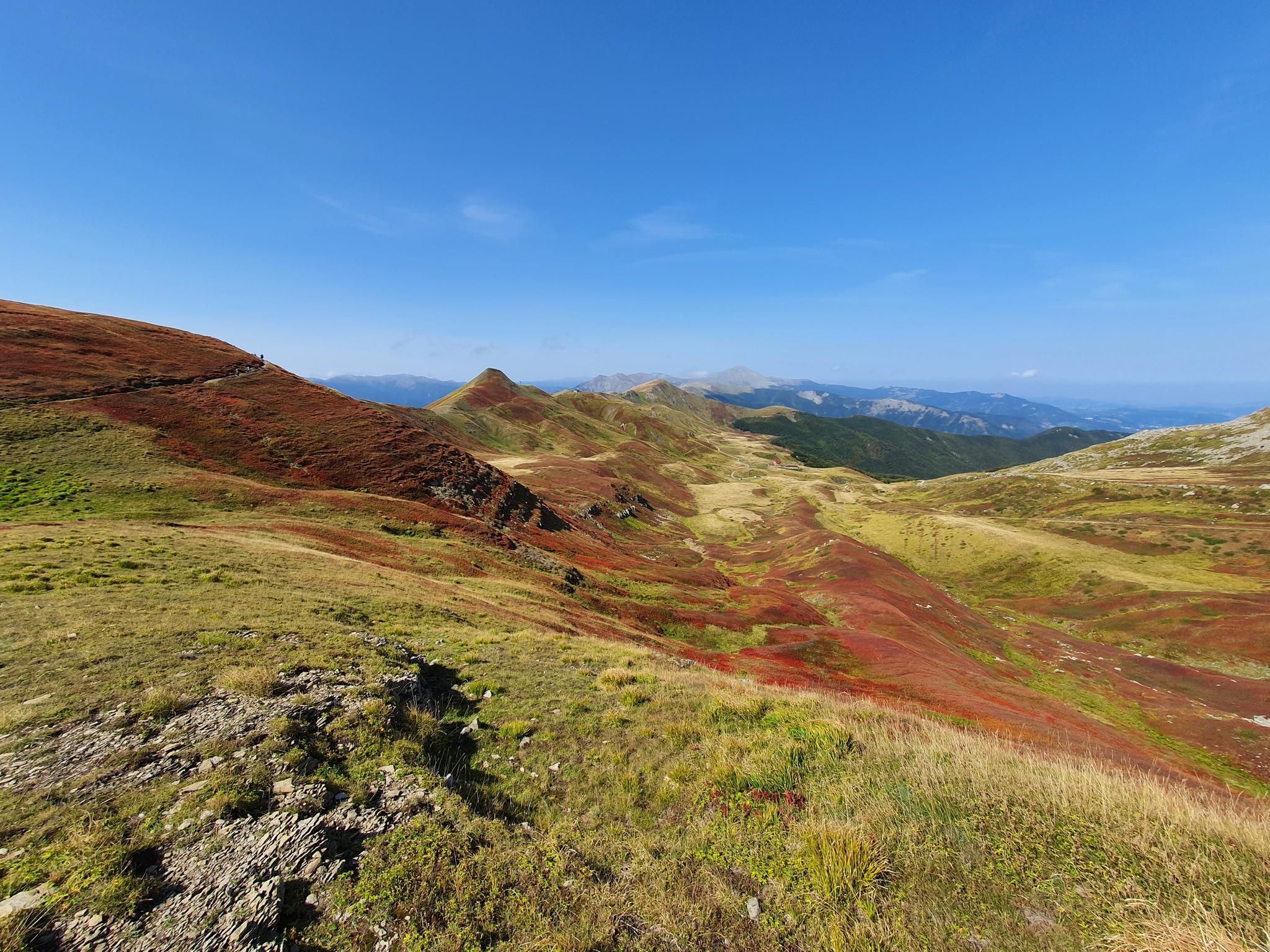
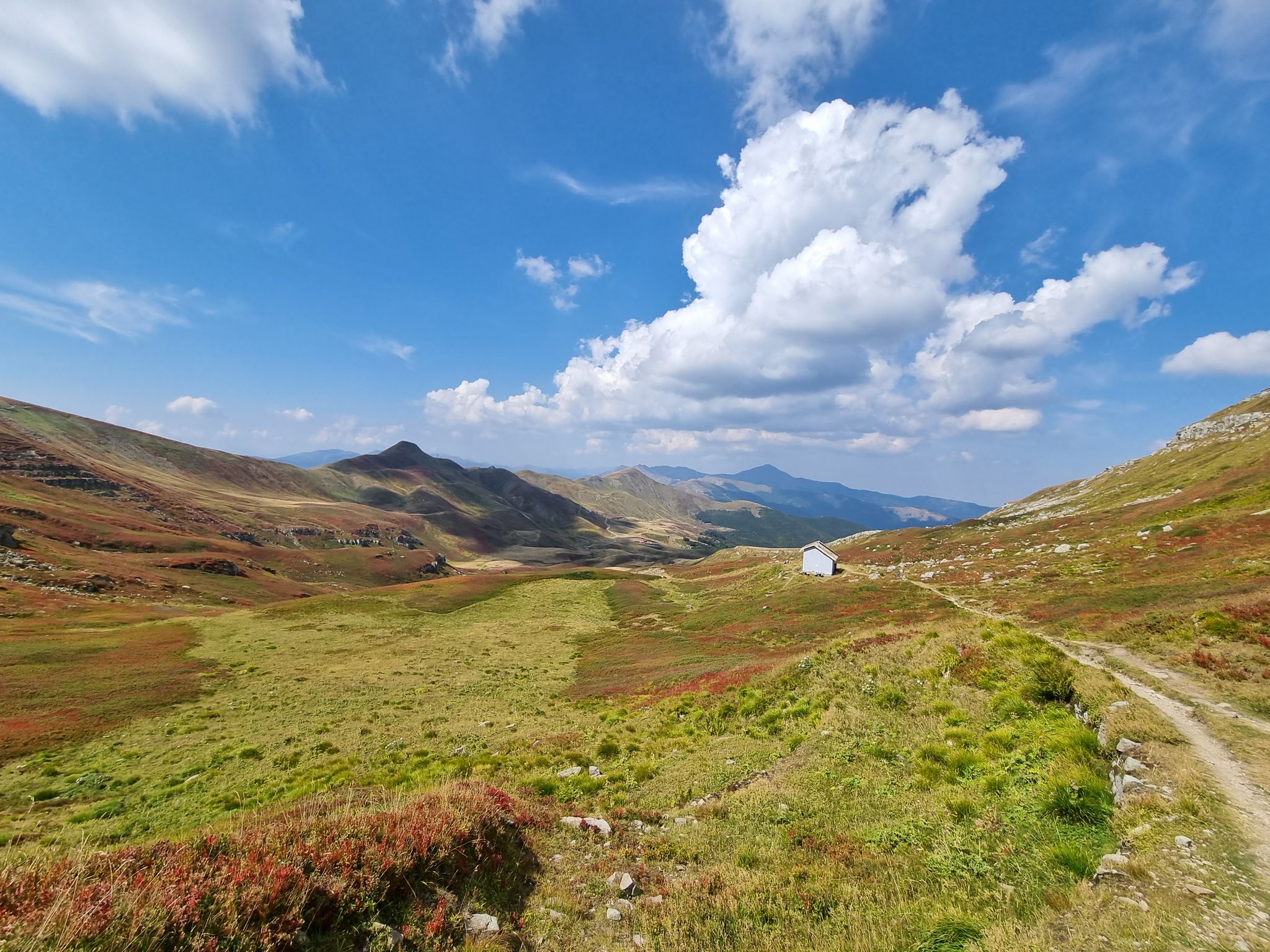
Bus station hiking trails around Park of the Modenese Apennine traverse a diverse landscape, characterized by prominent peaks such as Mount Cimone and Mount Giovo, and numerous glacial lakes including Lake Santo and Lake Baccio. The region features varied vegetation, transitioning from oak and chestnut forests at lower elevations to dense beech and coniferous woods higher up. Hikers can expect to encounter coombes, morainic chains, and streams that form waterfalls, all within this protected area.
Best bus station hiking trails…
Last updated: July 13, 2026
4.0
(1)
10
hikers
14.8km
06:02
820m
820m
Hard hike. Very good fitness required. Sure-footedness, sturdy shoes and alpine experience required.
2
hikers
12.2km
05:05
750m
740m
Hard hike. Very good fitness required. Mostly accessible paths. Sure-footedness required.

Sign up for free
4.5
(10)
49
hikers
Moderate hike. Good fitness required. Easily-accessible paths. Suitable for all skill levels.
4.7
(3)
9
hikers
Moderate hike. Good fitness required. Mostly accessible paths. Sure-footedness required.
5.0
(1)
6
hikers
4.14km
01:11
90m
90m
Easy hike. Great for any fitness level. Easily-accessible paths. Suitable for all skill levels.
Our route recommendations are based on thousands of hikes, rides, and runs completed by other people on komoot.
Start today with a free account
Your next adventure awaits.
Login or Signup
Popular around Park of the Modenese Apennine

Other adventures around Park of the Modenese Apennine


Tips from the Community

Small hamlet of Orsigna
0
0
One of the most beautiful villages in Italy
0
0


One of the mountains on trail 00
0
0

Mount Belvedere is one of the two peaks (the other is the nearby and higher Mount Rotondo) that form the Open Book group, so called because from afar it seems to see an enormous open book. Not far away, on the Emilian side there was a small lake, the Risaia lake, but it is now difficult to find it with a minimum amount of water.
2
0

Truly beautiful and challenging excursion... very satisfying 🏞️💙
2
0

At 1,896 meters above sea level, Mount Belvedere offers a spectacular view of the Tuscan-Emilian Apennines. On clear days, it is even possible to see the Apuan Alps. This mountain constitutes one of the two peaks of the Open Book, which also includes the highest peak, Mount Rotondo. The trails leading here can be a little steep in some sections, but the ride is easy and pleasant.
1
0

Frequently Asked Questions
How many bus station hiking trails are available in the Park of the Modenese Apennine?
There are 6 hiking routes in this guide that are accessible from bus stations. These trails offer a range of experiences, from moderate walks to challenging mountain ascents, allowing you to explore the diverse landscapes of the Modenese Apennine without a car.
What kind of natural features can I expect to see on these bus-accessible hikes?
The trails accessible from bus stations in the Park of the Modenese Apennine lead through a region rich in natural beauty. You can expect to encounter diverse forests, from chestnut and beech to coniferous woods at higher elevations. The area is also known for its glacial lakes, such as Lake Scaffaiolo and Lago Santo Modenese, and numerous streams that form beautiful waterfalls. Higher up, you'll find bilberry heathland and wild meadows, offering stunning panoramic views.
Are there any challenging hikes accessible by bus in the region?
Yes, the Park of the Modenese Apennine offers several challenging routes accessible by bus. For instance, the Alta via dei Parchi: Stage 09 is a difficult hike covering nearly 15 km with significant elevation gain. Another demanding option is the Passo dello Strofinatoio – Sofia Peak loop from Orsigna, which is over 21 km long and features substantial ascents, perfect for experienced hikers seeking a strenuous adventure.
What is the best time of year to go hiking from bus stations in the Modenese Apennine?
The best time for hiking in the Park of the Modenese Apennine generally depends on your preferred activity. Summer is ideal for enjoying the full range of trails and panoramic views. Autumn offers a spectacular display of foliage, with the woods rich in the scents of mushrooms and chestnuts. While this guide focuses on hiking, winter transforms the area into a destination for snowshoeing, with some trails potentially accessible for winter activities depending on snow conditions.
Are there any moderate, circular routes I can take from a bus stop?
Yes, there are moderate circular routes available. The Devil’s Footstep Pass – Giamba Mill loop from Orsigna is a moderate 11.7 km circular hike that offers a good balance of challenge and scenic beauty. Another moderate option is the View of the Apennine Mountains – Ruins in the Forest loop from Unione dell'Alto Reno, which is shorter at 6.9 km.
What kind of wildlife might I encounter on these trails?
The rich environment of the Park of the Modenese Apennine supports diverse wildlife. While hiking, you might spot roe deer, fallow deer, red deer, wild boar, and badgers. The park is also home to numerous bird species, including woodpeckers, shrikes, and even the majestic golden eagle. Though rare, wolves are also present in the area, and marmots have been introduced.
Are there any huts or refuges along the bus-accessible routes for refreshments or overnight stays?
Yes, some trails lead near or past mountain huts. For example, the area around Lake Scaffaiolo features the Rifugio Duca degli Abruzzi. Other huts in the broader region include Tassoni Hut and Taburri Mountain Hut. These can be excellent spots for a break, a meal, or even an overnight stay, depending on your route and planning.
What do other hikers enjoy most about the bus-accessible trails in the Park of the Modenese Apennine?
The komoot community highly rates the hiking experience in the Park of the Modenese Apennine, with an average score of 4.55 stars from over 8,400 ratings. Hikers frequently praise the stunning panoramic views from peaks like Monte Cimone Summit and Summit of Monte Spigolino, the tranquility of the ancient forests, and the beauty of the glacial lakes. The variety of trails, from gentle walks to challenging ridge hikes, is also a common highlight.
Can I find historical or cultural points of interest along these trails?
Yes, the region's trails can lead through areas with historical and cultural significance. You might encounter historic villages or sections of ancient roads like the Via Vandelli, an 18th-century route with original bridges and paved sections. Some routes, such as the Sanctuary of Madonna del Faggio – Stone Houses of Tresana loop from Unione dell'Alto Reno, specifically highlight historical structures and traditional architecture.
Are there any specific peaks or mountain passes I can reach via bus-accessible trails?
Several prominent peaks and passes are within reach. For example, the Croce Arcana Pass is a significant mountain pass offering access to ridge trails. While some of the highest peaks like Monte Cimone Summit might require longer hikes or connections, the bus-accessible routes provide excellent starting points to explore the surrounding mountainous terrain and reach various summits like Summit cross of Monte Giovo.
Most popular routes around Park of the Modenese Apennine
Most popular attractions around Park of the Modenese Apennine

Get inspired with the komoot mobile app


Explore more
Browse the best Hikes in other regions.
