The best traffic-free bike rides around Yding Skov
4.3
(72)
441
riders
22
rides
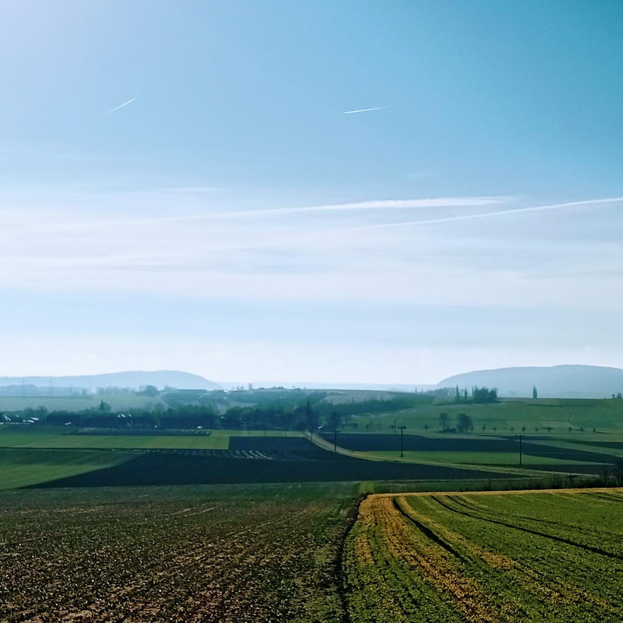
No traffic touring cycling routes around Yding Skov traverse a landscape characterized by rolling hills and dense forests, part of the "Danish Lakelands" topography. The area features notable elevations such as Yding Skovhøj, one of Denmark's highest points at 172.54 meters above sea level, offering an ascent of around 85 meters. Cyclists can find routes near the Gudenå river and Mossø lake, with views from hills like Sukkertoppen. The region also includes historical Bronze Age burial mounds, providing varied points…
Last updated: July 13, 2026
5.0
(4)
28
riders
21.3km
01:16
120m
120m
Easy bike ride. Great for any fitness level. Mostly paved surfaces. Suitable for all skill levels.
4.5
(2)
7
riders
28.2km
01:41
220m
220m
Moderate bike ride. Good fitness required. Mostly paved surfaces. Suitable for all skill levels.

Sign up for free
7
riders
17.0km
01:03
160m
160m
Moderate bike ride. Good fitness required. Mostly paved surfaces. Suitable for all skill levels.
4.0
(2)
5
riders
16.5km
01:02
140m
140m
Easy bike ride. Great for any fitness level. Mostly paved surfaces. Suitable for all skill levels.
5
riders
Moderate bike ride. Good fitness required. Mostly paved surfaces. Suitable for all skill levels.
Get access to more routes and recommendations from other explorers.
Sign up for free
Already have an account?
Our route recommendations are based on thousands of hikes, rides, and runs completed by other people on komoot.
Start today with a free account
Your next adventure awaits.
Login or Signup
Popular around Yding Skov

Tips from the Community

A great spot to take a break and enjoy the view over Lake Mossø.
0
0

The Rediscovered Bridge, also known as “Den Genfundne Bro,” is a fascinating historic bridge near Horsens, Denmark. Originally built in 1899 as part of a railway connection between Horsens and Bryrup, the bridge was filled in in 1929 and fell into oblivion. In 2014, the bridge was rediscovered and restored, and today it is a popular tourist destination. The red steel lattice bridge, which is 13.4 meters high and 50 meters long, offers impressive views over the Gudenå River. It is a symbol of impressive engineering and a piece of revived Danish history. The bridge is part of the Horsens-Silkeborg Nature Trail, which is perfect for hiking and cycling. There is also good parking and picnic areas nearby, making it an ideal place for a family day out.
0
1
The Rediscovered Bridge, also known as “Den Genfundne Bro,” is a fascinating historic bridge near Horsens, Denmark. Originally built in 1899 as part of a railway connection between Horsens and Bryrup, the bridge was filled in in 1929 and fell into oblivion. In 2014, the bridge was rediscovered and restored, and today it is a popular tourist destination. The red steel lattice bridge, which is 13.4 meters high and 50 meters long, offers impressive views over the Gudenå River. It is a symbol of impressive engineering and a piece of revived Danish history. The bridge is part of the Horsens-Silkeborg Nature Trail, which is perfect for hiking and cycling. There is also good parking and picnic areas nearby, making it an ideal place for a family day out.
0
0
Vestbirk Sø is one of three artificial lakes created in 1924 by the dam of the Gudenå River to power the Vestbirk hydroelectric power station. The other two lakes are Bredvad Sø and Naldal Sø. These lakes are located in a picturesque area known as Bakkelandet, popular for outdoor activities such as canoeing, hiking, and cycling. Vestbirk Sø is particularly renowned for its beautiful natural surroundings and is a great place for fishing, swimming, and birdwatching. The nearby Vestbirk campsite offers canoe and rowboat rentals, making it easy to explore the lake.
0
0
The underpass forms the intersection between the cycle path and Rydalvej.
0
0

Although it is not the highest point in Denmark, it was crowned by the Danes with an imposing viewing platform. The panoramic view is great and as a reward for the ascent there is also a kiosk that offers tonics.
1
0

Great facility and imposing building. Every few minutes a lovely melody is played near the tower. You could enjoy the view for free. Overall, the area is really nice.
0
0
The highest natural elevation in Denmark at 170.86 m.
3
0
Frequently Asked Questions
How many no-traffic touring cycling routes are available in Yding Skov?
There are over 25 dedicated no-traffic touring cycling routes around Yding Skov. These routes offer a variety of distances and difficulty levels, ensuring a suitable option for most cyclists looking for a peaceful ride.
What kind of terrain can I expect on no-traffic touring cycling routes in Yding Skov?
Yding Skov is known for its unique 'Danish Lakelands' topography, featuring beautiful, rolling hills and dense forests. While Denmark is generally flat, this region offers a more engaging cycling experience with ascents, including the area around Yding Skovhøj, which provides a rewarding challenge. Routes often wind through idyllic villages, forests, and farmland.
Are there any easy, car-free touring cycling routes suitable for beginners in Yding Skov?
Yes, Yding Skov offers several easy, car-free touring cycling routes perfect for beginners. For example, the View of Nørresø Lake – Den Genfundne Bro loop from Østbirk is an easy 21 km route with minimal elevation gain, ideal for a relaxed ride.
Can I find circular no-traffic touring cycling routes in the Yding Skov area?
Absolutely. Many of the no-traffic touring cycling routes in Yding Skov are designed as loops, allowing you to start and end at the same point. An example is the Fiskeballehøj loop from Alken, a moderate 17 km circular route offering scenic views.
What scenic viewpoints can I enjoy on a no-traffic touring cycling route in Yding Skov?
The Yding Skov area boasts several magnificent viewpoints. From various spots, including Yding Skovhøj itself, you can enjoy panoramic views of the Eastern Jutland landscape. The 'Sugar Loaf' (Sukkertoppen) also offers some of the best vistas over the Gudenå river area and Mossø lake, providing stunning natural scenery along your ride.
Are there any historical landmarks to see along the no-traffic touring cycling routes?
Yes, the region combines natural beauty with historical significance. Atop Yding Skovhøj, you can explore Bronze Age burial mounds, adding an intriguing historical dimension to your cycling experience. These ancient monuments offer a glimpse into Denmark's past amidst the scenic outdoors.
Is parking available near the starting points of no-traffic touring cycling routes in Yding Skov?
Yes, the area is well-equipped for cyclists, and accessible parking spaces are available near Yding Skovhøj and other popular starting points, facilitating day trips for touring cyclists.
How accessible are the no-traffic touring cycling routes in Yding Skov by public transport?
While some routes might be reachable by public transport, direct access to the more secluded, no-traffic sections can be limited. It's advisable to check local bus or train schedules to nearby towns like Horsens or Silkeborg and plan your cycling route from there, potentially involving a short ride on quieter roads to reach the car-free sections.
What is the best time of year for car-free cycling in Yding Skov?
The best time for car-free cycling in Yding Skov is generally from spring through early autumn (April to October). During these months, the weather is milder, the forests are lush, and the views are at their most vibrant. The 'Danish Lakelands' are particularly beautiful when in full bloom or displaying autumn colors.
Are there any cafes or places to rest along the no-traffic touring cycling routes in Yding Skov?
While the routes themselves prioritize car-free sections, many pass through or near idyllic villages and towns where you can find cafes, pubs, and restaurants. It's a good idea to plan your route to include stops in places like Alken or Østbirk for refreshments. For example, the View over Lake Mossø – Lake View loop from Alken starts and ends in Alken, offering options for a break.
What do other touring cyclists enjoy most about cycling in Yding Skov?
The Yding Skov area is highly rated by the komoot community, with an average score of 4.4 stars. Reviewers often praise the unique hilly landscape for Denmark, the challenging yet rewarding routes, the historical intrigue of Bronze Age mounds, and the breathtaking views over lakes and forests, especially on the quiet, car-free paths.
Can I bring my dog on the no-traffic touring cycling routes in Yding Skov?
Generally, dogs are welcome on trails in Denmark, provided they are kept on a leash and you clean up after them. However, specific rules can vary in certain protected areas or private lands. It's always best to check local signage or specific route details on komoot for any restrictions before heading out with your dog.
Most popular routes around Yding Skov

Get inspired with the komoot mobile app


Explore more
Browse the best Cycling routes in other regions.
