The best hikes from bus stations around Waldlichtung Blaubeuren
4.5
(8586)
35,142
hikers
10
hikes
Bus station hiking trails around Waldlichtung Blaubeuren traverse the Swabian Alb region, characterized by diverse landscapes including karst springs, ancient cave systems, and distinctive rock formations. The terrain features a mix of woodlands, river valleys, and elevated viewpoints. Hiking around Waldlichtung Blaubeuren offers routes that combine natural features with historical sites such as castle ruins and a historic old town.
Best bus station hiking trails around Waldlichtung Blaubeuren
- The most popular bus station hiking route is Blaubeuren Old Town –…
Last updated: July 13, 2026
4.8
(4)
26
hikers
Easy hike. Great for any fitness level. Easily-accessible paths. Suitable for all skill levels.
4.0
(1)
19
hikers
Easy hike. Great for any fitness level. Easily-accessible paths. Suitable for all skill levels.

Sign up for free
4.3
(3)
11
hikers
12.1km
03:16
160m
160m
Moderate hike. Good fitness required. Mostly accessible paths. Sure-footedness required.
4.0
(2)
12
hikers
3.50km
01:09
160m
160m
Easy hike. Great for any fitness level. Easily-accessible paths. Suitable for all skill levels.
4.8
(6)
11
hikers
Easy hike. Great for any fitness level. Easily-accessible paths. Suitable for all skill levels.
Get access to more routes and recommendations from other explorers.
Sign up for free
Already have an account?
Our route recommendations are based on thousands of hikes, rides, and runs completed by other people on komoot.
Start today with a free account
Your next adventure awaits.
Login or Signup
Popular around Waldlichtung Blaubeuren
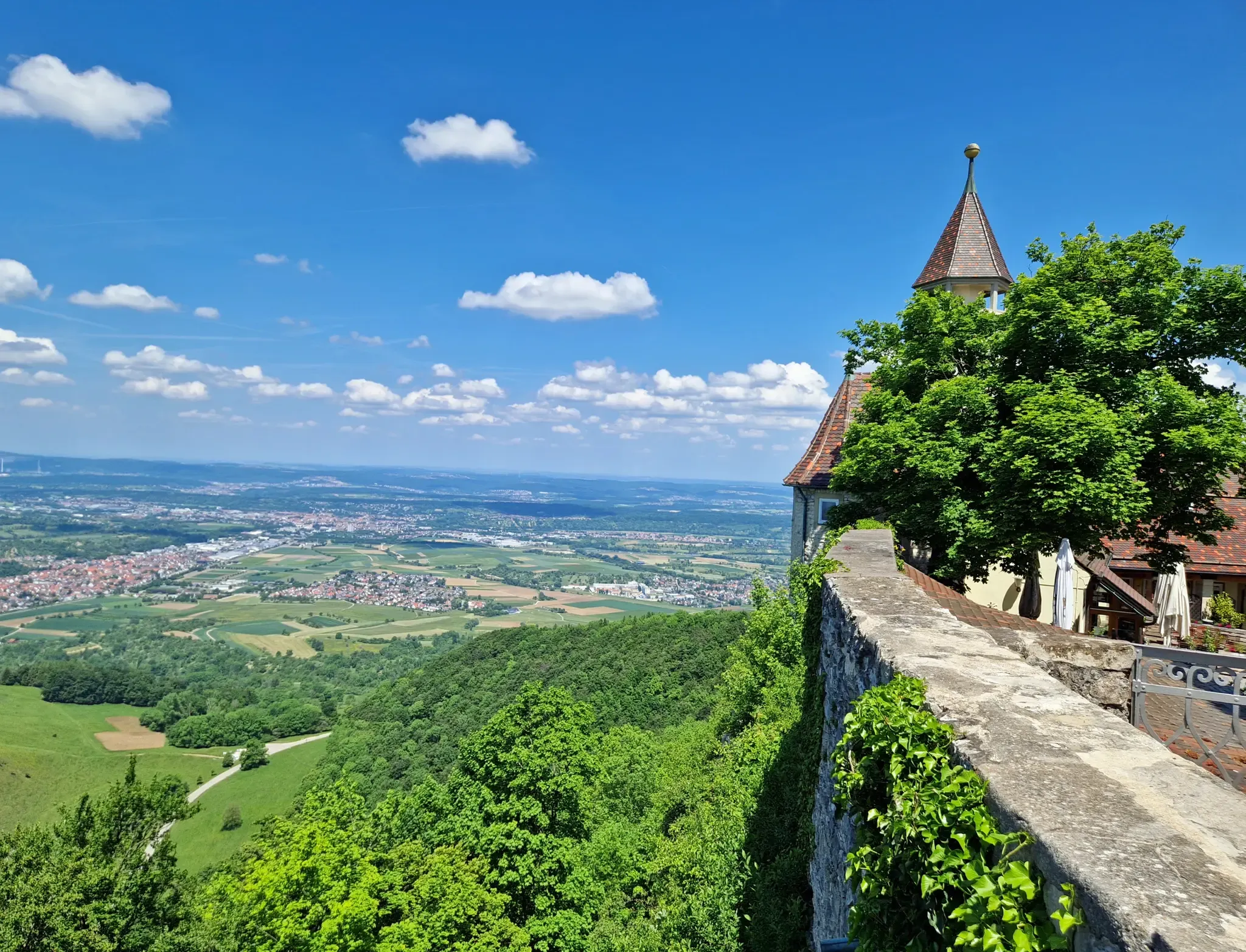
Other adventures around Waldlichtung Blaubeuren

Tips from the Community

The Blaubeuren Abbey Church is the late Gothic main church of the Benedictine monastery (founded in 1085), with a choir rebuilt from 1491 and a famous Ulm high altar from 1493.
2
0

The year 1671 is inlaid in color on the roof.
0
0


The view over and into the quarry is always very impressive.
2
0

Great view, you can see more in spring when there are no leaves on the trees.
3
0
Venerable memorial to the fallen of the First World War.
4
0
In honor of the soldiers who fell in World War I.
4
0
Great barbecue area with several grill spots. The children can let off steam on the playground next door.
3
0
Frequently Asked Questions
How many bus station hiking trails are available around Waldlichtung Blaubeuren?
There are over 500 hiking routes accessible from bus stations around Waldlichtung Blaubeuren. These trails cater to various fitness levels, with more than 300 easy routes and over 230 moderate options, ensuring there's a suitable path for almost everyone.
What kind of landscapes can I expect on hikes from bus stations in this region?
The region offers a diverse range of landscapes, from the striking blue waters of the Blautopf karst spring to ancient cave systems and unique rock formations like the Küssende Sau Rock Formation. You'll also encounter historic castle ruins and scenic viewpoints overlooking the valleys.
Are there any family-friendly bus station hikes in Waldlichtung Blaubeuren?
Yes, many routes are suitable for families. The area features numerous easy and moderate trails. For example, the Hammer Forge at the Blautopf – Blautopf loop from Blaubeuren is a moderate 8.9 km route that takes you past the famous Blautopf, offering an engaging experience for all ages.
Can I bring my dog on these bus station hiking trails?
Generally, dogs are welcome on most hiking trails in the Waldlichtung Blaubeuren region. However, it's always advisable to keep them on a leash, especially near wildlife, livestock, or in nature reserve areas. Always check local signage for specific restrictions.
Are there circular routes available from bus stations?
Yes, many of the bus station accessible hikes are circular routes, allowing you to start and end at the same point without needing to retrace your steps. An example is the Blaubeuren Old Town – Knoblauchfelsen Viewpoint loop from Blaubeuren, which offers a moderate 6.97 km journey through historical sights and scenic views.
What historical sites or attractions can I see along these routes?
The region is rich in history. You can explore the historic old town of Blaubeuren, discover castle ruins such as the Rusenschloss Ruins or the Günzelburg Ruins, and visit ancient cave systems. The Rusenschloss Ruins – Küssende Sau Rock Formation loop from Blaubeuren is a great option to combine natural beauty with historical exploration.
What is the best time of year to hike around Waldlichtung Blaubeuren?
The Waldlichtung Blaubeuren region is beautiful year-round, but spring and autumn offer particularly pleasant hiking conditions with mild temperatures and vibrant natural colors. Summer is also popular, though trails can be busier. Winter hiking is possible, but some paths might be slippery or require appropriate gear.
Are there any challenging bus station hikes for experienced hikers?
While most routes are easy to moderate, there are a few more challenging options. For instance, the Sontheim Cave – Günzelburg Ruins loop from Blaubeuren is a difficult 20.92 km hike that provides a longer and more demanding experience for those seeking a challenge.
What do other hikers enjoy most about the bus station trails in Waldlichtung Blaubeuren?
The area is highly rated by the komoot community, with an average score of 4.5 stars. Reviewers often praise the diverse landscapes, the combination of natural wonders like the Blautopf with historical sites, and the well-maintained paths that make for an enjoyable hiking experience directly from public transport access points.
Are there routes that offer great viewpoints?
Absolutely. Many trails lead to stunning panoramic views. The Bischofsfelsen – View of Blaubeuren loop from Blaubeuren is a moderate 7.98 km route specifically designed to showcase the beautiful vistas over Blaubeuren and the surrounding valleys, including the notable View of Blaubeuren from the Rock Outcrop.
Most popular routes around Waldlichtung Blaubeuren
Most popular attractions around Waldlichtung Blaubeuren

Get inspired with the komoot mobile app


Explore more
Browse the best Hikes in other regions.
