The best traffic-free bike rides around Rammert
4.5
(1950)
26,014
riders
79
rides
No traffic road cycling routes around Rammert traverse a picturesque forested hill range in central Baden-Württemberg, Germany. This region, located southwest of the Schönbuch forest and separated by the Tübingen Bay at the Neckar River, features varied topography with elevations up to 590 meters above sea level. Road cyclists encounter striking ledges 100 to 150 meters high along the Neckar valley rim, offering engaging ascents and scenic views. The area is predominantly forested with a mix of beech, spruce, Scots…
Last updated: October 16, 2026
4.8
(70)
599
riders
Moderate road ride. Good fitness required. Mostly well-paved surfaces and easy to ride.
4.8
(5)
56
riders
Easy road ride. Great for any fitness level. Mostly well-paved surfaces and easy to ride.

23
riders
18.9km
00:50
140m
140m
Easy road ride. Great for any fitness level. Mostly well-paved surfaces and easy to ride.
4.3
(20)
290
riders
52.2km
02:24
530m
530m
Moderate road ride. Good fitness required. Some segments of this route may be unpaved and difficult to ride.
4.6
(43)
284
riders
Easy road ride. Great for any fitness level. Mostly well-paved surfaces and easy to ride.
Get access to more routes and recommendations from other explorers.
Already have an account?
Our route recommendations are based on thousands of hikes, rides, and runs completed by other people on komoot.
Start today with a free account
Your next adventure awaits.
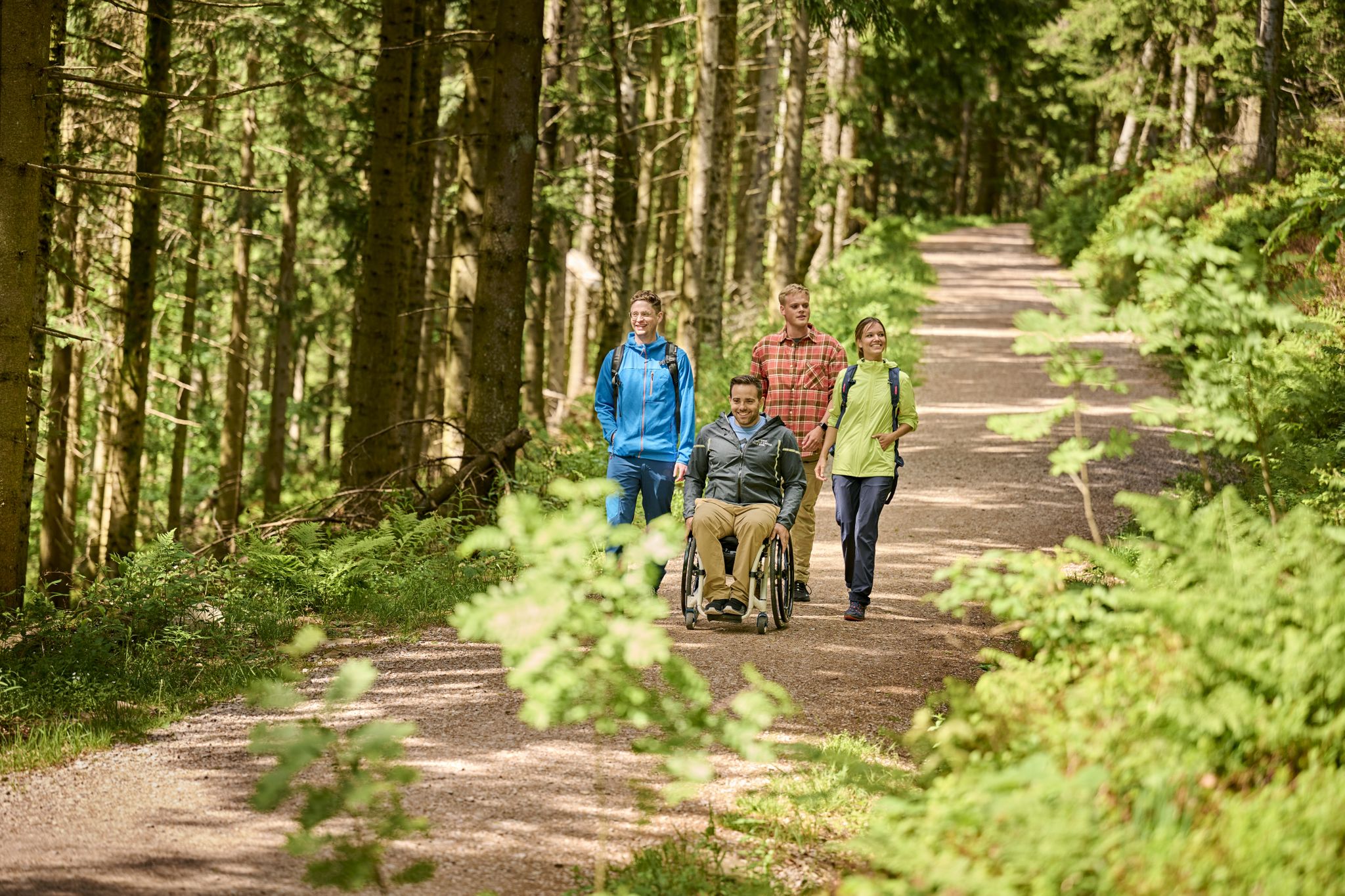

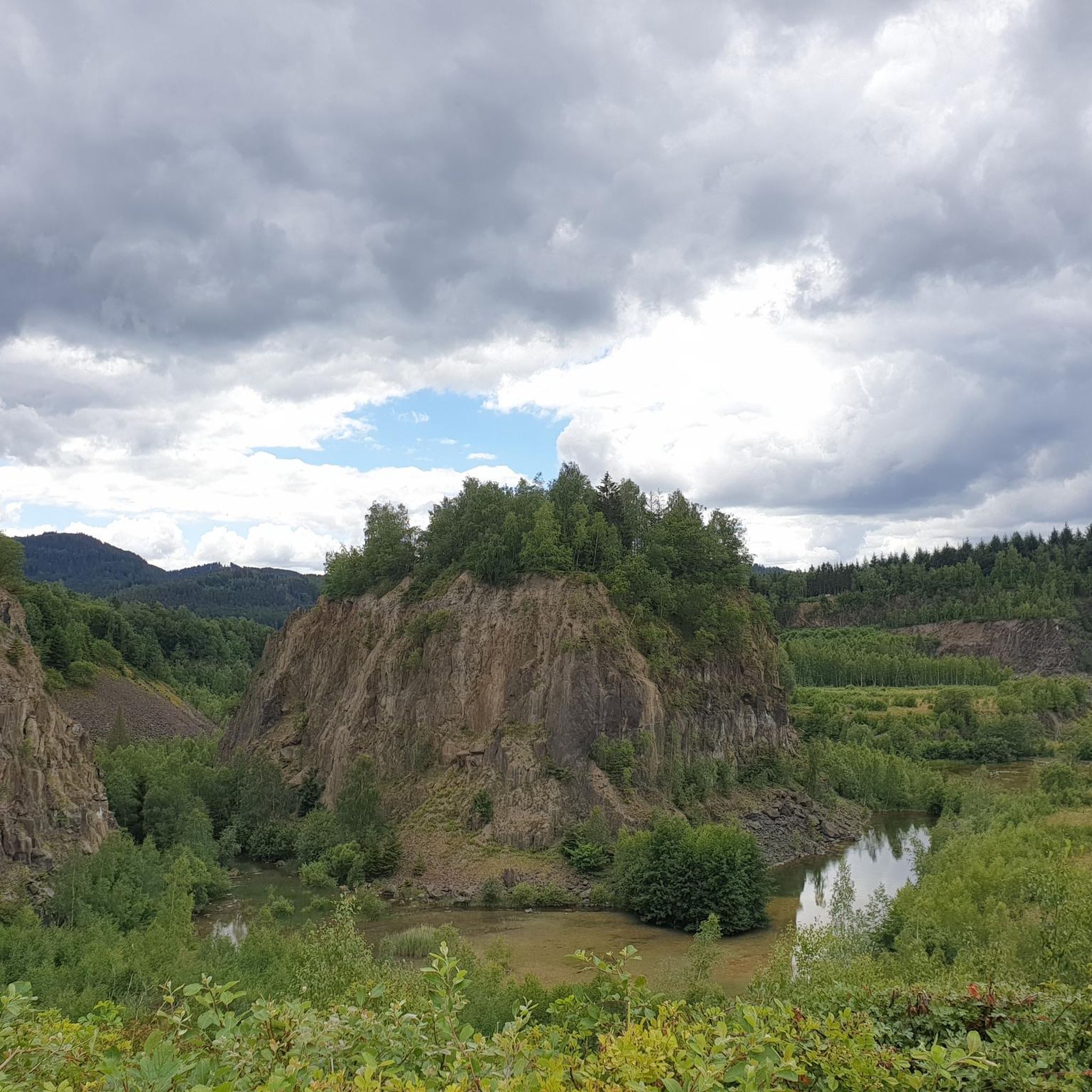
Other adventures around Rammert

Tips from the Community

unfortunately it is often used as a shortcut by cars, which often push past with very little side clearance, (on weekends not as often as on weekdays).
0
0

Wonderful view in a quiet atmosphere
0
0

Relaxed route to Oberndorf
0
0

the fastest bike path from Tübingen to Entringen, as far away from the federal highway as possible...
0
0

The Wurmlinger Kapelle is visible from afar. Whether from the Ammertal or from the Hirschauer Baggerseen, it looks good from all sides.
6
0

Cycle path between B27 and Steinlach 🌊 - Tübingen-Derendingen - Tübingen district
0
0
Cycle path along the B27 - Dußlingen sewage treatment plant area - Tübingen district
0
0
Cycle path above the B27 tunnel - Dußlingen - Tübingen district
0
0
Frequently Asked Questions
How many traffic-free road cycling routes are available in the Rammert region?
There are over 75 dedicated traffic-free road cycling routes in the Rammert region, offering a wide range of experiences for cyclists. These routes are specifically curated to provide a peaceful and safe riding environment away from vehicular traffic.
What is the general difficulty level of no-traffic road cycling routes in Rammert?
The traffic-free road cycling routes in Rammert cater to various fitness levels. You'll find a good mix, with approximately 34 easy routes, 39 moderate routes, and 6 more challenging options. This ensures there's something for everyone, from leisurely rides to more demanding ascents.
What kind of terrain can I expect on traffic-free road cycling routes in Rammert?
The Rammert region offers diverse terrain for traffic-free road cycling. You can expect varied topography, including engaging ascents along the Neckar valley rim, and routes that traverse predominantly forested areas with a mix of beech, spruce, and oak. Many routes feature well-paved surfaces, making them ideal for road bikes, and some follow stream valleys like the Vorbach, Katzenbach, and Krebsbach.
Are there any scenic viewpoints or landmarks along the traffic-free road cycling routes?
Yes, many traffic-free road cycling routes in Rammert offer beautiful views and pass by notable landmarks. For instance, the View of Wurmlinger Chapel – Neckar Cycle Path loop from Tübingen-Derendingen provides scenic vistas. You might also encounter charming villages, orchards, and vineyards, or even catch glimpses of historical sites like Hohentübingen Castle or Bebenhausen Monastery from nearby routes.
When is the best time of year to enjoy traffic-free road cycling in Rammert?
The Rammert region is beautiful for road cycling throughout much of the year. Spring and autumn offer pleasant temperatures and vibrant scenery, with autumn foliage being particularly stunning. Summer is also great, especially with the shaded routes through the extensive forests. Winter conditions can vary, so it's always best to check local weather and trail conditions before heading out.
What do other cyclists say about the traffic-free road cycling routes in Rammert?
The traffic-free road cycling routes in Rammert are highly regarded by the komoot community, boasting an average rating of 4.57 out of 5 stars from over 1550 ratings. Cyclists frequently praise the tranquil atmosphere, the well-maintained paved surfaces, and the opportunity to enjoy the natural beauty of the Rammert forest without vehicle interference.
Are there family-friendly traffic-free road cycling options in Rammert?
Absolutely! The Rammert region offers several family-friendly traffic-free road cycling routes. Many of the easy-rated routes, such as the Cycle path bridge Tübingen station – View of Wurmlinger Chapel loop from Tübingen Hbf, are suitable for families looking for a relaxed ride on paved paths away from cars. These routes often have minimal elevation gain, making them accessible for all ages.
Where can I park my car to access traffic-free road cycling routes in Rammert?
There are various parking options available to access the traffic-free road cycling routes in Rammert. Many routes start near towns like Tübingen or Dußlingen, where public parking is available. Additionally, the 'Rammert Rottenburg Trailhead and Parking Area' is a known amenity that serves as a convenient starting point for outdoor activities, including cycling.
Can I find longer traffic-free road cycling routes for extended rides?
Yes, for those seeking longer rides, the Rammert area provides options. The Neckartal Cycle Path – View of Burg Teck loop from Dußlingen, for example, is a moderate route spanning over 96 km with significant elevation gain, offering an extended traffic-free experience through varied landscapes.
Are there any routes that combine riverside riding with forest sections?
Many routes in the Rammert region beautifully combine riverside riding along the Neckar with sections through the Rammert forest. The Cycle path bridge Tübingen station – Weggental Monastery loop from Tübingen Hbf is a great example, allowing you to enjoy the tranquility of the river and the shade of the woodlands on a single, traffic-free ride.
Are there any specific challenges for road cyclists in the Rammert region?
While many routes are easy to moderate, the Rammert region's varied topography means some routes can present challenging terrain, especially within the Rammert Forest itself. You might encounter ledges 100 to 150 meters high along the Neckar valley rim, providing engaging ascents that require good fitness. Always check the route's elevation profile before you go.
Most popular routes around Rammert
Most popular attractions around Rammert

Get inspired with the komoot mobile app


Explore more
Browse the best Road cycling routes in other regions.
