The best hikes from bus stations around Hürtgenwald
4.5
(10929)
38,132
hikers
105
hikes
Bus station hiking trails around Hürtgenwald offer access to a landscape characterized by dense forests, rolling hills, and deep, wooded valleys. The region is situated at the northern edge of the Eifel mountains, featuring prominent natural elements like the Kall Valley, Rur River, and reservoirs such as the Wehebachtalsperre and Obermaubach. Hikers can explore a network of trails that traverse varied terrain, from idyllic wet meadows to impressive beech forests.
Best bus station hiking trails around Hürtgenwald
- The most popular…
Last updated: June 29, 2026
4.7
(2075)
6,332
hikers
9.89km
02:46
180m
180m
Moderate hike. Good fitness required. Mostly accessible paths. Sure-footedness required.
4.6
(346)
1,148
hikers
7.10km
01:59
140m
140m
Easy hike. Great for any fitness level. Easily-accessible paths. Suitable for all skill levels.

Sign up for free
4.6
(150)
537
hikers
Moderate hike. Good fitness required. Easily-accessible paths. Suitable for all skill levels.
4.7
(34)
126
hikers
19.5km
05:19
290m
300m
Hard hike. Very good fitness required. Mostly accessible paths. Sure-footedness required.
4.3
(53)
196
hikers
Moderate hike. Great for any fitness level. Mostly accessible paths. Sure-footedness required.
Get access to more routes and recommendations from other explorers.
Sign up for free
Already have an account?
Our route recommendations are based on thousands of hikes, rides, and runs completed by other people on komoot.
Start today with a free account
Your next adventure awaits.
Login or Signup
Popular around Hürtgenwald
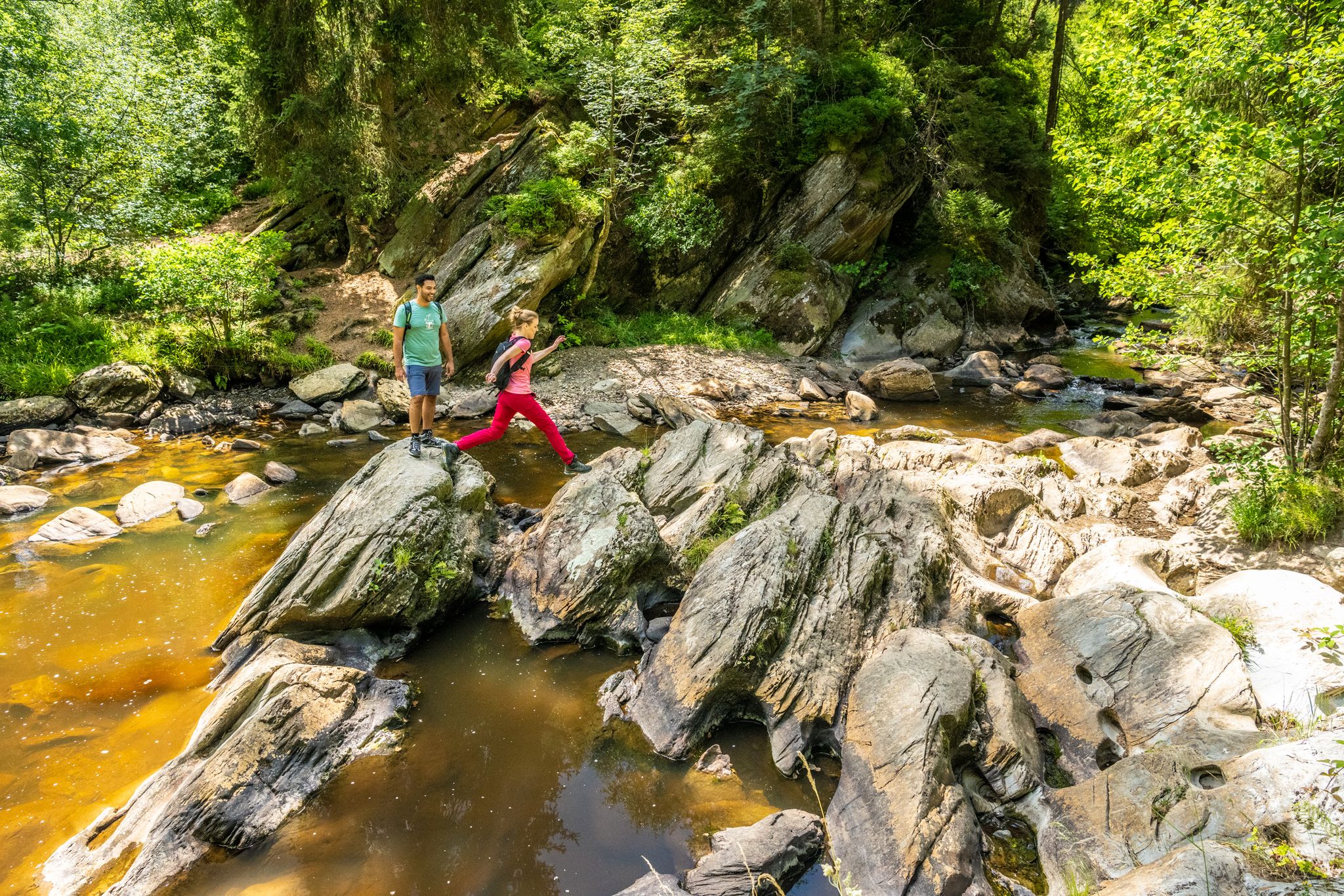

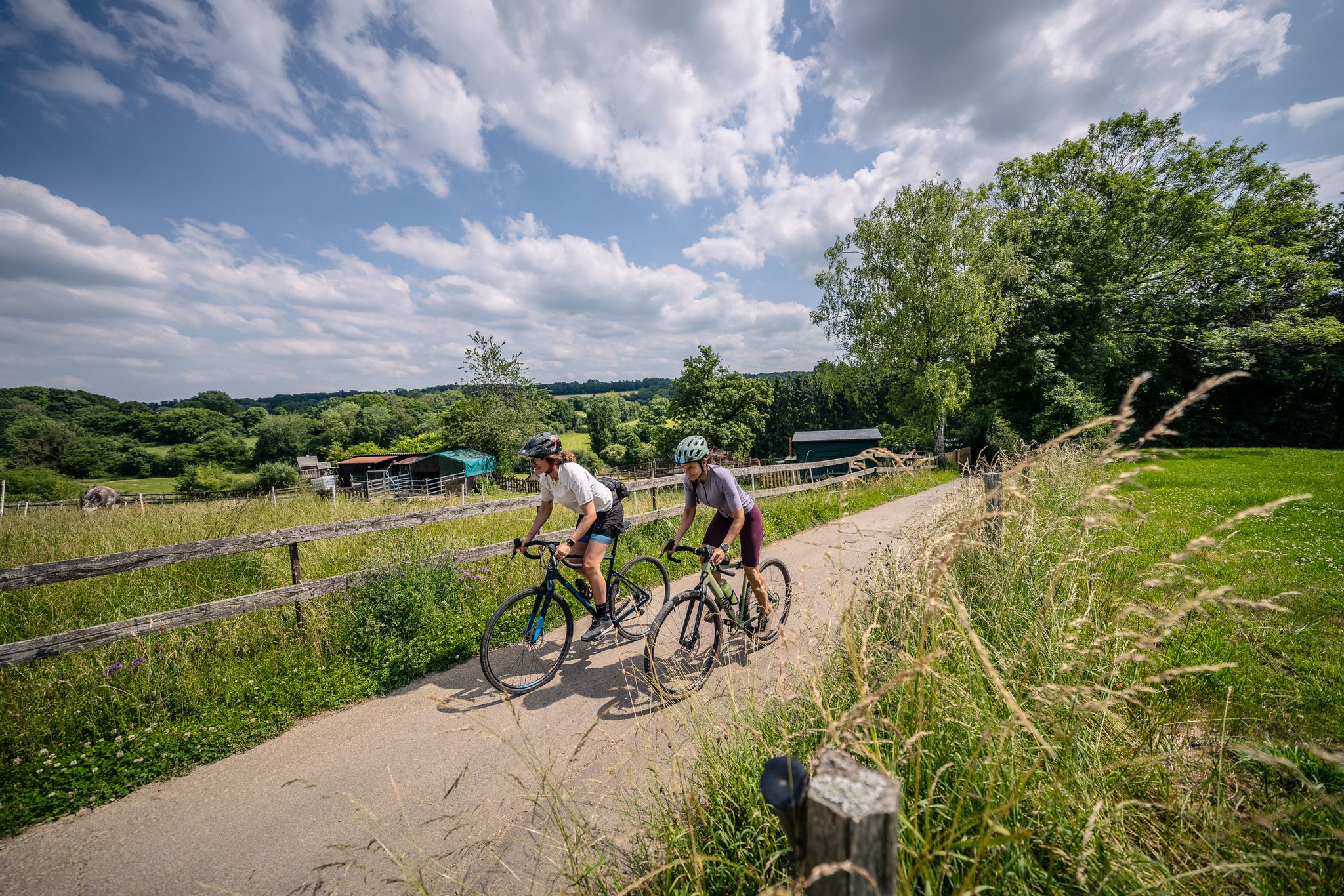
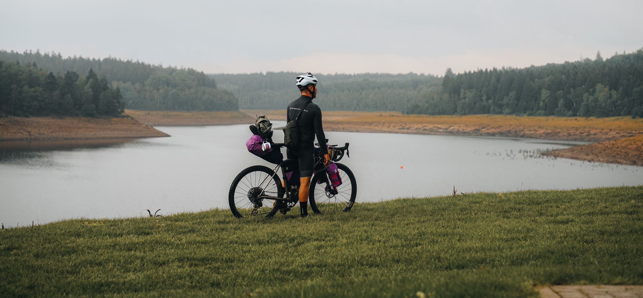
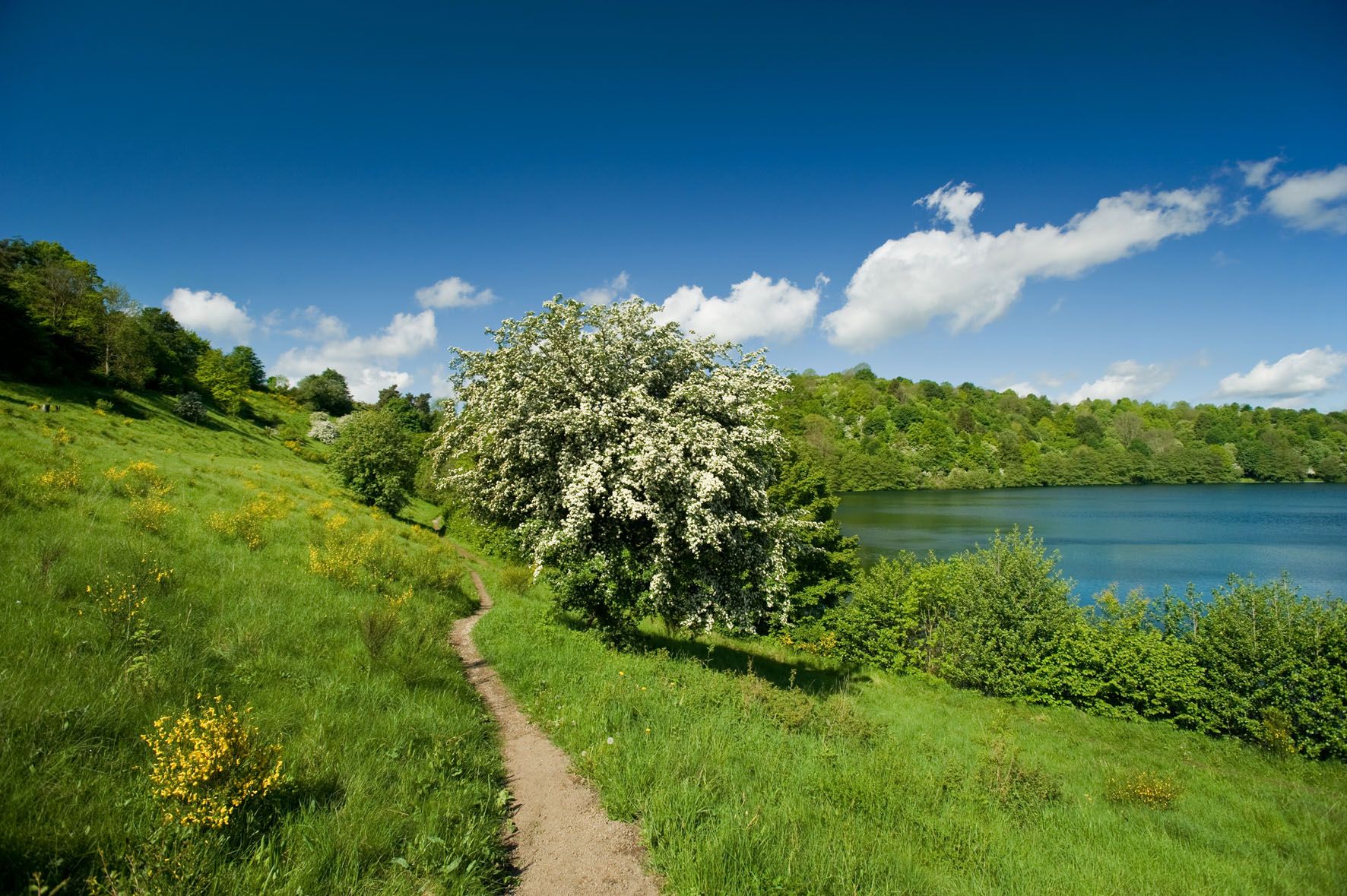
Other adventures around Hürtgenwald


Tips from the Community

Here are popular paths and hiking routes in and around the Schlangenberg nature reserve (Germany North Rhine-Westphalia) including various options for distance and difficulty: 🌲 1. Schlangenberg Nature Reserve – round tours • Round tour from Vicht: ±7.9 km, approx. 2 hr 10 min. average level. Beautiful paths through the reserve with slight elevation changes. • Round tour from Zweifall: ±9.9 km, approx. 2 hr 40 min, average level. Longer hike with views of streams, ponds, and forest landscape. • Vichter forest path – shorter loop: ±5.6 km, easy to walk, suitable for a relaxing stroll. 👉 These routes partly run over well-maintained unpaved paths and gravel paths that wind through nature. 🌼 2. Breinig Hike (BR2) • Breinig Circular Route BR2: ±6.9 km, average level. Beautiful loop through the reserve and surrounding nature with slight elevation changes. 🌳 3. Small loop – Small Forest Loop • Small forest walk near Schlangenberg: ±1.8 km (1.1 miles), easy and ideal for a short nature walk, suitable for everyone and lovely for a half-hour to an hour's walk. 📍 Tips for hikes ✔ The paths in the Schlangenberg nature reserve are generally marked and well-maintained with both short and longer options. ✔ Check GPX tracks or maps in advance via hiking sites/apps like Komoot or RouteYou if you want to follow the exact route. ✔ As Schlangenberg is located in a protected nature area (Naturpark Hohes Venn-Eifel), it is important to stay on the paths and respect any rules.
1
0

Recently renovated, location is nicely landscaped.
0
0

The hut has been renovated. It also houses a rescue point.
0
0

Nice way down. The way up might not be so relaxing :p
0
0
Impressive memorial located directly on the street.
0
0

Very nice hiking area not far from Stolberg.
0
0

In memory of all fallen American and German soldiers of WWII. Here represented by 2 war victims. Behind it a field of anti-tank blocks.
0
0
Frequently Asked Questions
How many bus station hiking trails are available in Hürtgenwald?
There are over 100 hiking routes around Hürtgenwald that are easily accessible from bus stations, offering a wide variety of experiences for all skill levels. You'll find 47 easy, 55 moderate, and 5 difficult trails to explore.
What kind of landscapes can I expect on bus station hikes in Hürtgenwald?
Hürtgenwald's bus station hikes lead through a diverse landscape of dense forests, rolling hills, and deep, wooded valleys. You can expect to see features like the scenic Kall Valley, parts of the Rur River, and expansive views of reservoirs such as the Wehebachtalsperre and Obermaubach Reservoir. Many trails also meander along idyllic streams and through impressive beech forests.
Are there any historical sites or landmarks to see on these bus station trails?
Yes, Hürtgenwald is rich in history, particularly from World War II. Many trails pass by remnants of the Westwall (Siegfried Line), including old trenches and bunkers. You might also encounter memorial sites for fallen soldiers. While not directly on a bus station route, the View of the Dreilägerbach Dam is a notable nearby attraction.
Are there any easy bus station hikes suitable for beginners or families?
Absolutely. Many of the 47 easy routes are perfect for beginners or families. For a moderate option that's still very accessible, consider the Struffelt Route, which is just under 10 km and offers a pleasant walk through nature.
Can I bring my dog on bus station hikes in Hürtgenwald?
Yes, Hürtgenwald is generally very dog-friendly. Most trails accessible from bus stations welcome dogs, provided they are kept on a leash, especially in nature reserve areas or near wildlife. Always check local signage for specific rules, but you and your canine companion will find plenty of paths to enjoy together.
Are there any bus station hikes that offer great viewpoints or reservoir views?
Many routes provide stunning vistas. For reservoir views, the region around the Wehebachtalsperre and Obermaubach Reservoir is ideal. While not a bus station route itself, the View of the Dreilägerbach Dam is a popular viewpoint in the area that can be incorporated into a hike.
Are there circular bus station routes available?
Yes, many of the bus station hikes in Hürtgenwald are circular, allowing you to start and end at the same bus stop without needing to retrace your steps. An example is the Schlangenberg Nature Reserve loop from Schlangenberg, which is a moderate 7.9 km circular hike.
What is the best time of year to go bus station hiking in Hürtgenwald?
The best seasons for hiking in Hürtgenwald are spring and autumn. In spring, wildflowers are in bloom and the forests are lush green. Autumn offers spectacular displays of changing leaf colors. The weather during these seasons is typically mild and pleasant for outdoor activities.
What do other hikers say about the bus station trails in Hürtgenwald?
The bus station trails in Hürtgenwald are highly rated by the komoot community, with an average score of 4.5 stars from over 9,900 ratings. Hikers often praise the quiet woodlands, the well-marked paths, and the diverse natural beauty, especially the serene reservoir views and historical points of interest.
Can I find routes that pass by unique natural features like beaver habitats?
Yes, the region is known for its diverse wildlife. A notable feature is the beaver habitat at the Weberbach. While specific bus station routes might vary, the general area offers opportunities to explore such unique natural environments. The Struffelt Pond is another beautiful natural monument you might encounter.
Are there any longer or more challenging bus station hikes?
For those seeking a greater challenge, Hürtgenwald offers several difficult bus station hikes. The Struffelt Boardwalk – Hasselbachgraben Forest Trail loop from Roetgen is a demanding 19.4 km route with significant elevation changes, perfect for experienced hikers looking for a longer adventure.
Most popular routes around Hürtgenwald
Most popular attractions around Hürtgenwald

Get inspired with the komoot mobile app


Explore more
Browse the best Hikes in other regions.
