The best traffic-free bike rides around Trinkwassertalsperre Frauenau
4.6
(61)
363
riders
23
rides
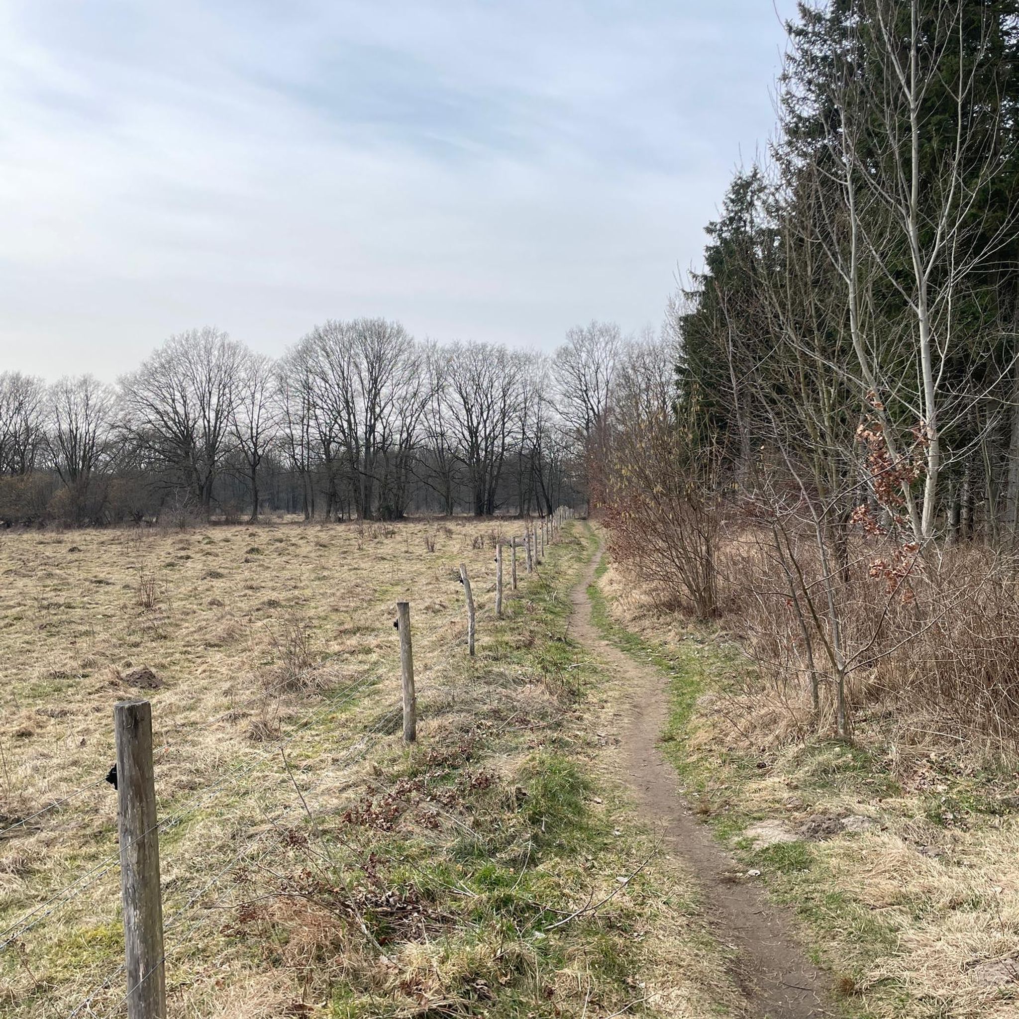
No traffic gravel bike trails around Trinkwassertalsperre Frauenau are situated within the Bavarian Forest National Park, offering a landscape of dense, unspoiled forests and the significant drinking water reservoir. The terrain features rolling paths around the reservoir, fed by rivers like the Kleine Regen, and offers views of prominent Bavarian Forest peaks. Paths are suitable for gravel biking, with sections of rolled gravel and some paved areas, providing varied surfaces for exploration. The region's high elevation and natural features contribute to a diverse gravel biking experience.
Best no traffic gravel bike trails around Trinkwassertalsperre Frauenau
- The most popular no traffic gravel bike trail is Frauenau Drinking Water Reservoir – Racheldienst Hut loop from Buchenau, a 37.9 miles (61.2 km) trail that takes 3 hours 50 minutes to complete. This difficult route explores the extensive forest landscape and offers views of the reservoir.
- Another top favourite among local gravel bikers is Buchenau Castle – Up close to the Großer Regen loop from Frauenau, a difficult 32.5 miles (52.3 km) path. This route traverses varied terrain, including sections near the Großer Regen river and through the national park's forests.
- Local gravel bikers also love the Oberfrauenau Estate – Frauenau Drinking Water Reservoir loop from Frauenau, a 14.4 miles (23.2 km) trail leading through pristine forests and past the reservoir, often completed in about 1 hour 30 minutes.
- Gravel biking around Trinkwassertalsperre Frauenau is defined by pristine forests, the expansive drinking water reservoir, and views of Bavarian Forest peaks. The network offers options for different ability levels, from moderate loops to more difficult, longer routes.
- The routes in Trinkwassertalsperre Frauenau are highly rated by the komoot community with an average score of 4.6 stars from more than 30 reviews. More than 300 gravel bikers have used komoot to explore Trinkwassertalsperre Frauenau's varied terrain.
Last updated: October 16, 2026
8
riders
60.1km
03:45
870m
870m
Hard gravel ride. Very good fitness required. Mostly paved surfaces. Suitable for all skill levels.
8
riders
Hard gravel ride. Very good fitness required. Mostly paved surfaces. Suitable for all skill levels.

4.0
(1)
6
riders
33.6km
02:22
540m
540m
Hard gravel ride. Very good fitness required. Mostly paved surfaces. Suitable for all skill levels.
10
riders
Hard gravel ride. Very good fitness required. Mostly paved surfaces. Suitable for all skill levels.
9
riders
Hard gravel ride. Very good fitness required. Mostly paved surfaces. Suitable for all skill levels.
Get access to more routes and recommendations from other explorers.
Already have an account?
Our route recommendations are based on thousands of hikes, rides, and runs completed by other people on komoot.
Start today with a free account
Your next adventure awaits.
Popular around Trinkwassertalsperre Frauenau
Tips from the Community

The state border between Germany and the Czech Republic runs right through the railway facilities and the station building. The station therefore has two postal addresses: Bahnhofstraße 54, Bayerisch Eisenstein and Debrník 30, Železná Ruda. Very interesting to look around there!
1
0

The border station Železná Ruda-Alžbětín is a historic building in Europe, with the state border between Germany and the Czech Republic running right through the station building. It was built in 1877 as a joint station, lost its function due to the Iron Curtain during the Cold War, and has served again as an active, touristically significant railway hub in the Bavarian Forest since its reopening in 1991.
12
0
At an altitude of about 850 meters above sea level, there is this wooden hiking hut, open on one side, with a bench as shelter in bad weather. As the hut is located in the national park, overnight stays are strictly forbidden.
8
0
Since 1994, the Bayerischer Localbahn Verein e.V. has operated the Local Railway Museum in Bayerisch Eisenstein. In the locomotive shed with a turntable, visitors can take a tour through the history of Bavarian local railways from 1876 to the present day. Numerous steam, diesel, and electric locomotives, as well as the corresponding wagons, provide an impression of what travel on Bavarian branch lines looked like a hundred years ago. The collection is supplemented by other railway operation utensils - from the historic signal box and signal technology to the water crane for steam locomotives.
11
0
Centuries ago, an important trade route led across the border between Bavaria and Bohemia. During the Cold War, this came to an end: The Iron Curtain sealed the border. Barbed wire, barriers, and border guards separated the two countries. Today, the border is open again, and the Ferdinandsthal crossing connects the Bavarian Forest with the Šumava National Park. You can easily cross the border here on foot, by bike, or on skis.
9
0
The border station Bayerisch Eisenstein is a historic building of European significance, where the state border between Germany and the Czech Republic runs right through the station building. It was built in 1877 as a joint station, lost its function due to the Iron Curtain in the Cold War, and has served again as an active, tourist-oriented railway hub in the Bavarian Forest since its reopening in 1991.
16
0

Small waterfall with a bench for resting.
1
0

Frequently Asked Questions
How many no-traffic gravel bike trails are available around Trinkwassertalsperre Frauenau?
There are over 20 dedicated no-traffic gravel bike trails around Trinkwassertalsperre Frauenau, offering a variety of distances and challenges. These routes allow you to explore the pristine forests and scenic landscapes of the Bavarian Forest National Park without vehicle interference.
What kind of terrain can I expect on the gravel bike trails near Trinkwassertalsperre Frauenau?
The terrain around Trinkwassertalsperre Frauenau is diverse, featuring a mix of 'rolled gravel' paths, forest trails, and some paved sections, particularly around the reservoir itself. You'll encounter varying elevations, from gentle inclines to more challenging climbs, as many routes venture into the surrounding peaks of the Bavarian Forest.
Are there any easy no-traffic gravel routes suitable for beginners or families?
While many routes in the area are rated as difficult, there are options for those seeking a more moderate experience. For example, the Oberfrauenau Estate – Frauenau Drinking Water Reservoir loop from Frauenau offers a moderate 23.2 km ride, providing a good balance of scenic beauty and manageable effort. The circular path directly around the Trinkwassertalsperre is also generally easy with no major ascents.
What are the best viewpoints or landmarks to see while gravel biking in the area?
The region is rich with impressive natural and man-made features. You can cycle across the Dam crest of the Frauenau Reservoir for panoramic views of the lake and distant peaks. The Wayside Cross and Picnic Area also offers stunning vistas. Many routes provide glimpses of the Frauenau Drinking Water Reservoir itself, a central and picturesque feature.
Can I find circular gravel bike routes around Trinkwassertalsperre Frauenau?
Yes, many of the no-traffic gravel routes in the area are designed as loops, allowing you to start and finish at the same point. A popular option is the Frauenau Drinking Water Reservoir – Frauenau Drinking Water Reservoir loop from Frauenau, which covers 33.5 km and offers a comprehensive experience of the reservoir's surroundings.
What do other gravel bikers enjoy most about the trails in Trinkwassertalsperre Frauenau?
The komoot community highly rates the gravel biking experience here, with an average score of 4.6 stars. Reviewers often praise the unspoiled nature, the quiet and traffic-free forest paths, and the impressive views of the reservoir and surrounding Bavarian Forest peaks. The suitability of the paths for gravel riding is frequently highlighted.
Are there any longer, more challenging no-traffic gravel bike tours available?
Absolutely. For experienced gravel bikers seeking a significant challenge, routes like the Frauenau Drinking Water Reservoir – Racheldienst Hut loop from Buchenau offer over 60 km of riding with nearly 900 meters of elevation gain, taking you deep into the national park's rugged terrain.
Is the area around Trinkwassertalsperre Frauenau suitable for dog-friendly gravel biking?
The Bavarian Forest National Park, where Trinkwassertalsperre Frauenau is located, generally welcomes dogs on trails, provided they are kept on a leash. The extensive network of forest and gravel paths offers plenty of space for you and your dog to enjoy the natural surroundings. Always check local signage for specific restrictions in certain areas, especially around protected wildlife zones or water sources.
What is the best time of year to go gravel biking in Trinkwassertalsperre Frauenau?
The spring, summer, and autumn months generally offer the most favorable conditions for gravel biking. Spring brings fresh greenery, summer provides warmer weather, and autumn showcases vibrant foliage. While winter biking is possible, be prepared for snow and ice, which can make some trails challenging or impassable, especially in higher elevations.
Are there any other notable attractions or natural features near the gravel trails?
Beyond the reservoir itself, you can explore the Hirschbach forebay, another beautiful water feature. The area is also home to the Root Trail, offering a unique natural experience. The entire region is part of the Bavarian Forest National Park, ensuring a landscape of unspoiled nature and dense forests.
Where can I park my car when visiting the no-traffic gravel bike trails?
Parking is generally available at various access points around Trinkwassertalsperre Frauenau and in the nearby village of Frauenau. Look for designated parking areas, especially near the dam crest or trailheads, which often serve as starting points for tours into the national park. Specific parking information can usually be found on local signage or within individual komoot tour descriptions.
Most popular routes around Trinkwassertalsperre Frauenau
Most popular attractions around Trinkwassertalsperre Frauenau

Get inspired with the komoot mobile app


Explore more
Browse the best Gravel rides in other regions.
