The 16 Most Amazing Peaks around Parc national des Cévennes (cœur)
Best mountain peaks around Parc national des Cévennes (cœur) are found within a UNESCO World Biosphere Reserve, characterized by diverse landscapes. This region features wild granite massifs, high plateaus, and vast expanses of grassland, shaped by agro-pastoralism. Notable peaks like Mont Lozère and Mont Aigoual offer unique features and extensive views. The area is also known for its unique ecosystems and historical significance, with landscapes marked by ancient practices.
Best mountain peaks around Parc national des Cévennes (cœur)
- The most popular mountain peaks is Finiels Summit, a summit that is the highest point of Mont Lozère at 1,699 meters above sea level. It is the highest non-volcanic peak in the French Massif Central, providing 360-degree panoramic views that can extend to the Mediterranean Sea and the Alps on clear days.
- Another must-see spot is The 4000 Steps, a challenging summit trail. This 9.5 km path with a 1200 m elevation gain leads from Valleraugue to the observatory of Mont Aigoual, historically serving as a postman's path.
- Visitors also love Pic Cassini, the second summit of Mont Lozère at 1,681 meters of altitude. Its name honors the Cassini family of scientists who established the first precise map of France, and it offers a 360-degree panorama.
- Parc national des Cévennes (cœur) is known for granite massifs, high plateaus, and peaks featuring meteorological observatories. The region offers a variety of mountain peaks to see and explore, from those with sweeping views to those with historical trails.
- The mountain peaks around Parc national des Cévennes (cœur) are appreciated by the komoot community, with 202 upvotes and 128 photos shared across the highlights.
Last updated: July 7, 2026
Finiels Summit
Highlight • Summit
Translated by Google •
Tip by

The 4000 Steps
Highlight (Segment) • Summit
In the central area of the Cévennes National Park and crossing the arboretum of the Hort de Dieu, the 9.5 km long path with a drop of 1200 m leaves from Valleraugue (357 m) to reach the observatory of Aigoual (1567 m).
Massive granite and schist, between Atlantic and Mediterranean, despite its modest altitude, abundant precipitation, wind, fog make it a real mountain.
Translated by Google •
Tip by

Sign up now to discover places like this
Get recommendations on the best single tracks, peaks, & plenty of other exciting outdoor places.
Sign up for free
Mount Aigoual
Highlight • Summit
It also lies on the border between the Gard and Lozère departments. Here you'll find a weather station, as well as a snack bar and refreshment bar.
On a clear day, the panorama is exceptional, offering views stretching from the Alps to the Pyrenees, and from the Puy de Sancy to the Mediterranean.
Beware of sudden temperature changes and wind.
Translated by Google •
Tip by

Pic Cassini
Highlight • Summit
The summit, then named Belle Coste summit, served (among other French summits) as a geodesic point. The triangle-shaped structure is also reminiscent of the pyramidal observation structures used by cartographers.
Translated by Google •
Tip by

Signal du Bougès
Highlight • Summit
Translated by Google •
Tip by
Sign up for free to discover even more peaks around Parc national des Cévennes (cœur).
Sign up for free
Already have an account?
Start today with a free account
Your next adventure awaits.
Login or Signup
Popular around Parc national des Cévennes (cœur)

The Grande traversée du Massif Central by gravel bike

Hexatrek – The Cévennes to the Pyrenees between gorges and limestone plateau
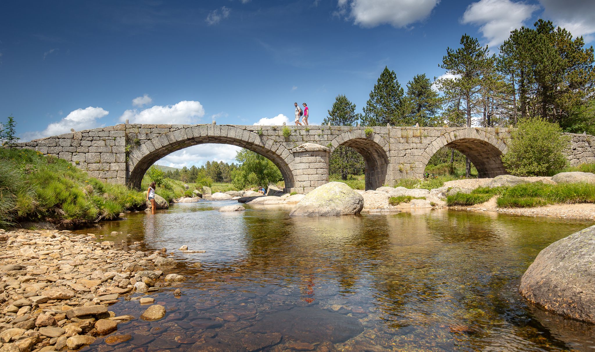
The most beautiful walks in Lozère
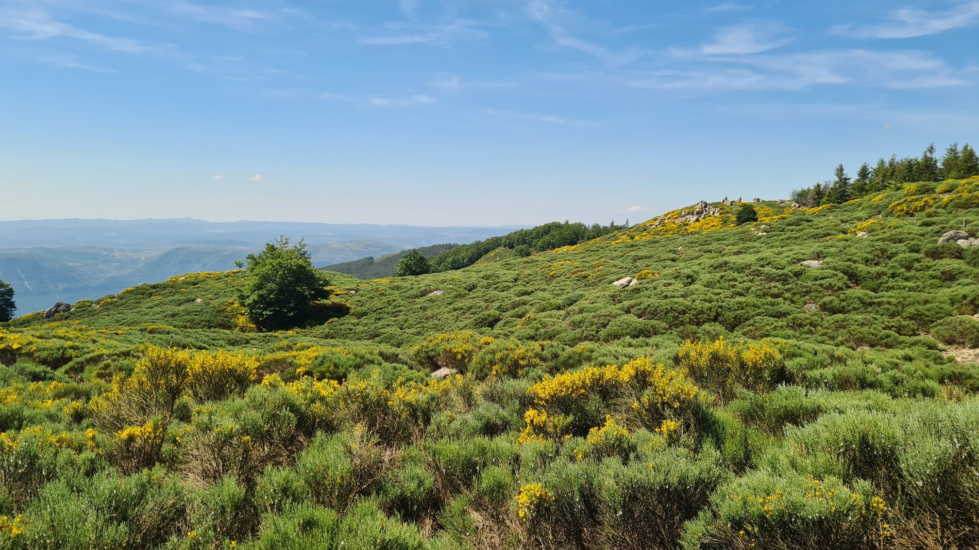
From L'Espérou to Lodève - Explore the Cevennes on the GR 71
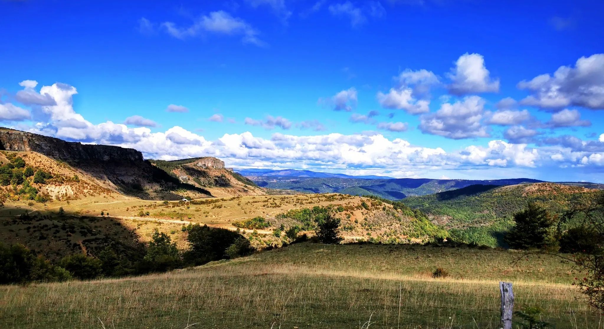
Crossing the Cévennes – a mountain bike trip in the heart of nature
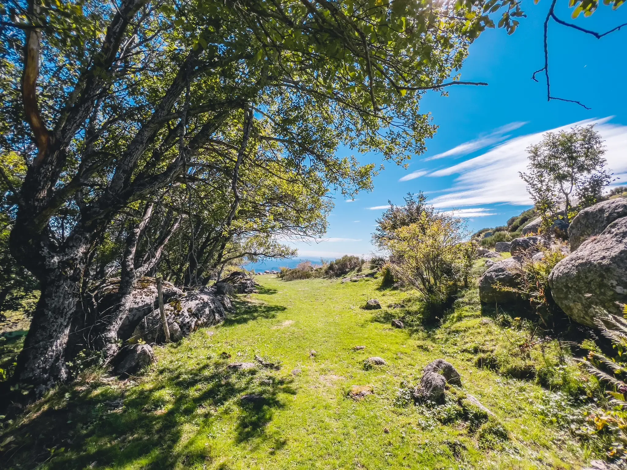
UNESCO landscapes and unique biodiversity – around Mont Lozère
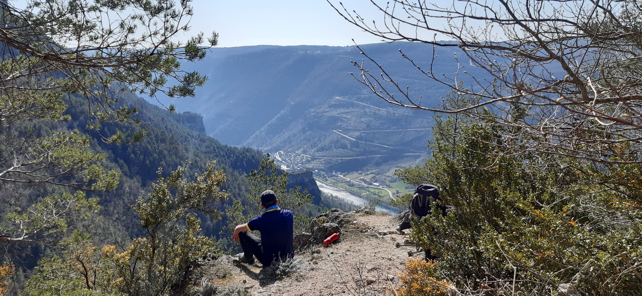
Walking to the rhythm of the Causses — The GRP Tour du Causse Méjean
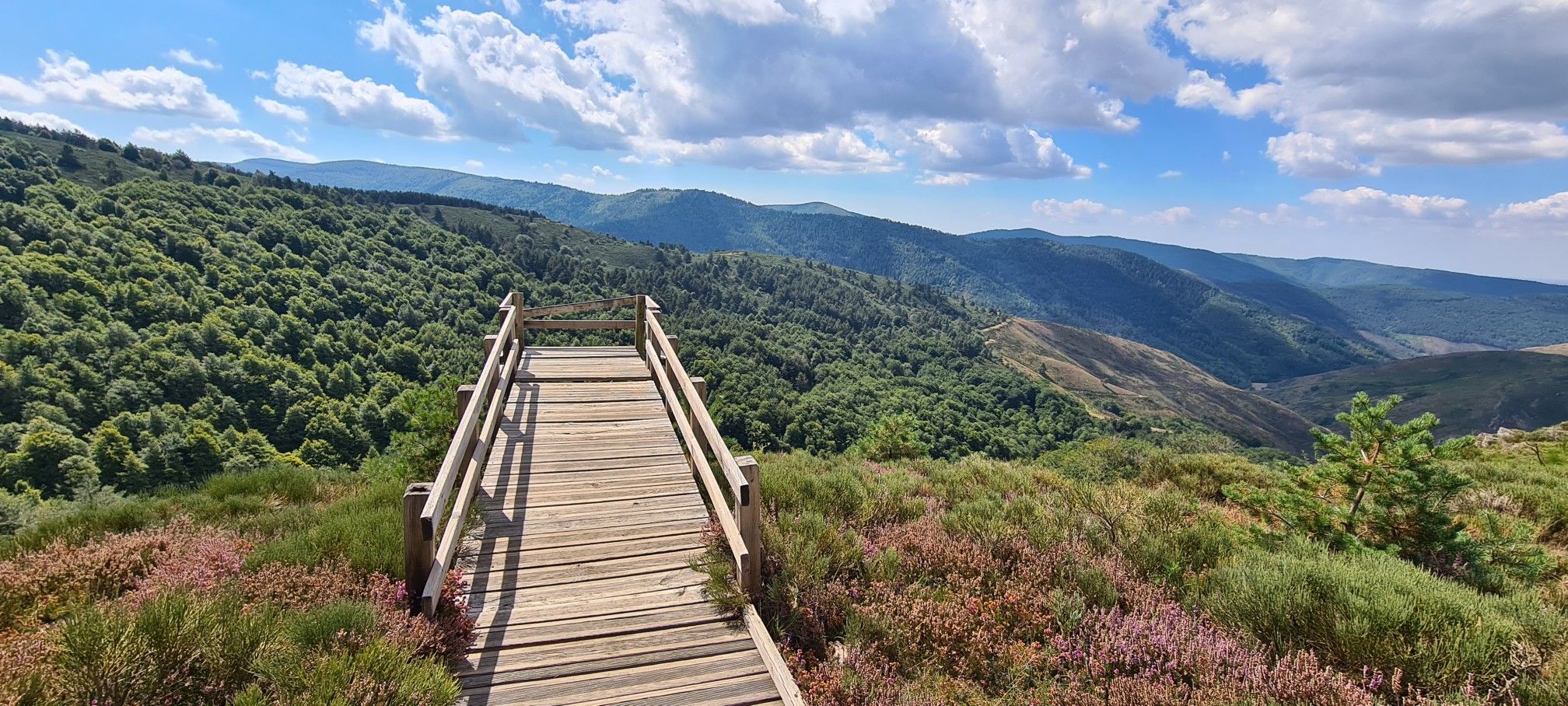
Hike and wild camp in the Cevennes — a Tour of Mount Aigoual (GR 66)
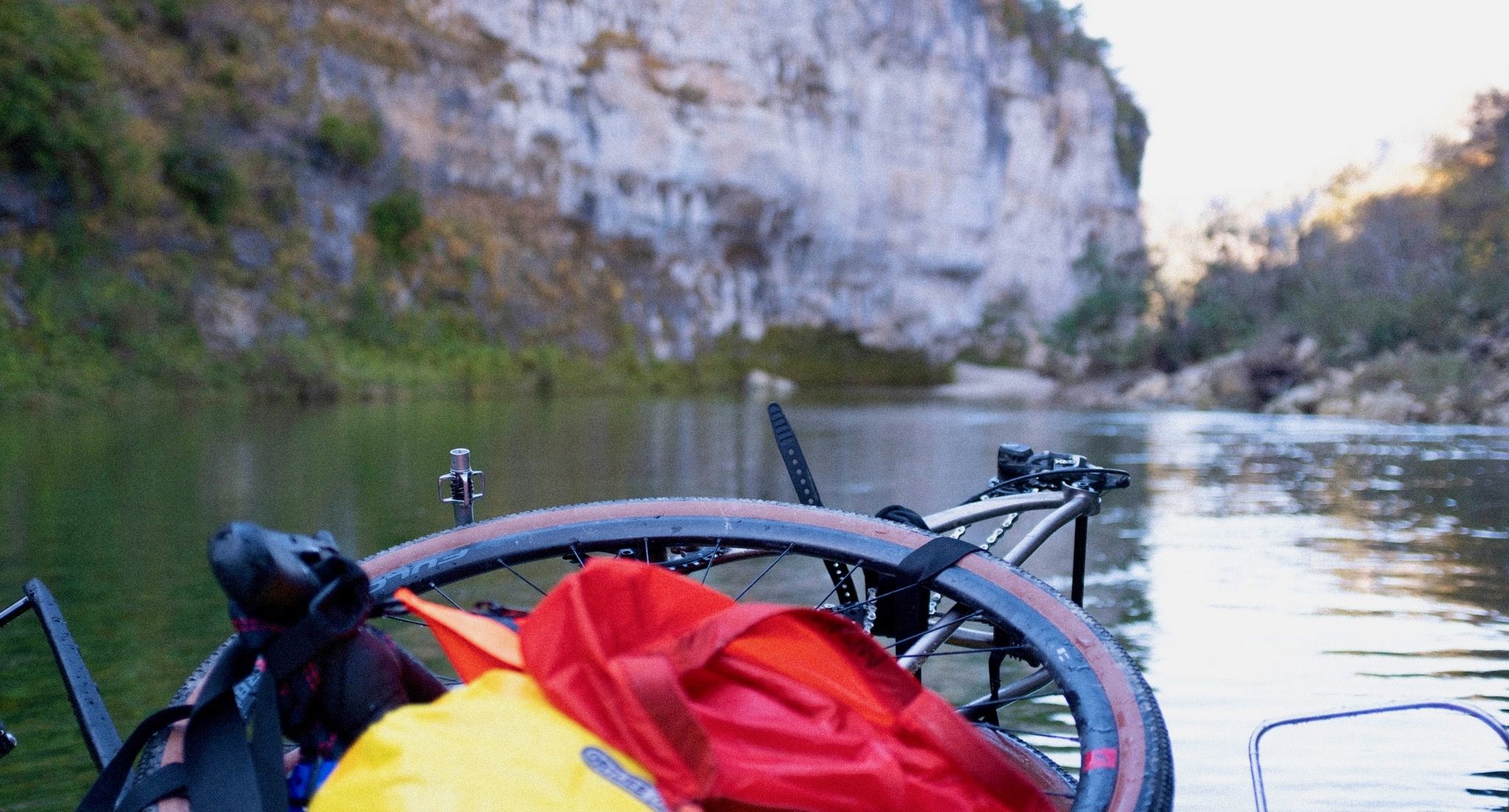
Heavenly Cévennes – Bikerafting in the Gorges du Tarn in France
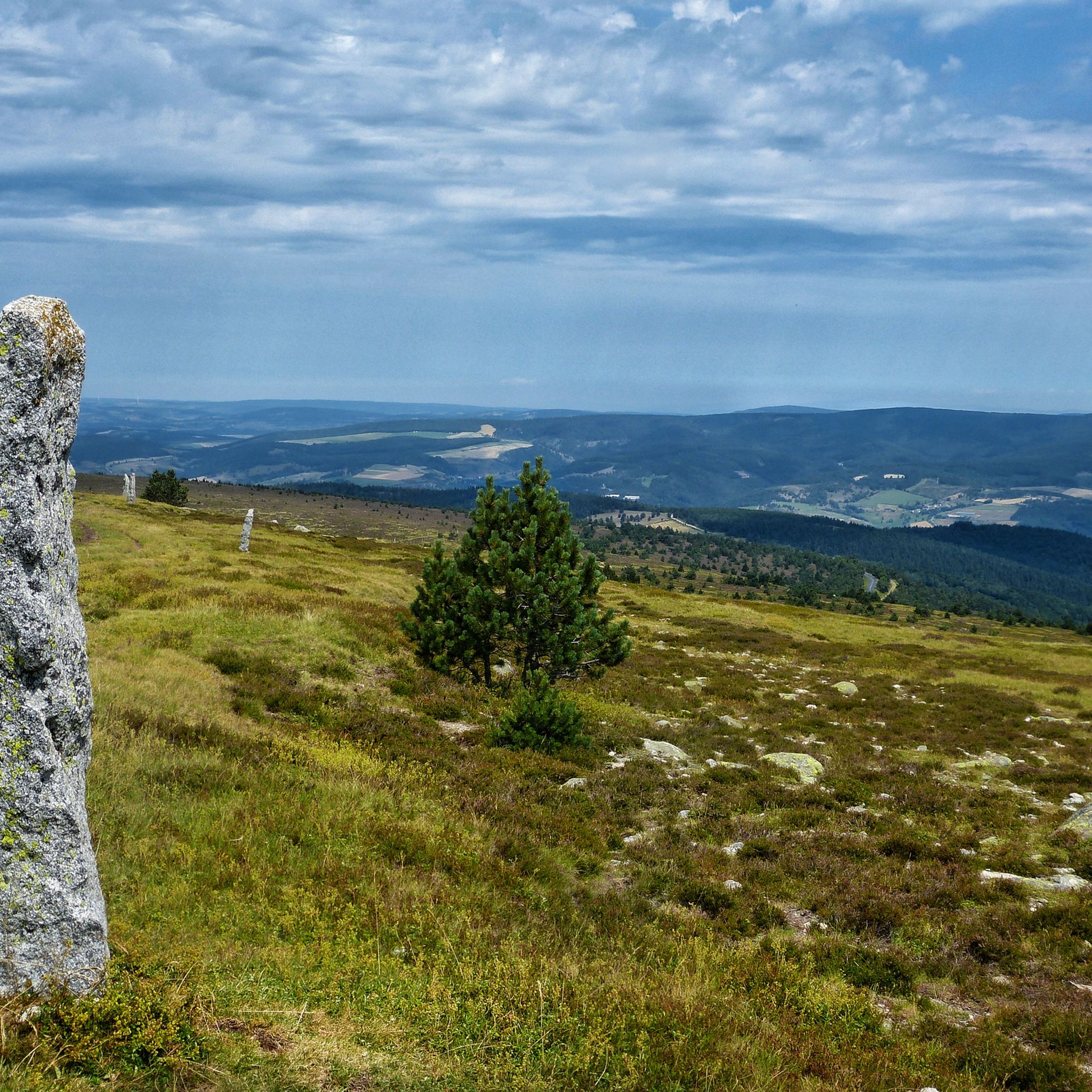
Hiking around Parc national des Cévennes (cœur)
Other adventures around Parc national des Cévennes (cœur)


Tips from the Community


Wonderful mountain with a wonderful view. We stayed there on our long-distance hike from Tarifa (Spain) to Switzerland and can highly recommend the camp.
4
0

Very nice place to contemplate the surrounding landscapes in favorable weather conditions. Presence of a bar/restaurant and a panoramic table at height.
2
0


Mont Aigoual is the second highest peak in the Cévennes after Mont Lozère. Renowned for its meteorological observatory, it offers breathtaking panoramic views. It’s a popular place for mountain bikers!
2
0

Pic Cassini, with its 1,681 meters of altitude, is the second summit of Mont Lozère. Its name is a tribute to the Cassini family of scientists who, in four generations and thanks to triangulation, established in 1744 the first precise map of the kingdom of France: the first Cassini map. The summit, then named Belle Coste summit, served (among other French summits) as a geodesic point. The triangle-shaped structure is also reminiscent of the pyramidal observation structures used by cartographers.
3
0
With its 1,699m, the summit of Finiels is the highest point in Lozère and all the Cévennes. Its geographical location allows you to observe the entire south of the Massif Central.
3
0
Frequently Asked Questions
What are the most prominent mountain peaks to visit in the Parc national des Cévennes (cœur)?
The most prominent peaks are Mont Lozère, which includes the highest point, Finiels Summit (1,699 meters), and Mont Aigoual (Mount Aigoual) at 1,567 meters. Both offer exceptional panoramic views and unique features.
What kind of panoramic views can I expect from the peaks in Parc national des Cévennes (cœur)?
From Finiels Summit, you can enjoy 360-degree views that, on clear days, can stretch to the Mediterranean Sea, the Alps, and the Pyrenees. Mount Aigoual also offers a vast panorama over a quarter of France, including the Cévennes, the Causses, and distant views of the Alps and the Mediterranean.
Are there challenging hiking trails to the summits in the Cévennes National Park?
Yes, for a challenging experience, consider The 4000 Steps trail. This 9.5 km path with a 1200 m elevation gain leads from Valleraugue to the observatory of Mont Aigoual. It's historically a postman's path and is bordered by stone terraces.
What unique natural features can I discover on Mont Lozère?
Mont Lozère is known for its wild and unspoilt granite massif, high plateaus, and vast grasslands. You'll find unique ecosystems including moorlands, granite boulder fields forming curious 'chaos,' and wetlands with specialized flora like beaksedge and carnivorous plants.
What is the significance of Mont Aigoual's meteorological observatory?
The summit of Mount Aigoual hosts a historic meteorological observatory, built in 1887. It was the last inhabited mountain weather station in France and now serves as 'The Climatograph,' France's first Climate Change Interpretation and Awareness Centre, offering exhibitions on meteorology and the massif's history.
What historical and cultural insights can I gain from visiting the mountain peaks region?
The landscapes of Mont Lozère are marked by thousand-year-old herding practices, visible in shepherd trails, farming terraces (bancels), and irrigation ditches (béals). Pic Cassini, the second summit of Mont Lozère, is named after the Cassini family of scientists who created France's first precise map, using this summit as a geodesic point.
What outdoor activities are available near the mountain peaks of Parc national des Cévennes (cœur)?
The region offers a wide range of activities. You can find numerous hiking trails, including routes like 'Pic Cassini and the sources of the Tarn.' There are also mountain biking trails and running routes. In winter, Mont Lozère offers cross-country and alpine skiing, luge, and snowshoeing.
What is the best time of year to visit the mountain peaks in Parc national des Cévennes (cœur)?
The region is a year-round destination. Mont Aigoual can be an 'oasis of freshness' in summer, while Mont Lozère transforms into a winter sports destination with opportunities for skiing and snowshoeing. Be aware that Mont Aigoual is known for its extreme weather conditions, including significant rainfall and strong winds, which can occur at any time of year.
Are there any amenities or facilities at the summits?
At Mount Aigoual, you'll find the meteorological observatory, which now houses 'The Climatograph' interpretation center, along with a snack bar and refreshment bar. Finiels Summit has orientation tables to help identify landmarks.
What are some less crowded mountain peaks or viewpoints in the region?
While Finiels Summit and Mount Aigoual are popular, other peaks like Pic Cassini (the second summit of Mont Lozère) and Signal du Bougès offer beautiful panoramas and might be less frequented, providing a more tranquil experience.
What should I be aware of regarding weather conditions when hiking in the Cévennes mountains?
Mont Aigoual, in particular, is known as the 'Stormy Mountain' and is the wettest place in France due to the convergence of Atlantic and Mediterranean air currents. Be prepared for sudden temperature changes, strong winds, and significant rainfall. Always check the weather forecast before heading out, especially for higher elevations.
Most popular routes around Parc national des Cévennes (cœur)
Most popular attractions around Parc national des Cévennes (cœur)

Get inspired with the komoot mobile app


