The best traffic-free bike rides around Bütgenbacher Lake
4.8
(56)
726
riders
62
rides
Gravel biking around Bütgenbacher Lake offers diverse landscapes, from expansive forests and verdant pastureland to unique fens and hedgerow-lined areas. The region is characterized by its varied terrain, including challenging climbs and scenic trails, with the artificial lake and its dam forming a central feature. Riders can explore routes that traverse woods, open fields, and moorland, providing a mix of surfaces suitable for gravel bikes. The area also features sections of the RAVeL network, offering flat, traffic-free paths often following…
Last updated: July 12, 2026
5.0
(2)
5
riders
24.5km
01:39
280m
280m
Moderate gravel ride. Good fitness required. Mostly paved surfaces. Suitable for all skill levels.
2
riders
57.9km
03:51
800m
800m
Hard gravel ride. Very good fitness required. You may need to push your bike for some segments of this route.

Sign up for free
4.3
(6)
21
riders
47.8km
03:04
550m
560m
Hard gravel ride. Very good fitness required. Mostly paved surfaces. Suitable for all skill levels.
4
riders
41.1km
02:52
580m
580m
Hard gravel ride. Very good fitness required. Mostly paved surfaces. Suitable for all skill levels.
7
riders
52.9km
03:47
650m
650m
Hard gravel ride. Very good fitness required. Mostly paved surfaces. Suitable for all skill levels.
Get access to more routes and recommendations from other explorers.
Sign up for free
Already have an account?
Our route recommendations are based on thousands of hikes, rides, and runs completed by other people on komoot.
Start today with a free account
Your next adventure awaits.
Login or Signup
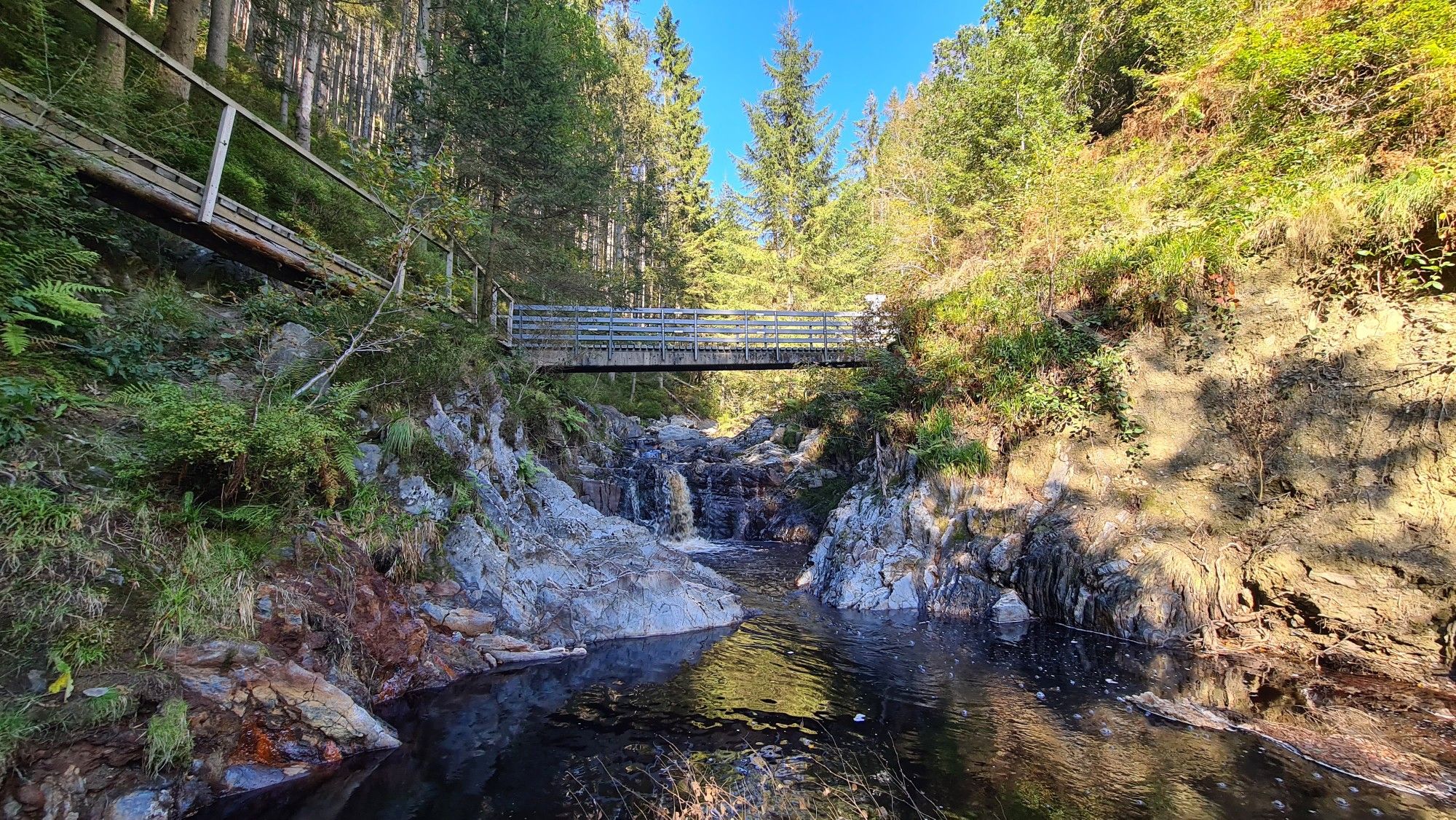

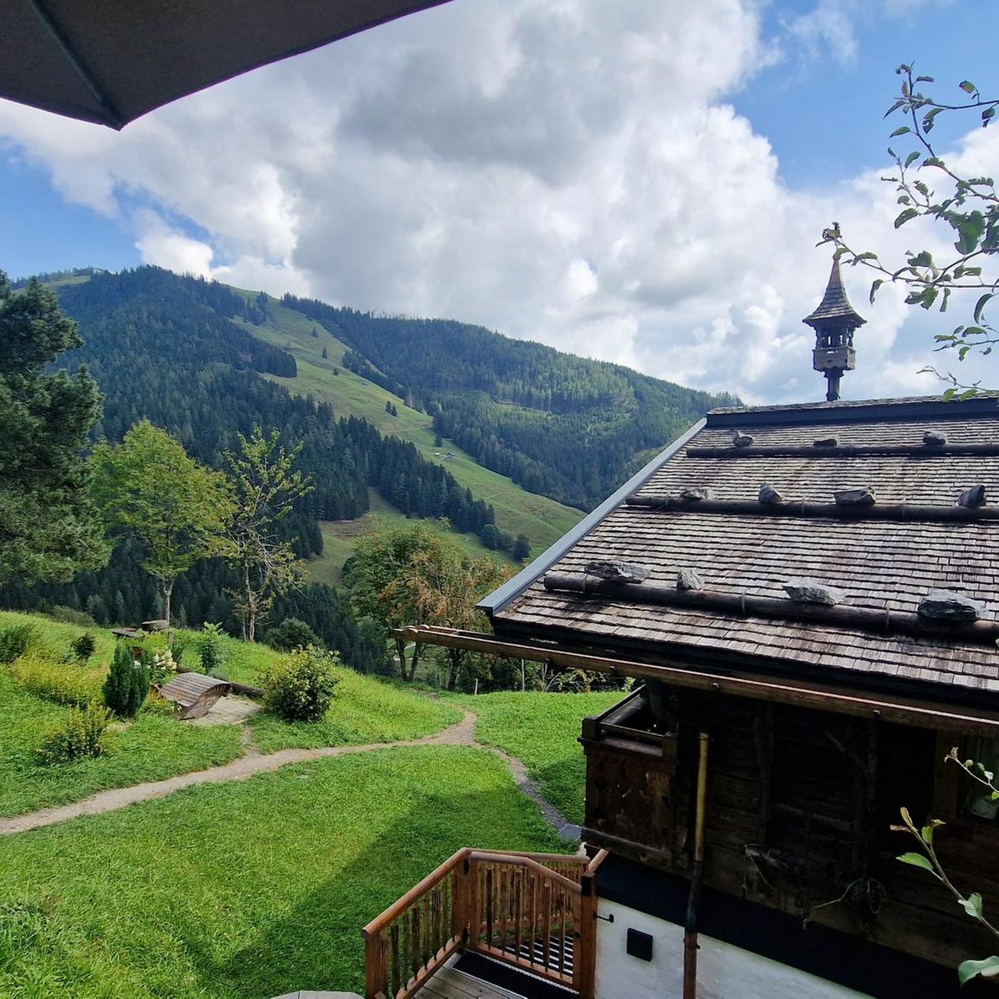
Other adventures around Bütgenbacher Lake

Tips from the Community

Interesting and also beautiful construction. It immediately catches the eye.
0
0
An overall beautiful lake with a great path to go around. Although in the summer with warm weather it can also be very busy. Via the adjacent Vennradweg it is also top to reach by bike.
0
0

Nice place for a short break.
1
0
From here you have a beautiful view of the Bütgenbach Lake.
0
1

The Bütgenbach dam was built between 1929 and 1932. The main function of the dam is to regulate the course of the Warche river. This created the lake of Bütgenbach. It is a starting point for beautiful, popular hiking routes: for example, a 10-kilometer walk can be made around the lake.
15
0
The Bütgenbach dam was built between 1929 and 1932. The main function of the dam is to regulate the course of the Warche river. This created the lake of Bütgenbach. It is a starting point for beautiful, popular hiking routes: for example, a 10-kilometer walk can be made around the lake.
12
0

Dam construction period: 1954–1959 Height above valley floor: 54.6 m Crest length: 282 m Crest width: 5.7 m
0
0

The unique dam structure of the Oleftalsperre is very impressive from this height! Top!
0
0
Frequently Asked Questions
How many no-traffic gravel bike trails are available around Bütgenbacher Lake?
There are over 50 dedicated no-traffic gravel bike trails around Bütgenbacher Lake listed on komoot. These routes cater to various skill levels, from moderate to difficult, ensuring a suitable option for most gravel bikers.
What kind of terrain can I expect on the gravel bike trails near Bütgenbacher Lake?
The terrain around Bütgenbacher Lake is incredibly diverse. You'll encounter a mix of expansive forests, verdant pastureland, unique fens, and hedgerow-lined areas. Many routes utilize sections of the RAVeL network, which are flat, asphalted, and traffic-free, often following former railway lines. Expect some challenging climbs and scenic trails, especially when venturing towards the High Fens.
Are there any easy or family-friendly no-traffic gravel bike routes?
While many routes are rated moderate to difficult, the region does offer options suitable for families or those seeking an easier ride. The RAVeL paths, which are traffic-free and often follow former railway lines, provide flat and accessible sections. For a moderate, circular option around the lake, consider the Bütgenbach Dam – Bütgenbach Lake Circular Trail loop from Bütgenbach, which is just under 25 km with manageable elevation.
What are some notable natural features or landmarks I can see along the gravel trails?
You'll find several interesting natural features and landmarks. The Bütgenbach Reservoir itself is a central attraction. Many routes offer panoramic views, particularly near the Elsenborn windmills. You might also encounter the unique moorland scenery of the High Fens, located just 15 km away, or explore the Warche River valley, known for its oak forests and semi-arid meadows. Don't miss the Wooden Boardwalk Through the Bütgenbach Moor for a unique experience.
What do other gravel bikers enjoy most about the trails around Bütgenbacher Lake?
The area is highly rated by the komoot community, with an average score of 4.8 out of 5 stars. Reviewers often praise the diverse landscapes, the tranquility of the no-traffic routes, and the stunning panoramic views, especially those overlooking the lake and the surrounding forests and fens. The well-maintained gravel paths and the integration of the RAVeL network are also frequently highlighted.
Are there any longer or more challenging no-traffic gravel routes for experienced riders?
Absolutely. For experienced riders seeking a challenge, the region offers several difficult routes. The High Fens and Bütgenbach Lake Loop is an 81 km route with over 1000 meters of elevation gain, taking you through diverse landscapes including the unique High Fens. Another challenging option is the Lake Bütgenbach – Bütgenbach Reservoir loop from Bütgenbach, covering nearly 58 km with significant elevation.
Can I find circular gravel routes around Bütgenbacher Lake?
Yes, many of the gravel routes around Bütgenbacher Lake are designed as circular loops, allowing you to start and end at the same point. For instance, the Bütgenbach Reservoir – Bütgenbach Lake loop from Bütgenbach is a challenging 41 km circular route that offers extensive exploration of the area.
What is the best time of year for gravel biking around Bütgenbacher Lake?
The region is beautiful year-round, but spring and autumn are particularly popular for gravel biking. In spring, you can witness thousands of wild daffodils blooming in areas like the Mausheck nature reserve. Autumn offers stunning foliage. Summer is also great, especially if you plan to combine your ride with water sports at the lake. Always check local weather conditions before heading out, as the High Fens area can experience varied weather.
Are there options for parking and public transport access to the trails?
Parking is generally available in and around the village of Bütgenbach, especially near the lake and the Worriken Sports and Leisure Centre, which serves as a common starting point for many activities. While public transport options might be more limited, local bus services connect some villages. It's advisable to check specific routes and schedules if relying on public transport.
Are there any cafes or refreshment stops along the no-traffic gravel bike trails?
While many trails venture into natural, secluded areas, you'll find cafes and restaurants in the main village of Bütgenbach and potentially in other smaller villages along longer routes. It's always a good idea to carry sufficient water and snacks, especially on longer or more remote sections, as dedicated refreshment stops directly on the trail might be infrequent.
What is the average duration for a gravel bike ride around Bütgenbacher Lake?
The duration varies significantly based on the route's distance and difficulty, as well as your personal pace. For example, a moderate 25 km loop like the Bütgenbach Dam – Bütgenbach Lake Circular Trail might take around 1.5 to 2 hours. More challenging routes, such as the 47 km View of the Olef Reservoir – Olef Reservoir loop from Wirtzfeld, could take 3 to 4 hours, while the longest routes can easily be half-day or full-day adventures.
Most popular routes around Bütgenbacher Lake
Most popular attractions around Bütgenbacher Lake

Get inspired with the komoot mobile app


Explore more
Browse the best Gravel rides in other regions.
