The best traffic-free bike rides around Weißensee
4.4
(112)
3,987
riders
9
rides
No traffic road cycling routes around Weißensee are set within a pristine alpine landscape in Carinthia, Austria, at an altitude of 930 meters. The region is characterized by the crystal-clear waters of Lake Weißensee, surrounded by the majestic Carnic and Gailtal Alps, with peaks exceeding 2,000 meters. Cyclists navigate well-paved routes through diverse fir and larch forests, as well as flower-filled alpine meadows, offering varied terrain from gentle lakeside paths to challenging mountain ascents. This Natura 2000 protected area ensures…
Last updated: July 12, 2026
12
riders
60.7km
03:44
1,610m
1,610m
Hard road ride. Very good fitness required. Mostly well-paved surfaces and easy to ride.
16
riders
Moderate road ride. Good fitness required. Mostly well-paved surfaces and easy to ride.

Sign up for free
5.0
(1)
84
riders
Hard road ride. Very good fitness required. Mostly well-paved surfaces and easy to ride.
56
riders
Hard road ride. Very good fitness required. Some segments of this route may be unpaved and difficult to ride.
3.0
(2)
57
riders
Moderate road ride. Good fitness required. Mostly well-paved surfaces and easy to ride.
Get access to more routes and recommendations from other explorers.
Sign up for free
Already have an account?
Our route recommendations are based on thousands of hikes, rides, and runs completed by other people on komoot.
Start today with a free account
Your next adventure awaits.
Login or Signup
Popular around Weißensee
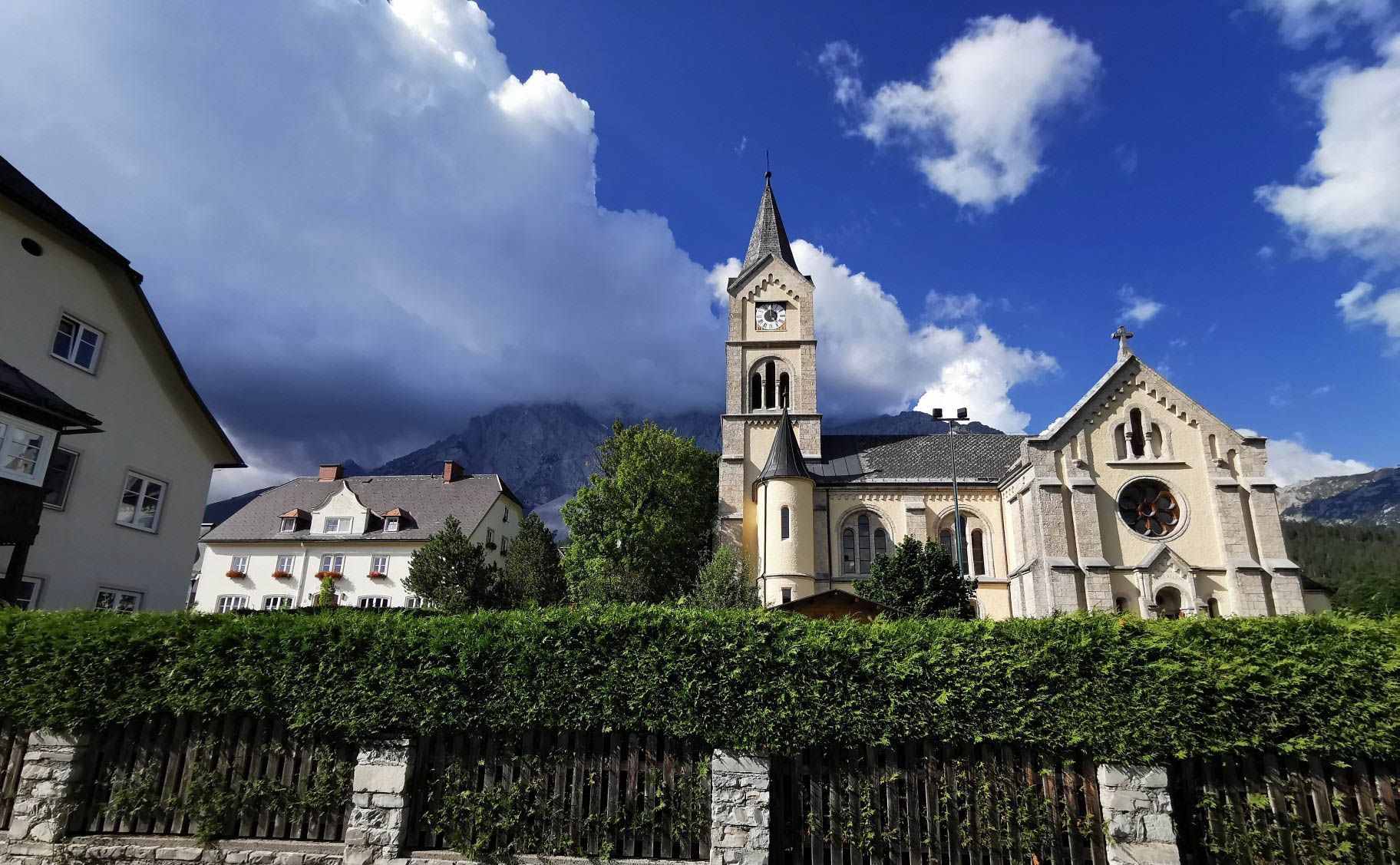
Way of the Book – Hike in the footsteps of the Bible smugglers in Austria
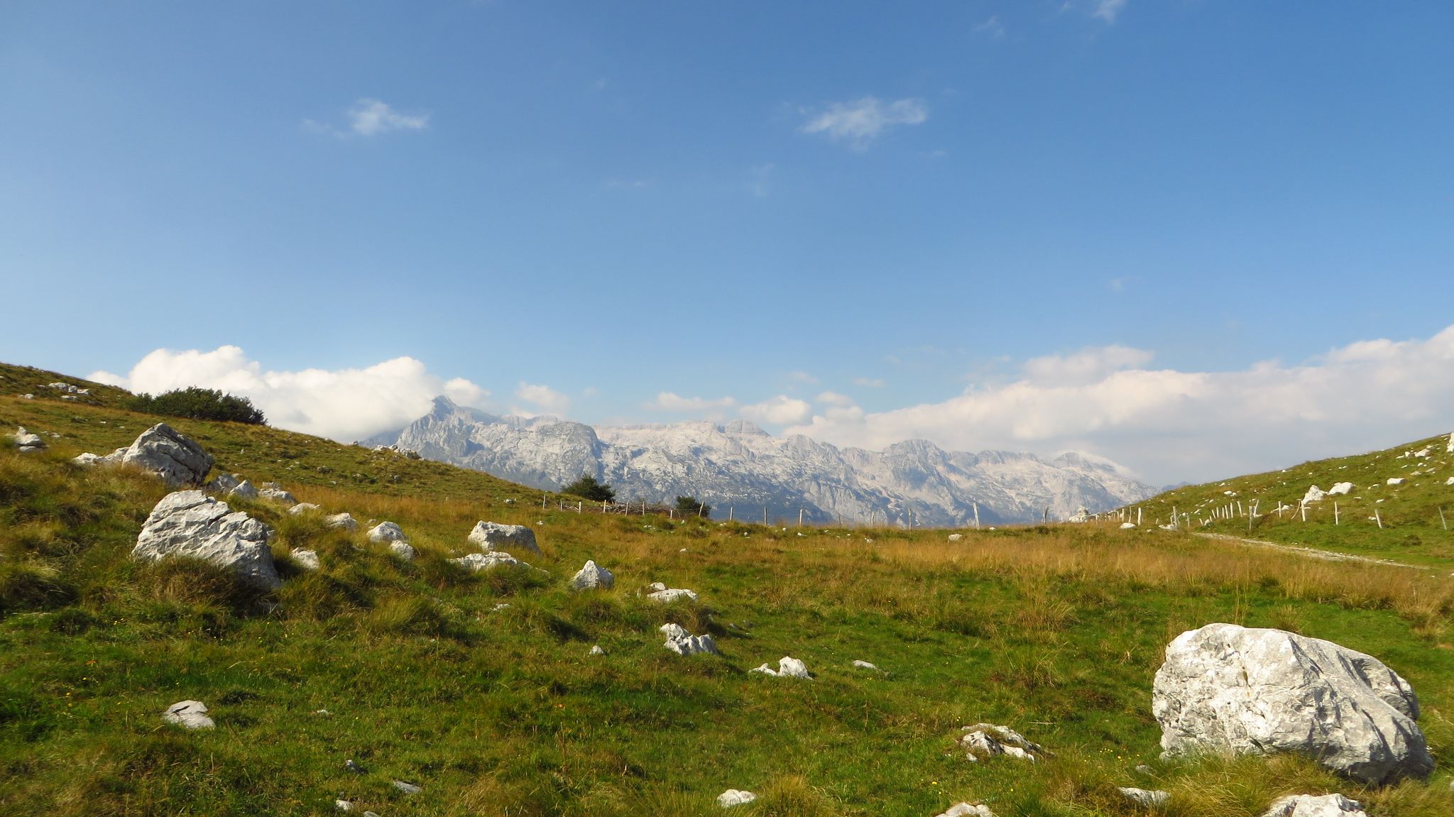
Alpe Adria – MTB Transalp through Slovenia to the Mediterranean Sea
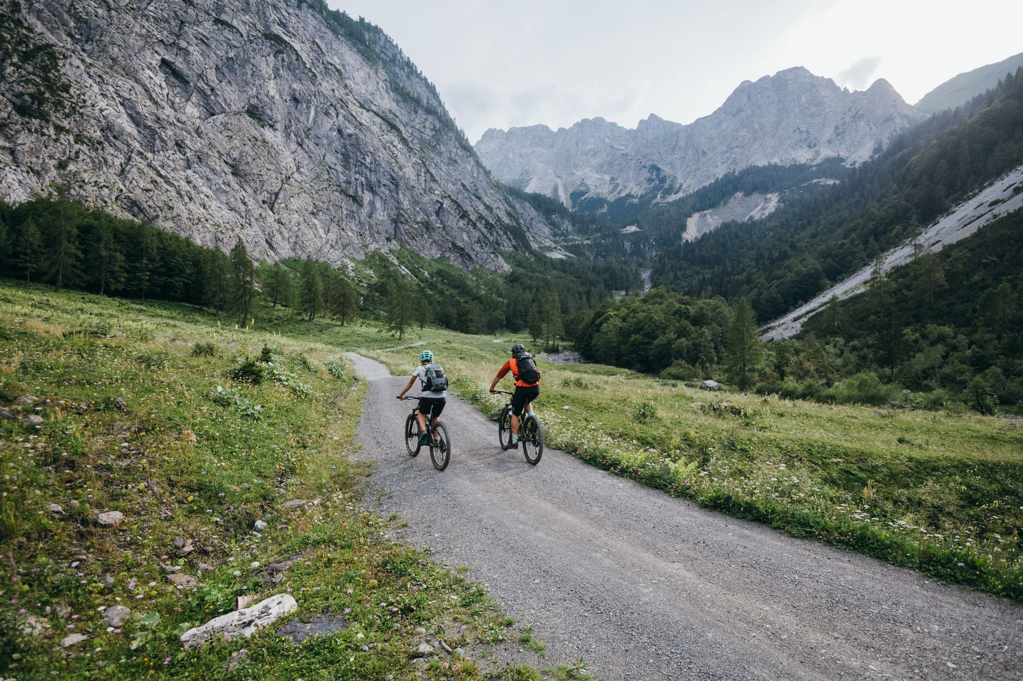
Limitless MTB fun between mountains, lakes and trails
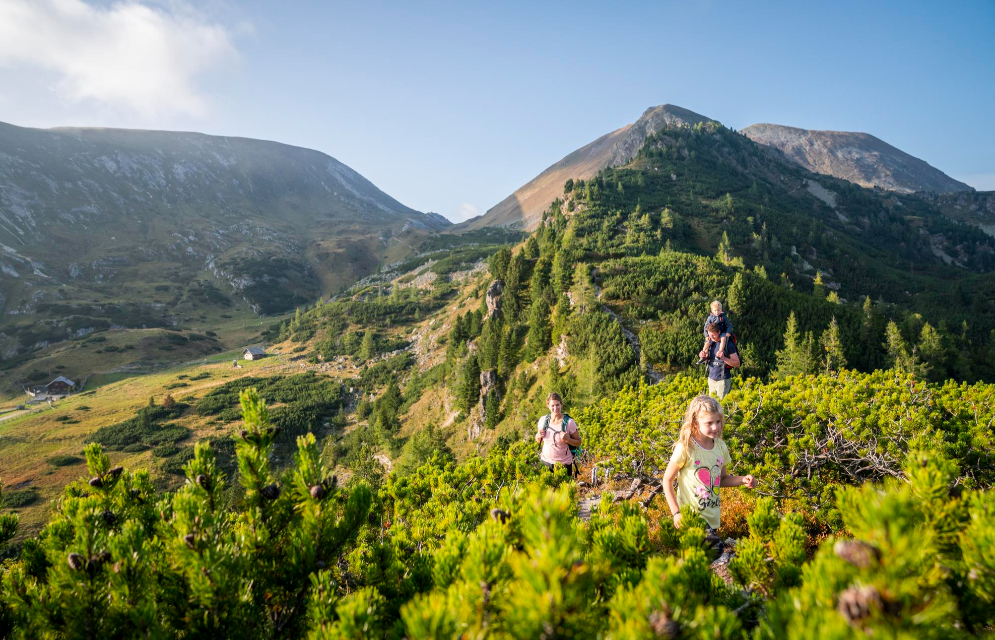
Joyous adventures experienced together – family hiking in Carinthia
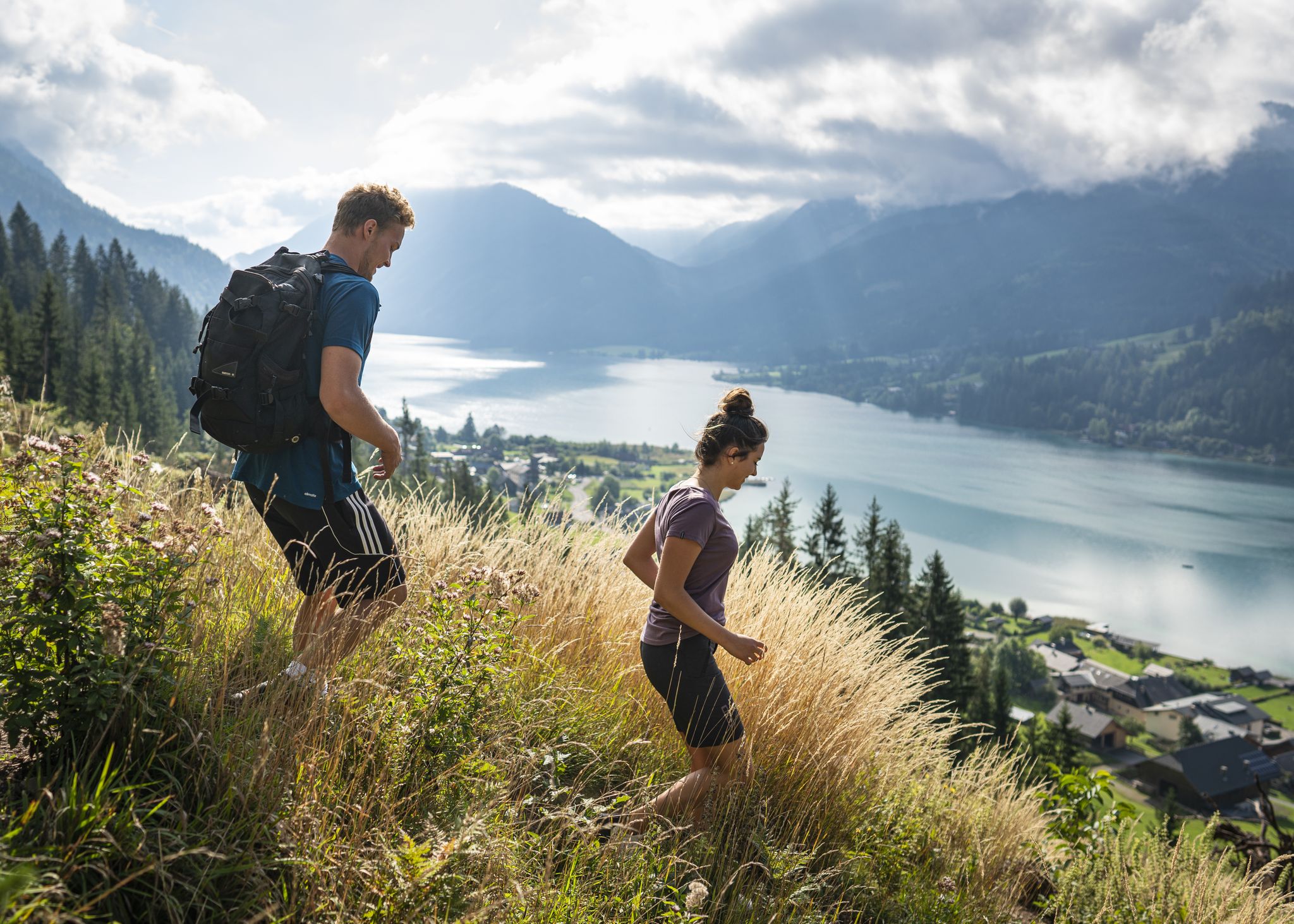
Hikeworld Weissensee – panoramic hiking in Carinthia
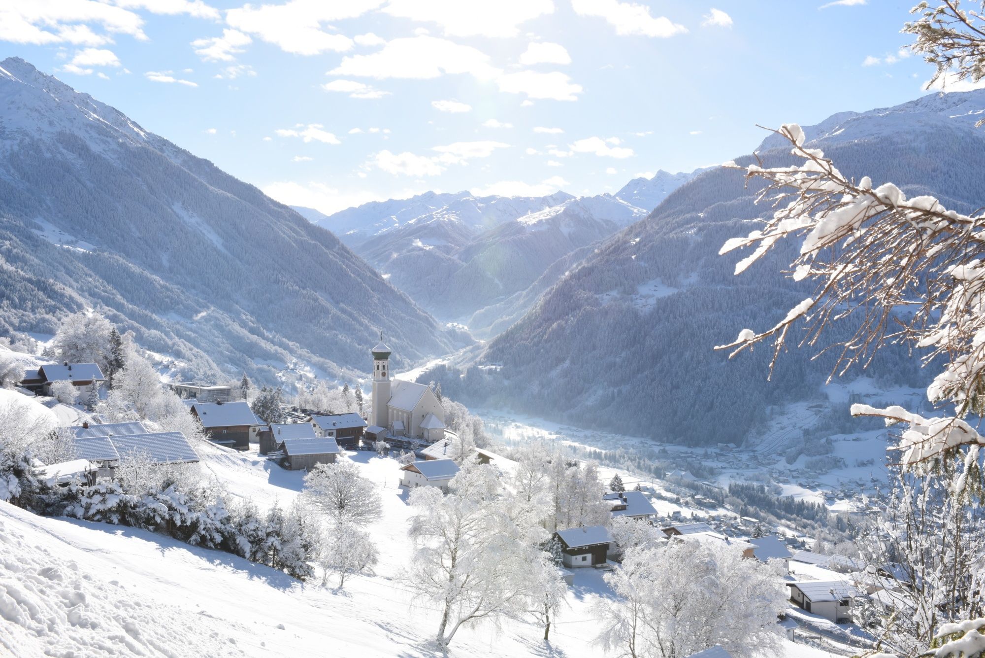
Tobogganing, ice bathing and hiking – winter away from the slopes
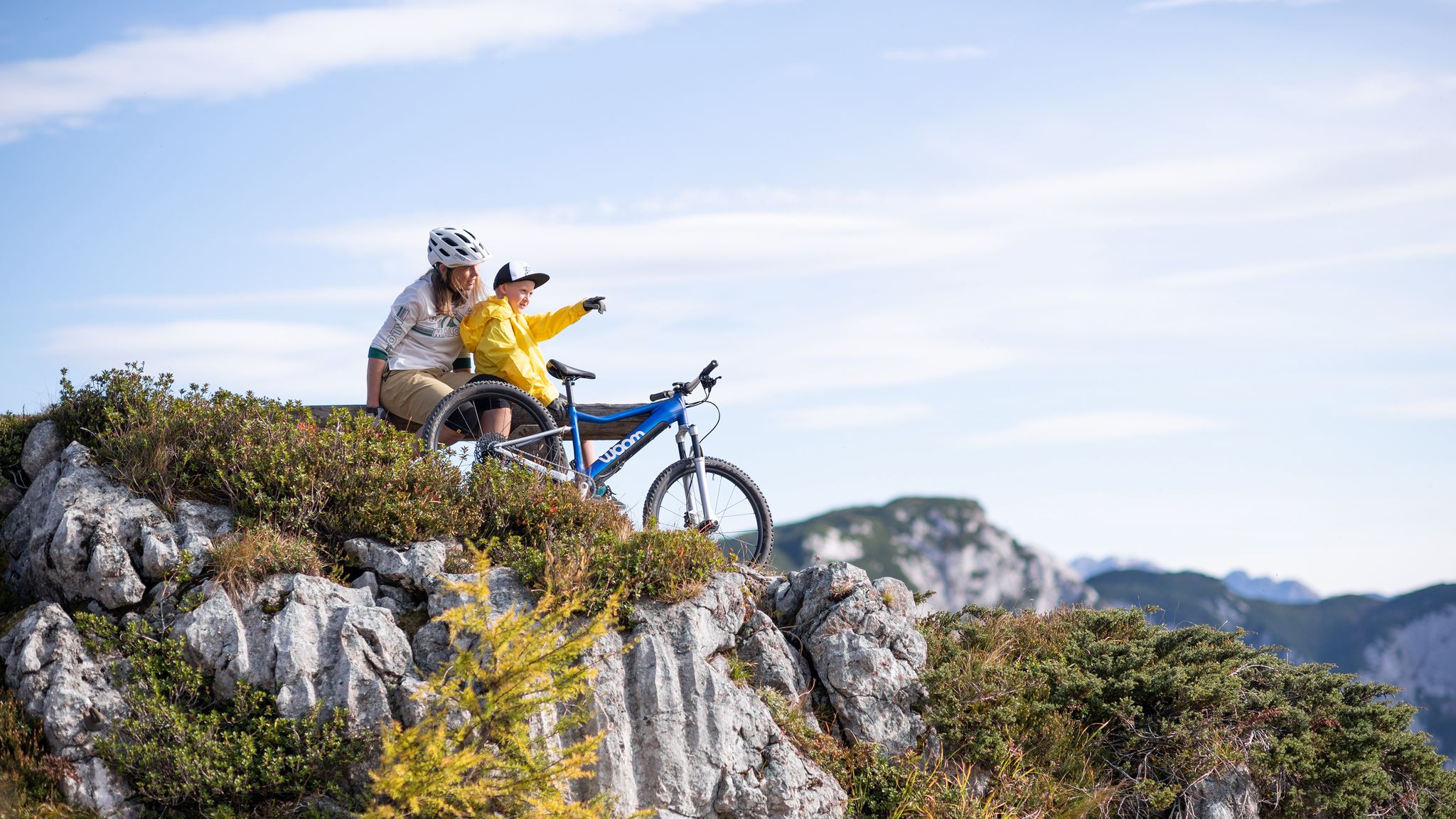
Discover Austria’s most beautiful family cycle paths with woom
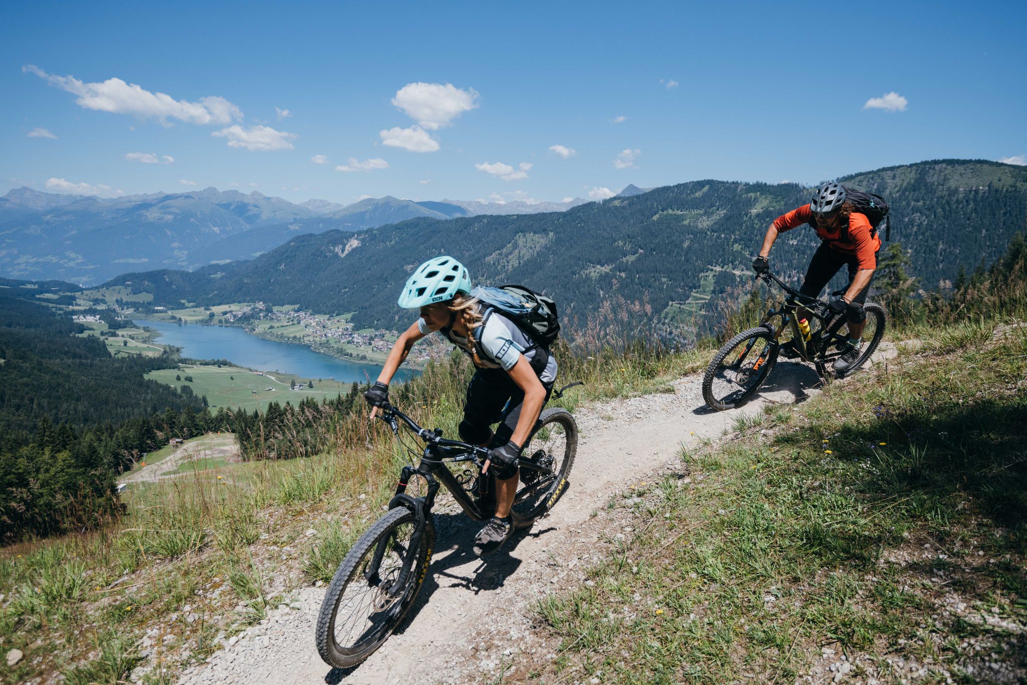
Enjoy the summer – MTB at Lake Weissensee
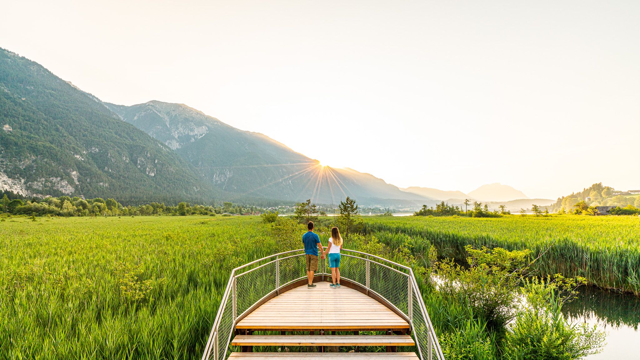
Relaxed hiking — discover the Slow Trails in Carinthia
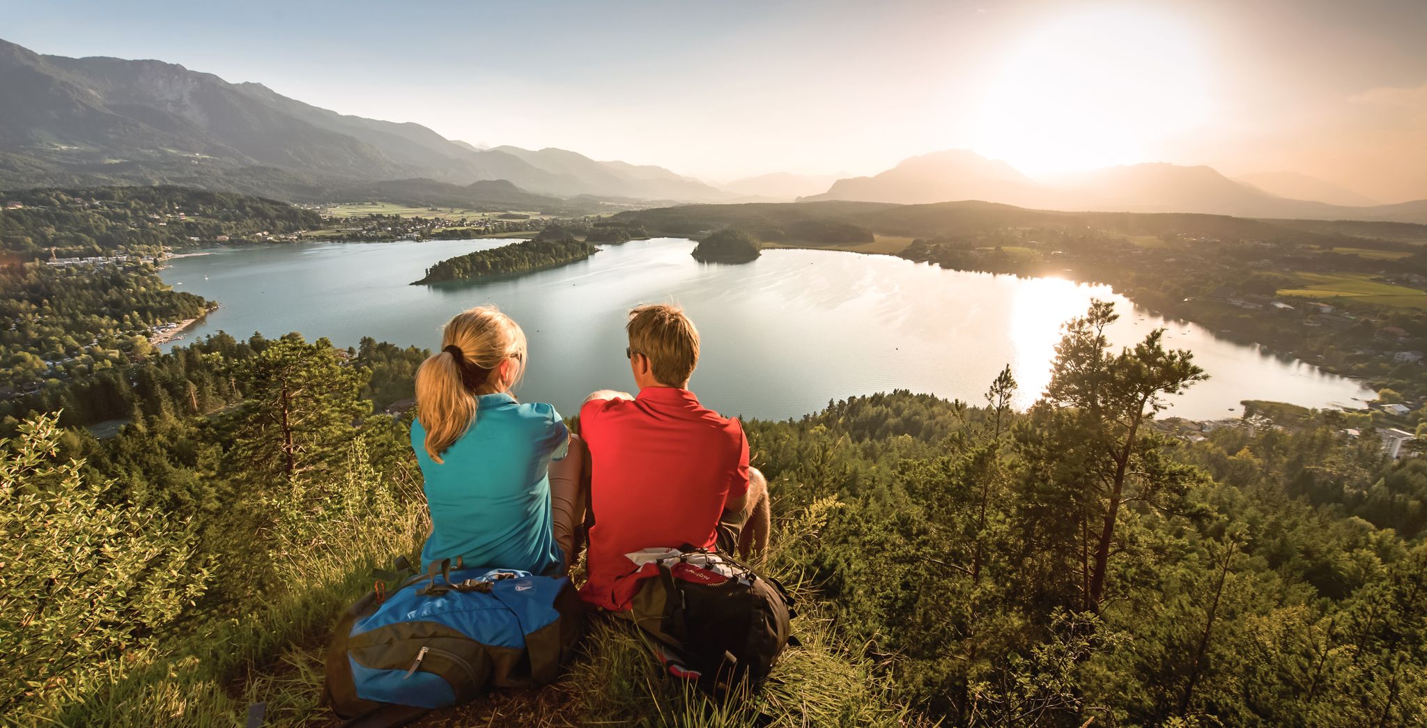
Panoramic hikes around the most beautiful lakes of Carinthia
Other adventures around Weißensee


Tips from the Community


…a promising and relaxed route!
1
0


The fact that I had this natural spectacle all to myself impressed me very much
1
0

A beautiful hike until the end of Part 3. Then, return via the forest road via Urbani Chapel. A total of approximately 10 km, approximately 3.5 hours.
0
0

At this point you are spoilt for choice ;-) Eggeralm difficult, R3 up nice, R3 down also nice, R3a up nice, R3a down also nice, Gailtaler Heimat Museum or Klammwirt, hut or Hermagor for a coffee.......
0
0
The lakeside path is about 5 km long and easy to walk.
1
0

Now in October the gorge is not crowded at all, we were almost alone. However, it is also quite adventurous and slippery... sturdy shoes are absolutely necessary
0
2
Frequently Asked Questions
How many no-traffic road cycling routes are available around Weißensee?
There are 10 dedicated no-traffic road cycling routes around Weißensee. These include 1 easy, 4 moderate, and 5 difficult routes, ensuring options for various fitness levels and preferences.
What kind of terrain and elevation can I expect on these routes?
The routes around Weißensee offer a diverse range of terrain, from gentle lakeside paths to more challenging ascents into the surrounding Carnic and Gailtal Alps. You can expect significant elevation gains on some routes, such as the Dolomitenblick Ferry Dock – Höllgrabenbach Waterfall loop, which features over 1600 meters of climbing, providing breathtaking panoramic views.
Are there any family-friendly no-traffic road cycling routes?
Yes, there are routes suitable for families. While specific 'easy' routes are available, many paths offer a relaxed pace through the picturesque landscape. The region's commitment to sustainable tourism means many areas are designed for a tranquil experience, perfect for cycling with children.
What natural features and viewpoints can I discover along the routes?
You'll encounter stunning natural beauty, including the pristine, turquoise waters of Lake Weißensee itself, which is a Natura 2000 protected area. Routes often provide panoramic views of the surrounding Carnic and Gailtal Alps. Highlights like the Weissensee and the Dolomitenblick Pier offer exceptional photo opportunities and places to pause and enjoy the scenery.
Is it possible to cycle with dogs on these no-traffic routes?
Many of the no-traffic routes around Weißensee are suitable for cycling with dogs, provided they are well-behaved and kept on a leash where required. The region's natural environment offers plenty of opportunities for your canine companion to enjoy the outdoors alongside you. Always check local regulations for specific areas.
What is the best time of year for no-traffic road cycling in Weißensee?
The best time for road cycling in Weißensee is typically from spring through autumn. During summer, the lake's water temperature can reach up to 24°C, offering a refreshing dip after your ride. The mild temperatures and vibrant landscapes make these seasons ideal for exploring the region's car-free routes.
Are there any circular no-traffic road cycling routes?
Yes, several circular routes are available, allowing you to start and end your ride in the same location without retracing your steps. An example is the Waterfall near Bad Bleiberg – Höllgrabenbach Waterfall loop, offering a moderate challenge with beautiful scenery.
Where can I find parking or public transport options for accessing these routes?
Weißensee is committed to sustainable tourism, offering various options for accessing routes. While specific parking details for each route vary, you'll find designated parking areas in towns like Hermagor or near popular trailheads. Public transport, including local buses, can also help you reach starting points, often with bike transport options available. It's advisable to check local transport schedules in advance.
What do other cyclists enjoy most about road cycling in Weißensee?
The komoot community highly rates the road cycling experience in Weißensee, with an average score of 4.35 stars. Cyclists frequently praise the region's pristine natural environment, the crystal-clear lake, and the well-maintained, traffic-free paths that allow for a peaceful and immersive ride through the stunning alpine landscape.
Are there places to eat or stay along the no-traffic road cycling routes?
Weißensee offers a range of cafes, restaurants, and accommodation options catering to cyclists. You'll find charming guesthouses and eateries in villages around the lake and along some of the routes, perfect for a break or an overnight stay. The region's focus on local produce means you can enjoy authentic Carinthian cuisine.
What is the typical distance and duration of these no-traffic road cycling routes?
The routes vary significantly in length and duration. You can find shorter, moderate rides like the Möderndorf – Picnic Area on the Gail River loop, which is about 23 km and takes around 1 hour 40 minutes. Longer, more challenging tours, such as the Hermagor - Gail Cycle Path – Egger Alm loop, can extend to over 36 km with a duration of more than 2 hours.
Most popular routes around Weißensee
Most popular attractions around Weißensee

Get inspired with the komoot mobile app


Explore more
Browse the best Road cycling routes in other regions.
