The 15 Most Amazing Peaks around National Park Sierra Cazorla, Segura y Villas
Best mountain peaks around National Park Sierra Cazorla, Segura y Villas is the largest protected natural area in Spain, characterized by a rugged and diverse landscape. The park features peaks rising to over 2,000 meters, vast pine forests, and dramatic cliffs. This region is known for its unique ecosystems and serves as the source of two major Spanish rivers, the Guadalquivir and the Segura. It offers varied terrain for exploration and provides expansive views across its wilderness.
Best mountain peaks…
Last updated: July 15, 2026
Pico Gilillo
Highlight • Summit
Translated by Google •
Tip by

Puerto de las Palomas Viewpoint
Highlight • Viewpoint
Translated by Google •
Tip by

Sign up now to discover places like this
Get recommendations on the best single tracks, peaks, & plenty of other exciting outdoor places.
Sign up for free
El Yelmo Summit (1,808 m)
Highlight • Summit
Translated by Google •
Tip by

Peñalta de Benatae (1,412 m)
Highlight • Summit
The Peñalta peak is 1,412 meters high and is located between the towns of Orcera and Benata.
Translated by Google •
Tip by
Puntal de la Misa (1,796 m)
Highlight • Summit
Translated by Google •
Tip by

Sign up for free to discover even more peaks around National Park Sierra Cazorla, Segura y Villas.
Sign up for free
Already have an account?
Start today with a free account
Your next adventure awaits.
Login or Signup
Popular around National Park Sierra Cazorla, Segura y Villas
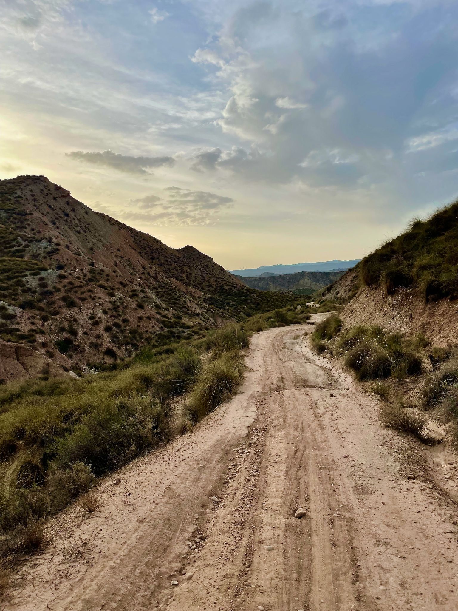
Badlands 2021 — 750km of gravel in the Spanish deserts

Bikepacking the mountains and deserts of Andalucía

12 hiking gems throughout Spain
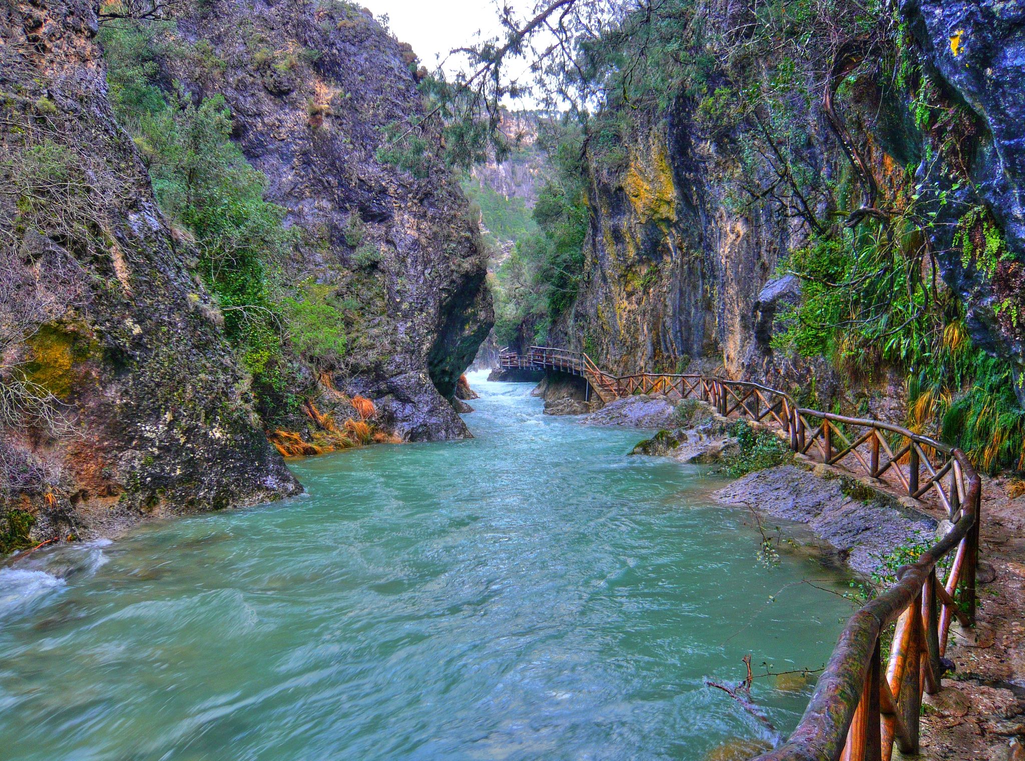
Through the Borosa Gorge to the highest peak of the Sierra de Segura
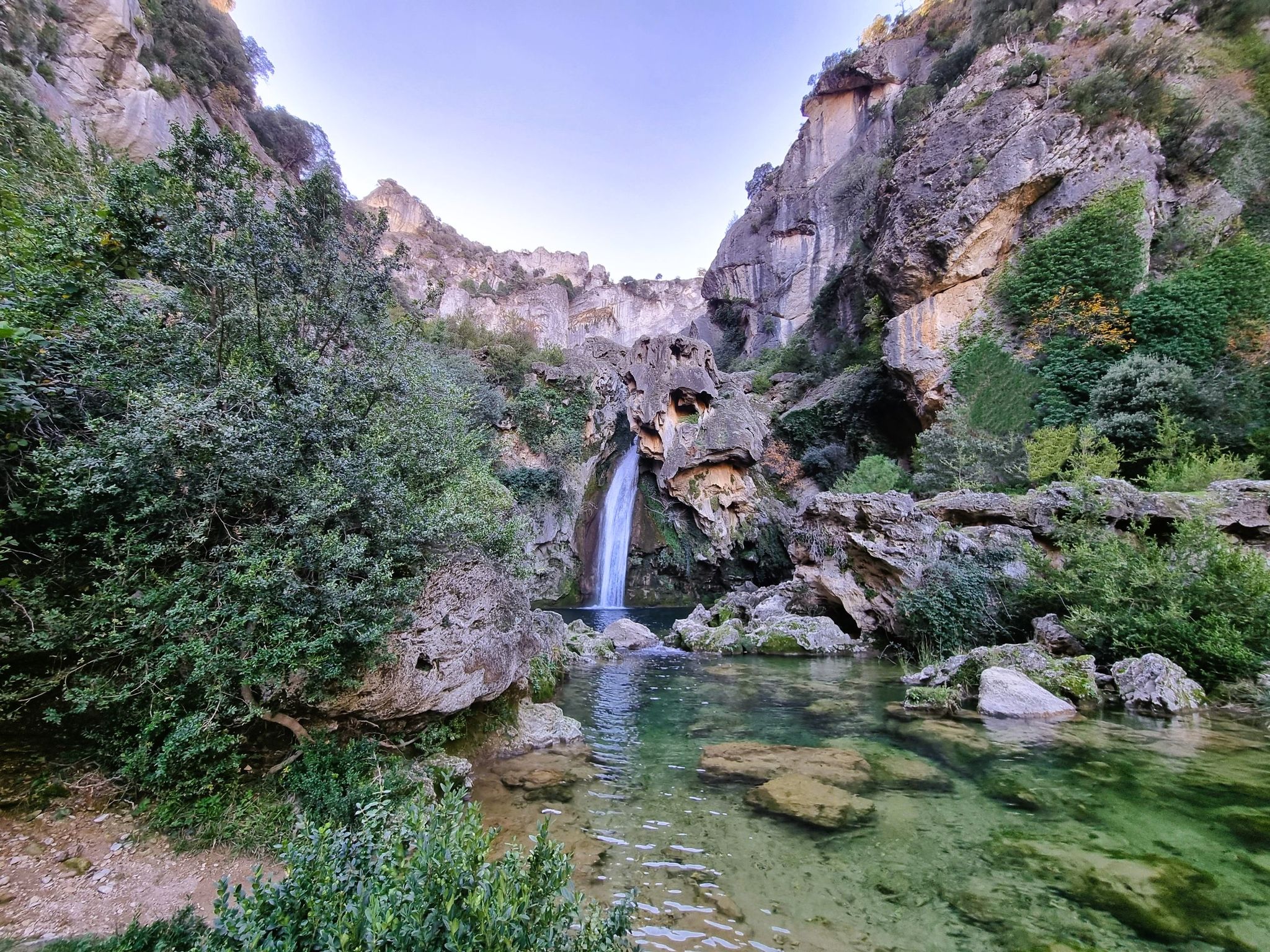
Jaén, inland paradise – three Tours from Cazorla
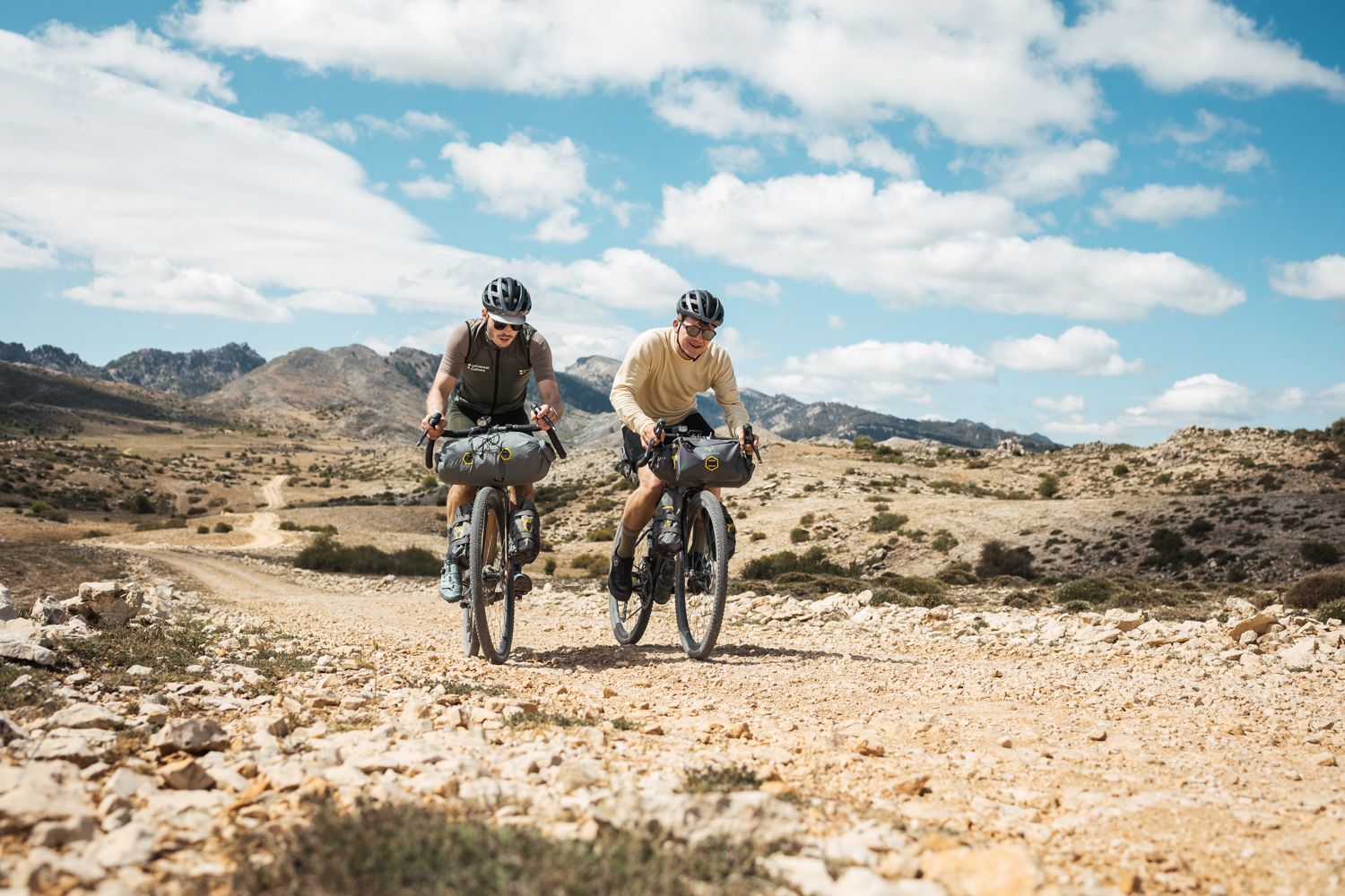
Bikepacking in Andalusia – Europe's gravel paradise
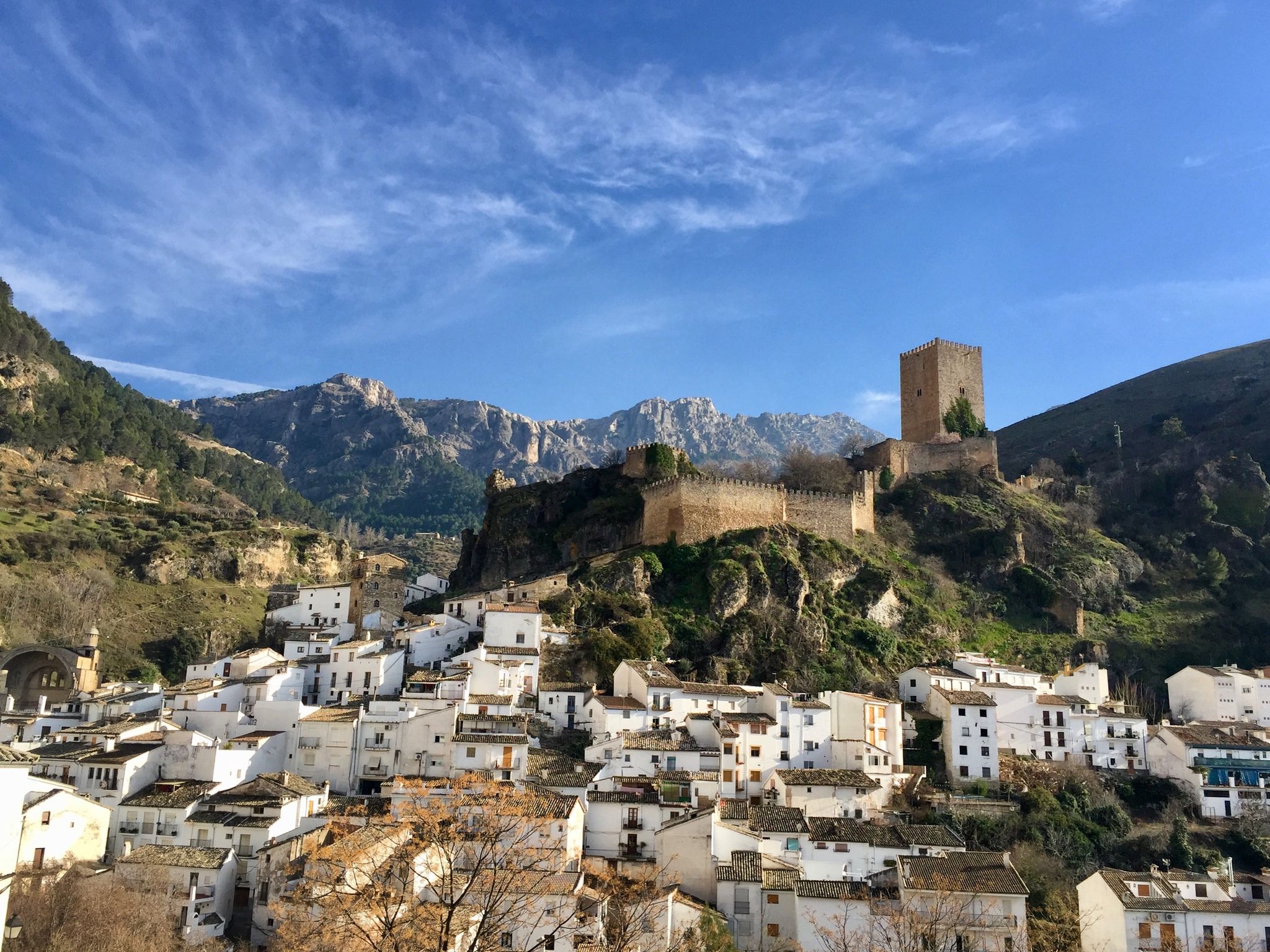
European Divide Trail across the Iberian Peninsula – central
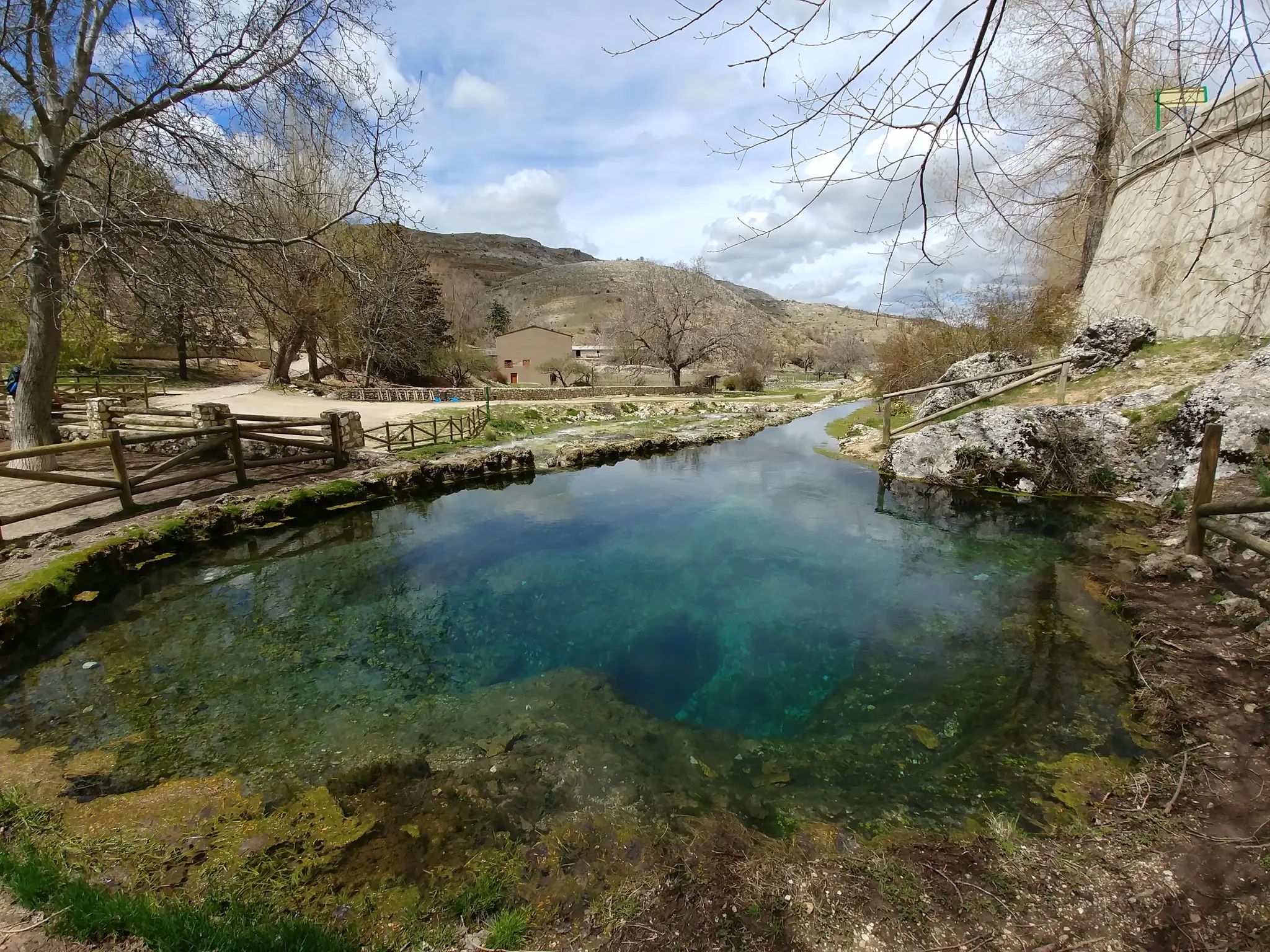
Transhumance in the Sierra de Segura – hiking the GR 144

Wild and free Andalusia – Transandalus through the interior
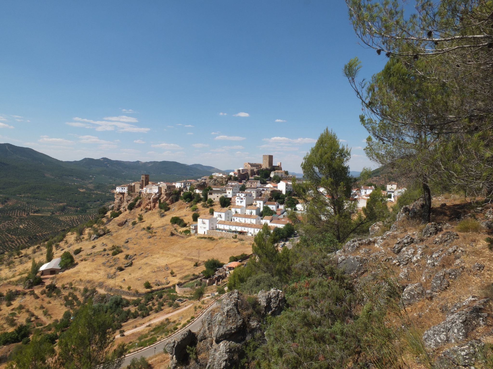
Mountains and olive groves in the Sierra de Segura – GR 146
Other adventures around National Park Sierra Cazorla, Segura y Villas


Tips from the Community

El Gilillo is a peak 1,847 meters high, where there is also a geodetic vertex, from which we can enjoy impressive panoramic views of the Sierra de Cazorla and Segura Natural Park. You can access it by bike or on foot, via a trail.
0
0

Gilillo Peak, at 1,848 meters above sea level, is the highest point in the Sierra de Cazorla and one of the most spectacular hiking trails in the Sierras de Cazorla, Segura, and Las Villas Natural Park. From Gilillo Peak, you can enjoy panoramic views in all directions: The Guadalquivir Valley. The countryside of Jaén. Impressive mountain range reliefs. On clear days, you can even see the Sierra Nevada.
4
0

This is the most characteristic point from which you can see the entire valley of the Guadalquivir River, and all the human settlements that currently exist such as Arroyo Frío, El Chaparral or Loma de María Ángela. It is located at an altitude of 1241 meters above sea level.
14
0
It is practically the gateway to the park. From there you can see the entire Guadalquivir valley.
0
0

Fabulous views. This enclave has a bad reputation among hikers for having a paved section and for being a place more popular for free flight than for other activities, but it still has a great diversity of possibilities.
2
0

Long climb leaving Cazrola. At 9.47 km long, it gains an elevation of 386 m with a good easy average grade of 4% to reach an elevation of 1,217 m.
1
0

Summit that with its 1,796 meters high offers impressive and wide views in all directions, highlighting the blue of the waters of the narrow reservoir of Las Anchuricas.
1
0

The port of Las Palomas is a mountain pass in the Sierra de Grazalema of Andalusia. Due to its orientation, it is especially prone to receiving snowfall. An incredible port to enjoy by bike.
1
0
Frequently Asked Questions
Which mountain peaks offer the most expansive panoramic views in the National Park Sierra Cazorla, Segura y Villas?
For truly expansive panoramic views, consider hiking to Pico Gilillo, which offers stunning 360-degree vistas, including the olive groves of Jaén province and, on clear days, even the distant Sierra Nevada. Another excellent option is Pico Empanadas, the highest peak in the entire natural park, providing sweeping views across the extensive wilderness.
Are there any mountain peaks known for unique natural features or ancient forests?
Yes, Pico Cabañas (2,028 meters) is particularly notable for its surrounding ancient Pinus Nigra groves. Some of these trees are nearly a thousand years old, making them among the oldest in Western Europe and contributing to the area's significant ecological interest.
What are some challenging mountain peaks for experienced hikers in the region?
Experienced hikers looking for a significant challenge will find Pico Empanadas (2,107 meters) rewarding, as it is the highest point in the natural park. Pico Gilillo also offers a medium-demanding circular route, typically taking 7-9 hours, providing a substantial hike with great rewards.
Are there any mountain peaks accessible by car or with easier access for visitors?
Yes, El Yelmo Summit (1,808 m) is uniquely accessible by car via a paved track. This makes it a popular spot for those seeking fabulous views without a strenuous hike, and it's also a favored location for paragliders.
What kind of wildlife can I expect to see around the mountain peaks?
The higher elevations of the park's peaks are a haven for rich biodiversity. Visitors often have opportunities to spot species such as Spanish ibex, red deer, and wild boar. The area is also home to various birds of prey, including vultures and eagles, soaring above the dramatic cliffs and forests.
What outdoor activities, besides hiking, can I do near the mountain peaks?
Beyond hiking, the region offers excellent opportunities for cycling and gravel biking. You can explore routes like the 'Calar de Cobos Loop' or 'Campos de Hernán Perea Loop' for cycling, or 'Arroyo de las Truchas loop' for gravel biking. For more details, check out the Cycling around National Park Sierra Cazorla, Segura y Villas and Gravel biking around National Park Sierra Cazorla, Segura y Villas guides.
Are there family-friendly trails or viewpoints among the mountain peaks?
While many peaks involve challenging hikes, viewpoints like Puerto de las Palomas Viewpoint are considered family-friendly and offer spectacular panoramic views of the Guadalquivir River valley. For easier walks, you can find various options in the Easy hikes around National Park Sierra Cazorla, Segura y Villas guide, such as the 'Cascada de Linarejos' circular route.
What makes the terrain around these mountain peaks unique?
The terrain is characterized by its rugged and diverse landscape, featuring vast pine forests, dramatic cliffs, and unique ecosystems. The park's abrupt terrain includes large rocky cliffs and karstic formations. It is also the source of two major Spanish rivers, the Guadalquivir and the Segura, which carve impressive gorges and valleys, adding to its distinctiveness.
What is the best time of year to visit the mountain peaks in Sierra Cazorla, Segura y Las Villas?
The park offers rewarding experiences year-round, but spring and autumn are generally considered ideal for hiking. During these seasons, the weather is milder, and the natural scenery is particularly vibrant with blooming flora or rich autumnal colors. Summer can be hot, especially at lower elevations, while winter may bring snow to the highest peaks, offering a different kind of challenge and beauty.
Which mountain peaks offer a sense of adventure and solitude?
Peaks like Alto de la Cabrilla (2,032 meters) and Puntal de la Misa (1,796 m) offer a profound sense of remoteness and tranquility. Reaching these summits often involves rewarding climbs through pristine natural environments, providing a chance to experience the quiet majesty of the mountains away from more crowded areas.
Are there any specific viewpoints that showcase the park's river systems?
Yes, Puerto de las Palomas Viewpoint is an excellent spot to appreciate the park's river systems. From an altitude of 1,241 meters, it provides characteristic views of the entire valley sculpted by the Guadalquivir River, including its winding course and surrounding settlements.
What are some popular hiking trails near the mountain peaks?
Many routes lead to the peaks, ranging from moderate to challenging. For example, the circular route to Pico Gilillo is a popular medium-demanding hike. You can find various hiking options, including easy and more challenging ones, in the Easy hikes around National Park Sierra Cazorla, Segura y Villas guide.
Most popular routes around National Park Sierra Cazorla, Segura y Villas
Most popular attractions around National Park Sierra Cazorla, Segura y Villas

Get inspired with the komoot mobile app


Explore more
See even more amazing summits around National Park Sierra Cazorla, Segura y Villas with these guides:
