The best traffic-free bike rides around Lac de Champex
4.4
(102)
5,773
riders
12
rides
No traffic road cycling routes around Lac de Champex are characterized by alpine landscapes, dense larch forests, and panoramic mountain views of the Mont Blanc massif and Grand Combin. The region features a mix of prairies, forests, and high-altitude valleys like Val Ferret, offering diverse terrain for road cyclists. Routes often include challenging climbs with significant elevation gains on well-paved surfaces, providing a quiet and scenic riding experience.
Best no traffic road cycling routes around Lac de Champex
- The most popular no traffic road cycling route is Roadbike loop from La Breya, a 13.3 miles (21.4 km) trail that takes 1 hour 37 minutes to complete. This moderate route offers views of the surrounding alpine scenery.
- Another top favourite among local road cyclists is Circuit towards les Ars dessous, a moderate 20.4 miles (32.8 km) path. This route traverses diverse terrain including forests and meadows.
- Local road cyclists also love the La Fouly – Ferret Chapel loop from Val Ferret, a 12.3 miles (19.7 km) trail leading through the green scenery of Val Ferret, often completed in about 1 hour 12 minutes.
- Road cycling around Lac de Champex is defined by alpine lakes, larch forests, and challenging climbs with panoramic mountain views. The network offers options for different ability levels, from moderate loops to more difficult ascents.
- The routes in Lac de Champex are highly rated by the komoot community with an average score of 4.5 stars from over 80 reviews. More than 5,500 road cyclists have used komoot to explore Lac de Champex's varied terrain.
Last updated: July 12, 2026
47
riders
21.4km
01:38
870m
870m
Moderate road ride. Good fitness required. Mostly well-paved surfaces and easy to ride.
4.3
(3)
112
riders
32.8km
02:00
890m
890m
Moderate road ride. Good fitness required. Mostly well-paved surfaces and easy to ride.

Sign up for free
24
riders
19.8km
01:13
550m
540m
Moderate road ride. Good fitness required. Mostly well-paved surfaces and easy to ride.
23
riders
18.4km
01:28
710m
710m
Moderate road ride. Good fitness required. Mostly well-paved surfaces and easy to ride.
6
riders
24.5km
02:28
810m
810m
Moderate road ride. Good fitness required. Some segments of this route may be unpaved and difficult to ride.
Get access to more routes and recommendations from other explorers.
Sign up for free
Already have an account?
Our route recommendations are based on thousands of hikes, rides, and runs completed by other people on komoot.
Start today with a free account
Your next adventure awaits.
Login or Signup
Popular around Lac de Champex
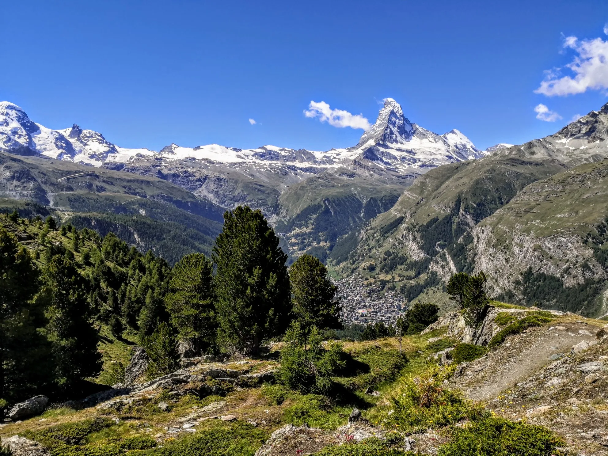
Walker's Haute Route – The ultimate alpine adventure
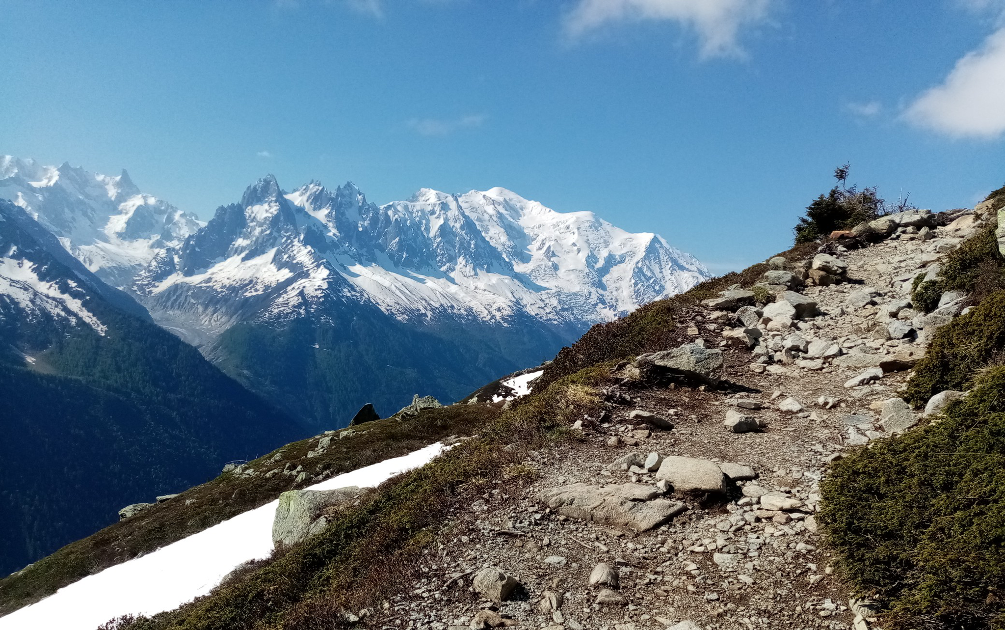
Ultra-Trail du Mont-Blanc – following the footsteps of legends

Alpine Passes Trail in Switzerland – 34 stages of pure mountain fun
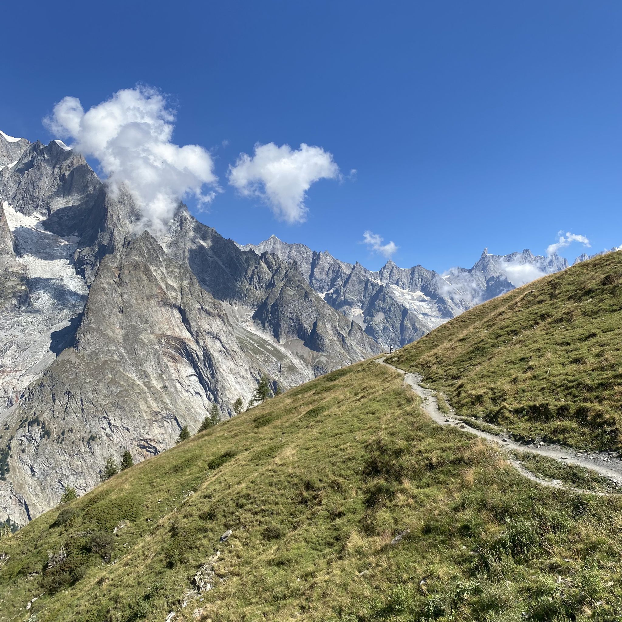
Between the glaciers of the King of the Alps – Mont Blanc MTB Tour
Traffic-free bike rides around Lac de Champex
Traffic-free bike rides around Lac de Champex
Other adventures around Lac de Champex


Tips from the Community

An intense and very impressive climb. Over eleven kilometers, you have to overcome an elevation gain of around 850 meters. The roads are narrow and winding. There is little traffic. The splendor of colors in the larch forests is particularly impressive in autumn. A not entirely easy but highly recommended alternative to the main road in the valley.
1
0
The climb from Orsières to Ferret is highly recommended. You need around 18km to overcome a good 800 metres in altitude. There are always flatter sections where you can relax. The further you drive into the valley, the smaller the road becomes and the more breathtaking the nature. A trip up to the Val Ferret is particularly worthwhile in autumn. That's when the larches shine wonderfully golden. Together with the snow-covered peaks and the blue sky, this creates an incredible natural spectacle. The road leads through La Fouly and Ferret to a car park below the Alpage Les Ars Dessous. From there, two hiking trails lead further up towards the peak, which marks the border with Italy.
1
0
The climb from Orsières to Ferret is highly recommended. You need around 18km to overcome a good 800 metres in altitude. There are always flatter sections where you can relax. The further you drive into the valley, the smaller the road becomes and the more breathtaking the nature. A trip up to the Val Ferret is particularly worthwhile in autumn. That's when the larches shine wonderfully golden. Together with the snow-covered peaks and the blue sky, this creates an incredible natural spectacle. The road leads through La Fouly and Ferret to a car park below the Alpage Les Ars Dessous. From there, two hiking trails lead further up towards the peak, which marks the border with Italy.
0
0
An intense and very impressive climb. Over 11km you have to overcome around 850 meters in altitude. The roads are narrow and winding. There is little traffic. The splendor of colors in the larch forests is particularly impressive in autumn. Not an easy but highly recommended alternative to the main road in the valley.
0
0

Beautiful little family village with a magnificent view!
0
0

The Col road goes from Martigny at 471 m with an average gradient of about 9%, over the Col des Planches then descends to Sembrancher at 717 m with an average gradient of 7%. The view over the Rhone Valley is superb.
1
0

Nice fountain to fill up before the climb
0
0

Very nice crossing to Sembrancher! With Champes Lac it makes a great road bike circuit!
1
0
Frequently Asked Questions
How many no-traffic road cycling routes are available around Lac de Champex?
There are over 10 dedicated no-traffic road cycling routes around Lac de Champex, ranging from easy to difficult. This includes 2 easy routes, 8 moderate routes, and 2 challenging options, ensuring there's something for every skill level.
What is the best time of year for no-traffic road cycling in Lac de Champex?
The best time for no-traffic road cycling around Lac de Champex is typically from late spring through early autumn. During these months, the alpine passes are generally clear of snow, and the weather is most favorable for enjoying the stunning mountain views and serene lake surroundings. Summer offers lush green scenery and warmer temperatures, while early autumn provides vibrant larch forests.
Are there any easy no-traffic road cycling routes suitable for beginners or families?
Yes, while many routes involve significant climbs, there are easier options. The region offers routes like the Champex Bike Circuit, which is an easier, shorter route (around 10 km) that circles the lake, offering views of the Grand Combin and passing through larch forests and a protected marshland. This provides a gentle introduction to road cycling in the area without heavy traffic.
What kind of terrain can I expect on the no-traffic road cycling routes?
You can expect a diverse range of terrain, from well-paved surfaces on challenging alpine climbs like the Col de Champex, to routes that traverse prairies, dense larch forests, and alpine meadows. The Val Ferret, in particular, is known for its green scenery and relatively limited traffic, offering a mix of ascents and scenic stretches.
Are there any circular no-traffic road cycling routes around Lac de Champex?
Yes, many of the no-traffic road cycling routes around Lac de Champex are designed as loops, allowing you to start and finish in the same location. For example, the Roadbike loop from La Breya offers a moderate 21.36 km ride with significant elevation gain, providing a rewarding circular experience.
What are some notable natural features or viewpoints I can see while cycling?
The routes offer breathtaking panoramic mountain views, including the majestic Mont Blanc massif and the Grand Combin. You'll cycle through dense larch forests, past alpine meadows, and alongside the clear waters of Lac de Champex. The ascent to Col de Champex, for instance, provides superb views, including the Durnand gorges in its initial kilometers, before revealing vistas of the Catogne and Mont Dolent.
Can I find challenging no-traffic road cycling routes for experienced cyclists?
Absolutely. For experienced cyclists seeking a challenge, the ascent to Col de Champex is a prominent option. Starting from Bovernier, it covers 10.7 kilometers with an average gradient of 8% and an elevation gain of 870 meters. Another challenging route is the Circuit towards les Ars dessous, a moderate route spanning 32.8 km with an elevation gain of 890 meters.
What do other road cyclists enjoy most about cycling in Lac de Champex?
The komoot community highly rates the road cycling experience in Lac de Champex, with an average score of 4.5 stars from 89 ratings. Reviewers often praise the stunning alpine landscapes, the diverse terrain, and the peaceful, low-traffic roads that allow for an immersive cycling experience amidst nature.
Are there any specific routes that explore the Val Ferret region?
Yes, the Val Ferret is a fantastic area for road cycling due to its green scenery and limited traffic. A great option is the La Fouly – Ferret Chapel loop from Val Ferret, a moderate 19.7 km route with an elevation gain of 544 meters, allowing you to explore the natural beauty of this high-altitude valley.
Are there any routes that pass by interesting historical or cultural sites?
While the focus is on natural beauty, the region does offer unique attractions. For example, the underground artillery fort, built into the mountainside and used by the Swiss army until 1998, is a unique historical site near Champex. Additionally, ancient irrigation channels known as "bisses" offer pleasant paths, often leading past waterfalls, which can be explored on foot or sometimes alongside cycling routes.
Where can I find parking for these no-traffic road cycling routes?
Parking is generally available in and around the village of Champex-Lac, which serves as a central hub for many routes. Specific parking information for individual routes can often be found on the detailed komoot tour pages, but you can typically find designated parking areas within the village or at the start points of popular trails.
Are there any routes that offer views of the Col des Planches?
Yes, you can experience the Col des Planches region on a dedicated loop. The Col des Planches – Col des Planches loop from Sembrancher is a moderate 18.37 km route with an elevation gain of 707 meters, offering a scenic ride through this area.
Most popular routes around Lac de Champex

Get inspired with the komoot mobile app


Explore more
Browse the best Road cycling routes in other regions.
