The best hikes from bus stations around Türlersee
4.6
(3479)
26,053
hikers
424
hikes
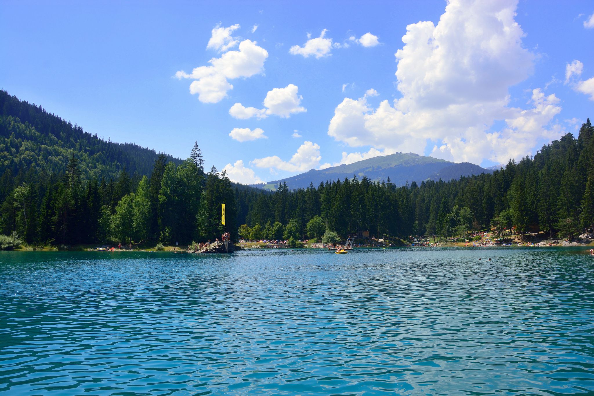
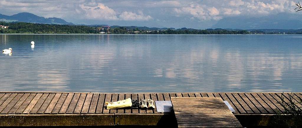
Bus station hiking trails around Türlersee offer access to a picturesque lake nestled in a quiet valley near Zurich, Switzerland. The region is characterized by its diverse natural features, including the lake itself, natural banks, species-rich moors, reed meadows, and mixed forests. Hiking routes traverse varied terrain, moving through open fields, light forests, and over gentle hills, with some trails providing panoramic views from the nearby Albis ridge.
Best bus station hiking trails around Türlersee
- The most popular bus station hiking route is Türlersee Loop Trail, a 2.7 mile (4.4 km) trail that takes 1 hour 10 minutes to complete. This easy circular path offers continuous lake views and is suitable for all fitness levels.
- Another top favourite among local hikers is Albis-Hochwacht Observation Tower – View of Lake Zurich loop from Türlersee, a moderate 5.5 mile (8.9 km) path. This route includes a climb to the Hochwacht lookout point, providing extensive views across Lake Zurich and the Reppisch Valley.
- Local hikers also love the Türlersee Swimming Area – View of the Alps and Lake Zug loop from Türlersee, a 7.6 mile (12.2 km) trail leading through varied landscapes, often completed in about 3 hours 33 minutes.
- Hiking around Türlersee is defined by its idyllic lake, tranquil nature reserves, and gentle hills of the Albis ridge. The network offers options for different ability levels, from easy lakeside strolls to moderate climbs with scenic viewpoints.
- The routes in Türlersee are highly rated by the komoot community with an average score of 4.6 stars from over 3,100 reviews. More than 24,000 hikers have used komoot to explore Türlersee's varied terrain.
Last updated: June 29, 2026
4.7
(204)
1,730
hikers
4.37km
01:09
40m
40m
Hike the easy 2.7-mile Türlersee circular route, gaining 141 feet in 1 hour and 9 minutes, offering lovely lake views.
4.8
(13)
77
hikers
Moderate hike. Good fitness required. Mostly accessible paths. Sure-footedness required.

Sign up for free
29
hikers
3.06km
00:47
20m
20m
Easy hike. Great for any fitness level. Easily-accessible paths. Suitable for all skill levels.
3.0
(2)
11
hikers
7.11km
02:11
240m
240m
Moderate hike. Good fitness required. Easily-accessible paths. Suitable for all skill levels.
5.0
(1)
11
hikers
3.38km
00:56
60m
60m
Easy hike. Great for any fitness level. Easily-accessible paths. Suitable for all skill levels.
Get access to more routes and recommendations from other explorers.
Sign up for free
Already have an account?
Our route recommendations are based on thousands of hikes, rides, and runs completed by other people on komoot.
Start today with a free account
Your next adventure awaits.
Login or Signup
Popular around Türlersee

Tips from the Community

This is for fishing purpose only. No swimming allowed.
0
0
Open May until the first or second weekend in September, depending on the year. Admission fees 2026: Adults (16+) CHF 5 Children (6-15) CHF 3 Season pass Adults (16+) CHF 70 Children (6-15) CHF 35 If you are a guest of the camping: no extra charge.
0
0

Did you know that the lake was formed by a rockslide? I didn't! Check the description under the video or on Wikipedia, that's where I got the information. https://youtu.be/QWDeZaNdCsY
0
0

A beautiful circular route where you can see many water birds and get good photos of them.
0
0

A beautifully landscaped and well-maintained wilderness park (no entrance fee), with many animals - including predators (bears, lynxes, wolves).
0
0
A pretty little cabin in the middle of the forest, inviting you to rest (with weather protection).
0
0

From the north, a relatively easy, clearly visible, unmarked path leads to the plateau on which Schnabelburg Castle stands. The descent to the south is very steep and, when the ground is wet and/or covered in autumn leaves, also very slippery.
1
0

The Hochwacht lookout point on the Albis ridge is a scenic viewpoint overlooking Lake Zurich. From here, you can see across the lake, the Reppisch Valley, and, on a clear day, as far as the Glarus Alps. The path leading up takes you through light forests and over gentle hills – a short but rewarding hike offering peace and panoramic views.
7
1
Frequently Asked Questions
How many bus-accessible hiking trails are there around Türlersee?
There are over 440 hiking routes around Türlersee that are easily accessible by bus. These trails cater to various fitness levels, with a significant number being easy or moderate.
What kind of terrain can I expect on bus-accessible hikes around Türlersee?
The trails around Türlersee offer varied terrain, moving through open fields, light forests, and over gentle hills. The popular Türlersee Loop Trail, for instance, is largely a wide dirt or gravel path, suitable for most hikers.
Are there any easy, family-friendly routes accessible by bus?
Yes, the Türlersee Loop Trail is an excellent choice for families. It's an easy 4.3 km circular route around the lake, largely flat and suitable for all fitness levels, including those with off-road strollers. It takes approximately 1 hour and 9 minutes to complete.
Can I find circular hiking routes starting from a bus stop?
Absolutely. Many routes around Türlersee are designed as circular walks, making them ideal for public transport users. The Türlersee Loop Trail is a prime example, offering a complete circuit around the lake.
What are the best times of year to hike around Türlersee by bus?
Türlersee is beautiful year-round. Spring and autumn offer pleasant temperatures and vibrant scenery. Summer is great for combining hikes with a swim in the lake. Even in winter, when the lake freezes, it's popular for walks, with some trails suitable for winter hiking.
Are there any challenging bus-accessible hikes near Türlersee?
For those seeking more challenge, consider routes that extend towards the Albis ridge. The Albis-Hochwacht Observation Tower loop from Türlersee is a moderate 8.8 km hike with significant elevation gain, offering panoramic views.
What natural features or landmarks can I see along the bus-accessible trails?
The trails showcase the idyllic Lake Türler itself, which is a valuable nature reserve with moors, reed meadows, and mixed forests. You can also find picnic areas with fire pits. The nearby Albis ridge offers panoramic views across Lake Zurich and, on clear days, the Glarus Alps.
Are dogs allowed on the hiking trails around Türlersee?
Yes, dogs are generally welcome on the hiking trails around Türlersee. However, please ensure they are kept on a leash, especially in nature reserve areas and near livestock, and always clean up after your pet.
Are there places to eat or amenities along the bus-accessible routes?
Yes, the Türlersee area offers amenities. There's a well-equipped campsite with a restaurant near the lake. Along the Türlersee Loop Trail, you'll find picnic areas, and the official swimming area (Türlersee Swimming Area) often has facilities open during warmer months.
What do other hikers enjoy most about hiking in Türlersee?
The Türlersee area is highly rated by the komoot community, with an average score of 4.58 stars. Reviewers often praise the tranquil atmosphere, the beautiful lake views, and the well-maintained, accessible trails that make it feel far from urban life despite its proximity to Zurich.
Are there opportunities for swimming after a hike?
Yes, Türlersee is popular for swimming. There's an official swimming area (Türlersee Swimming Area) with a grassy space, playground, and changing rooms, typically open from April to October. Several unofficial entry points also allow for free swimming.
Most popular routes around Türlersee
Most popular attractions around Türlersee

Get inspired with the komoot mobile app


