The best traffic-free bike rides around Loch Urr
4.0
(3)
137
riders
3
rides
Road cycling around Loch Urr, nestled in Dumfries and Galloway, Scotland, offers a tranquil environment characterized by freshwater lochs, meandering rivers, and a mix of moors and forests. The region features well-paved roads alongside rolling terrain, including gentle hills that provide scenic views. Cyclists can expect a blend of open vistas and woodland sections, with routes often following the Urr Water. The landscape provides varied terrain suitable for no traffic road cycling routes.
Best no traffic road cycling routes around…
Last updated: July 12, 2026
3
riders
40.0km
02:00
350m
350m
Moderate road ride. Good fitness required. Mostly well-paved surfaces and easy to ride.
5.0
(2)
11
riders
37.0km
01:33
300m
300m
Easy road ride. Great for any fitness level. Mostly well-paved surfaces and easy to ride.

Sign up for free
4
riders
42.4km
02:01
460m
460m
Moderate road ride. Good fitness required. Mostly well-paved surfaces and easy to ride.
42
riders
Moderate road ride. Good fitness required. Mostly well-paved surfaces and easy to ride.
5
riders
49.8km
02:47
630m
630m
Moderate road ride. Good fitness required. Some segments of this route may be unpaved and difficult to ride.
Our route recommendations are based on thousands of hikes, rides, and runs completed by other people on komoot.
Start today with a free account
Your next adventure awaits.
Login or Signup
Popular around Loch Urr
Tips from the Community

The Devorgilla Bridge (also known as Old Bridge) in Dumfries is one of Scotland's oldest surviving bridges. It spans the River Nith and dates back to a wooden bridge endowed around 1260 by Lady Devorgilla of Galloway. The present stone bridge mainly dates from the 15th century and has been rebuilt several times after flood damage. Originally it had nine arches, today six remain. Directly beside the bridge stands the historic Old Bridge House, one of the oldest houses in Dumfries. For hikers and history enthusiasts, the bridge is a landmark of Dumfries and a beautiful viewpoint over the River Nith.
0
0

The pedestrian bridge is one of the oldest in Scotland. Built in 1432, it crosses the River Nith in the town center and offers scenic views.
0
0


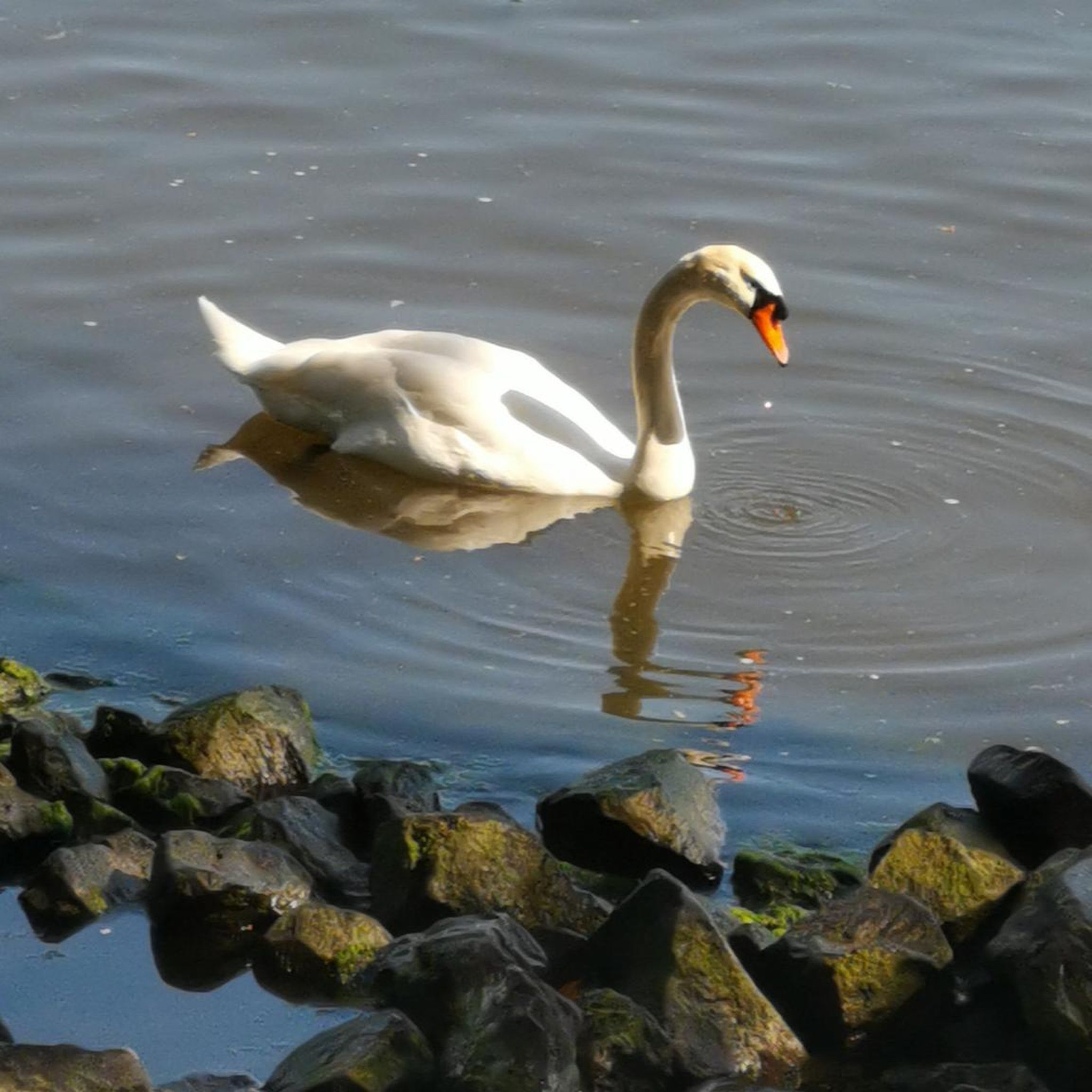
Some fine views over the Loch beside National Cycle route 7. Stop and take in the wildlife, with a good description of the various water-dwelling creatures in the area.
1
0


The Cat Strand theater/ visitor center café in New Galloway would is a good café stop nearby.
0
0
One of the oldest standing bridges in Scotland crosses the River Nith in Dumfries. Devorgilla Bridge is also sometimes known as Devorgilla's Bridge or the Old Bridge and is named after Devorgilla, Lady of Galloway, the mother of King John Balliol. All the land to the west of the River Nith traditionally formed part of Galloway, which only truly became part of Scotland during Alexander II's reign in the 1230s. Dumfries was therefore a frontier town for much of its early history and had grown up on the east side of a ford that provided the lowest crossing point of the River Nith. By 1186 the town was sufficiently well established to be made a Royal Burgh. According to some sources the first bridge was built across the River Nith at Dumfries during the 1260s by Devorgilla, Lady of Galloway. No trace of this bridge has ever been found, and if it existed at all it seems very likely that it was made of wood. There is rather more evidence for the immediate predecessor of the bridge you see today. Construction began on a stone bridge in about 1430, and a papal indulgence of 1432 recorded the Pope's approval for a call for subscribers to pay for the completion of the bridge. This bridge survived for a little under two centuries before being partially destroyed in a major flood in 1620 or 1621. Once more accounts differ, but it seems that the east half of the bridge was swept away and what was left might well have been severely damaged. https://www.undiscoveredscotland.co.uk/dumfries/devorgillabridge/index.html
2
0

Fantastic café with delicious food, friendly staff, and a refill shop which is perfect for topping up on camping food like oats, dried fruit, cous cous etc.
0
0
Frequently Asked Questions
What kind of terrain can I expect on no-traffic road cycling routes around Loch Urr?
The routes around Loch Urr offer a diverse mix of terrain. You'll find well-paved roads, particularly alongside areas like Glenkiln Reservoir, providing smooth riding surfaces. Expect a blend of rolling hills, woodlands, and open vistas, with opportunities for both leisurely rides and more challenging climbs and descents. The region is known for its tranquil environment and picturesque scenery.
Are there easy no-traffic road cycling routes suitable for beginners around Loch Urr?
Yes, there are easy routes available. For instance, the View of Loch Urr loop from Glaisters Hill is an easy 19.5 km ride, perfect for those looking for a less strenuous option. Another easy route is the Am Mòine Naomh – View of Loch Urr loop from Moniaive, covering about 37 km.
What is the best time of year for road cycling around Loch Urr?
While cycling is enjoyable year-round, the spring and summer months (roughly April to September) generally offer the most pleasant conditions for road cycling in Dumfries and Galloway. You can expect milder weather, longer daylight hours, and the full beauty of the region's natural landscapes, from freshwater lochs to forests, in bloom.
Are there any circular no-traffic road cycling routes in the Loch Urr area?
Yes, many of the no-traffic road cycling routes around Loch Urr are designed as loops, allowing you to start and finish at the same point. Examples include the View of Loch Ken loop from Glaisters Hill and the View of Loch Urr loop from Glaisters Hill, offering convenient circular journeys through the scenic landscape.
What are the typical distances and durations for no-traffic road bike routes near Loch Urr?
The routes vary in length and duration to suit different preferences. You can find shorter, easier rides like the View of Loch Urr loop from Glaisters Hill at around 19.5 km (approx. 1 hour), up to longer, moderate routes such as the View of Bishop Forest Hill – View of Lochfoot Reservoir loop from Slatehouse Hill, which is about 56.6 km and takes around 2.5 hours.
Where can I find parking facilities for cyclists near Loch Urr?
While specific dedicated cyclist parking facilities are not detailed, many routes, particularly those starting from villages like Moniaive or areas like Glaisters Hill, will have general parking available. It's advisable to check local parking options in these starting points when planning your ride.
What do other road cyclists enjoy most about the no-traffic routes around Loch Urr?
The komoot community rates the routes around Loch Urr highly, with an average score of 4.0 stars. Cyclists often praise the tranquil environment, the diverse natural features including freshwater lochs and forests, and the opportunity to experience the magnificent Scottish scenery on quiet, well-paved roads.
Are there any viewpoints or scenic spots along the no-traffic road cycling routes?
Yes, the region around Loch Urr is known for its picturesque views. The presence of 'wee hills' on either side of Loch Urr offers scenic vistas. Routes often pass by other lochs, rivers, and through open landscapes, providing numerous opportunities to enjoy the natural beauty of Dumfries and Galloway. For example, the View of Loch Ken loop from Glaisters Hill offers beautiful views of Loch Ken.
Can I reach the Loch Urr cycling routes using public transport with my bike?
Public transport options directly to Loch Urr with bike carriage can be limited. However, nearby towns like Moniaive might offer more accessible public transport links. It's recommended to check local bus services or train lines to larger hubs in Dumfries and Galloway for their bike policies and connections to smaller villages near the cycling routes.
Are there any cafes or pubs along the no-traffic road cycling routes for a break?
While specific cafes or pubs directly on the quieter, no-traffic routes around Loch Urr are not guaranteed, starting points like Moniaive are known to have local amenities. Planning your route to pass through or near these villages can provide opportunities for refreshment stops during your ride.
What is the longest no-traffic road cycling route available around Loch Urr?
One of the longer no-traffic road cycling routes is the View of Bishop Forest Hill – View of Lochfoot Reservoir loop from Slatehouse Hill, which spans approximately 56.6 km and is rated as moderate difficulty.
Most popular routes around Loch Urr

Get inspired with the komoot mobile app


Explore more
Browse the best Road cycling routes in other regions.
