The best hikes from bus stations around Lake Lugano
4.5
(2701)
14,096
hikers
65
hikes
Bus station hiking trails around Lake Lugano offer a unique blend of alpine and Mediterranean landscapes, characterized by prominent peaks like Monte San Salvatore and Monte Brè. The region features lush forests, deep valleys, and the expansive Lake Lugano, providing diverse terrain for outdoor activities. Trails often wind through picturesque villages and offer panoramic views of the water and surrounding mountains.
Best bus station hiking trails around Lake Lugano
- The most popular bus station hiking route is Gandria Village on Lake Lugano – Olive Grove Park loop from Gandria, a 3.2 miles (5.1 km) trail that takes 1 hour 27 minutes to complete. This easy route explores the charming village of Gandria and its scenic olive groves.
- Another top favourite among local hikers is Brè Village – Gandria Village on Lake Lugano loop from Gandria, a moderate 5.5 miles (8.8 km) path. This trail offers significant elevation gain and panoramic views as it connects two picturesque lakeside villages.
- Local hikers also love the View of Lake Lugano – Morcote loop from Morcote, a 7.0 miles (11.4 km) trail leading through varied terrain with views of Lake Lugano, often completed in about 4 hours 5 minutes.
- Hiking around Lake Lugano is defined by its dramatic mountain backdrops, serene lake views, and Mediterranean-influenced vegetation. The network offers options for different ability levels, from easy lakeside strolls to more challenging ascents.
- The routes in Lake Lugano are highly rated by the komoot community with an average score of 4.5 stars from more than 2,400 reviews. More than 13,000 hikers have used komoot to explore Lake Lugano's varied terrain.
Last updated: June 29, 2026
4.7
(52)
457
hikers
5.13km
01:28
120m
110m
Easy hike. Great for any fitness level. Easily-accessible paths. Suitable for all skill levels.
4.6
(43)
242
hikers
8.87km
03:51
620m
620m
Moderate hike. Good fitness required. Mostly accessible paths. Sure-footedness required.

Sign up for free
4.8
(39)
192
hikers
11.5km
04:07
610m
610m
Moderate hike. Good fitness required. Mostly accessible paths. Sure-footedness required.
4.5
(2)
247
hikers
3.34km
00:52
20m
20m
Easy hike. Great for any fitness level. Easily-accessible paths. Suitable for all skill levels.
4.8
(32)
93
hikers
Moderate hike. Good fitness required. Easily-accessible paths. Suitable for all skill levels.
Get access to more routes and recommendations from other explorers.
Sign up for free
Already have an account?
Our route recommendations are based on thousands of hikes, rides, and runs completed by other people on komoot.
Start today with a free account
Your next adventure awaits.
Login or Signup
Popular around Lake Lugano
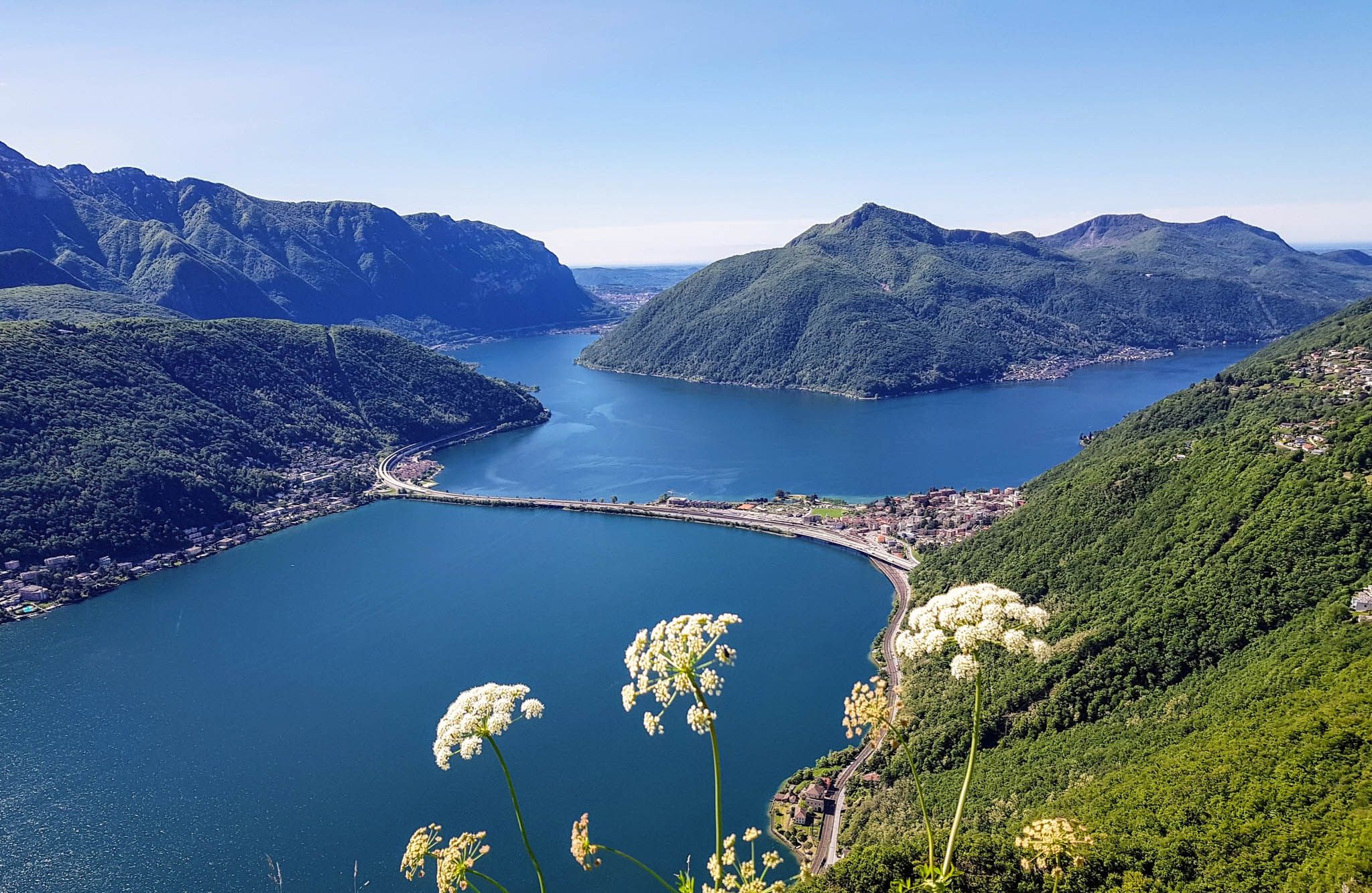
Sentiero Lago di Lugano – Between summits and lakes

Trans Swiss Trail – Hiking across Switzerland

Via Gottardo – Following historic trails
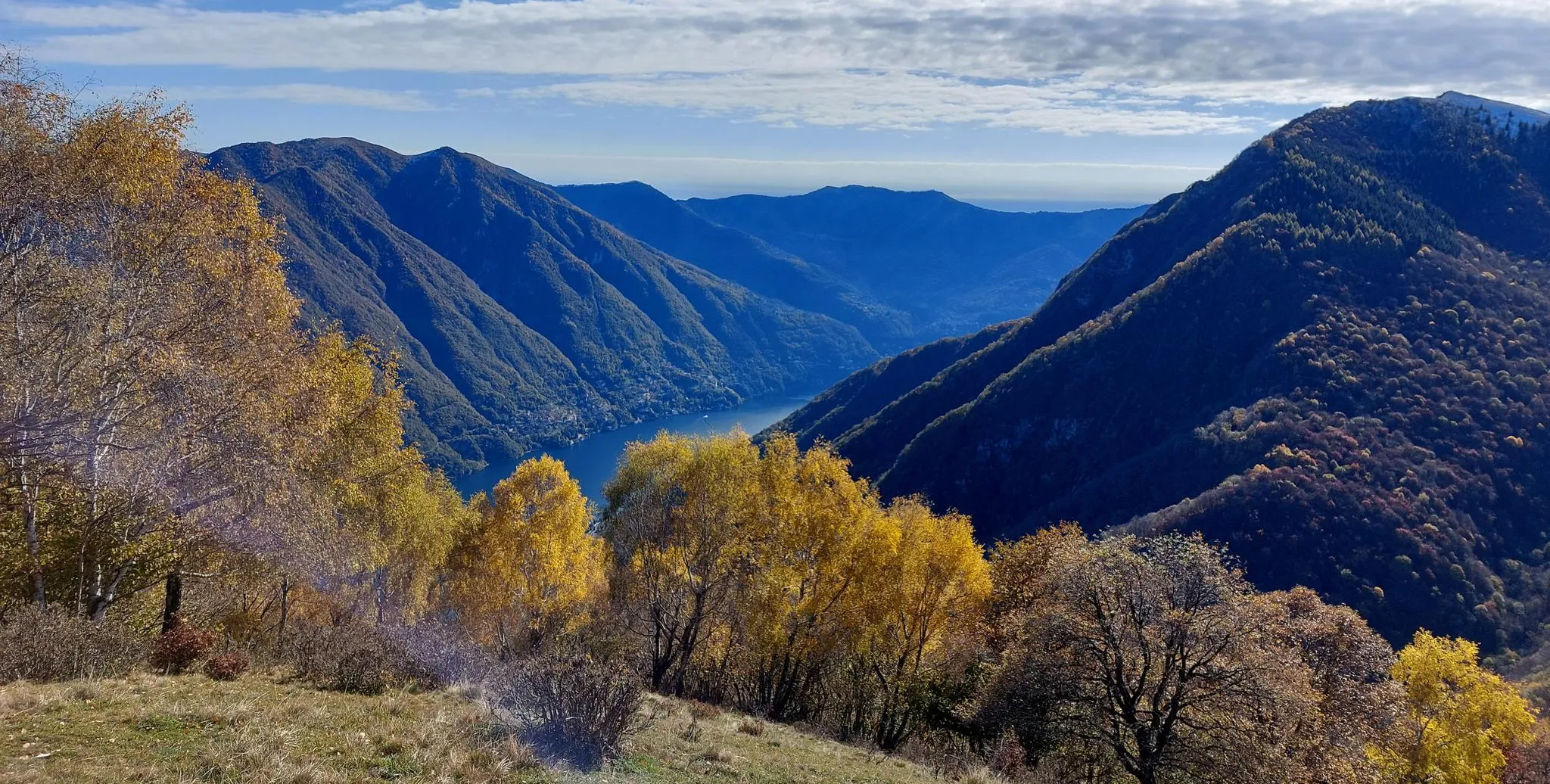
Lake Como region – CamminaForeste in Lombardy part 7
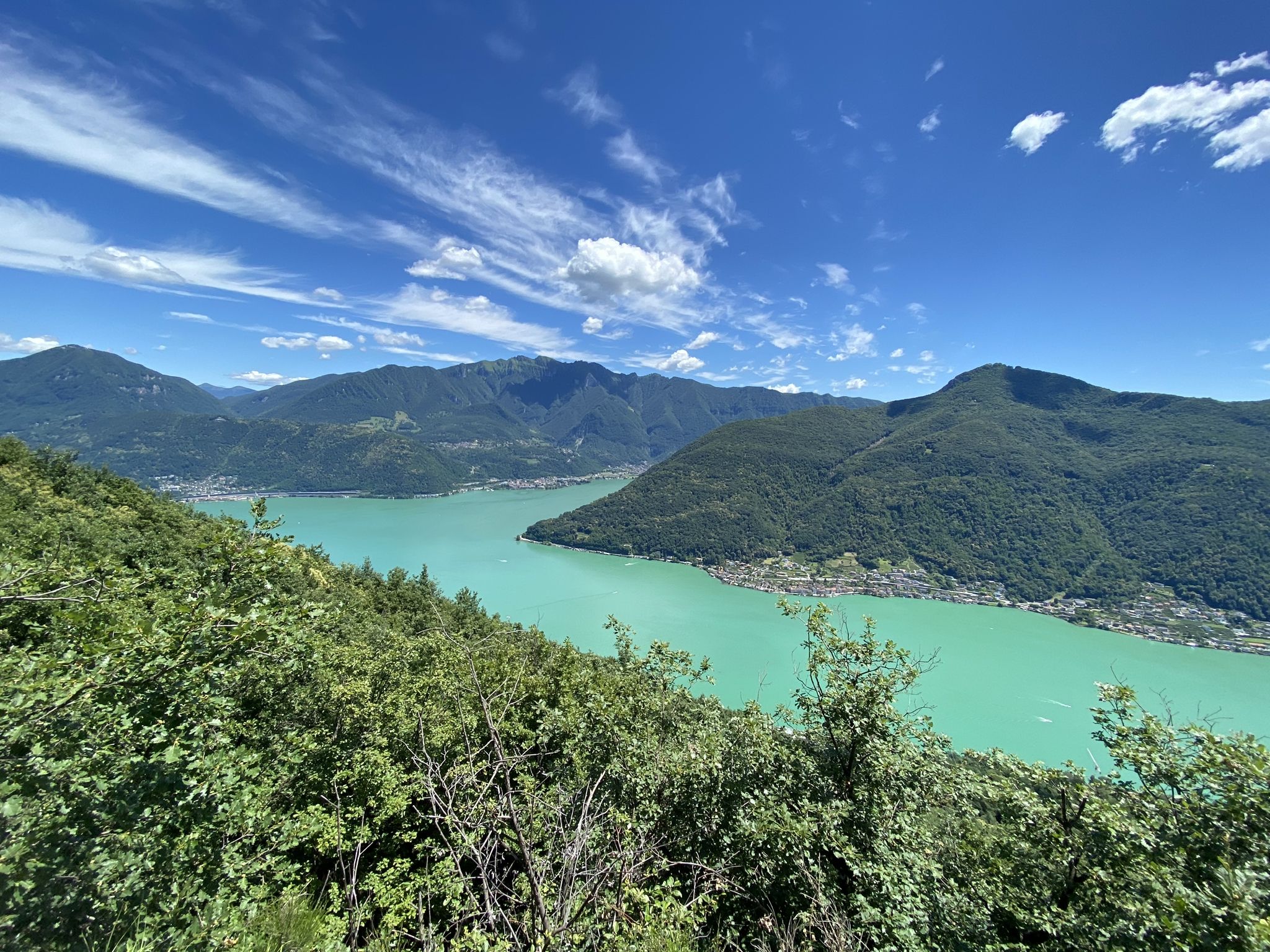
Trails with friends – komoot hiking relay through Ticino in Switzerland

Every cycling trip is a little holiday – bike to work Challenge 2026
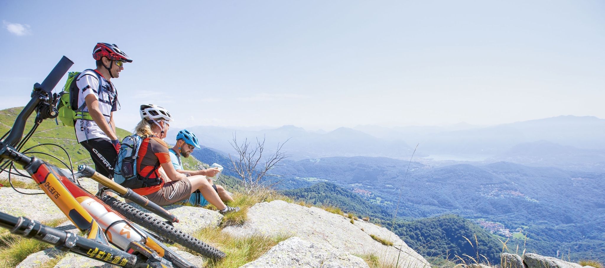
Ride together – the komoot MTB relay through Ticino in Switzerland
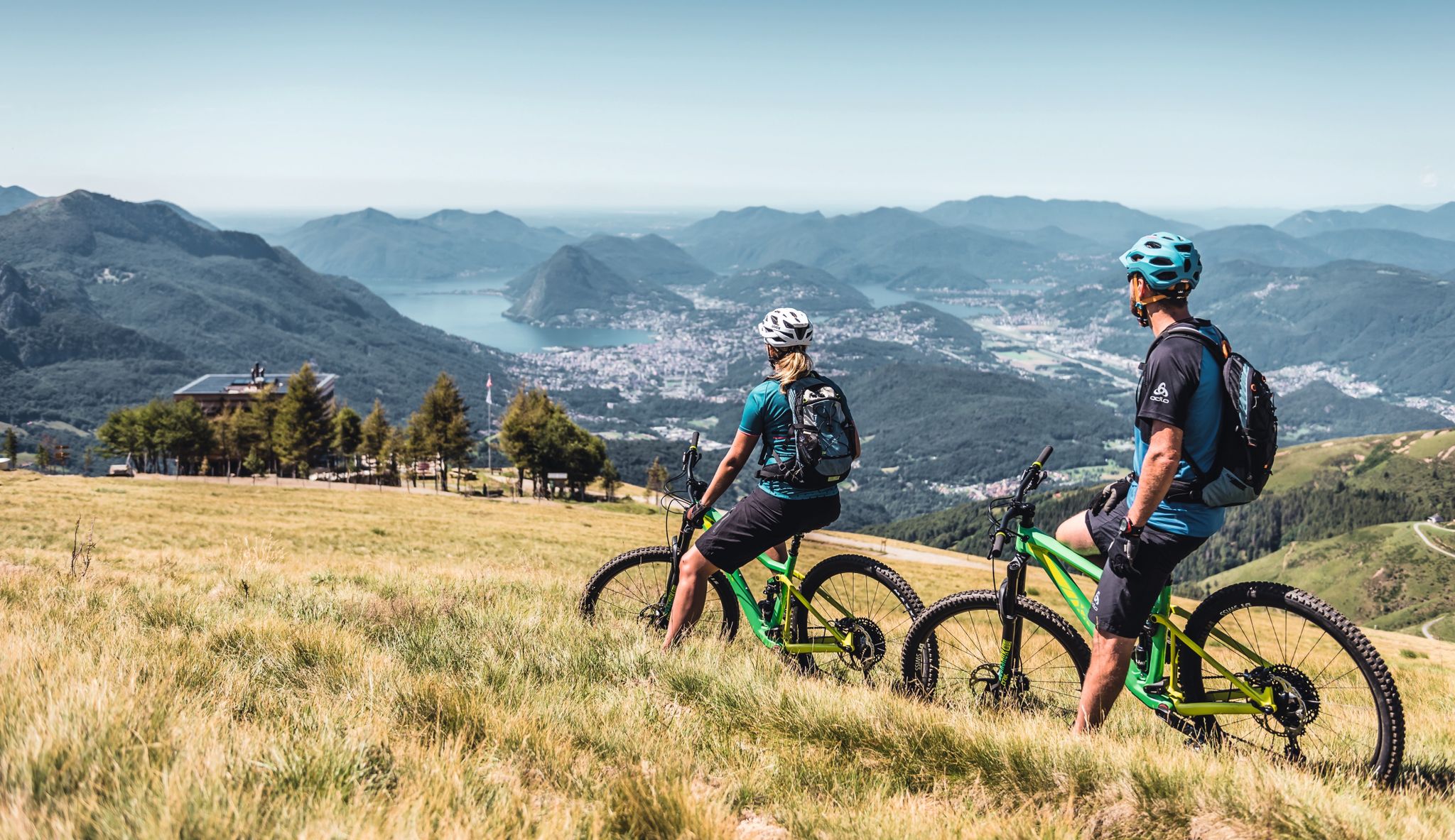
Wine, mountains & lakes – six top MTB Tours in Ticino in Switzerland
Other adventures around Lake Lugano


Tips from the Community


This beautiful lakeside path between Castagnola and Gandria (the "Sentiero di Gandria") is perfect for a stroll. I would advise against using a bike (the path is quite narrow, and there's a rather long staircase before Gandria). It's about 1600m from the (small!) car park in Castagnola to the car park in Gandria. A walk can be combined with a boat trip (e.g., from Gandria back to Lugano, or vice versa) (timetable: https://www.lakelugano.ch/de). Just before the start in Castagnola is Villa Helenum with a beautiful small park right on the lake. About 250m after the start, you reach one of Lugano's swimming pools, the Lido San Domenico, with a small grassy bathing area (info and prices: https://www.lugano.ch/vivere-lugano/cultura-e-tempo-libero/lidi-e-piscine/lido-san-domenico/). Approximately halfway (700m from the start in Castagnola), there is a public toilet and a drinking water fountain. A few meters further is the restaurant Elvezia with a terrace right on the lake and a stop for excursion boats ("Grotto Elvezia"). From the start in Castagnola, the first 1200m are flat and only a few meters above the lake. After 1200m, shortly before the village of Gandria, you climb a long staircase. At the top of the stairs, you have a wonderful view over the lake, including Monte San Salvatore in the background (and a cactus in the foreground). The destination, Gandria, is a beautiful village with a church worth seeing, many narrow alleys and stairs, several restaurants, some with terraces and lake views, and a stop for excursion boats.
0
0

I arrived by train early Sunday morning and was able to enjoy the city in complete peace and quiet. Beautiful buildings, and the waterfront promenade, with its palm trees, olive trees, and other Mediterranean plants, evokes a southern atmosphere. Numerous benches invite you to linger, soak up the sun, and daydream.
0
0

Fascinating landscape, always worth a trip 👌👍
0
0

The Gandrigna farmstead offers beautiful views of Lake Lugano and the striking mountains (most beautiful without the haze).
1
0
The park stretches along the upper slopes of the 835-meter-high Monte Pescia, extending considerably in length and height over approximately 200,000 square meters. It offers a wealth of flowers, shrubs, and trees, as well as a wealth of art objects. In addition, there are repeated magnificent views of Lake Lugano and the opposite mountain ranges to the east, with Monte Generoso as the highest peak. To the west, there are magnificent views of the Valais Alps, including the Monte Rosa massif.
1
0

We recommend only walking as far as Parco de Olivio. From there, the path only goes up and down between houses. No more views of the lake.
0
1

The jewel of Ticino
0
0
Frequently Asked Questions
How many bus station hiking trails are available around Lake Lugano?
There are over 60 hiking trails around Lake Lugano that are easily accessible from bus stations. These routes offer a wide range of experiences, from leisurely lakeside strolls to more challenging mountain ascents, catering to various fitness levels.
What makes Lake Lugano a good destination for bus-accessible hiking?
Lake Lugano offers a unique blend of alpine and Mediterranean landscapes, with many trails starting directly from public bus stops. This allows hikers to explore picturesque villages, lush forests, and panoramic mountain views without needing a car. The
Ticino Ticket
often provides free public transport, further enhancing accessibility.What is the best time of year to go hiking from bus stations in Lake Lugano?
The best time for hiking around Lake Lugano is generally spring (April-June) and autumn (September-October). During these seasons, the weather is pleasant, and the landscapes are vibrant with blooming flowers or rich autumn colors. Summer can be warm, especially at lower elevations, while winter might see snow on higher trails.
Are there easy, family-friendly hiking trails accessible by bus around Lake Lugano?
Yes, Lake Lugano offers many easy and family-friendly options. For example, the Sentiero dell'Olivo – Olive Grove Park loop from Gandria is a gentle walk through olive groves with beautiful lake views, perfect for all ages. There are 26 easy routes in total, many of which are suitable for families.
Are there any circular hiking routes from bus stations in Lake Lugano?
Yes, many bus-accessible routes around Lake Lugano are circular, allowing you to start and end at the same bus stop. An excellent example is the Gandria Village on Lake Lugano – Olive Grove Park loop from Gandria, which offers a scenic return to your starting point.
What kind of landmarks or attractions can I see along these bus-accessible trails?
Many trails lead to or pass by charming villages and stunning viewpoints. You can explore the historic Morcote Village, often called one of Switzerland's most beautiful, or the picturesque Gandria Village on Lake Lugano. Higher trails offer panoramic views of the lake and surrounding mountains like Monte San Salvatore or Monte Brè.
Are there any moderate or challenging bus-accessible hikes for experienced hikers?
Absolutely. For those seeking more challenge, there are 30 moderate and 8 difficult routes available. A rewarding moderate option is the View of Lake Lugano – Morcote loop from Morcote, which offers significant elevation changes and expansive views over the lake and the village of Morcote.
Can I find places to eat or stay near the bus station hiking trails?
Yes, many hiking trails around Lake Lugano connect to charming villages like Gandria and Morcote, which offer local restaurants, cafes, and accommodation options. You'll often find opportunities to enjoy local cuisine or even stay overnight, especially in the more popular hiking areas.
What do other hikers enjoy most about hiking from bus stations in Lake Lugano?
The komoot community highly rates the hiking experiences around Lake Lugano, with an average score of 4.47 stars. Reviewers often praise the stunning panoramic views, the convenience of public transport access, and the diverse landscapes that blend alpine grandeur with Mediterranean charm.
Are there any lakeside walks accessible by bus in Lugano?
Yes, you can enjoy pleasant lakeside walks directly from bus stops in Lugano. The Lugano Lakeside Promenade – Lugano loop from Lugano is an easy route that allows you to stroll along the beautiful waterfront, offering relaxing views of the lake and the city.
Most popular routes around Lake Lugano
Most popular attractions around Lake Lugano

Get inspired with the komoot mobile app


Explore more
Browse the best Hikes in other regions.
