The best hikes from bus stations around Lago di Monate
4.2
(4481)
21,567
hikers
58
hikes
Bus station hiking trails around Lago di Monate offer access to a diverse landscape in the Lombardy region of Italy. The area is characterized by lush forests, rolling morainic hills, and the tranquil waters of Lago di Monate itself. These trails often provide views of the lake and connect to larger natural areas like the Parco Lombardo della Valle del Ticino and the Parco Regionale del Campo dei Fiori. The varied terrain includes wooded paths, lakeside routes, and gentle ascents,…
Last updated: June 29, 2026
4.6
(5)
10
hikers
15.2km
04:19
350m
350m
Hike the moderate Monte Pelada Trail, a 9.4-mile route in Parco Lombardo della Valle del Ticino, offering wooded paths and lake views.
4.6
(12)
32
hikers
6.40km
01:47
110m
110m
Easy hike. Great for any fitness level. Easily-accessible paths. Suitable for all skill levels.

Sign up for free
1.0
(1)
5
hikers
4.59km
01:17
80m
90m
Easy hike. Great for any fitness level. Easily-accessible paths. Suitable for all skill levels.
5.0
(2)
2
hikers
7.23km
02:02
150m
150m
Moderate hike. Good fitness required. Easily-accessible paths. Suitable for all skill levels.
5.0
(2)
15
hikers
8.79km
02:19
80m
80m
Moderate hike. Good fitness required. Easily-accessible paths. Suitable for all skill levels.
Get access to more routes and recommendations from other explorers.
Sign up for free
Already have an account?
Our route recommendations are based on thousands of hikes, rides, and runs completed by other people on komoot.
Start today with a free account
Your next adventure awaits.
Login or Signup
Popular around Lago di Monate
Other adventures around Lago di Monate

Tips from the Community

Sneakers some points are rocky although not overly complicated.
0
0

A beautiful loop. Visibility is a little less clear now due to the overgrown trees.
0
0

pleasant nature excursion with a view of the lake, always beautiful.
0
0

Enchanting place, pedaling in a row of trees like this...... 😍😍😍
0
0

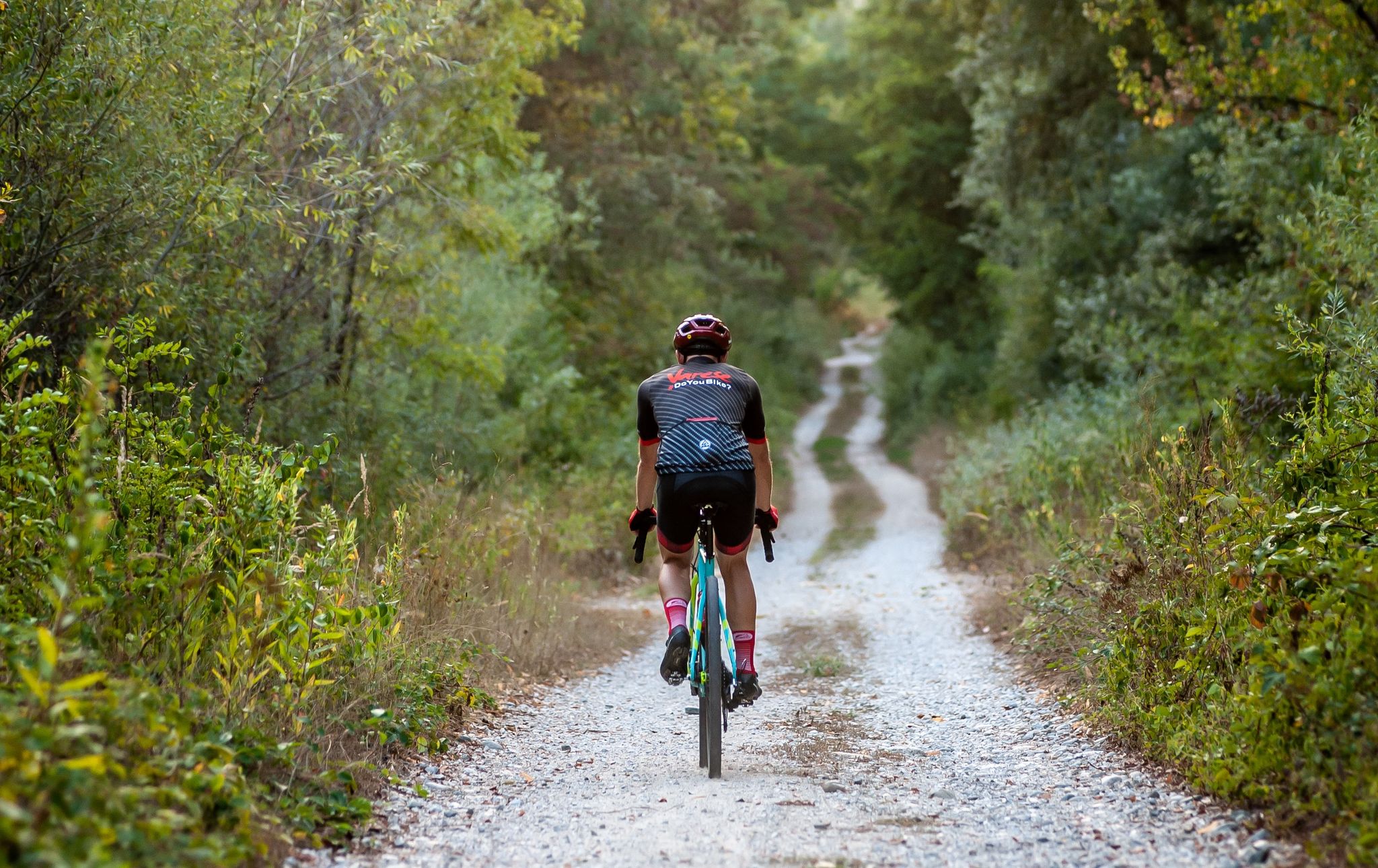
One of the most beautiful tree-lined avenues in the Varese area. It flows onto the SP69 (Angera-Ispra) and connects La Quassa and further on, the long lake of Ispra. I recommend gravel bikes.
0
0

The Gulf of Quassa, located between Ranco and Ispra on Lake Maggiore, is an area of considerable ecological and landscape importance. It is characterized by sandy seabeds unusual for the region, the result of the Quaternary glaciations which left erratic boulders and moraines. The area is poorly urbanized and has significant agricultural activities. In the past, the gulf was marshy, but reclamation efforts have preserved its semi-naturalness. In the 1970s, it was the site of the isolation of the last Varese nucleus of the European pond turtle. Ranco and Ispra are promoting the creation of a Local Park of Supra-municipal Interest to preserve the landscape, develop sustainable and ecotourism by involving the surrounding municipalities. The plan envisages the southward expansion of Monte San Quirico, the Rocca Borromea, and the Bruschera marsh, while to the north it would include the Golden Sands, the Laghetasc pond and the Bozza marsh. The main objective is to conserve the landscape heritage and promote ecological tourism in the region.
0
0

Undemanding path, also suitable for gravel.
0
0
The Gulf of Quassa is one of the jewels of Lake Maggiore located between Ranco and Ispra, thanks to its unique northern exposure. The park, founded in 2010, preserves a semi-natural environment rich in history and geology.
1
1
Frequently Asked Questions
How many bus station hiking trails are available around Lago di Monate?
There are over 50 hiking routes around Lago di Monate that are easily accessible from bus stations. These trails offer a mix of easy and moderate options, ensuring there's something for every hiker.
Are there any easy, family-friendly routes accessible by bus around Lago di Monate?
Yes, Lago di Monate offers several easy, family-friendly routes. A great option is the Fornaci – Lake Comabbio loop from Travedona Monate, which is an easy 6.4 km hike perfect for a relaxed outing. Another gentle choice is the Hiking loop from Travedona Monate, covering about 4.7 km.
Can I find circular hiking routes starting from a bus stop in the Lago di Monate area?
Absolutely. Many trails in the region are designed as circular routes, making them convenient for public transport users. For example, the Lago di Comabbio – Brabbia Canal loop from Ternate is an easy 7.14 km circular hike that starts and ends near bus stops.
What kind of landscapes can I expect to see on bus-accessible hikes around Lago di Monate?
The region boasts diverse and serene landscapes. You'll encounter lush forests, rolling morainic hills, and tranquil lakeside paths. Many routes offer continuous scenic views of Lago di Monate, known for being one of Italy's cleanest lakes, and often connect to nearby natural parks like Parco Lombardo della Valle del Ticino.
Are there any trails that feature waterfalls or other unique natural features?
Yes, for those seeking specific natural attractions, the area around Lago di Monate includes routes that lead to waterfalls. While not directly listed in the provided routes, the region is known for curated waterfall hikes, such as the Erno Waterfall loops, offering sights of cascades and serene streams within the broader network of trails.
What is the best time of year to go hiking around Lago di Monate using public transport?
The best time for hiking around Lago di Monate is generally from spring through autumn. During these seasons, the weather is pleasant, and the natural beauty of the lush landscapes and tranquil waters is at its peak. Public transport services are also typically more frequent and reliable during these months.
Are there any longer, more challenging bus-accessible hikes for experienced hikers?
For hikers looking for a moderate challenge, the Monte Pelada Trail is an excellent option. This 15.2 km route offers wooded paths and glimpses of Lake Comabbio, providing a more extensive and rewarding experience within the Parco Lombardo della Valle del Ticino.
What do other hikers say about the trails around Lago di Monate?
The komoot community highly rates the hiking experiences around Lago di Monate, with an average score of 4.2 out of 5 stars from over 4,300 ratings. Reviewers often praise the area's unspoiled natural beauty, the variety of well-maintained trails, and the peaceful ambiance of the lakes and forests.
Are there any trails connecting to other lakes from Lago di Monate that are accessible by bus?
Yes, the region features an extensive network of pedestrian and cycling trails that connect Lago di Monate to nearby lakes such as Lake Varese and Lake Comabbio. These routes, like the Lake Comabbio Cycle Path – Lago di Comabbio Footbridge loop from Ternate, offer amazing landscapes and often include charming small wooden bridges.
Do I need a permit to hike the bus-accessible trails around Lago di Monate?
Generally, no specific permits are required for hiking on the public trails around Lago di Monate. The area is freely accessible for outdoor activities. However, it's always good practice to respect local regulations and private property signs.
Are the bus-accessible trails around Lago di Monate suitable for dogs?
Many trails around Lago di Monate are dog-friendly, allowing you to enjoy the natural beauty with your canine companion. It's always recommended to keep dogs on a leash, especially in protected areas or near wildlife, and to carry waste bags to maintain the cleanliness of the trails.
Most popular routes around Lago di Monate

Get inspired with the komoot mobile app


Explore more
Browse the best Hikes in other regions.
