The 20 Most Amazing Peaks around National Park Posets-Maladeta
Best mountain peaks around National Park Posets-Maladeta are located in the Aragonese Pyrenees, a region characterized by its majestic peaks and glacial formations. This natural park features over 45 peaks exceeding 3,000 meters in altitude, including the highest in the Pyrenees. The landscape is defined by high-mountain terrain, numerous ibones (mountain lakes), and challenging climbs. It offers diverse options for outdoor activities, from trekking to mountaineering.
Best mountain peaks around National Park Posets-Maladeta
- The most popular mountain peaks is Salvaguardia…
Last updated: October 11, 2026
Picada Pass
Highlight • Mountain Pass
very beautiful, with unbeatable views of the north face of Maladeta.
The path is well defined …
Translated by Google •
Tip by

Pico de Aneto Summit
Highlight • Summit
Translated by Google •
Tip by

Sign up now to discover places like this
Get recommendations on the best single tracks, peaks, & plenty of other exciting outdoor places.
Salvaguardia Peak
Highlight • Summit
To Puerto de Benasque good trails. Also suitable for …
Translated by Google •
Tip by

Perdiguero Peak
Highlight • Summit
Translated by Google •
Tip by

Mahoma Pass
Highlight • Climb
Translated by Google •
Tip by
Sign up for free to discover even more peaks around National Park Posets-Maladeta.
Already have an account?
Start today with a free account
Your next adventure awaits.
Popular around National Park Posets-Maladeta

Panoramic Pyrenees – 15 hikers' peaks of over 3,000 metres

Haute Route Pyrénéenne – Pyrenees Crossing
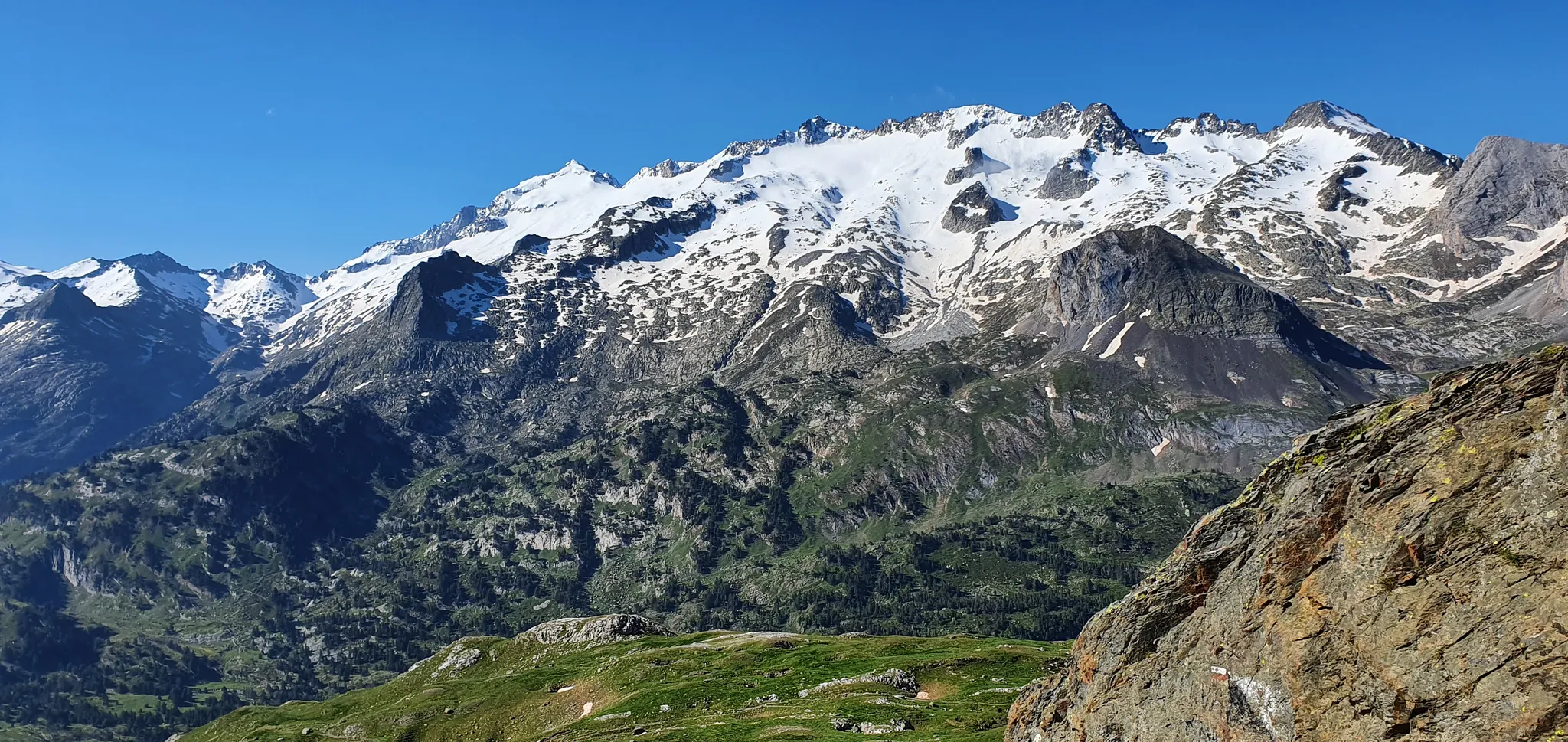
From the Queen to the King of the Pyrenees – a spectacular loop from Luchon
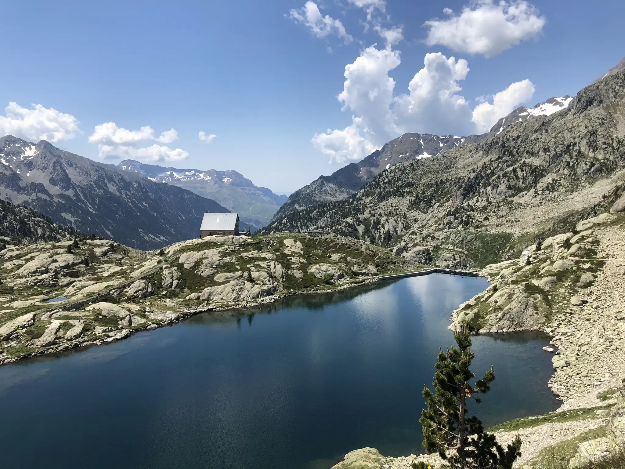
Aragon along the Pyrenean Trail – GR 11
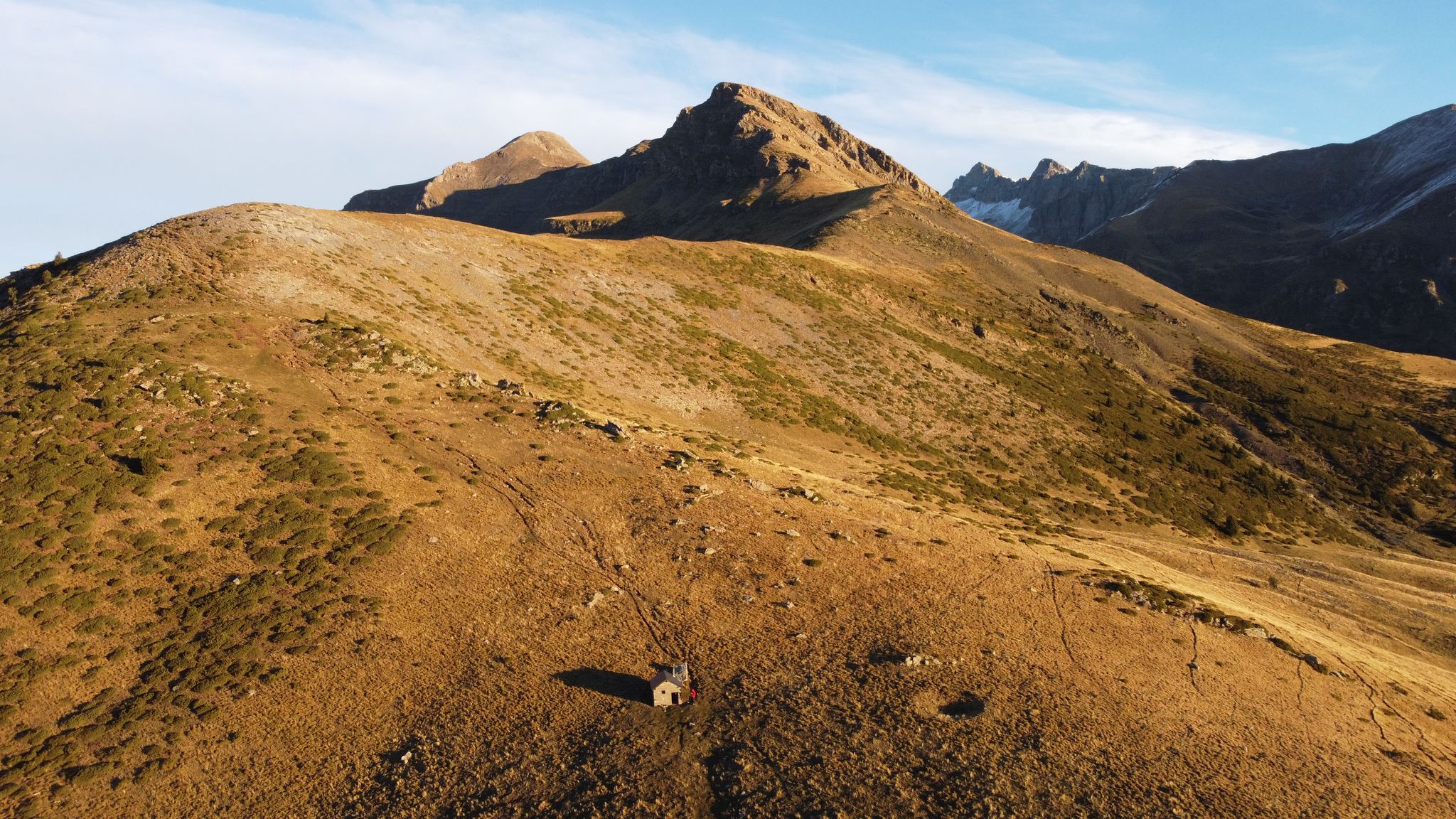
Rutas de alta montaña en el municipio de Sahún — Valle de Benasque
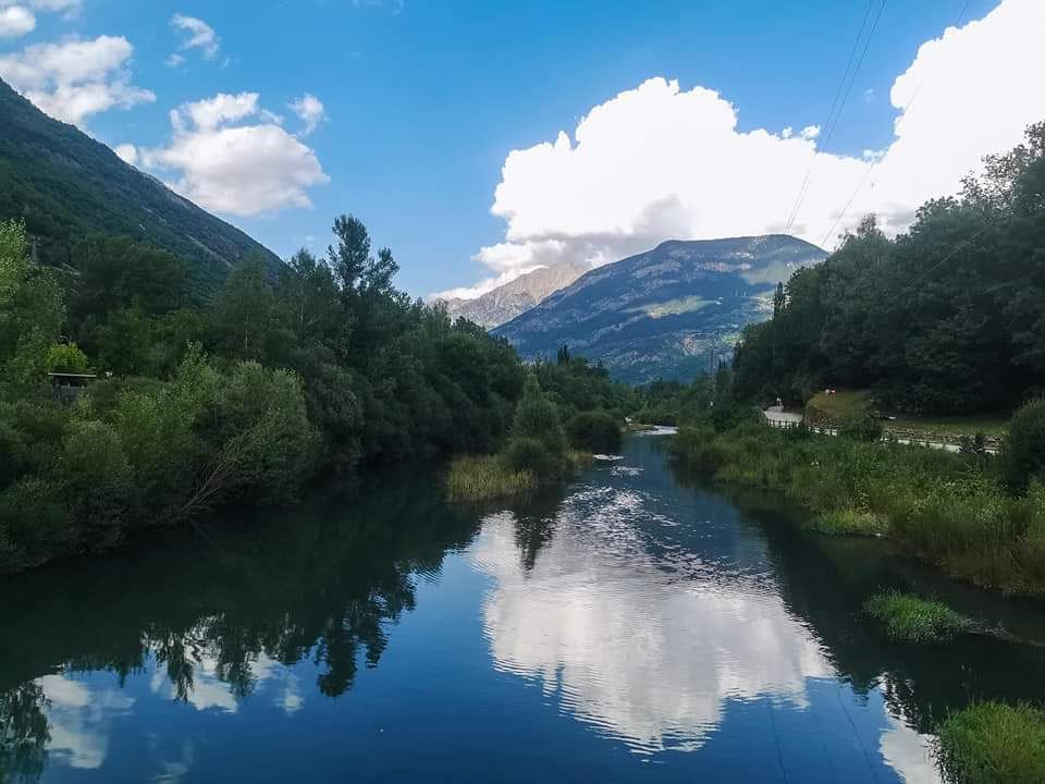
Pequeños recorridos en el municipio de Sahún — Valle de Benasque
Senderos desde Eriste — Valle de Benasque
Hiking around National Park Posets-Maladeta
Running Trails around National Park Posets-Maladeta
MTB Trails around National Park Posets-Maladeta
Other adventures around National Park Posets-Maladeta


Tips from the Community

The highest peak in the Pyrenees mountaineering region.
1
0

The highest peak in the Pyrenees and the one everyone wants to climb. Its demands are more physical than technical, with the exception of the Mahoma Pass, not suitable for those with vertigo, and the Aneto Glacier, which is recommended to avoid in the middle of summer when the hard centuries-old ice is exposed and landslides increase due to melting. At the top you will find a gigantic metal cross, a statue of the Virgen del Pilar and a small bust of San Marsial, patron saint of Benasque. Each of them installed by different groups that want to make their own a piece of this colossus that, although it is difficult to believe, went unnoticed for centuries in the shadow of the apparently more prominent Tuca de la Maladeta (from the Occitan "Mall Hita", the 'high peak').
1
0

Culminating at 3,222 meters above sea level, the Perdiguère peak dominates a magnificent ridge that includes several peaks exceeding 3,000 meters. Located on the Franco-Spanish border, it dominates the massif of the same name offering an absolutely incredible 360 degree panorama.
2
0

Aneto is the highest peak in the Pyrenees and the second highest in the Iberian Peninsula, with an altitude of 3,404 meters above sea level. It is located in the Posets-Maladeta Natural Park, in the Spanish municipality of Benasque, province of Huesca, autonomous community of Aragon. It is part of the Maladeta massif and, located in the Benasque valley, is made up of Paleozoic terrain of granitic nature and Mesozoic materials. On its northern face, starting at approximately 2810 m, is the largest glacier in the Pyrenees, with about 100 hectares of surface, which is, like many in the world, in clear regression as a consequence of climate change (it is estimates that in the last 100 years it has lost more than half of its surface, and that in 30 or 40 years it may disappear).
2
0

The Aneto, roof of the Pyrenees and watchtower over the park, is a symbol and a challenge for mountaineers who come to this natural park to climb to 3404 meters high. The most frequented routes are the one on the north side from Besurta, and the one on the south side from the Coronas bridge to Vallibierna.
3
0
A horizontal passage of 40 meters in length and with considerable verticality on both sides, separates the summit from the summit. It is also the last difficulty we will have to overcome before reaching Aneto. Albert de Franqueville, one of the first men to summit the Aneto, was the one who gave this name to this part of the mountain: "Fineer than a hair and sharper than a saber", that is the bridge of Muhammad according to the legend: the entrance to Paradise, at the top of the Aneto, for the eyes of Franqueville. The factors for which this step is dangerous are: - The verticality on both sides of the step and the inevitable feeling of vertigo. A fall is fatal. - In some sections you have to use your hands to move forward. - The possible density of people crossing the pass. All mountaineers who climb Aneto must cross this pass twice: to go there and to return. There are points on the Muhammad Bridge where two people cannot cross. Be patient. - The possible presence of water, ice and snow, which can make the passage slippery. - Vulnerability to lightning strikes in the event of a storm. For these reasons, it is not necessary to do this section of the ascent if it is not completely safe, nor to force anyone to go through it. Accumulated fatigue and nerves are a bad combination that can end in fatality.
3
1

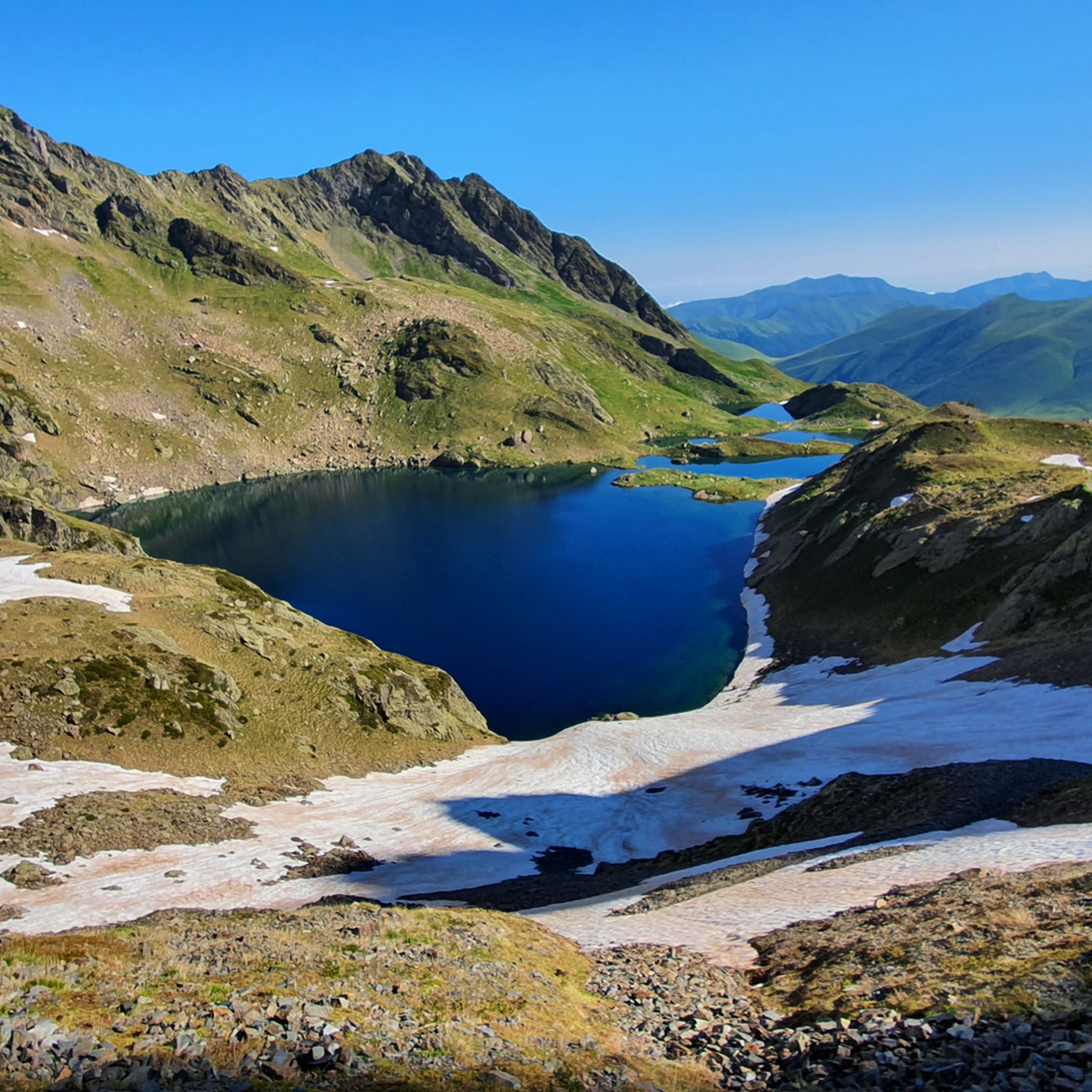
From the Benasque Hospital to Puerto de la Picada, it is a simple and very beautiful, with unbeatable views of the north face of Maladeta. The path is well defined and marked by milestones until reaching Port de la Picada itself. It goes up gently in a zigzag pattern until it reaches the Basetas del Portillón, small lakes that can sometimes be found dry. From here, we turn right, looking for an easterly orientation to overcome the last slope that leaves us at Port de la Picada. On the other side, you can see small lakes called Bom des Clòts de Lunfèrn and the Valley that descends towards Artiga de Lin (Vall d'Aran).
1
0

The Perdiguero massif and the peak with the same name are the third highest of the area after Aneto and Posets. You can access it's summit from the Estós Valley in one bug oush or by spending the night in the refuge.
1
0
Frequently Asked Questions
What are some of the most popular mountain peaks to visit in National Park Posets-Maladeta?
The region is home to many impressive peaks. Among the most popular are Salvaguardia Peak, known for its phenomenal panoramic views and accessible trails, and Pico de Aneto Summit, the highest peak in the Pyrenees offering a significant mountaineering challenge.
Are there any mountain passes with exceptional views in the park?
Yes, Picada Pass offers a simple yet beautiful route with unbeatable views of the north face of Maladeta. The path is well-defined and leads to small lakes, providing a scenic experience.
What is the highest peak in the Pyrenees, and what should I know about climbing it?
Pico de Aneto Summit, at 3,404 meters, is the highest peak in the Pyrenees. The ascent is physically demanding and includes the notable Mahoma Pass, a narrow, exposed ridge that requires caution and is not suitable for those with vertigo. It's recommended to avoid the Aneto Glacier in mid-summer when hard ice is exposed.
Which peak offers an incredible 360-degree panorama on the Franco-Spanish border?
Perdiguero Peak, standing at 3,222 meters, is located on the Franco-Spanish border and provides an absolutely incredible 360-degree panorama. It's a challenging climb, often accessed from the Estós Valley, and is popular among experienced mountain enthusiasts.
Are there family-friendly mountain options or accessible trails in the National Park Posets-Maladeta?
While many peaks are challenging, Salvaguardia Peak has trails that are considered suitable for children and dogs, though a narrow section with a steel cable requires careful attention. The path to Picada Pass is also described as simple and beautiful, offering a less strenuous option with great views.
What kind of natural features can I expect to see in the Posets-Maladeta Natural Park?
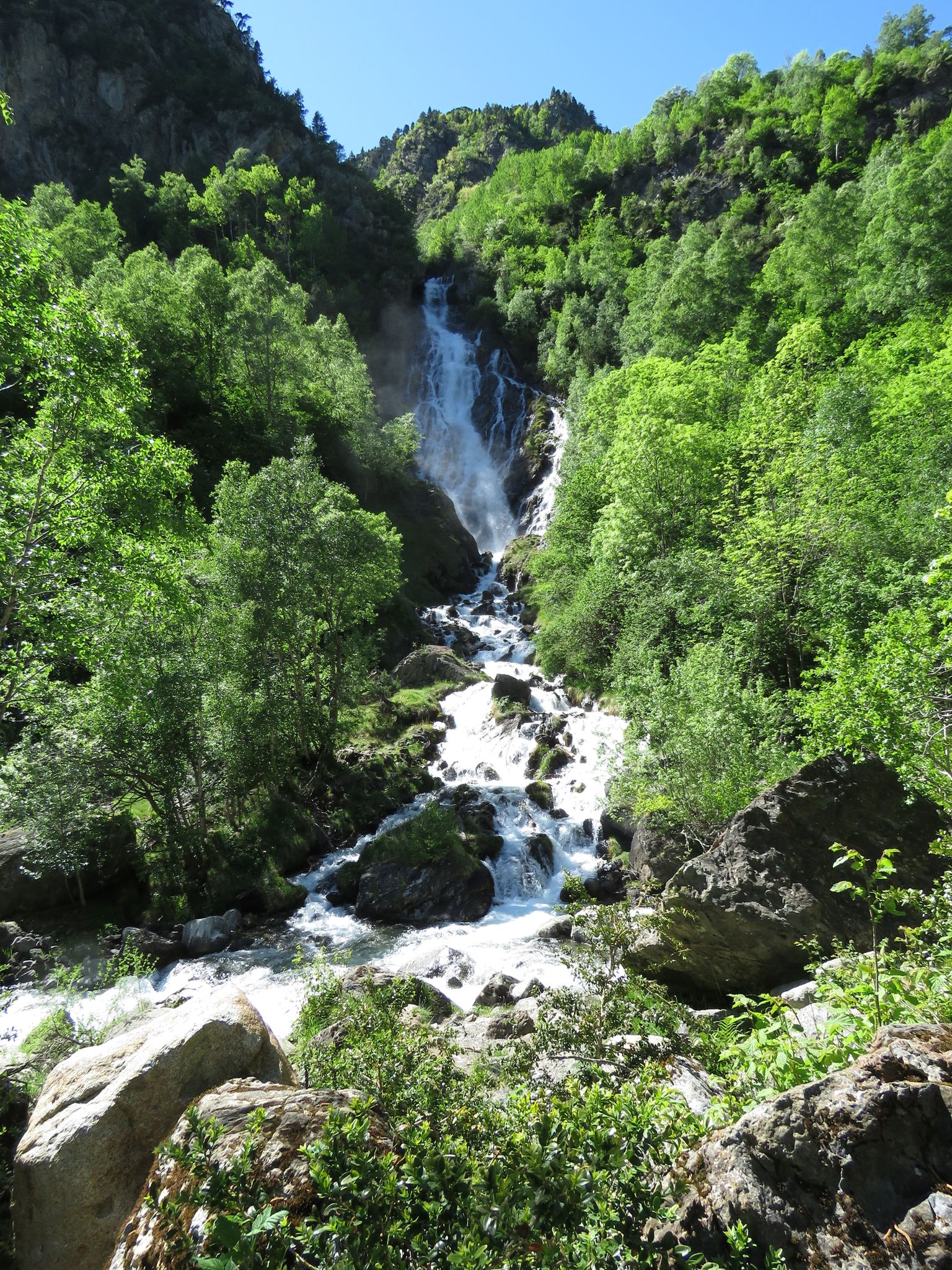
The park is characterized by majestic peaks, glacial formations, and over 45 summits exceeding 3,000 meters. You'll find numerous ibones (mountain lakes), impressive waterfalls like the Forau d'Aigüalluts, and diverse high-mountain terrain. The northern slopes of Aneto host the largest glacier in the Pyrenees, though it is shrinking.
What outdoor activities can I do near the mountain peaks in National Park Posets-Maladeta?
The region offers a wide range of outdoor activities. You can explore various waterfall hikes, including routes to Ibones de Batisielles or the Besurta - Renclusa - Aiguallut Circular Trail. For cyclists, there are options for touring bicycle routes and challenging MTB trails.
Are there specific hiking trails recommended for exploring the area?
Yes, there are many hiking opportunities. For example, the Waterfall hikes around National Park Posets-Maladeta guide features routes like the Ibones de Batisielles and Escarpinosa Trail, and the Gorgas de Alba Botanical Trail. The GR-11 long-distance trail also passes through sections of the park.
What is Pico Posets, and what makes it a notable climb?
Pico Posets, also known as Punta de Llardana, is the second-highest peak in the Pyrenees at 3,369 meters. It offers exceptional 360-degree views due to its independent position. The ascent typically starts from the Ángel Orús refuge and often takes two days, with the route through Canal Fonda frequently having snow and ice, requiring crampons and an ice axe.
What is the best time to visit the mountain peaks in National Park Posets-Maladeta?
The best time to visit largely depends on your activity. For mountaineering and high-altitude hiking, late spring to early autumn (June to September) generally offers the most favorable conditions, though snow and ice can persist year-round at higher elevations. Always check current weather and trail conditions before heading out.
What should I know about the Mahoma Pass on Pico de Aneto?
The Mahoma Pass is a critical and challenging section of the ascent to Pico de Aneto Summit. It's a 40-meter horizontal passage with significant vertical drops on both sides, requiring careful movement and sometimes ropes. It's not recommended for those with vertigo, and conditions like ice, snow, or crowds can increase its difficulty.
Most popular routes around National Park Posets-Maladeta
Most popular attractions around National Park Posets-Maladeta

Get inspired with the komoot mobile app


Explore more
See even more amazing summits around National Park Posets-Maladeta with these guides:
