The best hikes from bus stations around Réserve naturelle de l'estuaire de la Seine
4.4
(2279)
15,909
hikers
287
hikes
Hiking around Réserve naturelle de l'estuaire de la Seine offers diverse landscapes shaped by the Seine River and tidal influences. The region features extensive mudflats, salt meadows, and reedbeds, alongside wet meadows and sandy or pebble shores. These environments create a unique estuarine setting, with the impressive Pont de Normandie serving as a prominent landmark. The terrain includes both flat, accessible paths and routes with moderate elevation changes, providing varied hiking experiences.
Best bus station hiking trails around Réserve naturelle…
Last updated: November 12, 2026
5.0
(3)
14
hikers
5.86km
01:42
150m
150m
Easy hike. Easily walkable paths.
3.8
(6)
29
hikers
9.87km
02:29
10m
10m
Moderate hike. Good fitness required. Easily walkable paths.

3.3
(3)
24
hikers
5.65km
01:38
140m
140m
Easy hike. Easily walkable paths.
4.0
(3)
26
hikers
Easy hike. Easily walkable paths.
6
hikers
10.3km
02:49
160m
170m
Moderate hike. Good fitness required. Easily walkable paths.
Get access to more routes and recommendations from other explorers.
Already have an account?
Our route recommendations are based on thousands of hikes, rides, and runs completed by other people on komoot.
Start today with a free account
Your next adventure awaits.
Tips from the Community

It goes about 1km uphill at a constant 6%, and on the other side about 1km downhill at 6%. And the architecture of the bridge is impressive, the view in good weather is great. I was very surprised that there is a bike lane, because it is perhaps only 1-1.2m wide, and separated from car and truck traffic, which rushes by at 80-90 km/h, only by a white line on the asphalt. Certainly no cycling pleasure. And with the quite strong winds that can make you wobble, it's not entirely safe either. Next to it, there is an almost equally narrow footpath, but it is separated from the roadway by a curb (at least). The crossing of the bridge is (would be) certainly a highlight of any bike tour, but the incredibly narrow strip next to the fast-flowing traffic makes it no real pleasure.
0
0

A serious WARNING to all cyclists. I found the crossing life-threatening. The cycle path is approx. 1 m wide, only color-marked and at intervals of 1.5 to 2 m, trucks thunder past, gaining speed to climb the bridge. The footpath is bordered by a curb and does not make the crossing any less dangerous. Side winds and headwinds on the incline made me sway considerably. If you have to cross: PLEASE WALK YOUR BIKE!
1
0
I really would NOT recommend cycling across this bridge ESPECIALLY in high wind circumstances. Even though it cuts 43 miles of route on the Velomaritime and gives you an exhilarating thrill, it is not really safe and the cycle path that follows to the ports is noisy, industrial and often in to a very strong headwind off the sea. Go the longer way if at all possible!
0
0

descent is dangerous due to landslide but possible
1
0


Faced with the rapid increase in road traffic, the idea of a second bridge connecting the two banks of the Seine was born in 1972. The Normandy Bridge, which was opened on 26 January 1995, is a true engineering feat: 2141.25 m long, 23.60 m wide, pylons 214 m high, 7 years of work... and 10 million hours of work.
2
0


Frequently Asked Questions
How many bus station accessible hiking trails are available in the Réserve naturelle de l'estuaire de la Seine?
There are over 300 hiking trails in the Réserve naturelle de l'estuaire de la Seine that are accessible from bus stations. These routes cater to various skill levels, with 160 easy, 135 moderate, and 11 difficult options.
What kind of landscapes can I expect to see on bus-accessible hikes in the Réserve naturelle de l'estuaire de la Seine?
The Réserve naturelle de l'estuaire de la Seine offers a unique blend of terrestrial and marine environments. You can expect to encounter diverse landscapes such as mudflats, salt meadows, ponds, reedbeds, wet meadows, and sandy and pebble shores. The impressive Pont de Normandie also serves as a prominent landmark visible on many routes.
Are there any easy, family-friendly hikes accessible by bus?
Yes, there are many easy routes suitable for families. For example, the Ivy Chapel – Beautiful place loop from Villerville is an easy 6 km hike. The reserve also features six dedicated educational trails, often marked and with information points, which are generally suitable for all skill levels.
What are some notable points of interest or attractions along bus-accessible hiking routes?
Along the bus-accessible routes, you can explore several points of interest. The Reserve Visitor Center (Maison de la Réserve) is a great starting point, offering insights into the estuary's ecosystem. You might also encounter the Pont de Normandie Cycle Path and the unique reed beds of the Seine estuary.
What is the best time of year to go hiking in the Réserve naturelle de l'estuaire de la Seine?
The reserve is beautiful year-round, but spring and autumn are particularly rewarding for hiking and wildlife observation, especially birdwatching. During these seasons, you can witness migratory birds and enjoy milder temperatures. Guided tours are organized year-round from the Maison de la Réserve.
Can I bring my dog on the hiking trails in the Réserve naturelle de l'estuaire de la Seine?
While the region is generally welcoming to outdoor enthusiasts, specific regulations for dogs within the Réserve naturelle de l'estuaire de la Seine can vary. It is advisable to keep dogs on a leash to protect the sensitive wildlife and natural habitats, especially in areas with ground-nesting birds or seals. Always check local signage for specific restrictions.
Are there any circular hiking routes accessible from bus stops?
Yes, many of the trails are designed as loops, making them convenient for bus access as you can start and end at the same point. An example is the moderate Villerville Beach – Pointe du Heurt loop from Villerville, which offers coastal views.
What kind of wildlife can I expect to see while hiking?
The reserve is a biodiversity hotspot. Hikers can observe over 300 species of birds, including the Eurasian bittern and spoonbill, nearly 50 species of mammals such as seals, and 13 species of amphibians. Birdwatching is particularly rewarding, especially during early mornings or late afternoons.
What do other hikers say about the trails in the Réserve naturelle de l'estuaire de la Seine?
The area is highly rated by the komoot community, with an average score of 4.5 stars from over 1,700 ratings. Reviewers often praise the diverse landscapes, the opportunities for wildlife observation, and the well-maintained network of paths.
Are there any longer, more challenging bus-accessible hikes?
Yes, for those seeking a more challenging experience, there are longer routes available. The Trouville Beach – Deauville Town Hall loop from Villerville is a difficult 19 km hike with significant elevation gain, offering extensive coastal and town views.
Where can I find more information about the Réserve naturelle de l'estuaire de la Seine?
For detailed information about the reserve's ecology, visitor guidelines, and educational programs, you can visit the official tourism website for the area: lehavre-etretat-tourisme.com. This resource can provide additional context for your visit.
Most popular routes around Réserve naturelle de l'estuaire de la Seine
Most popular attractions around Réserve naturelle de l'estuaire de la Seine
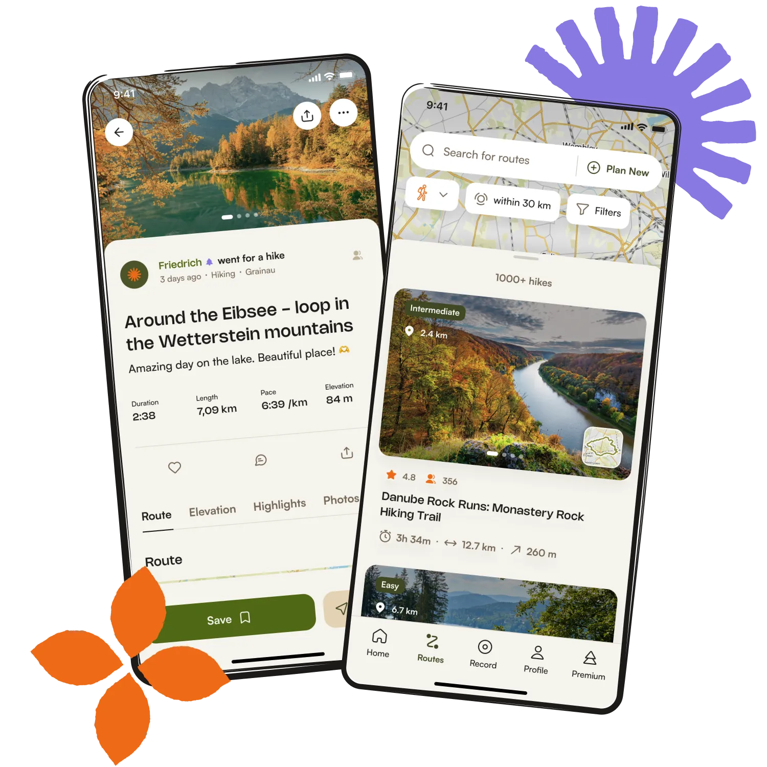
Get inspired with the komoot mobile app


Explore more
Browse the best Hikes in other regions.