The best traffic-free bike rides around Réserve naturelle du Tanet-Gazon-du-Faing
4.2
(71)
516
riders
27
rides
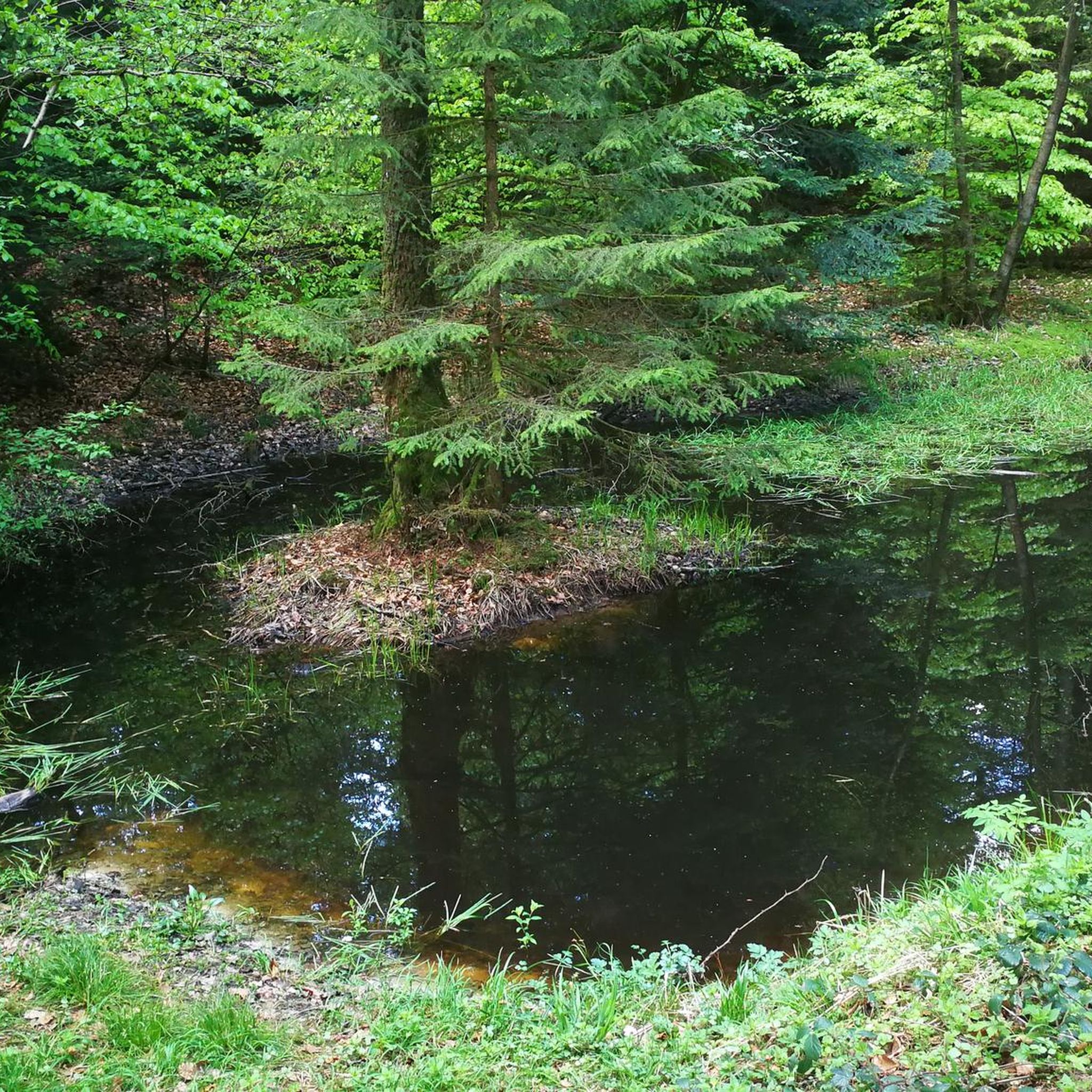
Gravel biking around Réserve naturelle du Tanet-Gazon-du-Faing offers diverse terrain within the Vosges mountain range. The region is characterized by high-moorlands and peat bogs at higher elevations, transitioning into dense mountain forests of beech, fir, and spruce at lower altitudes. Granitic rock formations are present along the ridge, providing varied surfaces for cycling. This landscape provides a mix of challenging ascents and scenic routes suitable for gravel bikes.
Best no traffic gravel bike trails around Réserve naturelle du Tanet-Gazon-du-Faing
- The most popular no traffic gravel bike trail is Bikepark Lac Blanc – Lac Blanc loop from Rocher Hans, a 14.3 miles (23.1 km) trail that takes 2 hours 18 minutes to complete. This difficult route explores the area around Lac Blanc, offering varied terrain and views.
- Another top favourite among local gravel bikers is Black Lake – Lac Blanc loop from Pairis, a moderate 8.9 miles (14.4 km) path. This route provides a scenic loop around the lakes, combining forest sections with open views.
- Local gravel bikers also love the Munster – Munster Protestant Church loop from Muhlbach-sur-Munster, a 37.4 miles (60.2 km) trail leading through mountain forests and valleys, often completed in about 4 hours 21 minutes.
- Gravel biking around Réserve naturelle du Tanet-Gazon-du-Faing is defined by high-moorlands, dense mountain forests, and granite rock formations. The network offers options for different ability levels, from moderate paths to more challenging ascents.
- The routes in Réserve naturelle du Tanet-Gazon-du-Faing are highly rated by the komoot community with an average score of 4.2 stars from more than 50 reviews. More than 400 gravel bikers have used komoot to explore Réserve naturelle du Tanet-Gazon-du-Faing's varied terrain.
Last updated: July 12, 2026
4.0
(2)
5
riders
23.1km
02:18
720m
720m
Hard gravel ride. Very good fitness required. You may need to push your bike for some segments of this route.
3.0
(1)
6
riders
14.4km
01:20
440m
440m
Moderate gravel ride. Good fitness required. Mostly paved surfaces. Suitable for all skill levels.

Sign up for free
3.0
(1)
36
riders
60.1km
04:22
1,330m
1,330m
Hard gravel ride. Very good fitness required. Mostly paved surfaces. Suitable for all skill levels.
4
riders
48.2km
03:41
1,120m
1,110m
Hard gravel ride. Very good fitness required. Mostly paved surfaces. Suitable for all skill levels.
4.3
(8)
18
riders
32.7km
02:40
1,020m
1,030m
Hard gravel ride. Very good fitness required. Mostly paved surfaces. Suitable for all skill levels.
Get access to more routes and recommendations from other explorers.
Sign up for free
Already have an account?
Our route recommendations are based on thousands of hikes, rides, and runs completed by other people on komoot.
Start today with a free account
Your next adventure awaits.
Login or Signup
Popular around Réserve naturelle du Tanet-Gazon-du-Faing

Tips from the Community

Nice place to sit on the benches. And there is a snack bar and a (dirty) toilet building
0
0

Historically an absolute must
0
0

The vastness and the quiet leave a beautiful story in your mind.
0
0

Aubure, the highest village in Alsace, is located at an altitude of 800 m on a bowl-shaped plateau overlooking the Alsatian plain, at the crossroads of the highest points of three valleys: Sainte-Marie-aux-Mines to the north, Lapoutroie and Kaysersberg to the south, and Ribeauvillé to the east. Protected from the west winds by the Brézouard massif, the village benefits from a unique microclimate. Thanks to this microclimate and its mountain location, Aubure became known from the late 19th century as a health resort for air cures, with hotels and sanatoriums emerging alongside traditional guesthouses. (https://aubure.fr)
1
0

very rocky and bumpy, slippery when wet
0
0

Eyes wander, little hands nibble... everywhere are the most delicious, sweetest grapes ever!
0
0

Vineyards wherever you look - a unique sight.
7
0

The upper city gate, the Dolder (1291), was built at the same time as the first fortifications at the end of the 13th century and served as a defensive tower, watchtower, and bell tower. In Alsatian, "Dolder" means "highest point, peak." At 25 meters high, this tower threatened the enemy with the stark and warlike appearance of its exterior, while the inner facade, facing the city, had delighted the inhabitants since the 16th century with its attractive arrangement of wooden beams and four corbelled vaults. Its first level formed one of the starting points of the patrol path that ran along the top of the ramparts around the city.
9
0
Frequently Asked Questions
How many no-traffic gravel bike trails are available in Réserve naturelle du Tanet-Gazon-du-Faing?
There are over 20 no-traffic gravel bike trails in the Réserve naturelle du Tanet-Gazon-du-Faing area. These routes offer a variety of experiences, with 7 classified as moderate and 16 as difficult, ensuring options for different skill levels.
What kind of terrain can I expect on the no-traffic gravel trails in this region?
The trails traverse a diverse landscape, from high moorlands and unique peat bogs at higher elevations to dense mountain forests of beech, fir, and spruce. You'll also encounter granitic rock formations and wide paths, providing varied surfaces suitable for gravel biking. The terrain ranges from 1,160 to 1,300 meters above sea level, offering both challenging climbs and scenic descents.
What is the best time of year for gravel biking in Réserve naturelle du Tanet-Gazon-du-Faing?
The best time for gravel biking is generally from late spring to early autumn (May to October). During these months, the weather is more stable, and the high moorlands and forests are at their most vibrant. Winter can bring snow and ice, making many trails impassable or requiring specialized equipment.
Are there any specific viewpoints or natural sights worth visiting on a gravel ride?
Absolutely! The region is rich in natural beauty. You can enjoy stunning panoramic views from prominent peaks like Le Tanet Summit and Gazon du Faing. The Taubenklangfelsen Viewpoint also offers magnificent vistas. The eastern slopes provide views over glacial lakes such as Lac des Truites, Lac Noir, and Lac Blanc, adding to the scenic appeal.
Are there family-friendly no-traffic gravel routes in the area?
While many routes are classified as moderate to difficult, the diverse network includes paths that can be enjoyed by families with some cycling experience. For example, the Black Lake – Lac Blanc loop from Pairis is a moderate option that offers beautiful scenery without extreme technical challenges, making it suitable for more adventurous families.
Where can I park my car to access these gravel trails?
Parking is available at various access points around the reserve. Popular starting points often include areas near the Col du Calvaire or around Lac Blanc, which provide good access to the trail network. Specific parking details can often be found on individual route descriptions on komoot.
Can I find cafes or places to refuel along the gravel routes?
While the reserve itself is a natural area, there are small villages and mountain inns (fermes-auberges) in the surrounding valleys and near popular access points like Lac Blanc or Col de la Schlucht where you can find refreshments and local cuisine. It's always a good idea to check opening hours, especially outside of peak season.
What do other gravel bikers enjoy most about riding in Réserve naturelle du Tanet-Gazon-du-Faing?
The area is highly rated by the komoot community, with an average score of 4.2 stars. Reviewers often praise the stunning panoramic views, the unique high moorland landscapes, and the quiet, immersive experience of riding through diverse mountain forests. The feeling of being truly 'away from traffic' is a frequently highlighted positive.
Are there any circular gravel routes available?
Yes, many of the gravel routes in the region are designed as loops, allowing you to start and finish at the same point. An example is the Bikepark Lac Blanc – Lac Blanc loop from Rocher Hans, which offers a challenging but rewarding circular ride through varied terrain.
What wildlife might I encounter while gravel biking?
The reserve is home to diverse wildlife. You might spot deer, chamois, and roe deer in the forests. Birdwatchers could be lucky enough to see species like the black woodpecker, Western Capercaillie, or Boreal Owl. Peregrine falcons also inhabit the cliffs overlooking Alsace. Remember to observe wildlife from a distance and respect their natural habitat.
Is public transport a viable option to reach the gravel trails?
Public transport options directly to the heart of the reserve are limited due to its natural and high-altitude location. However, regional buses might serve nearby towns in the valleys, from which you could cycle to the trailheads. Planning your journey in advance and checking local bus schedules is recommended if you plan to use public transport.
What are the regulations for gravel biking within the Réserve naturelle du Tanet-Gazon-du-Faing?
As a protected natural reserve, it's important to respect local regulations. Stick to marked trails, do not disturb wildlife, and carry out all your waste. Cycling off-trail is generally prohibited to protect sensitive ecosystems like the peat bogs and high moorlands. Always check for specific signage or local guidelines upon arrival.
Most popular routes around Réserve naturelle du Tanet-Gazon-du-Faing
Most popular attractions around Réserve naturelle du Tanet-Gazon-du-Faing

Get inspired with the komoot mobile app


Explore more
Browse the best Gravel rides in other regions.
