Réserve Naturelle de la Loire Bourguignonne
Réserve Naturelle de la Loire Bourguignonne
The best hikes from bus stations around Réserve Naturelle de la Loire Bourguignonne
4.6
(57)
308
hikers
24
hikes
Bus station hiking trails around Réserve Naturelle de la Loire Bourguignonne offer access to a dynamic riverine environment shaped by the Loire, often referred to as Europe's last wild river. The landscape features sandy beaches, gravel islands, and alluvial forests, with oxbow lakes and ponds providing diverse habitats. While much of the reserve is protected, trails running alongside it allow for exploration of its natural features and biodiversity.
Best bus station hiking trails around Réserve Naturelle de la Loire Bourguignonne
…Last updated: July 12, 2026
4.8
(5)
24
hikers
9.90km
02:33
50m
50m
Moderate hike. Good fitness required. Easily-accessible paths. Suitable for all skill levels.
4.0
(1)
8
hikers
6.01km
01:31
10m
10m
Easy hike. Great for any fitness level. Easily-accessible paths. Suitable for all skill levels.

Sign up for free
4.5
(2)
5
hikers
9.04km
02:21
60m
60m
Moderate hike. Good fitness required. Easily-accessible paths. Suitable for all skill levels.
5.0
(1)
4
hikers
16.8km
04:17
60m
60m
Moderate hike. Good fitness required. Easily-accessible paths. Suitable for all skill levels.
2
hikers
4.32km
01:06
10m
10m
Easy hike. Great for any fitness level. Easily-accessible paths. Suitable for all skill levels.
Get access to more routes and recommendations from other explorers.
Sign up for free
Already have an account?
Our route recommendations are based on thousands of hikes, rides, and runs completed by other people on komoot.
Start today with a free account
Your next adventure awaits.
Login or Signup
Popular around Réserve Naturelle de la Loire Bourguignonne
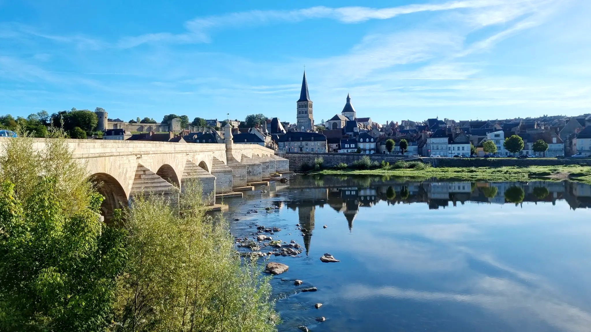
Other adventures around Réserve Naturelle de la Loire Bourguignonne

Tips from the Community

Beautiful picnic spot on the Loire with a barbecue area and access to the nature reserve. There is an opportunity for bivouacking at the picnic spot. Trash cans available. No drinking water
0
0

The cycle path on the dam is sometimes a bit "tough". The views of the Loire radiate tranquility.
1
0
Simply a great spot – a beautiful view of the Loire. The wooden statues are original. A lovely bike path!
0
0

If you leave the EV3 for a few kilometers, you will reach this artists' oasis. Very relaxed people serve here and create a resting point on the bike tour.
0
0

Excellent petit café/épicerie. I stopped here at 9:15am, had an homemade pie and a nice tea. They also have a terrasse in the garden
0
0

In the small Loire hamlet of Thareau, picnic tables are available for a pleasant break. Alongside them, wooden sculptures arouse the curiosity of walkers.
1
0
Created in 2015, the Loire Bourguignonne Nature Reserve protects an area of more than 700 hectares along the Loire, from Devays in the north to Saint-Hiliare-Fontaine in the south.
2
0
On the banks of the Loire, an ideal place to admire the river and rest.
1
0
Frequently Asked Questions
How many bus station hiking trails are available in Réserve Naturelle de la Loire Bourguignonne?
There are 21 hiking trails accessible directly from bus stations around the Réserve Naturelle de la Loire Bourguignonne, offering a variety of distances and difficulties.
What kind of landscapes can I expect to see on these bus-accessible trails?
The trails accessible from bus stations often follow the dynamic Loire river, offering views of sandy beaches, gravel islands, and alluvial forests. You might also encounter oxbow lakes (boires) and meadows, characteristic of this unique riverine environment.
Are there any easy, family-friendly hikes accessible by bus?
Yes, there are 9 easy routes. For a gentle walk, consider the View of the Loire loop from Charrin, which is just over 6 km long and features minimal elevation gain, making it suitable for families.
Can I find circular routes that start and end at a bus stop?
Many of the trails are designed as loops, allowing you to start and finish at the same point, often conveniently located near a bus stop. An example is the View of the Loire loop from Devay, which offers a scenic circular experience.
What is the best time of year to hike around Réserve Naturelle de la Loire Bourguignonne from a bus station?
Spring and autumn are ideal for hiking. In spring, you'll see abundant flora and migratory birds, while autumn offers beautiful colors along the Loire. Summer can be pleasant, but be mindful of nesting birds on sandy beaches and gravel islands, and always carry enough water.
Are there any longer, more challenging bus-accessible hikes?
While most routes are easy to moderate, there are options for longer distances. The View of the Loire – Picnic area loop from Charrin is a moderate 16.7 km trail that provides a more extended exploration of the riverbanks and surrounding nature.
What kind of wildlife might I spot on these trails?
The reserve is rich in biodiversity. Keep an eye out for various bird species like the Little Ringed Plover, Common Tern, and European Bee-eater, especially near the sandy beaches and gravel islands. Otters and beavers also inhabit the Loire, though they are more elusive.
Are dogs allowed on the hiking trails accessible by bus?
Generally, dogs are permitted on trails in the region, but it's crucial to keep them on a leash, especially within the Réserve Naturelle de la Loire Bourguignonne to protect nesting birds and other wildlife. Always check local signage for specific restrictions.
Are there any historical sites or points of interest along these routes?
Yes, some trails pass by historical points. For instance, the area around Port Thareau, a former active port and sand extraction site, is featured on routes like the Thareau loop from Saint-Hilaire-Fontaine, offering a glimpse into the region's past.
What do other hikers say about the bus-accessible trails in this region?
The trails around Réserve Naturelle de la Loire Bourguignonne are highly rated by the komoot community, with an average score of 4.46 stars. Reviewers often praise the peaceful river views, the diverse natural environment, and the convenience of accessing these routes via public transport.
Is there a specific trail that follows the famous GR3 long-distance path?
The renowned GR3 long-distance footpath, which traces the Loire from its source, runs along the right bank of the reserve. While specific bus-accessible routes might intersect or run parallel to sections of the GR3, you can experience similar riverine landscapes on trails like the Au St-Hilaire – Café Épicerie loop from Charrin, which offers a taste of the region's characteristic scenery.
Most popular routes around Réserve Naturelle de la Loire Bourguignonne

Get inspired with the komoot mobile app


Explore more
Browse the best Hikes in other regions.
