The best hikes from bus stations around D'Aigüestortes i Estany de Sant Maurici
4.6
(2505)
21,801
hikers
96
hikes
Bus station hiking trails around D'Aigüestortes i Estany de Sant Maurici navigate a landscape shaped by glacial activity, featuring jagged peaks, U-shaped valleys, and numerous glacial lakes. The region's terrain elevation difficulty varies, with elevations ranging from 1,200 to over 3,000 meters. Key landmarks and natural features include nearly 200 glacial lakes and winding rivers, alongside coniferous forests and alpine meadows. This environment offers diverse hiking opportunities for various skill levels.
Best bus station hiking trails around D'Aigüestortes i Estany…
Last updated: July 12, 2026
4.5
(2)
33
hikers
Moderate hike. Good fitness required. Easily-accessible paths. Suitable for all skill levels.
4.0
(2)
29
hikers
Moderate hike. Good fitness required. Easily-accessible paths. Suitable for all skill levels.

Sign up for free
5.0
(1)
18
hikers
6.88km
02:41
490m
490m
Moderate hike. Good fitness required. Easily-accessible paths. Suitable for all skill levels.
4.5
(2)
13
hikers
Moderate hike. Good fitness required. Easily-accessible paths. Suitable for all skill levels.
4.0
(1)
10
hikers
2.13km
00:42
100m
100m
Easy hike. Great for any fitness level. Easily-accessible paths. Suitable for all skill levels.
Get access to more routes and recommendations from other explorers.
Sign up for free
Already have an account?
Our route recommendations are based on thousands of hikes, rides, and runs completed by other people on komoot.
Start today with a free account
Your next adventure awaits.
Login or Signup
Popular around D'Aigüestortes i Estany de Sant Maurici
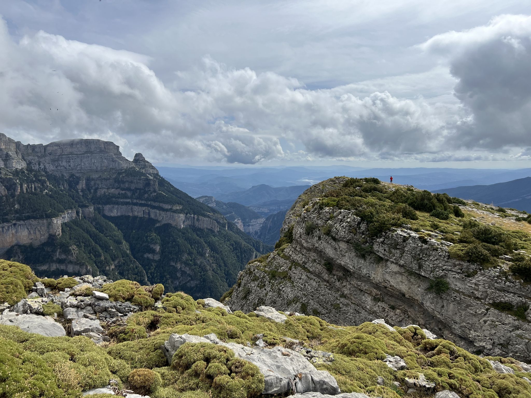
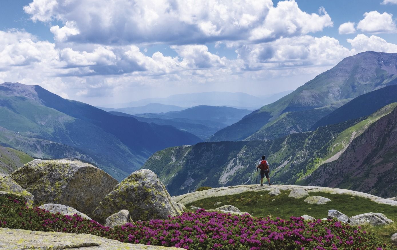
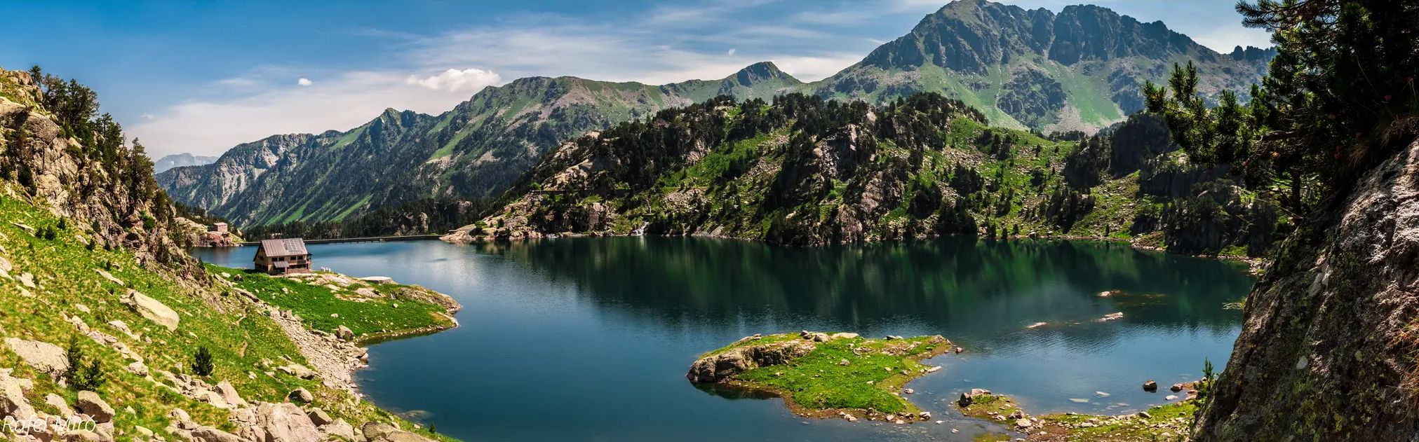

Other adventures around D'Aigüestortes i Estany de Sant Maurici


Tips from the Community

This Romanesque cultural heritage is beautiful. The highlight for me was climbing the tower.
0
0

It's better to do the route by ebike. There's a lot of elevation gain.
0
0

A spa of Roman origin. Today it is an important thermal and tourist center, with two hotels. The waters are considered mineral-medicinal and flow from a total of 37 sources.
2
0

The Romanesque church of Sant Joan de Boí stands out among the others in the valley for preserving various architectural motifs from its first period of construction, the 11th century. Especially, inside you can see beautiful wall paintings.
0
0
The Romanesque church of Santa Eulàlia in Erill la Vall stands out for its slender bell tower that stands six stories high dominating the valley. It was built between the 11th and 12th centuries in the distinctive Lombard Romanesque style.
0
0

Consecrated on December 10, 1123 by Ramon Guillem, Bishop of Roda-Barbastro, the church of Sant Climent de Taüll is built on top of an 11th century temple. It is the prototype of a Romanesque church with a basilica plan with three naves separated by columns and a gabled wooden roof, a head with three apses and a bell tower. The image of Christ in Majesty by Taüll has been one of the emblematic images most used to represent the Catalan Romanesque
0
0

Of the Romanesque churches in the Vall de Boí, this is one of the most beautiful. The original frescoes are in the museum, as always. Here they are digitally reconstructed and projected onto the walls. In addition, there is a very interesting digital reconstruction of the original artwork.
0
0

This church is made in the iconic Romanesque style of 8 other churches in the Vall de Boi. In fact, when I think of the Vall de Boi I think of these churches.
0
0
Frequently Asked Questions
How many bus station hiking trails are available in D'Aigüestortes i Estany de Sant Maurici?
There are over 90 bus station hiking trails in D'Aigüestortes i Estany de Sant Maurici National Park. These routes offer a variety of experiences, from easy strolls to more challenging treks, all accessible via public transport.
Are there easy bus-accessible hikes suitable for families or beginners?
Yes, the region offers 28 easy bus-accessible hikes perfect for families or those seeking a relaxed walk. An example is the Noguera de Tor River – Sant Joan de Boí Church loop from Sant Joan de Boí, which is just over 2 km long and features minimal elevation gain.
What kind of natural features can I expect to see on these trails?
D'Aigüestortes i Estany de Sant Maurici is renowned for its stunning glacial landscape. You'll encounter numerous lakes, such as Lake Sant Maurici and Ratera Lake, as well as winding rivers and waterfalls like the Ratera Waterfall. The park's name, 'twisted waters,' perfectly describes its abundant hydrography.
Are there any circular routes accessible from bus stations?
Yes, several circular routes are accessible from bus stations, allowing you to start and end your hike at the same point. A moderate option is the Sant Joan de Boí Church – Caldes de Boí Thermal Springs loop from Boí, which covers over 12 km and offers diverse scenery.
What are some notable landmarks or points of interest along bus-accessible trails?
Beyond the natural beauty, you can explore cultural landmarks and viewpoints. The Sant Joan de Boí Church – Sant Climent de Taüll loop from Boí takes you past historic churches. You might also encounter stunning vistas like the View of Estany de Sant Maurici, offering panoramic views of the iconic Els Encantats peaks.
What do other hikers say about the bus station trails in D'Aigüestortes i Estany de Sant Maurici?
The komoot community highly rates the hiking experience in D'Aigüestortes i Estany de Sant Maurici, with an average score of 4.59 out of 5 stars from over 2200 ratings. Hikers often praise the stunning natural beauty, the abundance of lakes, and the well-maintained trails that make exploring the park accessible.
Can I find moderate difficulty hikes from bus stops?
Absolutely. The majority of bus-accessible trails, 48 out of 90, are rated as moderate. These routes provide a good balance of challenge and reward. Consider the Sant Climent de Taüll – Pont del Fornet loop from Santa Eulàlia d'Erill la Vall for a rewarding moderate hike.
Are there any mountain refuges or huts accessible from bus-friendly routes?
While the core of the park requires further travel, some bus-accessible routes can lead you towards areas where refuges are located. For instance, the park features a network of mountain refuges like the Josep Maria Blanc Refuge and Amitges Refuge, which are key points for longer treks like the 'Carros de Foc'.
What is the best time of year to hike these bus-accessible trails?
The best time to hike in D'Aigüestortes i Estany de Sant Maurici is generally from late spring to early autumn (June to October). During these months, the weather is more stable, trails are clear of snow, and the park's flora and fauna are vibrant. Always check local conditions before heading out, especially for higher altitude routes.
Are there any longer, more challenging bus-accessible routes?
Yes, for experienced hikers, there are 14 difficult bus-accessible routes. These often involve significant elevation changes and longer distances. An example of a longer moderate route that can be challenging is the Sant Climent de Taüll – Barranc d'Erill loop from Sant Climent de Taüll, which spans over 12 km with considerable ascent.
Most popular routes around D'Aigüestortes i Estany de Sant Maurici
Most popular attractions around D'Aigüestortes i Estany de Sant Maurici

Get inspired with the komoot mobile app


Explore more
Browse the best Hikes in other regions.
