The best hikes from bus stations around Emsaue bei Telgte
4.5
(6365)
30,508
hikers
708
hikes
Bus station hiking trails around Emsaue bei Telgte traverse a diverse landscape shaped by the meandering Ems River and its floodplains. The region features riparian forests, grasslands, and unique natural areas like the Klatenberge Juniper Heath with its distinctive dunes. Terrain is generally gentle with minimal elevation changes, making it accessible for various hiking abilities. This area is recognized for its ecological significance as a nature reserve and part of the European "NATURA 2000" network.
Best bus station hiking trails around Emsaue bei Telgte
- The most popular bus station hiking route is Rest area on Klatenberge Heath – Haus Langen loop from Telgte, a 6.6 miles (10.6 km) moderate trail that takes 2 hours 42 minutes to complete, passing through varied natural landscapes.
- Another top favourite among local hikers is Rest area on Klatenberge Heath – Ems Weir, Telgte loop from Telgte, a moderate 6.9 miles (11.1 km) path offering views of the Ems River and the Klatenberge Heath.
- Local hikers also love the Haus Langen – Haus Langen and Moat loop from Telgte, a 4.6 miles (7.4 km) easy trail leading through the local countryside, often completed in about 1 hour 53 minutes.
- Hiking around Emsaue bei Telgte is defined by the Ems River floodplains, riparian forests, and the unique Klatenberge Juniper Heath, with routes offering options for easy strolls and moderate excursions.
- The routes in Emsaue bei Telgte are highly rated by the komoot community with an average score of 4.4 stars from more than 500 reviews. More than 4000 hikers have used komoot to explore Emsaue bei Telgte's varied terrain.
Last updated: July 12, 2026
4.8
(91)
359
hikers
10.3km
02:37
20m
20m
Moderate hike. Good fitness required. Easily-accessible paths. Suitable for all skill levels.
4.7
(65)
233
hikers
Moderate hike. Good fitness required. Easily-accessible paths. Suitable for all skill levels.

Sign up for free
4.8
(69)
278
hikers
Moderate hike. Good fitness required. Easily-accessible paths. Suitable for all skill levels.
4.8
(19)
46
hikers
9.18km
02:20
20m
20m
Moderate hike. Good fitness required. Easily-accessible paths. Suitable for all skill levels.
4.6
(5)
26
hikers
8.32km
02:06
10m
10m
Moderate hike. Good fitness required. Easily-accessible paths. Suitable for all skill levels.
Get access to more routes and recommendations from other explorers.
Sign up for free
Already have an account?
Our route recommendations are based on thousands of hikes, rides, and runs completed by other people on komoot.
Start today with a free account
Your next adventure awaits.
Login or Signup
Other adventures around Emsaue bei Telgte


Tips from the Community

Scenery with a lot of old building substance and a beautiful market square. Worth a visit at any time of the year.
0
0

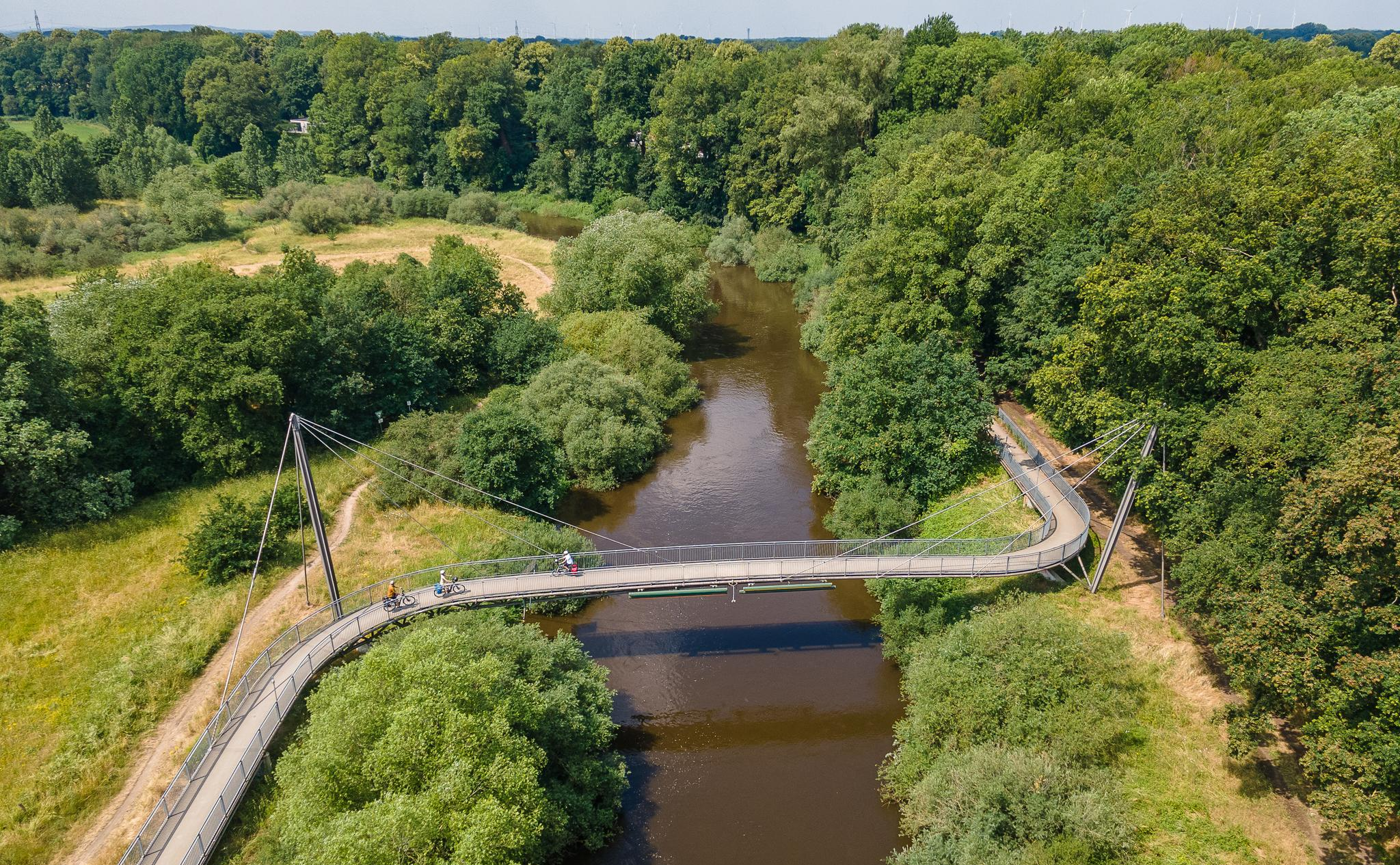
Quiet, natural path directly on the Ems, leading through the protected floodplain landscape of the Emsaue near Telgte. Willows, meadows, old riverbeds, and occasional views of sandbanks and steep banks make the walk or bike ride a peaceful nature experience. An ideal section for a relaxed round, which can be easily incorporated into hikes or bike tours around Telgte.
0
0

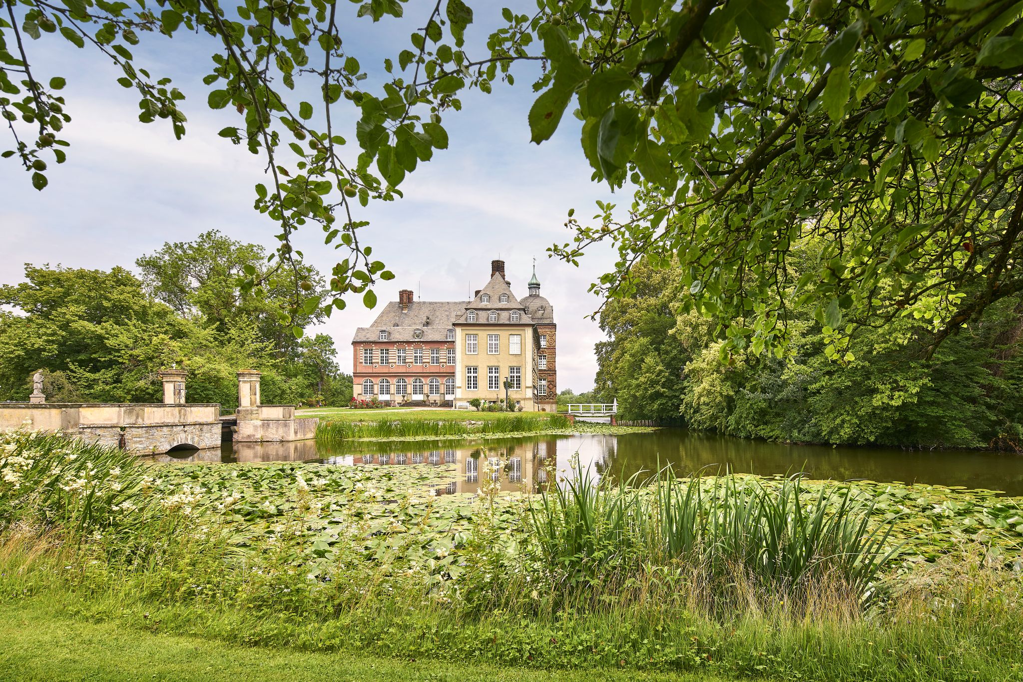
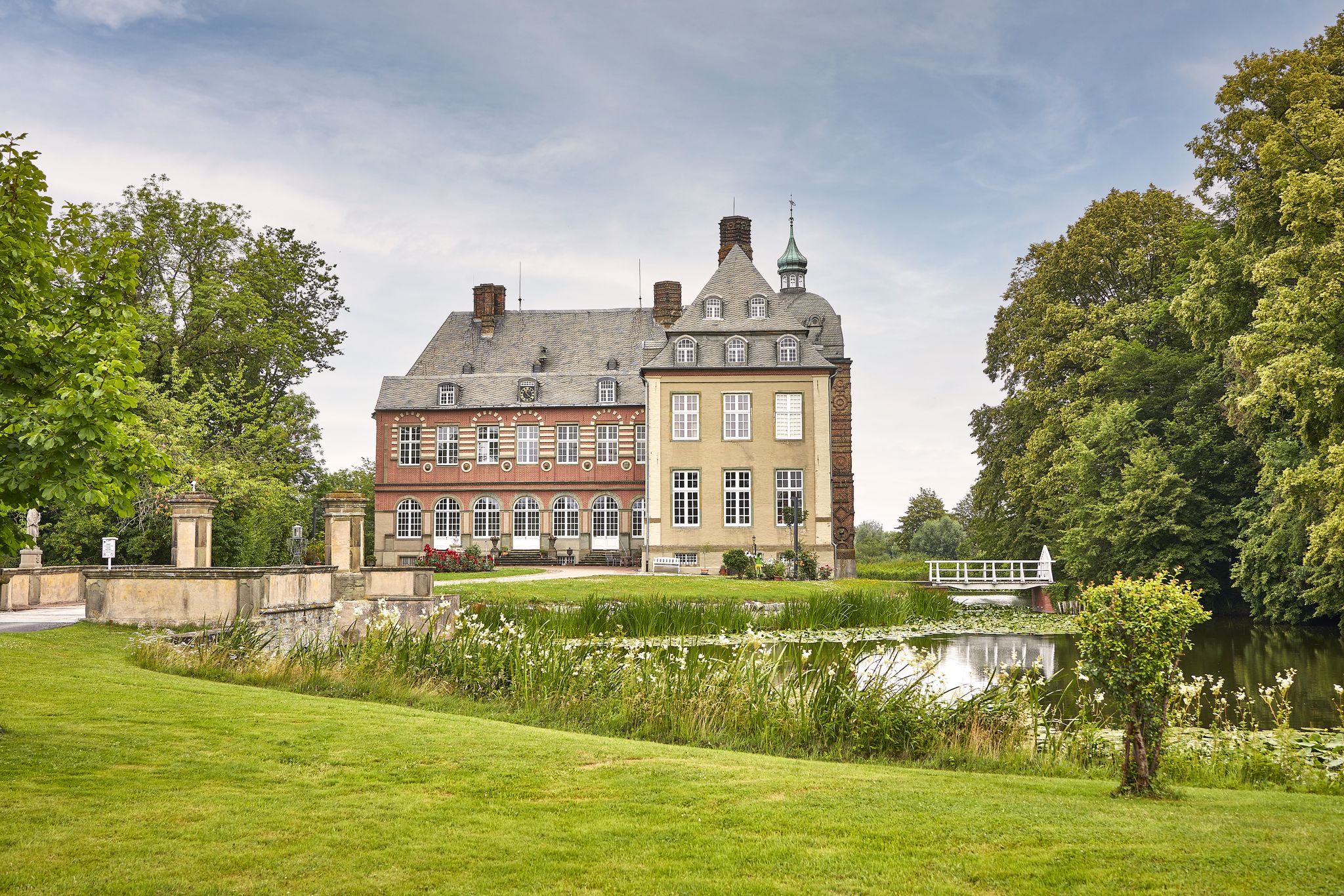
Haus Langen is a former knight's estate near the Ems. The ringwork fortification was built before the year 1000 and is one of the oldest fortresses with a surrounding moat as protection. Only the gatehouse remains of the complex. Directly opposite is a double mill.
1
0

In the front area of the forest cemetery, many works of art are on display, including a great little fountain with fish as a water reservoir
0
0
There are two entrances to the cemetery. Each has a parking area, which can also be used as a starting point for a tour.
0
0

There's something mystical about it. Unfortunately, you cycle past it quickly without noticing the relic.
2
0

Here you should plan on walking rather than by bike
2
0

Also recommended early in the year!
0
0
Frequently Asked Questions
How many bus station hiking trails are available in Emsaue bei Telgte?
There are 11 hiking trails in Emsaue bei Telgte that are easily accessible from bus stations. These routes offer a convenient way to explore the region's natural beauty using public transport.
What kind of terrain can I expect on these bus station hiking trails?
The terrain around Emsaue bei Telgte is generally gentle with minimal altitude changes, making it accessible for a wide range of visitors. You'll find a mosaic of landscapes, including meandering river paths, riparian forests, grasslands, and distinctive dune areas like the Klatenberge Juniper Heath. While most routes are easy, some offer moderate challenges.
Are there options for easy, family-friendly hikes from bus stations?
Yes, many of the bus station accessible trails are suitable for families. For an easy and enjoyable walk, consider the Haus Langen – Haus Langen and Moat loop from Telgte, which is 7.4 km long and features minimal elevation changes. The gentle terrain and diverse scenery make it ideal for all ages.
What natural features or landmarks can I see along bus station hiking trails in Emsaue bei Telgte?
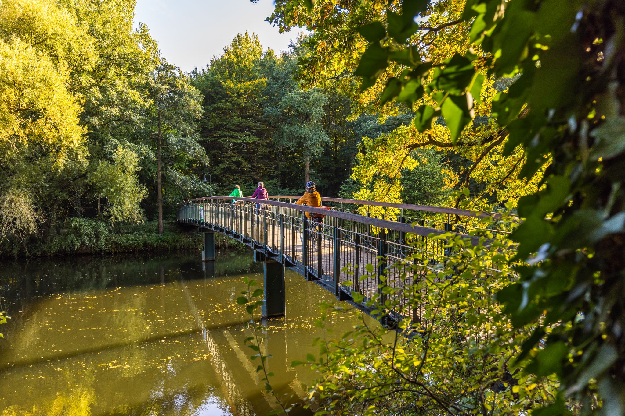
You can discover a variety of natural and historical highlights. Many routes will take you along the Ems River and its floodplains, where you might spot the Ems Weir, Telgte or the Wooden Bridge Over the Ems River. The unique Klatenberge Juniper Heath is also a prominent feature on some trails, offering a distinctive dune landscape with ancient oak trees.
Can I expect to see wildlife on these trails?
Emsaue bei Telgte is a biodiversity hotspot. Hikers often spot a wide array of species, including kingfishers, sand martins, newts, and various bird species. Keep an eye out for Konik horses and Heck cattle grazing freely in the "Wilde Weiden" areas, which contribute significantly to the region's exceptional biodiversity.
Are there circular routes available from bus stations?
Absolutely. Many of the bus station accessible hikes are circular, allowing you to start and end at the same point. For example, the Rest area on Klatenberge Heath – Haus Langen loop from Telgte is a moderate 10.6 km circular route that showcases the diverse landscape.
Are bus station hiking trails in Emsaue bei Telgte suitable for dogs?
Yes, many trails in Emsaue bei Telgte are dog-friendly, offering plenty of space for your canine companion to enjoy the outdoors. Always ensure your dog is kept on a leash where required, especially in nature reserve areas or near grazing animals, and be mindful of local regulations.
What is the best time of year to hike these bus station trails?
The Emsaue bei Telgte region is beautiful year-round. Spring brings blooming wildflowers and active wildlife, while autumn offers stunning foliage. Summer is great for longer days, and even winter can be charming with crisp air and unique views. The gentle terrain makes it accessible in most conditions, but always check local weather forecasts before heading out.
Are there any historical sites accessible from bus station hikes?
Yes, the region blends natural beauty with historical elements. Within the Emsauenpark, you can find the "Napoleonshügel," the remains of an unfinished 19th-century bridge construction, and "Die Motte," a remnant of a medieval fortification. The historic Telgte pilgrimage route also passes north of the park, and a reconstructed Bronze Age burial mound hints at earlier settlements.
What do other hikers say about the bus station trails in Emsaue bei Telgte?
The komoot community highly rates the hiking experience in Emsaue bei Telgte, with an average score of 4.4 stars. Reviewers often praise the well-maintained paths, the peaceful river landscapes, and the opportunity to observe diverse wildlife. Many appreciate the easy accessibility via public transport and the variety of routes available.
Are there any longer bus station hikes for more experienced hikers?
For those seeking a longer, moderate challenge, routes like the Ems Weir, Telgte – Emstor Mill (Mill at the Emstor) loop from Telgte offer a substantial 11.4 km journey. These trails provide extended exploration of the diverse floodplains and natural areas.
Most popular routes around Emsaue bei Telgte
Most popular attractions around Emsaue bei Telgte

Get inspired with the komoot mobile app


Explore more
Browse the best Hikes in other regions.
