The best family-friendly hikes and walks around Natural Park Kamm des Wesergebirges
4.5
(13858)
46,889
hikers
35
hikes
Family friendly hiking trails around Natural Park Kamm des Wesergebirges traverse a landscape characterized by wooded, rolling hills and small valleys. The region features extensive natural beech forests, including orchid-rich varieties, and notable geological formations such as rocky crags and the Springsteine rock formations. Hikers can explore paths through these forests and encounter named mountains like Möncheberg (326 m) and Hainholz (320 m). The park also contains calcareous slopes and is known for its rare flora and fauna.
Best family…
Last updated: July 12, 2026
4.7
(545)
1,507
hikers
13.7km
03:54
310m
310m
Moderate hike. Good fitness required. Easily-accessible paths. Suitable for all skill levels.
4.7
(140)
428
hikers
Moderate hike. Good fitness required. Easily-accessible paths. Suitable for all skill levels.

Sign up for free
4.7
(63)
197
hikers
Easy hike. Great for any fitness level. Easily-accessible paths. Suitable for all skill levels.
4.5
(38)
123
hikers
Moderate hike. Good fitness required. Easily-accessible paths. Suitable for all skill levels.
4.6
(37)
161
hikers
Easy hike. Great for any fitness level. Easily-accessible paths. Suitable for all skill levels.
Get access to more routes and recommendations from other explorers.
Sign up for free
Already have an account?
Our route recommendations are based on thousands of hikes, rides, and runs completed by other people on komoot.
Start today with a free account
Your next adventure awaits.
Login or Signup
Popular around Natural Park Kamm des Wesergebirges
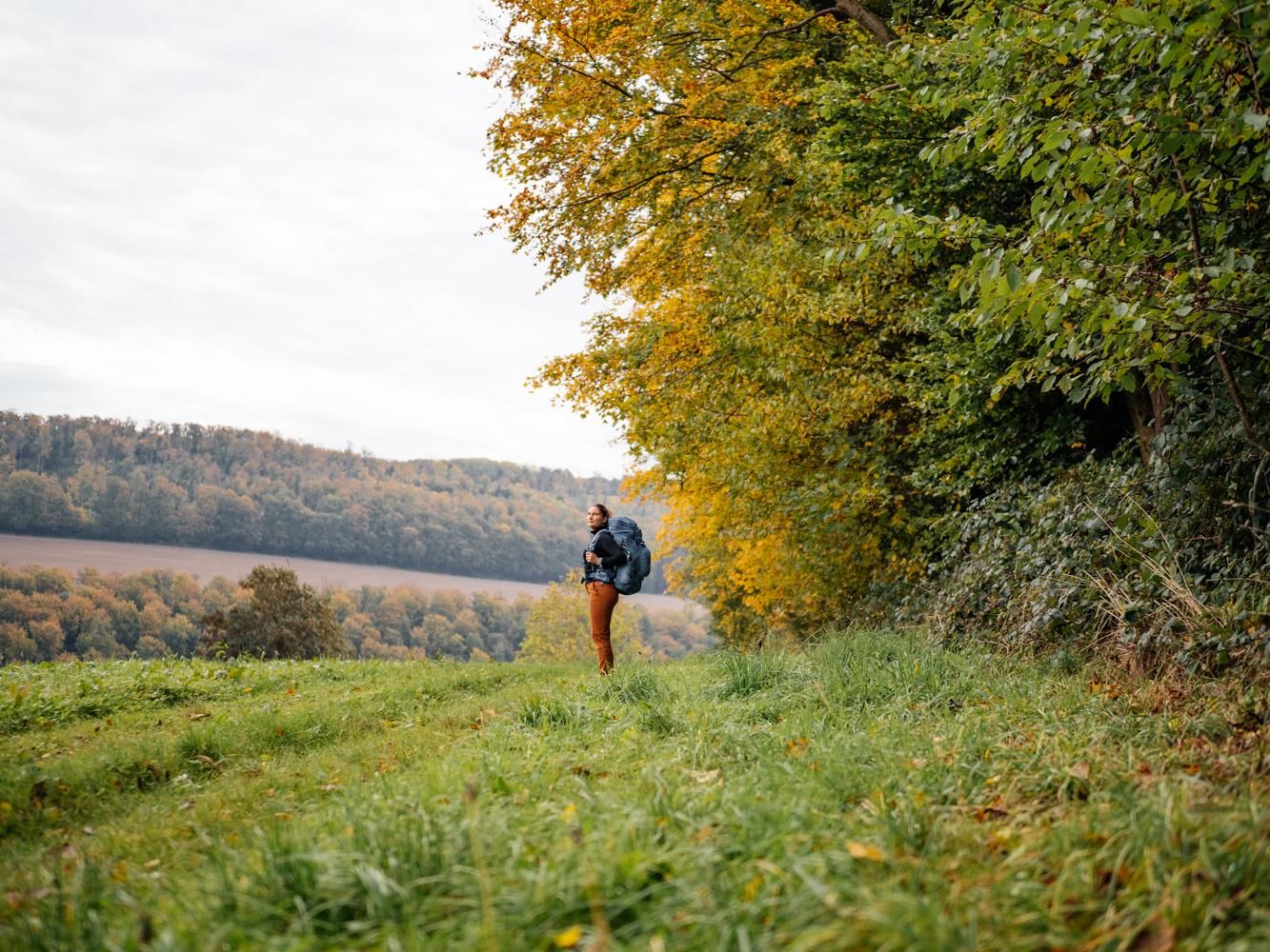
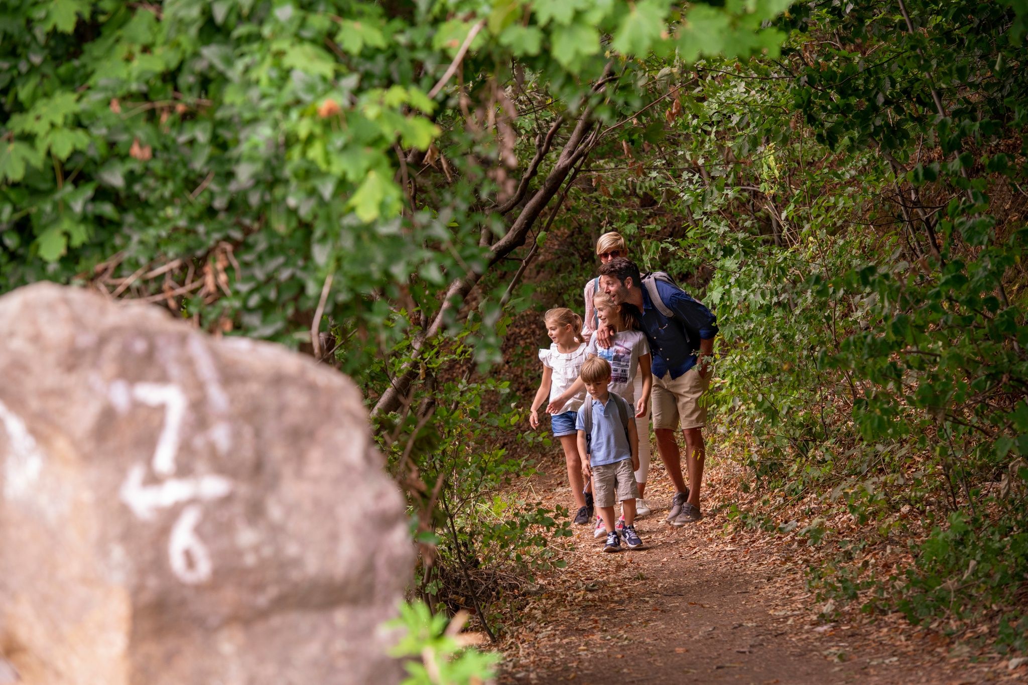
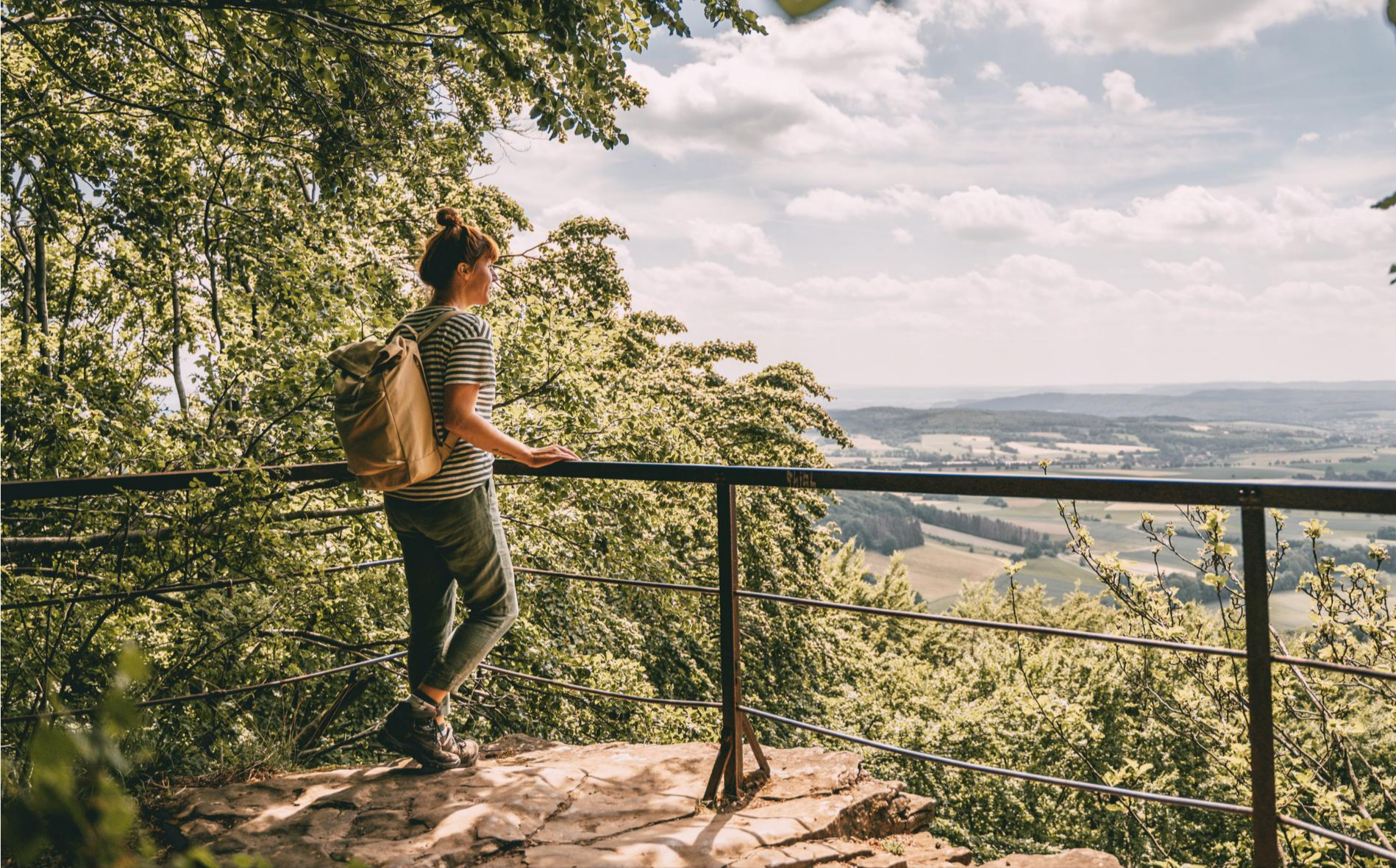
Other adventures around Natural Park Kamm des Wesergebirges

Tips from the Community

Very nice bench a good place for a break
0
0

The Springsteine in the Weserbergland region are a striking rock formation of ancient sandstone and limestone, rising jagged and bizarre from the wooded ridge near Deckbergen. Between narrow crevices, small caves, and steep rock outcrops, an impressive piece of geological history is revealed, providing a habitat for bats, among other creatures. The name "Springsteine" derives from their once prominent location, visible from afar, when they stood like prominent landmarks above the valley. Today, narrow paths wind through them, making the Springsteine a particularly attractive destination for hikers who appreciate geological features, tranquility, and unusual natural formations.
0
0

Wild garlic can be found in many places throughout the forest. Its scent fills the air everywhere 🤩
0
0

"Otto Frick's" bench may not be familiar to some, but the honorary bench for Otto Paul Martin Frick (1832 to 1892) has been there for quite some time. It's the stone bench located on the path from the Cliff Tower toward Steinbergen and is intended to commemorate the former principal of the Ernestinum Gymnasium (1874 to 1878). Source: https://www.rinteln-aktuell.de/ein-echter-schild-buergerstreich-welcher-weg-fuehrt-zum-klippenturm/
1
0

Wild garlic in abundance
0
0
Nice place to rest on the Lange Wand Trail in the Weser Mountains. Several benches and a narrow table offer space for larger groups.
1
0
Memorial stone on the hiking trail from Rinteln to Todenmann. Inscription: Hiker, stop your steps and mourn with us for the splendid man and friend of the local forest, Richard Zumwinkel, teacher in Rinteln, who, as a leader with his brave team, storming in hot battles against the English, fell near Cambrai in France on December 3, 1917. He died for you so that you can live as a free man.
2
0
The Osterburg consisted of two neighbouring, independent castles on two hills, which were separated by a moat. They were protected from the outside by earthen ramparts and a deep moat. The remains of a ring wall are believed to be in the ramparts, but archaeological investigations can only provide information about this. The northern and smaller castle hill appears to be of more recent date. The oval structure has a diameter of around 40 × 50 m and a height of around 3 m. In the direction of the larger castle hill to the south there was an area of a small outer bailey. The main castle has an area of around 50 × 70 m and a height of up to 7 m. On it, a round rubble mound with stone remains indicates the former presence of a round tower made of rubble stone. Soil anomalies and depressions on the castle hills indicate collapsed cellars of earlier buildings, which are to be expected here as commercial and residential buildings. The holes may also have been caused in part by illegal excavations, which have already caused major damage to the remains of the castle complex. The distinctive soil shapes of the complex are still clearly visible in the area today, especially due to the surrounding ring moat in the shape of a figure of eight. At the castle site there is now an information board with an explanatory text that shows the complex in plan and as an attempt at reconstruction. The history of Osterburg is largely unknown. It was first mentioned in documents in 1121. Source: https://de.wikipedia.org/wiki/Osterburg_(Deckbergen)
1
0
Frequently Asked Questions
How many family-friendly hiking trails are there in Natural Park Kamm des Wesergebirges?
The Natural Park Kamm des Wesergebirges offers a wide selection of trails suitable for families. There are over 20 easy routes and 14 moderate routes, providing plenty of options for various ages and fitness levels.
Are there any easy loop hikes suitable for families with young children?
Yes, for a pleasant and easy loop, consider the Ruins of Hünenburg – Tree of a Thousand Roots loop from NSG Kamm des Wesergebirges. This 5.4 km trail is rated easy and takes you through historical ruins and unique natural features, perfect for a family outing.
What kind of natural features or landmarks can we see on family hikes?
The region is rich in natural beauty and historical sites. You can explore impressive rock formations like the Springsteine, which are featured on the Schaumburg Castle Amthaus – Springsteine Rock Formations loop from Deckbergen. Many trails also offer views of the rare Süntel beech trees and lead past historical ruins such as the Ruins of Hünenburg.
Are there any trails that offer views of castles or historical sites?
Absolutely! The Three Castles Route from Schaumburg is a fantastic option. This moderate trail connects several historical sites, including Schaumburg Castle, Osterburg, and Paschenburg, offering a glimpse into the region's past. Another great option is the Springsteine Rock Formations – View of Schaumburg Castle loop from Deckbergen, which provides scenic views of Schaumburg Castle.
What do other hikers enjoy most about the family-friendly trails here?
The trails in Natural Park Kamm des Wesergebirges are highly rated by the komoot community, with an average score of 4.56 stars. Reviewers often praise the diverse and picturesque landscapes, the well-maintained paths through extensive beech forests, and the opportunity to combine nature experiences with historical exploration.
Can we bring our dog on family hikes in the Natural Park Kamm des Wesergebirges?
Yes, many trails in the Natural Park Kamm des Wesergebirges are dog-friendly. It's always a good idea to keep your dog on a leash, especially in protected areas or near wildlife. Ensure you carry water for your pet and clean up after them to keep the trails enjoyable for everyone.
Are there any specific viewpoints or scenic spots suitable for kids?
Many trails offer wonderful viewpoints. For example, the Paschenburg — View of the Weser Valley provides expansive views that children will enjoy. The rocky crags and impressive rock formations like the Springsteine are also exciting natural features for kids to explore.
Where can we find parking or trailheads for family hikes?
Many popular routes, such as those starting from Deckbergen, offer convenient parking options. For instance, the Springsteine Trailhead and Shelter is a good starting point with facilities. Specific parking information is usually available on individual route pages.
What is the best season for family hikes in the Natural Park Kamm des Wesergebirges?
The Natural Park Kamm des Wesergebirges is beautiful year-round. Spring brings blooming wildflowers and fresh greenery, while autumn offers stunning foliage in the beech forests. Summer is ideal for longer days, and even winter walks can be magical, especially after a fresh snowfall. Always check local weather conditions before heading out.
Are there any shelters or places to rest along the family-friendly trails?
Yes, the park features several shelters and huts where families can take a break, have a snack, or find cover from the weather. Notable spots include the Vorbergsplatz Shelter and Trail Junction and the Möncheberg shelter, offering peaceful spots to rest and enjoy nature.
Are there any cafes or places to eat near the family-friendly trails?
While specific cafes directly on every trail might be limited, the charming half-timbered towns and villages surrounding the Natural Park Kamm des Wesergebirges, such as Rinteln, offer various dining options and cafes where families can refuel after their hike. It's a good idea to pack snacks and drinks for the trail itself.
Most popular routes around Natural Park Kamm des Wesergebirges
Most popular attractions around Natural Park Kamm des Wesergebirges

Get inspired with the komoot mobile app


Explore more
Browse the best Hikes in other regions.
