The best hikes from bus stations around Le Locle
4.6
(5181)
34,490
hikers
33
hikes
Bus station hiking trails around Le Locle offer access to the diverse landscapes of the Swiss Jura Mountains. The region is characterized by dense fir forests, limestone formations, and river valleys, providing varied terrain for outdoor exploration. Hikers can explore paths along the Doubs River, which forms a natural border and features the Saut du Doubs waterfall. The area also includes serene lakes such as Lac des Taillères, integrated into many routes.
Best bus station hiking trails around Le Locle
- The most popular bus station hiking route is Grand Sommartel Loop, a 4.7 miles (7.6 km) trail that takes about 2 hours 15 minutes to complete. This moderate route features an elevation gain of over 700 feet (218 meters).
- Another top favourite among local hikers is Saut du Doubs Restaurant – Saut du Doubs Waterfall loop from Les Brenets, a moderate 4.7 miles (7.5 km) path. This route leads to the impressive Saut du Doubs waterfall, offering scenic views along the Doubs River.
- Local hikers also love the Lac des Taillères – Lac des Taillères loop from La Brévine, a 4.5 miles (7.2 km) trail leading through the tranquil landscape around Lac des Taillères, often completed in about 1 hour 55 minutes.
- Hiking around Le Locle is defined by dense fir forests, limestone walls, and picturesque river valleys. The network offers options for different ability levels, from easy walks to more challenging routes.
- The routes in Le Locle are highly rated by the komoot community with an average score of 4.6 stars from over 4,000 reviews. More than 30,000 hikers have used komoot to explore Le Locle's varied terrain.
Last updated: October 15, 2026
4.5
(2)
11
hikers
7.60km
02:15
220m
220m
Hike the moderate 4.7-mile Grand Sommartel loop from La Combe-Jeanneret, offering diverse terrain and scenic Jura Mountain views.
3.6
(5)
12
hikers
7.33km
01:57
70m
70m
Easy hike. Great for any fitness level. Easily-accessible paths. Suitable for all skill levels.

5.0
(8)
43
hikers
7.21km
02:28
360m
360m
Moderate hike. Good fitness required. Easily-accessible paths. Suitable for all skill levels.
5.0
(4)
20
hikers
5.04km
01:37
210m
210m
Easy hike. Great for any fitness level. Easily-accessible paths. Suitable for all skill levels.
3.0
(1)
14
hikers
8.81km
02:17
50m
50m
Moderate hike. Good fitness required. Easily-accessible paths. Suitable for all skill levels.
Get access to more routes and recommendations from other explorers.
Already have an account?
Our route recommendations are based on thousands of hikes, rides, and runs completed by other people on komoot.
Start today with a free account
Your next adventure awaits.
Popular around Le Locle
Hikes from bus stations in Locle

Hikes from bus stations around Lac De Châtelot (Ou Moron)

Hikes from bus stations around Lac de Moron
Waterside hiking in the Jura & Three-Lakes region
Follow France’s Doubs River through spectacular landscapes

From the Vosges to the Jura mountains – Hexatrek, le Grand Est
Arc jurassien in Switzerland – 4 stages through the wild Jura Mountains
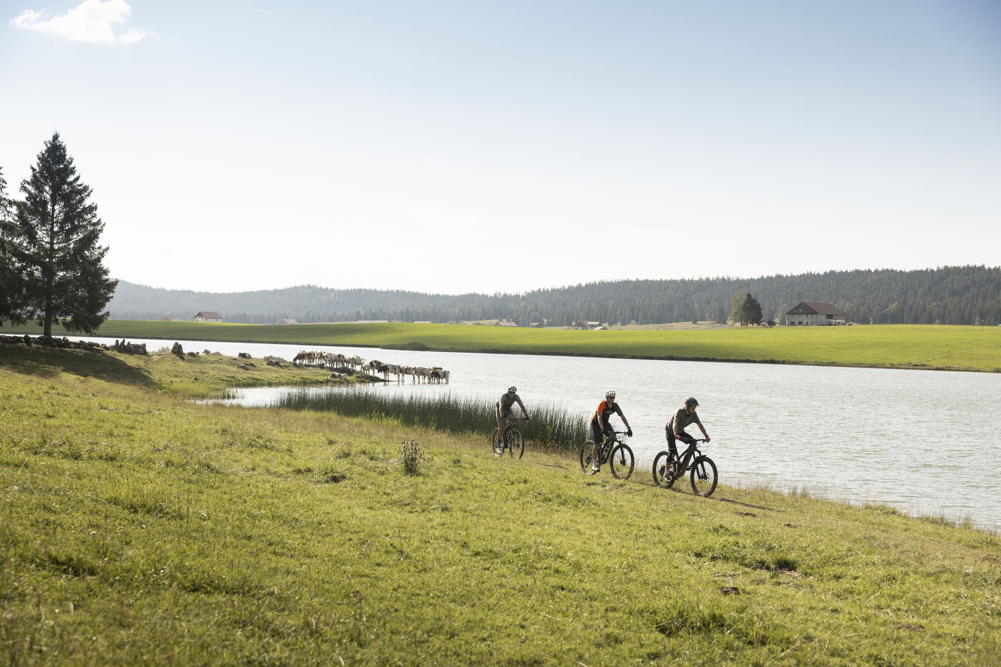
Cycling in the Jura & Three-Lakes Region
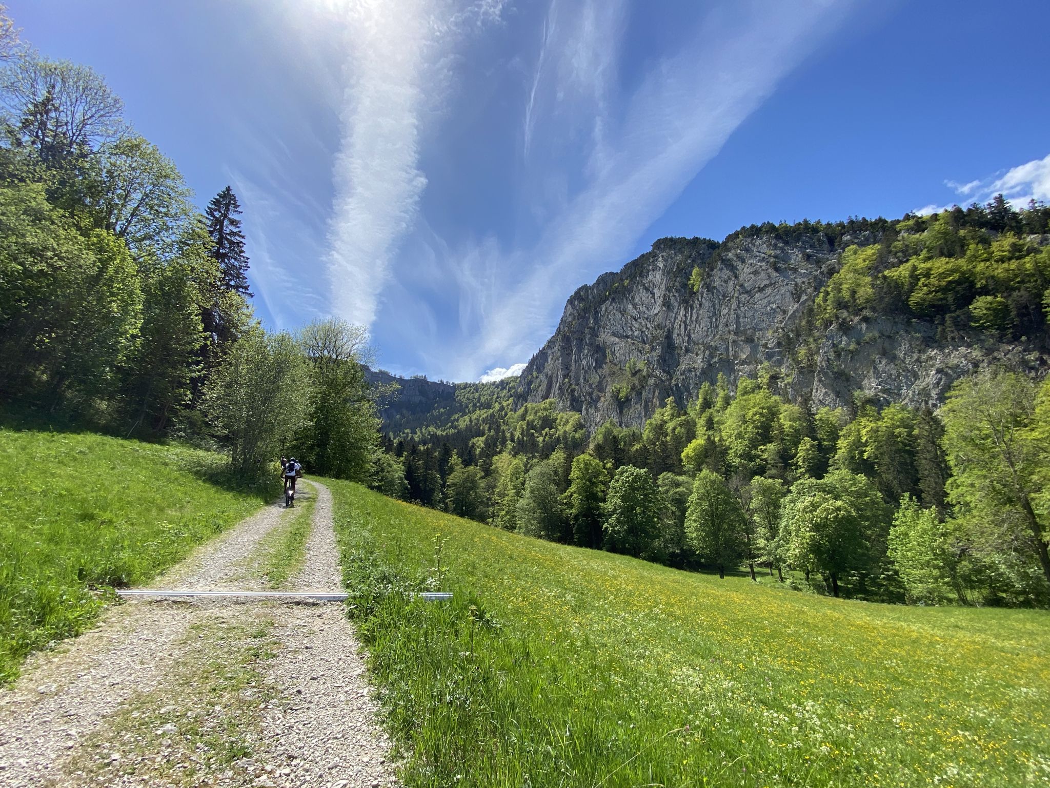
Through forests, meadows and gorges – The Neuchâtel Bike
Other adventures around Le Locle


Tips from the Community

It's worth exploring the forgers' caves
0
0


Rustic restaurant with terrace located directly on the Doubs.
7
0
The Saut du Doubs is a 27-meter-high waterfall located along the Doubs River, which forms the border between France and Switzerland here. The waterfall is the result of a paleohistoric landslide that filled the narrow, gorge-like Doubs Valley, which cuts deep into the limestone formations of the Folded Jura, about 14,000 years ago.
7
0
Bridge as a border crossing between France and Switzerland.
7
0

The thunder of the water and the charisma of this place are unforgettable.
0
0


From here you have a wonderful view of the lake, which lies in a hollow surrounded by green pastures and forests.
1
0
Frequently Asked Questions
How many hiking trails are accessible directly from bus stations around Le Locle?
There are over 30 hiking trails around Le Locle that are easily accessible from bus stations. These routes offer a variety of experiences, with 14 easy, 17 moderate, and 2 difficult options to choose from.
Are there any easy, family-friendly hikes accessible by bus in Le Locle?
Yes, Le Locle offers several easy, family-friendly hikes accessible by bus. An excellent option is the Jürgensen Tower – Temple des Brenets loop from Les Brenets, which is around 5 km long and takes about 1 hour 35 minutes. This route is suitable for most fitness levels and offers pleasant scenery.
Can I find circular hiking routes starting from bus stations in Le Locle?
Absolutely. Many of the bus-accessible trails in Le Locle are circular, allowing you to start and end at the same bus stop. For example, the Grand Sommartel Loop is a moderate 7.6 km route, or for an easier option, consider the Lac des Taillères – Lac des Taillères loop from La Brévine.
Are there any hikes accessible by bus that feature waterfalls or lakes?
Yes, the region around Le Locle is known for its beautiful natural features. You can take a bus to access trails that lead to the majestic Saut du Doubs waterfall or serene lakes. The Saut du Doubs Restaurant – Saut du Doubs Waterfall loop from Les Brenets is a moderate 7.5 km route that offers impressive views of the waterfall. You can also explore the area around Brenets Lake.
What kind of natural landscapes can I expect to see on these bus-accessible hikes?
The bus-accessible hikes around Le Locle traverse the unique landscapes of the Swiss Jura Mountains. You'll encounter dense fir forests, dramatic limestone formations, and picturesque river valleys, especially along the Doubs River. Many routes also feature serene lakes and peat bogs, offering a diverse natural experience.
Are there any specific points of interest or landmarks along the bus station hiking trails?
Yes, several trails offer access to interesting landmarks and natural monuments. For instance, you might pass by the La Brévine Weather Station, known for its cold temperatures, or the unique Tourbière des Ponts-de-Martel peat bog. The Jürgensen Tower – Temple des Brenets loop from Les Brenets also offers historical interest.
What do other hikers enjoy most about the bus-accessible trails in Le Locle?
The bus-accessible trails in Le Locle are highly regarded by the komoot community, with an average rating of 4.6 stars from over 4,000 reviews. Hikers often praise the region's diverse natural beauty, the well-maintained paths, and the convenience of accessing stunning landscapes directly from public transport.
Are there any bus-accessible trails that explore the peat bogs in the region?
Yes, the region features unique peat bog landscapes. The Peat bog trail – Picnic area loop from Les Ponts-de-Martel is a moderate 8.8 km route that allows you to explore the fascinating Tourbière des Ponts-de-Martel, a significant natural monument.
What is the best time of year to hike these bus-accessible trails?
The best time to hike the bus-accessible trails around Le Locle is generally from spring through autumn. During these seasons, the weather is milder, and the trails are typically clear of snow, allowing for comfortable exploration of the forests, river valleys, and lakes. Winter hiking is also possible, especially with snowshoes, but conditions can be challenging.
Are there any bus-accessible routes that offer views of the Doubs River valley?
Many trails in the region provide stunning views of the Doubs River valley, which forms a natural border with France. The river carves a dramatic, gorge-like valley, offering spectacular scenery. Routes leading to or around the Saut du Doubs waterfall, such as the Saut du Doubs Restaurant – Saut du Doubs Waterfall loop from Les Brenets, are excellent for experiencing this dramatic landscape.
Most popular routes around Le Locle
Most popular attractions around Le Locle

Get inspired with the komoot mobile app


Didn’t find what you were looking for?
Check out more Hikes throughout Le Locle below and find the perfect route in your destination.
Explore more
Browse the best Hikes in other regions.
