The best traffic-free bike rides around Miglieglia
4.3
(2032)
22,876
riders
63
rides
No traffic touring cycling routes around Miglieglia are set in the Malcantone region of Ticino, Switzerland, characterized by diverse landscapes. The area features extensive woods and chestnut forests, with terrain ranging from the meanders of the Magliasina river to the slopes of Monte Lema. This region offers a mix of ascents and descents, providing varied experiences for touring cyclists.
Best no traffic touring cycling routes around Miglieglia
- The most popular no traffic touring cycling route is Church of San Michele…
Last updated: July 12, 2026
1.0
(1)
52
riders
19.6km
01:52
530m
530m
Hard bike ride. Very good fitness required. You may need to push your bike for some segments of this route.
24
riders
15.4km
01:31
560m
560m
Hard bike ride. Very good fitness required. Mostly paved surfaces. Suitable for all skill levels.

Sign up for free
5.0
(1)
26
riders
15.5km
01:18
510m
510m
Hard bike ride. Very good fitness required. Mostly paved surfaces. Suitable for all skill levels.
20
riders
20.3km
02:01
630m
630m
Hard bike ride. Very good fitness required. Mostly paved surfaces. Suitable for all skill levels.
4.0
(1)
15
riders
14.5km
01:01
280m
280m
Moderate bike ride. Good fitness required. Mostly paved surfaces. Suitable for all skill levels.
Get access to more routes and recommendations from other explorers.
Sign up for free
Already have an account?
Our route recommendations are based on thousands of hikes, rides, and runs completed by other people on komoot.
Start today with a free account
Your next adventure awaits.
Login or Signup
Popular around Miglieglia
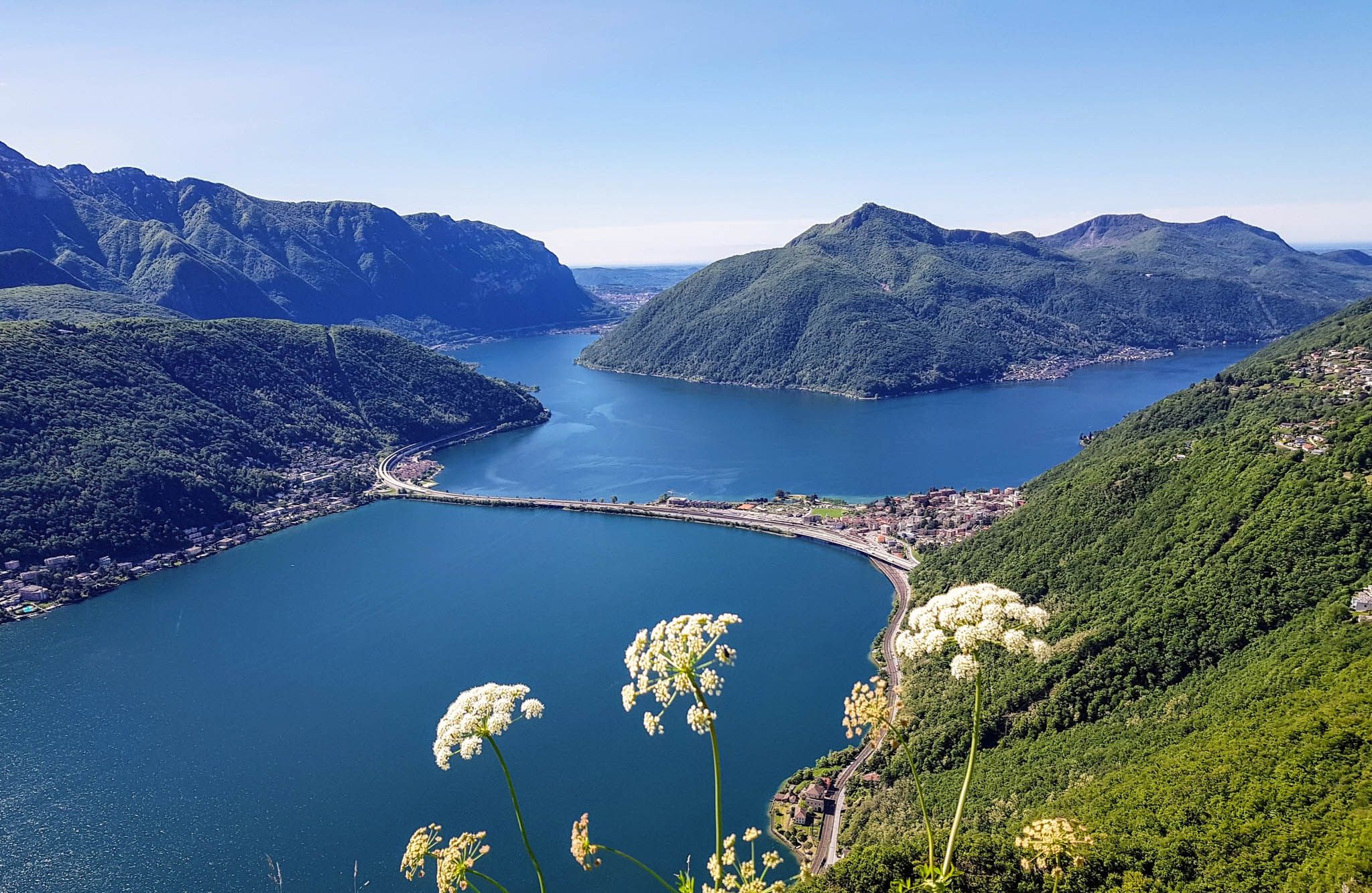
Sentiero Lago di Lugano – Between summits and lakes
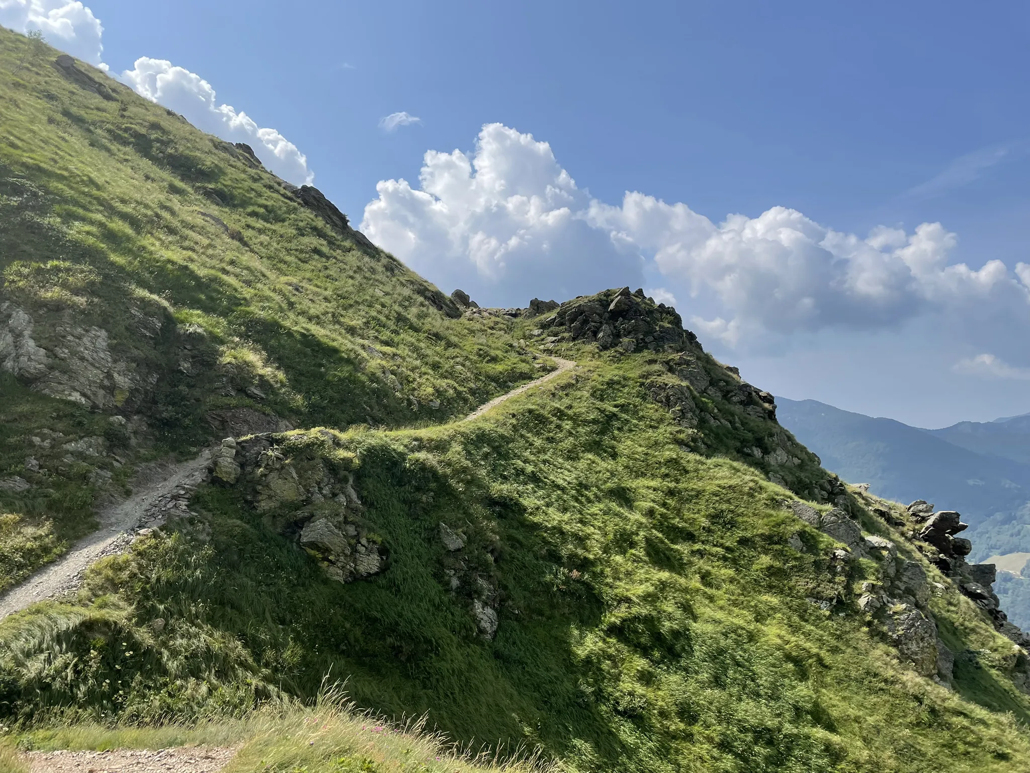
Over the mountains of Tessin - Lugano Bike 66
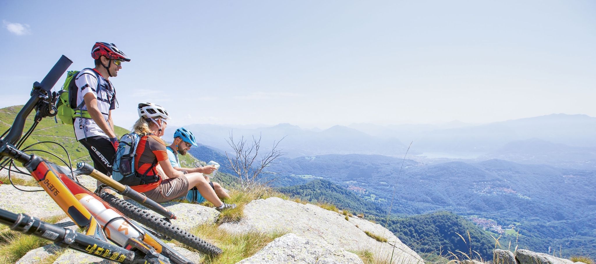
Ride together – the komoot MTB relay through Ticino in Switzerland
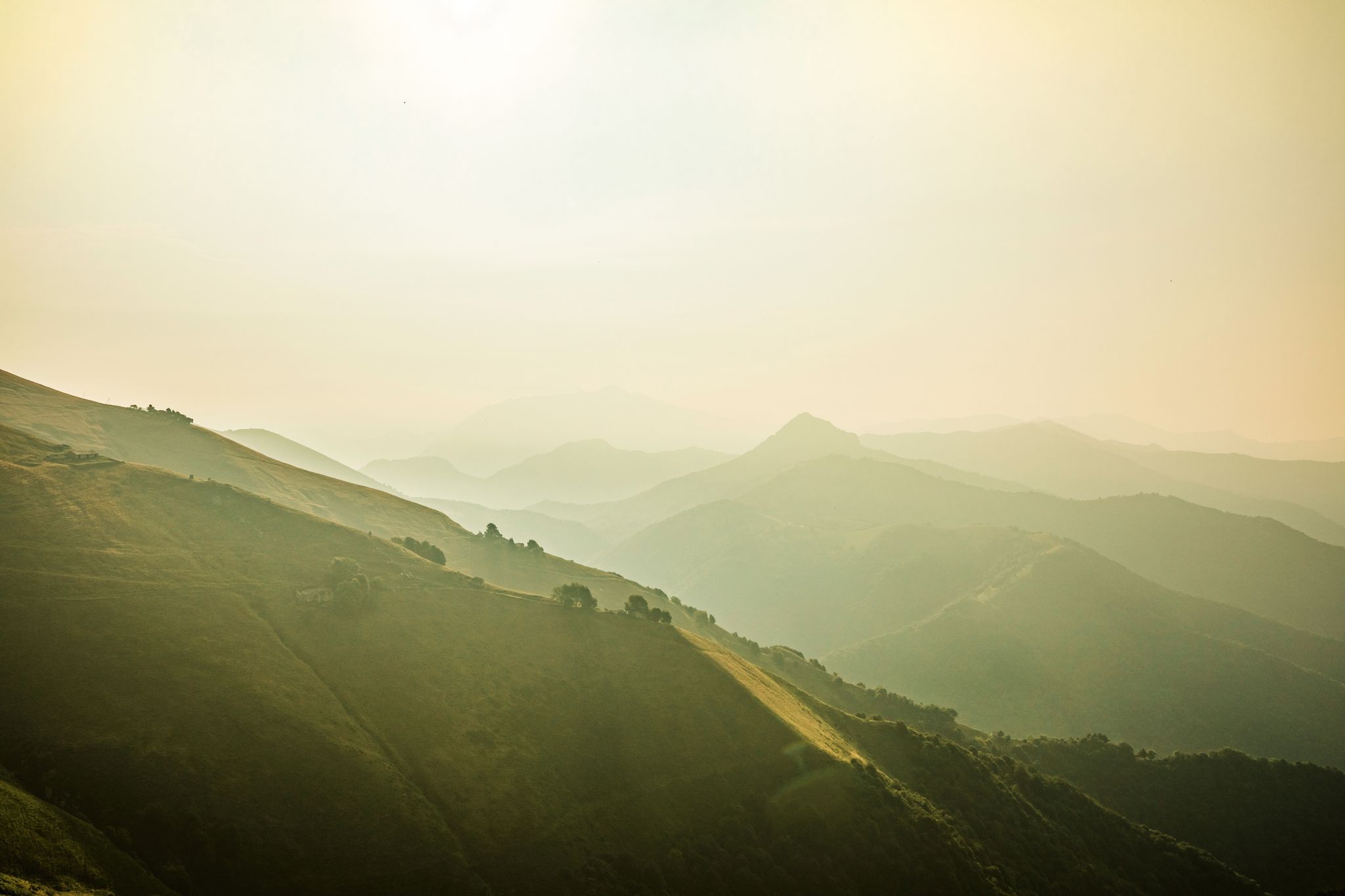
Ticino — Between heaven and formaggini
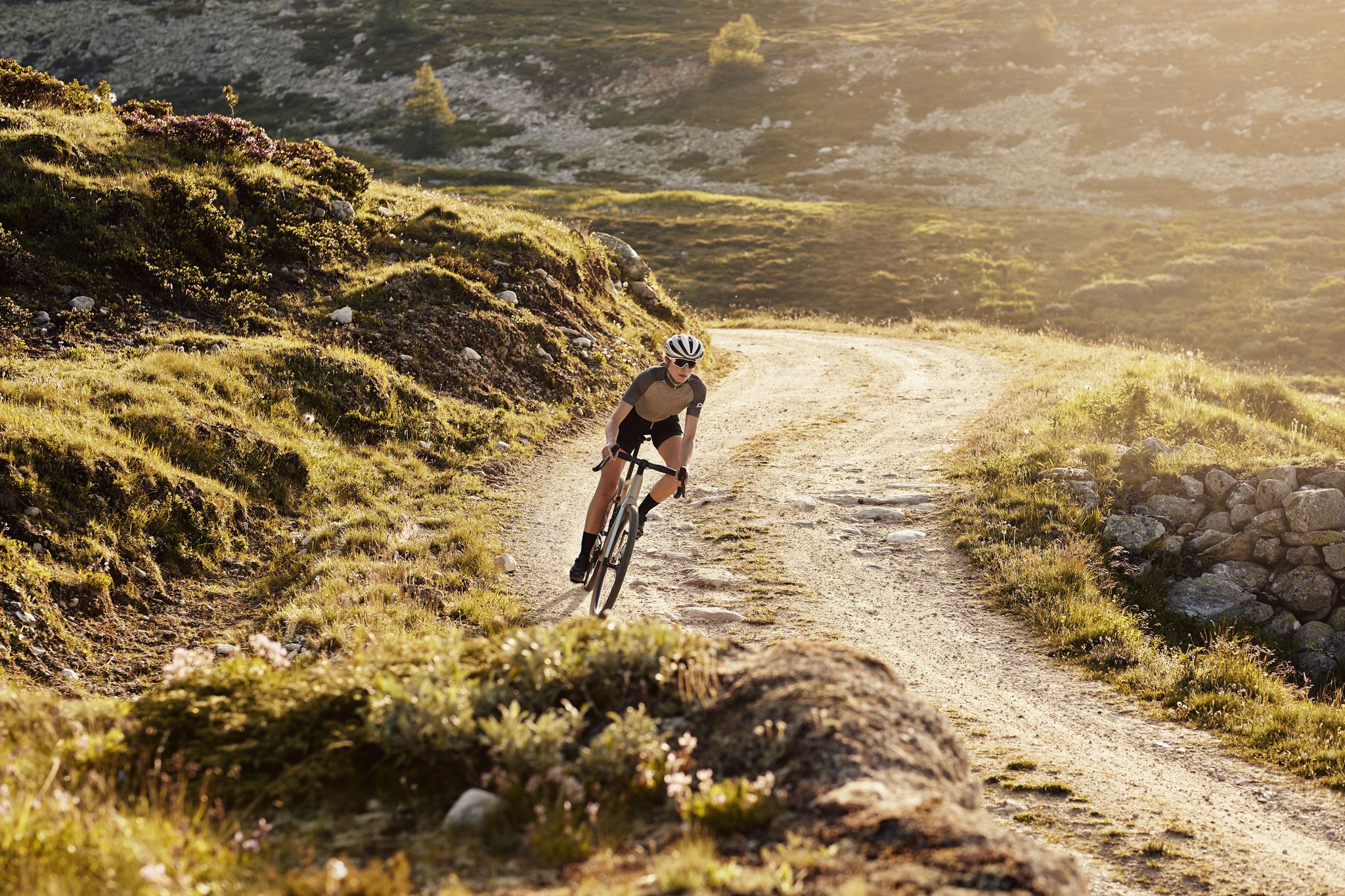
Schottergenuss und Gaumenschmaus – Grand Gourmet Rides durch die Schweiz

Traffic-free bike rides around Miglieglia
Traffic-free bike rides around Miglieglia
Other adventures around Miglieglia


Tips from the Community

Checkpoint Malcantone: Stamp at Monte Faeta Dolci at Cima Pianca At Checkpoint Malcantone you will get your Stamp at Monte Faeata and your Dolci at the Cima Pianca Hut (1.2 km Distance in between). During the day, our Volunteers may hand out Dolci right at the Monte Faeta. But as they have kids, they will welcome you at the Cima Pianca hut at night or in very bad weather.
0
0
Checkpoint Malcantone: Stamp at Monte Faeta Dolci at Cima Pianca At Checkpoint Malcantone you will get your Stamp at Monte Faeata and your Dolci at the Cima Pianca Hut (1.2 km Distance in between). During the day, our Volunteers may hand out Dolci right at the Monte Faeta. But as they have kids, they will welcome you at the Cima Pianca hut at night or in very bad weather.
0
0

Here you take the mountain bike train up Monte Lema. Then you ride the mountain bike down to Italy and then back to Agno.
0
0

Rifugio Campiglio, located on the slopes of Monte Lema, offers a spectacular panoramic view of Lake Maggiore. The facility has restaurant services, a bar and rooms for overnight stays. It is open all year round and for information and contacts you can consult the website: https://rifugiocampiglio.wordpress.com/
1
1

This church in Arosio was dedicated to the Archangel Michael. The name (from the Hebrew language) means "Who is like God?" He is often depicted - in paintings or as a statue - with a flaming sword, occasionally with a lance. Michael is - together with Raphael and Gabriel, and occasionally Uriel is also included - one of the three or four archangels who (according to human belief) occupy the highest rank in the heavenly hierarchy of angelic beings. Their common feast day in the calendar of saints is September 29th.
0
0


The correct spelling is Miglieglia. The photograph represents the village of Breno.
0
0

The church of Arosio, dedicated to Saint Michael the Archangel, is a building dating back to before the year 1000. In the church square you can also admire a fourteenth-century baptistery and the sundial from 1664. Near the church there is one of the few fountains in the area.
1
0
Frequently Asked Questions
How many no-traffic touring cycling routes are available around Miglieglia?
There are over 60 dedicated no-traffic touring cycling routes around Miglieglia, offering a wide range of options for exploring the beautiful Malcantone region. These routes vary in difficulty, with a mix of easy, moderate, and difficult trails to suit different experience levels.
What makes Miglieglia and the Malcantone region ideal for no-traffic touring cycling?
Miglieglia, nestled in the Malcantone region, is renowned for its picturesque villages, extensive chestnut forests, and stunning views of Lake Lugano and Lake Maggiore. The area offers a well-developed network of trails, including sections of the 'Strada verde del Malcantone', specifically designed to minimize traffic exposure, providing a tranquil and immersive cycling experience through diverse landscapes.
What is the best time of year to enjoy no-traffic touring cycling in Miglieglia?
The best time for touring cycling in Miglieglia is typically from spring to autumn. Spring brings lush greenery and pleasant temperatures, while autumn offers spectacular colors in the chestnut forests. Summer is also enjoyable, especially on shaded routes, but can be warmer. Always check local weather conditions before heading out.
Are there any circular no-traffic touring routes around Miglieglia?
Yes, many of the no-traffic touring routes around Miglieglia are circular, allowing you to start and end in the same location. For example, you could try the Church of San Michele – Stagno Agra Nature Reserve loop from Miglieglia, which offers a challenging ride through varied terrain, or the Monte Lema Summit Hostel – Monte Lema Trail loop from Lema for breathtaking panoramic views.
Can I find routes suitable for families with children?
While many routes in the Miglieglia area are rated as moderate to difficult due to elevation changes, there are easier sections and trails that can be adapted for families. Look for routes that pass through villages or along flatter river sections. The region's extensive network allows for shorter, less strenuous rides, especially if you focus on the lower elevations or use e-bikes.
What natural attractions or viewpoints can I see along these routes?
The routes often provide stunning views and access to natural attractions. You can expect panoramic vistas from high points like Monte Lema, which is accessible by cableway from Miglieglia, or Monte San Salvatore. Many trails wind through dense chestnut forests and along the Magliasina river, offering serene natural beauty. The Novaggio Murals – View of Lake Maggiore loop from Curio specifically highlights scenic views.
Are there any historical or cultural points of interest along the way?
Absolutely. The Malcantone region is rich in history and culture. Routes often pass through charming traditional Ticinese villages like Astano, Breno, and Novaggio, featuring ancient stone houses. You can visit the Romanesque Church of Santo Stefano al Colle in Miglieglia with its 16th-century frescoes, or the historic hammer mill between Miglieglia and Aranno on the Magliasina River. The 'Sentiero delle Meraviglie' (Path of Wonders) also showcases historical sites like old mills and castle ruins.
Where can I find parking near the starting points of these routes?
Miglieglia and surrounding villages typically offer public parking facilities, often near the cableway station for Monte Lema or in the village centers. It's advisable to check specific starting points for designated parking areas, especially during peak season, to ensure convenient access to your chosen route.
Is public transport an option to reach the starting points?
Yes, public transport can be a good option. Miglieglia is connected by bus services, and the Monte Lema cableway provides direct access to higher elevation routes. This allows for flexible planning, including one-way routes or reaching starting points without needing a car. Always check current timetables for buses and the cableway.
Are there places to eat or stay along the routes?
The Malcantone region is dotted with picturesque villages that offer various dining and accommodation options. You'll find traditional grottoes, restaurants, and small hotels in villages like Miglieglia, Astano, and Novaggio. For example, the Ritrovo di Neggia restaurant at Alpe di Neggia pass is a popular stop. Many routes pass through these villages, making it easy to plan refreshment stops or overnight stays.
What do other touring cyclists say about cycling in Miglieglia?
The touring cycling routes around Miglieglia are highly rated by the komoot community, with an average score of 4.3 stars. Reviewers often praise the quiet, traffic-free nature of the trails, the stunning panoramic views, and the opportunity to explore charming Ticinese villages and dense chestnut forests. Many highlight the well-maintained paths and the rewarding challenge of the climbs.
Are there any routes with minimal road crossings for a truly car-free experience?
The focus of these routes is to minimize traffic exposure, and many sections utilize dedicated cycling paths, forest trails, and quiet country roads with very few car crossings. The 'Strada verde del Malcantone' is a prime example of a route designed for a serene, car-free experience. While some routes may have occasional road crossings, they are generally well-marked and infrequent, ensuring a peaceful ride.
Most popular routes around Miglieglia
Most popular attractions around Miglieglia

Get inspired with the komoot mobile app


Explore more
Browse the best Cycling routes in other regions.
