The best traffic-free bike rides around Tujetsch
4.5
(456)
13,447
riders
22
rides
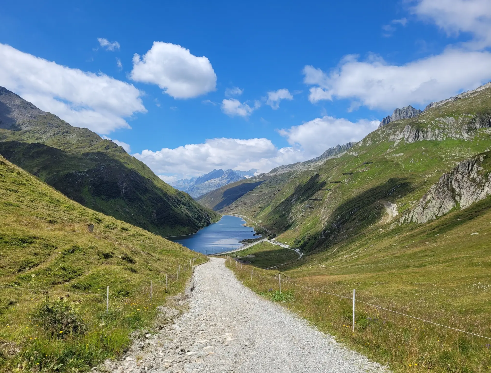
No traffic touring cycling routes around Tujetsch are characterized by a distinct alpine environment, situated near the source of the Vorderrhein river and at the entrance to the Oberalp Pass. The region features significant mountainous terrain, offering routes with substantial elevation changes. Beyond the high passes, cyclists can navigate through picturesque river valleys and past tranquil lakes, providing a diverse range of scenery. This area is also connected to the Rhine Cycle Route, offering extensive paved surfaces for touring.
Best…
Last updated: July 12, 2026
4.5
(12)
214
riders
87.0km
06:38
2,030m
2,030m
Hard bike ride. Very good fitness required. Mostly paved surfaces. Suitable for all skill levels.
5.0
(10)
133
riders
Hard bike ride. Very good fitness required. Mostly paved surfaces. Suitable for all skill levels.

Sign up for free
4.4
(5)
59
riders
16.5km
01:33
370m
370m
Moderate bike ride. Good fitness required. Mostly paved surfaces. Suitable for all skill levels.
3.0
(3)
43
riders
15.9km
01:30
570m
570m
Hard bike ride. Very good fitness required. Mostly paved surfaces. Suitable for all skill levels.
36
riders
25.0km
02:48
900m
900m
Hard bike ride. Very good fitness required. Mostly paved surfaces. Suitable for all skill levels.
Get access to more routes and recommendations from other explorers.
Sign up for free
Already have an account?
Our route recommendations are based on thousands of hikes, rides, and runs completed by other people on komoot.
Start today with a free account
Your next adventure awaits.
Login or Signup
Popular around Tujetsch
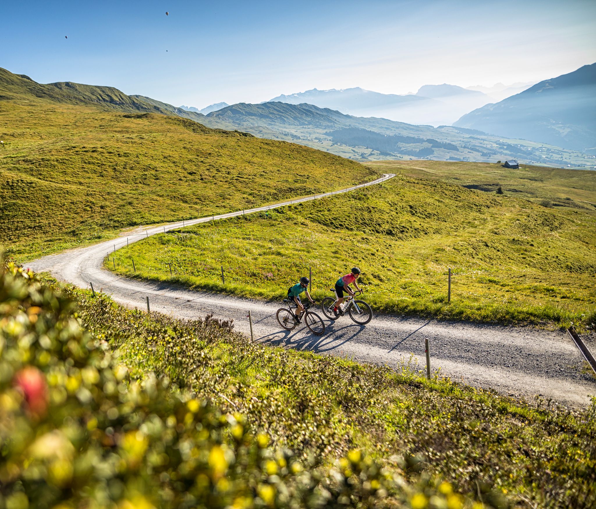
The six most beautiful gravel routes in Graubünden
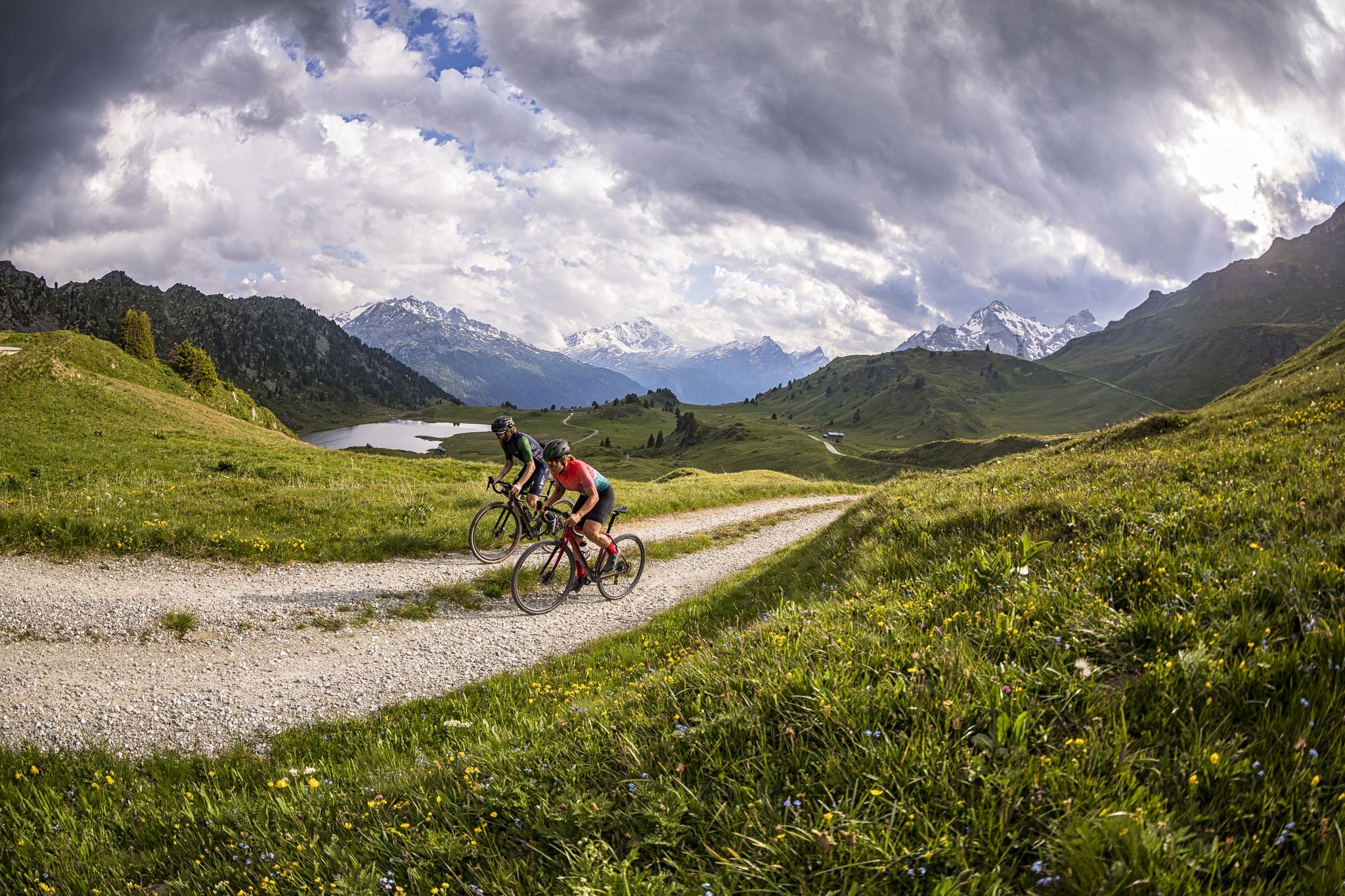
A gravel biking Menu for Switzerland’s Grisons
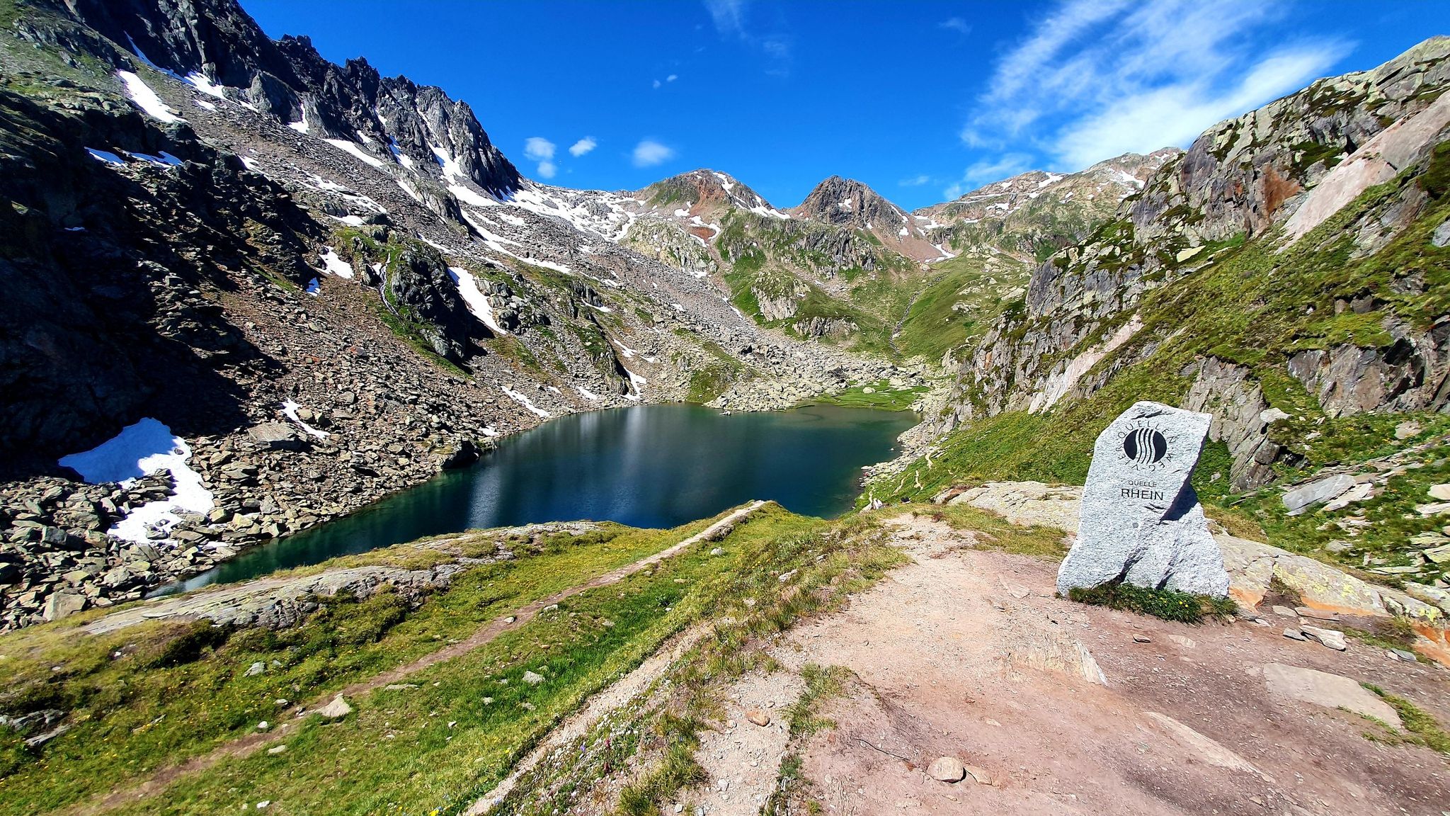
Four Springs Trail — Find flow in Switzerland's Gotthard Massif
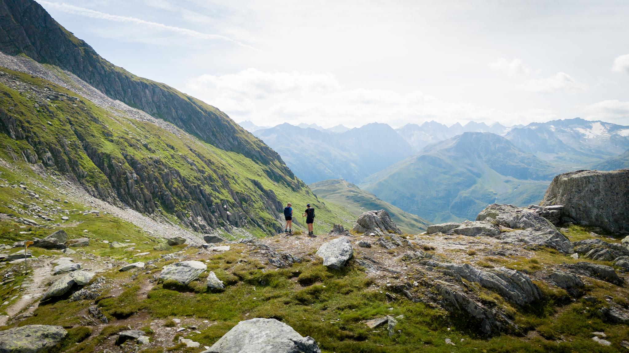
On the hunt for crystals and alpine lake magic – Gotthard Crystal Trek
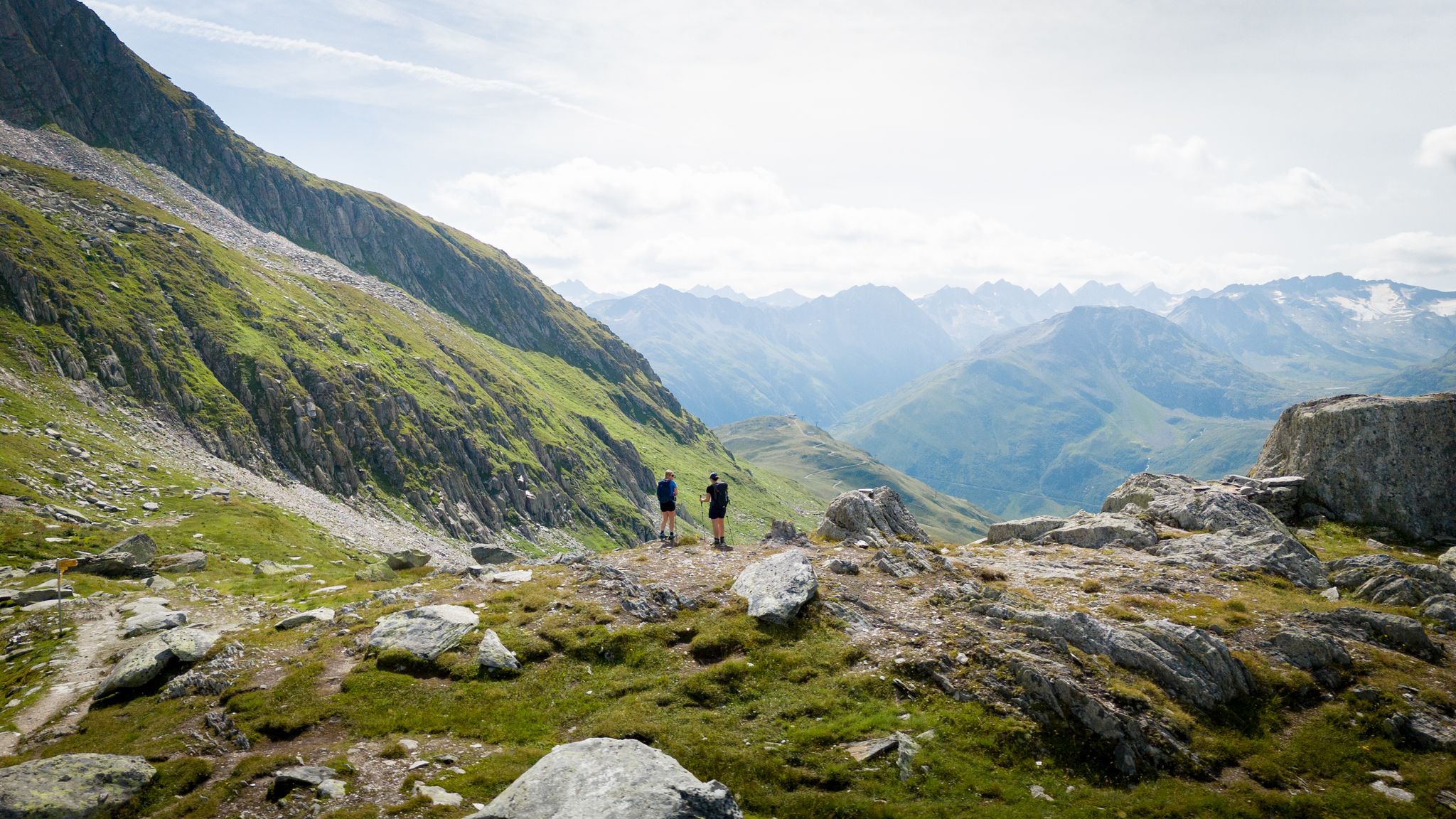
On the hunt for crystals and alpine lake magic – Gotthard Crystal Trek
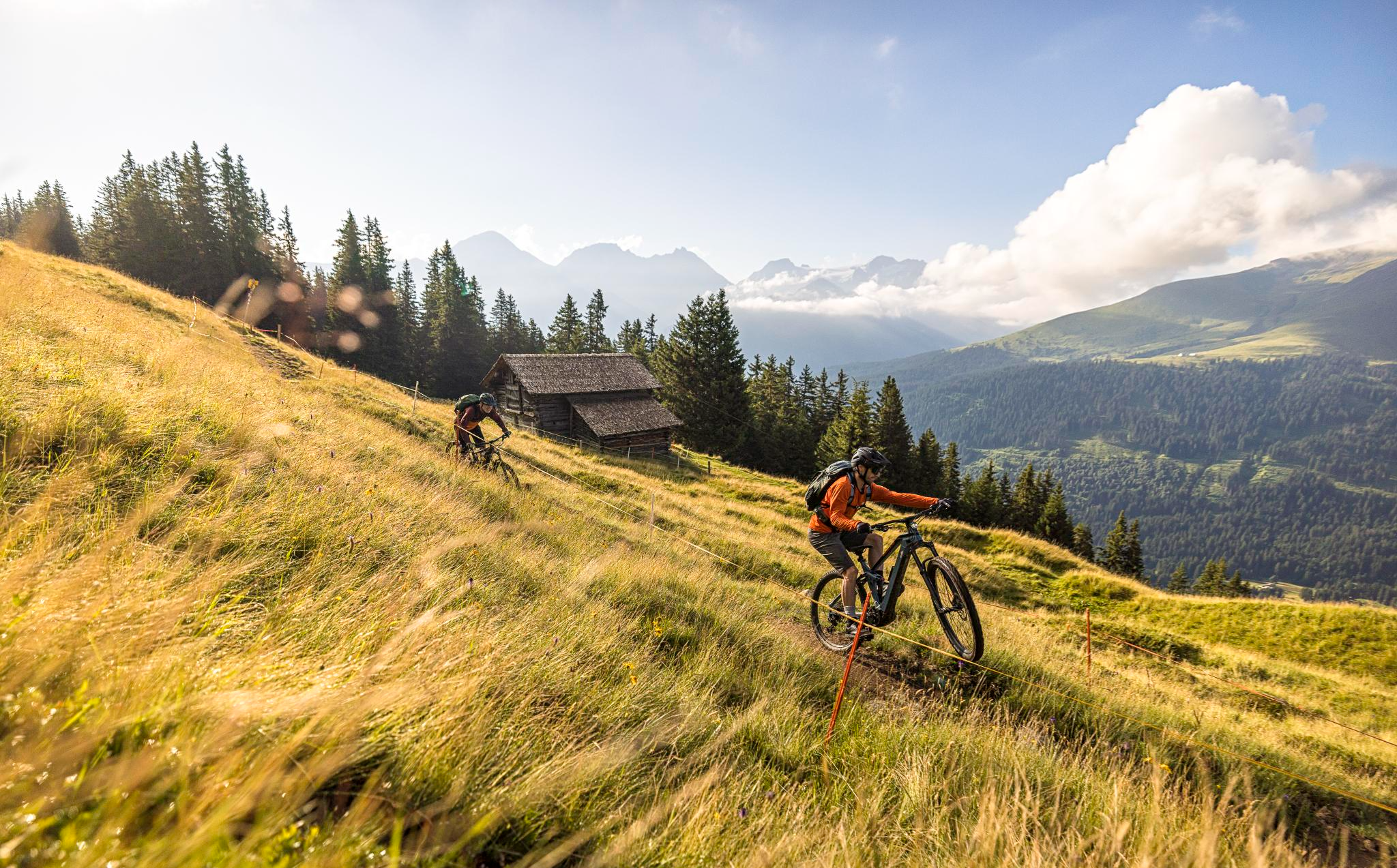
Flowy MTB trails with wonderful views – the best of Disentis Sedrun
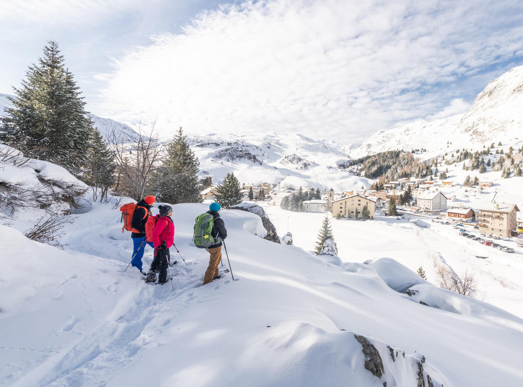
Snowshoe Safari – snowshoe trails through Graubünden
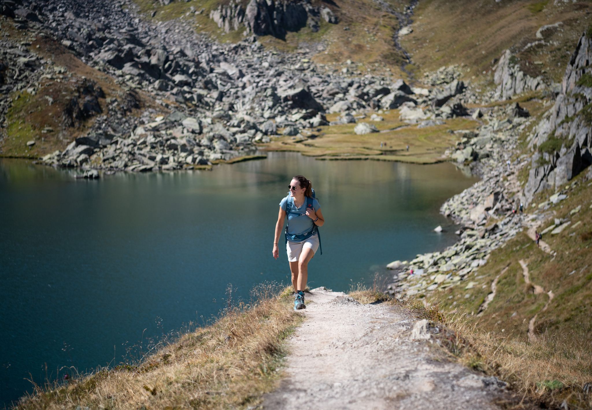
Varied hikes around the source of the mighty Rhine

On ancient paths towards Santiago — the Way of St. James Graubünden
Senda Sursilvana – lungo il Giovane Reno tra natura e tradizione
Other adventures around Tujetsch


Tips from the Community

beautiful valley to spend time outdoors
0
0

After the big climb to get to this village, we were very happy to find a public drinking fountain to fill up our water bottles!
0
0

Sedrun, in the heart of the Tujetsch Valley, is an unmissable stop along the Senda Sursilvana. Splendid hiking trails depart from here, passing through forests, mountain pastures, and spectacular Alpine panoramas. It's the ideal spot for those who love walking in the unspoiled nature of the Surselva.
2
0

Oberalp Pass (2,044 m). The highest lighthouse in the world is located here. It is a replica of the "Hoek van Holland" lighthouse, which served for 70 years (from 1900 to 1970) at the mouth of the Rhine in Rotterdam. It serves as a reminder that the source of the Rhine is not far from the Oberalp Pass: it is located at Lake Toma (Lai da Tuma).
0
0


Wonderful Alpine view along the valley of the the Vorderrhein, or Anterior Rhine. The majestic peak of the Piz Run rises above you from the opposite side of the river.
0
0

Mini lighthouse, as a funny idea to mark the beginning of the Rhine.
1
0
The Oberalp Pass is a very special pass because it is the location of a lighthouse with a beacon - in the middle of the Alps.
2
0
Frequently Asked Questions
How many no-traffic touring cycling routes are available in Tujetsch?
There are 23 dedicated no-traffic touring cycling routes in Tujetsch. These routes offer a range of difficulties, with 1 easy, 4 moderate, and 18 difficult options, ensuring a suitable ride for various experience levels.
What kind of scenery can I expect on these traffic-free routes in Tujetsch?
Tujetsch's traffic-free routes offer spectacular alpine scenery, from the high mountain passes like Oberalp to picturesque valleys and tranquil lakes. You'll experience demanding climbs with rewarding vistas, often near the source of the Vorderrhein river, and dramatic features like the Schöllen Gorge on longer loops. Many routes feature predominantly paved surfaces, making them ideal for touring cyclists.
Are there any easy, traffic-free touring cycling routes for beginners in Tujetsch?
Yes, there is at least one easy, traffic-free touring cycling route perfect for beginners. The Cycle path – Andermatt train station loop from Andermatt is an 11.3 km ride with minimal elevation gain, offering a gentle introduction to touring cycling in the region.
What do other cyclists say about the no-traffic touring routes in Tujetsch?
The komoot community highly rates the touring cycling experience in Tujetsch, with an average score of 4.3 out of 5 stars from over 100 ratings. Reviewers frequently praise the stunning alpine scenery, the challenge of the mountain passes, and the diverse terrain that makes for a rewarding ride.
Are there any family-friendly, traffic-free cycling options in Tujetsch?
While many routes in Tujetsch are categorized as difficult due to significant alpine climbs, the region does offer some easier sections. The Cycle path – Andermatt train station loop from Andermatt is an easy option that could be suitable for families looking for a less strenuous ride on paved, traffic-free paths.
Can I find places to eat or stay along the traffic-free routes?
Yes, the region offers amenities for cyclists. Mountain huts like Maighelshütte are popular stops, providing refreshments and sometimes accommodation. Villages along the routes, such as Disentis and Sedrun, also offer cafes, pubs, and hotels that cater to visitors.
What are some notable landmarks or points of interest I might see on these routes?
Beyond the natural beauty, you might encounter impressive structures like the Bugnei Viaduct, which features in routes such as the Bugnei Viaduct – Railroad viaduct near Bugnei loop from Rueras. The region is also known for its connection to the Rhine Cycle Route, passing near the source of the Vorderrhein river, and offering views towards landmarks like Disentis Abbey.
How can I access these traffic-free cycling routes using public transport?
Tujetsch is well-connected by public transport, particularly the Matterhorn Gotthard Railway, which runs through the region. Many routes start or pass near train stations like Tschamut-Selva or Andermatt, making it convenient to reach trailheads. Local buses also operate and can often transport bikes, though it's advisable to check specific schedules and bike transport policies in advance.
Where can I park my car to access traffic-free cycling trails in Tujetsch?
Parking is generally available in the main villages and starting points for routes, such as Acla da Fontauna or Rueras. For specific routes, like those near Bugnei or Disentis/Sedrun, designated parking areas are usually provided to facilitate access for cyclists.
What is the best time of year to enjoy traffic-free touring cycling in Tujetsch?
The best time for touring cycling in Tujetsch is typically during the warmer months, from late spring to early autumn (June to September). During this period, mountain passes are generally clear of snow, and the weather is most favorable for enjoying the alpine landscapes. Some higher-altitude routes might still have snow earlier or later in the season.
Are there any circular no-traffic touring cycling routes available?
Yes, many of the traffic-free touring cycling routes in Tujetsch are designed as loops. Examples include the Mumpé Tujetsch – Segnas – Railroad viaduct near Bugnei loop from Acla da Fontauna and the View of the Lepontine Alps – Cavadiras Village and Church loop from Acla da Fontauna, allowing you to start and end at the same point without retracing your path.
Are there any specific challenges to be aware of on the difficult traffic-free routes?
The difficult traffic-free routes in Tujetsch, such as the Maiensäss settlement Milez – Tschamut-Selva train station loop from Rueras, involve substantial elevation changes characteristic of the alpine environment. Cyclists should be prepared for demanding climbs and descents, often on paved surfaces, and ensure their fitness level is appropriate for the chosen route.
Most popular routes around Tujetsch
Most popular attractions around Tujetsch

Get inspired with the komoot mobile app


Explore more
Browse the best Cycling routes in other regions.
