The best traffic-free bike rides around Avers
4.9
(96)
3,824
riders
3
rides
Road cycling around Avers offers routes through a high Alpine valley in the Swiss canton of Graubünden, characterized by elevations between approximately 1670 and 2126 meters above sea level. The landscape features wide meadows, steep mountain slopes, and peaks exceeding 3000 meters. The Avers Rhine, a tributary in the Posterior Rhine basin, carves through the valley, providing a tranquil natural setting for cycling. This region is known for its challenging climbs over mountain passes and winding paths through alpine valleys.
…Last updated: October 15, 2026
4.9
(11)
218
riders
44.4km
02:33
1,030m
1,030m
Hard road ride. Very good fitness required. Mostly well-paved surfaces and easy to ride.
5.0
(1)
20
riders
28.5km
01:36
620m
620m
Moderate road ride. Good fitness required. Mostly well-paved surfaces and easy to ride.

14
riders
14.3km
01:07
490m
490m
Moderate road ride. Good fitness required. Mostly well-paved surfaces and easy to ride.
14
riders
40.2km
02:27
1,070m
1,070m
Hard road ride. Very good fitness required. Mostly well-paved surfaces and easy to ride.
12
riders
18.7km
01:07
480m
480m
Moderate road ride. Good fitness required. Mostly well-paved surfaces and easy to ride.
Our route recommendations are based on thousands of hikes, rides, and runs completed by other people on komoot.
Start today with a free account
Your next adventure awaits.
Popular around Avers
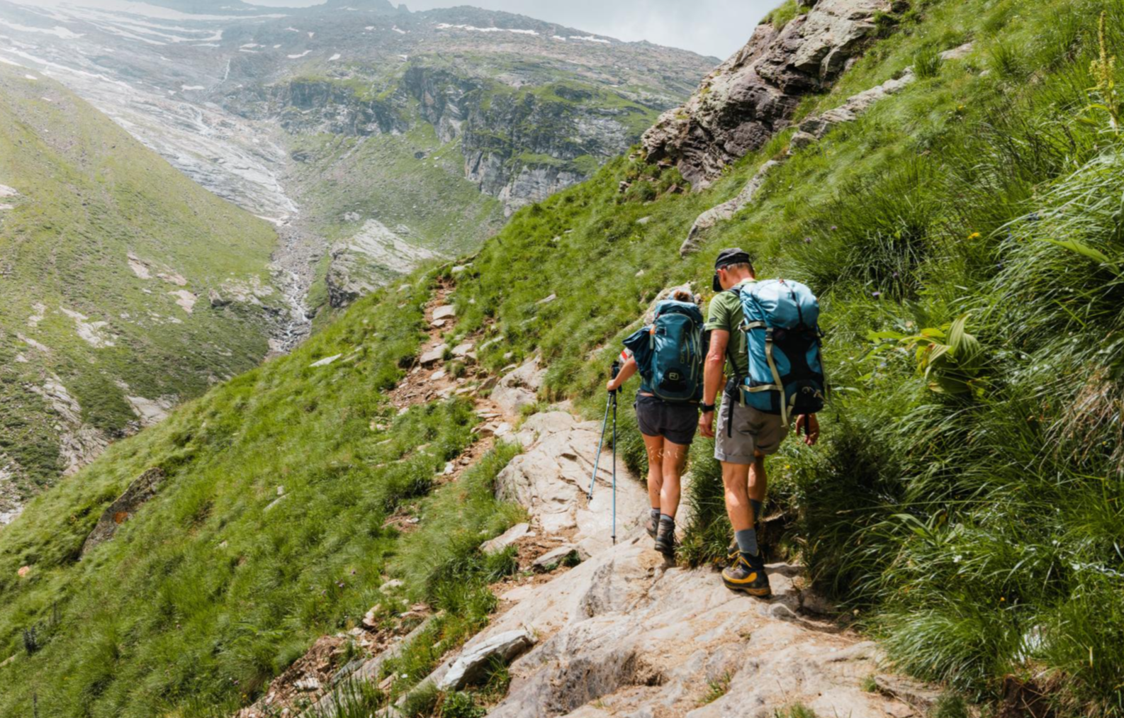
Mountain worlds and gorge magic – adventure hikes in the Viamala Region
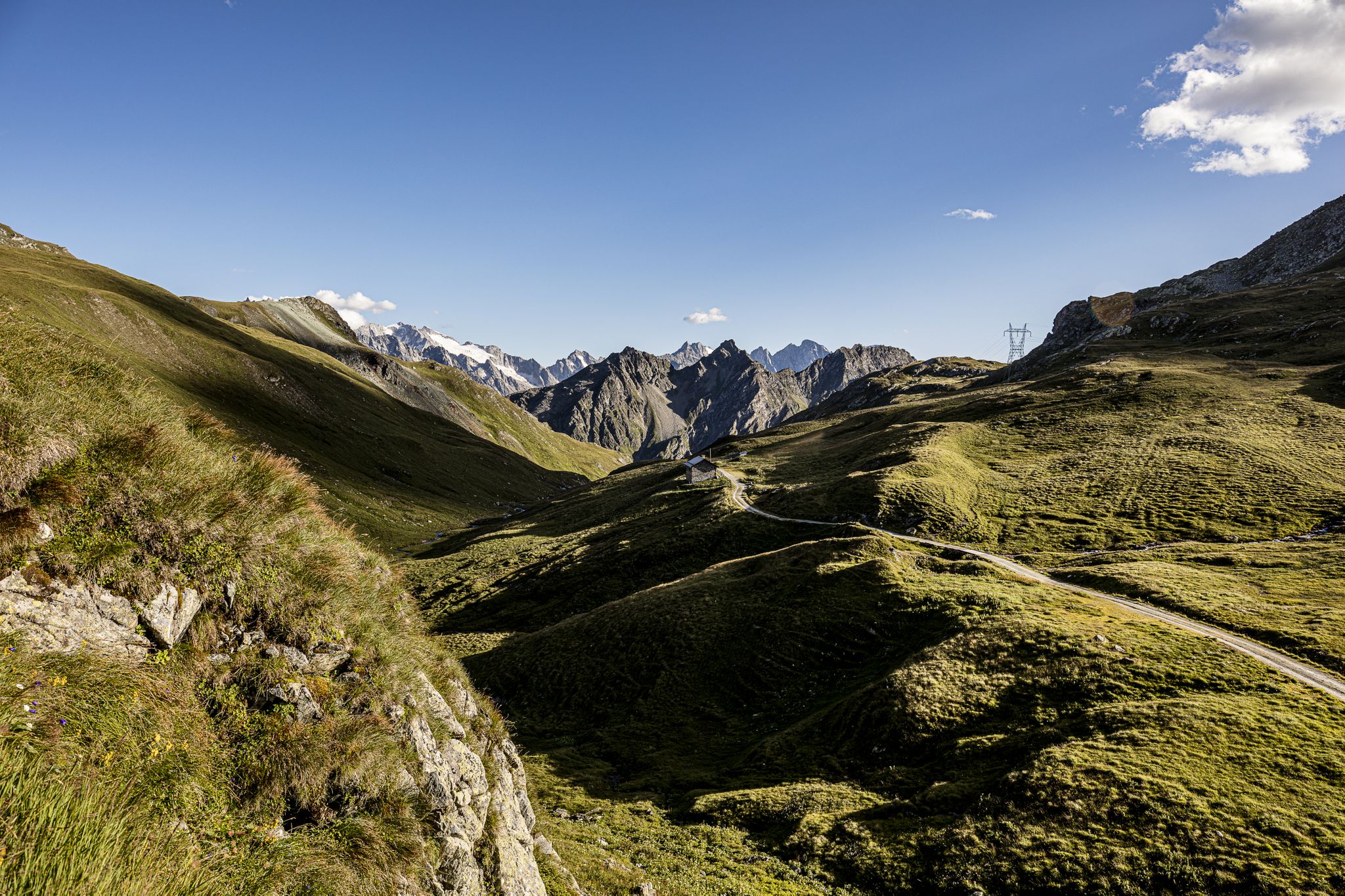
Parc Ela Trek – 17 days of trekking in the heart of Europe
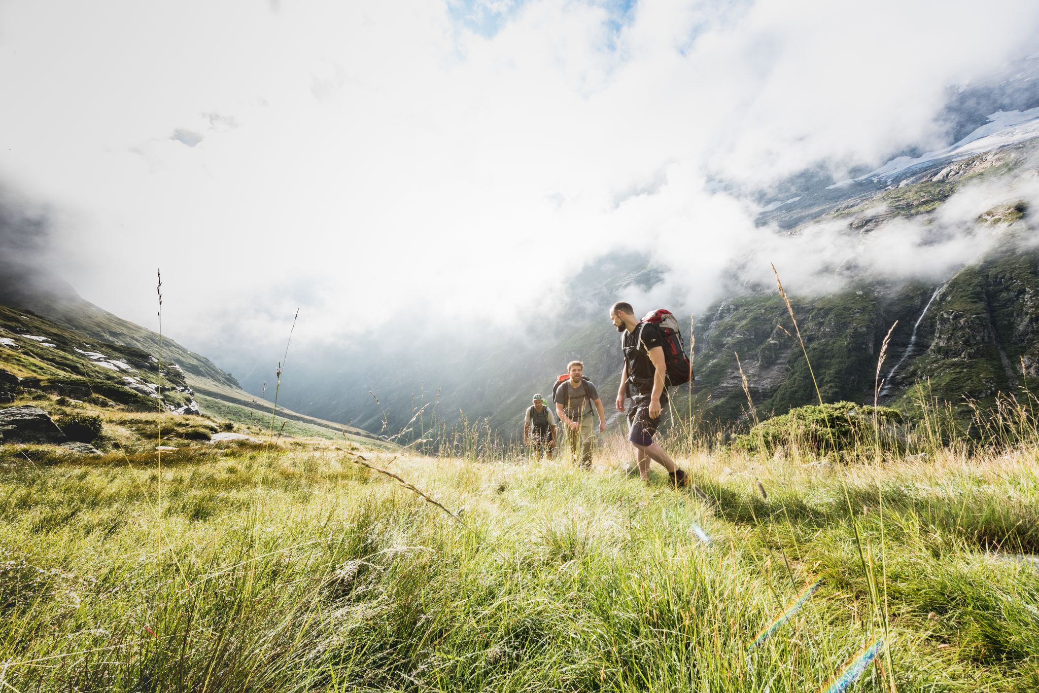
Over hill & dale – Viamala Hiking Paradise
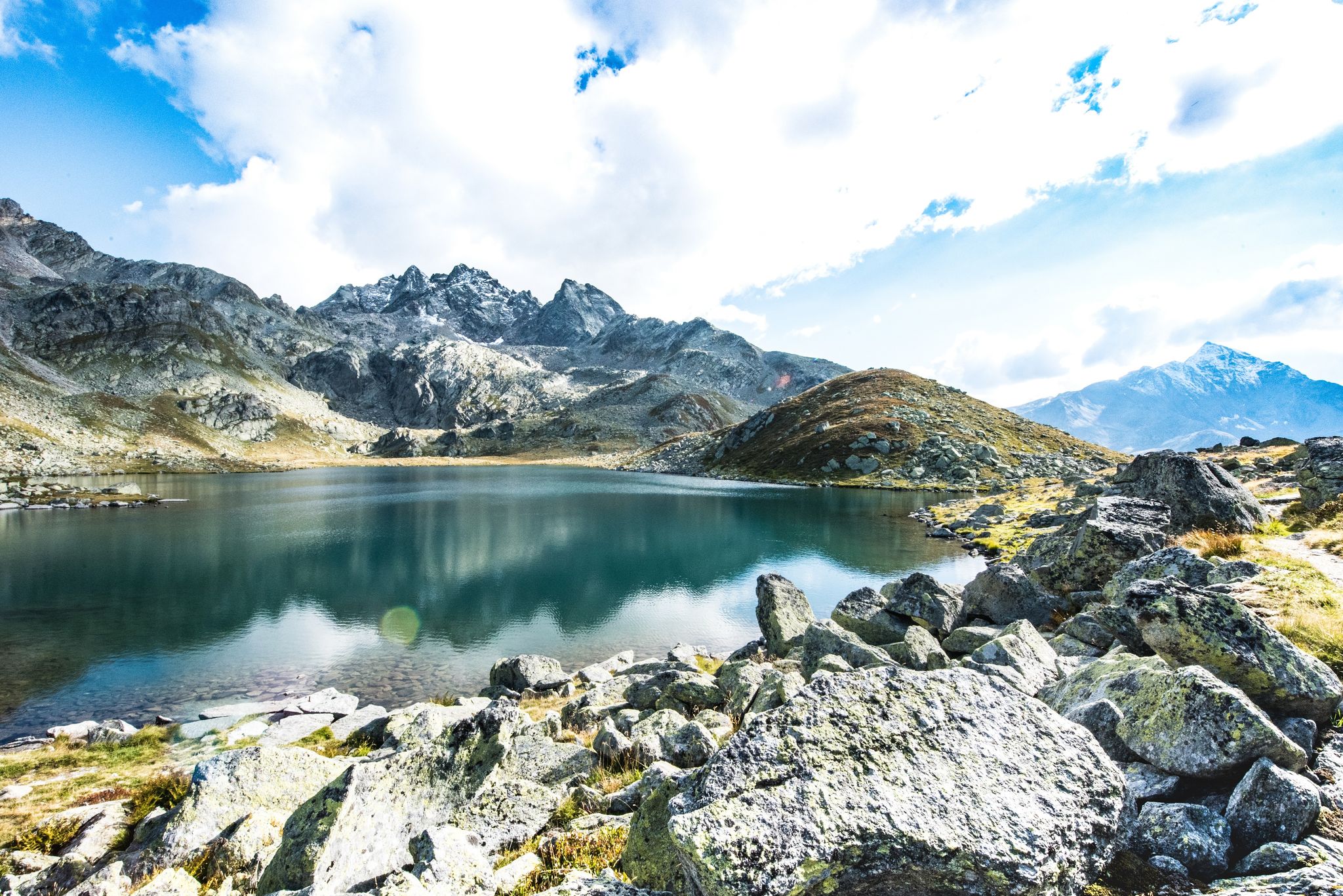
Viamala – a hiking paradise in the heart of the Grisons in Switzerland
Traffic-free bike rides around Avers
Traffic-free bike rides around Avers
Other adventures around Avers


Tips from the Community

Beautiful destination for a bike tour with several places to stop in the highest permanently inhabited village in Europe. The well-developed, beautiful road leading up here is not heavily trafficked, as there is no through traffic. You also have to take the same road back down.
0
0
The switchbacks significantly ease the steep section that the valley has at this point. Nice section.
0
0
The 27 inhabitants of Europe's highest village apparently all live directly or indirectly from tourism. Either in gastronomy or in the agriculture that supplies it.
0
0


This small Alpine valley encompasses four hamlets in the municipality of Campodolcino: Starleggia, Cà De Luc, Splughetta, and San Sisto, surrounded by 11 mountain pastures, nestled in a splendid landscape stretching between 1,200 and 3,013 meters above sea level. Today, the hamlets are only partially used during the summer months, despite having been permanently inhabited until 1985. They are characterized by numerous small stone and/or wooden buildings (carden), all covered with typical stone slabs (piote). There are also some very interesting ancient buildings, such as the bell tower (built on a Roman-era structure), the rectory (12th century), and the Church of San Sisto (16th century).
0
0

Great way to refill your bike bottles or cool your head.
0
0


Beautiful stone fountain in Campodolcino
0
0
Frequently Asked Questions
How many no-traffic road cycling routes are available in Avers?
Avers offers a selection of 3 dedicated no-traffic road cycling routes. These routes are all rated as moderate, providing a challenging yet rewarding experience through the high Alpine landscape.
What makes road cycling in Avers unique for those seeking no-traffic routes?
Avers is renowned for its high Alpine environment, offering sparsely populated, tranquil roads perfect for no-traffic cycling. You'll experience challenging climbs, winding roads through picturesque valleys, and stunning views of peaks over 3000 meters, all with minimal vehicle interference. The region's superb roads and unspoiled scenery are a major draw.
Are there any circular no-traffic road cycling routes in Avers?
Yes, several routes offer circular options. For instance, the Dam – Juf (2,126 m) loop from Avers is a moderate 27 km ride with over 760 meters of elevation gain, taking you through the heart of the valley. Another option is the Juf Village loop from Juf, covering 18.6 km with around 480 meters of ascent.
What are some notable landmarks or points of interest along the no-traffic road cycling routes in Avers?
Many routes will take you past or near significant points of interest. You'll likely encounter Juf, the highest permanently inhabited settlement in Europe, at 2,126 meters above sea level. The routes also offer views of the Avers Rhine valley and the surrounding dramatic mountain scenery. For those interested in local architecture, the Evangelical Reformed Church in Innerferrera is another highlight.
What is the typical difficulty level for no-traffic road cycling routes in Avers?
The no-traffic road cycling routes in Avers are generally considered moderate. They feature demanding climbs and significant elevation gains, characteristic of high Alpine cycling. For example, the Ragn da Ferrera – Juf (2,126 m) loop from Ausserferrera covers 23.5 km with nearly 500 meters of climbing, offering a substantial workout.
Are there any places to stop for refreshments or accommodation along the no-traffic routes?
While Avers is sparsely populated, you can find options for refreshment and accommodation. Settlements like Juf offer basic services. There are also several mountain huts in the broader region, such as Berghaus Piz Platta or Tigia Ski and Hiking Hut, which can provide a welcome break or overnight stay. Always check opening times in advance, especially outside peak season.
What do other cyclists say about the no-traffic road cycling experience in Avers?
The komoot community highly rates the cycling experience in Avers, with an average score of 4.8 stars from 53 ratings. Reviewers frequently praise the stunning, unspoiled Alpine scenery, the challenging yet rewarding climbs, and the peaceful, car-free nature of the routes, making it an ideal destination for focused road cycling.
What kind of natural features can I expect to see while cycling in Avers?
Avers offers a dramatic high Alpine landscape. You'll cycle through wide meadows, past steep mountain slopes, and alongside the Avers Rhine. The region is characterized by its elevation, with routes often reaching over 2000 meters, providing panoramic views of surrounding peaks. You might also spot ancient larches and Swiss stone pines, adding to the unique natural beauty.
Is it possible to access the no-traffic road cycling routes in Avers using public transport?
Avers is part of the Graubünden canton, which generally has good public transport connections. While specific details for bike transport vary, it's often possible to reach starting points of routes like those from Avers or Ausserferrera via bus services that connect the valley. It's advisable to check local public transport schedules and bike carriage policies beforehand.
Are there any shorter no-traffic road cycling options for a quicker ride?
Yes, if you're looking for a shorter, yet still scenic, no-traffic ride, consider the Drinking Water Fountain – Starleggia loop from Campodolcino. This route is approximately 14.2 km long with around 485 meters of elevation gain, offering a compact but engaging cycling experience.
What is the highest point reached on these no-traffic road cycling routes?
Many routes in Avers lead to or pass through Juf, which is Europe's highest-altitude year-round settlement at 2,126 meters above sea level. Routes like the Dam – Juf (2,126 m) loop from Avers specifically highlight reaching this elevation, offering a significant high-altitude cycling experience.
Most popular attractions around Avers

Get inspired with the komoot mobile app


Explore more
Browse the best Road cycling routes in other regions.
