The best hikes from bus stations around Laupen
4.5
(785)
7,176
hikers
48
hikes
Bus station hiking trails around Laupen are characterized by a diverse landscape at the confluence of the Sense and Saane rivers, offering varied terrain for outdoor activities. The region features significant waterways, including the Sense and Schwarzwasser rivers, alongside forests, fields, and nature reserves like Bolleymoos and Auried. This area provides a mix of riverside paths, forest trails, and routes through the historical town center.
Best bus station hiking trails around Laupen
- The most popular bus station hiking route is…
Last updated: October 15, 2026
4.8
(16)
85
hikers
18.3km
05:12
400m
400m
Hard hike. Very good fitness required. Easily-accessible paths. Suitable for all skill levels.
4.4
(9)
84
hikers
Easy hike. Great for any fitness level. Easily-accessible paths. Suitable for all skill levels.

4.4
(9)
57
hikers
Moderate hike. Good fitness required. Easily-accessible paths. Suitable for all skill levels.
4.7
(7)
21
hikers
Hard hike. Very good fitness required. Mostly accessible paths. Sure-footedness required.
3.6
(5)
24
hikers
Moderate hike. Good fitness required. Easily-accessible paths. Suitable for all skill levels.
Get access to more routes and recommendations from other explorers.
Already have an account?
Our route recommendations are based on thousands of hikes, rides, and runs completed by other people on komoot.
Start today with a free account
Your next adventure awaits.
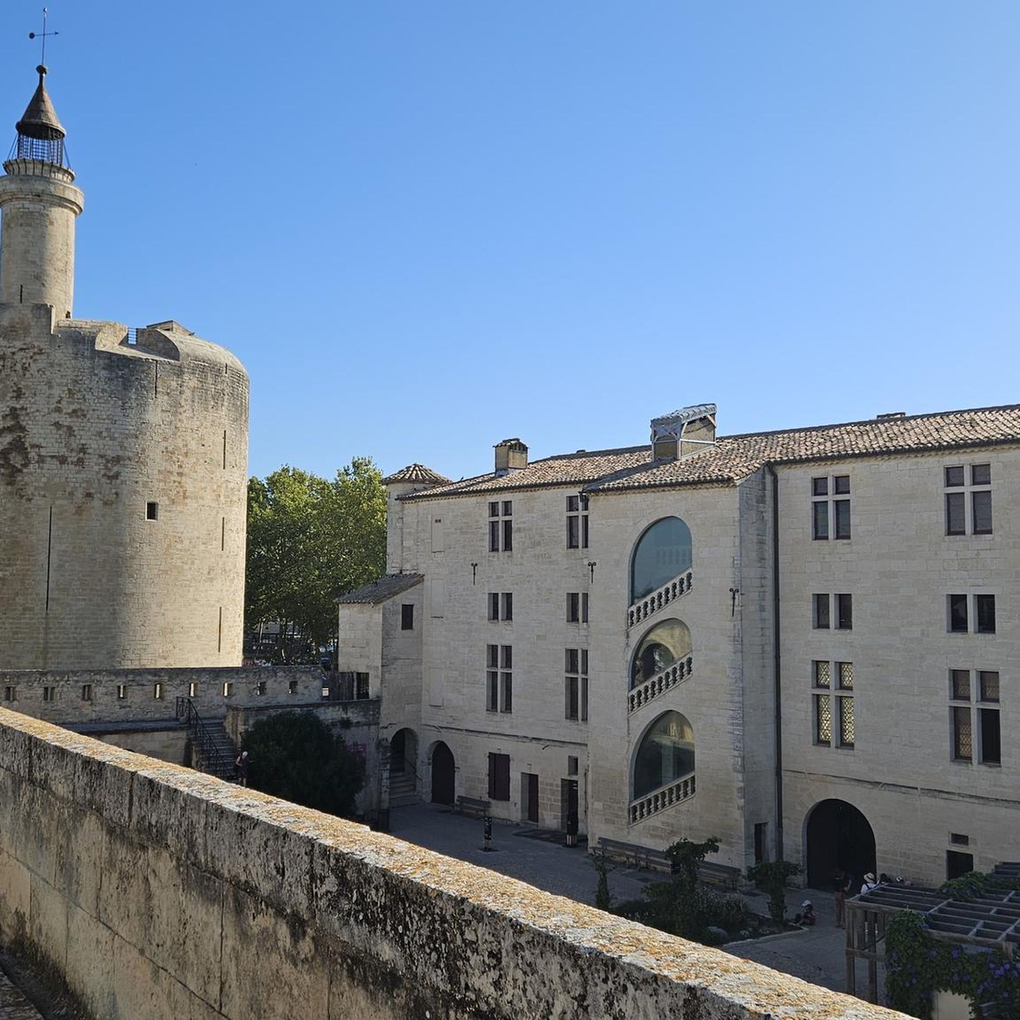

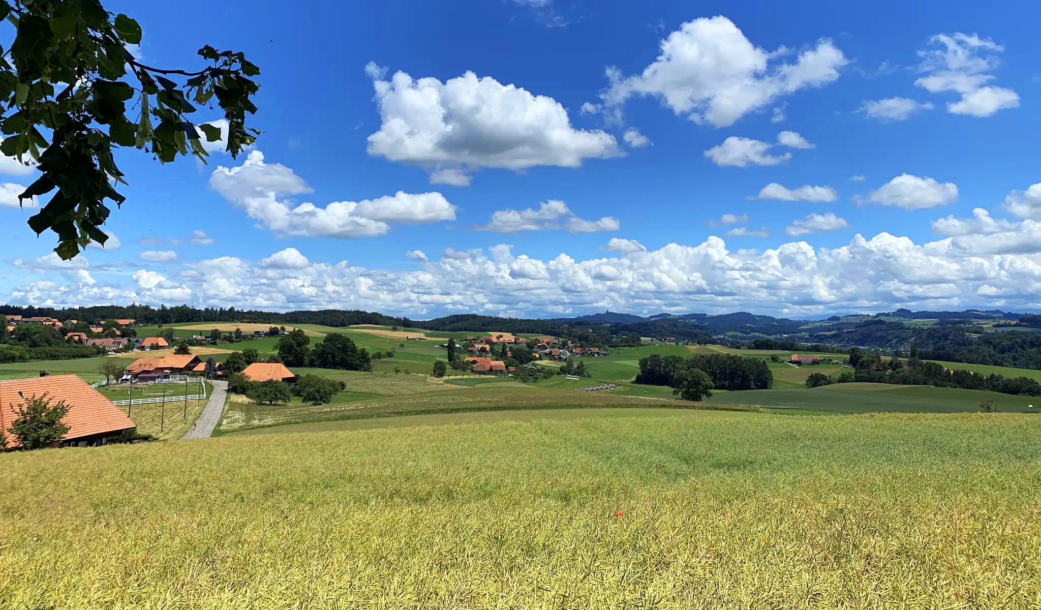
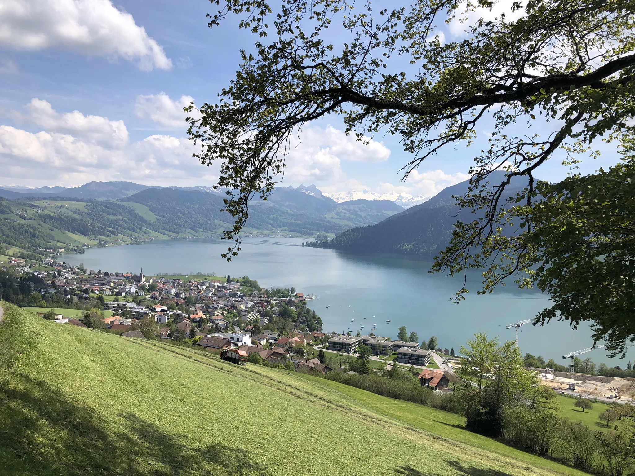
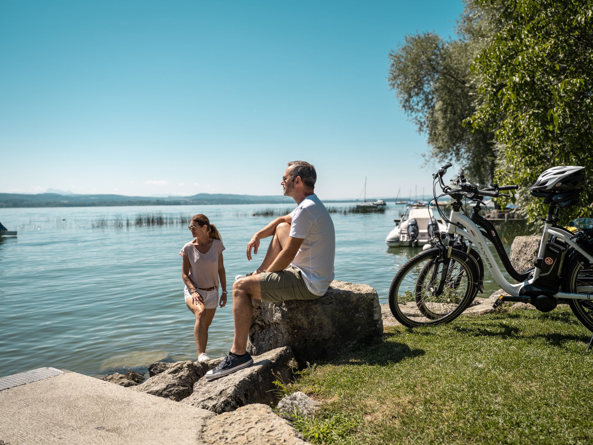
Other adventures around Laupen


Tips from the Community

unworthy of a national cycle path. This again shows the strengths of Swiss transport policy: great at signage, weak when it comes to removing obstacles.
2
0

Is a very nice path. Unfortunately, the last part is currently closed (as of March 19, 2026)
0
0


Sense bank instead of Aare
1
0

On Sundays and public holidays and of course when the weather is nice, the area is overpopulated.
0
0
It's easy to do in uncertain weather; it's no problem if you get caught in the rain. The route is absolutely safe.
0
0

Beautiful old wooden bridges allow you to easily change the bank side
0
0

Beautiful nature, pure relaxation!
0
0
Frequently Asked Questions
How many hiking trails are accessible from bus stations around Laupen?
There are over 50 hiking trails around Laupen that are easily accessible from various bus stations, offering a wide range of experiences for all skill levels.
Are there easy hiking trails accessible from bus stations in Laupen?
Yes, Laupen offers many easy hiking trails accessible by bus. For instance, the Sense River near Thörishaus – Riederen Bridge loop from Thörishaus is an easy 5.5 km route that follows the scenic Sense River.
What kind of natural features can I expect to see on bus-accessible hikes in Laupen?
The region is rich in natural beauty, defined by the Sense, Saane, and Schwarzwasser rivers. You can expect picturesque riverside walks, dramatic gorges like the Sense River Gorge, and tranquil nature reserves such as Bolleymoos and Auried. The confluence of the Sense and Saane rivers near Laupen is a notable geographical feature.
Are there family-friendly walks around Laupen bus stations?
Absolutely. Many of the trails are suitable for families, offering shorter distances and gentle terrain. The medieval town center and the area around Laupen Castle provide accessible paths perfect for short hikes and family outings. Look for routes marked as 'easy' for the most family-friendly options.
Can I bring my dog on these bus station accessible trails?
Yes, many trails around Laupen are dog-friendly. It's always advisable to keep your dog on a leash, especially in nature reserves or near livestock, and to carry waste bags. Always check local regulations for specific areas.
Are there circular walks starting from bus stations in Laupen?
Yes, many of the bus-accessible routes are circular, allowing you to start and end your hike at the same bus station. An example is the Gümmenen Covered Wooden Bridge – Wetland on the Saane loop from Mühleberg, a moderate 8 km loop.
What historical landmarks can I see on hikes from Laupen bus stations?
Laupen is steeped in history. You can explore the historic Laupen Castle, perched on a sandstone cliff, and the medieval town center with its arcades and half-timbered houses. The Römerweg along the Saane River also offers historical insights with informative panels.
What is the best season for hiking from Laupen bus stations?
Spring, summer, and autumn generally offer the best conditions for hiking in Laupen, with pleasant temperatures and vibrant landscapes. Spring brings blooming flora, summer allows for refreshing dips in the rivers, and autumn showcases beautiful foliage. Some trails may also be suitable for winter hiking, but always check conditions.
Are there more challenging or longer hikes accessible by bus from Laupen?
For those seeking a greater challenge, there are indeed more demanding routes. The Wohlensee – Wohleibrücke loop from Mühleberg is a difficult 18.2 km hike with significant elevation changes, offering a strenuous but rewarding experience.
Are there scenic viewpoints on bus-accessible trails around Laupen?
Many trails offer picturesque views, particularly along the river valleys and from elevated points. The area around Laupen Castle provides panoramic views. You can also find scenic spots like the View of Mühleberg Hydroelectric Power Station along some routes.
What do other hikers enjoy most about hiking in Laupen?
The area is highly rated by the komoot community, with an average score of 4.5 stars. Reviewers often praise the diverse landscapes, the combination of historical charm with natural beauty, and the well-maintained paths along the rivers and through forests.
Can I find places to swim or cool off along bus-accessible routes?
Yes, the rivers in the region offer opportunities for refreshing breaks. The Sense and Saane rivers have picturesque bathing spots. For example, the Swimming at the Wohlen Bridge is a popular spot to cool down during warmer months.
Most popular routes around Laupen
Most popular attractions around Laupen

Get inspired with the komoot mobile app


Didn’t find what you were looking for?
Check out more Hikes throughout Laupen below and find the perfect route in your destination.
Explore more
Browse the best Hikes in other regions.
