The best hikes from bus stations in the Serrania de Tabasara
4.5
(62)
204
hikers
9
hikes
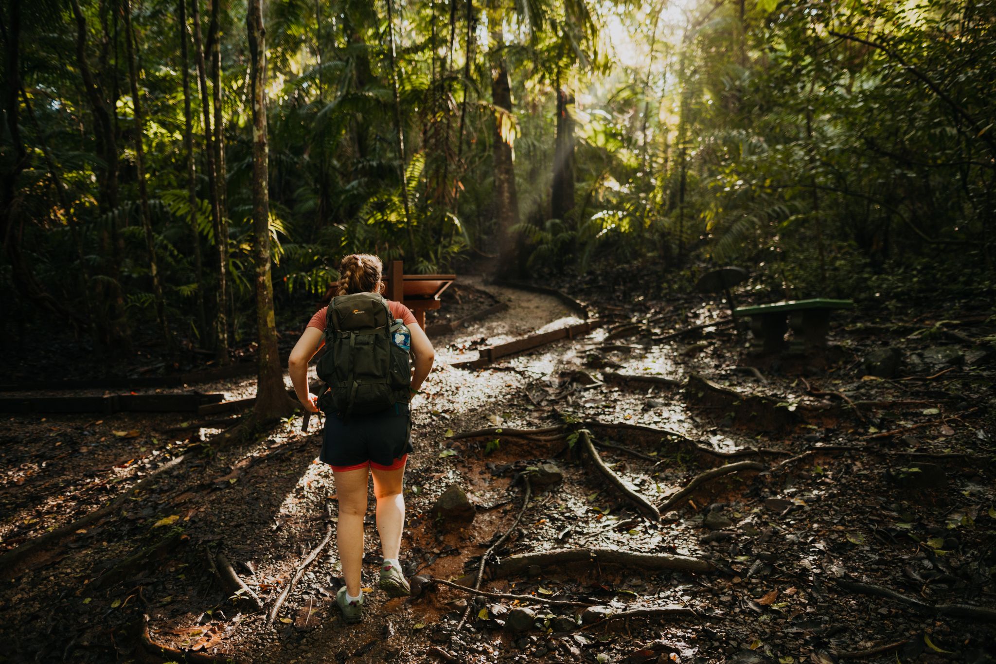
Bus station hiking trails in the Serrania de Tabasara traverse a landscape characterized by impressive mountain vistas and lush cloud forests. The region features significant elevation gains, with routes often including steep sections, rocks, and roots. Numerous rivers and waterfalls are integrated into the hiking routes, offering natural features and refreshing stops. The varied terrain provides options for different skill levels, from accessible paths to more demanding routes.
Best bus station hiking trails in the Serrania de Tabasara
- The most…
Last updated: July 12, 2026
4.9
(14)
40
hikers
14.1km
04:44
710m
710m
Moderate hike. Good fitness required. Easily-accessible paths. Suitable for all skill levels.
4.3
(3)
21
hikers
14.2km
04:24
530m
530m
Moderate hike. Good fitness required. Easily-accessible paths. Suitable for all skill levels.

Sign up for free
4.3
(6)
15
hikers
10.1km
03:11
300m
300m
Moderate hike. Good fitness required. Mostly accessible paths. Sure-footedness required.
4.3
(7)
17
hikers
13.0km
04:23
650m
650m
Moderate hike. Good fitness required. Easily-accessible paths. Suitable for all skill levels.
5.0
(2)
8
hikers
11.6km
03:54
570m
570m
Moderate hike. Good fitness required. Easily-accessible paths. Suitable for all skill levels.
Get access to more routes and recommendations from other explorers.
Sign up for free
Already have an account?
Our route recommendations are based on thousands of hikes, rides, and runs completed by other people on komoot.
Start today with a free account
Your next adventure awaits.
Login or Signup
Popular around Serrania de Tabasara
Other adventures in the Serrania de Tabasara

Tips from the Community

On the Cerro Tute summit you look far into the country and can enjoy a fantastic view when the visibility is good. Up here, surefootedness and a head for heights are required.
0
0
Small wooden huts, palm trees and the surrounding mountain ranges accompany you on the way to the trail up to Cerro Tute. Be sure to stay on the trail here to protect nature and respect residents' privacy.
0
0
Frequently Asked Questions
How many bus station hiking trails are available in the Serranía de Tabasará?
There are currently 9 moderate hiking routes accessible from bus stations in the Serranía de Tabasará, primarily centered around Santa Fe. These trails offer a range of distances and elevation gains, all designed to be reached conveniently by public transport.
What kind of natural features can I expect to see on these bus station hikes?
The Serranía de Tabasará is renowned for its impressive mountain vistas, lush cloud forests, and abundant rivers and waterfalls. Many routes feature significant elevation gains, leading to panoramic views. You can also expect rich biodiversity, with opportunities for birdwatching and spotting various mammal species.
Are there any hikes from bus stations that feature waterfalls?
Yes, the region is known for its waterfalls. A popular option is the Waterfalls loop from Santa Fe, which takes you to refreshing natural pools. You might also encounter waterfalls along other river-focused trails.
What do other hikers enjoy most about hiking in the Serranía de Tabasará?
The komoot community highly rates the hiking experience in the Serranía de Tabasará, with an average score of 4.4 stars. Reviewers often praise the stunning mountain scenery, the refreshing cloud forests, and the chance to discover beautiful waterfalls. The accessibility of trails from bus stations is also a frequently highlighted convenience.
Are there any challenging hikes accessible from bus stations for experienced hikers?
While all listed routes are classified as moderate, many feature significant elevation gains and varied terrain, making them engaging for experienced hikers. For example, the Cerro Tute Summit – Cerro Tute loop from Santa Fe involves over 700 meters of ascent over 14 kilometers, offering a good workout and rewarding views.
Can I find circular hiking routes from bus stations in this region?
Yes, several of the routes accessible from bus stations in the Serranía de Tabasará are circular, allowing you to start and end your hike at the same point without needing to retrace your steps. Examples include the View of the Mountains – Soccer Field loop from Santa Fe and the Cerro Tute loop from Santa Fe.
What are some interesting landmarks or points of interest near these bus station trails?
Along and near the bus station trails, you can explore several notable points of interest. These include the Trail to Cerro Tute itself, the unique rock formations of Los Cangilones de Gualaca, and the scenic Cuvíbora Cascades overlook. The Río Cuvíbora also offers beautiful riverside scenery.
Are there any bus station hikes suitable for families?
While all listed routes are moderate, some may be more suitable for families with older children or those accustomed to hiking. The Waterfalls loop from Santa Fe, at just over 10 kilometers with 300 meters of ascent, could be a rewarding option for active families looking for a natural swimming spot.
What is the best time of year to hike in the Serranía de Tabasará?
The higher elevations of the Serranía de Tabasará offer a cooler climate compared to the tropical lowlands, making it pleasant for hiking year-round. However, the dry season (roughly December to April) generally provides more stable weather conditions with less rain, which can be ideal for enjoying the trails and views.
What should I wear for hiking in the Serranía de Tabasará?
Given the varied terrain, significant elevation changes, and potential for cloud forests and waterfalls, it's recommended to wear sturdy hiking shoes with good grip. Layered clothing is advisable to adapt to temperature changes, and rain gear is always a good idea, especially during the wet season. Don't forget sun protection and plenty of water.
Are there any specific bus stations that serve as good starting points for these hikes?
Many of the featured hikes, such as the various Cerro Tute loops and the Waterfalls loop, originate from Santa Fe. The bus station in Santa Fe serves as a convenient hub, allowing direct access to several trailheads within walking distance or a short local transport ride.
Most popular routes in the Serrania de Tabasara
Most popular attractions in the Serrania de Tabasara

Get inspired with the komoot mobile app


Explore more
Browse the best Hikes in other regions.
