The best hikes from bus stations in Isère
4.5
(20041)
186,510
hikers
3,584
hikes
Bus station hiking trails in Isère offer access to a diverse range of mountain landscapes, including the Chartreuse, Vercors, Belledonne, and Oisans massifs. The region is characterized by dramatic limestone cliffs, extensive forests, vast plateaus, and high-alpine terrain with glacial lakes and peaks exceeding 3,000 meters. An extensive network of marked paths provides varied hiking experiences across these distinct natural features.
Best bus station hiking trails in Isère
- The most popular bus station hiking route is Aiguillettes de Vaujany Loop, a difficult 8.4 miles (13.5 km) trail that takes about 6 hours to complete. This route features significant elevation gain through mountainous terrain, offering expansive views.
- Another top favourite among local hikers is Around Mont Cuchet Trail, a moderate 6.9 miles (11.1 km) path. This trail explores the varied terrain around Mont Cuchet, providing a balanced hiking experience.
- Local hikers also love the Sardonne via le Pré Reynaud, a 4.5 miles (7.3 km) trail leading through forested areas and open landscapes, often completed in about 2 hours 36 minutes.
- Hiking in Isère is defined by limestone cliffs, dense woodlands, and high-alpine peaks. The region's network of bus accessible hikes offers options for various ability levels, from moderate forest paths to challenging mountain ascents.
- The routes in Isère are highly rated by the komoot community with an average score of 4.5 stars from over 18,500 reviews. More than 176,000 hikers have used komoot to explore Isère's varied terrain.
Last updated: June 28, 2026
4.6
(7)
61
hikers
13.5km
05:59
1,150m
1,150m
Hike the difficult Aiguillettes du Verney loop, a 8.4-mile trail with 3767 feet of elevation gain, offering views of Lac du Verney.
4.0
(1)
6
hikers
11.1km
03:18
330m
330m
Hike the moderate 6.9-mile Château de Longpra loop from Sainte-Sulpice-des-Rivoires, gaining 1093 feet over 3 hours and 17 minutes.

Sign up for free
5.0
(2)
8
hikers
7.26km
02:36
430m
430m
Moderate hike. Good fitness required. Easily-accessible paths. Suitable for all skill levels.
5.0
(1)
6
hikers
8.06km
03:13
510m
510m
Moderate hike. Good fitness required. Mostly accessible paths. Sure-footedness required.
6
hikers
5.41km
02:19
490m
490m
Moderate hike. Good fitness required. Easily-accessible paths. Suitable for all skill levels.
Get access to more routes and recommendations from other explorers.
Sign up for free
Already have an account?
Our route recommendations are based on thousands of hikes, rides, and runs completed by other people on komoot.
Start today with a free account
Your next adventure awaits.
Login or Signup
Popular around Isère
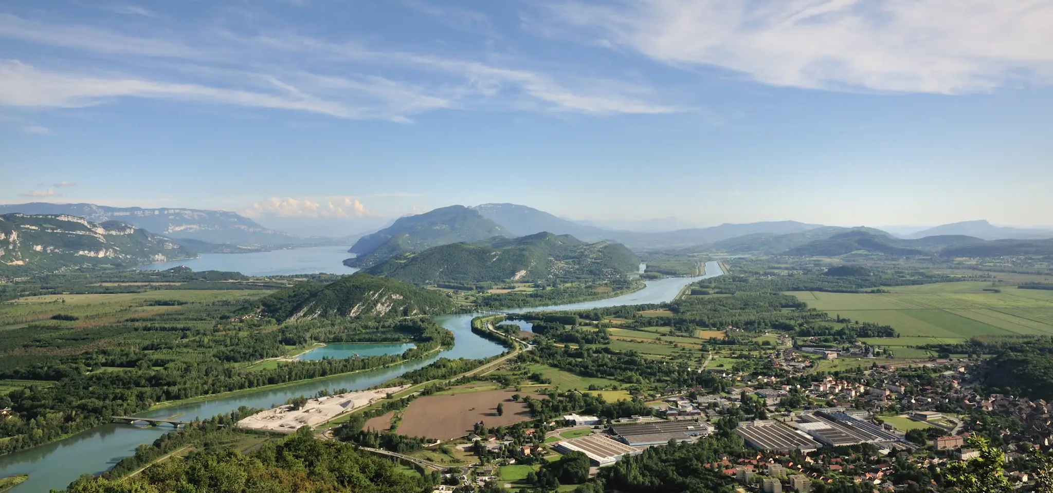
GR 9 from the Jura to the Mediterranean – Crossing contrasts
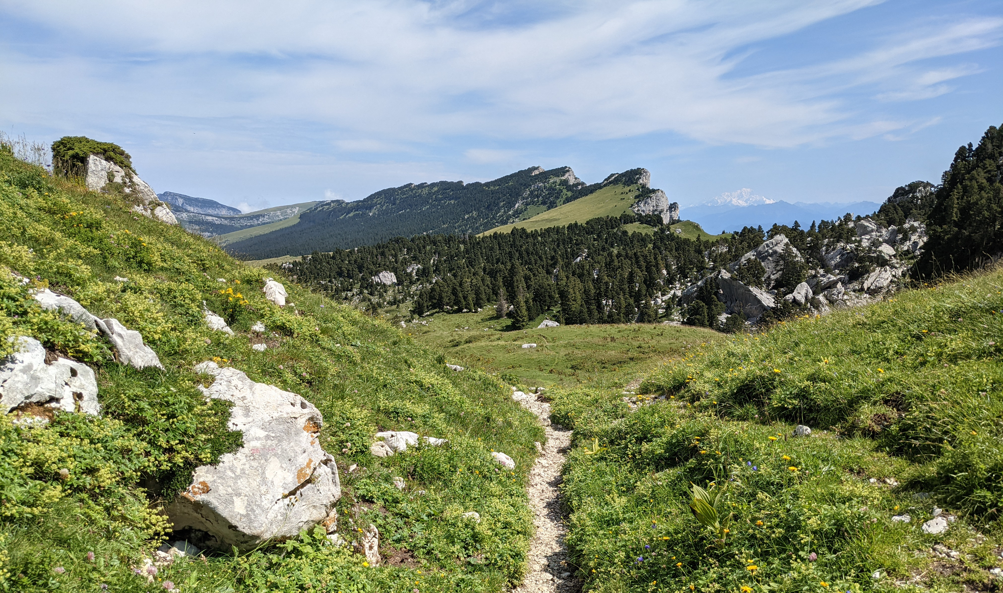
Crossing the Chartreuse – History in the making
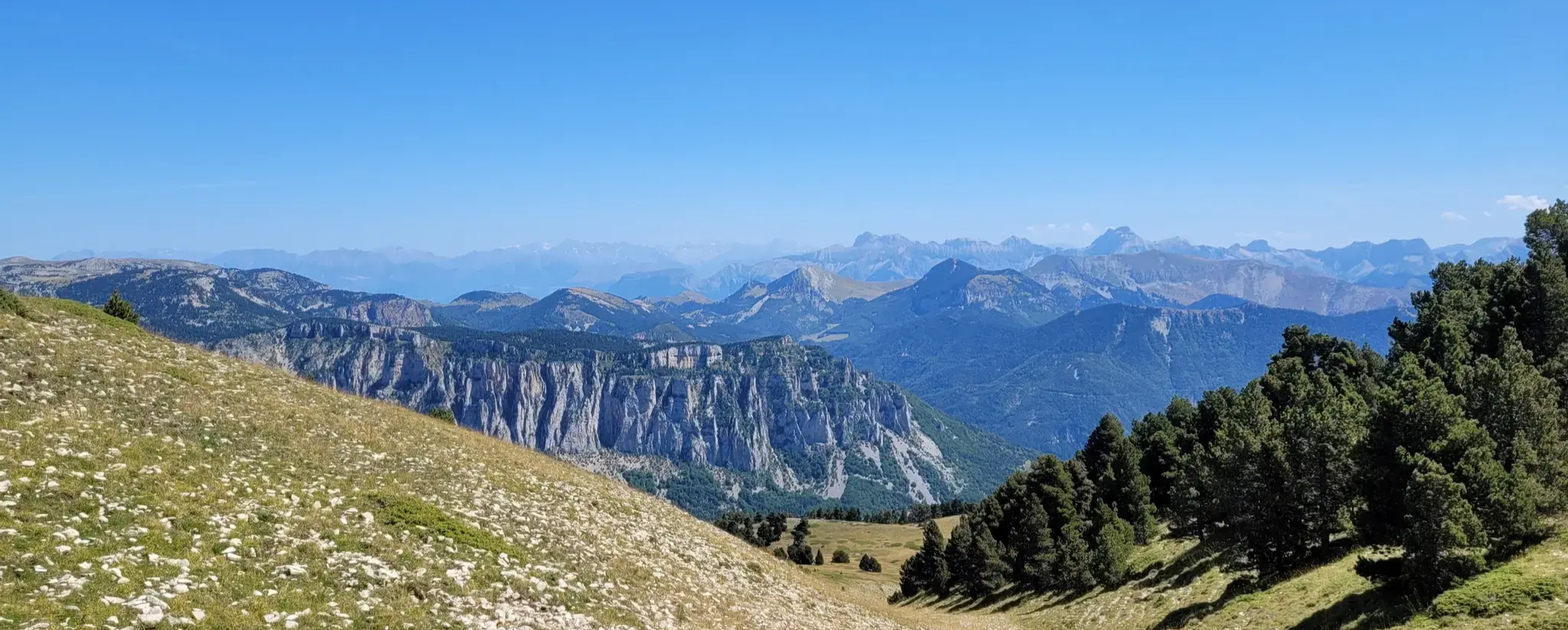
GR 91 - From the Vercors High Plateaux to Provence
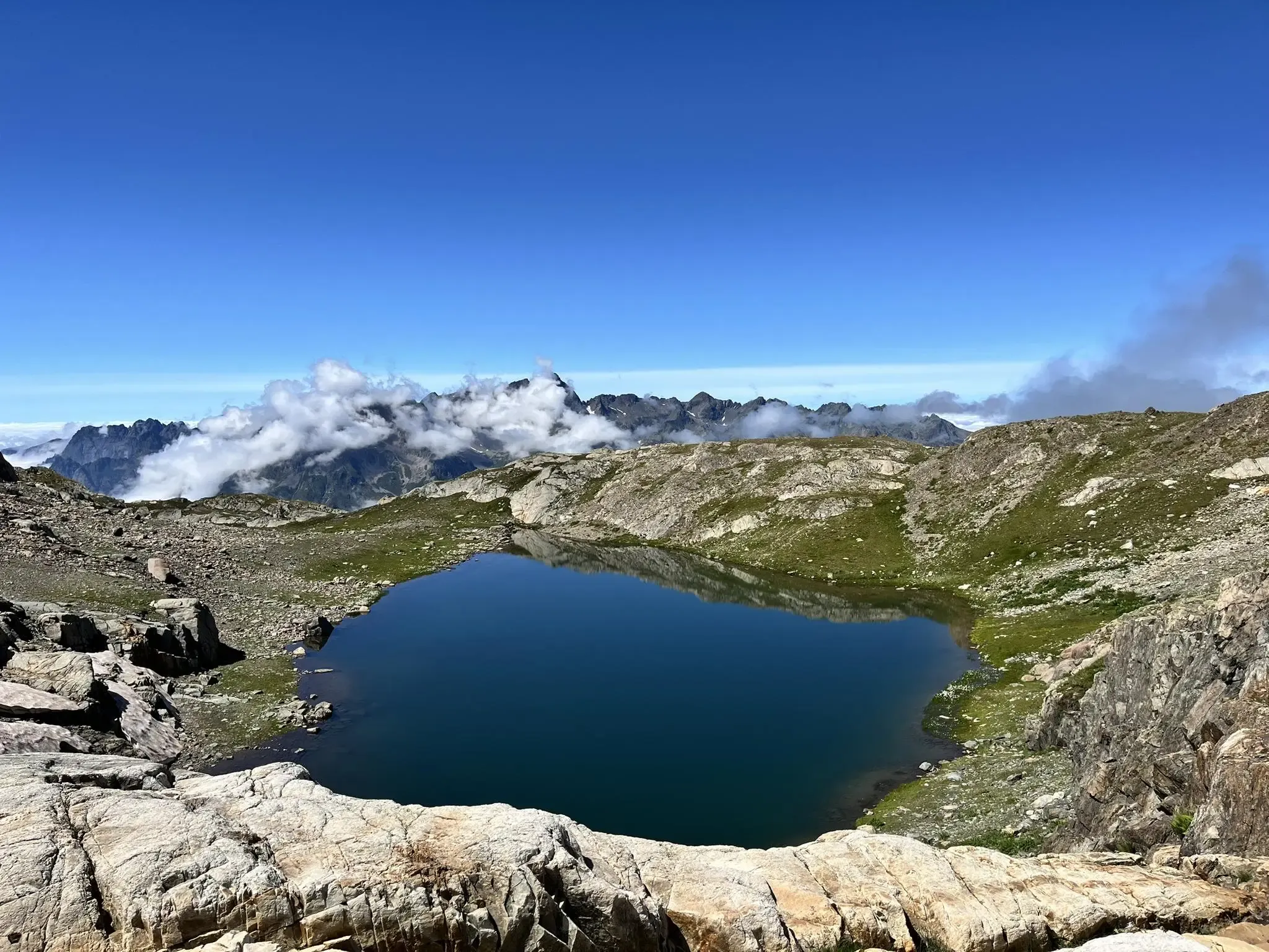
Discover Oz 3300 — a panoramic version of the mountain
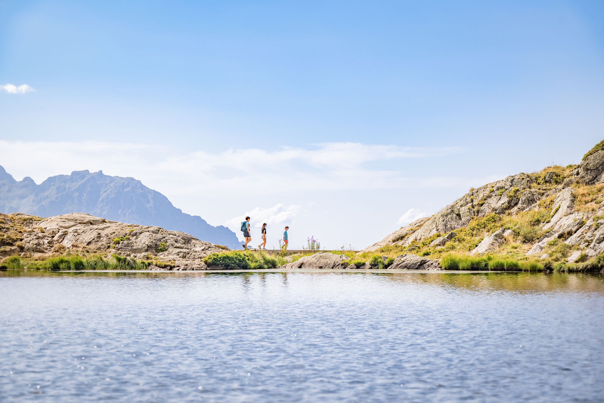
Alpe d'Huez – hiking in the great outdoors
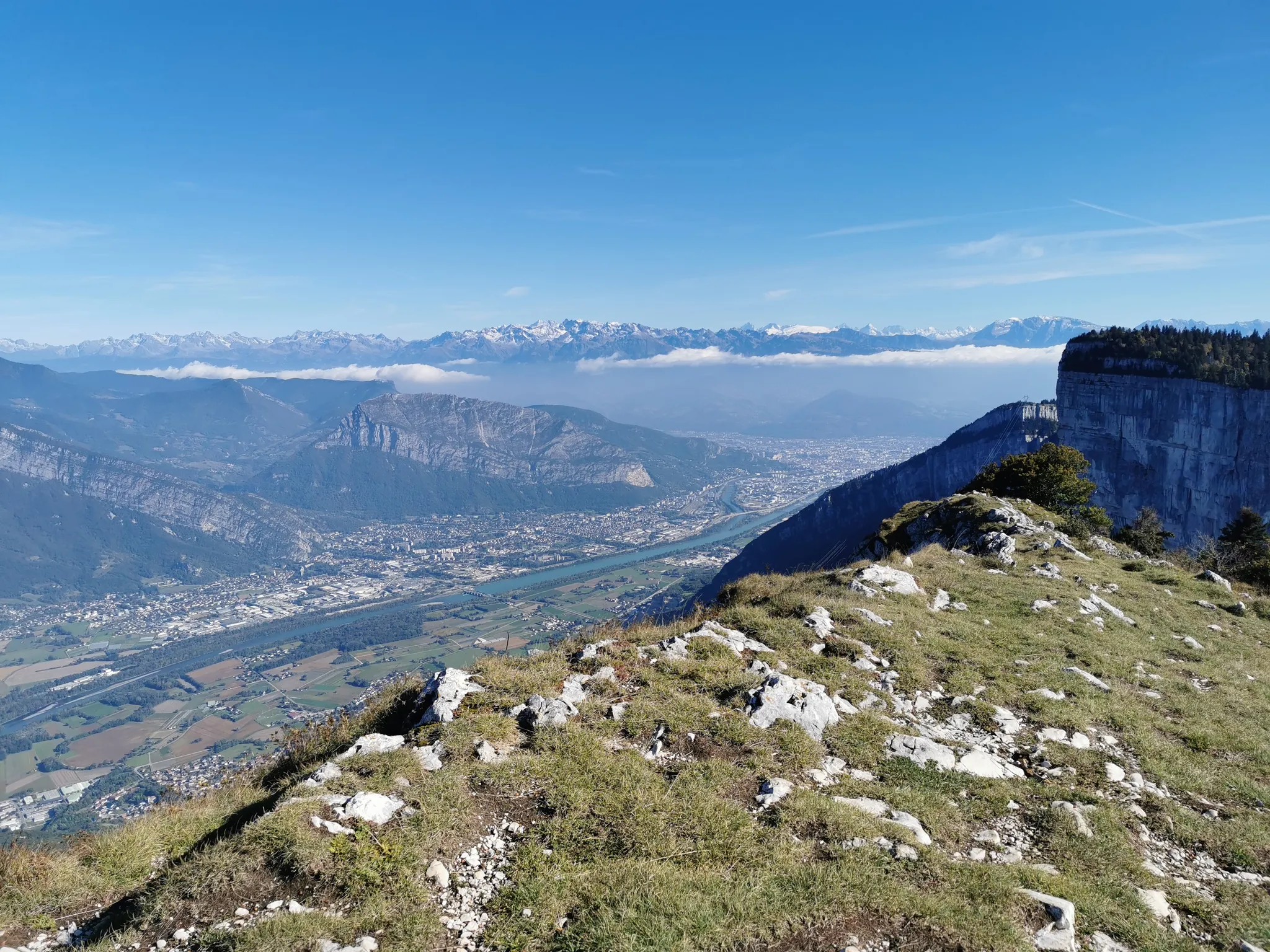
Grand Tour of the Vercors – third section
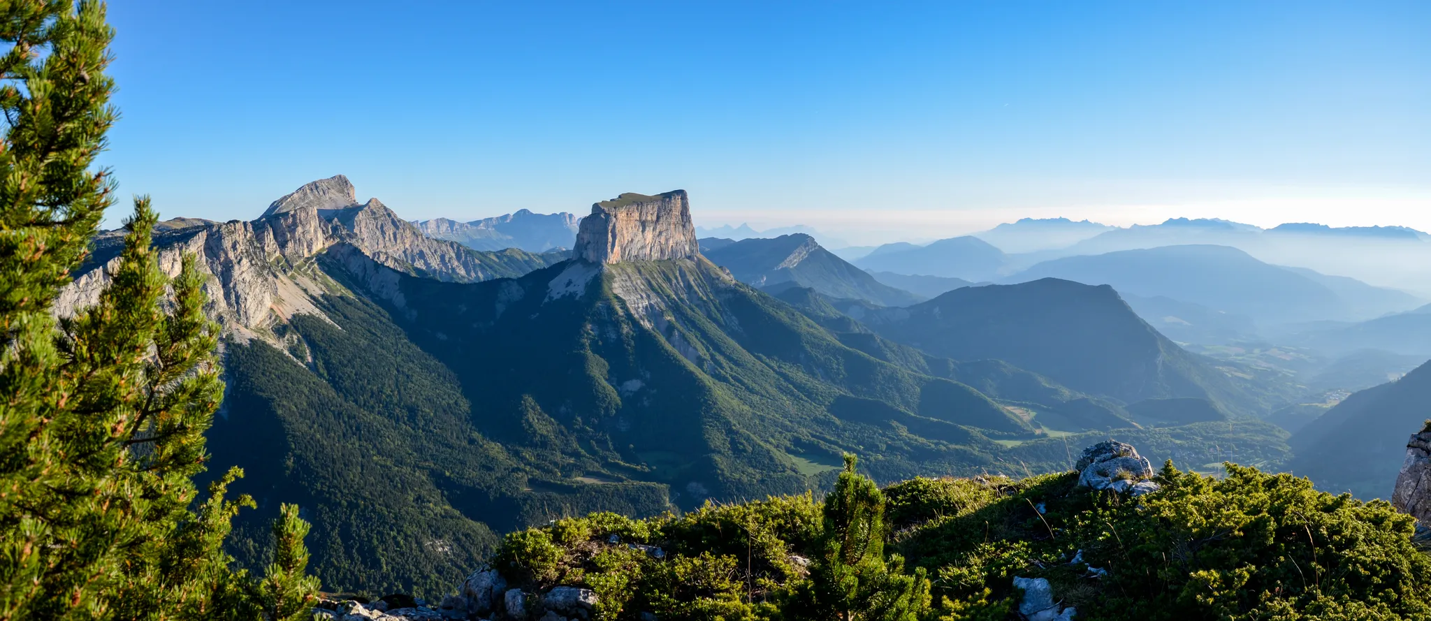
Grand Tour of the Vercors – first section
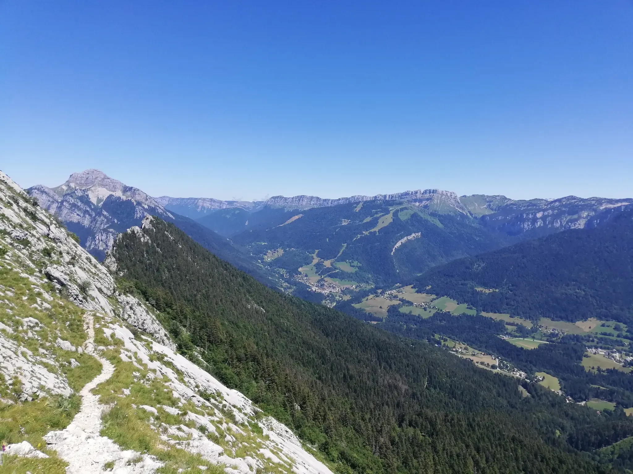
At the gates of Chartreuse in France – Grenoble to Voiron
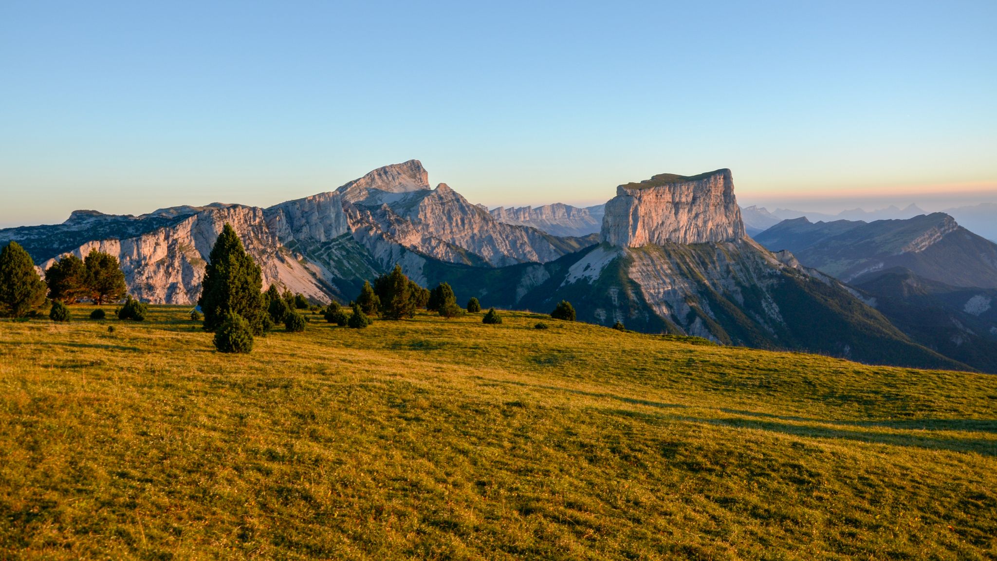
The cradle of mountaineering – Vercors Trièves' mountains
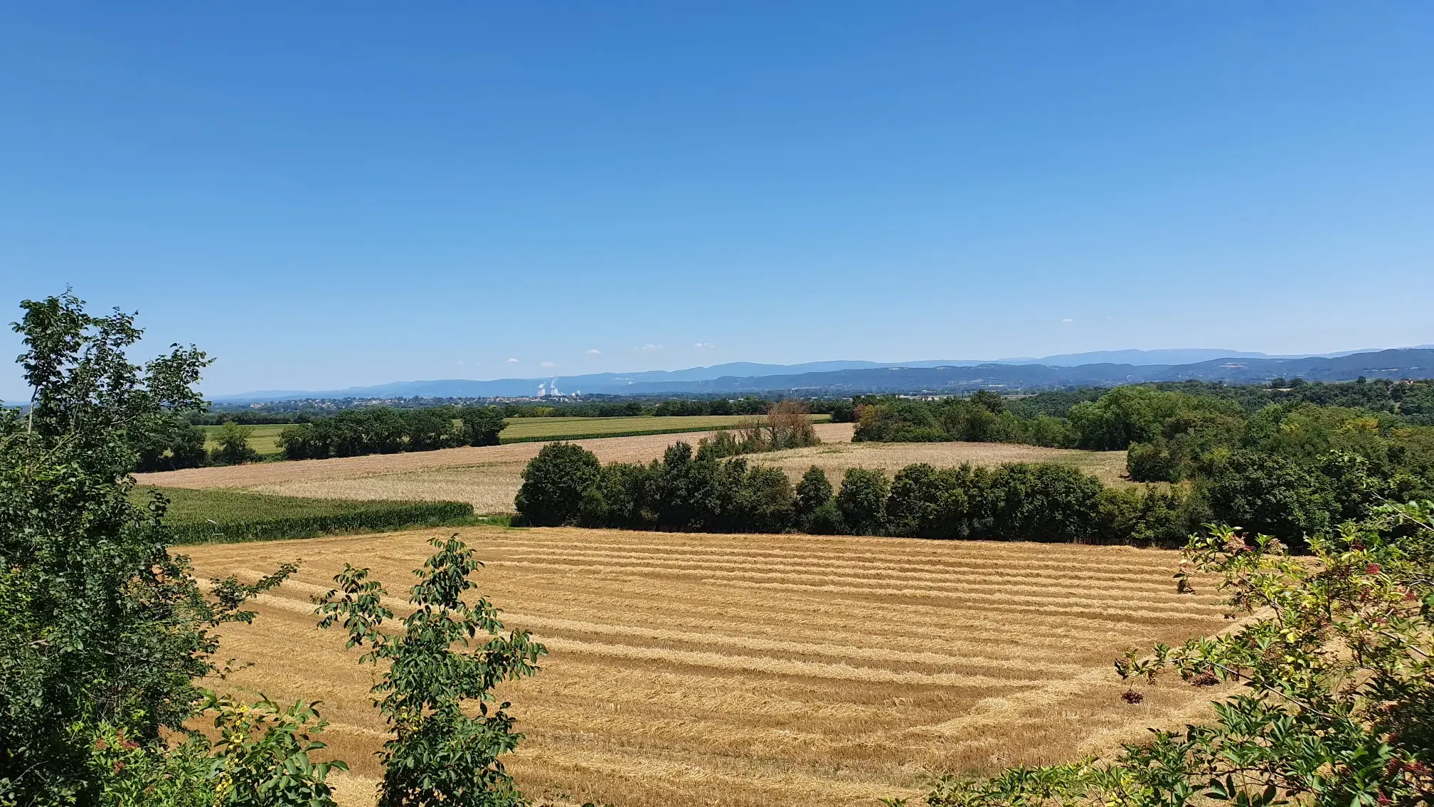
Conquering history – in the footsteps of Charles IX (GR 422)
Other adventures in Isère


Tips from the Community


This link trail connects the Oz 3300 resort and the hamlet of Sardonne. It also serves as a playground for downhill mountain bikers during the Mégavalanche event. Imagine them hurtling down the slope at full speed. In the middle of the forest, it is sometimes possible to observe the lake du Verney.
1
0
The Plan du Cerf is a crossroads between several trails that connect Oz-en-Oisans, Enversin d'Oz, Alpette, and Bessay. Situated on a ridge, it offers beautiful scenery.
0
0
Connected to Alpe d'Huez, Oz 3300 is a resort with a family charm, on a human scale, with its chalets and residences made of wood and stone.
0
0
The commune of Oz is made up of several small hamlets located on the eastern shore of Lake Verney. Oz Village has a special charm, with its 19th-century Saint-Ferréol d'Oz church.
1
0

Very nice climb. The road to the top changes with the landscape and gradually becomes less good. No more loose gravel seen. No problem at all on the way up, but pay close attention at first on the descent. There was minimal traffic.
1
0

Very demanding climb but the landscapes are worth the detour!! Much less frequented than other major passes in the Alps.
1
0

It is one of the great discoveries of the French Alps in my last decade. It is not a mountain pass because it only has one road side. On foot (or even with a Gravel bike), once you reach the top, you can reach the Lac de Grand-Maison, connecting with the final stretch of the climb to the Col de Glandon or the Col de la Croix-de-Fer . The climb to Col de Sabot has a gradient of 1,253 meters, 14.5 km in length with an average slope of 8.9%. It is a very tough port. It has 2 parts that are very well differentiated in every sense: - The first, until reaching Vaujany (about 5 km) is a very wide road, perfectly paved, with some traffic and hardly any views of the valley. - The second is a very narrow road, with a lot of gravel, hardly any traffic and views of the alpine meadows. In a quiet environment where only the sounds of the mountain can be heard.
3
1
Frequently Asked Questions
How many bus-accessible hiking trails are there in Isère?
Isère offers a vast network of hiking trails accessible by bus, with over 3,000 routes available. These range from easy strolls to challenging mountain ascents, ensuring options for all skill levels.
What kind of terrain can I expect on bus-accessible hikes in Isère?
The terrain in Isère is incredibly diverse, reflecting its four major mountain ranges: Chartreuse, Vercors, Belledonne, and Oisans. You can expect dramatic limestone cliffs, deep gorges, vast plateaus, dense forests, and high-mountain landscapes with glaciers and glacial lakes. Trails vary from gentle paths through valleys to rugged, steep ascents.
Are there any circular hiking routes accessible by bus in Isère?
Yes, many bus-accessible routes in Isère are circular, allowing you to start and end your hike at the same bus stop. For example, the Aiguillettes de Vaujany Loop offers a challenging circular experience, while the Around Mont Cuchet Trail provides a moderate circular option.
What are some notable landmarks or natural features I can see on bus-accessible hikes?
Isère is rich in natural beauty. Depending on your chosen route, you might encounter impressive geological formations like the limestone cliffs of Chartreuse or Vercors. Highlights include the stunning Saint-Michel Peak, the panoramic views from The Moucherotte Summit, or the distinctive Mont Aiguille. The region also features numerous caves, such as La Balme Caves, and picturesque glacial lakes in the Belledonne and Écrins massifs.
Are there family-friendly hiking options accessible by bus?
Absolutely. Isère offers many family-friendly trails that are easily reached by public transport. These routes often feature gentler gradients and shorter distances, perfect for hikers of all ages. The Chartreuse and Vercors Regional Natural Parks, in particular, have extensive networks of paths suitable for families, often leading to scenic viewpoints or picnic spots.
Can I bring my dog on bus-accessible hiking trails in Isère?
Many trails in Isère are dog-friendly, but it's essential to check specific regulations for each route and protected area. Dogs are generally welcome on a leash in regional natural parks like Chartreuse and Vercors. However, within Écrins National Park, there are stricter rules, and dogs are often not permitted on trails, even on a leash, to protect wildlife. Always ensure your dog is under control and respect local signage.
What is the best season for bus-accessible hiking in Isère?
The best time for hiking in Isère generally spans from late spring to early autumn (May to October). During this period, the weather is milder, and most trails are free of snow. Summer offers the warmest temperatures and full access to high-altitude routes. Spring and autumn provide beautiful scenery with wildflowers or vibrant foliage, often with fewer crowds. Some lower-altitude trails may be accessible in winter, but conditions can be challenging due to snow and ice.
What do other hikers enjoy most about bus-accessible trails in Isère?
The komoot community highly rates hiking in Isère, with an average score of 4.5 stars. Reviewers often praise the region's breathtaking and diverse landscapes, from the dramatic cliffs of Vercors to the serene forests of Chartreuse. The extensive and well-maintained trail networks, combined with the convenience of public transport access, are frequently highlighted as major advantages, allowing for immersive experiences in nature without needing a car.
Are there any moderate bus-accessible hikes that offer good views?
Yes, there are several moderate bus-accessible hikes that provide excellent views. For instance, the Sardonne via le Pré Reynaud route offers a rewarding experience with scenic vistas. Another option is L'Enversin from Oz 3300, which provides beautiful mountain scenery. These trails are generally well-suited for those looking for a good workout without extreme difficulty.
Where can I find information about public transport schedules to trailheads?
For detailed public transport schedules to trailheads in Isère, it's best to consult the local transport authority websites or apps. Many bus routes serve the mountain villages and ski resorts, which often double as starting points for hikes. For general information about hiking in the Chartreuse region, you can also visit grenoble-tourisme.com, which may offer insights into access.
Are there any less crowded bus-accessible trails in Isère?
While popular spots can get busy, the vastness of Isère's trail network means you can often find quieter routes. The Belledonne Massif, for example, is known for its wilder, less crowded trails compared to some other areas. Exploring trails during off-peak seasons (spring or autumn) or choosing routes that are slightly longer or more challenging can also lead to a more solitary hiking experience.
Most popular routes in Isère
Most popular attractions in Isère

Get inspired with the komoot mobile app


Explore more
Browse the best Hikes in other regions.
