The best hikes from bus stations in Haute-Savoie
4.5
(33939)
381,105
hikers
2,707
hikes
Bus station hiking trails in Haute-Savoie navigate a landscape characterized by the majestic Mont Blanc massif, diverse mountain ranges like the Aravis and Bornes, and numerous alpine lakes such as Lake Annecy. The region features dramatic gorges, cascading waterfalls, and extensive networks of paths through shaded forests and open meadows. This varied terrain offers a wide array of hiking environments, from challenging high-altitude climbs to more accessible valley routes.
Best bus station hiking trails in Haute-Savoie
- The most popular bus…
Last updated: June 28, 2026
4.7
(530)
2,651
hikers
12.3km
04:22
550m
550m
Moderate hike. Good fitness required. Mostly accessible paths. Sure-footedness required.
4.7
(116)
1,146
hikers
13.5km
05:41
900m
900m
Hard hike. Very good fitness required. Mostly accessible paths. Sure-footedness required.

Sign up for free
4.8
(41)
714
hikers
19.8km
08:07
1,730m
1,730m
Hard hike. Very good fitness required. Mostly accessible paths. Sure-footedness required.
4.6
(91)
366
hikers
15.2km
04:38
540m
540m
Moderate hike. Good fitness required. Mostly accessible paths. Sure-footedness required.
4.8
(38)
426
hikers
12.7km
07:05
1,260m
1,270m
Hard hike. Very good fitness required. Mostly accessible paths. Sure-footedness required.
Get access to more routes and recommendations from other explorers.
Sign up for free
Already have an account?
Our route recommendations are based on thousands of hikes, rides, and runs completed by other people on komoot.
Start today with a free account
Your next adventure awaits.
Login or Signup
Popular around Haute-Savoie
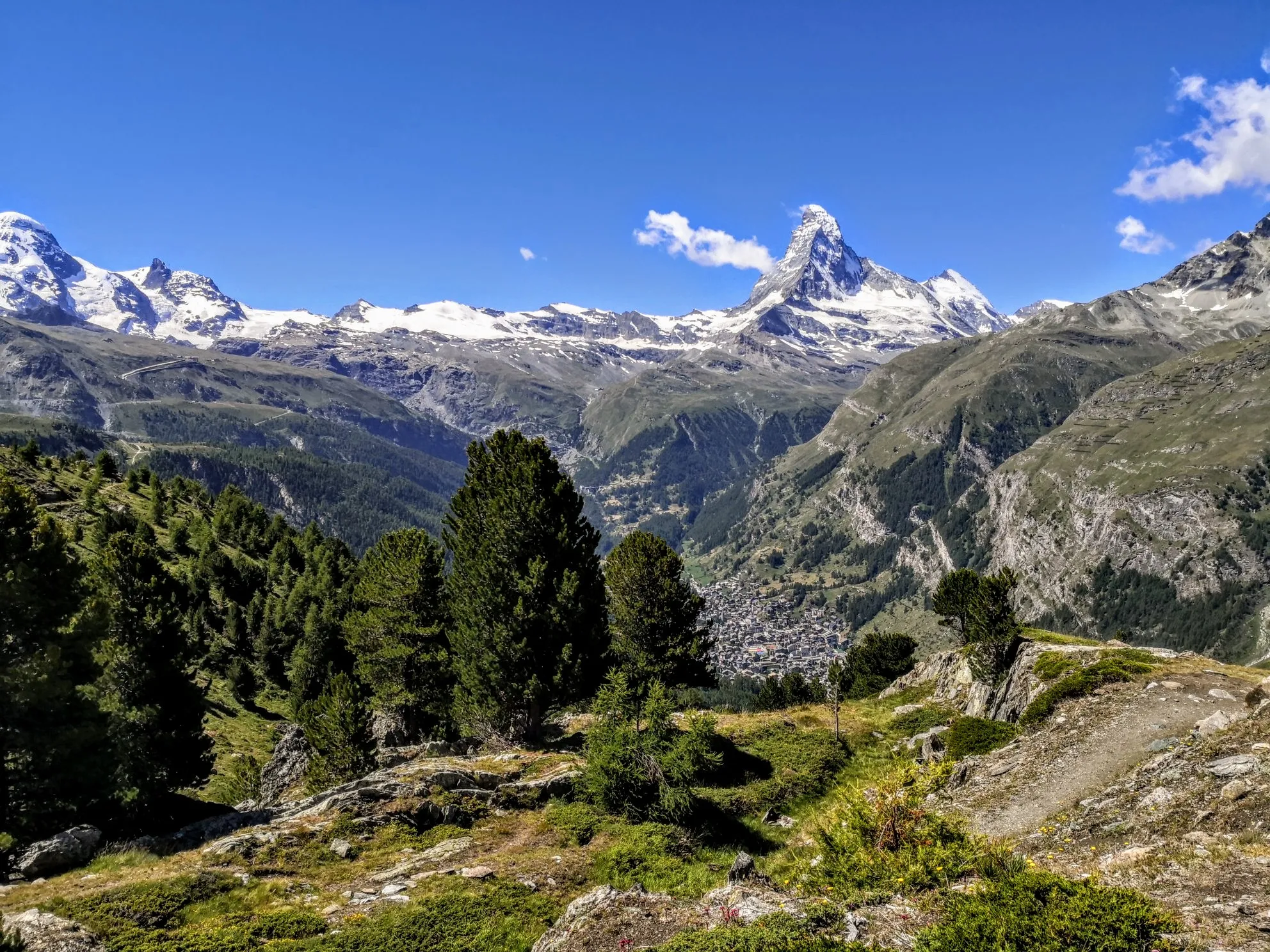
Walker's Haute Route – The ultimate alpine adventure
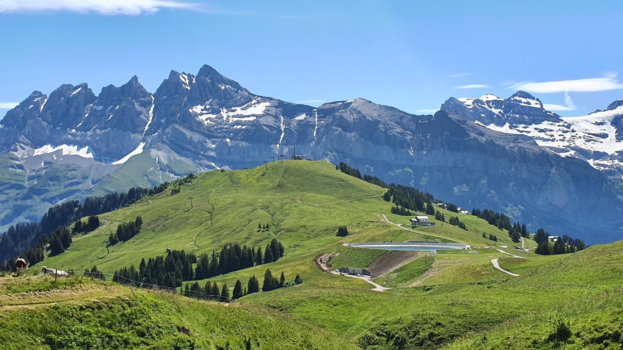
Europe Trail (GR 5) – Hike from Landry to Thonon-les-Bains
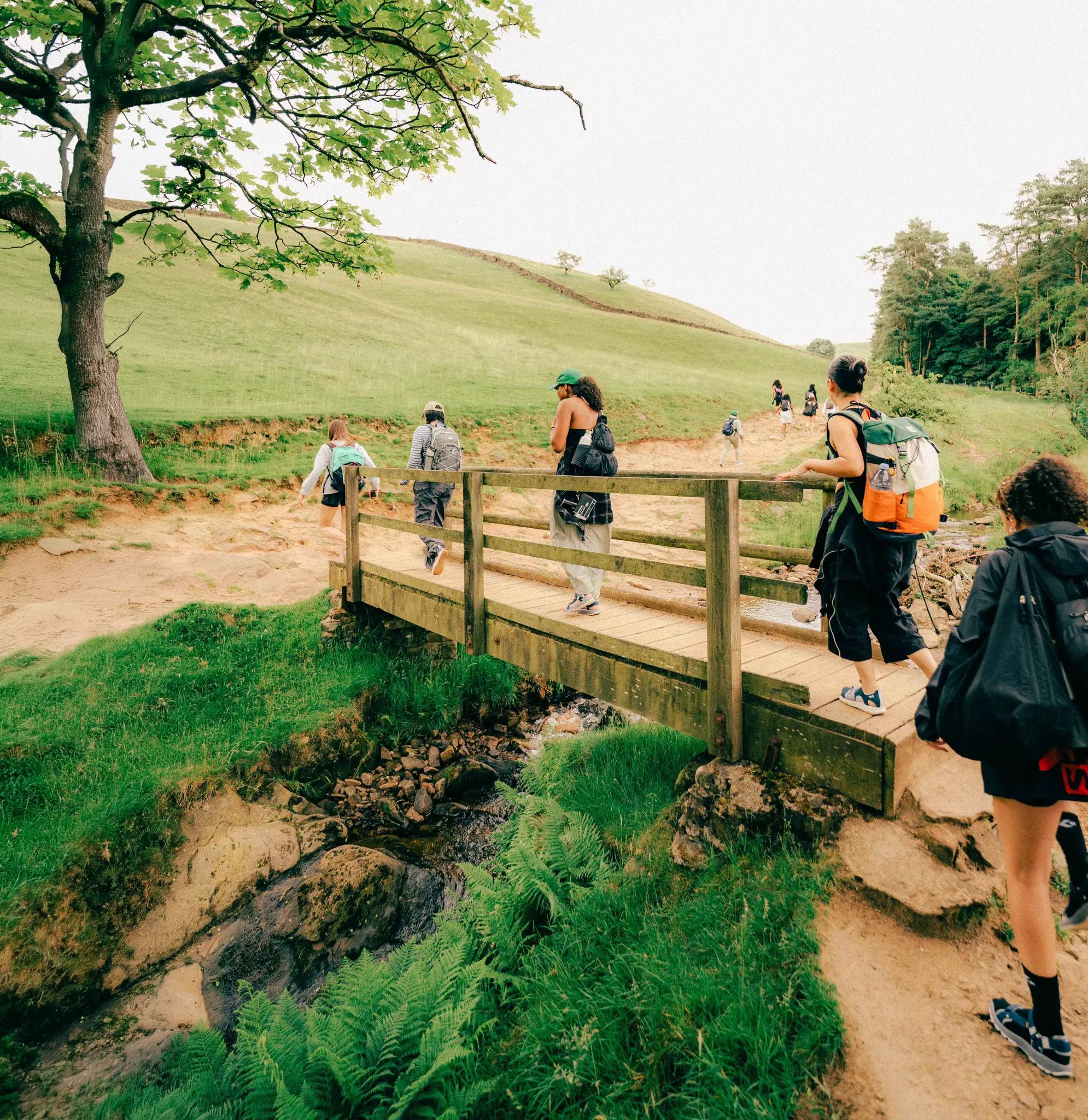
Scenic Trails to Natural Swimming Spots
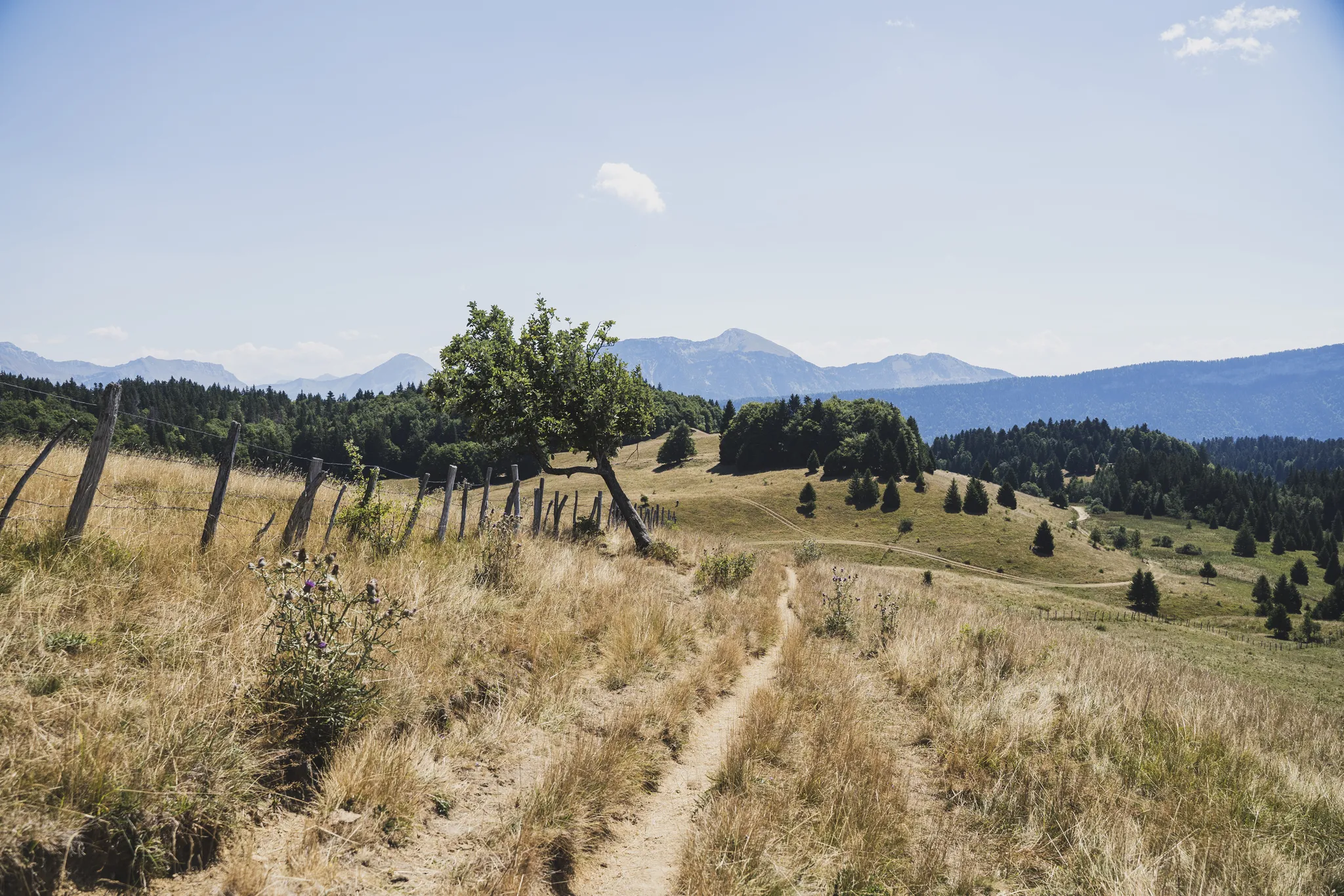
Chambéry to Annecy – crossing the Bauges in the French Alps

Hiking to the summits – France's highest points
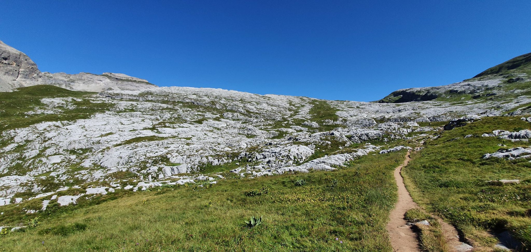
Hiking in the heart of nature reserves – Le Tour des Fiz

Hike from Savoie to Vanoise – Hexatrek in France’s Northern Alps

High mountain escapades — 15 peaks over 3,000m in the Alps
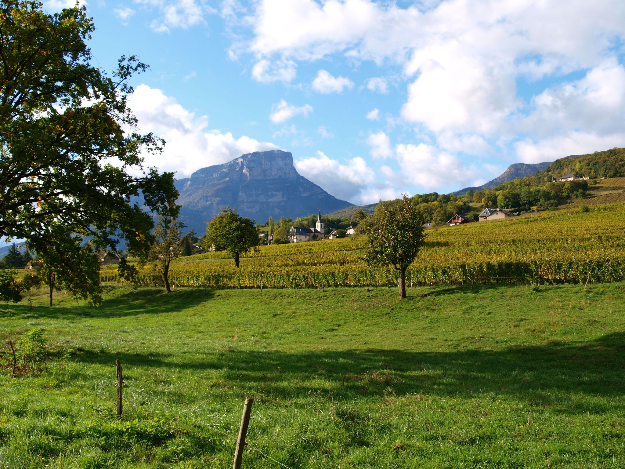
Follow the Huguenots — from Grenoble to Geneva on the GR 965
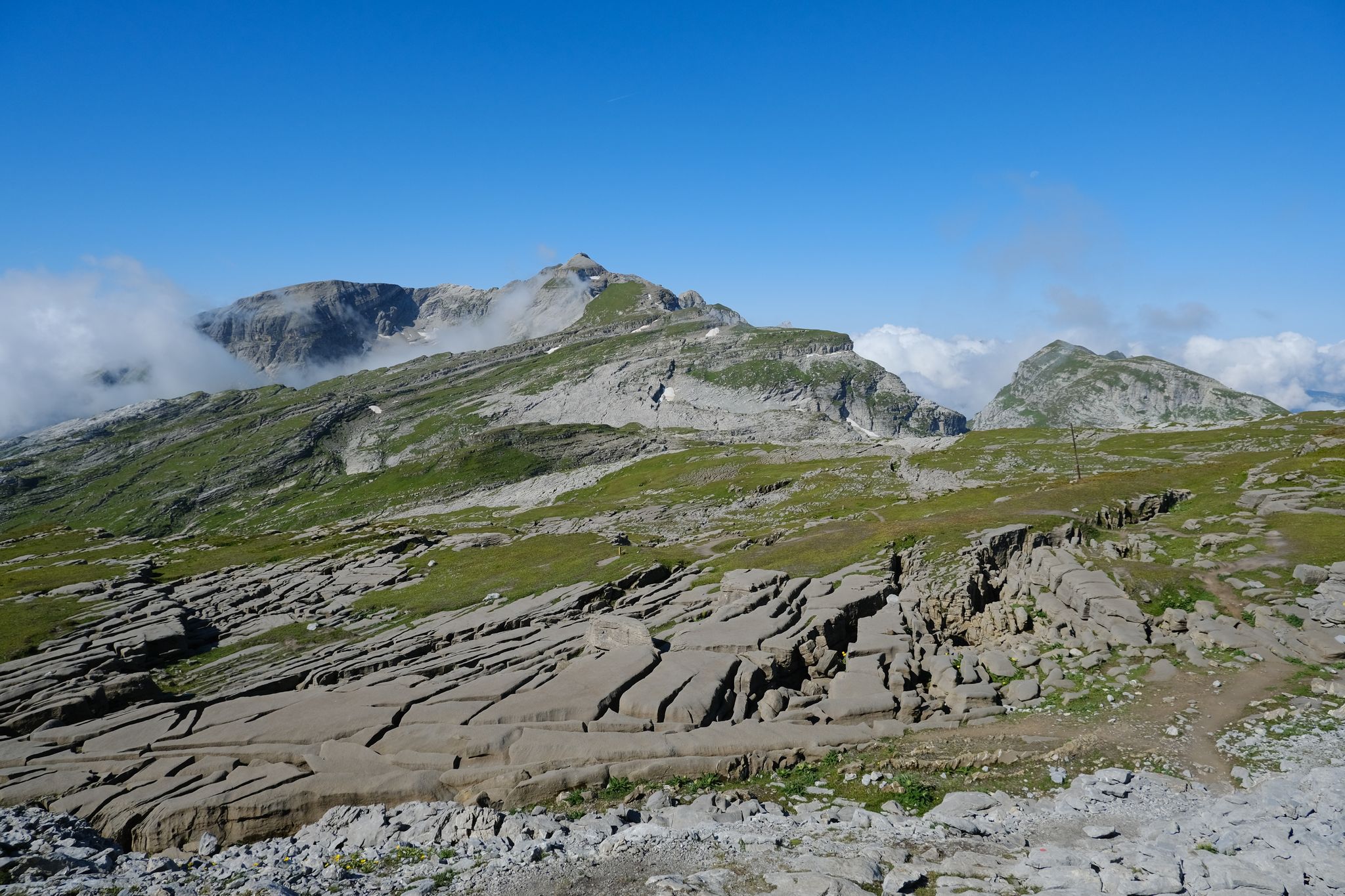
Immerse yourself in the French Alps from Samoëns to Entremont-le-Vieux – GR 96
Other adventures in Haute-Savoie


Tips from the Community

Each of these crosses, which the traveler often encounters in the fields or, as here, on the mountaintops—in this case combined with a beautiful view of the lake and the opposite shore—is a sign commemorating the crucifixion and resurrection of Jesus Christ. “Here on earth, His memory exists, but in the Kingdom of Heaven is His presence: this presence is the joy of those who have already attained salvation. Remembrance is our comfort, we who are still wanderers, traveling toward our homeland.” (Saint Bernard of Clairvaux, c. 1090–1153)
0
0

Located on the edge of a nature reserve, you can only bivouac near the refuge; it is forbidden above. Ask the warden. Dogs and drones are also forbidden in nature reserves.
1
0

Located at an altitude of 1,150 meters, the Col de la Forclaz offers a superb view overlooking Lake Annecy and the surrounding peaks. An incredible spot!
1
0
At the foot of the Tournette, the Pré Verel refuge is a great place to eat and spend the night. The atmosphere is friendly and the cuisine is made with local produce. You can even pitch a tent there. A great place to stay!
0
0

a very beautiful via ferrata for everyone, without vertigo
0
0


Ideal place to recharge your batteries
0
0
Frequently Asked Questions
How many bus station hiking trails are available in Haute-Savoie?
There are over 2,500 hiking trails in Haute-Savoie that are accessible from bus stations. This vast network caters to all levels, from gentle strolls through valleys to challenging mountain ascents.
What do other hikers enjoy most about bus-accessible trails in Haute-Savoie?
The komoot community highly rates the bus-accessible trails in Haute-Savoie, with an average score of 4.5 stars from over 31,900 ratings. Hikers frequently praise the breathtaking panoramic views of the Mont Blanc massif and Lake Annecy, the pristine alpine lakes, and the diverse natural landscapes that are easily reachable by public transport.
Are there easy bus-accessible hikes suitable for beginners or families in Haute-Savoie?
Yes, Haute-Savoie offers over 700 easy bus-accessible hikes perfect for beginners or families. These trails often wind through shaded forests and verdant valleys, providing gentle elevations and picturesque scenery. While specific routes vary, many can be found near Lake Annecy or in the lower parts of the Giffre massif.
Can I find challenging bus-accessible hikes for experienced hikers?
Absolutely. For experienced hikers, there are over 450 difficult bus-accessible routes. These often involve significant elevation gain and offer rewarding views of the high mountains. An example is the demanding route to Mont Buet via Vallorcine, which provides spectacular alpine scenery.
Are there bus-accessible trails that offer panoramic views of Lake Annecy?
Yes, several bus-accessible trails provide stunning views of Lake Annecy. The region around the lake, including areas like Mont Veyrier and Col de la Forclaz, is known for its incredible vistas. Consider the moderate The Aulp chalet and the Forclaz pass via Montmin — Loop, which offers expansive views of the lake and surrounding mountains.
Which bus-accessible trails feature waterfalls or dramatic gorges?
Haute-Savoie is home to several impressive waterfalls and gorges accessible by bus. The Cirque du Fer-à-Cheval, with its numerous waterfalls, and the spectacular Rouget Waterfall in Sixt-Fer-à-Cheval are notable natural wonders. While specific bus routes vary, these areas are generally well-served by public transport during peak seasons.
Are there any circular bus-accessible routes?
Yes, many bus-accessible routes in Haute-Savoie are designed as loops, allowing you to start and end at the same bus stop. For instance, the moderate The valley of Sainte-Catherine and the trail of the Crête — Semnoz — Loop is a great option for a circular hike with varied terrain.
What kind of natural landmarks can I expect to see along these trails?
Haute-Savoie's bus-accessible trails lead to a wealth of natural landmarks. You can encounter majestic peaks like the Aiguille du Midi, pristine alpine lakes such as Lac Blanc and Lac Vert, and dramatic geological formations like the Cirque du Fer-à-Cheval. Many routes also offer stunning viewpoints, including the View of the Mer de Glace.
Are there bus-accessible hikes that lead to alpine lakes?
Yes, Haute-Savoie is dotted with beautiful alpine lakes, many of which are accessible via bus routes. Lac Blanc, Lac Vert, and Lac d'Anterne are popular destinations. For a challenging but rewarding experience, consider the route to Lac de Lessy par le Chinaillon - Loop, offering stunning high-altitude scenery.
What is the best time of year for bus station hiking in Haute-Savoie?
The best time for hiking in Haute-Savoie is generally from late May to late September. During July and August, you can expect long sunny days, though starting early in the morning is recommended to avoid the midday heat. Some lower-altitude trails may be accessible earlier or later in the season, but always check local conditions.
Are there any bus-accessible routes that offer views of the Mont Blanc massif?
Many trails in the Chamonix valley and Aiguilles Rouges nature reserve, which are well-served by public transport, offer unparalleled views of the Mont Blanc massif. A challenging route like From Chamonix to Plan de l'Aiguille and Lac Bleu provides spectacular vistas of Western Europe's highest peak.
Most popular routes in Haute-Savoie
Most popular attractions in Haute-Savoie

Get inspired with the komoot mobile app


Explore more
Browse the best Hikes in other regions.
