The best hikes from bus stations in Treviso
4.4
(14672)
74,366
hikers
664
hikes
Bus station hiking trails in Treviso offer access to a diverse landscape in Italy's Veneto region. The area features rolling hills, river parks, and parts of the Venetian Prealps. Treviso's terrain includes vineyards, oak forests, and significant elevation changes in its northern sections, providing varied hiking experiences. The Sile River flows through the region, offering tranquil riverside paths.
Best bus station hiking trails in Treviso
- The most popular bus station hiking route is Trail of the 1944 German Reprisal,…
Last updated: October 14, 2026
4.9
(7)
73
hikers
8.54km
02:40
340m
340m
Embark on the Trail of the 1944 German Reprisal, a moderate hiking route that guides you through the scenic Cadore region. This loop covers 5.3 miles (8.5 km) with an…
3.8
(11)
40
hikers
5.52km
01:24
20m
20m
Embark on the Meschio River Loop, an easy hiking route that offers a refreshing escape into nature and local history. You will find yourself walking along a diverse landscape, featuring…

4.8
(5)
25
hikers
10.2km
03:20
380m
380m
Embark on the V13 Perdonanzestellung WWI trench trail from Ceneda, a moderate hike that blends history with scenic views. You'll cover 6.3 miles (10.2 km) with an elevation gain of…
4.6
(48)
440
hikers
Moderate hike. Good fitness required. Easily-accessible paths. Suitable for all skill levels.
4.6
(46)
257
hikers
9.88km
02:57
300m
300m
Moderate hike. Good fitness required. Easily-accessible paths. Suitable for all skill levels.
Get access to more routes and recommendations from other explorers.
Already have an account?
Our route recommendations are based on thousands of hikes, rides, and runs completed by other people on komoot.
Start today with a free account
Your next adventure awaits.
Popular around Treviso
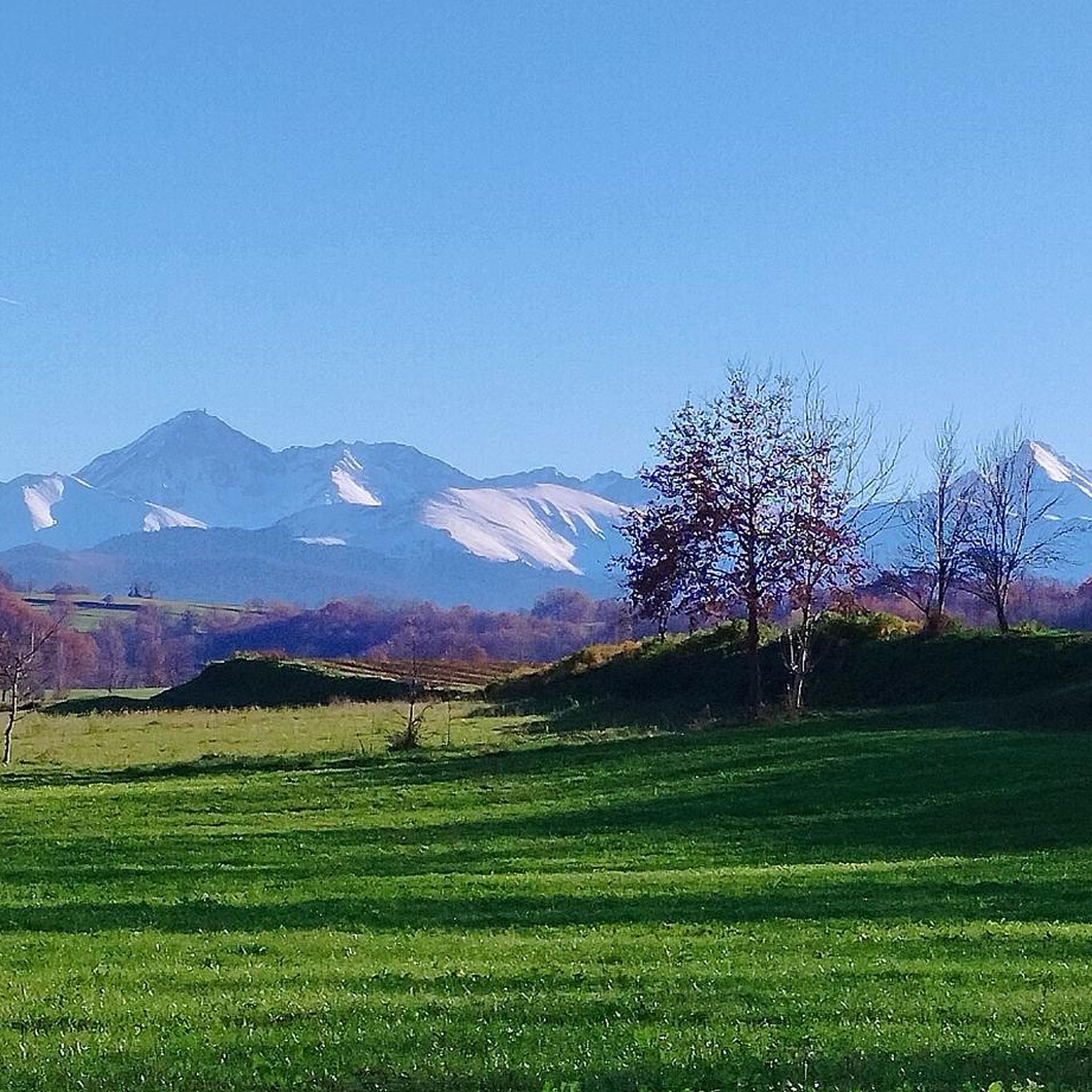
Hikes from bus stations around Natural Park regionale del Fiume Sile

Hikes from bus stations around Lake Lake

Hikes from bus stations around Lake Santa Maria
Hikes from bus stations around Lake del Restello

Hikes from bus stations in Zps Campazzi Di Onigo

Hikes from bus stations in Zps Prai Di Godego
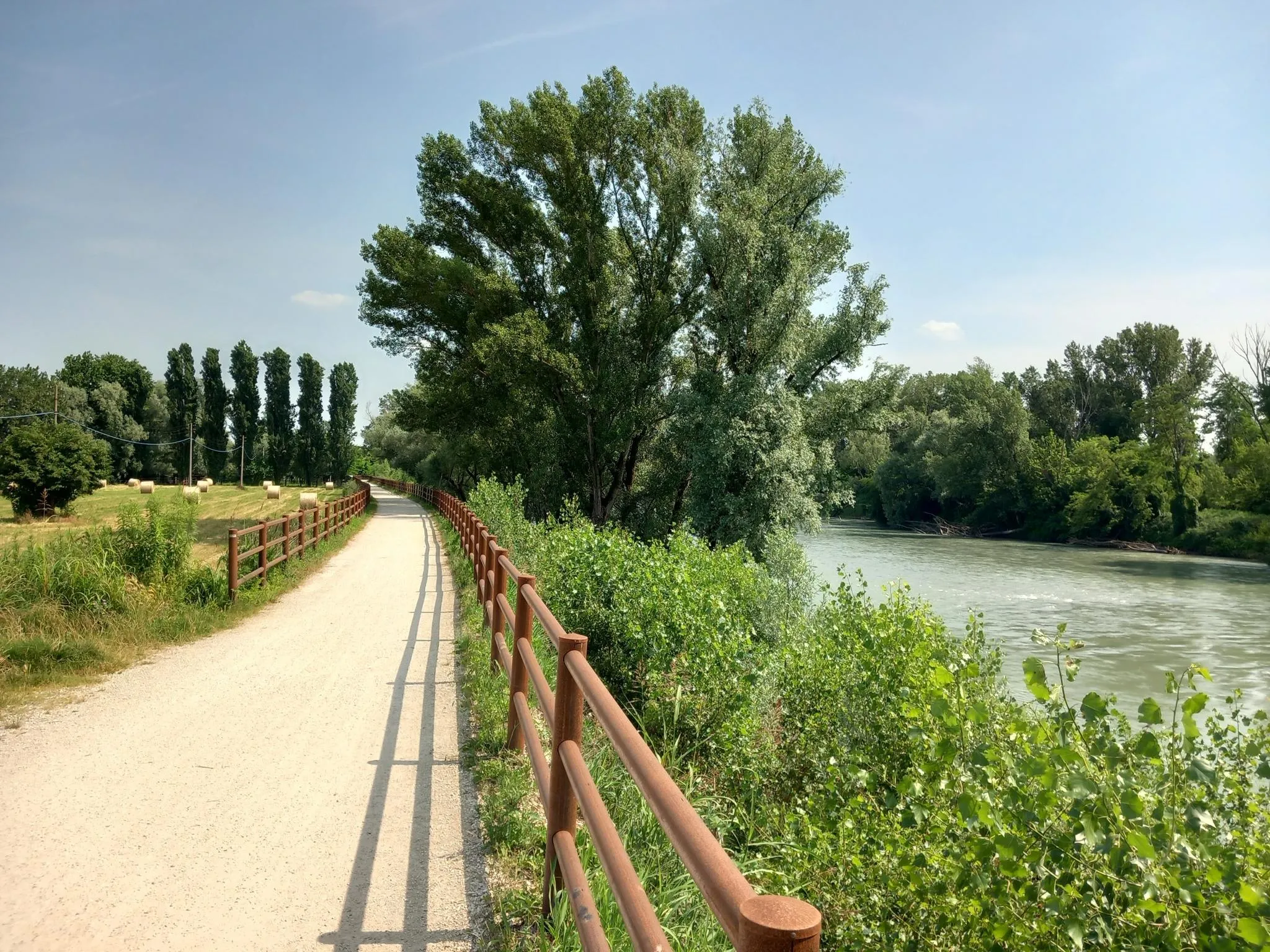
Via Postumia – Hike between the Tyrrhenian and Adriatic seas

Via Venezia Alpina – hiking across the Alps to the Adriatic Sea

The "Dream Path" hiking trail – From Munich to Venice in 28 stages
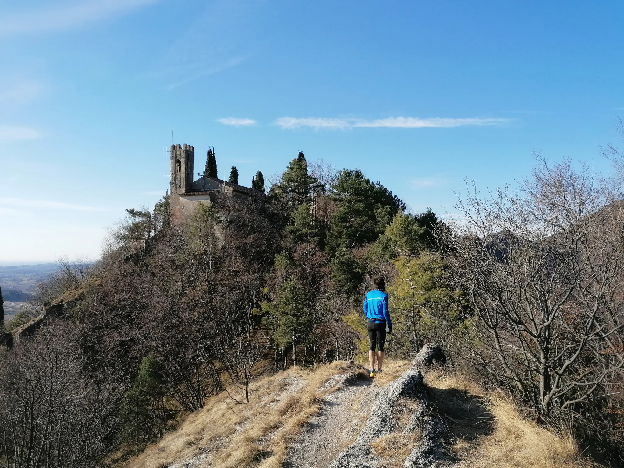
800 years of history from Gemona to Padua – Cammino di Sant'Antonio
Other adventures in Treviso


Tips from the Community

Beautiful cycle path MV on the Meschio
1
0

The Green Lake of Casier is a charming natural oasis located in Dosson, fortunately born from the environmental recovery of a former clay quarry. This body of water, surrounded by dense riparian vegetation, has become over time a true refuge for local biodiversity and a beloved destination for those seeking a peaceful corner just a stone's throw from Treviso. Today, the area is mainly managed for sport fishing and is frequented by families and walkers who take advantage of the shaded paths along its banks to relax or engage in outdoor activities. Together with the nearby stretch of the Sile Park, the Green Lake represents a fundamental green lung for the municipal territory, demonstrating how nature can splendidly reclaim spaces once linked to industrial activity.
5
0

Excellent place to relax between the bends of the Sile river.
13
0
The Rocca di Asolo is an imposing medieval fortress located on the summit of Monte Ricco, the highest point of the village, from which it dominates the entire surrounding landscape. Built between the late 12th and early 13th centuries, the structure has an irregular polygonal plan with massive conglomerate and brick walls, devoid of external openings to maximize its defensive function. From its summit, you can enjoy one of the most famous views in the Veneto region, stretching from the peaks of Monte Grappa and the Dolomites to the Venice Lagoon on clearer days. Recently restored, the Rocca is now open to visitors and allows you to walk along the ramparts, offering a total immersion into the military history of the territory and fully justifying the famous definition of Asolo as the "city of a hundred horizons".
0
0
Villa Carlotta in Casier is one of the most striking residences overlooking the Sile river, located along the famous "Ramo Morto". Built in the 17th century by the Brolo-Lanza family, the villa testifies to the elegance of the Venetian nobility who chose the Treviso hinterland for their holidays. It became particularly famous at the end of the 19th century thanks to Countess Annina Morosini, who made it a center of social and cultural life. During World War II, the building played a crucial role by hosting the civil hospital of Treviso. Today the villa is a private property admired mainly from the outside along the Restera, offering an iconic view between the tranquil waters of the river and the lush vegetation of the Sile Park.
1
0

From the fortress's ramparts, you can enjoy a magnificent 360° panorama of the plain, the hills, the mountains (Grappa in the foreground), and Asolo. To reach the fortification, you need to tackle a long and evocative paved staircase that winds around the village walls. It is only open on Saturdays, Sundays, and public holidays. Entrance fee: €5 (a bit expensive for a short panoramic walk). https://www.asolo.it/cosa-vedere-asolo-rocca/
0
0
The stone bridge of Villapendola represents the natural completion of the ring path that crosses the islet of the same name. This masonry structure retains a rustic and historical charm, integrating perfectly with the surrounding river landscape. Located at the eastern end of the island, the bridge spans the secondary canal, allowing visitors to rejoin the Alzaia path and the main flow of the Restera. It is a privileged observation point for admiring the riparian flora and wildlife, such as turtles and aquatic birds, that inhabit the calm waters of the dead branch of the Sile. This passage transforms a simple walk into an immersive experience, suspended between the tranquility of the island and the liveliness of the most beloved cycle-pedestrian path by the people of Treviso. Hand-cranked.
1
0

Very beautiful, from the center of TV you can travel along beautiful stretches, up to a beautiful lake with refreshments
0
1
Frequently Asked Questions
How many hiking trails are accessible directly from Treviso bus stations?
There are nearly 600 hiking routes in the Treviso region that can be accessed via public transport from local bus stations. This includes a wide variety of trails, from easy strolls to more challenging mountain paths.
Are there easy, family-friendly hiking routes accessible by bus from Treviso?
Yes, many routes are suitable for families. For an easy and pleasant walk, consider the Meschio River Loop, which offers a gentle path. The Sile River Regional Natural Park also provides tranquil river landscapes perfect for family outings, and the Lago Morto Loop Trail is another easy, shaded option.
What are the best seasons for hiking from Treviso bus stations?
The Treviso region offers great hiking opportunities throughout the year. Spring and autumn are ideal for comfortable temperatures and vibrant scenery, especially in the Prosecco Hills with their changing vineyard colors. Summer is excellent for higher-altitude trails in the Monte Grappa Massif or Venetian Prealps, while winter can offer unique, crisp walks, particularly in lower elevations like the Sile River Park or Montello Hill.
Can I find circular hiking routes accessible by bus from Treviso?
Yes, many routes are designed as circular walks, allowing you to start and end at the same point, often conveniently near a bus stop. Examples include the Meschio River Loop and the Hippopotamus loop from Susegana. The Laghi di Revine loop tour is another excellent option for a scenic circular walk.
Are there any historical or cultural points of interest along the bus-accessible hiking trails?
Absolutely. Many trails pass through or near historically significant sites. For instance, the V13 Perdonanzestellung WWI trench trail from Ceneda explores WWI history. The Piazza Garibaldi – Historic Center of Asolo loop from Asolo takes you through the charming historic center of Asolo, a highlight in itself (Historic Center of Asolo). You can also find castles and villas, such as Villa Barbaro (Villa di Maser), accessible from various routes.
What do other hikers enjoy most about hiking in Treviso?
The Treviso region is highly rated by the komoot community, with an average score of 4.4 stars from over 12,000 ratings. Reviewers often praise the diverse landscapes, from the rolling Prosecco Hills to the tranquil Sile River, and the well-maintained paths that make exploring accessible and enjoyable.
Are there dog-friendly hiking trails accessible by bus from Treviso?
Many trails in the Treviso region are dog-friendly, allowing you to enjoy the outdoors with your canine companion. Areas like the Montello Hill and the Sile River Regional Natural Park are generally welcoming to dogs, though it's always advisable to keep them on a leash and check specific park regulations or trail signs for any restrictions.
Can I reach the Prosecco Hills for hiking using public transport from Treviso bus station?
Yes, the Prosecco Hills, a UNESCO World Heritage site, are accessible by bus from Treviso. Buses can take you to towns like Conegliano or Valdobbiadene, which serve as excellent starting points for exploring the terraced vineyards and scenic trails, including sections of the 50 km Prosecco Hills Trail.
Are there any trails with significant elevation gain for more challenging hikes?
For those seeking more challenging hikes with significant elevation gain, the Monte Grappa Massif and the Venetian Prealps offer numerous options. While some trailheads might require a short local bus connection from a main bus station, routes like the Monte Cesen ring tour provide demanding ascents and breathtaking panoramic views.
What kind of natural features can I expect to see on hikes from Treviso bus stations?
The Treviso region boasts a diverse range of natural features. You can expect to see rolling vineyards in the Prosecco Hills, serene river landscapes along the Sile River, dense oak forests on Montello Hill, and even glacial lakes like those found on the Laghi di Revine loop tour. Some trails may also lead to waterfalls, such as the Teva waterfall near the Prosecco Ring Walk.
Are there cafes or pubs near hiking trails accessible by bus from Treviso?
Yes, many hiking routes in the Treviso area pass through or near charming villages and towns where you can find cafes, trattorias, and pubs. Especially in areas like the Prosecco Hills, Asolo, or along the Sile River, you'll often find opportunities to enjoy local cuisine and refreshments after your hike.
Most popular routes in Treviso
Most popular attractions in Treviso

Get inspired with the komoot mobile app


Didn’t find what you were looking for?
Check out more Hikes throughout Treviso below and find the perfect route in your destination.
