The best hikes from bus stations in Campobasso
4.3
(375)
2,909
hikers
26
hikes
Bus station hiking trails in Campobasso offer access to a diverse landscape characterized by the Matese Mountains, the Trigno Valley, and the Biferno River sources. The region features a mix of natural beauty, including dense woodlands and varied elevations, alongside historical sites such as the Saepinum Archaeological Park and Castello Monforte. Hikers can explore rolling hills, river valleys, and the foothills of the Matese range, providing a blend of natural and cultural exploration. The terrain varies from gentle paths suitable…
Last updated: June 28, 2026
5.0
(2)
32
hikers
6.11km
01:39
80m
80m
Easy hike. Great for any fitness level. Easily-accessible paths. Suitable for all skill levels.
4.0
(1)
32
hikers
4.65km
01:14
50m
50m
Easy hike. Great for any fitness level. Easily-accessible paths. Suitable for all skill levels.

Sign up for free
5.0
(1)
25
hikers
10.2km
02:58
250m
250m
Moderate hike. Good fitness required. Easily-accessible paths. Suitable for all skill levels.
3.0
(1)
26
hikers
3.79km
01:02
50m
50m
Easy hike. Great for any fitness level. Easily-accessible paths. Suitable for all skill levels.
3.7
(3)
9
hikers
7.13km
02:04
190m
190m
Moderate hike. Good fitness required. Easily-accessible paths. Suitable for all skill levels.
Get access to more routes and recommendations from other explorers.
Sign up for free
Already have an account?
Our route recommendations are based on thousands of hikes, rides, and runs completed by other people on komoot.
Start today with a free account
Your next adventure awaits.
Login or Signup



Tips from the Community

Near the fishing port lies a work of art of a special kind.
1
0

Beautiful statues located along the course. Natural size so you'll want to talk to us, have a chat and a nice selfie 😉
4
0

Statue commemorating the famous cartoonist.
15
0

Statue dedicated to Jacovitti in Corso Nazionale in Termoli
3
0

The Cathedral of Santa Maria della Purificazione is the Cathedral of Termoli and is located in the ancient village of the city.
0
0

Easily reachable from Campobasso, it is a meeting place for sports lovers
0
0

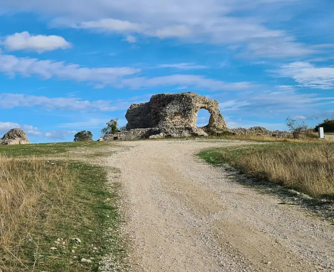
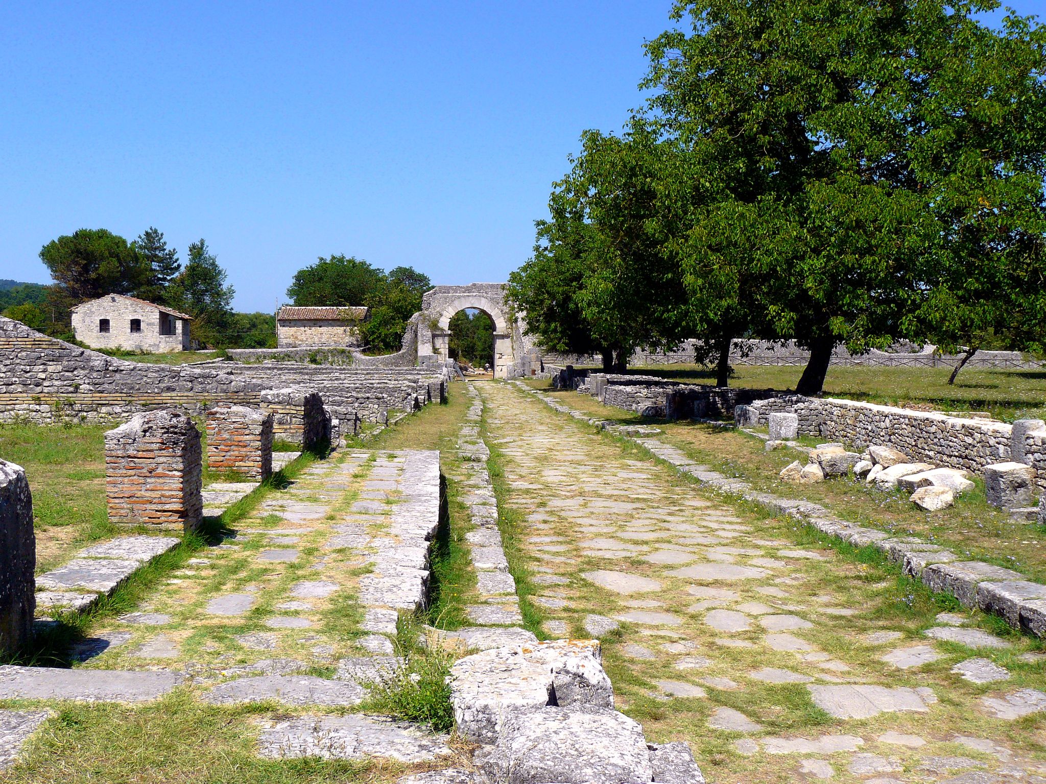
Città Samnita Pentra is an archaeological site of great historical interest, located in Molise. This ancient Samnite settlement preserves important finds and testimonies of its ancient civilization. https://molisensi.com/esperienze/citta-sannita-pentra/
1
0

Frequently Asked Questions
How many bus station hiking trails are available in Campobasso?
There are 16 hiking routes available directly from bus stations in Campobasso, offering various options for exploration. These include 12 easy routes and 4 moderate routes, ensuring there's something for every skill level.
What kind of terrain can I expect on hikes accessible from Campobasso bus stations?
The terrain around Campobasso is quite varied. You can expect paths winding through pleasant woods, clearings with views over the Trigno valley, and routes that lead into the foothills of the Matese Mountains. Some trails might feature distinct geological formations like the Calanchi di Montenero, while others follow river sources like the Biferno.
Are there easy hiking options from Campobasso bus stations suitable for beginners or families?
Yes, there are 12 easy routes accessible from bus stations in Campobasso, perfect for beginners or families. A great option is the Hiking loop from Campobasso, which is just over 6 km long with minimal elevation gain, making it a pleasant walk for all ages.
Are there any longer or more challenging routes accessible by bus from Campobasso?
For those seeking a bit more challenge, there are 4 moderate routes available. The Hiking loop from Ferrazzano is a good choice, covering 10.2 km with a moderate elevation gain, offering a more extended experience through the Molise landscape.
Are there circular hiking routes available from Campobasso bus stations?
Yes, many of the routes accessible from bus stations are circular, allowing you to start and end at the same point. Examples include the Hiking loop from Campobasso and the Bosco Faiete in the Snow loop from Serbatoio Idrico Comunale Tappino, which offer convenient round trips.
Can I bring my dog on these bus station hikes?
Generally, dogs are welcome on hiking trails in the Campobasso region. However, it's always recommended to keep your dog on a leash, especially in nature reserves, near livestock, or in areas with wildlife, to ensure safety and respect for the environment and other hikers.
What natural features or viewpoints can I expect to see on these trails?
The region offers stunning natural beauty. You can find routes leading to the Matese Mountains, offering panoramic views, or explore areas near the sources of the Biferno River. While specific waterfalls are not prominent, the diverse landscapes provide many scenic viewpoints, especially from higher elevations like those found near Monte La Gallinola in the Matese Regional Park.
Are there historical sites or landmarks along the bus station hiking trails?
Absolutely. Many trails in the Campobasso area blend natural beauty with rich history. You can explore the Campobasso Historic Center, which leads up to the Monforte Castle, offering panoramic views. Other routes might take you near the Svevo Castle or the Old Town of Termoli, providing a glimpse into the region's past.
What is the best time of year to hike from Campobasso bus stations?
Spring and autumn are generally the best seasons for hiking in Campobasso. The weather is mild, and the landscapes are vibrant with blooming flowers or rich autumn colors. Summer can be hot, especially at lower elevations, while winter offers opportunities for snow hiking in the Matese Mountains, though some routes might be less accessible.
What do other hikers say about the bus station trails in Campobasso?
The bus station trails in Campobasso are highly regarded by the komoot community, with an average rating of 4.3 out of 5 stars from 326 ratings. Hikers often praise the accessibility of these routes, the blend of natural scenery with historical sites, and the variety of options suitable for different fitness levels.
Where can I find refreshments or cafes near the bus station hiking trails?
Many trails start or pass through towns and villages where you can find local cafes, bars, and restaurants. In Campobasso itself, the historic center offers numerous options. For routes further afield, it's advisable to check the specific route details on komoot or carry your own provisions, especially for longer hikes.
Most popular routes in Campobasso
Most popular attractions in Campobasso

Get inspired with the komoot mobile app


Didn’t find what you were looking for?
Check out more Hikes throughout Campobasso below and find the perfect route in your destination.
Explore more
Browse the best Hikes in other regions.
