The best hikes from bus stations in Santander
4.4
(8221)
51,753
hikers
401
hikes
Bus station hiking trails in Santander provide access to a diverse landscape characterized by its dramatic coastline, lush parks, and proximity to mountain ranges. The region features geological formations, extensive coastal paths, and areas like the Magdalena Peninsula offering varied terrain. Hikers can explore a mix of coastal views, forested areas, and more challenging routes leading towards the Picos de Europa.
Best bus station hiking trails in Santander
- The most popular bus station hiking route is Senda de la Dama…
Last updated: June 26, 2026
4.5
(40)
183
hikers
10.2km
03:16
430m
430m
Moderate hike. Good fitness required. Mostly accessible paths. Sure-footedness required.
4.8
(34)
152
hikers
13.0km
04:35
570m
570m
Hard hike. Good fitness required. Sure-footedness, sturdy shoes and alpine experience required.

Sign up for free
4.3
(12)
64
hikers
11.2km
03:02
150m
150m
Moderate hike. Good fitness required. Mostly accessible paths. Sure-footedness required.
4.1
(16)
72
hikers
Hard hike. Good fitness required. Sure-footedness, sturdy shoes and alpine experience required.
4.1
(16)
66
hikers
11.1km
04:26
830m
830m
Moderate hike. Good fitness required. Mostly accessible paths. Sure-footedness required.
Get access to more routes and recommendations from other explorers.
Sign up for free
Already have an account?
Our route recommendations are based on thousands of hikes, rides, and runs completed by other people on komoot.
Start today with a free account
Your next adventure awaits.
Login or Signup
Popular around Santander

Hikes from bus stations in Cantabria
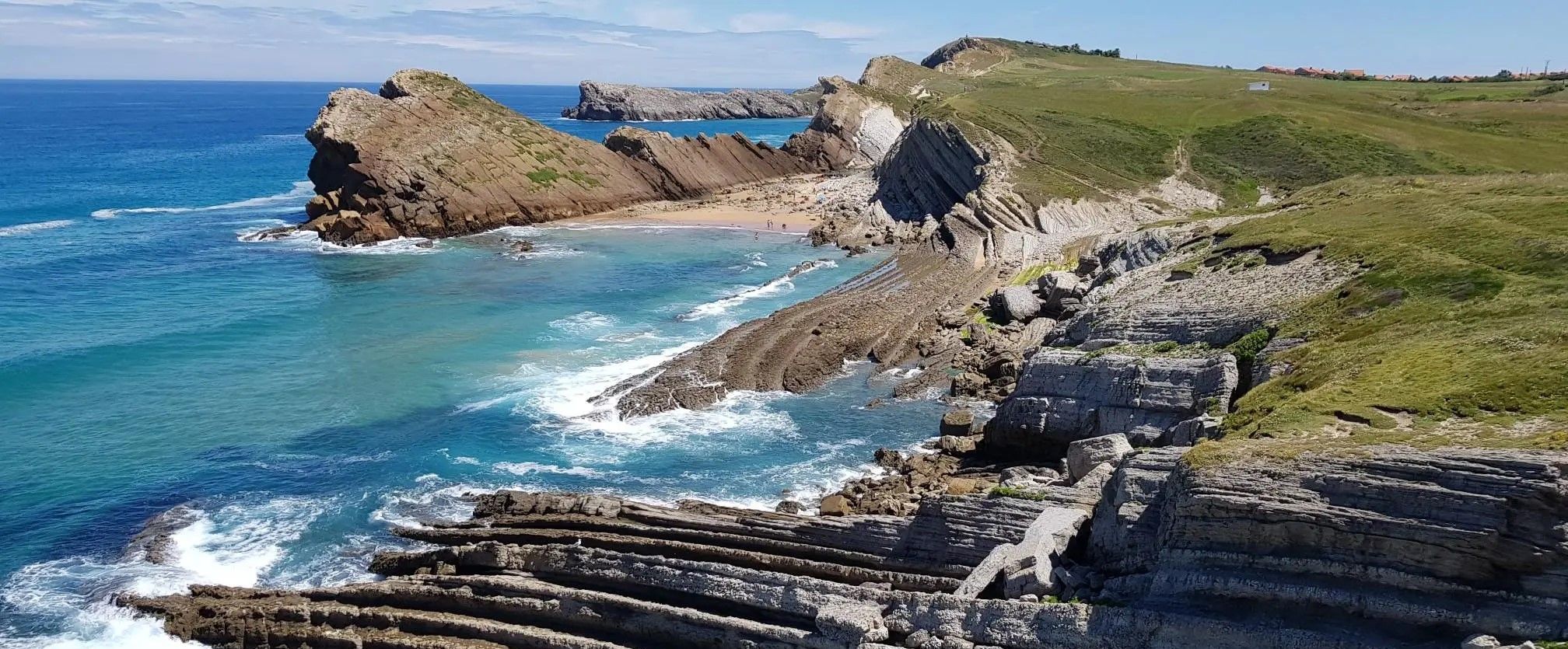
Water everywhere — Amazing routes near Santander

Between valleys and villages – Saja Reserve Trail (GR 71)
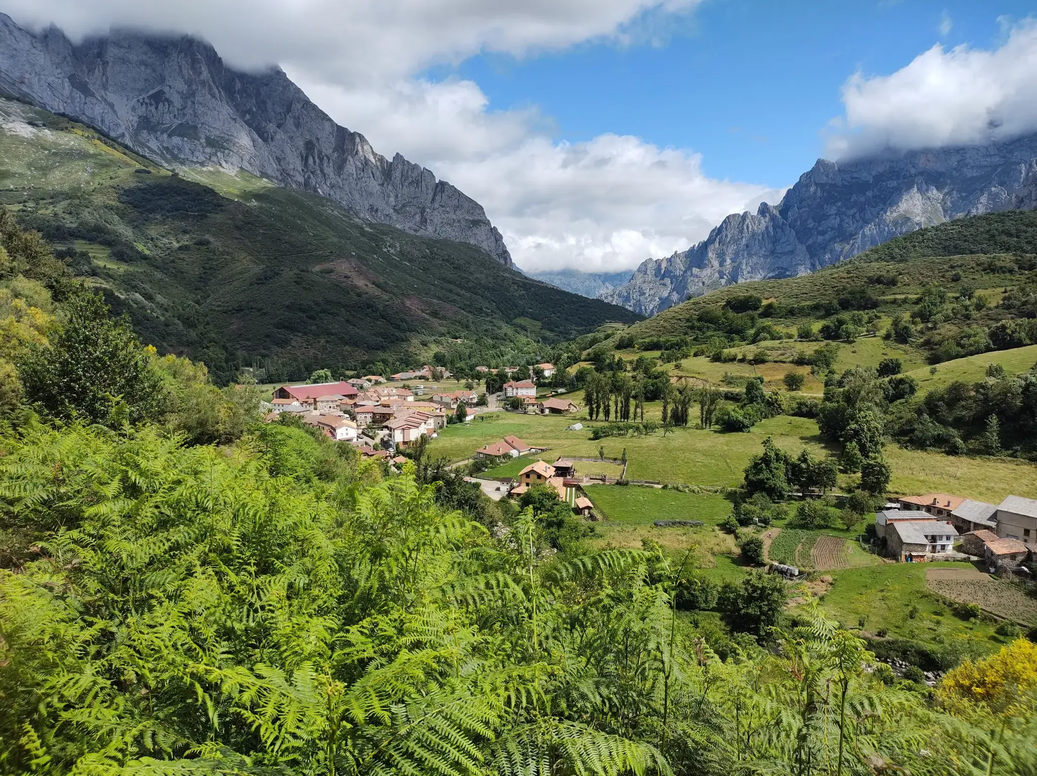
Hike Spain’s Picos de Europa – Ring of Peaks, Three Massifs
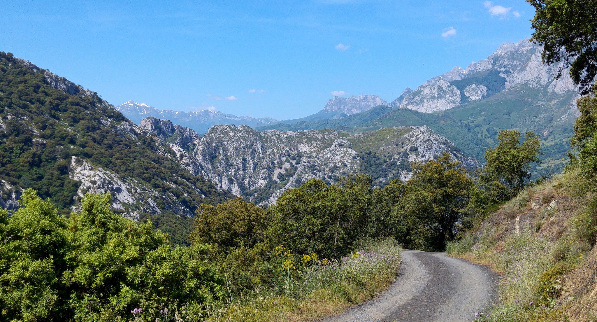
From the Cantabrian Sea to Europe’s peaks – Camino Lebaniego

Road to Lisbon – bikepacking the Alps, Pyrenees and Picos de Europa
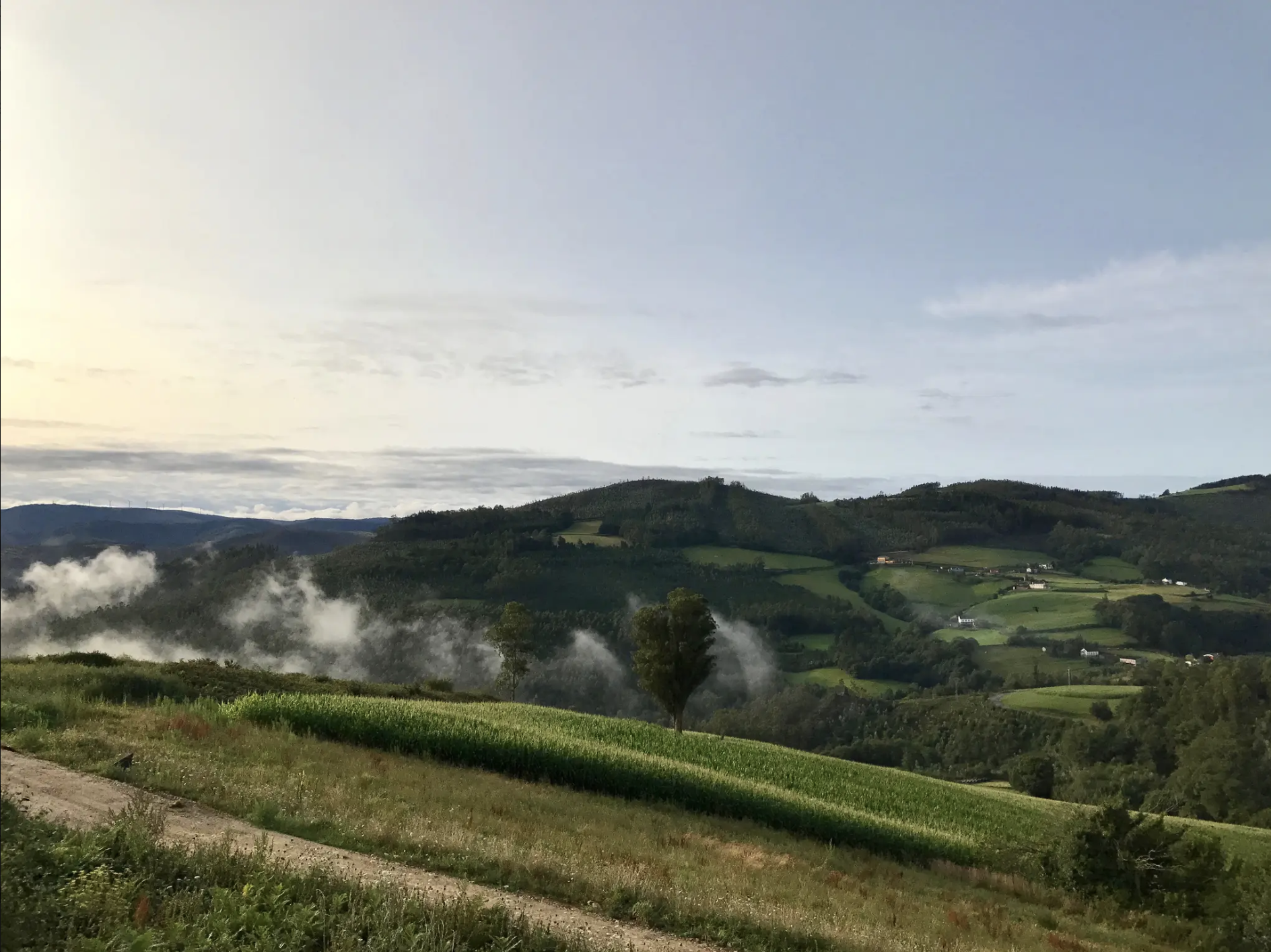
Camino del Norte (in reverse) – Discovering northern Spain's stunning coastline
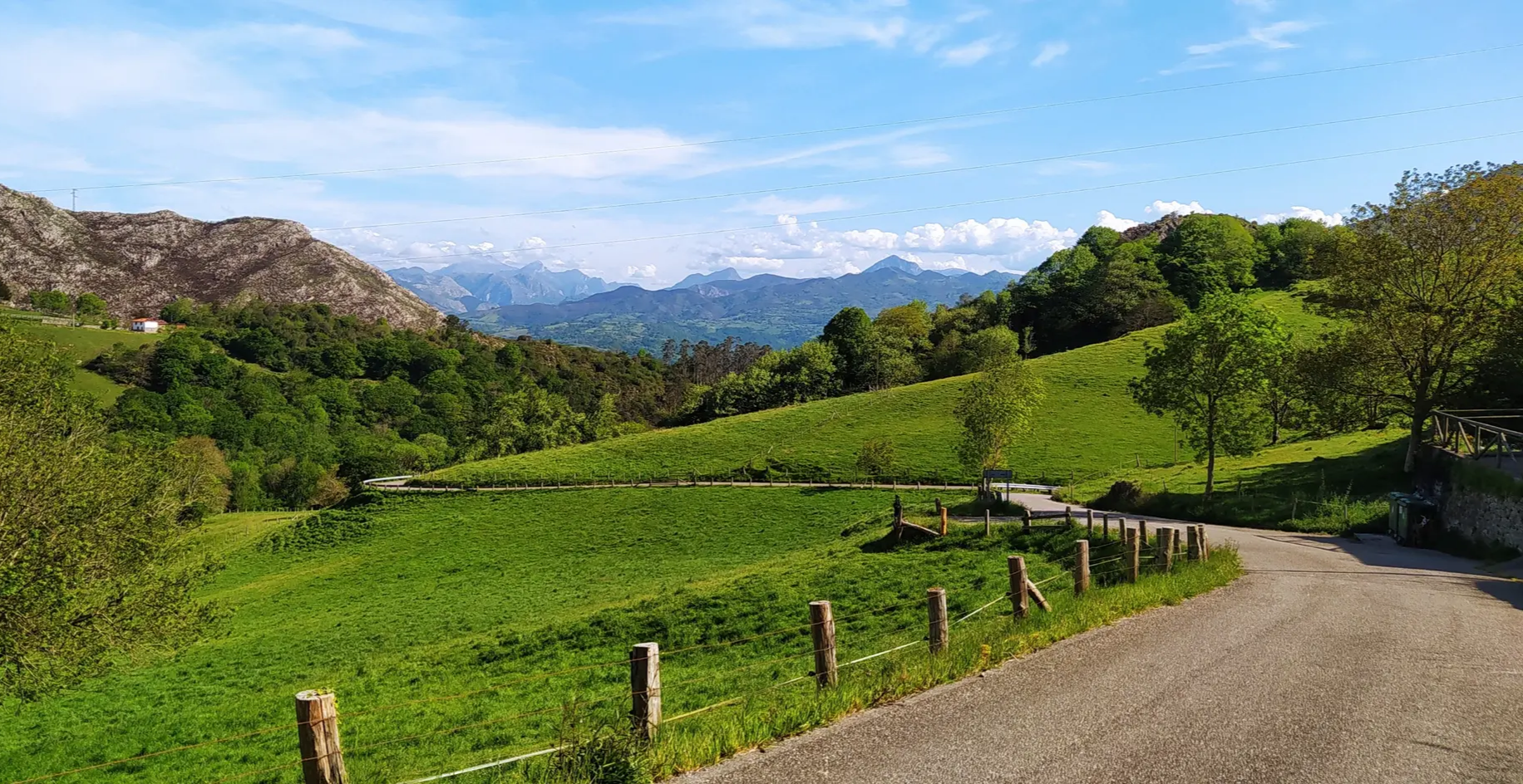
Great mountain passes of Picos de Europa on road bikes
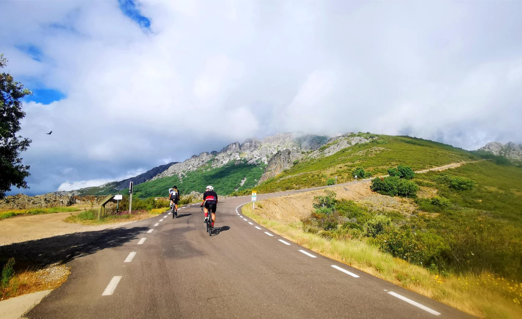
Legendary climbs - Ports of La Vuelta a España

TransCantabrica – Extreme mountain biking in northern Spain
Other adventures in Santander


Tips from the Community

Beautiful beach, which is very extraordinary with the arrangement of the rugged rocks!
0
0

Tips for your visit: Appropriate Footwear: Wear comfortable, non-slip shoes, as the steps can be slippery and steep. Physical Preparation: Make sure you are in good physical shape to fully enjoy the route and the return journey. Water and Sun Protection: Bring plenty of water, sun protection, and a hat to protect yourself from the sun during the hike. Respect for the Environment: Respect the local flora and fauna, and be sure to follow marked trails to preserve the natural beauty of the area. The Horse Lighthouse Route is more than just a hike; it's an experience that will connect you with the wild beauty of Cantabria and allow you to immerse yourself in the region's maritime history. Go ahead and embark on this adventure and discover the magic of the Horse Lighthouse for yourself!
0
0

In front of this summit cross crowning the heights of La Viorna, the following thoughts from Pope Francis – who died on Easter Monday this year – may be helpful to those who linger on the summit after the climb: "In the Resurrection of Christ, each of our destinies finds its place in the infinite horizon of eternity. Only from his death and resurrection does the certainty arise that nothing will be able to separate us from the love of God [as the Apostle Paul writes in his Letter to the Romans, chapter 8]. From this great hope comes every other glimmer of light with which we can overcome life's trials and obstacles. And not only that: the Risen One also walks with us and becomes our companion, as with the disciples on the road to Emmaus."
0
0

The best views of the region.
3
0
Peña la Zarceta is colloquially known as "Buciero." The views are a delight.
1
0

You have to register online in advance to control the number of visitors. One person should have an ID card with them. If you forget, there's a registration desk at the beginning of the stairs. Be sure to wear sturdy shoes!! Unfortunately, we saw the tip about swimming directly under the lighthouse too late; that would have been great.
1
1

Beach surrounded by a green area where dogs are allowed
0
0
Frequently Asked Questions
How many hiking trails are accessible from bus stations in Santander?
There are over 400 hiking routes in the Santander region that can be reached using public transport from bus stations. This includes a wide range of difficulties, from easy coastal strolls to more challenging mountain treks.
Are there easy hiking trails accessible by bus from Santander for beginners or families?
Yes, Santander offers many easy and family-friendly options accessible by bus. The Senda del Litoral: Costa Quebrada is a great example, offering stunning coastal views with minimal elevation gain. The Magdalena Peninsula and Mataleñas Park also provide pleasant, accessible walks.
What are some moderate hiking options accessible by bus from Santander?
For a moderate challenge, consider the Senda de la Dama Roja Trail. This route offers a good balance of distance and elevation, taking you through varied landscapes. Another excellent choice is the Trail to the Cross of La Viorna from Potes, which provides more significant climbs and rewarding views.
Are there any circular hiking routes accessible by bus from Santander?
Yes, many routes are designed as circular walks, allowing you to start and end at the same point, often conveniently near a bus stop. An example is the challenging Faro del Caballo – circular by the Natural Park of the Marshes of Santoña, Victoria and Joyel, which offers dramatic coastal scenery.
What kind of views can I expect on bus-accessible hikes near Santander?
The region boasts diverse and spectacular views. Many coastal trails, like those along the Costa Quebrada, offer panoramic vistas of the Bay of Biscay, dramatic cliffs, and secluded beaches. Inland routes provide views of lush Cantabrian landscapes and, in areas closer to the Picos de Europa, impressive mountain scenery. Don't miss the views from El Cable Viewpoint or near the iconic Cabo Mayor Lighthouse.
Can I bring my dog on these bus-accessible hiking trails?
Generally, dogs are welcome on most hiking trails in the Santander region, provided they are kept under control, especially around wildlife or livestock. However, specific bus lines or natural parks might have their own regulations regarding pets, so it's always best to check in advance for the particular route and transport you plan to use.
What is the best time of year for hiking near Santander bus stations?
The spring (April-June) and autumn (September-October) months are ideal for hiking in Santander, offering pleasant temperatures and fewer crowds. Summer can also be enjoyable, especially for coastal walks, but can be warmer. Winter hikes are possible, particularly on lower-altitude coastal paths, but higher mountain routes may be affected by snow and require appropriate gear.
Are there any interesting landmarks or natural monuments to see along these routes?
Absolutely! The region is rich in natural beauty and historical sites. You can encounter the impressive geological formations of the Costa Quebrada, visit the Cabo Mayor Lighthouse, or explore the unique Devil's Eye. Further afield, you might spot the Magdalena Palace or the historic San Vicente de la Barquera.
What do other hikers enjoy the most about hiking in Santander?
The komoot community rates hiking in Santander highly, with an average score of 4.4 stars. Reviewers frequently praise the stunning coastal scenery, the well-maintained paths, and the accessibility of diverse trails from public transport hubs. The combination of sea views, lush greenery, and charming villages is often highlighted as a major draw.
Are there opportunities for wild swimming or visiting beaches near bus-accessible trails?
Yes, many coastal trails lead to or pass by beautiful beaches and coves perfect for a refreshing dip. The Costa Quebrada, for instance, features numerous secluded spots. Canallave Beach is one such option, offering a chance to cool off after your hike. Always be mindful of local regulations and safety warnings when swimming in natural waters.
What should I wear for hiking on bus-accessible trails in Santander?
Given the varied terrain and coastal weather, it's best to dress in layers. Comfortable, moisture-wicking clothing is recommended, along with sturdy hiking shoes or boots suitable for uneven paths. A waterproof jacket is advisable, as weather can change quickly, especially near the coast. Don't forget sun protection, even on cloudy days.
Most popular routes in Santander
Most popular attractions in Santander

Get inspired with the komoot mobile app


Didn’t find what you were looking for?
Check out more Hikes throughout Santander below and find the perfect route in your destination.
Explore more
Browse the best Hikes in other regions.
