The best traffic-free bike rides in Cuenca
4.9
(27)
429
riders
40
rides
Gravel biking in Cuenca offers diverse terrain across its unique geographical position, characterized by river gorges, limestone formations, and extensive natural parks. The region features a network of unpaved tracks and natural paths, traversing through valleys and hills with significant elevation changes. The landscape is shaped by the four rivers – Tomebamba, Yanuncay, Tarqui, and Machángara – and the surrounding Andean mountains. This provides a varied environment for no traffic gravel bike trails.
Best no traffic gravel bike trails in…
Last updated: July 11, 2026
40
riders
152km
11:35
2,530m
2,530m
Hard gravel ride. Very good fitness required. Mostly paved surfaces. Suitable for all skill levels.
11
riders
144km
11:50
2,680m
2,680m
Hard gravel ride. Very good fitness required. Mostly paved surfaces. Suitable for all skill levels.

Sign up for free
3
riders
Hard gravel ride. Very good fitness required. Mostly paved surfaces. Suitable for all skill levels.
5.0
(2)
8
riders
83.7km
06:36
1,550m
1,550m
Hard gravel ride. Very good fitness required. Mostly paved surfaces. Suitable for all skill levels.
7
riders
68.8km
05:39
1,090m
1,090m
Hard gravel ride. Very good fitness required. Mostly paved surfaces. Suitable for all skill levels.
Get access to more routes and recommendations from other explorers.
Sign up for free
Already have an account?
Our route recommendations are based on thousands of hikes, rides, and runs completed by other people on komoot.
Start today with a free account
Your next adventure awaits.
Login or Signup
Popular around Cuenca

Traffic-free bike rides around Serrania Alta

Traffic-free bike rides around Mancha Baja

Traffic-free bike rides around Mancha Alta

Traffic-free bike rides around Manchuela

Traffic-free bike rides around Serrania Media

Traffic-free bike rides around Alcarria

Traffic-free bike rides around Serrania Baja
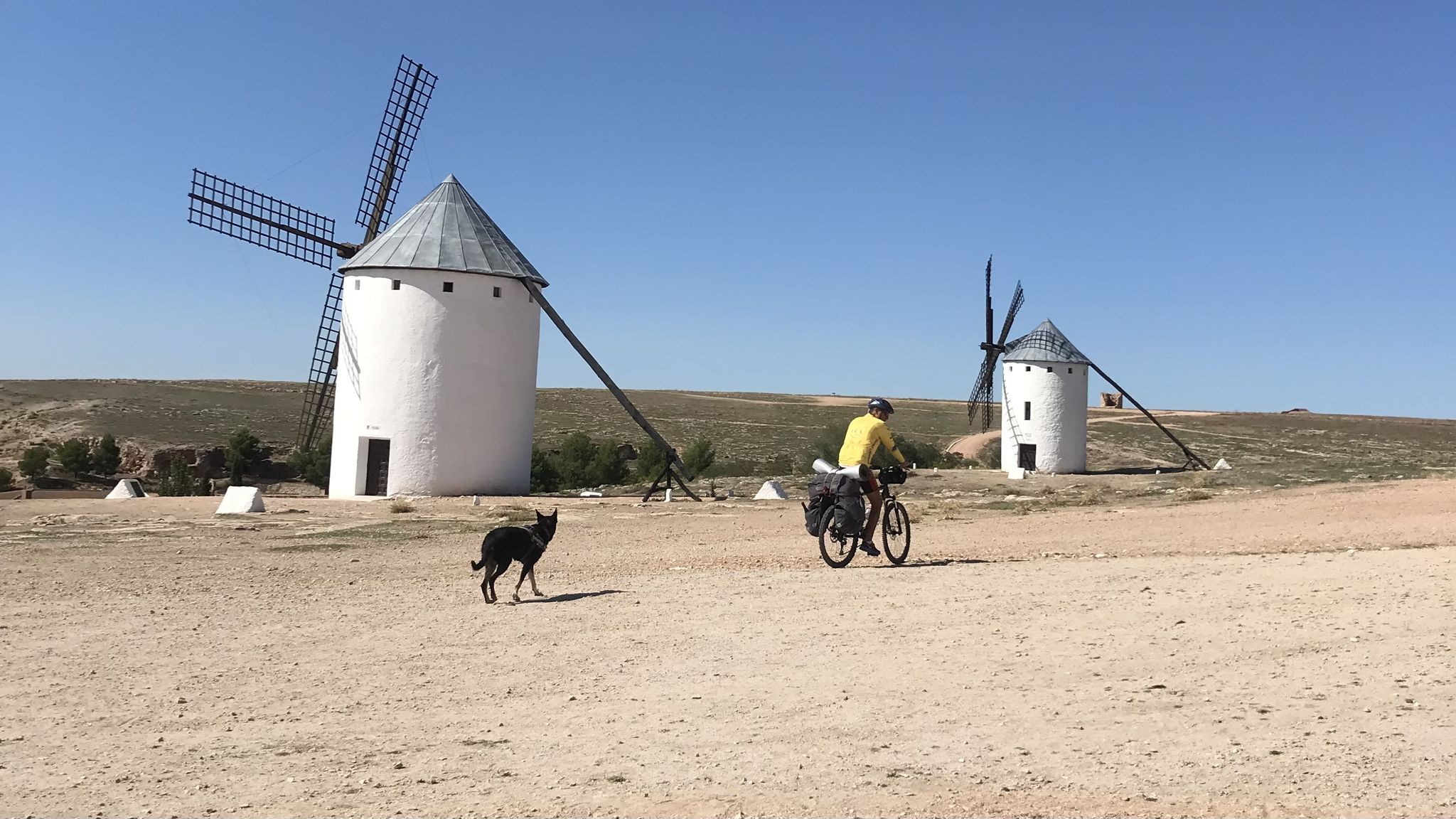
Don Quixote's route – The knight of the sorry face
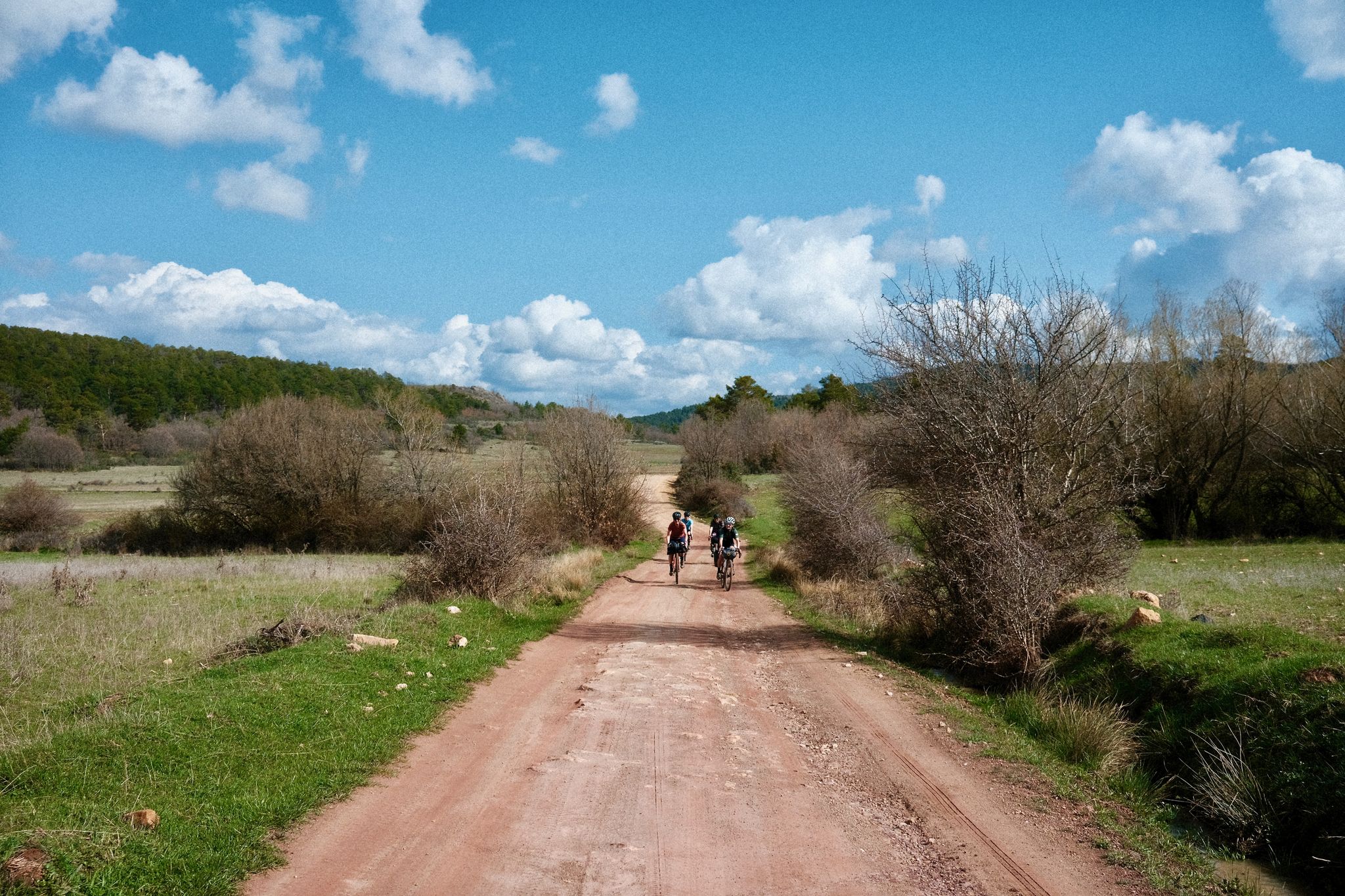
Women's Montañas Vacías 2022 — bikepack in rural Spain

MontañasVacías official — bikepacking across the Spanish Lapland
Other adventures in Cuenca


Tips from the Community

The Jucar River is approximately 500 km long and flows from the Montes Universales to Cullera, where it flows into the Gulf of Valencia.
4
0

Refuge in perfect condition for spending a night, it had four bunk beds, a fireplace area, and a small stable.
0
0

It is located in Plaza del Pino, one of the main squares of Tragacete. The fountain is part of the urban walking tour, which also includes the church, the Town Hall, and the visitor center. It is a traditional urban fountain, integrated into the historic center. It serves as a water source for residents and visitors. It is mentioned as one of the highlights to see in the town along the tourist route.
13
0
The Town Hall Square in Tragacete is located at Plaza de la Constitución, nº1, which is the official address of the Town Hall. Plaza de la Constitución is a central square in the town center of Tragacete, near: Hostal El Gamo Plaza de María Luisa Vallejo Municipal pelota court
11
0
Tragacete is a wonderful destination to visit! This small village is nestled in the Serranía de Cuenca mountains and offers a stunning natural setting. Nearby, you'll find the source of the Cuervo River, a spectacular waterfall surrounded by a beautiful forest, ideal for walks and enjoying nature. The Parish Church of San Miguel Arcángel, built in the 16th century, is one of the village's most emblematic monuments. 😎⛪🌄🚶♀️🚵🚴
11
0

A true gateway to the famous Hanging Houses of Cuenca.
1
0

Next to the town square and with our backs to the village, we find the local church, whose state of preservation is not exactly the best of all the churches in the region, but it is still open for worship and mass is held at least once a week.
10
0
In Tragacete, water is plentiful from the moment you enter the town until you leave, which is why there are several public fountains. The drawback is that the water comes from the local network and is chlorinated, so the taste in the water containers is usually unpleasant, especially after several days of drinking spring water.
9
0
Frequently Asked Questions
How many no-traffic gravel bike trails are available in Cuenca?
There are over 50 dedicated no-traffic gravel bike trails in Cuenca, offering a wide range of experiences. You'll find everything from moderate riverside paths to challenging routes with significant elevation gain through the Andean landscapes.
Are there easy no-traffic gravel bike trails suitable for beginners in Cuenca?
Yes, Cuenca offers several easy no-traffic gravel bike trails perfect for beginners. These often follow the city's river corridors, such as the Tomebamba and Yanuncay, providing scenic and relatively flat rides. One example is the Júcar Gorge – Júcar Riverside Walk loop from Cuenca, which is rated as moderate but offers a manageable 28.7 km ride through picturesque scenery.
What are some challenging no-traffic gravel routes for experienced riders in Cuenca?
For experienced gravel bikers seeking a challenge, Cuenca's surrounding Andean mountains and high-altitude páramo offer demanding routes. Trails within or near El Cajas National Park provide rugged terrain and significant elevation changes. Consider routes like the Puente de Peñalén – Trail along the Tajo River loop, which covers over 73 km with more than 1000 meters of ascent, or the Beteta – Refugio de la Alconera loop, a difficult 105 km ride with nearly 1850 meters of climbing.
Can I find circular no-traffic gravel bike routes in Cuenca?
Absolutely. Many of the no-traffic gravel bike trails in Cuenca are designed as loops, allowing you to start and end at the same point. This is ideal for day trips and exploring specific areas. The Chorros de Barchel Waterfalls – Views of the Benagéber Reservoir loop is a challenging 65 km circular route that offers stunning natural beauty.
What natural attractions can I see along no-traffic gravel bike trails in Cuenca?
Cuenca's no-traffic gravel trails often lead through breathtaking natural landscapes. You can explore the dramatic Júcar Gorge, discover unique rock formations like the Enchanted City, or visit the serene Uña Lagoon. Many routes also offer panoramic viewpoints such as Estrecho del Horcajo Viewpoint and Ventano del Diablo, providing stunning vistas of the region.
Are there any waterfalls accessible from no-traffic gravel bike routes in Cuenca?
Yes, the Cuenca region is home to impressive waterfalls. While not directly on every gravel route, some trails can lead you close to areas like the Chorros de Barchel Waterfalls, which are part of the Chorros de Barchel Waterfalls – Views of the Benagéber Reservoir loop. Further afield, the village of Girón, about 45 minutes from Cuenca, boasts the impressive El Chorro de Girón, which can be a rewarding full-day hike or a destination for a longer gravel adventure.
What is the best time of year for no-traffic gravel biking in Cuenca?
The best time for gravel biking in Cuenca generally depends on the specific elevation of your chosen route. The city itself enjoys a temperate climate year-round due to its altitude. However, for higher altitude routes, especially those near El Cajas National Park, it's advisable to avoid the wettest months (typically October to May) and be prepared for quickly changing weather conditions, including cold temperatures and fog, even in the dry season. Always check local forecasts before heading out.
Are there family-friendly no-traffic gravel trails in Cuenca?
For families, the extensive network of bicycle lanes and paths along Cuenca's four rivers (Tomebamba, Yanuncay, Tarqui, and Machángara), known as the "Ciclovía Cuenca Unida," offers excellent no-traffic options. These paths provide a mix of urban scenery and natural beauty, with varying grades suitable for different ages and skill levels. Look for shorter, less elevated routes for a pleasant family outing.
What do other gravel bikers enjoy most about no-traffic gravel biking in Cuenca?
The komoot community highly rates the no-traffic gravel biking experience in Cuenca, with an average score of 4.9 out of 5 stars. Reviewers often praise the region's diverse terrain, the stunning Andean landscapes, and the tranquility of riding away from vehicle traffic. The mix of unpaved tracks, natural paths, and the challenge of significant elevation changes are frequently highlighted as key attractions.
Are there any hidden gem no-traffic gravel trails in Cuenca that offer unique experiences?
Beyond the well-known routes, exploring the smaller paths and tracks around the rural neighborhoods connected by the Turi Viewpoint can reveal some hidden gems. These often lead through less-traveled areas, offering unique insights into the local landscape and culture. Additionally, the region's extensive network means that many less-publicized tracks exist, providing opportunities for discovery away from the main routes.
Can I find no-traffic gravel routes that offer panoramic viewpoints of Cuenca?
Yes, several no-traffic gravel routes in the vicinity of Cuenca offer spectacular panoramic views. The Puntal de la Tola Viewpoint is a notable spot, and routes leading to or around the Turi Viewpoint (Mirador de Turi) provide sweeping vistas of the city and its surrounding mountain ridges. These elevated spots are perfect for photography and enjoying the vastness of the Andean landscape.
Most popular routes in Cuenca
Most popular attractions in Cuenca

Get inspired with the komoot mobile app


Didn’t find what you were looking for?
Check out more Gravel rides throughout Cuenca below and find the perfect route in your destination.
Explore more
Browse the best Gravel rides in other regions.
