The best family-friendly hikes and walks in North Ayrshire
4.5
(955)
8,777
hikers
233
hikes
Family friendly hiking trails in North Ayrshire offer a diverse landscape for outdoor exploration, ranging from scenic coastlines and sandy beaches to rolling hills, lush valleys, and extensive woodlands. The region encompasses the mainland's Firth of Clyde shoreline and islands like Arran and Cumbrae, providing varied terrain for all levels of hikers. Inland areas feature green countryside, rivers, and waterfalls, while forests cover a significant portion of the land. This blend of coastal paths, island trails, and inland routes makes North Ayrshire a compelling destination for family friendly walks.
Best family friendly hiking trails in North Ayrshire
- The most popular family friendly hiking route is Glenashdale Waterfall loop from Ashdale Bridge, an easy 3.7 miles (5.9 km) trail that takes about 1 hour 42 minutes to complete. This route leads to the impressive Glenashdale Falls on the Isle of Arran.
- Another top favourite among local hikers is Iron Age Fort & Glenashdale Falls from Whiting Bay, an easy 3.7 miles (5.9 km) path. This trail combines historical exploration with natural beauty, passing an Iron Age fort and the waterfalls.
- Local hikers also love the Glen Rosa loop from Glen Rosa Campsite — Isle of Arran, a 4.9 miles (7.9 km) trail leading through a scenic valley, often completed in about 2 hours 9 minutes.
- Hiking in North Ayrshire is defined by coastal paths, island landscapes, and verdant inland valleys with waterfalls. The network offers options for various ability levels, from gentle strolls to more moderate ascents.
- The routes in North Ayrshire are highly rated by the komoot community with an average score of 4.6 stars from over 860 reviews. More than 8,300 hikers have used komoot to explore North Ayrshire's varied terrain.
Last updated: July 11, 2026
4.8
(92)
887
hikers
11.8km
04:26
810m
800m
Embark on the Goatfell Trail, a moderate hike that takes you 7.3 miles (11.8 km) to the highest peak on the Isle of Arran. You will gain 2645 feet (806 metres) in elevation, a journey that typically takes around 4 hours and 26 minutes to complete. The path begins in a forest, gradually opening up to birch woodland and heather moorland as you ascend. As you climb higher, you will be treated to expansive views looking back towards Brodick Bay and Holy Island. The final push to Goatfell Summit involves some scrambling over boulders, rewarding you with panoramic vistas across the entire island.
To begin your hike, you can access the trailhead near Brodick Castle or the Arran Brewery. Keep in mind that while the overall route is moderate, the upper sections require good fitness and some prior hiking experience due to the boulder scrambling. These more challenging parts may not be suitable for very young children. The Isle of Arran itself is reached by ferry to Brodick, making it a convenient destination for a day trip or a longer stay.
This trail offers a unique opportunity to experience what many call "Scotland in miniature" from its highest point. From Goatfell Summit, on a clear day, you might even spot distant landmarks like Jura, Ben Lomond, and the coast of Ireland. The route is managed by the National Trust for Scotland, ensuring a well-maintained path through diverse landscapes, from sheltered woodlands to exposed mountain ridges.
4.8
(61)
430
hikers
5.89km
01:42
150m
150m
Embark on an easy hike along the Glenashdale Waterfall loop from Ashdale Bridge, a route that takes you through lush wooded glens and past impressive natural features. You will cover 3.7 miles (5.9 km) with a gentle elevation gain of 496 feet (151 metres), making it a comfortable journey for most. The highlight is undoubtedly the magnificent Glenashdale Falls, a double cascade plunging 45 meters, which you can admire from a dedicated viewing platform.
Starting your adventure is straightforward from Ashdale Bridge, where parking is generally available nearby. This loop is accessible without any specific permits or fees, and you will find picnic tables along the way if you wish to take a break. The estimated duration for this hike is around 1 hour and 42 minutes, so you can easily fit it into your day.
Beyond the stunning waterfall, the trail offers a glimpse into ancient history with the Neolithic chambered cairns known as the Giants' Graves. These historical sites provide not only cultural interest but also offer panoramic views over Whiting Bay and Holy Island, adding another layer to your experience on this scenic Isle of Arran route.

Sign up for free
4.7
(34)
277
hikers
18.8km
06:17
870m
870m
Embark on the Goatfell and Glen Rosa Loop, a challenging 11.7 miles (18.8 km) hiking route that takes approximately 6 hours and 17 minutes to complete. You will gain 2848 feet (868 metres) in elevation, making this a truly demanding adventure. The trail leads you through varied terrain, from dense vegetation to open moorland, culminating in a scramble to the Goatfell Summit. From the summit, you are rewarded with expansive views across the Scottish islands and mainland. The descent then guides you into the serene Glen Rosa, characterized by its flowing river and clear pools.
Plan your hike carefully, as this difficult route demands preparation. In winter, you will need specialized equipment like ice-axes and crampons, along with the necessary skills to use them safely. The path can be boggy and slippery in certain sections, especially after rain, so wear appropriate footwear. Be aware that midges can be present, particularly during warmer months, so consider bringing repellent. The trail is easily accessible from Brodick, with common starting points near the Arran Brewery or the Brodick Castle car park.
This loop offers a quintessential Arran hiking experience, showcasing the island's dramatic natural environment. You will encounter large boulders on your ascent to Goatfell, adding to the rugged feel of the landscape. The descent includes scrambly sections, notably along the Stacach Ridge, before you reach the tranquil beauty of Glen Rosa. This glen is particularly known for its gurgling river, small waterfalls, and clear pools, providing a refreshing contrast to the mountain climb.
4.6
(35)
222
hikers
7.95km
02:10
110m
120m
Embark on the Glen Rosa loop from Glen Rosa Campsite, a moderate hike spanning 4.9 miles (7.9 km) with an elevation gain of 368 feet (112 metres), typically completed in 2 hours and 9 minutes. The trail begins on generally level, well-maintained paths, transitioning to narrower, potentially boggier footpaths deeper into the glen. You will pass through forests and open hillside, with dramatic views of Goat Fell and the A'Chir ridge emerging as you progress.
This popular route starts directly from the Glen Rosa Campsite, making it easily accessible for those staying there. The trail attracts many hikers, including dog walkers, due to its picturesque and varied experience. While the initial sections are straightforward, be prepared for rougher paths as you venture further into the glen.
The Glen Rosa loop is known for its stunning natural beauty, with the Glenrosa Water flowing alongside the path. This water features many plunge pools, perfect for wild swimming on a warm day. You can also find the Glen Rosa Waterfall with a slight detour near a footbridge, and there is an option to extend your hike towards The Saddle for more challenging terrain and panoramic views into Glen Sannox.
4.7
(11)
125
hikers
5.90km
01:40
130m
130m
Embark on an easy hiking adventure to the Iron Age Fort & Glenashdale Falls from Whiting Bay, a route that spans 3.7 miles (5.9 km) and involves a gentle ascent of 420 feet (128 metres). You can expect diverse scenery along the way, moving from peaceful wooded glens to expansive coastal views. The trail offers a rewarding experience, leading you past the impressive Glenashdale Falls, a double cascade that is particularly striking after rainfall, and up to the ancient Iron Age fort remains. This hike typically takes around 1 hour and 40 minutes to complete at a steady pace.
To begin your journey, head to the Ashdale Bridge car park, conveniently located at the southern end of Whiting Bay. The trail is well-signposted from this starting point, making navigation straightforward as you explore the area. This accessible trailhead ensures you can easily find your way and start your hike without any hassle. Consider checking local weather before you go, especially if you want to see the falls at their most powerful after rain.
This route stands out for its blend of natural beauty and historical significance. As you ascend, you will not only discover the remnants of an Iron Age fort but also enjoy stunning panoramic vistas over Whiting Bay and the distant Holy Island. The trail provides a unique opportunity to connect with both the island's ancient past and its breathtaking coastal landscape, offering a memorable experience for anyone looking to explore Arran's rich heritage.
Get access to more routes and recommendations from other explorers.
Sign up for free
Already have an account?
Our route recommendations are based on thousands of hikes, rides, and runs completed by other people on komoot.
Start today with a free account
Your next adventure awaits.
Login or Signup
Popular around North Ayrshire
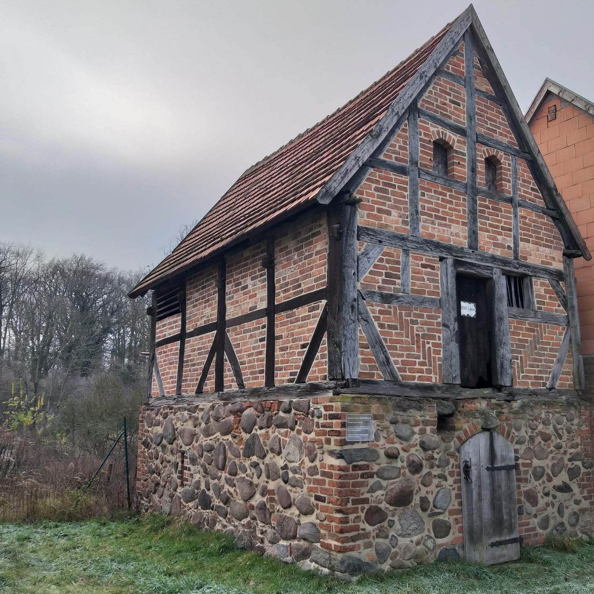
Family-friendly hikes in North Arran

Family-friendly hikes in Clyde Muirshiel
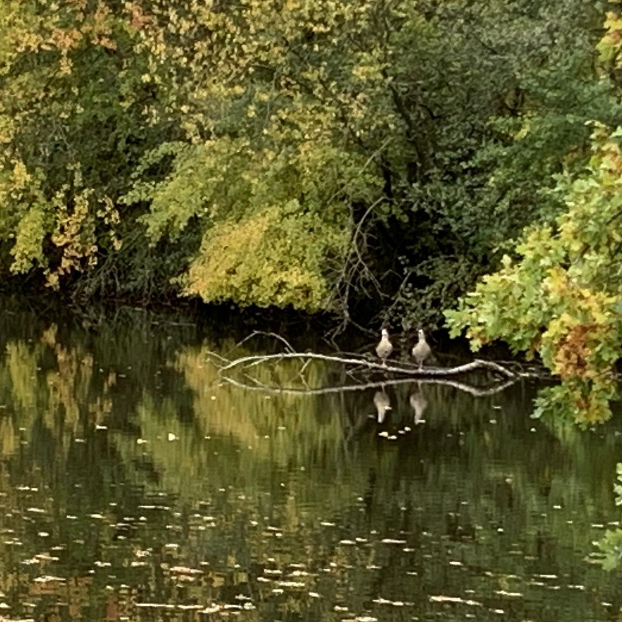
Family-friendly hikes around South Arran Marine Protected Area
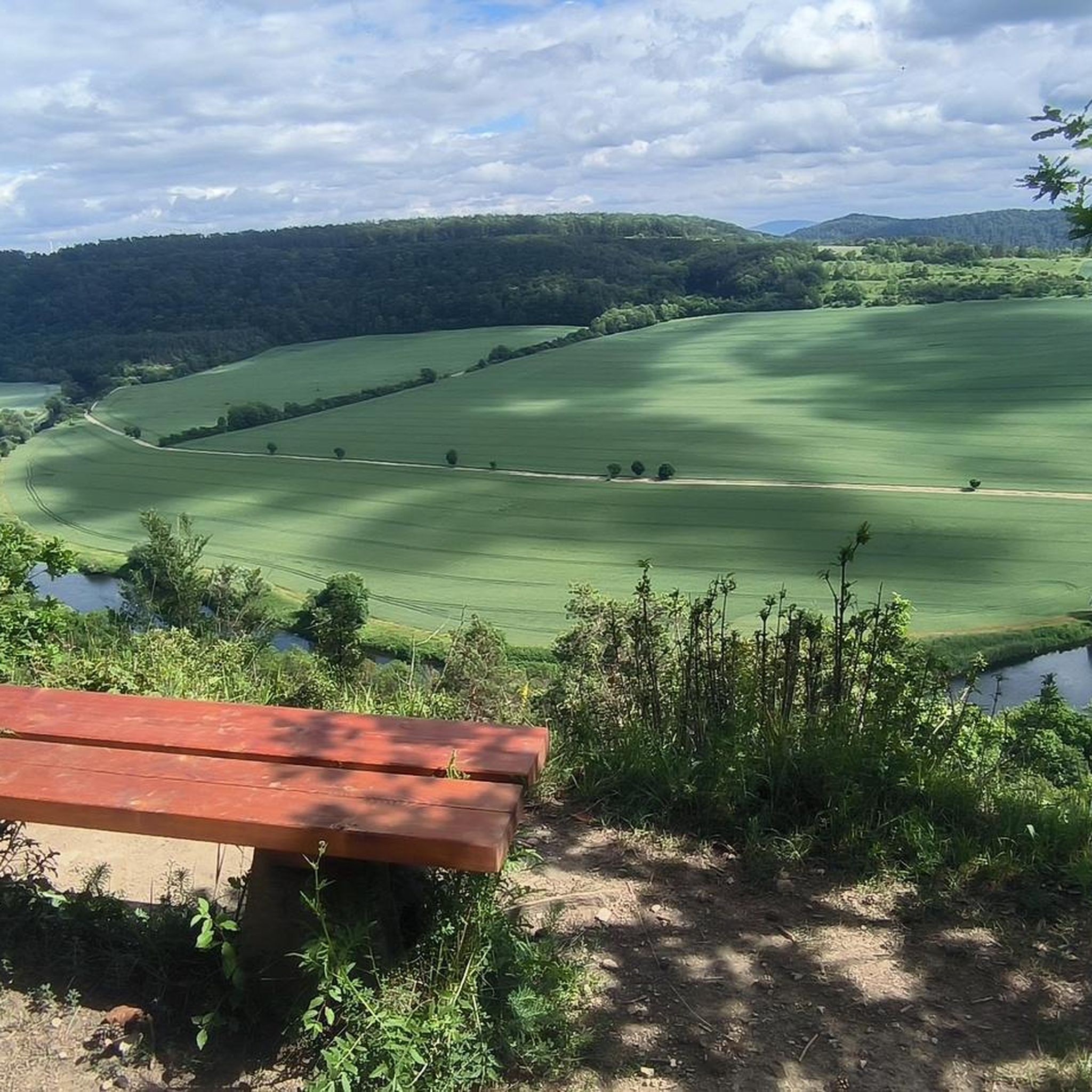
Family-friendly hikes around Clyde Muirshiel Regional Park
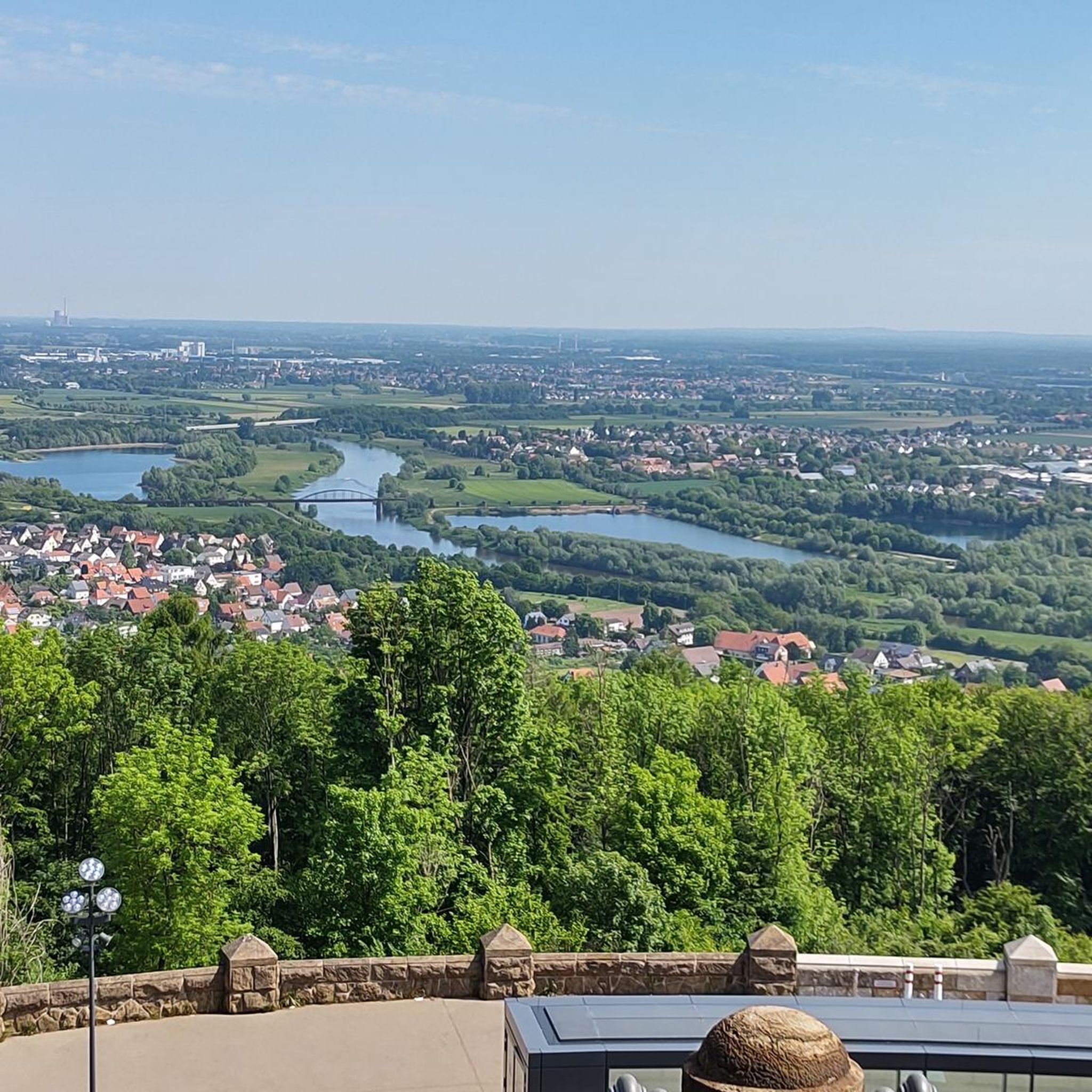
Family-friendly hikes around Glenashdale Wood

Family-friendly hikes around Ashgrove Loch
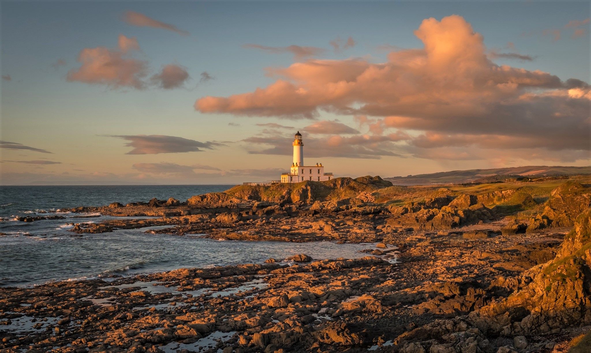
Ayrshire Coastal Path — A sublime panoramic coastline hike
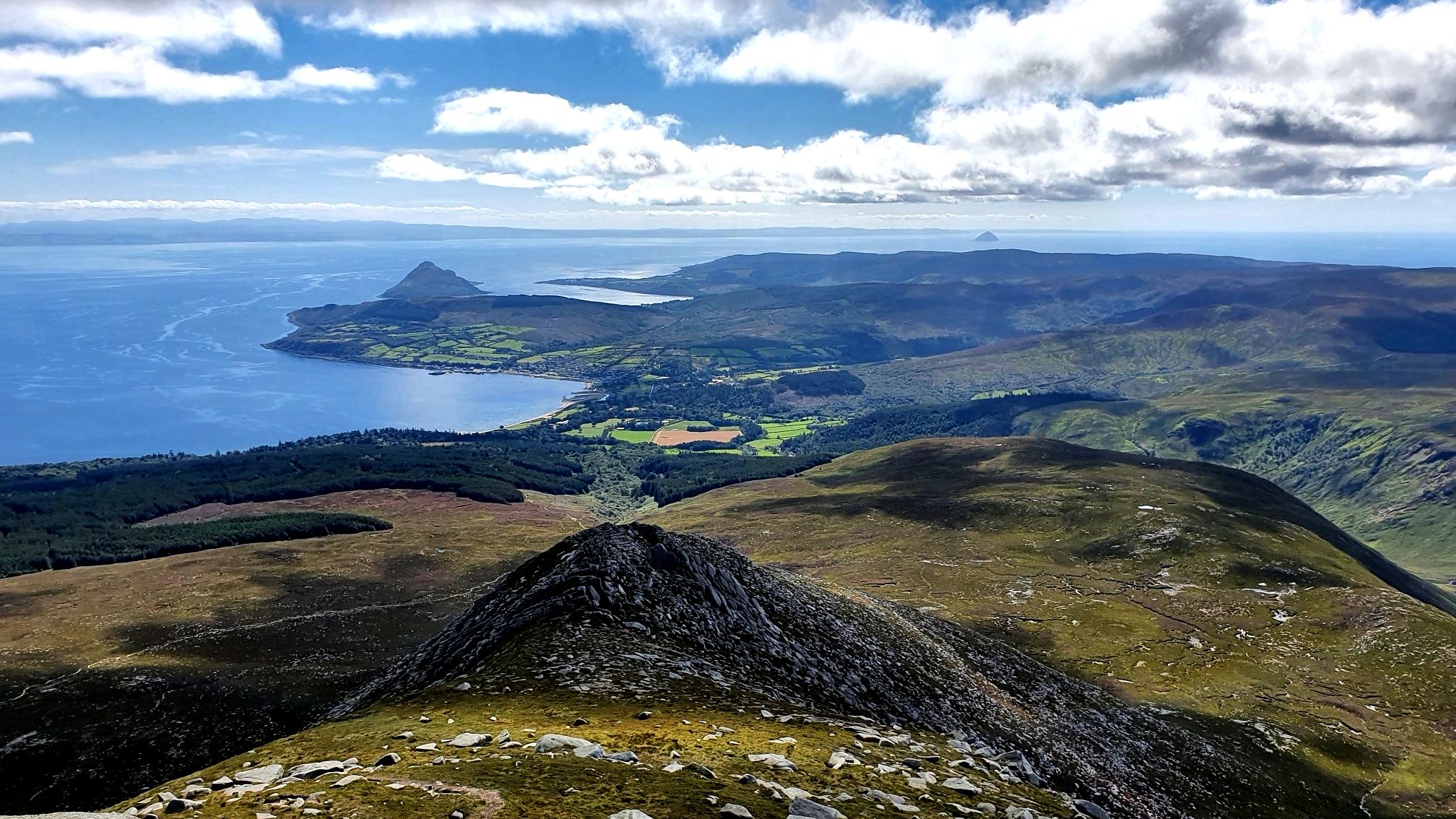
Arran Coastal Way — A breathtaking loop of 'Scotland in miniature'

Walk Britain – 90 car-free adventures in England, Wales and Scotland
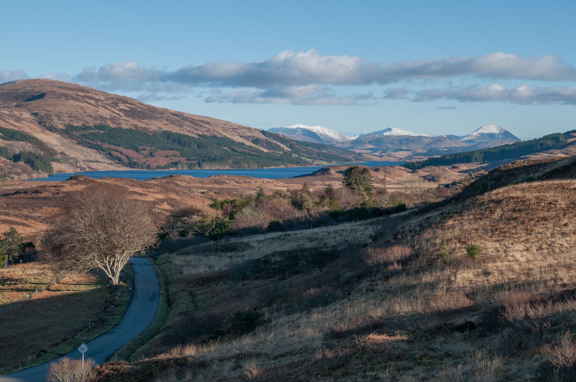
West Island Trail – Island hopping by bike in the Inner Hebrides


Tips from the Community

A fine route, but requires care in places as it is steep and sometimes loose.
0
0
Eas a' Chrannaig is the biggest and best waterfall on Arran!
0
0
You pass this waterfall on the way to Beinn Nuis, a section of it is more of a slide down to granite slab.
0
0


Great place for a 2Hr yomp, steep in places and many ways to plan a route so choose which items to see and a route that suits you
0
0

Outstanding views of the Goatfell summit further up the trail.
0
1
Frequently Asked Questions
How many family-friendly hiking trails are available in North Ayrshire?
North Ayrshire offers a fantastic selection of family-friendly hiking trails. You'll find over 120 easy routes and nearly 100 moderate options, ensuring there's something suitable for every family's adventure level.
Are there many easy trails suitable for families with young children or beginners?
Absolutely! North Ayrshire is well-suited for families and beginners, with over 120 easy routes. Many of these trails feature gentle terrain and shorter distances, perfect for little legs. For example, the Glenashdale Waterfall loop from Ashdale Bridge on Arran is an easy option that combines natural beauty with manageable distances.
Can we find trails that feature waterfalls in North Ayrshire?
Yes, North Ayrshire boasts several picturesque waterfalls that make for exciting family hiking destinations. On the Isle of Arran, you can explore the impressive Glenashdale Falls, which can be reached via routes like the Glenashdale Waterfall loop from Ashdale Bridge or the Iron Age Fort & Glenashdale Falls from Whiting Bay. On the mainland, the Spout of Garnock in the Garnock Valley is another notable natural feature.
What kind of coastal walks are suitable for families in North Ayrshire?
North Ayrshire's extensive coastline along the Firth of Clyde offers numerous family-friendly coastal walks. While the full Clyde Coastal Path is long, many sections near towns like Largs and Skelmorlie provide stunning views across to the islands of Arran, Cumbrae, and Bute, often with relatively flat and accessible paths. These are great for enjoying the sea air and sandy beaches.
Are there family-friendly hiking options on the Isle of Arran?
The Isle of Arran, often called 'Scotland in Miniature,' is a fantastic destination for family hikes. Beyond the more challenging ascent of Goatfell, there are easier trails like the Glenashdale Waterfall loop, which is an easy 5.9 km route. The island also features trails around King's Cave and the Glen Rosa area, such as the Glen Rosa loop from Glen Rosa Campsite, offering diverse landscapes from forests to beaches.
Are there any pushchair or stroller-friendly trails in the region?
While specific pushchair-friendly routes are not always explicitly marked, many of the easy trails in North Ayrshire, particularly those in country parks like Eglinton Country Park near Irvine or around Lochshore Park near Kilbirnie Loch, feature well-maintained, relatively flat paths suitable for strollers. We recommend checking individual route descriptions for surface details to ensure suitability.
Can I bring my dog on family hikes in North Ayrshire?
Many trails in North Ayrshire are dog-friendly, making it a great region for family adventures with your canine companion. However, it's always best to keep dogs on a lead, especially near livestock, wildlife, or in busy areas. Please remember to clean up after your dog to help keep the trails enjoyable for everyone.
What interesting landmarks or attractions can we see along the family trails?
North Ayrshire's trails often lead to or pass by fascinating landmarks. On the Isle of Arran, you can visit the prehistoric Giant's Graves near Glenashdale Falls or explore Lochranza Castle. On the mainland, you might encounter historical sites like Portencross Castle or the impressive Eglinton Castle Tower. Many routes also offer stunning viewpoints, such as those overlooking the Firth of Clyde.
Are there many circular routes suitable for families?
Yes, North Ayrshire offers a good selection of circular routes, which are often ideal for families as they bring you back to your starting point without needing to retrace your steps. The Glenashdale Waterfall loop on Arran is a great example of an easy circular walk. Many trails within country parks are also designed as loops.
What do other hikers enjoy most about family-friendly hiking in North Ayrshire?
The komoot community highly rates hiking in North Ayrshire, with an average score of 4.6 stars. Reviewers often praise the region's diverse landscapes, from stunning coastal views to tranquil woodlands and impressive waterfalls. The variety of easy and moderate trails, particularly on the Isle of Arran and within mainland country parks, is frequently highlighted as perfect for family adventures.
Are there options for public transport or parking near the trailheads?
Access to trails in North Ayrshire varies. Many popular starting points, especially in towns or country parks like Eglinton Country Park, offer dedicated parking facilities. For public transport, bus services connect many towns, and ferry services are essential for reaching the Isle of Arran and Cumbrae. We recommend checking local transport schedules and parking availability for your chosen route in advance.
What is the best time of year for family hiking in North Ayrshire?
Spring and summer generally offer the most pleasant conditions for family hiking in North Ayrshire, with milder weather and longer daylight hours. However, the region's diverse landscapes can be enjoyed year-round. Autumn brings beautiful foliage, and even winter walks can be magical, though appropriate gear and checking weather conditions are essential, especially for higher elevations or coastal paths.
Most popular routes in North Ayrshire
Most popular attractions in North Ayrshire

Get inspired with the komoot mobile app


Didn’t find what you were looking for?
Check out more Hikes throughout North Ayrshire below and find the perfect route in your destination.
Explore more
Browse the best Hikes in other regions.
