The best walks and hikes around Ludwigswinkel
4.4
(1492)
4,850
hikers
132
hikes
Hiking around Ludwigswinkel offers access to the diverse and picturesque natural landscape of the Palatinate Forest. The region features expansive forested terrain, distinctive sandstone rock formations, and serene lakes. Trails often wind through varied woodlands, past impressive geological features, and alongside water bodies like the Schöntalweiher and the Sauer Valley. This environment provides a range of hiking experiences within a state-recognized climatic health resort.
Best hiking trails around Ludwigswinkel
- The most popular hiking route is Lindelskopf Rock and Viewpoint –…
Last updated: October 13, 2026
4.8
(578)
1,754
hikers
15.9km
04:28
320m
320m
Moderate hike. Good fitness required. Easily-accessible paths. Suitable for all skill levels.
4.7
(93)
299
hikers
Moderate hike. Good fitness required. Easily-accessible paths. Suitable for all skill levels.

4.8
(194)
576
hikers
Hard hike. Very good fitness required. Easily-accessible paths. Suitable for all skill levels.
4.6
(84)
266
hikers
9.80km
02:44
180m
180m
Moderate hike. Good fitness required. Easily-accessible paths. Suitable for all skill levels.
4.5
(73)
227
hikers
Moderate hike. Good fitness required. Easily-accessible paths. Suitable for all skill levels.
Get access to more routes and recommendations from other explorers.
Already have an account?
Our route recommendations are based on thousands of hikes, rides, and runs completed by other people on komoot.
Start today with a free account
Your next adventure awaits.
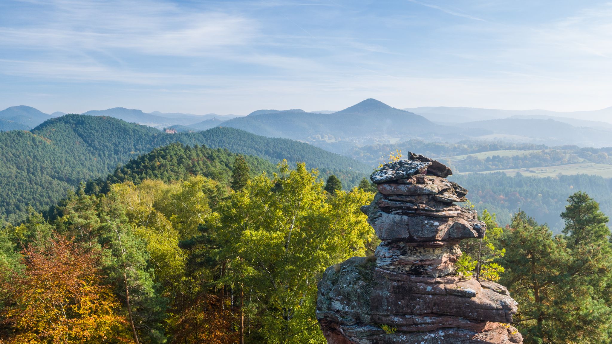
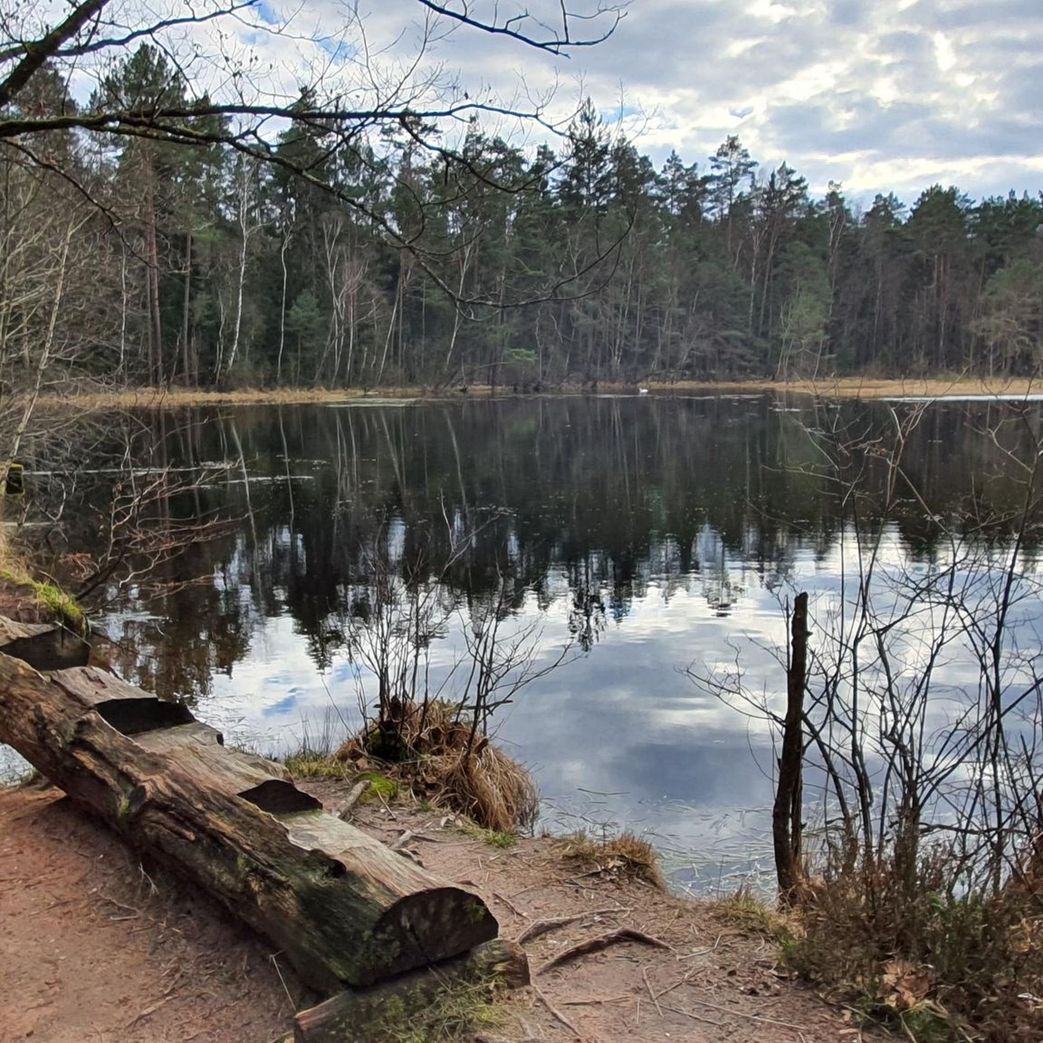
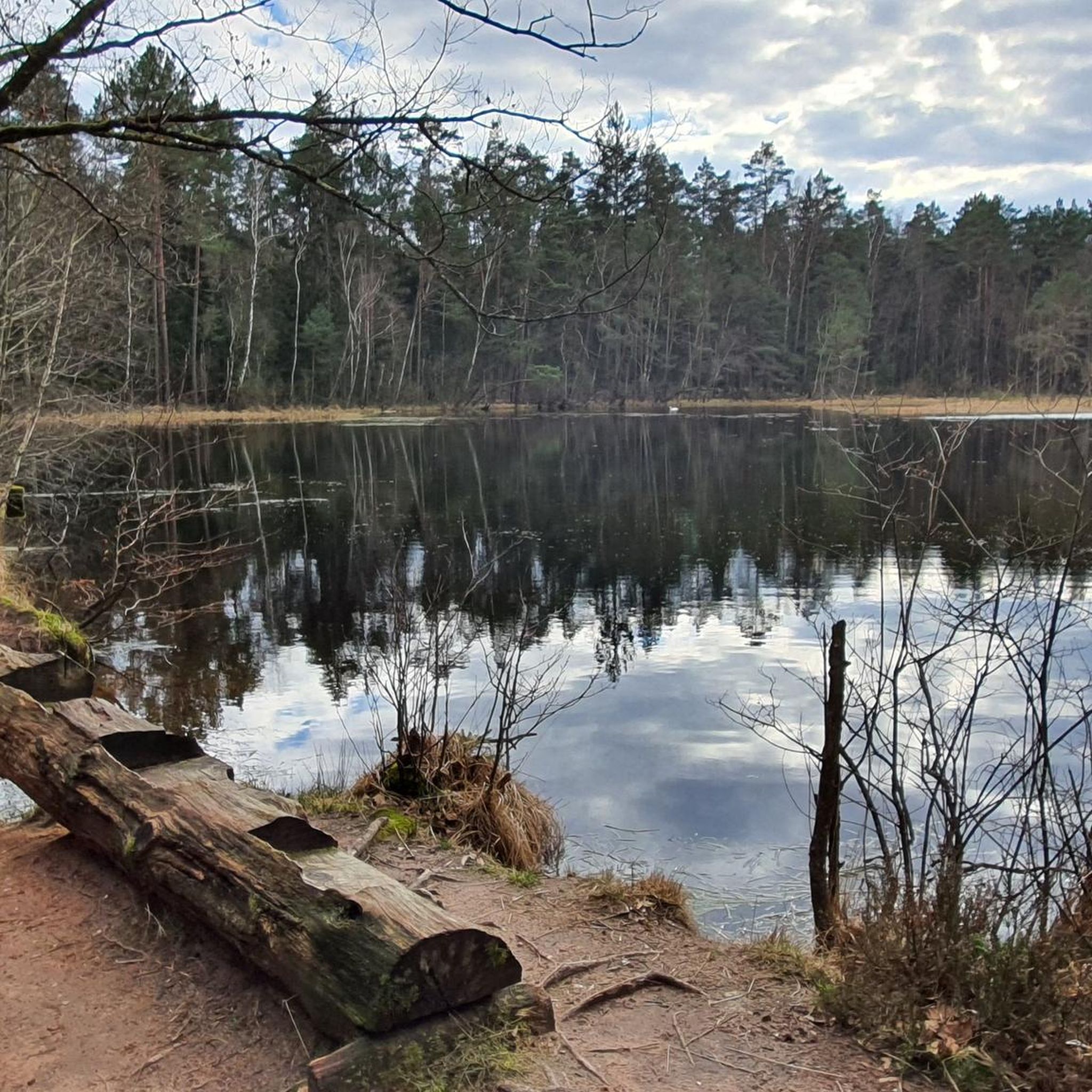
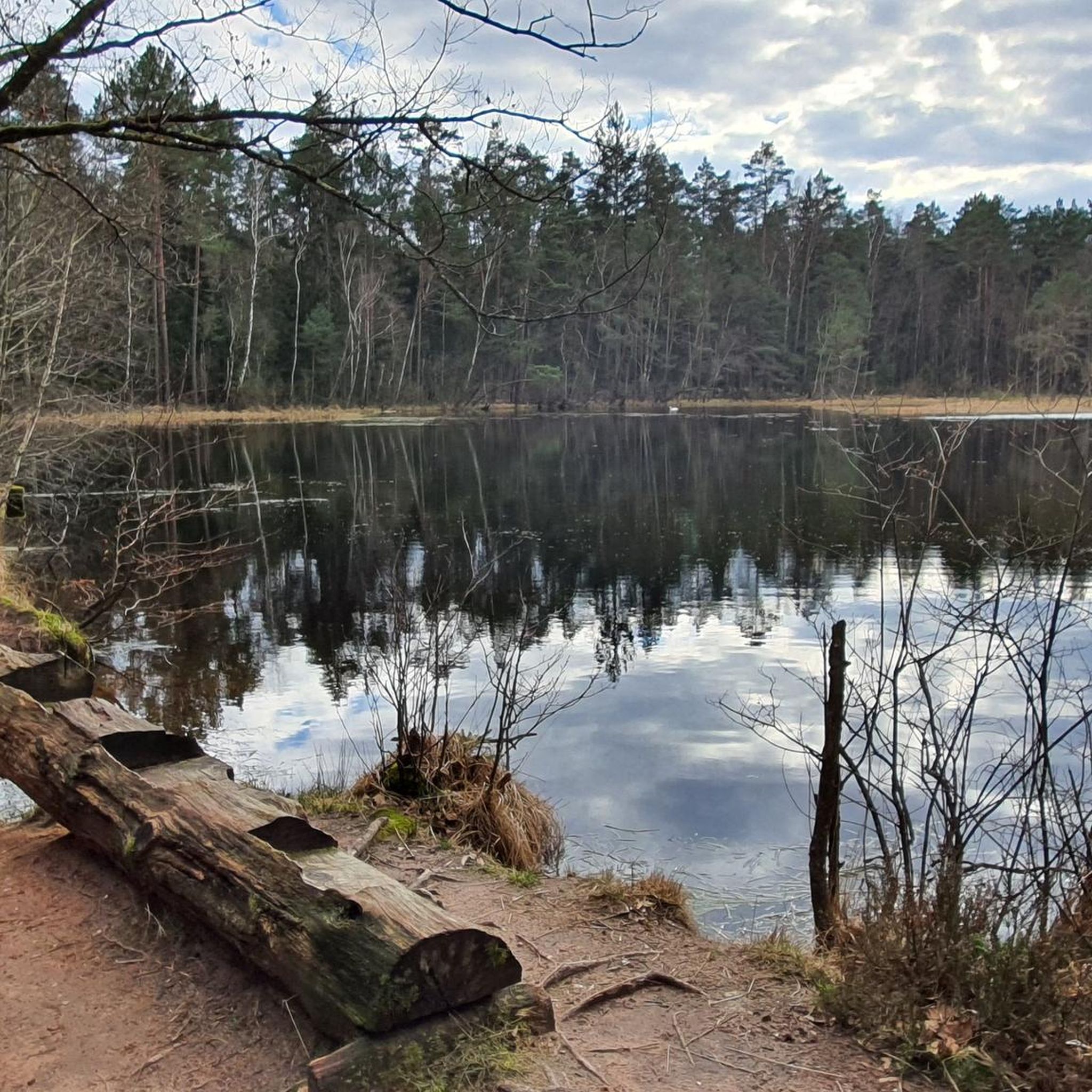

Other adventures around Ludwigswinkel

Tips from the Community

Very beautiful view with a resting place.
0
0

On the German side it is the Saarbach, from the French border the stream is called La Sauer.
0
0

An extraordinary place. A relic from times once thought to be bygone, but unfortunately, reality teaches us otherwise.
1
0

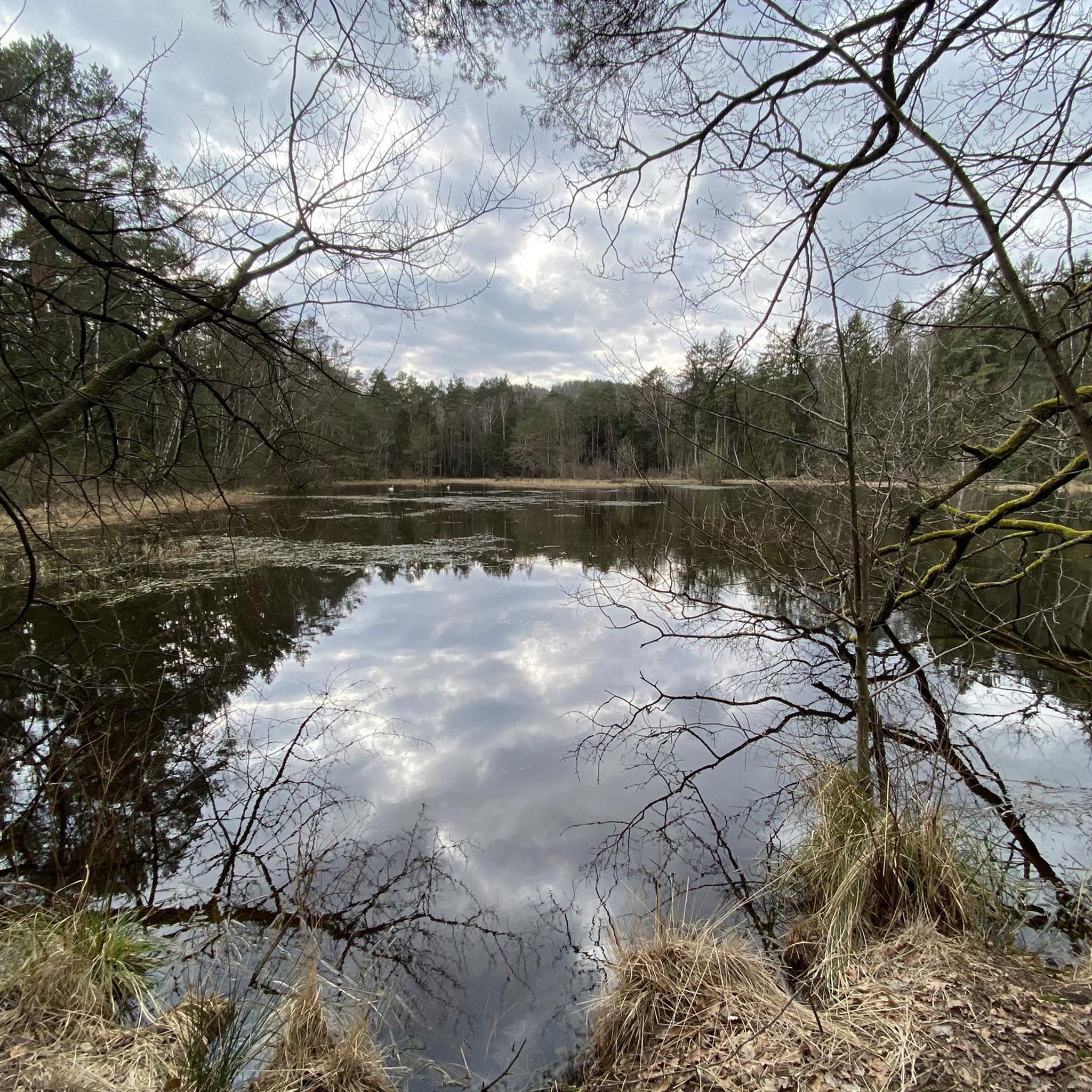
A beautiful place to listen to the frogs' concert, watch the dragonflies and occasionally spot a grass snake swimming by
0
0

I rarely recommend rest stop highlights, but this one is worth it!
1
0
Pretty mushroom-shaped rock with a bench and viewpoint (visibility depends on vegetation 😉)
1
0


perfect for a snack. If you ran properly, you are now over halfway.
0
0
Frequently Asked Questions
How many hiking trails are available in Ludwigswinkel?
Ludwigswinkel offers a wide array of hiking opportunities, with over 120 routes available. These trails cater to various skill levels, from easy strolls to more challenging expeditions through the diverse landscape of the Palatinate Forest.
Are there easy hiking trails suitable for beginners or families?
Yes, Ludwigswinkel is very family-friendly, with 66 easy routes available. Many trails are well-maintained and clearly marked, offering gentle paths through forests and alongside lakes. The region also features a unique Barfußpfad (Barefoot Path), which is a great sensory experience for all ages.
What kind of natural features or landmarks can I expect to see on the trails?
The trails in Ludwigswinkel showcase diverse natural beauty, including expansive forests, distinctive sandstone rock formations like the Rumberg-Felsen and Zigeunerfelsen, and serene lakes such as the Schöntalweiher and Rössels Pond. You can also find rewarding viewpoints like the Krappenfels or the Jüngstbergkanzel Viewpoint, offering panoramic views of the Palatinate Forest.
Are there any challenging hikes for experienced trekkers?
Absolutely. For those seeking a more strenuous experience, Ludwigswinkel offers 10 difficult routes. An example is the Stream landscape of the Sauer Valley – Rössels Pond loop from Ludwigswinkel, an 18.8 km path that highlights the aquatic features of the Sauer Valley and Rössels Pond, requiring good fitness and sure-footedness.
Are there circular hiking routes available?
Yes, many of the trails in Ludwigswinkel are circular, allowing you to start and end at the same point. A popular moderate option is the Lindelskopf Rock and Viewpoint – Kastenfels loop from Ludwigswinkel, which is 15.9 km long and ascends to the Lindelskopf, offering great views.
What do other hikers say about the trails in Ludwigswinkel?
The hiking routes in Ludwigswinkel are highly regarded by the komoot community, holding an average rating of 4.4 stars from over 1200 reviews. Hikers often praise the well-maintained paths, the variety of landscapes, and the peaceful, restorative environment of this climatic health resort.
Are there any trails that pass by historical or unique sites?
Yes, some trails offer glimpses into the region's past. For instance, the "Area One" (monument zone) – Rumberg Rock Arch loop from Ludwigswinkel takes you through what was once a military area, now a monument zone, and past the distinctive Rumberg-Felsen.
Can I find trails that lead to scenic viewpoints?
Many routes in Ludwigswinkel feature stunning viewpoints. The Lindelskopf Rock and Viewpoint – Kastenfels loop, for example, ascends to the Lindelskopf, providing expansive views of the Palatinate Forest. The Horbachkanzel also offers a magnificent panoramic view of the area.
Are there any huts or places to rest along the longer trails?
Yes, some longer routes include huts or resting places. The Rock bench at the sandstone pillar – Hohe List Hiking Lodge loop from Ludwigswinkel passes by the PWV-Hütte "Hohe List," a popular hut that was formerly a forester's house, offering a good spot for a break.
What is the best time of year to go hiking in Ludwigswinkel?
Ludwigswinkel offers enjoyable hiking experiences throughout the year. Spring brings blooming nature, summer provides lush green forests, autumn showcases vibrant fall colors, and even winter can be beautiful for crisp, quiet walks, though some trails might be more challenging with snow or ice. The region's designation as a climatic health resort ensures clean air and a restorative environment year-round.
Are there trails that feature water bodies like ponds or streams?
Yes, the landscape around Ludwigswinkel is dotted with idyllic lakes and water features. The Stream landscape of the Sauer Valley – Rössels Pond loop specifically highlights the aquatic features of the Sauer Valley and Rössels Pond. The Wasgau-Seen-Tour also features idyllic stretches along several ponds.
Most popular routes around Ludwigswinkel
Most popular attractions around Ludwigswinkel

Get inspired with the komoot mobile app


Explore more
Browse the best Hikes in other regions.
