The best hikes from bus stations in Halland
4.5
(2242)
9,781
hikers
141
hikes
Bus station hiking trails in Halland traverse a landscape characterized by diverse forests, tranquil lake areas, and scenic coastal paths. The region features extensive woodlands, including premier beech forests, alongside river valleys and hilly inland areas. Hikers can explore trails ranging from sandy shores to nature reserves with varied terrain. This makes Halland a destination with a wide array of natural features accessible via public transport.
Best bus station hiking trails in Halland
- The most popular bus station hiking route…
Last updated: June 25, 2026
4.7
(32)
202
hikers
8.29km
02:07
30m
30m
Moderate hike. Good fitness required. Easily-accessible paths. Suitable for all skill levels.
3
hikers
7.80km
02:07
110m
110m
Moderate hike. Good fitness required. Easily-accessible paths. Suitable for all skill levels.

Sign up for free
2
hikers
3.72km
00:59
40m
40m
Easy hike. Great for any fitness level. Easily-accessible paths. Suitable for all skill levels.
4.53km
01:12
40m
40m
Easy hike. Great for any fitness level. Easily-accessible paths. Suitable for all skill levels.
4.9
(26)
104
hikers
Moderate hike. Great for any fitness level. Mostly accessible paths. Sure-footedness required.
Get access to more routes and recommendations from other explorers.
Sign up for free
Already have an account?
Our route recommendations are based on thousands of hikes, rides, and runs completed by other people on komoot.
Start today with a free account
Your next adventure awaits.
Login or Signup
Popular around Halland

Hikes from bus stations in Västra Getteröns Naturreservat

Hikes from bus stations in Osbecks Bokskogars Naturreservat

Hikes from bus stations in Södra Sandsjöbackaskogen
Hikes from bus stations in Nyårsåsen

Hikes from bus stations in Balgö Naturreservat

Hikes from bus stations in Getteröns Naturreservat

Hikes from bus stations around Haverdals naturreservat

Hikes from bus stations in Bröndomeskogen
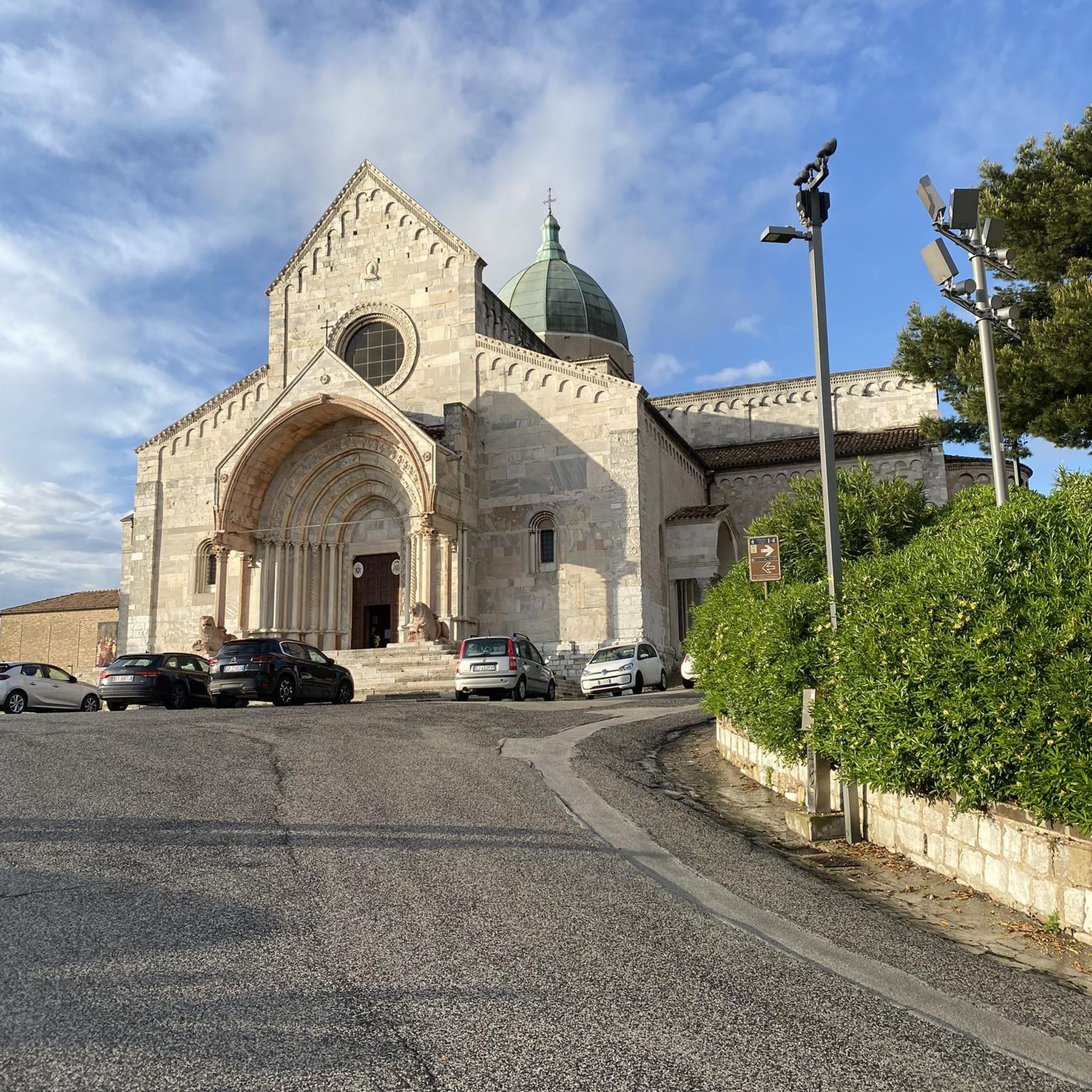
Hikes from bus stations in Ullasjöbäckens Naturreservat
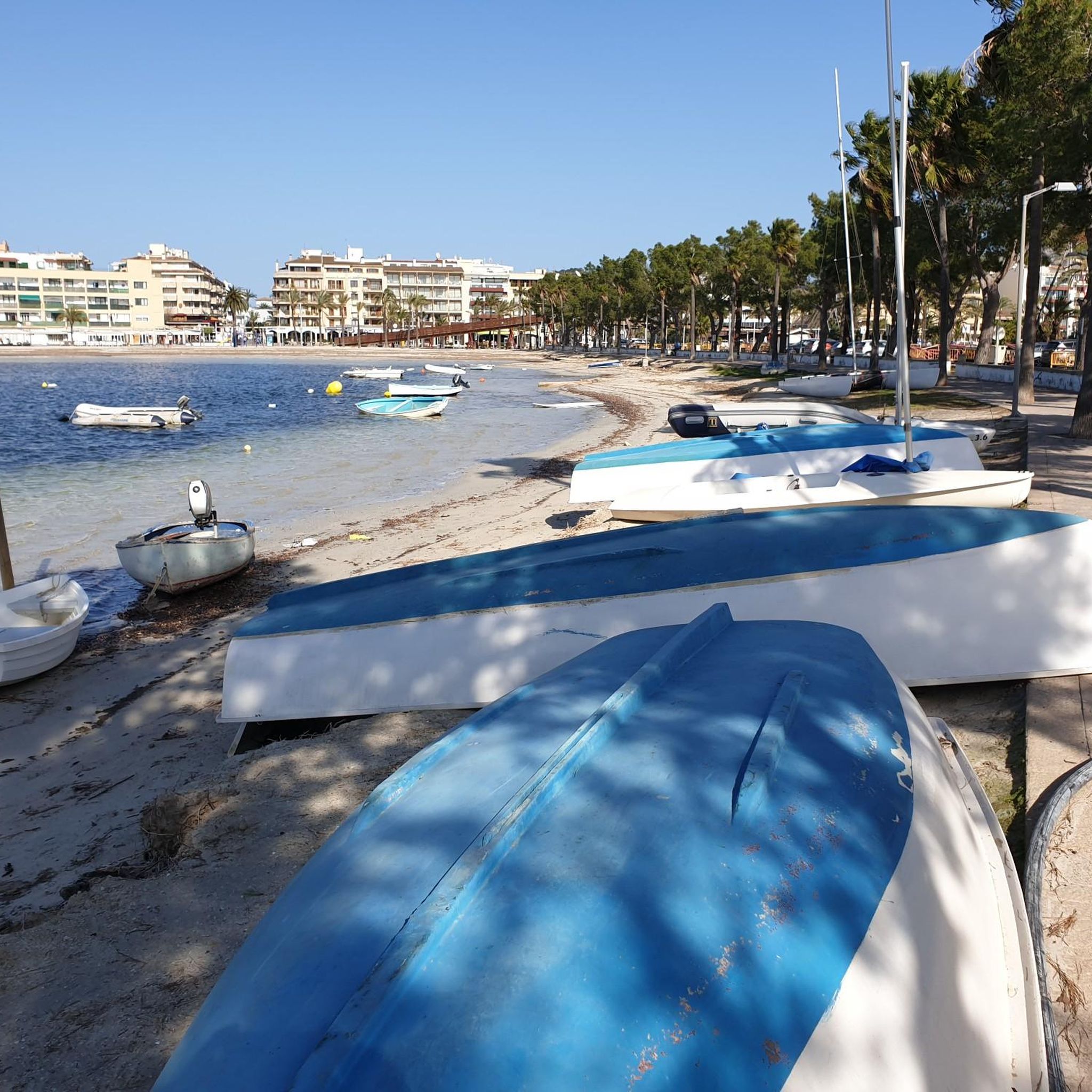
Hikes from bus stations around Kungsbackafjordens naturreservat
Other adventures in Halland


Tips from the Community

Very beautiful circular trail over hill and dale. In places also through marshy areas with wooden walkways. Good footwear is advisable.
0
0

The modern Oskarström was founded in 1885, when a hat factory was started here, and then in 1890 Oscar Björkman founded the jute factory, and the modern town was born. The town is built around the scenic beauty of the Nissan River and is surrounded by dense woodlands. Nearby on the edge of town you also have the Mickedala Nature Reserve and also the Furulundsbadet, a popular outdoor pool complex. The town is also well known for its mix of historic industrial brick buildings with classic Scandinavian wooden homes.
0
0
The Lilla Nissastigen Trail is a hiking trail in Oskarström. It takes you along a historic industrial journey involving the Scandinavian Jute Factory, and it goes as far back as 1890. The walk talks you around the beautiful Nissen River. There is also a downloadable PDF that you can get, and the information contained in the PDF mirrors the numbers placed on poles along the trail.
0
0

This small side road leads to Lake Stora Iglakärr, through a forest dotted with a few houses. It has a quiet atmosphere until you reach the lake and the trail that circles it.
0
0
Lake Stora Iglakärr is surrounded by a beautiful forest criss-crossed by numerous paths. There are plenty of opportunities for walks here. You can stroll from lake to lake in a peaceful, green setting.
0
0
Stora Iglakärr is a beautiful lake formed by the River Rolfsån. It is seven metres deep and covers an area of 0.17 km². The surrounding vegetation is reflected in its waters, creating a magnificent shimmering effect.
0
0

A varied trail that alternates between rocky sections and softer forest ground. Expect changing footing throughout—sometimes smooth, sometimes a bit technical, which keeps things interesting along the way.
0
0
A small, quiet forest lake tucked into the old woodland. Surrounded by dense trees and often perfectly still, it adds to the wild, untouched feel of the reserve.
0
0
Frequently Asked Questions
How many bus station hiking trails are available in Halland?
Halland offers a wide selection of hiking trails accessible directly from bus stations. There are over 140 routes to choose from, catering to various skill levels and interests.
Are there easy bus station hikes suitable for beginners or families in Halland?
Yes, Halland has many easy routes perfect for beginners or families. Over 75 of the bus station hikes are rated as easy. For a scenic and accessible option, consider the Varberg Bathhouse – Varberg Fortress loop from Varberg, which is an easy 4.8 km coastal walk.
Can I find bus station hikes that feature waterfalls in Halland?
Absolutely! Halland is home to several beautiful waterfalls. You can explore routes like the Fries Mill Site and Waterfall – Danska Fall Waterfalls loop, which takes you to the impressive Danska Fall Waterfalls. Another option is the Lagan River at Knäred – Kvarnfallet Waterfall, Knäred loop, which includes the Kvarnfallet Waterfall.
Are there any circular bus station walks in Halland?
Many of the bus station hikes in Halland are designed as circular routes, allowing you to start and end at the same point without needing to arrange return transport. Examples include the Fries Mill Site and Waterfall – Danska Fall Waterfalls loop and the Haverdal Nature Reserve Beach – Twisted Trees loop.
What kind of natural landscapes can I expect on bus station hikes in Halland?
Halland's bus station hikes offer a diverse range of landscapes. You'll find extensive forests, including premier beech forests like those in Åkulla Bokskogar, tranquil lake areas, picturesque river valleys such as the Lagan Valley, and scenic coastal trails along sandy beaches and cliffs. Nature reserves like Haverdal's and Biskopstorp also provide varied terrain.
Are there any bus station hikes that offer views of the coast or fjords?
Yes, Halland's coastline provides stunning views. The View of the Fjord – Särö Västerskog Nature Reserve loop offers beautiful fjord vistas. You can also find coastal walks near areas like Tylösand Beach or the Varberg Bathhouse – Varberg Fortress loop.
What do other hikers enjoy most about bus station trails in Halland?
The komoot community highly rates the bus station hikes in Halland, with an average score of 4.5 out of 5 stars from over 2,200 reviews. Hikers often praise the region's diverse and well-maintained trails, the accessibility via public transport, and the beautiful natural features like waterfalls, forests, and coastal views.
Are there any historical landmarks or attractions accessible from bus station hikes?
Yes, several bus station hikes lead to or pass by interesting landmarks. For example, the Varberg Bathhouse – Varberg Fortress loop takes you past the historic Varberg Fortress. You can also find routes that explore areas with ancient ruins, such as Virsehatt, which holds Iron Age castle ruins.
What is the best time of year to go hiking from bus stations in Halland?
Halland offers great hiking opportunities year-round. Spring brings blooming beech forests, summer provides pleasant weather for coastal walks, and autumn showcases vibrant fall foliage. Even winter can be beautiful for crisp walks, especially in the forests, though some trails might be less accessible depending on snow conditions.
Are there any long-distance hiking options that can be accessed from bus stations in Halland?
While this guide focuses on individual routes, Halland is home to the extensive Halland Trail (Hallandsleden), a long-distance path stretching 435 kilometers. Many stages of this trail are accessible via public transport, allowing you to tackle sections of it from various bus stations. It connects to other regional trails like the Skåne Trail and Bohus Trail.
Are there bus station hikes that go through nature reserves?
Yes, Halland features several nature reserves with trails accessible from bus stations. The Haverdal Nature Reserve Beach – Twisted Trees loop explores Haverdal's Nature Reserve, known for its pine forests and the Lynga sand dune. Another option is the View of the Fjord – Särö Västerskog Nature Reserve loop, which takes you through the Särö Västerskog Nature Reserve.
Most popular routes in Halland
Most popular attractions in Halland

Get inspired with the komoot mobile app


Didn’t find what you were looking for?
Check out more Hikes throughout Halland below and find the perfect route in your destination.
Explore more
Browse the best Hikes in other regions.
