The best hikes from bus stations in Västernorrland
4.6
(2332)
10,105
hikers
53
hikes
Bus station hiking trails in Västernorrland traverse a diverse landscape characterized by coastal mountains, dense forests, and unique geological formations. The region, particularly the High Coast, features significant elevation changes and rugged cliffs shaped by land uplift. Hikers can explore ancient forests, serene lakes, and dramatic rock formations, offering varied terrain for outdoor activities.
Best bus station hiking trails in Västernorrland
- The most popular bus station hiking route is Vildmarksleden, a 23.5 miles (37.8 km) trail that takes about…
Last updated: October 7, 2026
4.7
(3)
24
hikers
12.9km
03:38
260m
270m
Moderate hike. Good fitness required. Easily-accessible paths. Suitable for all skill levels.
37.8km
10:38
770m
770m
Hard hike. Very good fitness required. Easily-accessible paths. Suitable for all skill levels.

5.0
(1)
2
hikers
4.71km
01:12
10m
10m
Easy hike. Great for any fitness level. Easily-accessible paths. Suitable for all skill levels.
4.7
(54)
178
hikers
Easy hike. Great for any fitness level. Easily-accessible paths. Suitable for all skill levels.
4.6
(9)
77
hikers
Hard hike. Very good fitness required. Mostly accessible paths. Sure-footedness required.
Get access to more routes and recommendations from other explorers.
Already have an account?
Our route recommendations are based on thousands of hikes, rides, and runs completed by other people on komoot.
Start today with a free account
Your next adventure awaits.
Popular around Västernorrland

Hikes from bus stations in Sidsjö
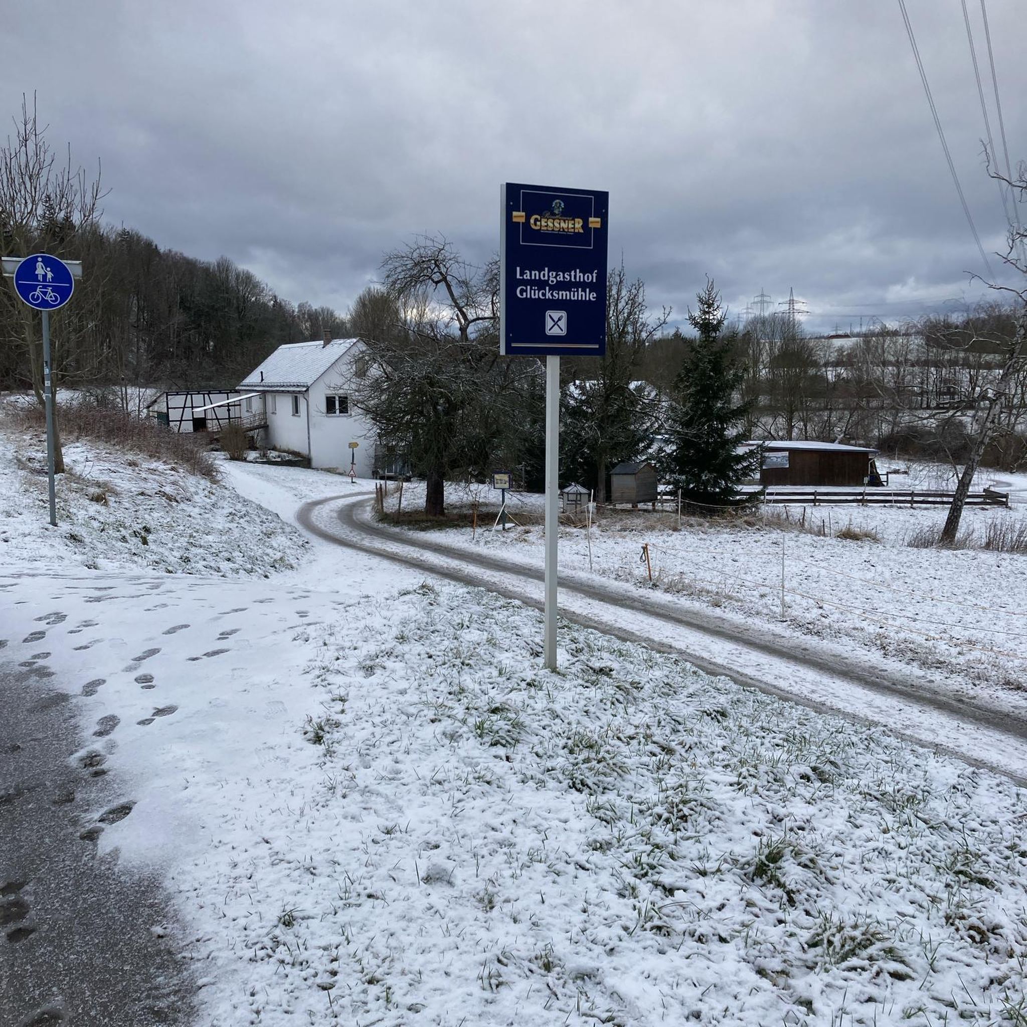
Hikes from bus stations around Balesudden

Hikes from bus stations in Södra Bergets Friluftsområde

Hikes from bus stations in Skuleskogen

Hikes from bus stations around Klingstatjärnen
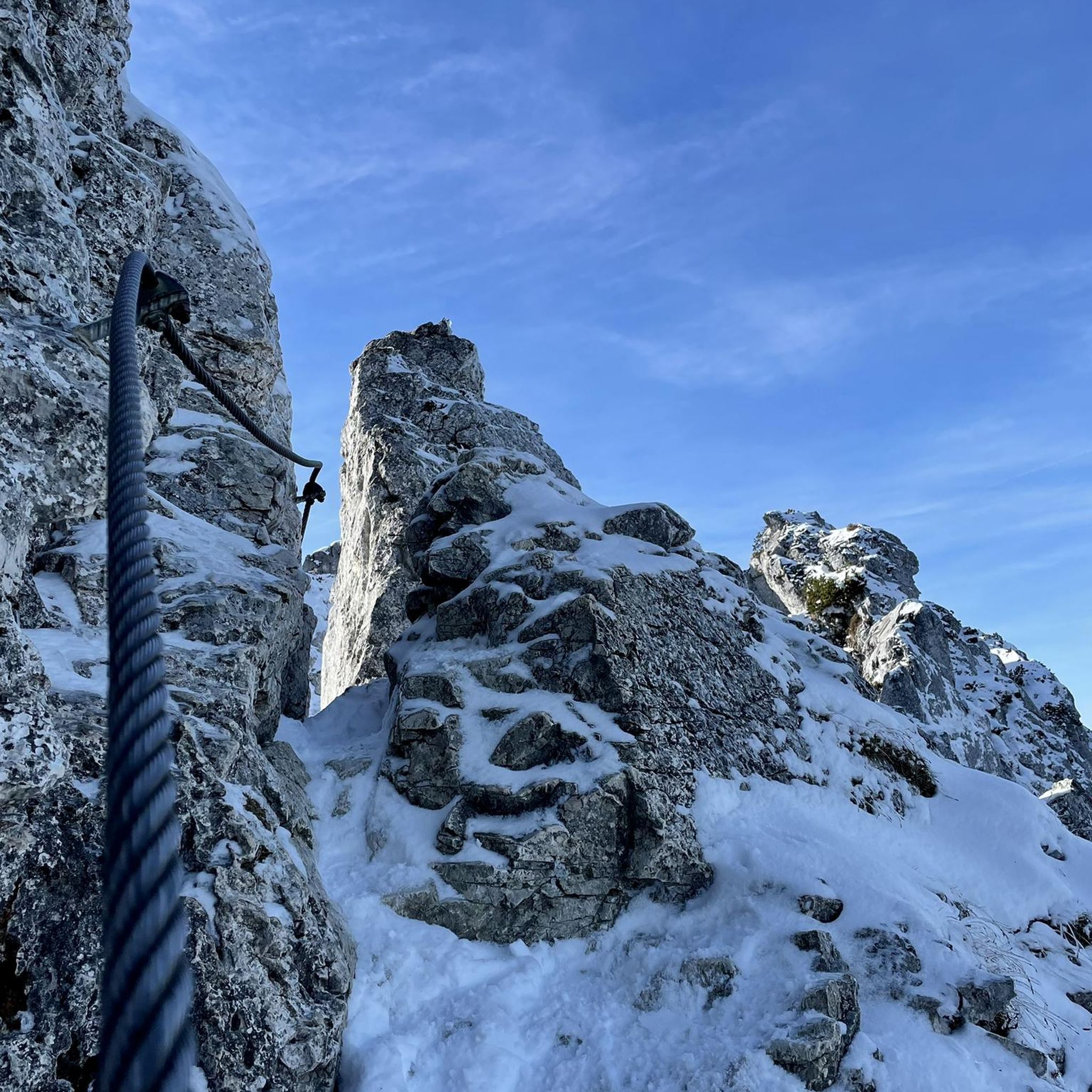
Hikes from bus stations around Lövsjön
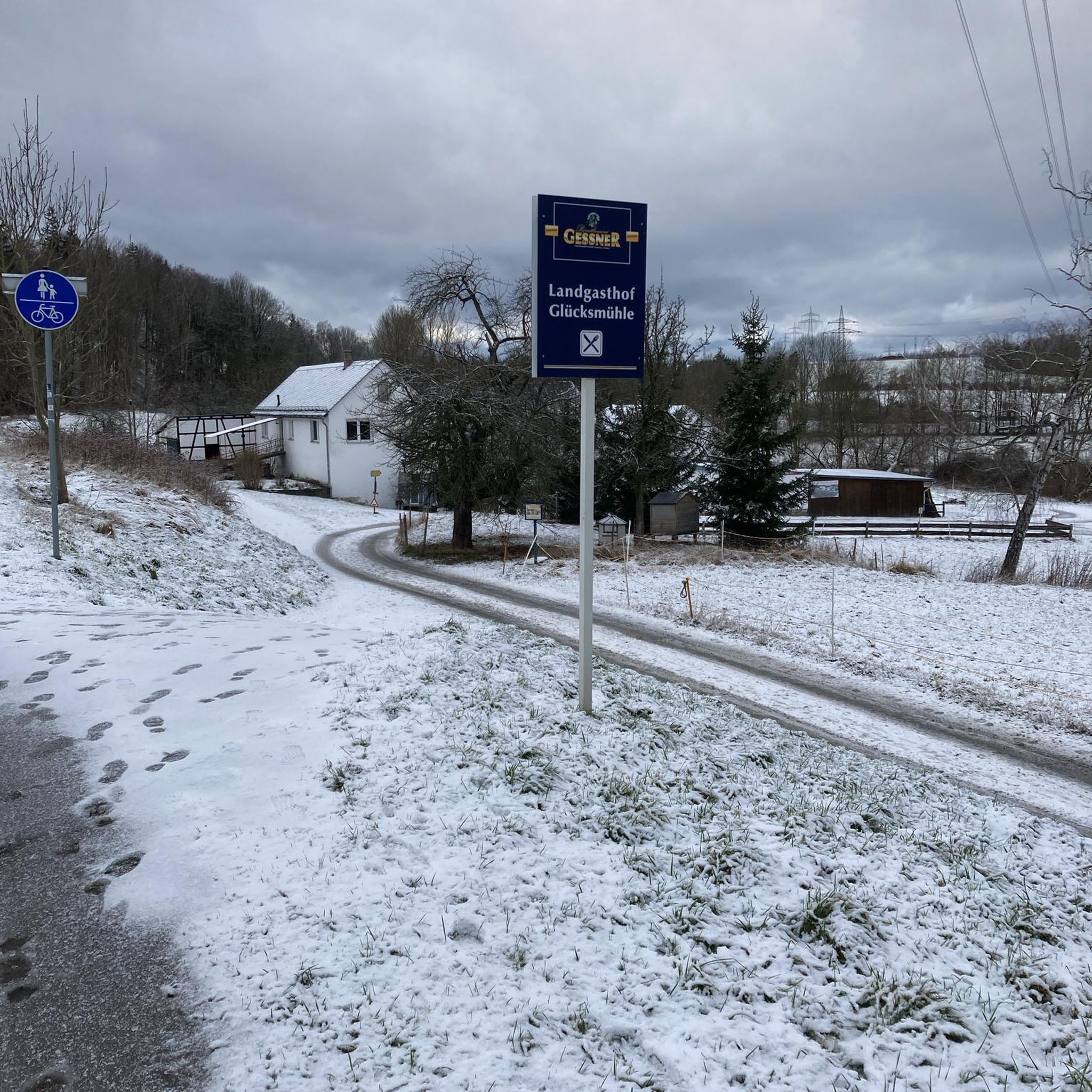
Hikes from bus stations around Trysunda
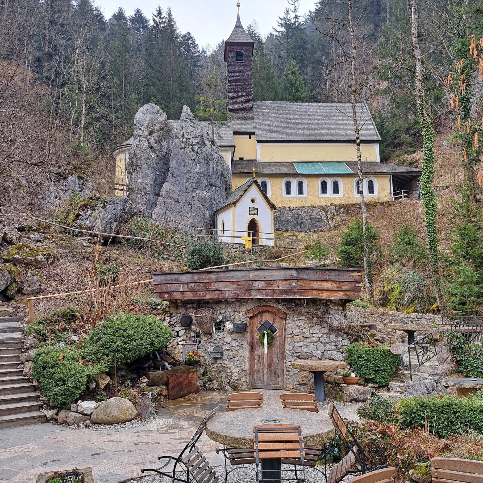
Hikes from bus stations in Smitingen/Härnöklubb

Hikes from bus stations around Själevadsfjärden

Hikes from bus stations around Backsjösjön


Tips from the Community

The Sörberge Electric Light Track in Timrå is an illuminated 2.4-km looped exercise trail. In winter it is used for cross-country ski training, but it is popular for running and walking in the summer.
0
0

We were out and about in coastal fog - very picturesque
1
0

Fantastic view from the summit. Barbecue area and overnight accommodation. Cooking area in the hut. Restrooms, and a wood storage facility next door.
0
0

Nice cabin but cold in low temperatures as the wood burner has been removed.
2
1

Here we go along this beautiful lake. You're sure to find a place or two to rest.
0
0

Start at the back of the car park for the music venue, look for orange paint on posts and trees and blue high coast trail sign posts. Beware start of route on the app as it takes you through private property
0
0

Good camp spot with tables and toilet. The lake 300 meters to the south is a good water source.
1
0
Frequently Asked Questions
How many bus station hiking trails are available in Västernorrland?
There are over 50 hiking routes in Västernorrland that are easily accessible from bus stations. These trails offer a range of difficulties, with 18 easy, 29 moderate, and 7 difficult options, ensuring something for every hiker.
What is the best time of year to hike from bus stations in Västernorrland?
The best time for hiking in Västernorrland, especially from bus-accessible points, is during the summer months, from June to August. This period offers warm weather and long daylight hours, perfect for exploring the region's diverse landscapes. Autumn also provides stunning scenery with vibrant foliage.
Are there any family-friendly hiking trails accessible by bus in Västernorrland?
Yes, Västernorrland offers several family-friendly routes accessible by bus. An excellent option is the Norrfällsviken Coastline – Viewing Platform at Bjuröklubb loop from Rammbergets naturreservat, which is an easy 5.2 km trail perfect for a leisurely family outing with scenic coastal views.
Can I find circular hiking routes that start and end at a bus stop?
Absolutely. Many bus-accessible trails in Västernorrland are designed as loops, allowing you to start and finish your hike at the same point. For example, the easy View of the High Coast Bridge loop from Höga Kusten Bridge offers stunning vistas and brings you back to your starting point.
What kind of natural attractions can I expect to see along these bus-accessible trails?
Västernorrland's bus-accessible trails lead to a variety of stunning natural attractions. You can explore dramatic geological formations like the Slåttdalsskrevan Gorge, discover serene coastal areas such as Kälaviken, or encounter unique rock formations like the Stantadalskrevant Stone Fields.
Are there any challenging long-distance hikes reachable by bus?
For those seeking a challenge, the Vildmarksleden is a difficult 37.8 km trail that traverses varied wilderness, including forests and open landscapes with significant elevation gain. This route offers a true long-distance hiking experience accessible via public transport.
Which bus-accessible trails offer the best viewpoints?
Many trails provide spectacular viewpoints. The View from Skuleberget – Stone Plateau Viewpoint loop from Skuleberget is a challenging but rewarding option, leading to panoramic views from Skuleberget. Another great choice is the Valkallen Summit and Cabin – Valkallen Staircase loop from Höga Kusten Bridge, which includes the Valkallen Summit and Cabin offering expansive vistas.
What do other hikers say about the bus station trails in Västernorrland?
The komoot community highly rates the bus station hiking trails in Västernorrland, with an average score of 4.6 stars from over 1,800 ratings. Hikers frequently praise the stunning natural beauty of the High Coast, the well-maintained paths, and the convenience of accessing such diverse landscapes directly from public transport.
Are there any huts or shelters along the bus-accessible routes for longer hikes?
Yes, for longer excursions, some routes offer access to huts or shelters. For instance, the area around Skuleskogen National Park, which is accessible by bus, features facilities like the Tärnättvattnet Hut, providing a place to rest or stay overnight for multi-day adventures.
Are there any trails that lead to significant mountain peaks or summits?
Yes, you can reach several notable peaks via bus-accessible trails. The Valkallen Summit and Cabin is a prominent destination, offering incredible views. Additionally, trails around Skuleberget, like the Kalottstigen Trail on Skuleberget, lead to impressive viewpoints and summits.
Most popular routes in Västernorrland
Most popular attractions in Västernorrland

Get inspired with the komoot mobile app


Didn’t find what you were looking for?
Check out more Hikes throughout Västernorrland below and find the perfect route in your destination.
Explore more
Browse the best Hikes in other regions.
