The best hikes from bus stations in Bezirk Linz-Land
4.5
(2096)
13,629
hikers
651
hikes
Bus station hiking trails in Bezirk Linz-Land offer access to a diverse landscape in Upper Austria, characterized by the Danube valley to the north and the rolling hills of the Alpine foothills to the south. The region features a mix of terrains, including lush forests, scenic valleys, and the Kürnberg hills, which represent the last foothill of the Bohemian Massif. Hikers can explore varied natural features, from dense woodlands to riverine paths along the Danube.
Best bus station hiking trails…
Last updated: July 11, 2026
4.9
(36)
209
hikers
7.09km
02:05
200m
200m
Moderate hike. Good fitness required. Easily-accessible paths. Suitable for all skill levels.
4.5
(81)
454
hikers
12.8km
03:56
340m
340m
Moderate hike. Good fitness required. Mostly accessible paths. Sure-footedness required.

Sign up for free
4.8
(28)
165
hikers
13.1km
04:00
330m
330m
Moderate hike. Good fitness required. Mostly accessible paths. Sure-footedness required.
4.7
(44)
157
hikers
8.14km
02:33
220m
220m
Moderate hike. Good fitness required. Mostly accessible paths. Sure-footedness required.
4.8
(12)
81
hikers
Easy hike. Great for any fitness level. Easily-accessible paths. Suitable for all skill levels.
Get access to more routes and recommendations from other explorers.
Sign up for free
Already have an account?
Our route recommendations are based on thousands of hikes, rides, and runs completed by other people on komoot.
Start today with a free account
Your next adventure awaits.
Login or Signup
Popular around Bezirk Linz-Land

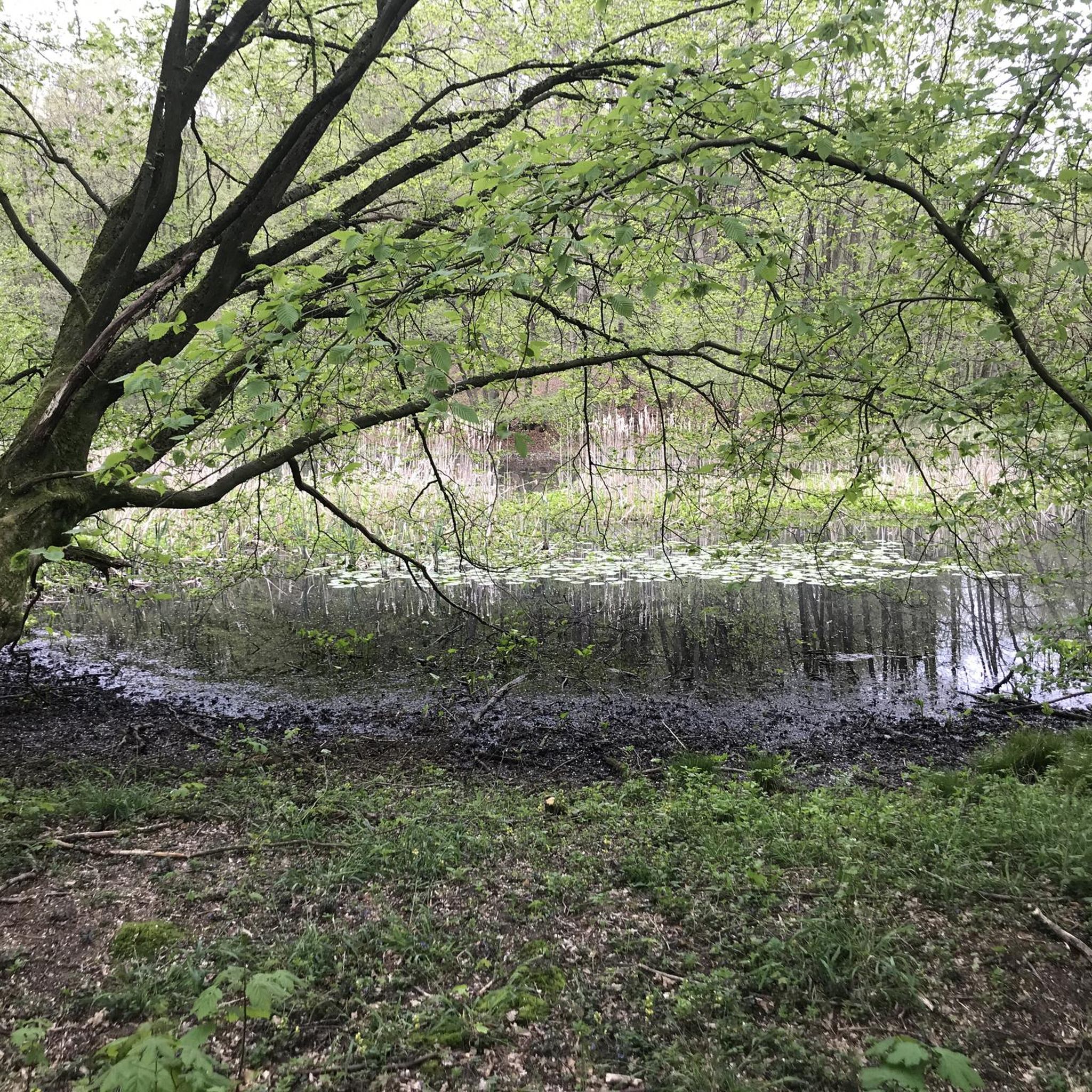
Hikes from bus stations around Wilhering
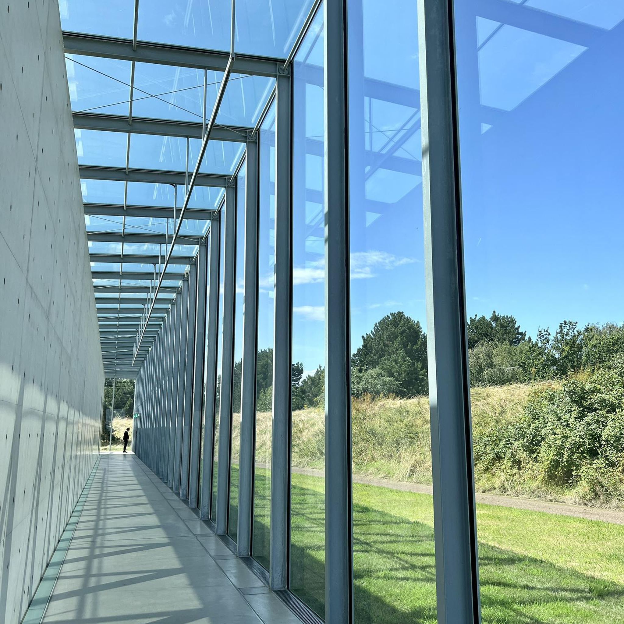
Hikes from bus stations around Traun
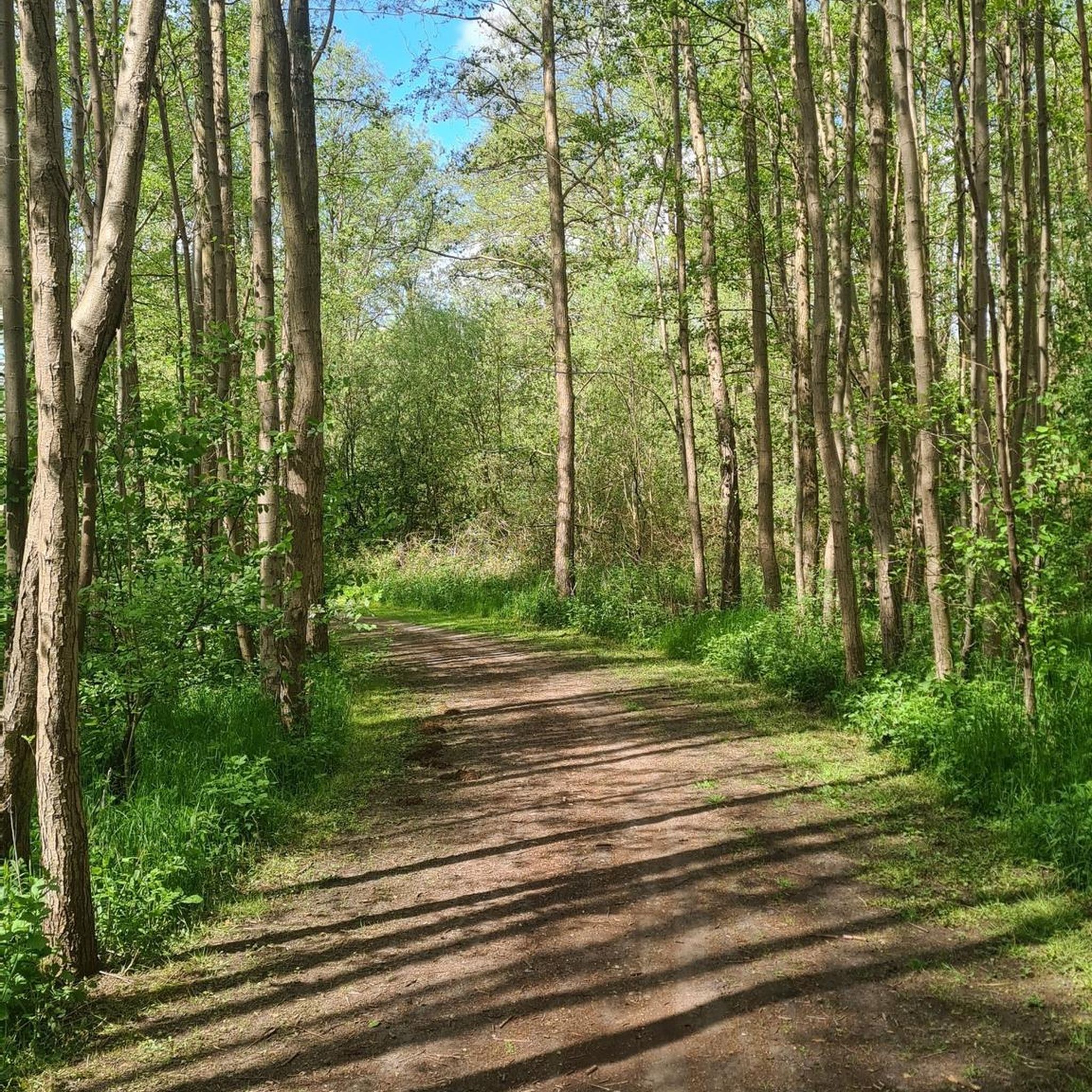
Hikes from bus stations around Sankt Florian
Hikes from bus stations around Kronstorf
Hikes from bus stations around Ansfelden

Hikes from bus stations around Neuhofen an der Krems

Hikes from bus stations around Hörsching

Hikes from bus stations around Asten
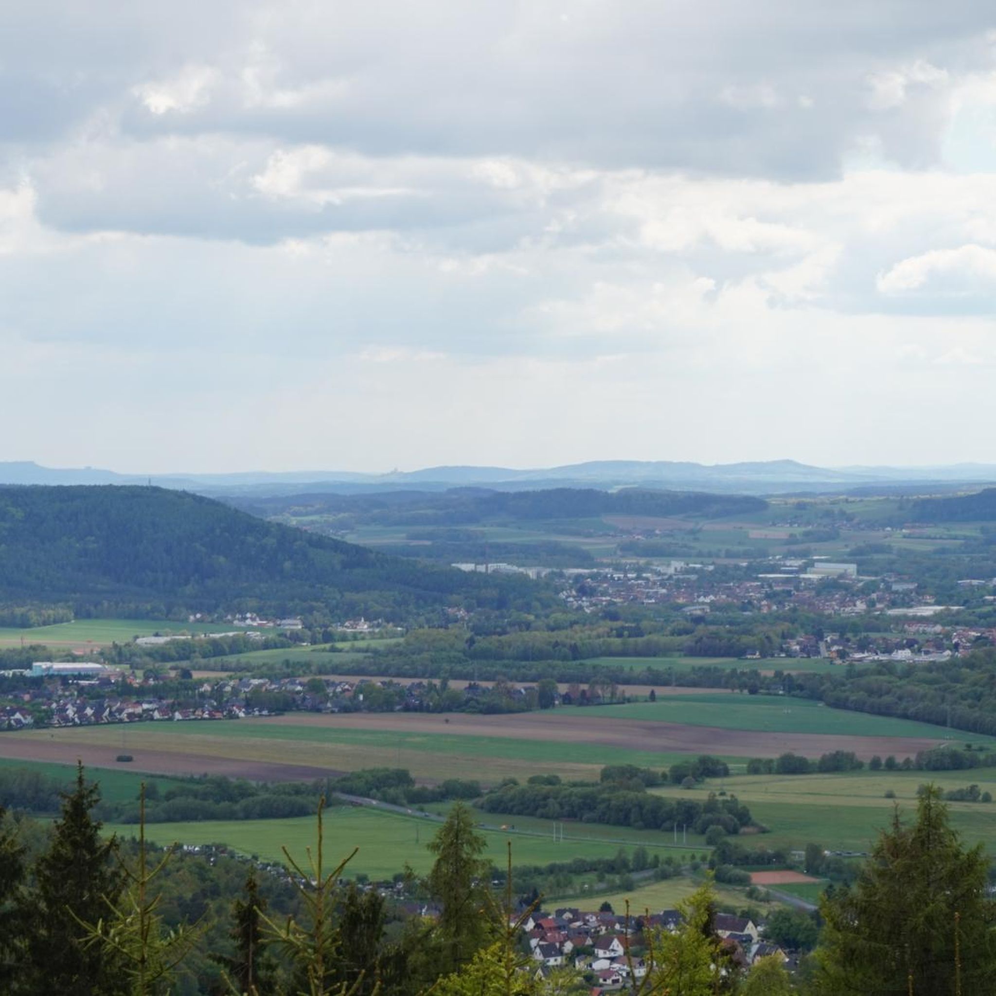
Hikes from bus stations around Pasching

Hikes from bus stations around Sankt Marien
Other adventures in Bezirk Linz-Land


Tips from the Community

From current world politics, I would have a few candidates who would have to run lap after lap for world peace. Some would continue like that until the end of their lives, if not even beyond death..
0
0
Large covered rest area
0
0
Hiking trail above the Danube
1
0

Flowing trail with a magnificent view of the Danube Valley - Top!
1
0

Not far from the summit cross, right next to the path, colourfully decorated....
0
0
Modern summit cross in a beautiful clearing.
0
0
Cozy, covered rest area for all weather conditions.
0
0

The pilgrim's cross is easily accessible from the Kürnbergerwald parking lot. Today the path was a bit slippery in places due to the frozen and melted snow – hiking poles are advisable at the moment. But the panorama of the winter landscape is simply magnificent! 🤩 Definitely worth a hike.
0
0
Frequently Asked Questions
How many bus-accessible hiking trails are available in Bezirk Linz-Land?
There are over 670 hiking trails in Bezirk Linz-Land that are accessible by bus, offering a wide variety of options for all skill levels. This includes more than 400 easy routes and 260 moderate trails.
Are there any easy, short hikes accessible from a bus station in Bezirk Linz-Land?
Yes, for an easy and relatively short option, consider the Barbara Chapel (Freinberg, Linz) – Donaublick Viewpoint loop from Leonding. This route is just over 5 km long and features minimal elevation gain, making it suitable for a relaxed outing.
What kind of terrain and natural features can I expect on bus-accessible hikes in Bezirk Linz-Land?
The region offers diverse landscapes, from the Danube valley to the rolling hills of the Alpine foothills. You'll find lush forests, scenic valleys, and prominent features like the Kürnberg hills. Many trails, such as those along the Prinzensteig, offer pure hiking pleasure on narrow forest paths with great views of the Danube.
Are there any bus-accessible circular hiking routes in Bezirk Linz-Land?
Many of the trails in Bezirk Linz-Land are designed as circular routes, allowing you to start and end at the same bus station. An example is the Prinzenweg viewing point – Prinzensteig loop from Puchenau, which offers a scenic round trip.
What are some notable landmarks or viewpoints accessible via bus-friendly hikes?
You can discover several interesting points. The Pilgrims' Cross on the Kürnberg summit offers panoramic views. Trails like the Prinzensteig – Prinzenweg viewing point loop from Ottensheim lead to excellent viewpoints overlooking the Danube valley. You might also encounter historical sites like St. Florian Abbey or the town of Enns.
Can I find dog-friendly hiking trails accessible by bus in Bezirk Linz-Land?
Yes, many trails in Bezirk Linz-Land are suitable for hiking with dogs, provided they are kept on a leash where required. The diverse natural environment, including forests and open paths, offers plenty of space for you and your canine companion to enjoy. Always check local regulations for specific areas.
Are there family-friendly bus-accessible hikes in the region?
Absolutely. With over 400 easy routes, many are perfect for families. These trails often feature gentle gradients and shorter distances. Look for routes that pass by attractions like the Rutzinger Lake or offer playgrounds, providing extra engagement for children.
What is the best time of year to go hiking from bus stations in Bezirk Linz-Land?
The best time for hiking is typically from late Spring to early Autumn, when the weather is mild and the landscapes are vibrant. However, winter also offers unique snow hiking opportunities for those seeking a different experience.
Are there any challenging bus-accessible hikes for experienced hikers?
While the majority of bus-accessible routes are easy to moderate, there are a few more challenging options. The region offers 6 difficult trails, which typically feature greater elevation changes and longer distances, providing a good workout for experienced hikers.
What do other hikers say about the bus-accessible trails in Bezirk Linz-Land?
The komoot community highly rates the hiking experience in Bezirk Linz-Land, with an average score of 4.5 stars. Hikers often praise the well-maintained paths, the scenic views, and the convenience of accessing diverse routes directly from bus stations.
Are there any waterfalls or lakes accessible on bus-friendly hikes?
Yes, you can find natural water features. The Traun Waterfall is a notable natural monument in the region. Additionally, the Rutzinger Lake offers a pleasant stop or destination on some routes.
Most popular routes in Bezirk Linz-Land
Most popular attractions in Bezirk Linz-Land

Get inspired with the komoot mobile app


Didn’t find what you were looking for?
Check out more Hikes throughout Bezirk Linz-Land below and find the perfect route in your destination.
Explore more
Browse the best Hikes in other regions.
