The best hikes from bus stations in Murtal
4.5
(3330)
26,021
hikers
490
hikes
Bus station hiking trails in Murtal offer access to a diverse landscape in Styria, Austria. The region is characterized by majestic mountains, including peaks over 2,000 meters like the Zirbitzkogel, and features parts of the Rottenmann and Wölz Tauern Mountains. Hikers can explore varied terrain, from deep spruce, larch, and Swiss stone pine forests to expansive alpine meadows, high-alpine plateaus, and serene mountain lakes such as the Lindersee. The Mur Valley also provides more gentle trails along the Mur River.
Best bus station hiking trails in Murtal
- The most popular bus station hiking route is Auf den Geierkogel ab Hohentauern, a 9.0 miles (14.4 km) trail that takes 5 hours 53 minutes to complete. This difficult route features significant elevation gain through mountainous terrain.
- Another top favourite among local hikers is Rund um die Ruine Eppenstein, a moderate 6.7 miles (10.8 km) path. This trail explores the area around the Eppenstein ruins, offering a mix of historical interest and natural scenery.
- Local hikers also love the Rund um den AuErlebnisweg in St. Peter ob Judenburg, a 5.1 miles (8.2 km) trail leading through varied landscapes, often completed in about 2 hours 11 minutes.
- Hiking in Murtal is defined by high alpine plateaus, dense forests, and crystalline mountain lakes, offering a wide range of experiences. The network of bus station hiking trails provides options for various ability levels, from easy walks to challenging mountain ascents.
- The routes in Murtal are highly rated by the komoot community with an average score of 4.5 stars from more than 3,200 reviews. More than 25,000 hikers have used komoot to explore Murtal's varied terrain.
Last updated: June 28, 2026
4.6
(16)
75
hikers
14.4km
05:53
910m
910m
Hard hike. Very good fitness required. Mostly accessible paths. Sure-footedness required.
4.3
(8)
40
hikers
10.8km
03:02
220m
220m
Moderate hike. Good fitness required. Easily-accessible paths. Suitable for all skill levels.

Sign up for free
5.0
(3)
20
hikers
8.25km
02:11
80m
80m
Moderate hike. Good fitness required. Easily-accessible paths. Suitable for all skill levels.
4.7
(82)
480
hikers
12.4km
03:56
520m
520m
Moderate hike. Good fitness required. Mostly accessible paths. Sure-footedness required.
4.7
(45)
189
hikers
6.00km
01:41
120m
120m
Easy hike. Great for any fitness level. Easily-accessible paths. Suitable for all skill levels.
Get access to more routes and recommendations from other explorers.
Sign up for free
Already have an account?
Our route recommendations are based on thousands of hikes, rides, and runs completed by other people on komoot.
Start today with a free account
Your next adventure awaits.
Login or Signup
Popular around Murtal
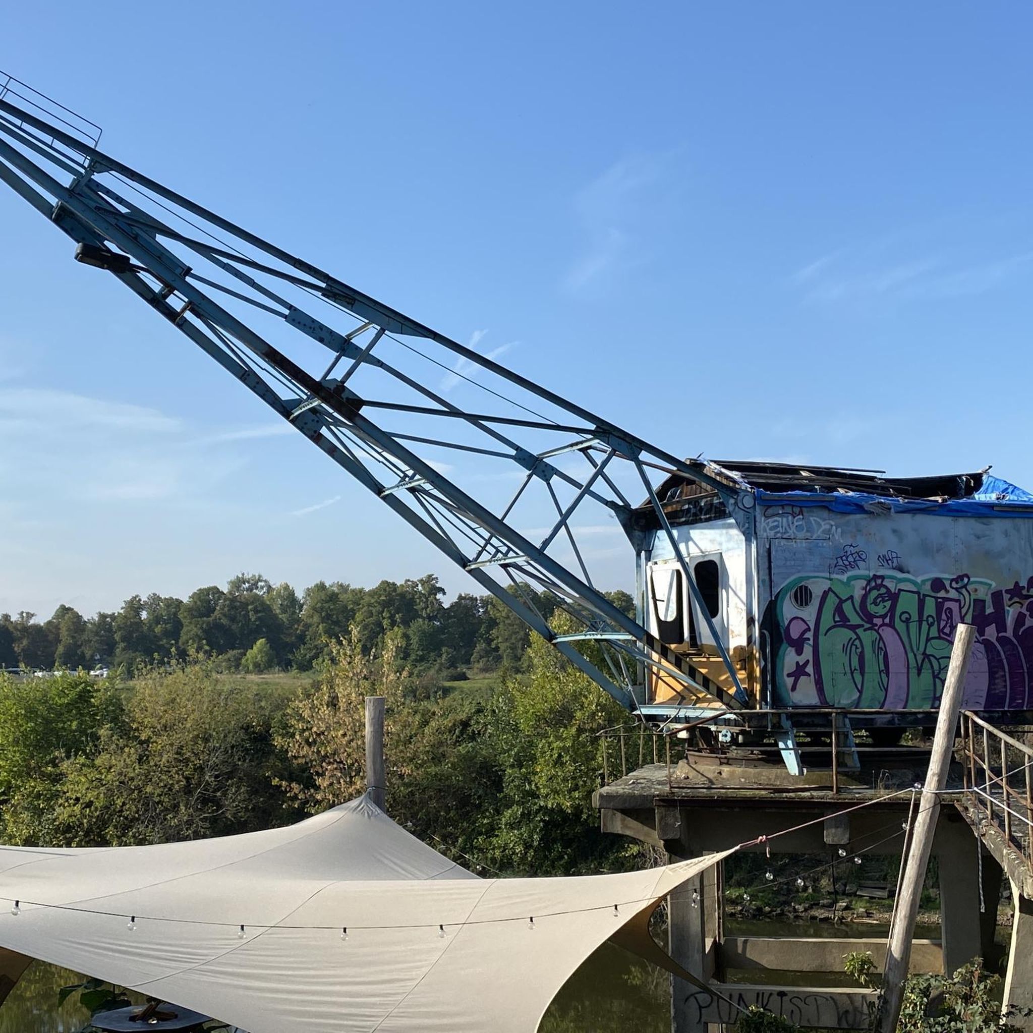
Hikes from bus stations around Judenburg
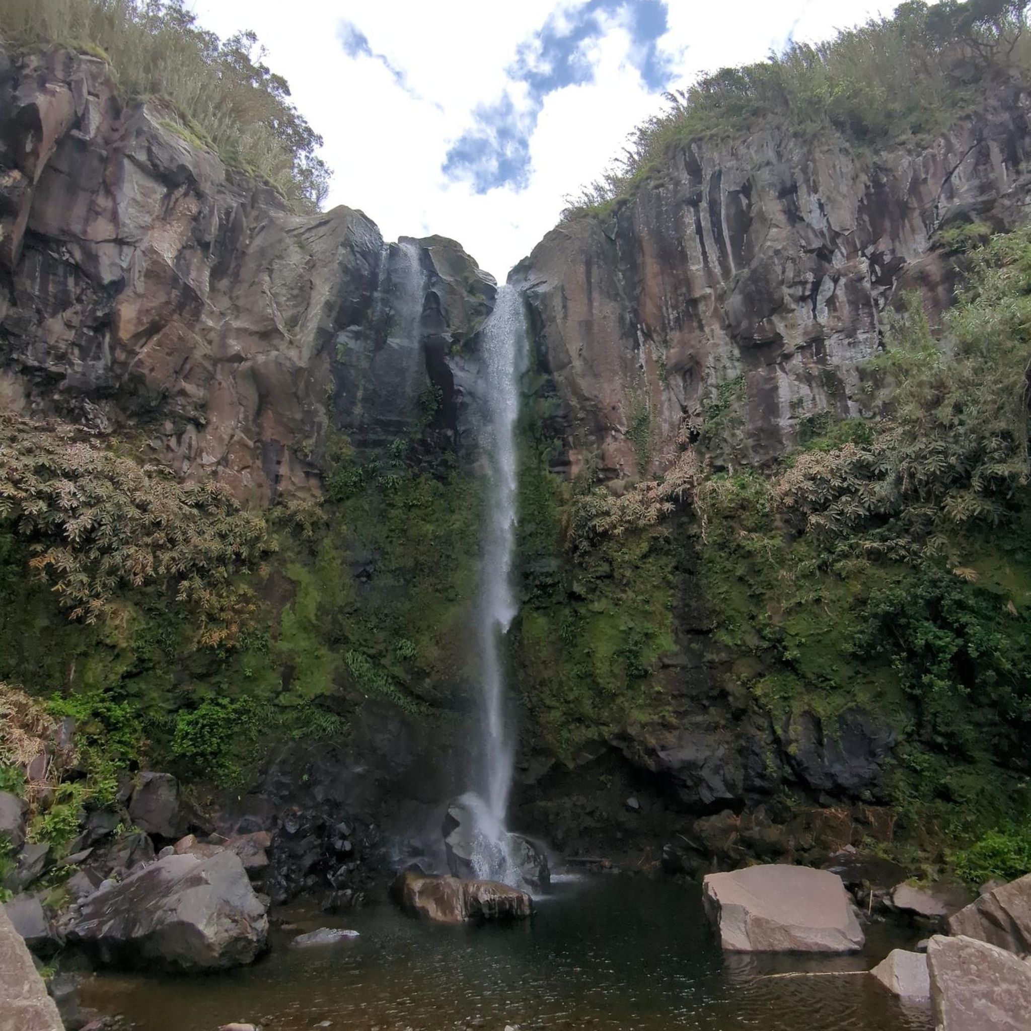
Hikes from bus stations around Weißkirchen in Steiermark

Hikes from bus stations around Spielberg

Hikes from bus stations around Pölstal

Hikes from bus stations in Gulsen
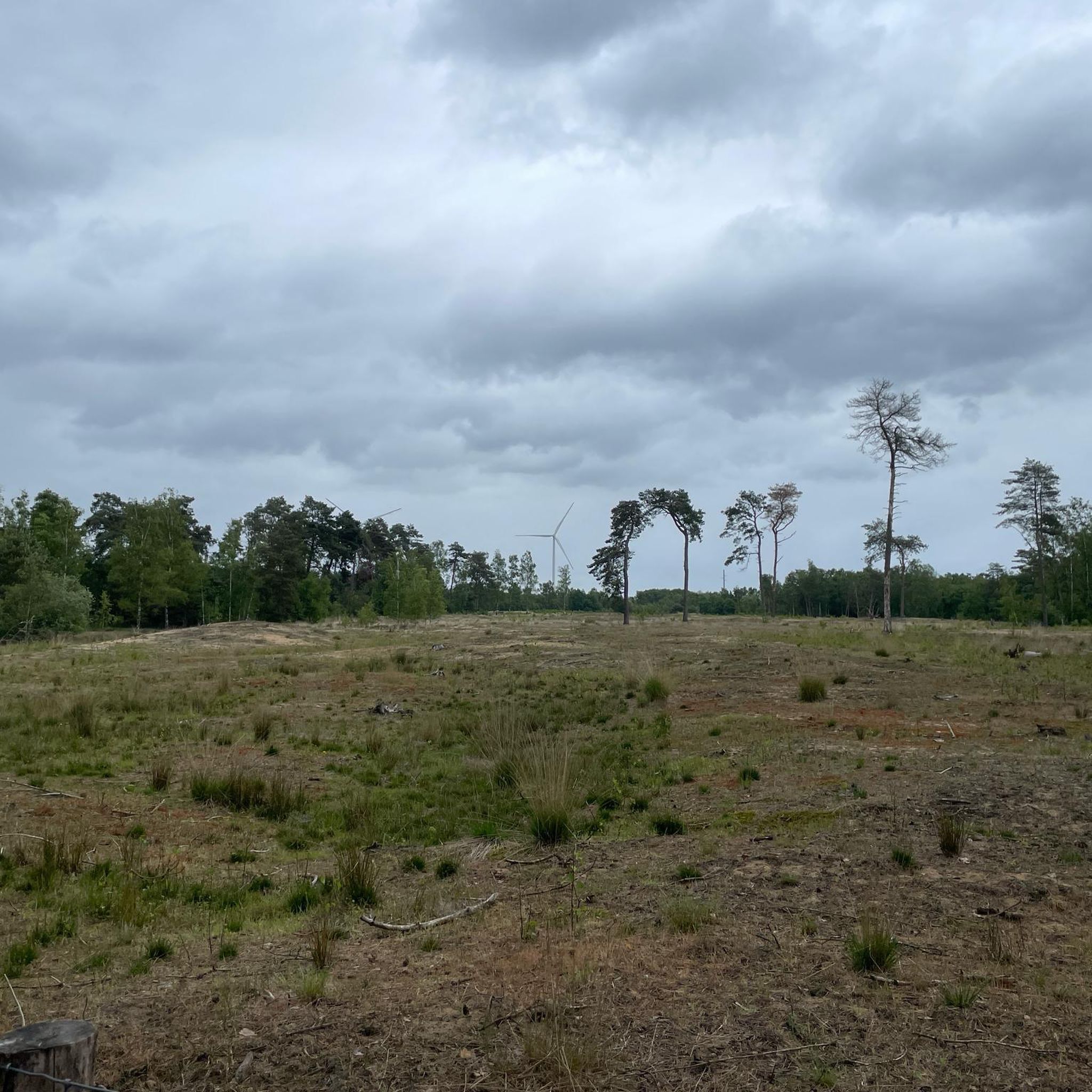
Hikes from bus stations around Seckau

Hikes from bus stations around Pöls-Oberkurzheim

Hikes from bus stations around St. Margarethen bei Knittelfeld
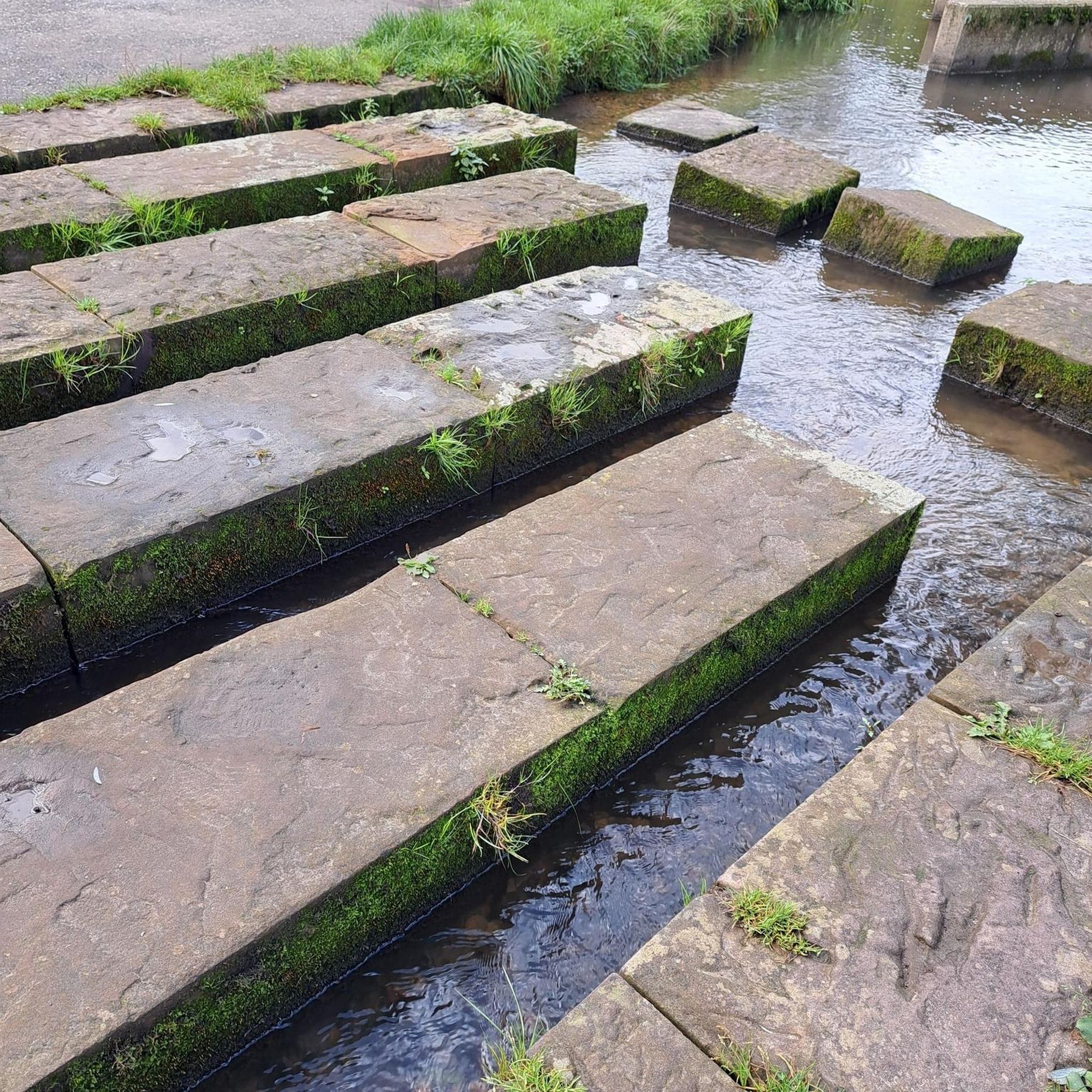
Hikes from bus stations around Lobmingtal

Hikes from bus stations around Sankt Marein-Feistritz
Other adventures in Murtal


Tips from the Community

Stop at the Edelrautehütte.
0
0
Hiking trail 902 to the large parking lot.
0
0
The Scheibelalm is located in Hohentauern at an altitude of approximately 1,686 meters, nestled in the picturesque cirque between the peaks of the Hauseck.
0
0

Water, views, colorful flowers – a beautiful place near the Eppenstein ruins.
0
0
A beautifully laid-out path through a diverse landscape. Along the way, there are numerous signs with interesting information about the local nature and wildlife.
0
0
Perfect place to enjoy your own food amidst the beautiful Au landscape. 🌭
0
0
Beautiful rest area with information boards about the floodplain and its inhabitants. 🐟
0
0
Impressive view of the ruins!
0
0
Frequently Asked Questions
How many bus-accessible hiking trails are available in Murtal?
Based on komoot data, there are over 490 hiking routes in Murtal that are accessible from bus stations. These include 193 easy, 259 moderate, and 40 difficult trails, offering a wide range of options for all experience levels.
What kind of terrain can I expect on bus-accessible hikes in Murtal?
Murtal's bus-accessible trails traverse diverse landscapes, from deep spruce, larch, and Swiss stone pine forests to expansive alpine meadows and high-alpine plateaus. You can find routes along the Mur Valley for more leisurely walks, or challenging ascents to peaks like the Zirbitzkogel summit.
Are there any family-friendly bus-accessible hikes in Murtal?
Yes, Murtal offers several family-friendly options accessible by bus. For a pleasant walk, consider the route Rund um den AuErlebnisweg in St. Peter ob Judenburg, which is a moderate 8.2 km loop. The region also features thematic trails like the entertaining Witches' Trail in Rachau, suitable for families.
Can I find circular hiking routes that start and end at a bus station?
Absolutely. Many bus-accessible routes in Murtal are designed as loops. An example is the easy 6 km route Hohentauern – View of the weaver pond loop from Hohentauern, which offers scenic views and returns to its starting point.
What interesting landmarks or natural features can I see along these trails?
Murtal's trails offer numerous points of interest. You might encounter picturesque mountain lakes like the Lindersee, or enjoy panoramic views from the Tremmelberg Observation Tower. Historical sites such as the Ruine Eppenstein are also accessible, providing a blend of nature and culture.
Are there any challenging bus-accessible mountain hikes in Murtal?
For experienced hikers seeking a challenge, Murtal provides demanding bus-accessible routes. The difficult 14.4 km hike Auf den Geierkogel ab Hohentauern offers significant elevation gain and rewarding views. The region also features ascents to peaks like the Zirbitzkogel, which can be accessed from various starting points like Sabathyhütte or Winterleitenhütte.
What do other hikers enjoy most about hiking in Murtal?
The komoot community highly rates the hiking experience in Murtal, with an average score of 4.5 stars. Reviewers often praise the region's diverse and breathtaking natural landscapes, the numerous peaks offering panoramic views, and the well-maintained trails suitable for all levels of experience.
Are there bus-accessible trails that pass by mountain huts or places to eat?
Yes, several routes in Murtal are designed to pass by mountain huts or other amenities. For example, the Edelraute Hut – Greti Bösenstein Stream loop from Hohentauern includes the Edelraute Hut, providing a convenient stop for refreshments. Many popular starting points for Zirbitzkogel ascents, such as Sabathyhütte and Waldheimhütte, also offer dining options.
When is the best time of year to go hiking from bus stations in Murtal?
Murtal offers hiking opportunities throughout the year, but the best time largely depends on your preferred activity. Spring and autumn provide pleasant temperatures and vibrant scenery for most trails. Summer is ideal for high-alpine tours, while some lower-elevation paths may be suitable for winter walking, especially if snow conditions allow.
Are there any specific regulations for dog owners on bus-accessible trails in Murtal?
While Murtal is generally dog-friendly, specific regulations regarding leashes can vary by trail, protected area, or local municipality. It's always advisable to keep your dog on a leash, especially in alpine pastures, near wildlife, or in crowded areas. Please check local signage at trailheads for any specific rules.
Can I find trails that lead to significant viewpoints or summits from a bus stop?
Yes, Murtal is known for its majestic mountains and peaks, many of which are accessible via bus routes. The Zirbitzkogel summit, the highest elevation in the Seetal and Lavantal Alps, offers spectacular vistas and can be reached from various bus-accessible trailheads. Other notable viewpoints include the Steinplan Summit Cross and the Hochreichart Summit.
Most popular routes in Murtal
Most popular attractions in Murtal

Get inspired with the komoot mobile app


Didn’t find what you were looking for?
Check out more Hikes throughout Murtal below and find the perfect route in your destination.
Explore more
Browse the best Hikes in other regions.
