The best hikes from bus stations in Anhalt-Bitterfeld
4.6
(3124)
12,925
hikers
755
hikes
Bus station hiking trails in Anhalt-Bitterfeld traverse a landscape characterized by gentle terrain and hills typically under 200 meters. The region features extensive re-naturalized lake systems, including the Great Goitzsche Lake and Muldestausee, which were transformed from former open-cast mining areas. Dense mixed forests, such as those in the Düben Heath Nature Park, and riverine landscapes along the Elbe and Saale rivers, including the Lower Saale Valley Nature Park, also define the area. This diverse environment provides varied routes for…
Last updated: October 14, 2026
4.5
(224)
794
hikers
9.33km
02:23
30m
30m
Moderate hike. Good fitness required. Easily-accessible paths. Suitable for all skill levels.
4.7
(100)
358
hikers
Hard hike. Very good fitness required. Easily-accessible paths. Suitable for all skill levels.

4.3
(150)
441
hikers
Moderate hike. Good fitness required. Easily-accessible paths. Suitable for all skill levels.
4.8
(62)
147
hikers
13.0km
03:18
30m
30m
Moderate hike. Good fitness required. Easily-accessible paths. Suitable for all skill levels.
4.3
(158)
454
hikers
Moderate hike. Good fitness required. Easily-accessible paths. Suitable for all skill levels.
Get access to more routes and recommendations from other explorers.
Already have an account?
Our route recommendations are based on thousands of hikes, rides, and runs completed by other people on komoot.
Start today with a free account
Your next adventure awaits.
Popular around Anhalt-Bitterfeld
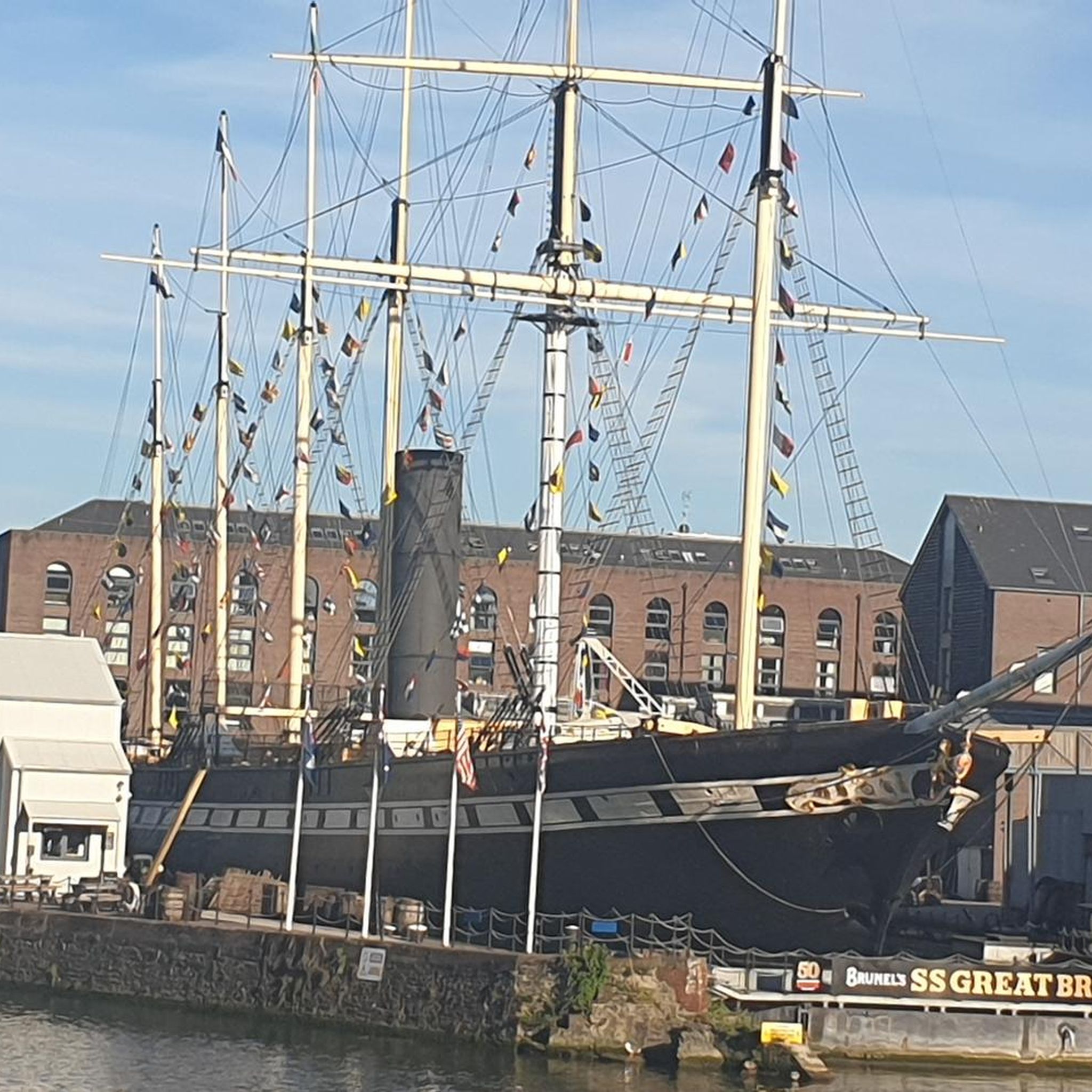
Hikes from bus stations around Großer Goitzschesee
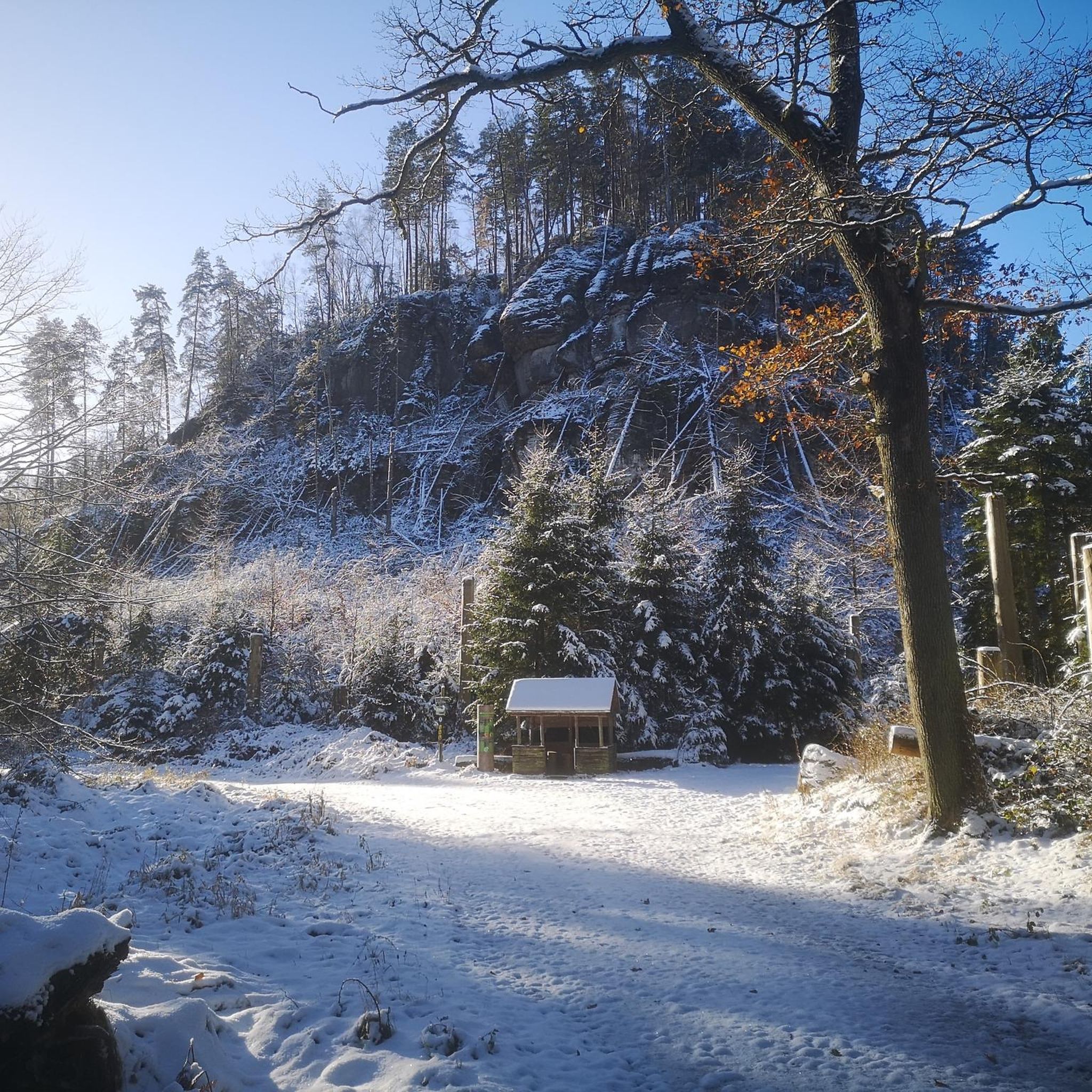
Hikes from bus stations around Muldestausee
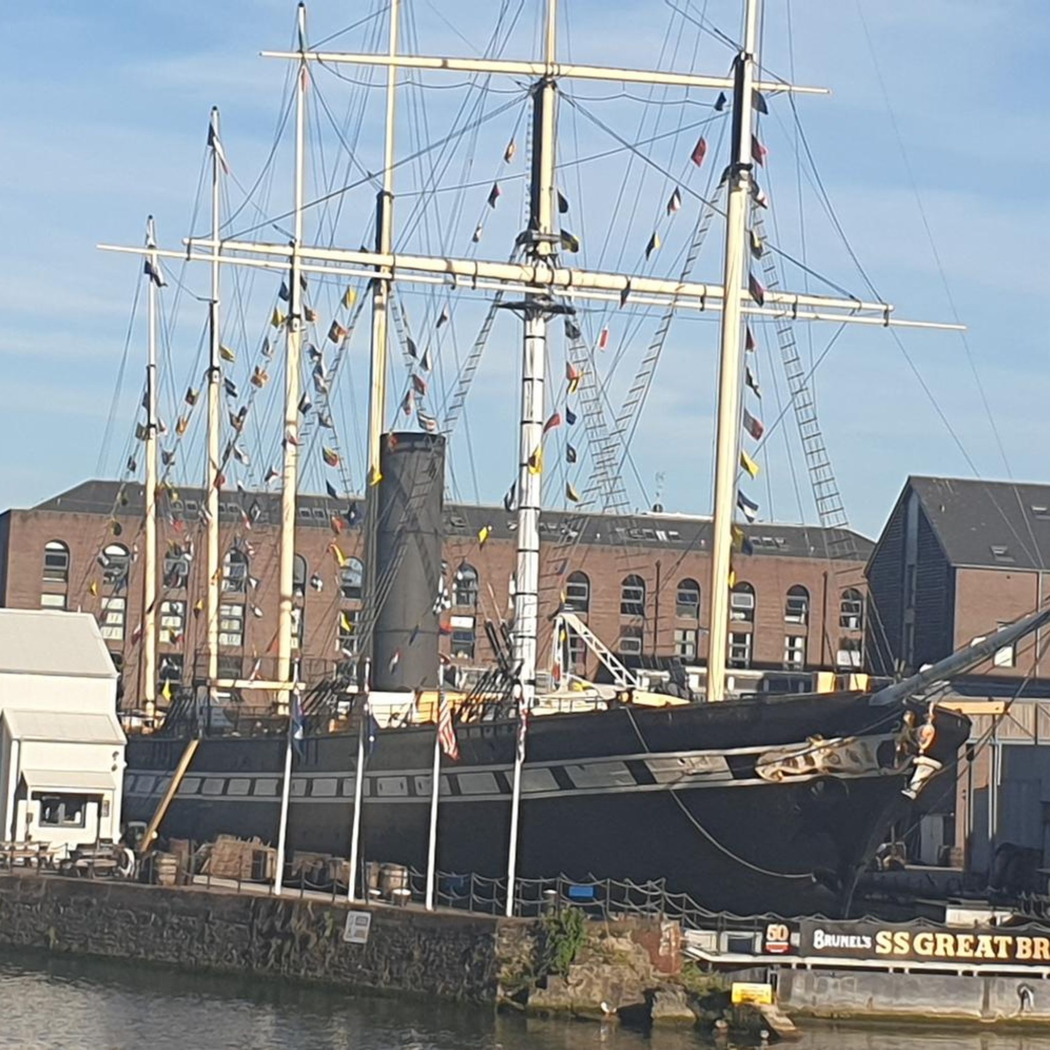
Hikes from bus stations around Bitterfeld-Wolfen
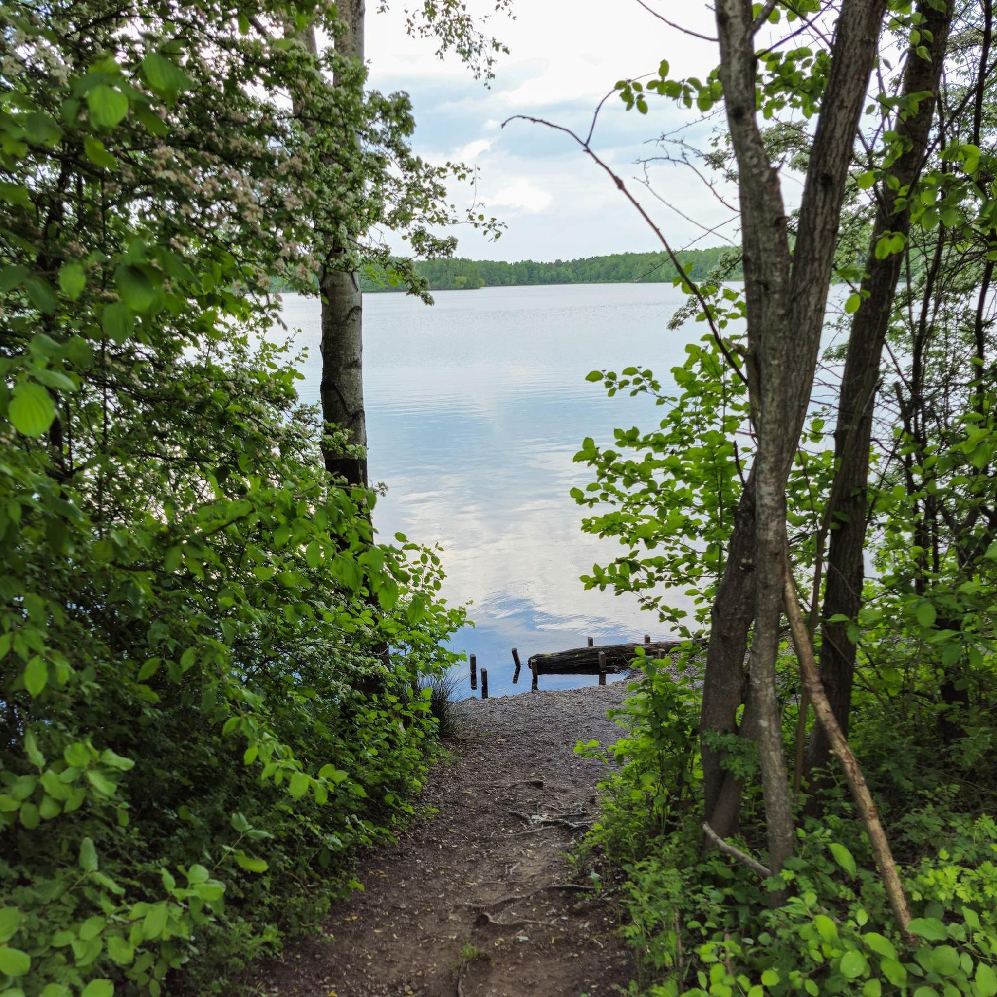
Hikes from bus stations around Muldestausee
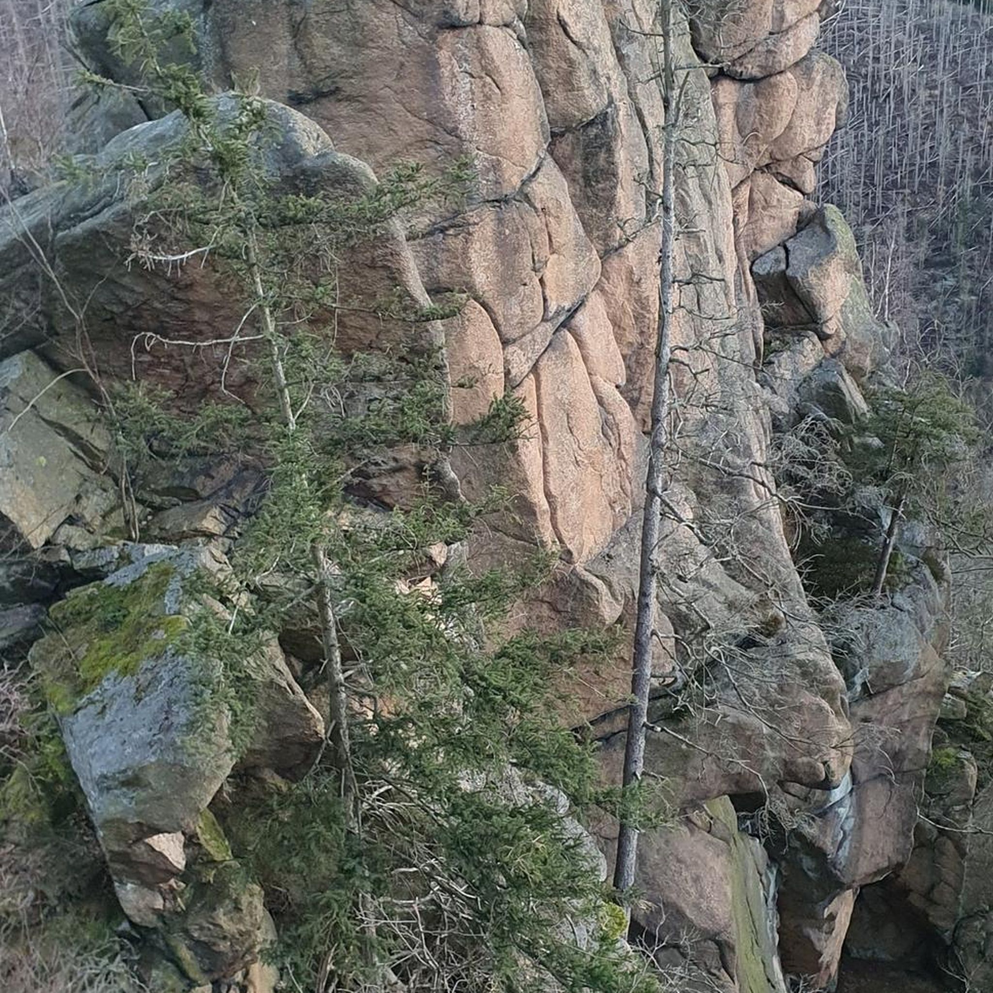
Hikes from bus stations in Untere Mulde

Hikes from bus stations around Sandersdorf-Brehna
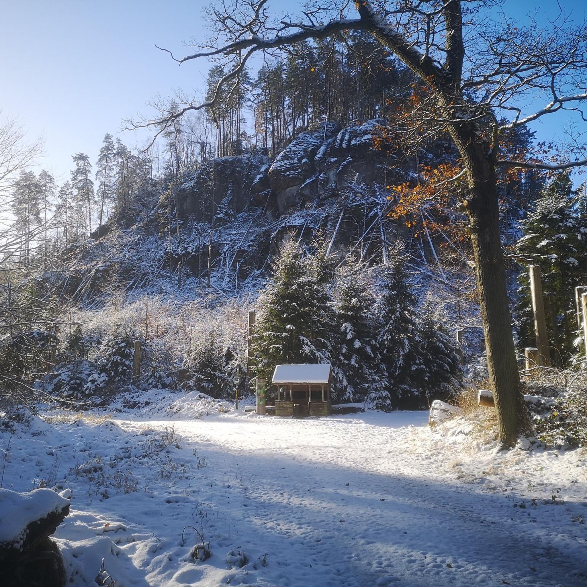
Hikes from bus stations around Gröberner Lake

Hikes from bus stations in Mittelelbe Zwischen Mulde Und Saale
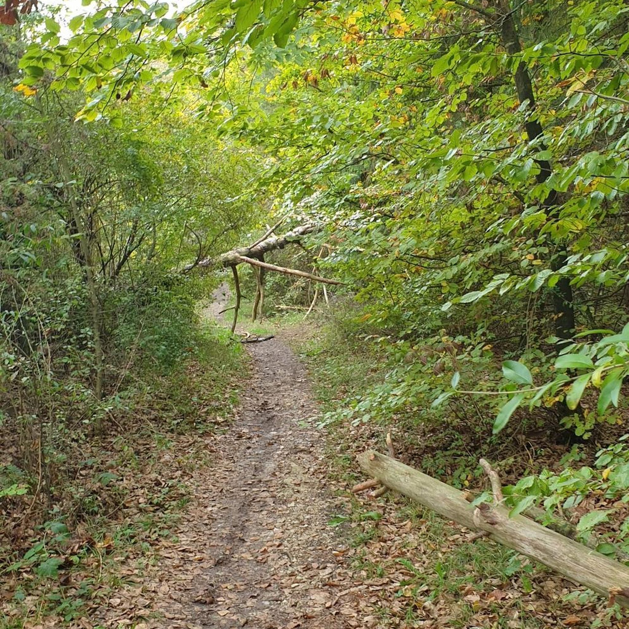
Hikes from bus stations in Kühnauer Forst
Hikes from bus stations around Südliches Anhalt
Other adventures in Anhalt-Bitterfeld


Tips from the Community

Completely flooded during high water and interesting to look at
0
0
It is located at the Biermann Villa on the Goitzsche Radweg
0
0

Definitely worth seeing
3
0
Good starting point for tours
1
0
Definitely worth seeing
0
0
Everything well signposted 👍
1
0
Frequently Asked Questions
How many bus-accessible hiking trails are available in Anhalt-Bitterfeld?
Anhalt-Bitterfeld offers a vast network of bus-accessible hiking trails. You can explore over 700 routes that start conveniently from bus stations, providing diverse options for all skill levels.
What kind of terrain can I expect on bus-accessible hikes in Anhalt-Bitterfeld?
The region is characterized by generally gentle terrain, making it accessible for various fitness levels. You'll find trails winding through re-naturalized lake systems like the Great Goitzsche Lake and Muldestausee, dense mixed forests such as those in the Düben Heath Nature Park, and tranquil riverine landscapes along the Elbe and Saale.
What is the best time of year for bus station hikes in Anhalt-Bitterfeld?
Spring and autumn are particularly recommended for hiking in Anhalt-Bitterfeld. During these seasons, you can enjoy vibrant colorful flower meadows or golden autumn foliage, enhancing the natural beauty of the trails.
What do other hikers say about the bus-accessible trails in Anhalt-Bitterfeld?
The hiking routes in Anhalt-Bitterfeld are highly rated by the komoot community, with an average score of 4.6 stars from over 2,700 reviews. Hikers often praise the successful ecological transformation of former industrial areas into vibrant lake landscapes, the gentle terrain, and the wide array of accessible and enjoyable opportunities.
Are there family-friendly hiking options accessible by bus?
Yes, Anhalt-Bitterfeld is well-suited for families. Many routes feature gentle terrain and offer playful elements. While specific 'children's paths' might require a short walk from the bus stop, routes around the lakes or through forests are generally family-friendly. For example, the Ludwigsee Swimming Area – Lake Ludwig loop from Petersroda is a moderate option that families can enjoy.
Can I bring my dog on bus-accessible hikes in Anhalt-Bitterfeld?
Many trails in Anhalt-Bitterfeld are dog-friendly, especially those through natural areas like forests and along lake shores. It's always advisable to keep your dog on a leash, particularly in nature reserves or near wildlife. Always check local regulations for specific areas.
Are there circular hiking routes starting from bus stations?
Yes, many bus-accessible routes in Anhalt-Bitterfeld are designed as circular walks, allowing you to return to your starting point without needing additional transport. An example is the Gröbener See – Gröberner Lake loop from Gröbern, which offers a moderate circular hike.
What natural features or landmarks can I see along bus-accessible routes?
You can discover a variety of natural features and landmarks. Many trails lead past the re-naturalized lakes, offering scenic views. You might encounter natural monuments like Lake Ludwig or explore the Arboretum Burgkemnitz. Some routes also pass by historical sites such as Cösitz Castle.
Are there any places to eat or rest near bus-accessible hiking trails?
Yes, you can find various spots to rest and refuel. The region offers huts and cabins, some of which are accessible from bus routes. For instance, the Pannenkoek Shaft Lodge or the Almhütte Seensucht provide opportunities for a break or a meal. Many lake areas also have cafes or restaurants.
Are there any longer, more challenging bus-accessible hikes for experienced hikers?
While much of Anhalt-Bitterfeld features gentle terrain, there are longer and more challenging options for experienced hikers. The Red Tower (Pouch) – Goitzschesee Water Level Tower loop from Bitterfeld is a difficult, nearly 28 km route that offers a significant challenge and extensive exploration of the Goitzsche Lake area.
What are some easy bus-accessible hikes suitable for beginners?
Beginners will find plenty of easy and moderate routes. The gentle terrain around the re-naturalized lakes is ideal. A good option for an accessible and not-too-strenuous hike is the Gröbener See – Gröberner Lake loop from Gröbern, which is a moderate 9.3 km route with minimal elevation changes.
Can I find hikes that explore the re-naturalized lake areas from a bus stop?
Absolutely. The re-naturalized lake systems, transformed from former open-cast mining areas, are a highlight of the region and many are accessible by bus. Routes like the Muldestausee (Mulde Reservoir) – Ascent to the Schachtbaude loop from Pouch allow you to explore these unique landscapes directly from a bus station.
Most popular routes in Anhalt-Bitterfeld
Most popular attractions in Anhalt-Bitterfeld

Get inspired with the komoot mobile app


Didn’t find what you were looking for?
Check out more Hikes throughout Anhalt-Bitterfeld below and find the perfect route in your destination.
Explore more
Browse the best Hikes in other regions.
