The best hikes from bus stations in Kyffhäuserkreis
4.6
(7321)
25,651
hikers
651
hikes
Bus station hiking trails in Kyffhäuserkreis traverse a region characterized by the Kyffhäuser hills, the Unstrut Valley, and extensive forest areas. The landscape features diverse ecosystems, including beech forests and distinctive gypsum karst formations. Hikers can explore varied topography, from low mountain ranges to river valleys, offering a range of natural environments.
Best bus station hiking trails in Kyffhäuserkreis
- The most popular bus station hiking route is Urwaldpfad Possen – Thuringia's Primeval Forests of Tomorrow, a 5.9 miles (9.6 km) trail that takes 2 hours 47 minutes to complete. This moderate route explores protected forest areas developing into natural "primeval forests."
- Another top favourite among local hikers is Kyffhäuser Monument – Kyffhausen Lower Castle loop from Naturschutzgebiet Rothenburg, a moderate 8.3 miles (13.3 km) path. This route offers views of the Kyffhäuser Monument and the surrounding natural reserve.
- Local hikers also love the View from Galgenberg – Kattenburger Weg loop from Bad Frankenhausen/Kyffhäuser, an 8.3 miles (13.3 km) trail leading through varied terrain, often completed in about 3 hours 43 minutes.
- Hiking in Kyffhäuserkreis is defined by the Kyffhäuser hills, gypsum karst landscapes, and diverse forests, including initiatives like "Thuringia's Primeval Forests of Tomorrow." The network offers options for different ability levels, from easy walks to more demanding routes.
- The routes in Kyffhäuserkreis are highly rated by the komoot community with an average score of 4.6 stars from more than 7,000 reviews. More than 26,000 hikers have used komoot to explore Kyffhäuserkreis's varied terrain.
Last updated: June 28, 2026
4.6
(95)
302
hikers
9.55km
02:48
270m
270m
Moderate hike. Good fitness required. Easily-accessible paths. Suitable for all skill levels.
2
hikers
34.8km
09:54
800m
750m
Hard hike. Very good fitness required. Easily-accessible paths. Suitable for all skill levels.

Sign up for free
4.7
(174)
447
hikers
Moderate hike. Good fitness required. Easily-accessible paths. Suitable for all skill levels.
4.8
(193)
566
hikers
Moderate hike. Good fitness required. Mostly accessible paths. Sure-footedness required.
4.7
(142)
378
hikers
13.9km
03:57
300m
300m
Moderate hike. Good fitness required. Easily-accessible paths. Suitable for all skill levels.
Get access to more routes and recommendations from other explorers.
Sign up for free
Already have an account?
Our route recommendations are based on thousands of hikes, rides, and runs completed by other people on komoot.
Start today with a free account
Your next adventure awaits.
Login or Signup
Popular around Kyffhäuserkreis
Hikes from bus stations around Kyffhäuserland

Hikes from bus stations around Bad Frankenhausen/Kyffhäuser
Hikes from bus stations around Sondershausen
Hikes from bus stations in Windleite

Hikes from bus stations around Hainleite
Hikes from bus stations in Naturschutzgebiet Rothenburg

Hikes from bus stations around Wipperdurchbruch
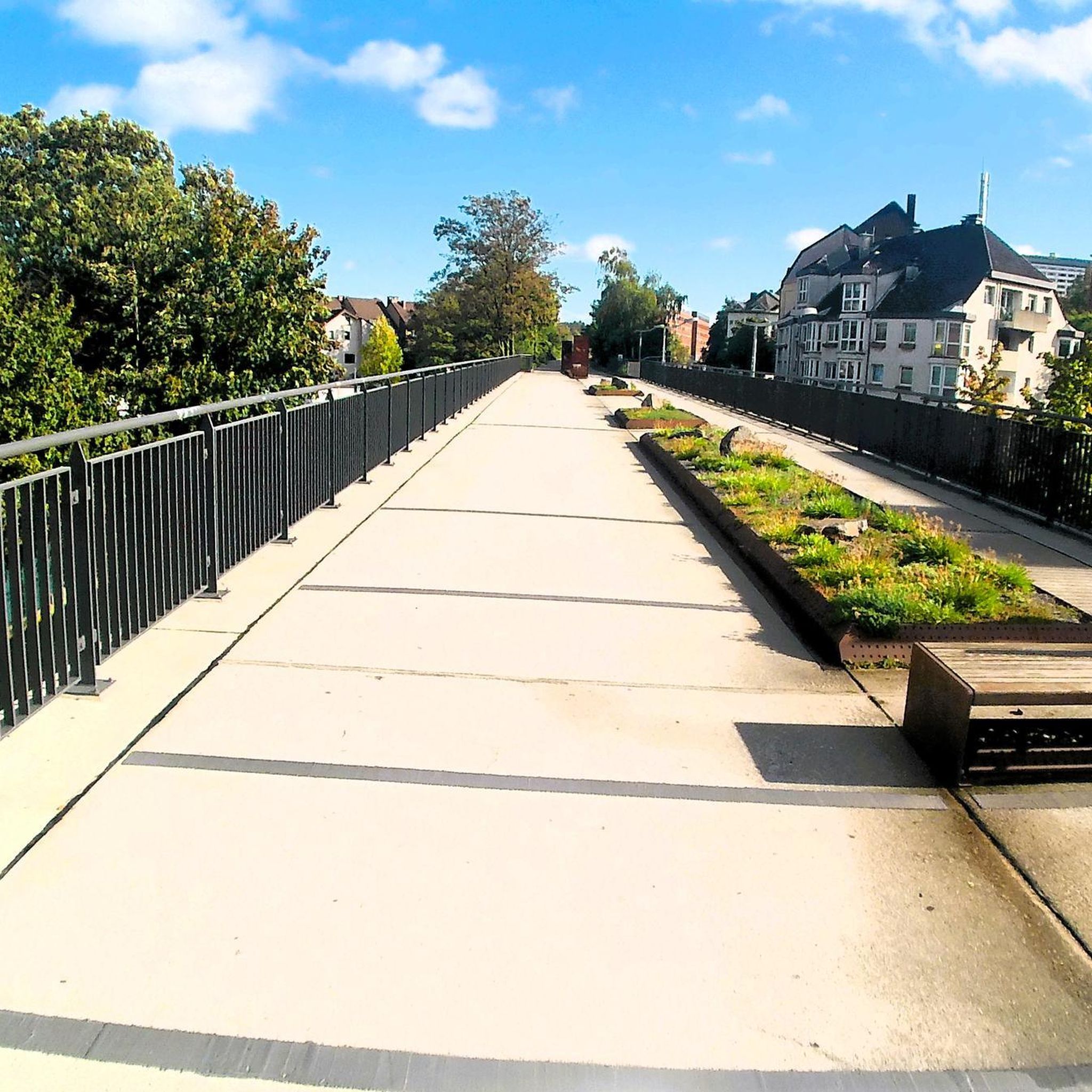
Hikes from bus stations around Wiehe

Hikes from bus stations around Heldrungen
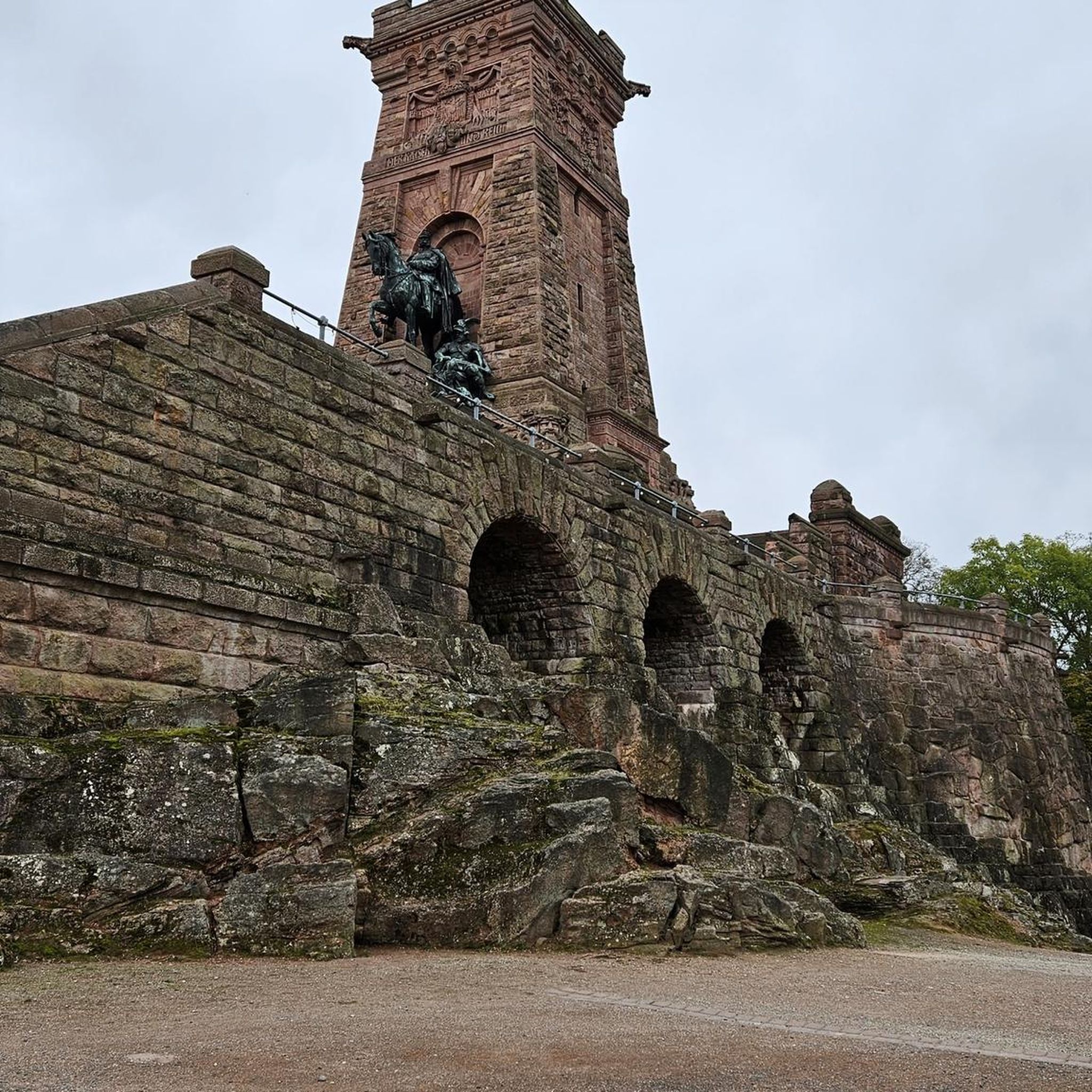
Hikes from bus stations around Donndorf
Other adventures in Kyffhäuserkreis


Tips from the Community

The Jewish cemetery in Sondershausen could be established when the modern Jewish community was founded in the city at the end of the 17th century: in 1699, the area for a Jewish burial site south of the city on the Spatenberg was purchased. The "protected Jew" of the time, Alexander Cantor, acquired the property. The oldest gravestones (from the early 18th century) are located on the area to the left of the entrance gate (approx. 25 rows of graves). On the area to the right of the gate, there are seven rows of newer gravestones from the years 1885 to 1939; the last burial was in 1939 (Selma Baruch). The older gravestones are predominantly made of local shell limestone. There are approximately 180 burial sites. The cemetery area - in the shape of a triangle - covers about 33 ares. A cemetery hall / Taharahaus was present (demolished in 1988). In 1988, a memorial stone was erected at the site of the demolished cemetery hall - the inscription reads: "In silent remembrance of our murdered brothers and sisters 1933-1945". The cemetery was desecrated in August 1990, April 1997, December 2003, and August 2014. Location: South of the city on the Spatenberg; continuation of Possenallee / south of Heinrich-Cotta-Weg
0
0

Great path, the steep meadows have now also been cleared again.
3
0

Great hiking trail to the Kyffhäuser Monument
0
0
Great hiking trail to the Kyffhäuser Monument
0
0

Very nice to ride. It has something 👍
0
1

A true masterpiece of architecture. But they have a real sense of humor in Sondershausen. They make you walk up the steep hill to the tower, and then they say, "The key is in the forester's lodge." Exactly my kind of humor 😝😅
9
0

Nice rest area with a great view
0
0

When we finally arrived at the roundabout, we were amazed and delighted by the magnificent view. The Sondershausen roundabout is a semicircular structure built in 1910, with a World War II memorial dedicated in 1929, located on the Hainleite ridge. Located at 390 meters above sea level, it serves as a vantage point, including views of Sondershausen's town center and the Harz Mountains.
8
0
Frequently Asked Questions
How many bus station hiking trails are available in Kyffhäuserkreis?
The Kyffhäuserkreis region offers a wide selection of hiking trails accessible from bus stations. You can find over 660 routes, ranging from easy strolls to more challenging day hikes, all starting conveniently from public transport stops.
Are there easy hiking trails accessible by bus in Kyffhäuserkreis?
Yes, the region provides numerous easy hiking options from bus stations. Over 280 routes are classified as easy, making them suitable for beginners or those looking for a relaxed walk. Many of these trails allow you to explore the diverse landscapes without significant elevation changes.
Can I find circular hiking routes starting from bus stops in Kyffhäuserkreis?
Absolutely. Many of the bus-accessible trails in Kyffhäuserkreis are designed as circular routes, allowing you to start and end your hike at the same bus stop. For example, the View from Galgenberg – Kattenburger Weg loop from Bad Frankenhausen/Kyffhäuser is a moderate circular hike that offers scenic views.
What are the best times of year for bus station hikes in Kyffhäuserkreis?
The best seasons for hiking in Kyffhäuserkreis are spring and autumn. During these times, the weather is mild, and nature displays its most vibrant colors, from blooming plants in spring to rich autumnal foliage. The region's unique flora, including 35 orchid species, is particularly beautiful in spring.
What unique natural features can I expect to see on bus-accessible hikes in Kyffhäuserkreis?
Kyffhäuserkreis is known for its diverse natural landscapes. You can explore distinctive gypsum karst formations, extensive beech forests, and even salt marshes. The region is also home to the Kyffhäuser Nature Park, one of Germany's most biologically diverse areas, with over 1300 plant species.
Are there any significant historical landmarks or attractions along bus station hiking trails?
Yes, the region is rich in historical and natural attractions. Many bus-accessible routes lead to or pass by notable sites such as the impressive Kyffhäuser Monument, offering panoramic views. You might also encounter ruins like Kyffhausen Lower Castle or the Barbarossa Tower, Upper Castle.
Can I experience the "Primeval Forests of Tomorrow" concept on a bus-accessible hike?
Yes, you can. The region features initiatives like "Thuringia's Primeval Forests of Tomorrow," where protected forest areas are allowed to develop naturally. The Urwaldpfad Possen is a moderate hike that allows you to experience this unique natural environment.
Are the bus station hiking trails in Kyffhäuserkreis suitable for families?
Many bus-accessible trails in Kyffhäuserkreis are family-friendly, offering engaging experiences for all ages. The region features themed trails, like those "In the Footsteps of Till Eulenspiegel," and interactive paths such as the Forest Adventure Path between the Rothenburg ruins and the Kyffhäuser Monument, designed to appeal to children.
Are there dog-friendly hiking options accessible by bus in the region?
Kyffhäuserkreis is generally welcoming to dogs on its hiking trails. Most paths through the natural landscapes are suitable for walks with your canine companion. Always ensure your dog is on a leash where required, especially in nature reserves, and check local regulations for specific areas.
What do other hikers enjoy the most about hiking in Kyffhäuserkreis?
The komoot community highly rates the hiking experiences in Kyffhäuserkreis, with an average score of 4.6 stars. Reviewers often praise the region's diverse landscapes, the well-signposted trails, and the unique natural and historical attractions like the Kyffhäuser Monument and the Barbarossa Cave. The convenience of public transport access is also frequently highlighted.
Are there any viewpoints offering scenic panoramas on bus-accessible routes?
Yes, the Kyffhäuserkreis region is dotted with numerous viewpoints. The Kyffhäuser Monument itself offers breathtaking panoramic views. Additionally, routes like the Novalis Viewpoint – Kyffhausen Lower Castle loop provide excellent vistas of the surrounding landscape.
Most popular routes in Kyffhäuserkreis
Most popular attractions in Kyffhäuserkreis

Get inspired with the komoot mobile app


Didn’t find what you were looking for?
Check out more Hikes throughout Kyffhäuserkreis below and find the perfect route in your destination.
