Landkreis Bad Tölz-Wolfratshausen
Landkreis Bad Tölz-Wolfratshausen
The best hikes from bus stations in Landkreis Bad Tölz-Wolfratshausen
4.5
(49152)
264,932
hikers
1,455
hikes
Bus station hiking trails in Landkreis Bad Tölz-Wolfratshausen traverse a diverse landscape, transitioning from gentle northern hills to the dramatic Alpine foothills in the south. The region is characterized by prominent peaks like Jochberg and Herzogstand, offering panoramic views. Numerous serene lakes such as Walchensee and Kochelsee, alongside the Isar and Loisach rivers, define the valleys. This varied terrain includes extensive paths through forests, open meadows, and along riverbanks.
Best bus station hiking trails in Landkreis Bad Tölz-Wolfratshausen
- The most…
Last updated: July 11, 2026
3,225
hikers
15.1km
06:57
1,110m
1,100m
Hard hike. Very good fitness required. Sure-footedness, sturdy shoes and alpine experience required.
4.8
(624)
4,773
hikers
10.1km
04:45
800m
800m
Moderate hike. Good fitness required. Mostly accessible paths. Sure-footedness required.

Sign up for free
4.8
(1898)
8,656
hikers
9.49km
04:12
660m
660m
Moderate hike. Good fitness required. Mostly accessible paths. Sure-footedness required.
4.8
(627)
2,348
hikers
9.83km
02:43
170m
170m
Moderate hike. Good fitness required. Easily-accessible paths. Suitable for all skill levels.
4.7
(485)
2,147
hikers
9.30km
02:29
100m
100m
Moderate hike. Good fitness required. Easily-accessible paths. Suitable for all skill levels.
Get access to more routes and recommendations from other explorers.
Sign up for free
Already have an account?
Our route recommendations are based on thousands of hikes, rides, and runs completed by other people on komoot.
Start today with a free account
Your next adventure awaits.
Login or Signup
Popular around Landkreis Bad Tölz-Wolfratshausen

Hikes from bus stations around Walchensee

Hikes from bus stations around Lenggries
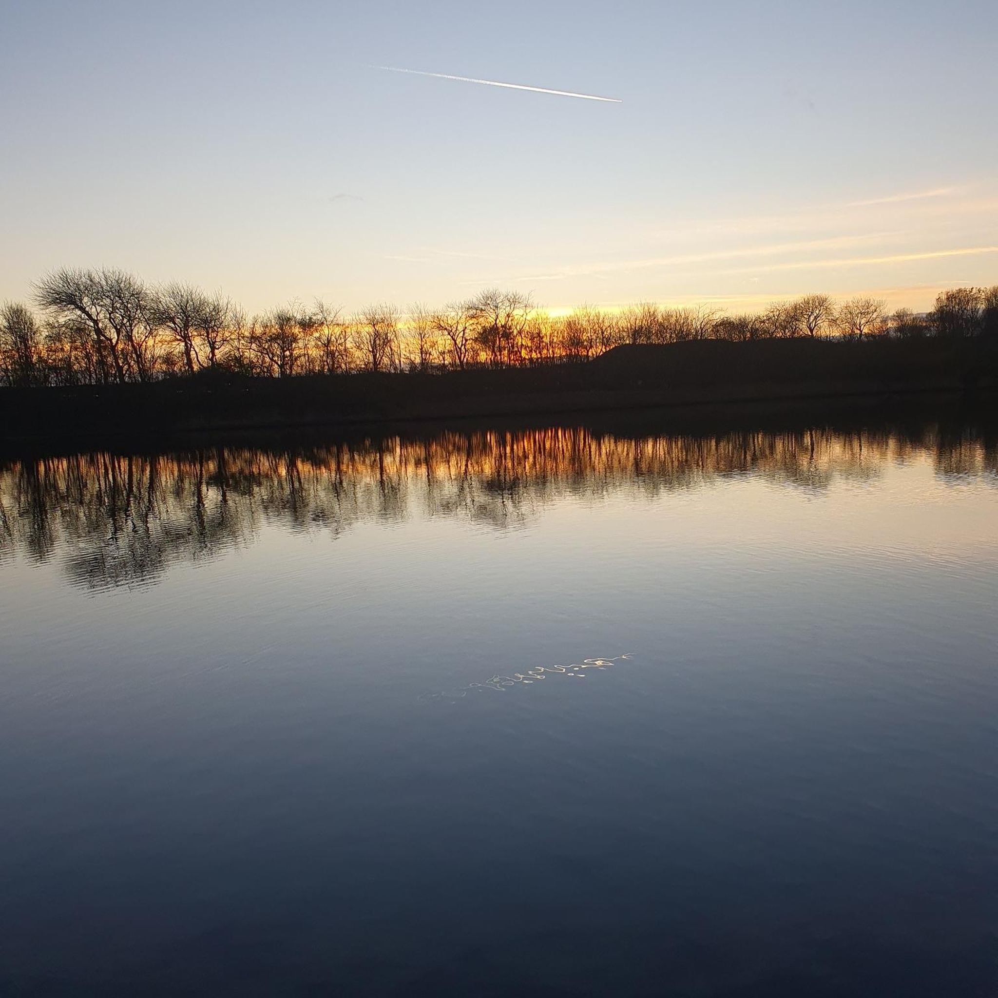
Hikes from bus stations around Kochelsee
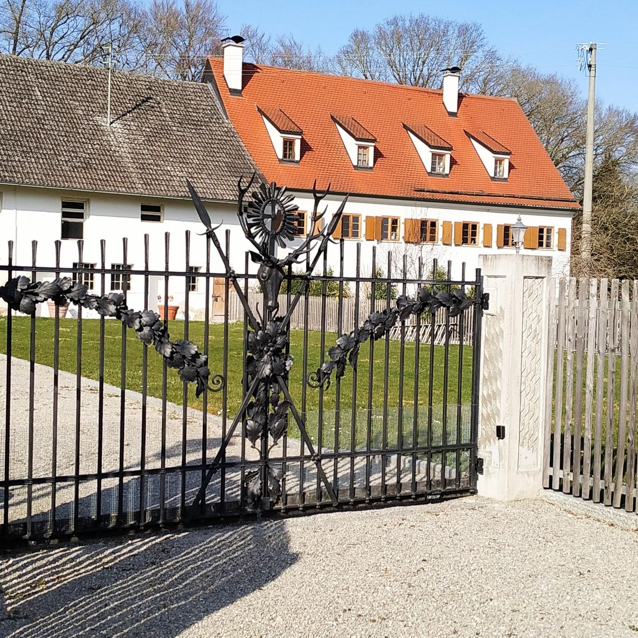
Hikes from bus stations around Bad Tölz
Hikes from bus stations around Isar-Stausee Tölz
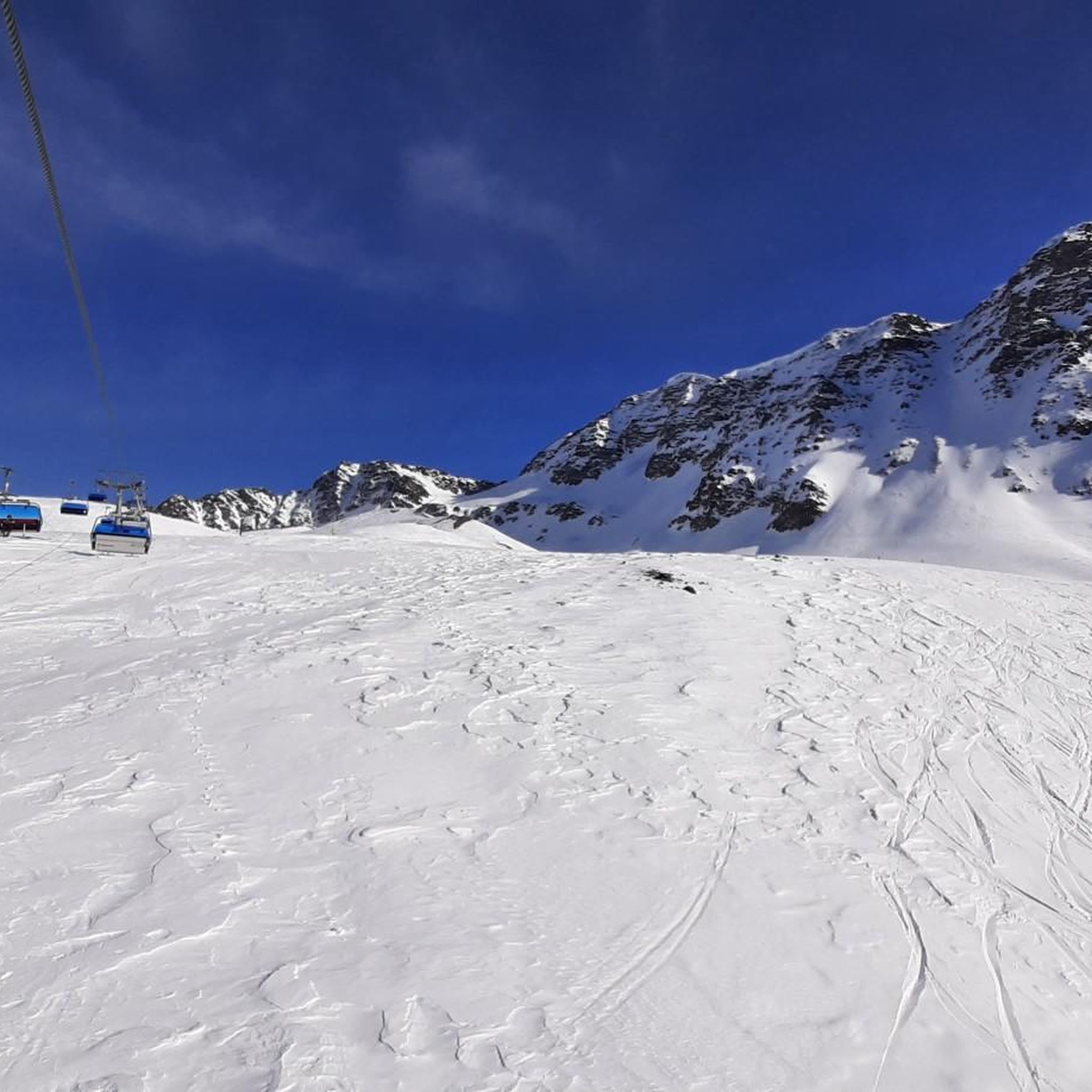
Hikes from bus stations in Karwendel Und Karwendelvorgebirge
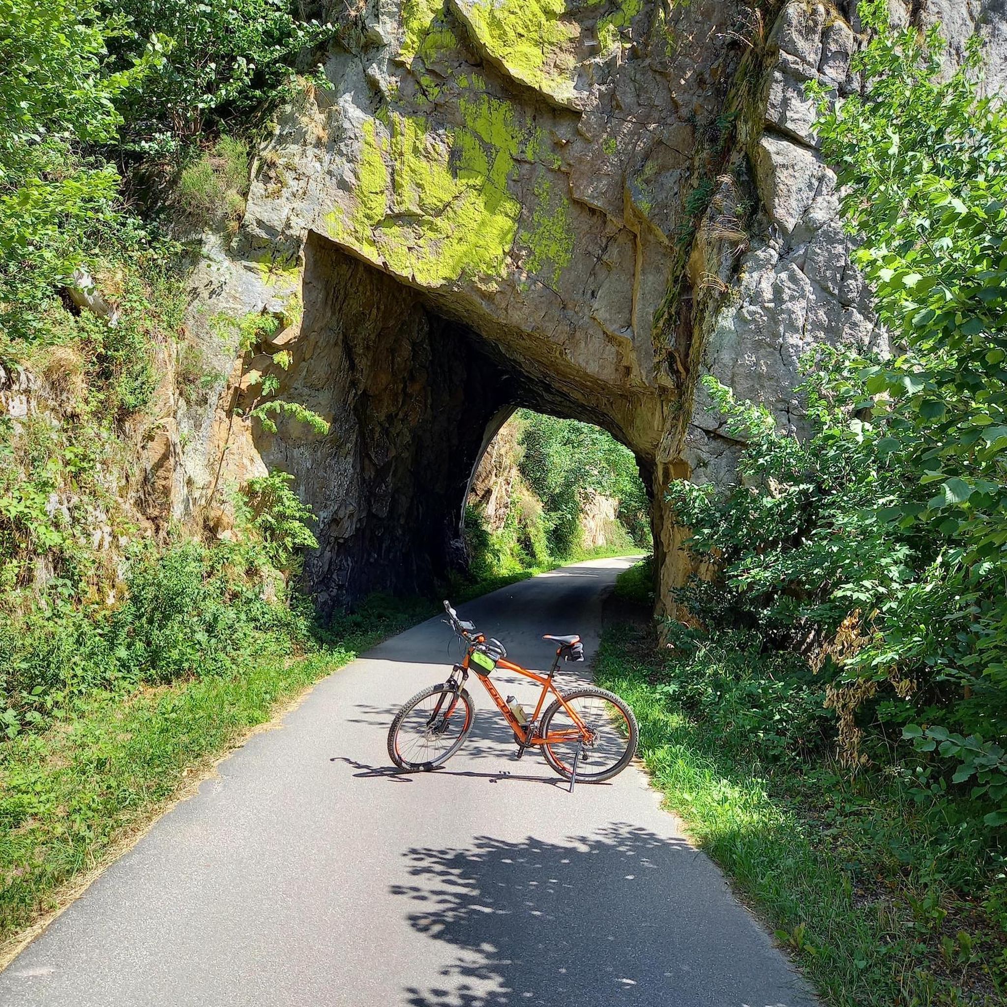
Hikes from bus stations around Zeller Forest
Hikes from bus stations around Stallauer Weiher

Hikes from bus stations around Ellbach- und Kirchseemoor
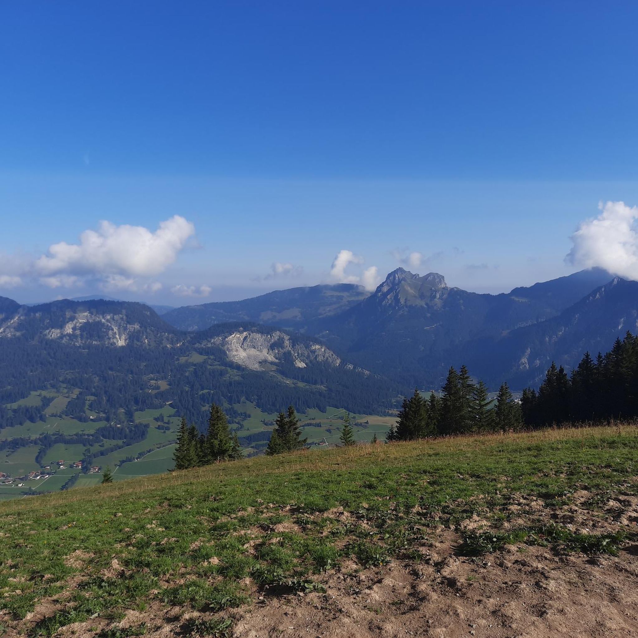
Hikes from bus stations around Geretsried
Other adventures in Landkreis Bad Tölz-Wolfratshausen


Tips from the Community

Beautiful lake, great paths, nice view of the mountains
0
0

It's not the Jachen, but the Große Laine.
0
0

Those wanting to reach the waterfall or head towards Rabenkopf/Beniwand by mountain bike should take the forest road on the right-hand side heading into the valley. The narrow footpath on the left is closed to bicycles. It's a much nicer route for hiking and also the more scenic one towards Hirschhörnl.
0
0

Simply sit here, enjoy the view and let your mind wander.
0
0

Beautiful view over Lake Walchensee. It also serves as a reservoir for the hydroelectric power plant. A cycling and hiking path runs along the eastern shore. Unfortunately, on the western shore, you have to use most of the B11 by bike.
0
0

The stream winds its way down into the valley over waterfalls of varying heights. This is a beautiful gorge with mossy rocks and ferns, but it's also clearly shaped by the force of the water and not always easy to navigate. Be sure to have surefootedness and wear proper footwear.
0
0

beautiful view of the village of Walchensee
0
0

Frequently Asked Questions
How many bus-accessible hiking trails are available in Landkreis Bad Tölz-Wolfratshausen?
The region offers a vast network of over 1,400 hiking routes, many of which are accessible directly from bus stations. This makes it easy to explore the diverse landscapes of the Alpine foothills without needing a car.
What makes hiking from bus stations in Landkreis Bad Tölz-Wolfratshausen special?
Hiking from bus stations in this region provides unparalleled access to stunning natural beauty, from serene lakes to majestic Alpine peaks, all while promoting sustainable travel. It allows you to undertake point-to-point hikes or circular routes without worrying about returning to a parked car.
What do other hikers enjoy most about the bus-accessible trails in this region?
The bus-accessible trails in Landkreis Bad Tölz-Wolfratshausen are highly rated by the komoot community, with an average score of 4.5 stars. Hikers frequently praise the breathtaking panoramic views, the well-maintained paths, and the convenience of public transport access to diverse terrain.
Are there easy, family-friendly bus station hikes available?
Yes, there are numerous easy and moderate trails perfect for families. For example, the Lake Walchensee – View of Lake Walchensee loop from Walchensee offers a moderate 8.5 km walk with beautiful lakeside views, suitable for a pleasant family outing.
Can I find challenging mountain hikes accessible by bus?
Absolutely. The southern part of the district features the majestic foothills of the Alps, offering demanding routes. The Heimgarten – Fantastic view loop from Walchensee is a challenging 15 km tour with over 1,100 meters of ascent, providing extensive panoramic views of the surrounding Alpine landscape.
Are there circular routes that start and end at a bus station?
Many routes are designed as circular loops, allowing you to start and finish at the same bus station. The Jochberg Summit – Walchensee loop from Walchenseekraftwerk is a popular moderate circular hike offering stunning vistas over Walchensee and Kochelsee.
Are there bus-accessible hikes that feature lakes or rivers?
Yes, the region is rich in water bodies. You can find trails along the banks of the Isar and Loisach rivers, or around picturesque lakes like Walchensee and Kochelsee. The Lake Walchensee – View of Lake Walchensee loop from Walchensee is a great example of a lakeside hike.
Can I find trails with waterfalls or other natural monuments?
Yes, the region boasts several natural highlights. You can explore areas like the Wild Isar Valley or seek out the tranquil Lainbach Waterfall, both accessible via public transport connections to nearby trailheads.
What kind of views can I expect on these bus-accessible trails?
The views are incredibly diverse, ranging from serene lake panoramas over Walchensee and Kochelsee to expansive vistas of the entire Alpine chain from peaks like Jochberg and Heimgarten. On clear days, you can even see as far as Munich from higher elevations.
Are there dog-friendly bus station trails in Landkreis Bad Tölz-Wolfratshausen?
Many trails in the region are dog-friendly, but it's always advisable to check specific route details for any restrictions, especially in nature reserves or near livestock. Generally, the diverse terrain offers plenty of opportunities for you and your canine companion to enjoy the outdoors.
What are some notable landmarks or points of interest along these routes?
Beyond the natural beauty, you can encounter cultural and historic elements. The Brauneck Summit Cross and Herzogstand summit cross offer iconic photo opportunities and stunning views. The charming spa town of Bad Tölz, with its historic old town, is also easily accessible by bus and offers pleasant riverside walks.
Are there bus-accessible hikes with opportunities for a cafe stop?
Many routes, particularly those in the valleys or near villages, offer opportunities to stop at traditional Bavarian guesthouses or cafes. For example, trails around Lenggries often have charming places to refuel with local delicacies after your hike.
Most popular routes in Landkreis Bad Tölz-Wolfratshausen
Most popular attractions in Landkreis Bad Tölz-Wolfratshausen

Get inspired with the komoot mobile app


Didn’t find what you were looking for?
Check out more Hikes throughout Landkreis Bad Tölz-Wolfratshausen below and find the perfect route in your destination.
