The best hikes from bus stations in Unterallgäu
4.5
(5923)
27,168
hikers
1,277
hikes
Bus station hiking trails in Unterallgäu traverse a diverse landscape characterized by rolling hills, expansive meadows, and dense wooded areas. The region features river valleys, such as those of the Iller and Wertach, alongside ancient moraine landscapes and preserved natural moors. This terrain offers a variety of routes, from gentle paths along streams and small lakes to trails with distant views of the Alps.
Best bus station hiking trails in Unterallgäu
- The most popular bus station hiking route is Glückserlebnis…
Last updated: June 28, 2026
4.4
(24)
93
hikers
Moderate hike. Good fitness required. Easily-accessible paths. Suitable for all skill levels.
4.6
(69)
294
hikers
15.9km
04:27
300m
300m
Moderate hike. Good fitness required. Easily-accessible paths. Suitable for all skill levels.

Sign up for free
4.5
(73)
271
hikers
Moderate hike. Good fitness required. Easily-accessible paths. Suitable for all skill levels.
4.7
(49)
187
hikers
Easy hike. Great for any fitness level. Easily-accessible paths. Suitable for all skill levels.
4.7
(54)
223
hikers
6.76km
01:49
80m
80m
Easy hike. Great for any fitness level. Easily-accessible paths. Suitable for all skill levels.
Get access to more routes and recommendations from other explorers.
Sign up for free
Already have an account?
Our route recommendations are based on thousands of hikes, rides, and runs completed by other people on komoot.
Start today with a free account
Your next adventure awaits.
Login or Signup
Popular around Unterallgäu
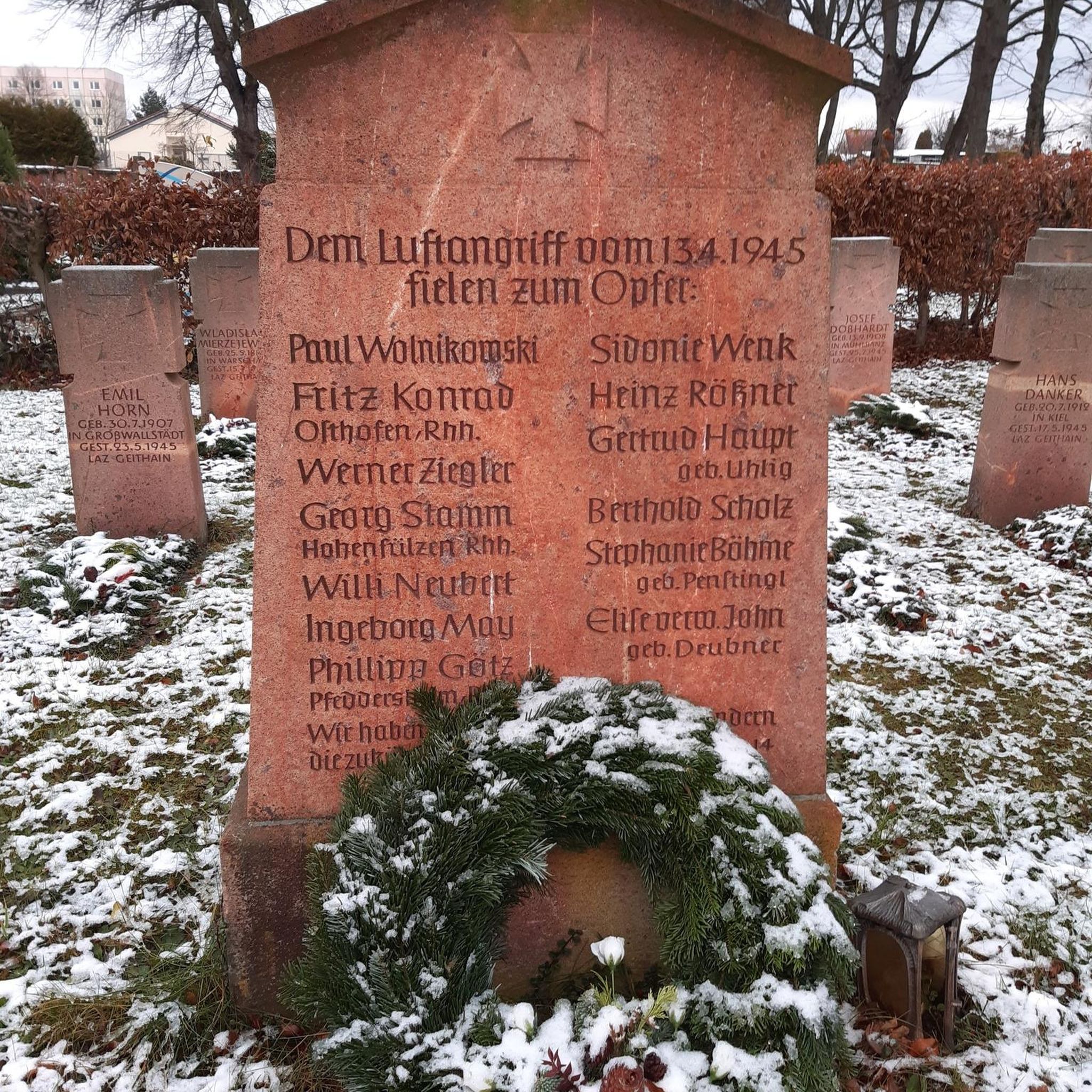
Hikes from bus stations around Bad Wörishofen

Hikes from bus stations around Bingstetter Lake

Hikes from bus stations in Otterwald
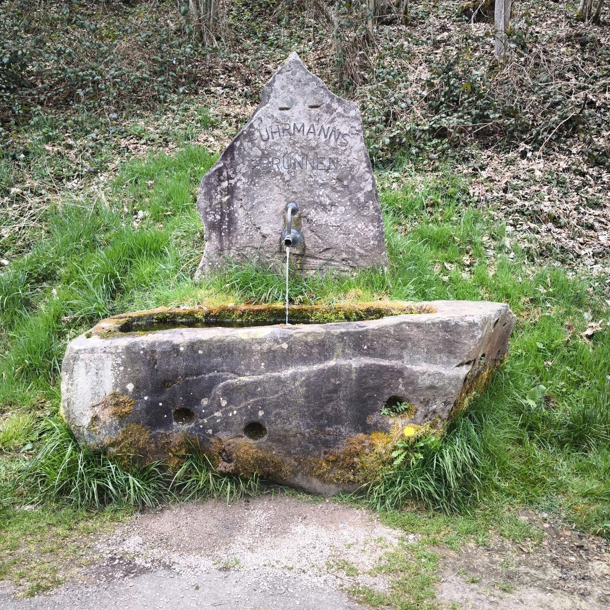
Hikes from bus stations in Mindelheimer Stadtwald

Hikes from bus stations around Irsingener Lake
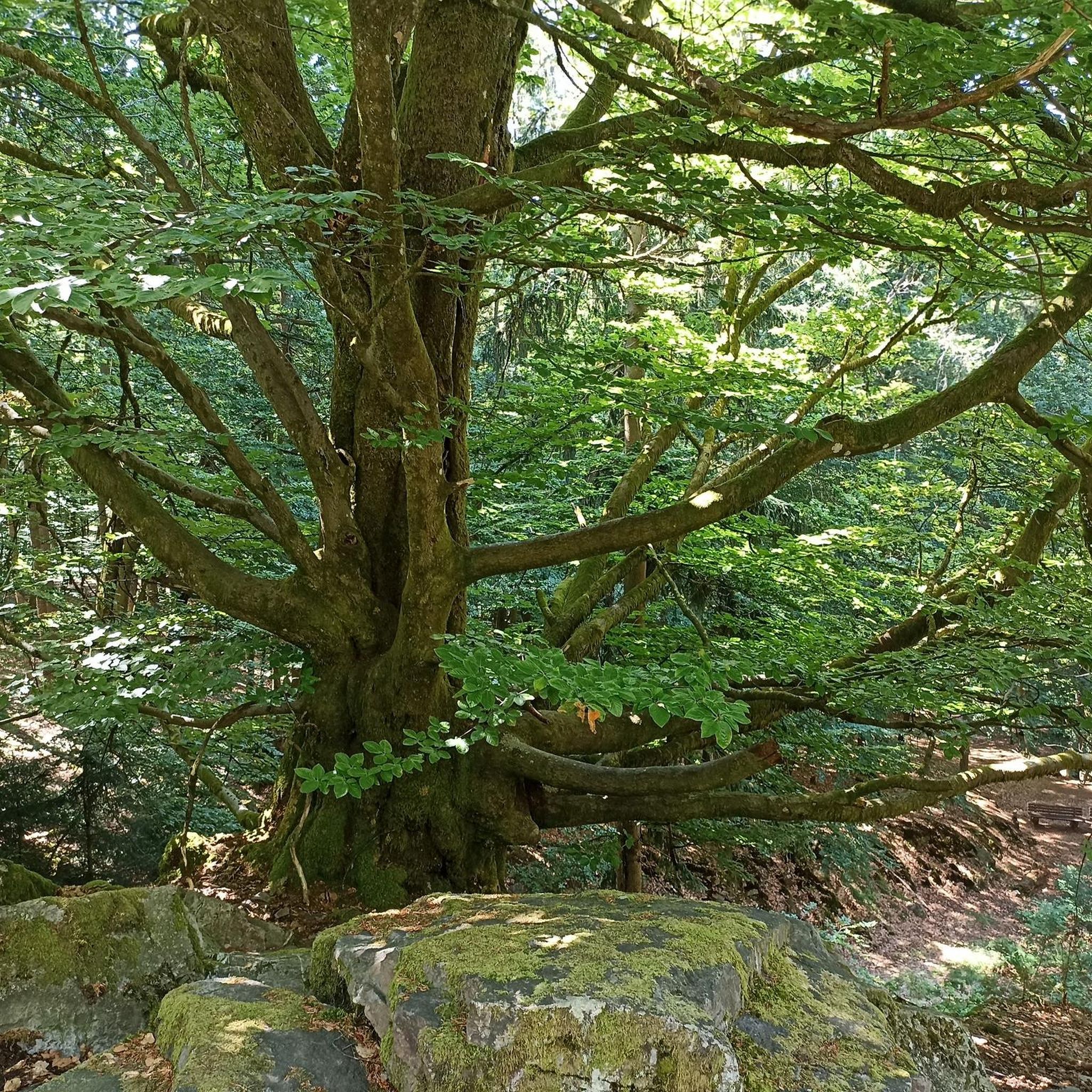
Hikes from bus stations around Mindelheim
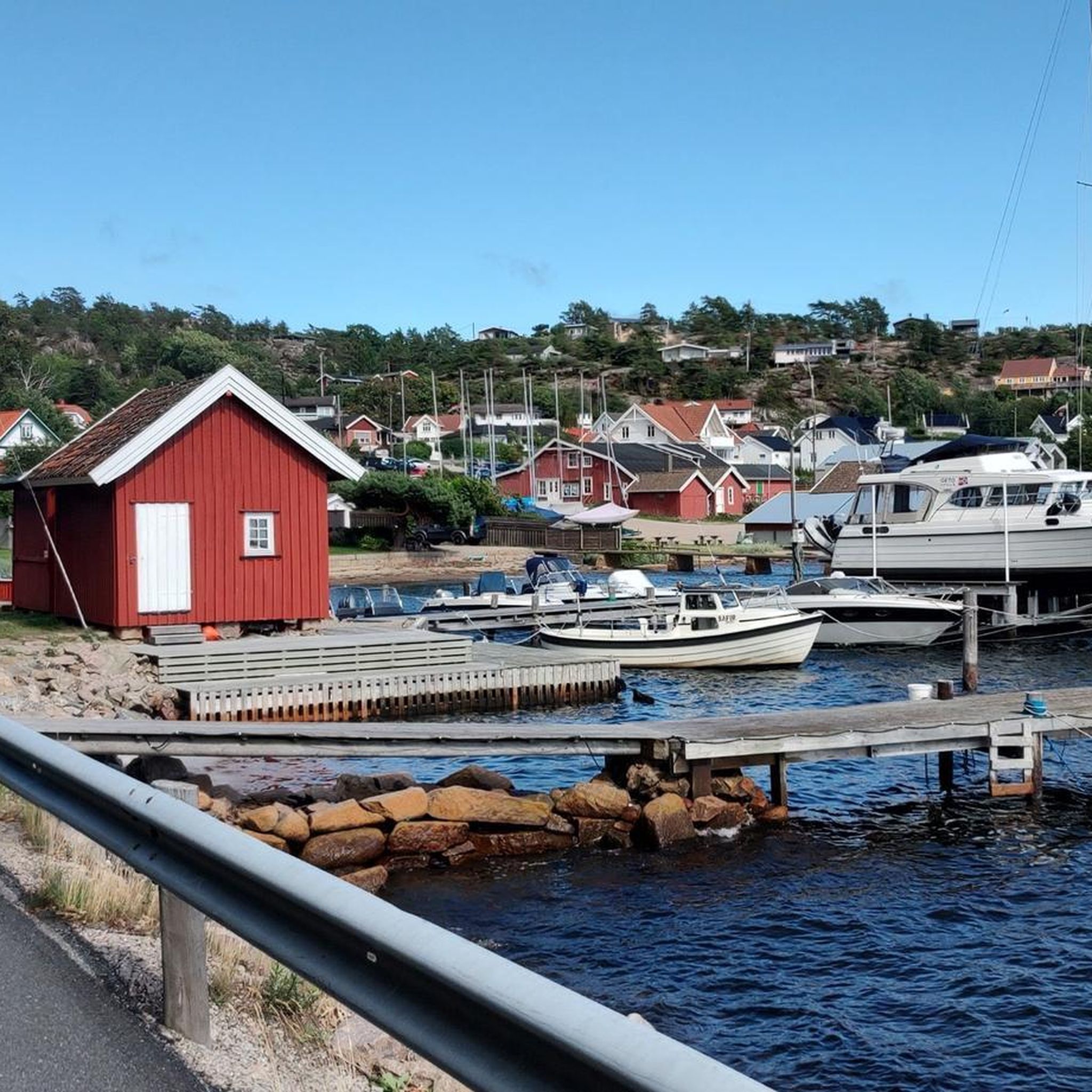
Hikes from bus stations in Wörishofener Wald

Hikes from bus stations in Memminger Stadtwald
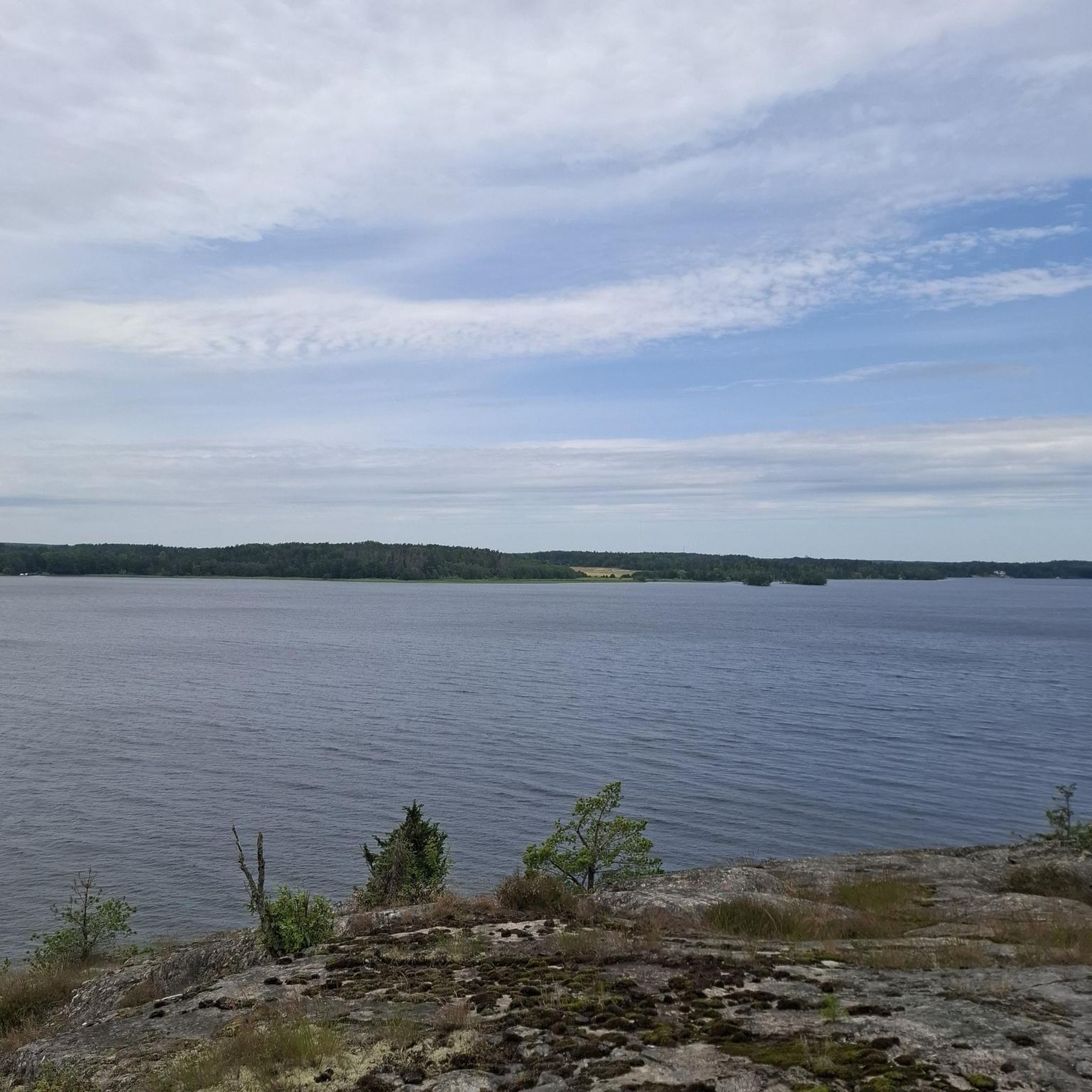
Hikes from bus stations in Hochfirst

Hikes from bus stations around Frankenhofner Lake
Other adventures in Unterallgäu


Tips from the Community

It's not quite as busy here as on the main path, but very beautiful.
0
0
A steep climb that is rewarded with a beautiful view.
0
0

The wooden staircase is one of the most beautiful sections amidst the stunning natural surroundings. Sturdy footwear is recommended for the hike, and extra caution is advised, especially in wet weather.
1
0

Numerous wooden steps lead uphill and downhill – sometimes through dense vegetation, sometimes with unobstructed views of the Iller River and the barrage near Rotkreuz. The path is easy to walk on, especially in dry weather, but can become slippery and muddy in rain.
7
0
The path offers wonderful views of the river and the surrounding area.
6
0
A particularly beautiful view of the Iller barrage can be found from the Iller Experience Bridge. Here, an approximately 80-meter-long suspension bridge connects the banks and leads directly to a 20-24-meter-high observation tower, from which you can overlook the Iller and the barrage, including the fish ladder.
5
0
The blue suspension bridge spans the river near Rotkreuz and offers an exciting crossing with a gentle sway – a popular photo spot and stop for hikers. Directly next to it is a freely accessible observation tower, from which you can enjoy magnificent views of the Iller and the surrounding landscape. Both locations are easily integrated into a circular hike and offer a beautiful combination of nature experience and views.
7
0
The suspension bridge spans the river near Rotkreuz and offers an exciting crossing with a gentle sway – a popular photo spot and stop for hikers. Directly next to it is a freely accessible observation tower, from which you can enjoy magnificent views of the Iller and the surrounding landscape. Both locations are easily integrated into a circular hike and offer a beautiful combination of nature experience and views.
5
0
Frequently Asked Questions
How many bus station hiking trails are available in Unterallgäu?
Unterallgäu offers a vast network of over 1200 hiking trails accessible from bus stations. More than 700 of these are rated as easy, making the region highly accessible for various skill levels.
Are there easy or beginner-friendly bus accessible hikes in Unterallgäu?
Yes, Unterallgäu is known for its gentle, rolling landscapes, making it ideal for easy and beginner-friendly hikes. Many routes are suitable for those new to hiking or looking for a relaxed stroll. An excellent option is the View of the Iller Dam – View of the Iller River at Rotkreuz loop from Illerwinkel, an easy 5.6 km route offering scenic river views.
Can I find circular hiking routes that start and end at a bus stop?
Absolutely. Many trails in Unterallgäu are designed as circular routes, allowing you to start and finish your hike conveniently at the same bus stop. The Rainbow Bench loop from Bad Grönenbach is a great example, offering an easy 6.7 km circular path.
Are there any family-friendly bus station hikes in Unterallgäu?
Unterallgäu is very family-friendly, with numerous easy trails suitable for children. The region's flatter, hilly landscape and well-maintained paths make it safe and enjoyable for all ages. Consider routes that explore meadows or follow river valleys for a pleasant family outing.
What kind of natural landscapes can I expect to see on these bus accessible trails?
The bus accessible trails in Unterallgäu showcase a diverse landscape of rolling hills, lush green meadows, and dense wooded slopes. You'll also find picturesque river valleys, ancient moraine landscapes, and preserved natural moors. Some routes, like those part of the 'Wasserläufer Route,' feature streams, rivers, and small lakes, offering varied aquatic scenery.
Are there any trails that feature waterfalls or significant water bodies?
While Unterallgäu is not known for dramatic alpine waterfalls, the region's 'Wasserläufer Route' (water runner route) highlights trails winding alongside streams, rivers, and numerous small lakes. These routes offer serene experiences with water playing a central role in the scenery.
What interesting landmarks or attractions can I discover along bus station hiking trails?
Many trails integrate cultural and historical highlights. You can explore historic castles like Mindelburg or Fugger Castle, Kirchheim. The region also features charming churches such as St. Andreas Church, Babenhausen, and unique spots like the Glückserlebnis (Experience happiness) route in Bad Wörishofen, which focuses on Kneipp experiences.
Are there any trails with cafes or places to eat near bus stops?
Yes, several trails pass by or lead to charming eateries and huts where you can refuel. For example, the area features places like Katzbrui Mill or Weber's Organic Hut, providing opportunities for a break and a meal.
What do other hikers enjoy most about hiking in Unterallgäu?
The komoot community highly rates the trails in Unterallgäu, with an average score of 4.5 stars from over 5,400 ratings. Hikers often praise the region's well-maintained paths, the peaceful atmosphere of its meadows and forests, and the accessibility of routes from public transport, making it easy to explore the diverse landscapes.
Are there any longer, more challenging bus accessible routes for experienced hikers?
While many routes are easy to moderate, there are options for more experienced hikers seeking longer distances. The Motzabach Riverside Trail – German Levada loop from Wolfertschwenden is a moderate 15.9 km route, offering a good challenge with varied terrain along the river.
What is the best time of year to hike the bus station trails in Unterallgäu?
The spring, summer, and early autumn months (April to October) are generally the best times for hiking in Unterallgäu. During these periods, the weather is pleasant, the landscapes are vibrant, and all trails are typically accessible. Winter hiking is also possible, especially on cleared paths, but always check local conditions.
Most popular routes in Unterallgäu
Most popular attractions in Unterallgäu

Get inspired with the komoot mobile app


Didn’t find what you were looking for?
Check out more Hikes throughout Unterallgäu below and find the perfect route in your destination.
Explore more
Browse the best Hikes in other regions.
