The best hikes from bus stations in Landkreis Trier-Saarburg
4.5
(27473)
105,354
hikers
1,968
hikes
Bus station hiking trails in Landkreis Trier-Saarburg traverse a diverse landscape where the Eifel, Hunsrück, Moselle, Saar, Ruwer, Kyll, and Sauer rivers converge. The region features romantic river valleys with steep, vineyard-covered slopes, alongside dense forests and rolling hills. Hikers can explore paths along riverbanks, through vineyards, and within extensive woodlands. This varied terrain offers a range of experiences for different activity levels.
Best bus station hiking trails in Landkreis Trier-Saarburg
- The most popular bus station hiking route is Moselsteig…
Last updated: July 11, 2026
4.6
(188)
600
hikers
12.8km
03:30
200m
200m
Moderate hike. Good fitness required. Easily-accessible paths. Suitable for all skill levels.
4.8
(565)
2,183
hikers
10.2km
02:57
250m
250m
Moderate hike. Good fitness required. Mostly accessible paths. Sure-footedness required.

Sign up for free
4.8
(267)
1,011
hikers
22.1km
06:23
560m
560m
Hard hike. Very good fitness required. Easily-accessible paths. Suitable for all skill levels.
4.8
(331)
1,147
hikers
14.4km
03:54
190m
190m
Moderate hike. Good fitness required. Easily-accessible paths. Suitable for all skill levels.
4.5
(177)
561
hikers
11.5km
03:25
330m
330m
Hard hike. Good fitness required. Sure-footedness, sturdy shoes and alpine experience required.
Get access to more routes and recommendations from other explorers.
Sign up for free
Already have an account?
Our route recommendations are based on thousands of hikes, rides, and runs completed by other people on komoot.
Start today with a free account
Your next adventure awaits.
Login or Signup
Popular around Landkreis Trier-Saarburg
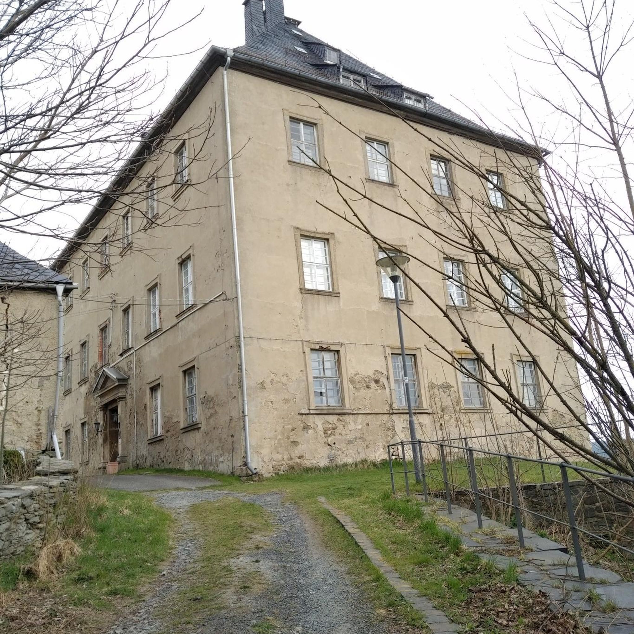
Hikes from bus stations around Saarburg

Hikes from bus stations around Osburger Wald

Hikes from bus stations in Koenigsbachtal Bei Neuhuetten

Hikes from bus stations around Schweich

Hikes from bus stations around Mertesdorf

Hikes from bus stations around Konz
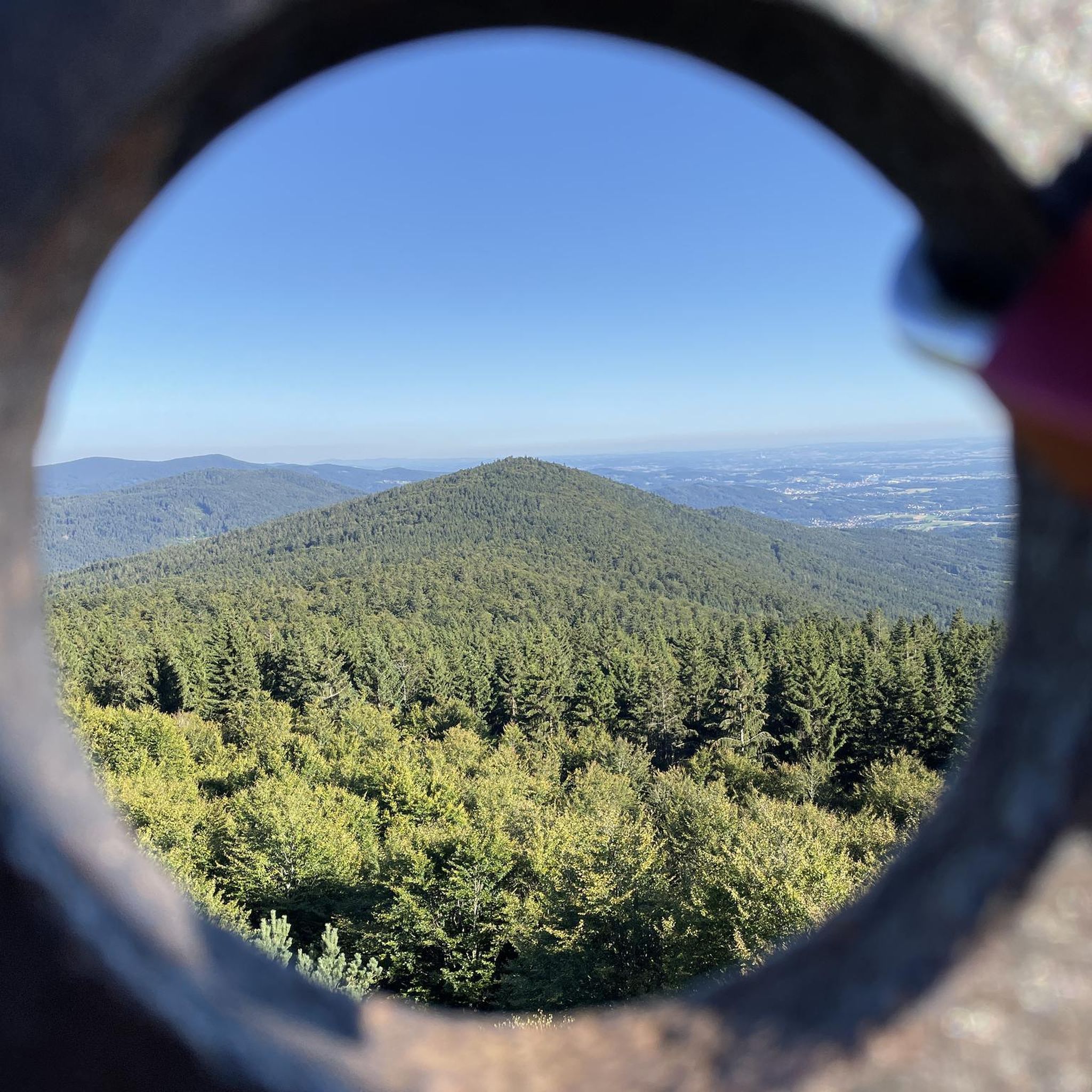
Hikes from bus stations around Ockfen

Hikes from bus stations around Hentern

Hikes from bus stations around Freudenburg

Hikes from bus stations around Waldrach
Other adventures in Landkreis Trier-Saarburg


Tips from the Community

Great cycling route along the Moselle with views of the river and vineyards
0
0

There is a very nice view of the reservoir from the top of the Hunnenring.
0
0

Fountain with stone surround and depiction of a stylized head.
0
0

The Nonnweiler Dam is the largest drinking water reservoir in Saarland and a popular tourist destination. A beautiful circular trail leads directly along the water, offering magnificent views of the reservoir. Especially in summer, the tranquil surroundings invite you to relax and enjoy nature. The clear water and the dense forests surrounding it make this place unique.
3
0

Near the Sauerbrunnen spring, the Moselsteig side trail leads along a beautiful, natural forest path.
1
0

If you don't mind climbing over a few fallen branches, you can walk along the shore the whole time.
0
0

Near the Sirzenicher waterfall you will find this stream crossing with a natural bench (a tree trunk lying across it), where you can simply dangle your feet in the cool water in the current heat, should the watering hole directly at the waterfall be occupied again 💦😊
0
0

Frequently Asked Questions
How many bus-accessible hiking trails are available in Landkreis Trier-Saarburg?
Landkreis Trier-Saarburg offers a vast network of bus-accessible hiking trails. Our guide features over 1900 routes that can be reached by public transport, providing a wide range of options for all skill levels.
Are there easy bus-accessible hiking trails suitable for beginners or families?
Yes, there are numerous easy bus-accessible trails perfect for beginners or families. Over 970 routes are classified as easy, often traversing gentle river valleys like the Moselle or Ruwer, or leading through tranquil forests. These trails allow you to enjoy nature without strenuous climbs.
Can I find circular hiking routes that start and end at a bus station?
Many of the bus-accessible routes in Landkreis Trier-Saarburg are designed as circular walks, allowing you to conveniently return to your starting point. For example, the Züscher Hammer – View of Nonnweiler Dam loop from Neuhütten is a moderate circular route that offers scenic views and is accessible by bus.
What are some of the longer bus-accessible hiking trails in the region?
For those seeking a longer challenge, Landkreis Trier-Saarburg offers several extended bus-accessible routes. The View of the Moselle Valley – Wooden Shelter loop from Longen is a demanding 22 km trail with significant elevation changes, providing expansive views of the Moselle. Another option is the Nonnweiler Reservoir – Nonnweiler Reservoir loop from Neuhütten, a moderate 14 km route around the reservoir.
Are there bus-accessible hikes that feature waterfalls?
Absolutely! The region is home to beautiful waterfalls accessible via bus routes. A notable example is the Sirzenich Waterfall – View of Trier West loop from Gillenbachtal, which takes you past the impressive Sirzenich Waterfall. The Saarburger Wasserfall in Saarburg is also a unique urban waterfall that can be reached by public transport.
Which bus-accessible trails offer scenic viewpoints of the Moselle Valley or other landscapes?
Many bus-accessible trails provide breathtaking panoramic views. Routes along the Moselle and Saar rivers often ascend through vineyards, offering stunning vistas of the river valleys. The Huxlay Hut: View of the Moselle and Mehring is a popular highlight that can be incorporated into several bus-accessible hikes, providing an excellent vantage point.
Can I explore unique rock formations or gorges on bus-accessible hikes?
Yes, the region is known for its fascinating geological features. Areas around Kordel, for instance, offer wild-romantic rock formations and the scenic Butzerbachtal Suspension Bridges and Waterfalls. You can also find the Ewigbachtälchen Gorge and Waterfalls, providing unique natural exploration opportunities on bus-accessible trails.
Are the bus-accessible hiking trails in Landkreis Trier-Saarburg dog-friendly?
Most hiking trails in Landkreis Trier-Saarburg are dog-friendly, provided your dog is kept on a leash, especially in nature reserves or near wildlife. Always check local signage for specific regulations. The diverse landscapes, from forests to riverbanks, offer plenty of enjoyment for you and your canine companion.
What do other hikers enjoy the most about hiking in Landkreis Trier-Saarburg?
The komoot community highly rates hiking in Landkreis Trier-Saarburg, with an average score of 4.56 stars. Reviewers often praise the region's diverse landscapes, from vineyard-covered slopes to dense forests, and the well-maintained network of trails. The accessibility by public transport is also frequently highlighted as a major convenience.
Are there bus-accessible routes that pass by historical sites or cultural landmarks?
Landkreis Trier-Saarburg is rich in history, and many bus-accessible trails incorporate historical elements. You can find routes that follow ancient Roman roads, pass by reconstructed Roman tomb temples like Grutenhäuschen, or lead to historic castle ruins such as Kyll Valley Castle Ruins. The city of Trier itself, an ancient Roman hub, is a starting point for many trails combining nature with history.
Can I find bus-accessible hikes that include a stop at a hut or a place to rest?
Yes, several bus-accessible routes feature huts or designated rest areas. For example, the Moselsteig Side Trail: Longuicher Sauerbrunnen passes by the Longuich sour well and refuge. Other highlights like the Spit-Roast Hall at Schillinger Lake or the Rest area at the Finnenbahn are also accessible and provide convenient spots for a break.
Most popular routes in Landkreis Trier-Saarburg
Most popular attractions in Landkreis Trier-Saarburg

Get inspired with the komoot mobile app


Didn’t find what you were looking for?
Check out more Hikes throughout Landkreis Trier-Saarburg below and find the perfect route in your destination.
Explore more
Browse the best Hikes in other regions.
