The best city hikes and walks in Westlich Raron
4.7
(2809)
17,735
hikers
23
hikes
Urban hiking trails in Westlich Raron traverse the Rhone Valley, offering views of terraced vineyards and historic structures. The region's landscape features a mix of urban areas and their immediate surroundings, including river paths and routes near railway lines. Hikers can explore areas with sub-Mediterranean flora and observe engineering marvels integrated into the environment.
Best urban hiking trails in Westlich Raron
- The most popular urban hiking route is View of Visp and Eyholz – Visperi Suone Trail near Visp loop…
Last updated: August 21, 2026
4.0
(5)
17
hikers
Moderate hike. Good fitness required. Mostly accessible paths. Sure-footedness required.
4.0
(4)
24
hikers
4.72km
01:12
10m
10m
Easy hike. Great for any fitness level. Easily-accessible paths. Suitable for all skill levels.

Sign up for free
5.0
(1)
8
hikers
9.39km
02:53
270m
270m
Moderate hike. Good fitness required. Mostly accessible paths. Sure-footedness required.
5.0
(1)
15
hikers
3.17km
00:48
10m
10m
Easy hike. Great for any fitness level. Easily-accessible paths. Suitable for all skill levels.
8
hikers
3.51km
00:53
10m
10m
Easy hike. Great for any fitness level. Easily-accessible paths. Suitable for all skill levels.
Get access to more routes and recommendations from other explorers.
Sign up for free
Already have an account?
Our route recommendations are based on thousands of hikes, rides, and runs completed by other people on komoot.
Start today with a free account
Your next adventure awaits.
Login or Signup
Popular around Westlich Raron
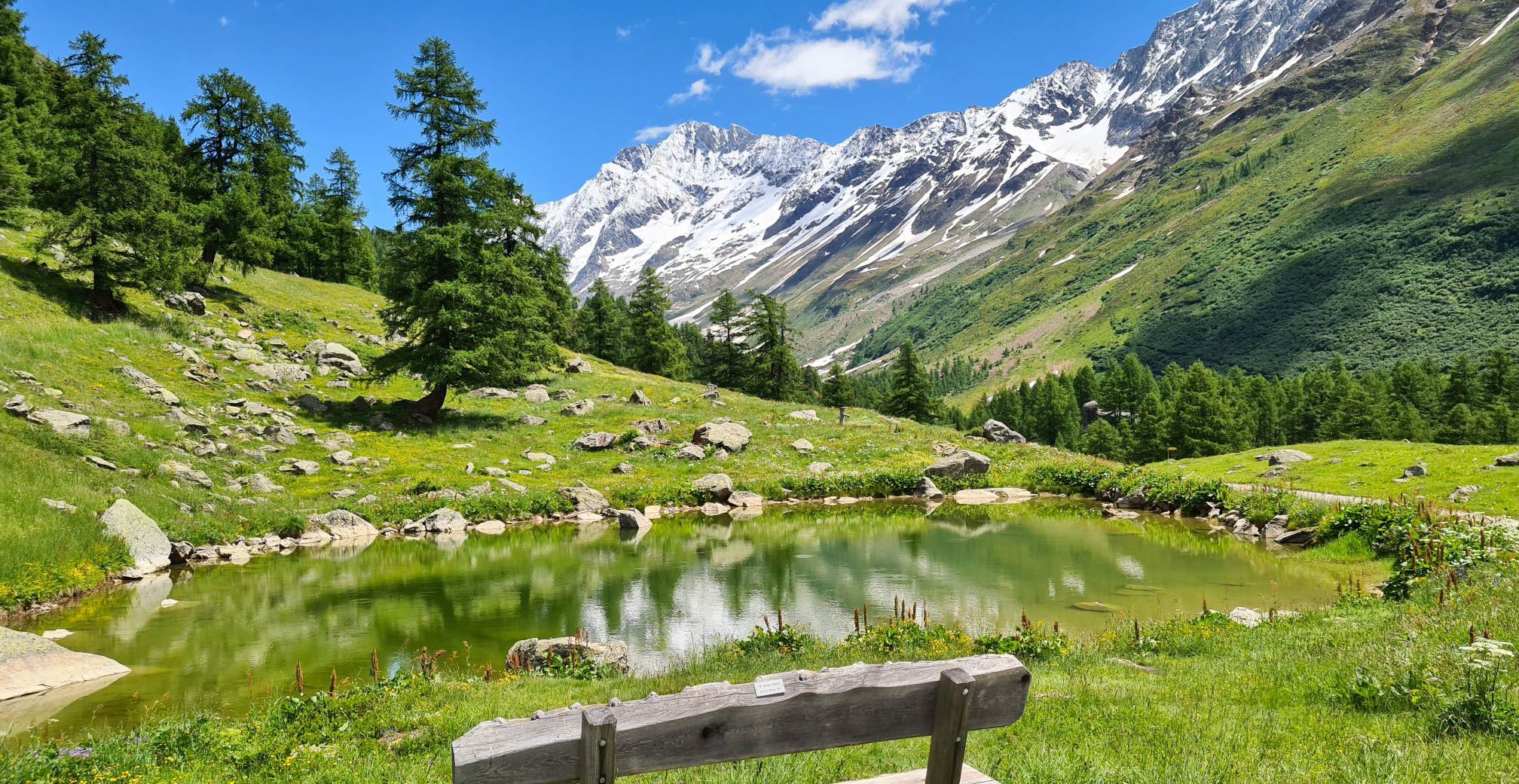
Lötschberg Panorama Trail – 4 days of alpine views in Switzerland
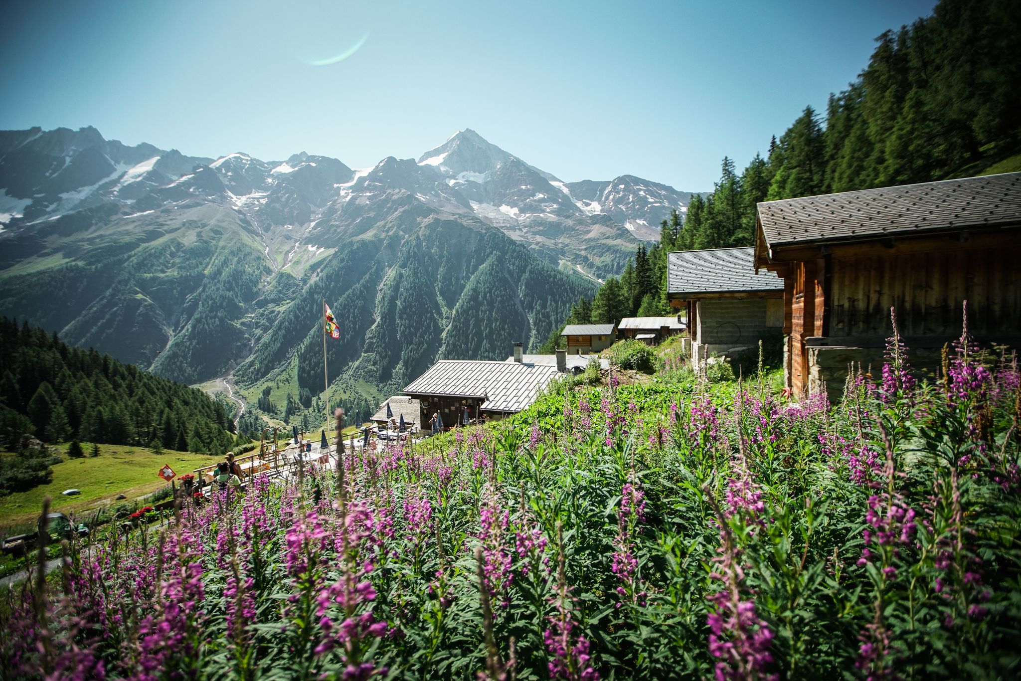
On the bright side of life – hiking the Valais Sun Trail
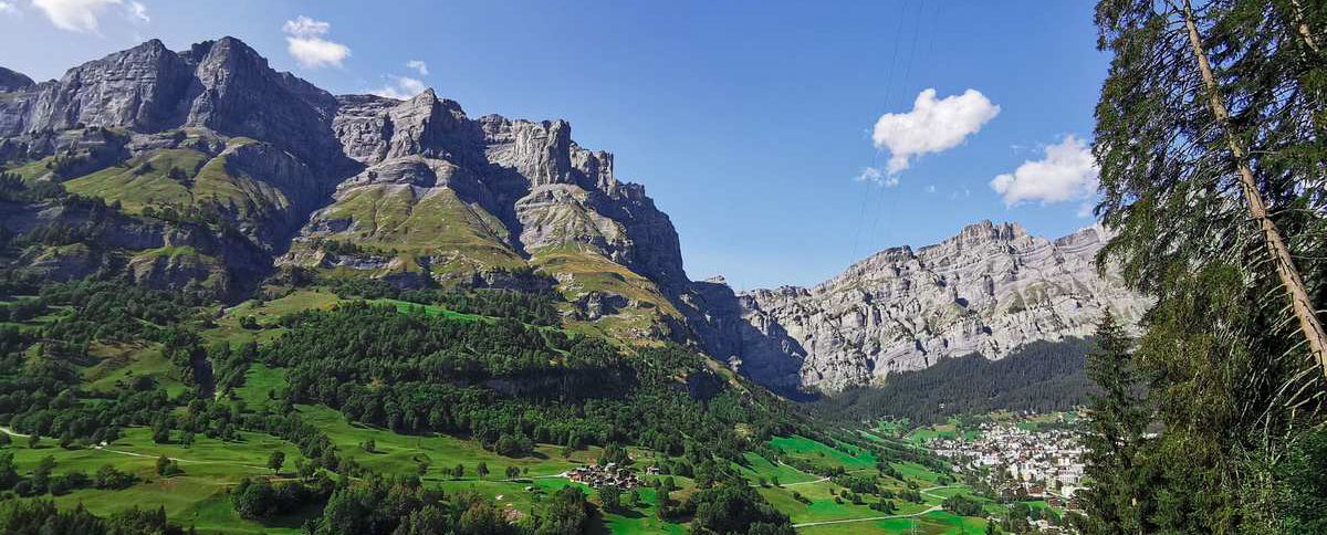
Mountain air, myths and beauty – hiking in the Lötschental
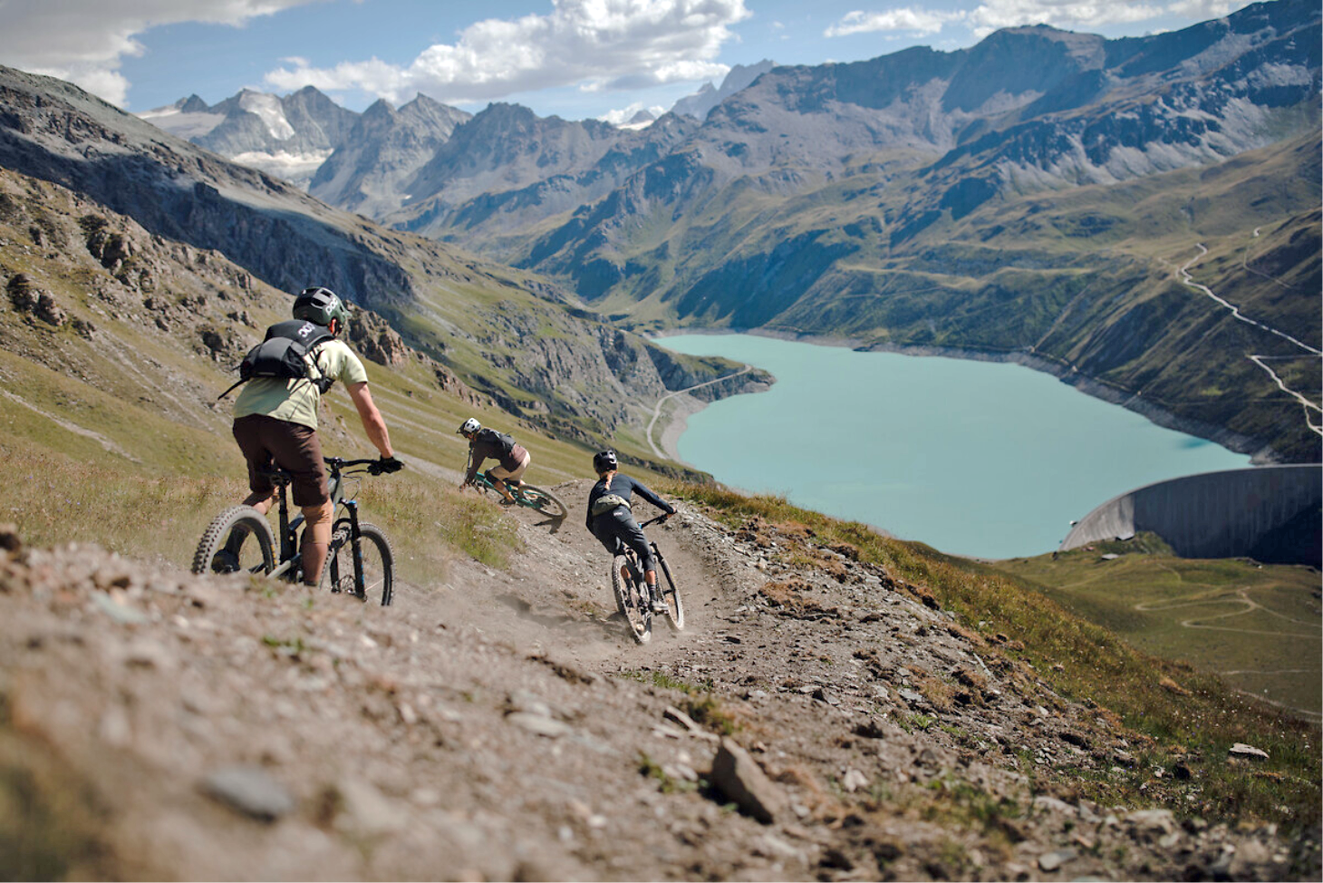
The most beautiful trails in Valais through the Alps – Valais Alpine Bike
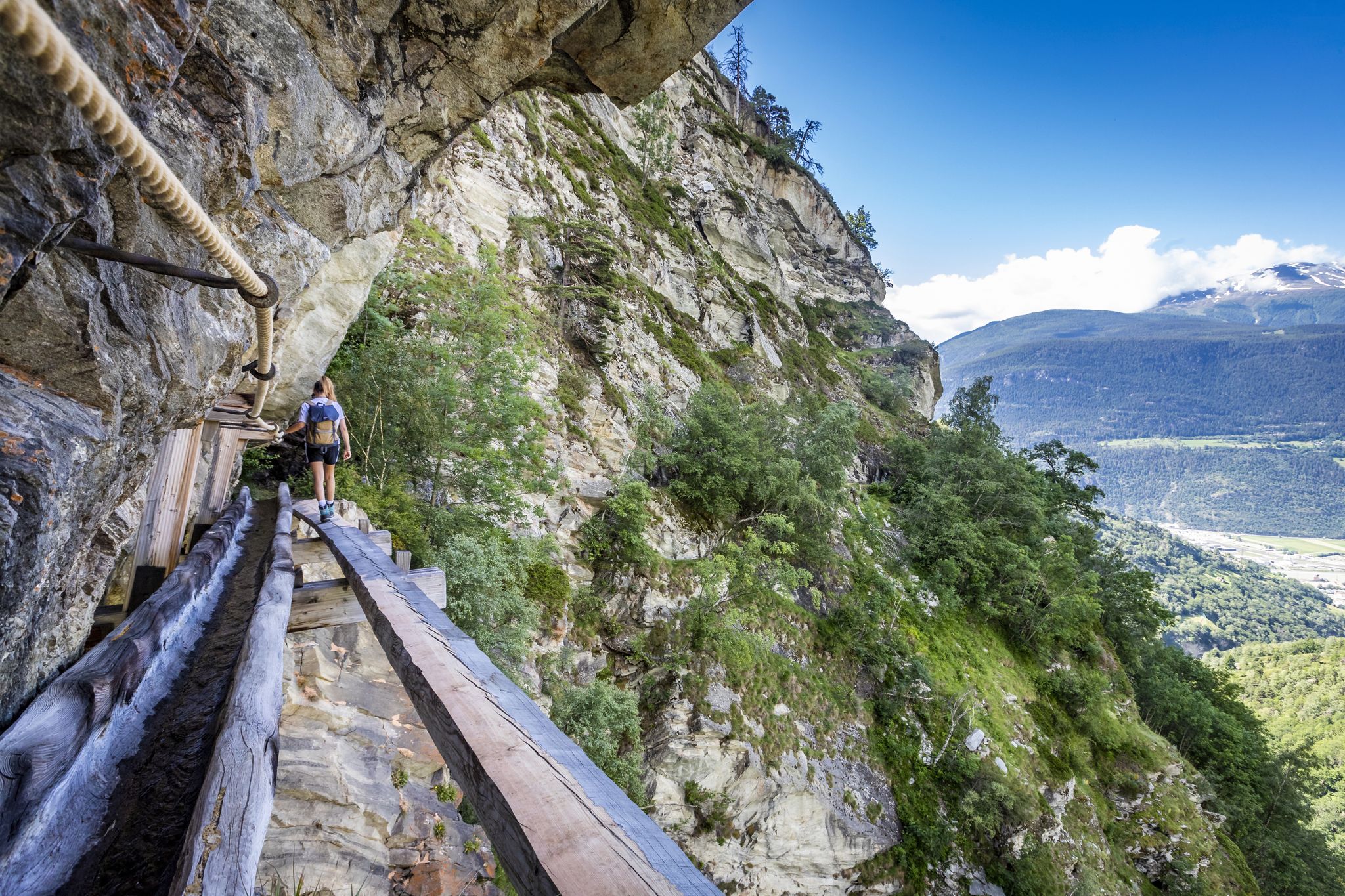
Wandervielfalt rund um Visp: Suonen, Gipfel und Panoramawege
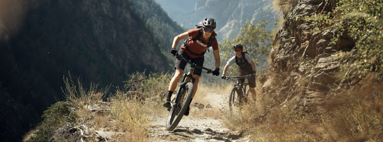
Bike-Eldorado Visp – Zwischen Reben, Felsen und Gipfeln
Other adventures in Westlich Raron


Tips from the Community

The Ennetbrücke bridge connects the historic district of Ennet with the center of Visp. From the bridge, there is a beautiful view of the milky-turquoise Vispa river, which flows down from the Mattertal and Saastal valleys and merges with the Rhône – also called Rotten in Upper Valais – just a few hundred meters further. Especially in summer, lush flower boxes adorn the bridge railing, adding colorful accents against the impressive mountain backdrop.
0
0
Not far from the train station, this modern bridge spans the Vispa. It connects the two banks for pedestrians and cyclists, while trains of the Matterhorn-Gotthard-Bahn and SBB run immediately next to it. From here, there is a beautiful view of the milky-turquoise glacial water of the Vispa, which flows into the Rhône (also called Rotten in Upper Valais) just a few hundred meters further on. The bridge is a striking crossing between the train station, the residential areas, and the riverside paths along the Vispa.
0
0
The Kleegärten-Nord roundabout immediately catches the eye with its modern art installation. A filigree, red-lacquered steel structure encloses a central pillar and forms a striking eye-catcher in the industrial area of Visp. The facility is complemented by lovingly maintained planting and decorative figures. Those travelling from the train station towards the Vispa and further to the mouth of the Rotten will pass this roundabout on their way through the industrial area. It sets a modern design accent and shows that even traffic structures in Visp can be attractively designed with art and greenery.
0
0
The roundabout at Kleegärtnerstrasse is adorned by a striking sculpture featuring several leopards. Surrounded by flowers and greenery, the colorful animal group stands out clearly from the nearby traffic artery and the Valaisian mountain backdrop. The distinctive roundabout is located on the path from the train station through the industrial area towards Visp and the confluence into the Rotten.
0
0
The modern bridge over the Rotten connects the two banks of the Rhône valley and, in addition to the roadway, has a separate cycle path and footpath. From here, a wide view opens up downstream. On the left bank, the Vispa flows into the Rotten, bringing the milky-turquoise glacier water from the Mattertal and Saas valley into the largest river in Wallis. The surrounding mountains and the broad Rhône valley shape the landscape. Despite the nearby traffic and commercial facilities, this viewpoint impressively conveys the vastness of the main Wallis valley and the confluence of two important Alpine rivers.
0
0
Visp train station is one of the most important transport hubs in Valais. Here, trains from the Lötschberg and Simplon lines meet the Matterhorn Gotthard Bahn, which takes travelers on to Zermatt, Brig, or Andermatt. Since the opening of the Lötschberg Base Tunnel in 2007, the modernly designed station has gained considerable importance. Thanks to the fast connections, Visp is now the central gateway for visitors to the Mattertal, Saastal, and many other Valaisan alpine regions. For me, the station was both the starting and ending point of my multi-day stay in Valais – the journey towards Zermatt began here and ended here after unforgettable days around the Matterhorn.
0
0
West of Visp station, the Vispa flows into the Rhône, which in German-speaking Upper Valais is traditionally called the Rotten. The approximately 8.5-kilometer-long Vispa is formed in Stalden by the confluence of the Mattervispa from the Mattertal valley and the Saaservispa from the Saas valley. Both tributaries carry milky-turquoise water from the glacier-covered high mountain regions around Zermatt and Saas-Fee. After its short course through the Vispertal valley, the Vispa finally joins the significantly wider Rotten. From here, the water continues its journey through the Valais and Lake Geneva, before the Rhône flows on through France to the Mediterranean Sea. The confluence is also a beautiful viewpoint and a fitting place to say goodbye to the Valais once more after a hike through the mountain world around Zermatt. It impressively shows how the water from the Valais Alps shapes the valleys and landscapes far beyond the high mountains.
0
0
Directly at the Visp train station, the "Le Dieu de Viège" greets visitors. The bronze figure is a copy of an approximately 1,700-year-old Gallo-Roman statuette found on Visp soil. The fountain was donated by the Visp community in 1994 and commemorates the long history of the place. As a symbol of fertility and prosperity, the "God of Visp" uniquely combines the Roman past with the present-day cityscape.
0
0
Frequently Asked Questions
How many urban hiking trails are available in Westlich Raron?
Westlich Raron offers a good selection of urban hiking trails, with 23 routes currently available. These include 16 easy and 7 moderate options, ensuring there's something for various fitness levels.
What makes urban hiking in Westlich Raron unique?
Urban hikes in Westlich Raron offer a distinctive blend of natural beauty and historical engineering. You'll find trails with expansive views over the Rhone Valley, paths alongside ancient irrigation channels known as 'bisses', and routes that provide glimpses of the impressive Lötschberg railway line, including structures like the Luogelkin Viaduct.
Are there any family-friendly urban hikes in Westlich Raron?
Yes, many of the urban trails in Westlich Raron are suitable for families. With 16 easy routes, you can find pleasant walks that are not too strenuous. The Vispa River loop from Visp is a short, easy option perfect for a family stroll, offering a gentle path along the river.
Can I bring my dog on urban hikes in Westlich Raron?
Yes, dogs are generally welcome on urban hiking trails in Westlich Raron. It's always recommended to keep your dog on a leash, especially in populated areas or near wildlife. The Vispa River – Visp railway station loop from Visp is an easy, flat route that can be enjoyed with your canine companion.
Are there any circular urban walks in Westlich Raron?
Yes, Westlich Raron features several circular urban walks, which are convenient for starting and ending at the same point. The Visperi Suone Trail near Visp loop from Visp is a moderate circular route that offers views of Visp and Eyholz while following a historic 'Suone'.
What kind of landmarks or natural features can I expect to see on urban hikes?
Urban hikes in Westlich Raron often lead you past interesting sights. You might encounter historic bisses, offering a glimpse into traditional irrigation. Some trails provide views of the dramatic Joli Gorge, or pass by cultural sites like the St. Romanus castle church and the unique rock-hewn church of St. Michael in Raron. The region's sub-Mediterranean flora and terraced vineyards also add to the scenic appeal.
What is the best time of year for urban hiking in Westlich Raron?
The best time for urban hiking in Westlich Raron is typically from spring through autumn. During these seasons, the weather is generally pleasant, and the landscapes are vibrant, from blooming vineyards to lush valleys. While some trails may be accessible in winter, it's advisable to check local conditions for snow or ice, especially on higher sections.
Are there cafes or places to eat near the urban hiking trails?
Yes, many urban hiking trails in Westlich Raron are close to towns and villages like Visp, where you can find various cafes, restaurants, and shops. For example, routes like the Visp Town Center – Visp railway station loop from Visp will take you directly through areas with amenities.
What do other hikers enjoy most about urban hiking in Westlich Raron?
The komoot community highly rates urban hiking in Westlich Raron, with an average score of 4.7 stars. Hikers often praise the well-maintained paths, the stunning views over the Rhone Valley, and the unique combination of natural beauty with historical and engineering marvels like the bisses and railway structures. The accessibility and variety of easy to moderate routes are also frequently highlighted.
Is public transport available to access urban hiking trails in Westlich Raron?
Yes, Westlich Raron is well-served by public transport, particularly the railway. Many urban trails, especially those around Visp, are easily accessible from train stations. For instance, the Visp railway station – Obere Bahnhofstrasse loop from Visp starts directly from the station, making it convenient for those relying on public transport.
Are there any viewpoints along the urban hiking routes?
Absolutely. Many urban hikes in Westlich Raron offer fantastic viewpoints. Trails often provide expansive panoramas of the Rhone Valley, and you can also find spots with unique perspectives on the historic Lötschberg railway line and its impressive viaducts. The View of Visp and Eyholz – Visperi Suone Trail near Visp loop from Visp is known for its scenic outlooks.
Most popular routes in Westlich Raron
Most popular attractions in Westlich Raron

Get inspired with the komoot mobile app


Explore more
Browse the best Hikes in other regions.
