The best hikes from bus stations in Sankt Moritz
4.6
(5252)
68,795
hikers
25
hikes
Bus station hiking trails in Sankt Moritz offer access to a high-alpine environment in the Engadine Valley. The region is characterized by majestic mountains, glaciers, and numerous crystal-clear lakes such as Lake St. Moritz and Lake Silvaplana. Hikers can explore wild pine forests, flowering mountain meadows, and rugged rock formations, with elevations ranging from valley floors to peaks over 3,000 meters.
Best bus station hiking trails in Sankt Moritz
- The most popular bus station hiking route is Croix de Fer…
Last updated: June 28, 2026
4.5
(2)
9
hikers
15.9km
07:55
1,300m
1,300m
Hard hike. Very good fitness required. Sure-footedness, sturdy shoes and alpine experience required.
4.8
(18)
494
hikers
7.10km
03:00
500m
500m
Moderate hike. Good fitness required. Mostly accessible paths. Sure-footedness required.

Sign up for free
5.0
(2)
91
hikers
18.8km
08:21
1,180m
1,180m
Hard hike. Very good fitness required. Sure-footedness, sturdy shoes and alpine experience required.
5.0
(9)
78
hikers
11.1km
04:56
770m
770m
Hard hike. Good fitness required. Sure-footedness, sturdy shoes and alpine experience required.
38
hikers
12.6km
05:15
840m
840m
Hard hike. Very good fitness required. Mostly accessible paths. Sure-footedness required.
Get access to more routes and recommendations from other explorers.
Sign up for free
Already have an account?
Our route recommendations are based on thousands of hikes, rides, and runs completed by other people on komoot.
Start today with a free account
Your next adventure awaits.
Login or Signup
Popular around Sankt Moritz

Hikes from bus stations around Lac d'Émosson
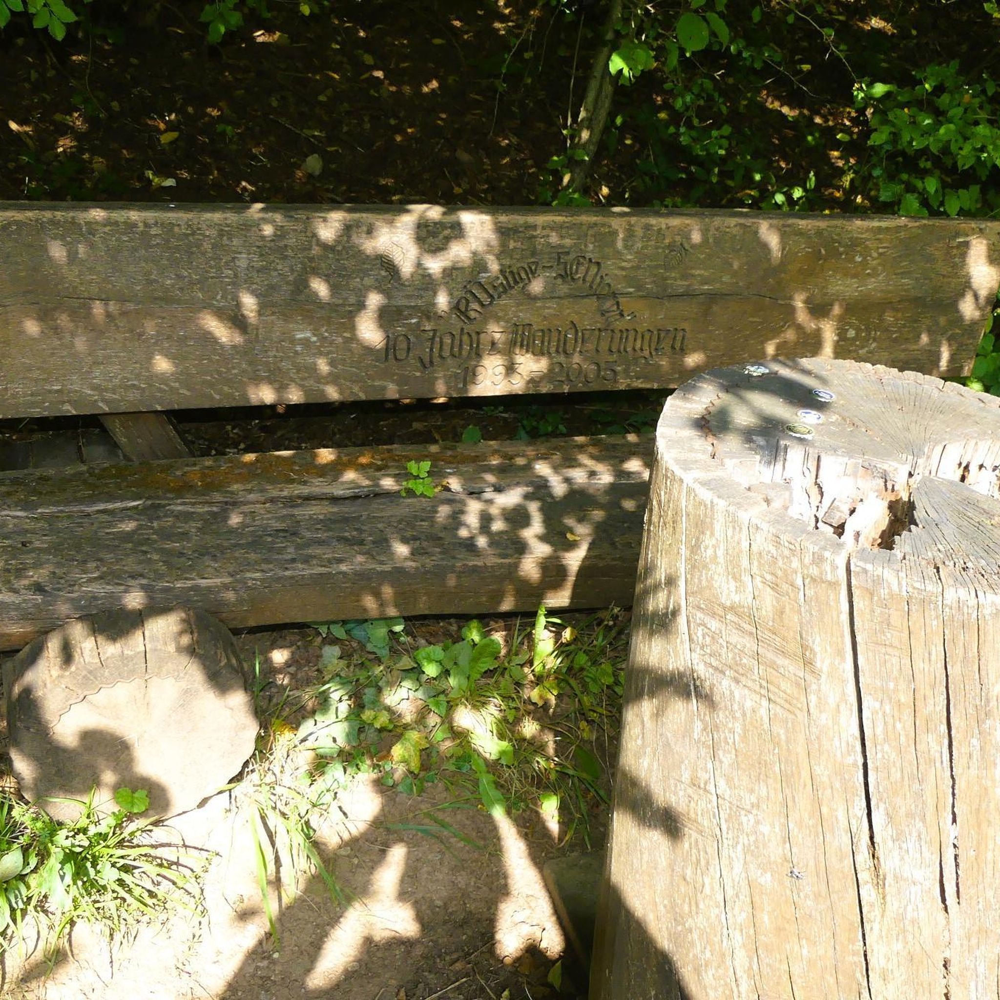
Hikes from bus stations around Lac du Vieux Émosson

Hikes from bus stations around Lac de Salanfe

Alpine Passes Trail – hiking 700km across Switzerland

Alpine Passes Trail in Switzerland – 34 stages of pure mountain fun
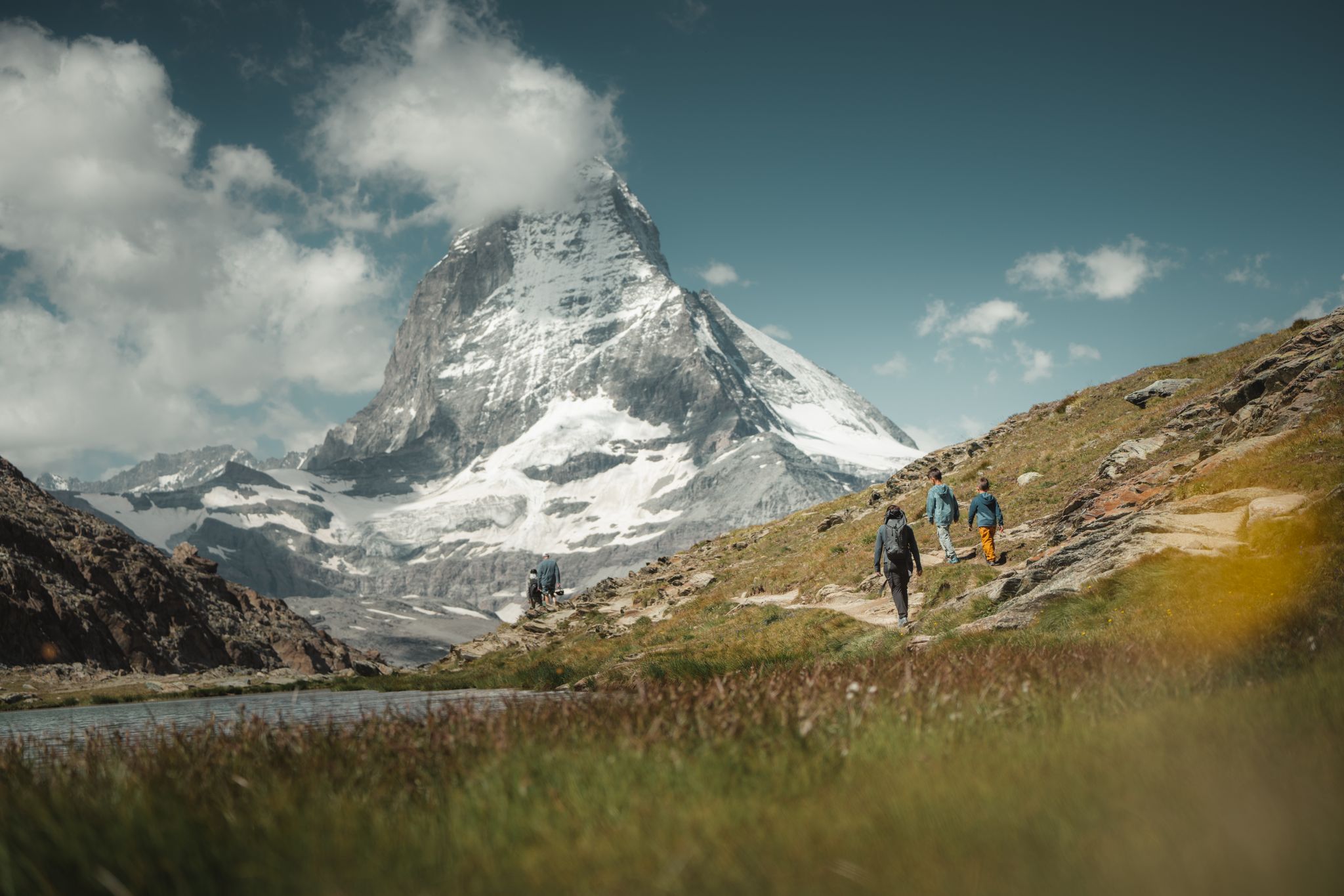
Grandiose glaciers and peaks – panoramic Tours in Switzerland’s Valais
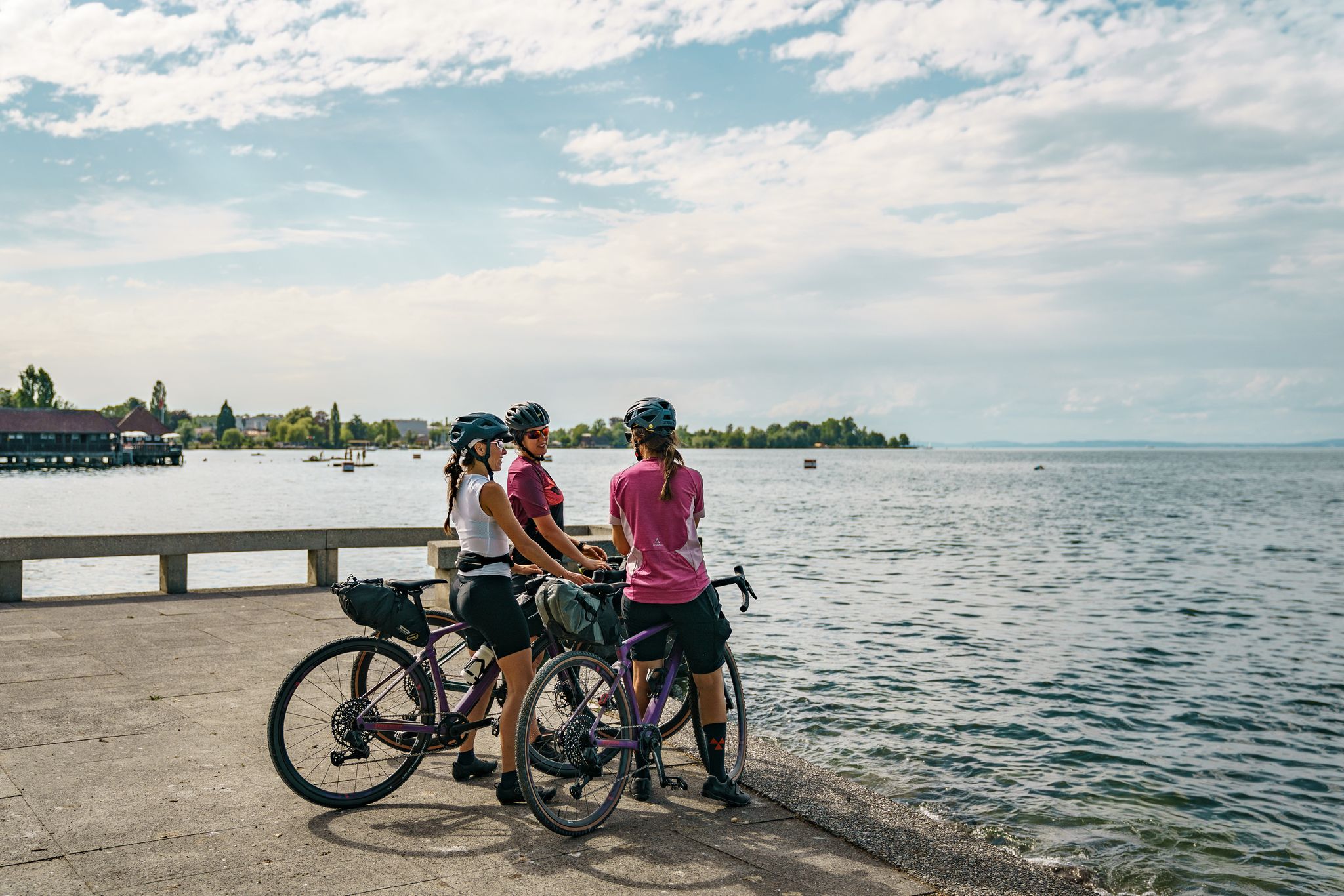
100% Women – beautiful rides by the water
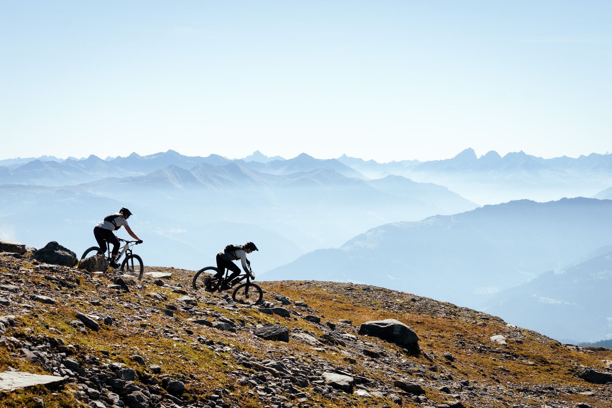
100% Women: the most beautiful MTB routes for every woman
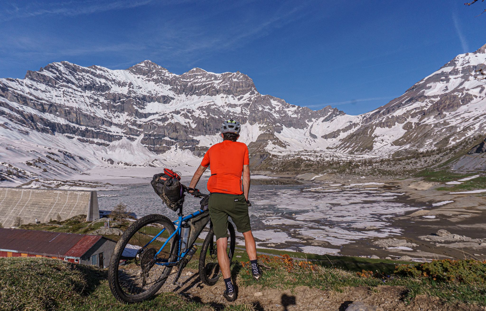
Lac de Salanfe — a bikepacking overnighter from Chamonix
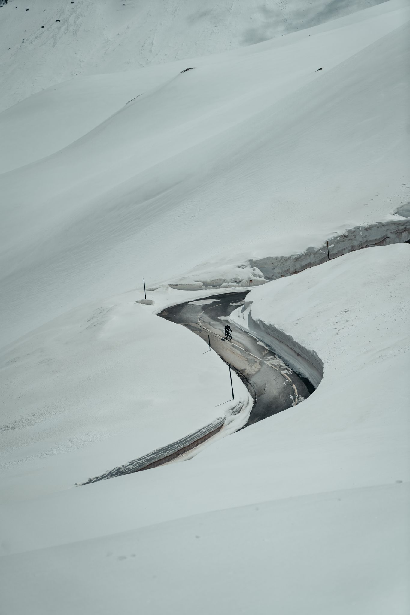
Finding the last bits of snow — early spring riding in the Alps
Other adventures in Sankt Moritz


Tips from the Community

If you're looking for a hidden alpine gem in the Swiss Alps, Lac de Salanfe is a must-visit. Nestled at 1,925 meters above sea level in the canton of Valais, this stunning reservoir offers a peaceful escape surrounded by towering peaks and pristine nature.
0
0

climb from Salvan station and return to Evionnaz station. Great route
0
0


Culminating at an altitude of 2,321 metres, it marks, with the nearby Col de Balme, the bottom of the Chamonix valley to the southwest and rises above Vallorcine to the northwest. Boundary marker no. 3 marks the border which here forms a right angle between the Col de Balme to the southeast and the Plan des Reines to the southwest. The sources of the Arve are located on the sunny side of the mountain, just below the summit. On its shady side is Lake Catogne.
0
0

Former gold and arsenic mines of Salanfe - Le chantier Robert. The Robert mine was the most important workyard of the mining complex of Salanfe. It was composed of two "travers-bancs" and a pit of 40m permitting ventilation and the evacuation of the minerals. A treatment station for the materials, a cantine, and a dormitory for 40 workers were located in the lower part. The working conditions were extremely difficult and rudimentary, but the quality of mineral was remarkable. In all, 1,546 tons of mineral, including 709 tonnes of arsenic and 53 kilograms of gold, were extracted between 1904 and 1928. The altitude of mines is 2195, Komoot and other online maps has an error in height.
0
0
Pay attention about writing message there: Non drinking water
0
0

Frequently Asked Questions
How many hiking trails are accessible directly from bus stations in Sankt Moritz?
There are 27 hiking trails in Sankt Moritz that are easily accessible from local bus stations. These routes offer a variety of experiences, ranging from easy strolls to more challenging mountain ascents.
What is the best time of year to hike from bus stations in Sankt Moritz?
The best time for hiking in Sankt Moritz, especially from bus-accessible trailheads, is generally from late spring to early autumn. During this period, the weather is mild, trails are most accessible, and the mountain meadows are vibrant with nearly 100 species of flowers between June and October.
Are there any easy hiking trails accessible by bus in Sankt Moritz?
Yes, Sankt Moritz offers 3 easy hiking trails that you can reach directly by bus. These routes are perfect for leisurely walks, often leading through enchanting forests or alongside crystal-clear lakes, providing a gentle introduction to the region's natural beauty.
Can I find family-friendly hiking trails accessible from bus stops in Sankt Moritz?
Absolutely. Many trails in Sankt Moritz are suitable for families, offering manageable distances and gentle gradients. Look for routes that explore areas like the Stazerwald trails leading to Lake Staz, or themed paths like the Heidi's Flower Trail, which are often easily reached by public transport and provide engaging experiences for all ages.
Are dogs allowed on hiking trails accessible by bus in Sankt Moritz?
Sankt Moritz is generally very dog-friendly, and most hiking trails welcome well-behaved dogs. It's always recommended to keep your dog on a leash, especially in nature reserves or areas with livestock, and to carry waste bags. Public buses in the Engadine region typically allow dogs, often for a small fee or with a special ticket.
What kind of natural features can I expect to see on bus-accessible hikes in Sankt Moritz?
Hiking from bus stations in Sankt Moritz opens up a world of stunning natural features. You can expect to encounter crystal-clear lakes such as Lake St. Moritz, Lake Silvaplana, and Lake Staz, majestic mountains like Piz Nair and Muottas Muragl, and diverse landscapes including wild pine forests and flowering mountain meadows. Some routes may even offer views of glaciers like Morteratsch.
Are there any circular hiking routes starting from bus stops in Sankt Moritz?
Yes, Sankt Moritz offers several excellent circular hiking routes that are convenient to start and finish at bus stops. These loops allow you to experience diverse scenery without retracing your steps, often passing by lakes, through forests, or offering panoramic viewpoints before returning to a public transport hub.
What do other hikers enjoy most about the bus station hiking trails in Sankt Moritz?
The komoot community highly rates the hiking experiences in Sankt Moritz, with an average score of 4.6 out of 5 stars from nearly 5,000 ratings. Hikers frequently praise the stunning panoramic views, the excellent accessibility via public transport, the well-maintained trails, and the diverse natural beauty, from serene lakes to impressive mountain vistas.
Can I find cafes or restaurants near bus stops at the start or end of hiking trails in Sankt Moritz?
Yes, Sankt Moritz and the surrounding Engadine Valley are well-equipped with amenities. Many bus stops that serve as trailheads are located in or near villages and towns, offering easy access to cafes, restaurants, and mountain huts where you can refuel before or after your hike. Areas like Muottas Muragl, accessible by funicular from a bus stop, also feature restaurants with breathtaking views.
Are there any challenging hikes accessible by bus in Sankt Moritz?
For those seeking a challenge, Sankt Moritz offers 9 difficult hiking trails that are reachable by bus. These routes often involve significant elevation gain and longer distances, leading to higher alpine terrain, offering rewarding views of peaks like Piz Languard or providing access to glacier regions for experienced hikers.
How extensive is the public transport network for accessing hiking trails in Sankt Moritz?
The public transportation system in Sankt Moritz and the Engadine Valley is very extensive and efficient, making it incredibly easy to access a wide range of hiking trails. It includes buses, trains, cable cars, and funiculars, ensuring that many trailheads are directly reachable. Some accommodations even offer free mountain railway tickets to guests, further enhancing accessibility.
Most popular routes in Sankt Moritz

Get inspired with the komoot mobile app


Didn’t find what you were looking for?
Check out more Hikes throughout Sankt Moritz below and find the perfect route in your destination.
Explore more
Browse the best Hikes in other regions.
