The best hikes from bus stations around Baltmannsweiler
4.5
(12575)
58,395
hikers
35
hikes
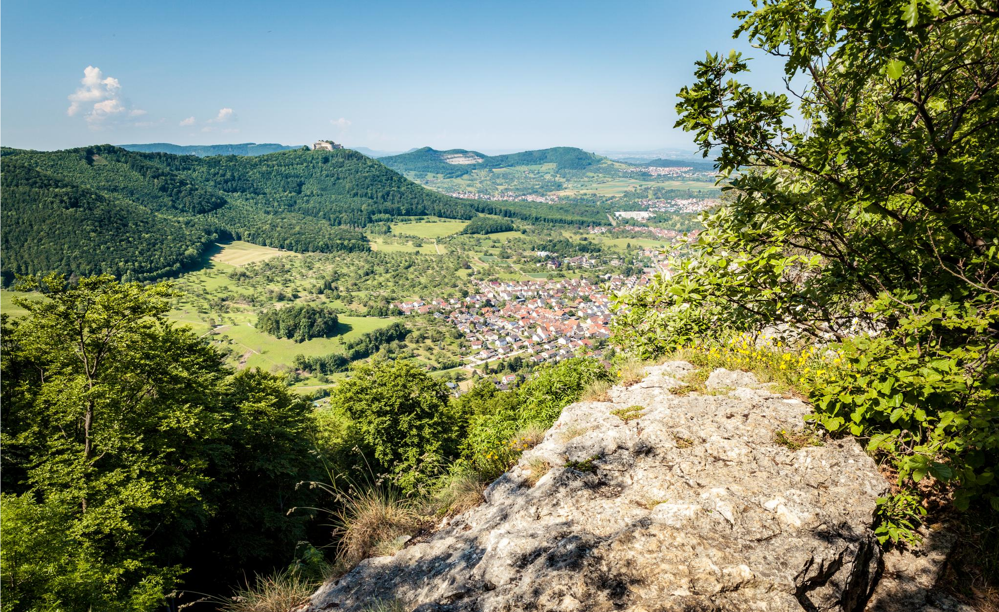
Bus station hiking trails around Baltmannsweiler offer access to a diverse landscape characterized by rolling hills, picturesque valleys, and a mix of forests, fields, and orchards on the Schurwaldhöhe. The region features a well-developed network of trails suitable for various fitness levels. Hikers can explore natural features such as the Baacher Tümpel Wetland Biotope and the meandering Reichenbach stream.
Best bus station hiking trails around Baltmannsweiler
- The most popular bus station hiking route is Baacher Tümpel Wetland Biotope – Path…
Last updated: June 28, 2026
4.5
(55)
202
hikers
Moderate hike. Good fitness required. Easily-accessible paths. Suitable for all skill levels.
4.6
(52)
140
hikers
8.97km
02:32
190m
190m
Moderate hike. Good fitness required. Easily-accessible paths. Suitable for all skill levels.

Sign up for free
4.2
(10)
41
hikers
4.75km
01:22
110m
110m
Easy hike. Great for any fitness level. Easily-accessible paths. Suitable for all skill levels.
3.7
(3)
49
hikers
Easy hike. Great for any fitness level. Easily-accessible paths. Suitable for all skill levels.
4.3
(8)
24
hikers
9.13km
02:33
170m
170m
Moderate hike. Good fitness required. Easily-accessible paths. Suitable for all skill levels.
Get access to more routes and recommendations from other explorers.
Sign up for free
Already have an account?
Our route recommendations are based on thousands of hikes, rides, and runs completed by other people on komoot.
Start today with a free account
Your next adventure awaits.
Login or Signup
Popular around Baltmannsweiler
Other adventures around Baltmannsweiler

Tips from the Community

Imposing specimens of giant sequoias from the so-called "Wilhelma-seed" stand in Baltmannsweiler at the Schlössleseen.
0
0

Beautiful cycle and hiking trail in the Reichenbachtal
0
0

Nicely done and a way to view the meandering Reichenbach stream.
0
0
A beautifully restored collection of old houses. It feels like stepping back 400 years.
0
0

The barbecue area in Weinstadt-Baach consists of just a bench and a grill. It boasts a fantastic location right next to the biotope. The facility can be seen at the end of our video about the Baach trout. https://youtu.be/lEFis00M5So
0
0

Small pond located directly on the cycle path.
1
0

Biotope with walkway for better visibility.
0
0

Frequently Asked Questions
How many bus-accessible hiking trails are there around Baltmannsweiler?
There are over 35 hiking routes around Baltmannsweiler that are easily accessible from bus stations. These trails offer a great way to explore the diverse landscapes of the Schurwaldhöhe without needing a car.
Are there any easy, family-friendly routes accessible by bus?
Yes, Baltmannsweiler offers several easy routes suitable for families. For instance, the Tree Gate – Waterfall at Holderstein loop is an easy 4.75 km hike. The area's well-marked trails, often through forests and past natural features, make them enjoyable for all ages.
Can I find circular hiking routes starting from a bus stop?
Absolutely. Many of the trails around Baltmannsweiler are circular, making them ideal for bus access. The local Schwäbischer Albverein has designated several circular routes, typically ranging from 5 to 10 kilometers, all starting and ending at convenient points, often near public transport hubs. An example is the Baacher Tümpel Wetland Biotope – Path along the Breitenbach loop.
What kind of natural attractions can I see on these bus-accessible hikes?
The trails often lead to beautiful natural features. You can discover the ecological interest of the Tiefklinge (Mittlerer Schurwald), walk alongside the meandering Reichenbach Stream, or visit the Herrenbach Reservoir and Lake Charlotte. Some routes even pass impressive natural monuments like the Four Giant Sequoias near Gschlägwiese.
Are there any routes that feature waterfalls?
Yes, some trails in the region will lead you to beautiful waterfalls. For example, the Tree Gate – Waterfall at Holderstein loop specifically highlights a waterfall. You might also encounter the Grunbach Waterfall on other nearby routes.
What do other hikers say about the bus station trails in Baltmannsweiler?
The hiking trails around Baltmannsweiler are highly regarded by the komoot community, boasting an average rating of 4.5 stars from over 11,800 reviews. Hikers frequently praise the well-maintained paths, the scenic diversity of forests, fields, and valleys, and the excellent accessibility via public transport.
Are there any longer, more challenging routes accessible by bus?
For those seeking a moderate challenge, routes like the Bridge Near Ölmühle – Bannmühle Reichenbachtal loop offer nearly 9 km of hiking with varied terrain and elevation changes. These trails provide a good workout while still being conveniently reachable by bus.
Can I combine shorter routes to create a longer hike?
Yes, the local trail network is designed with flexibility in mind. Many of the designated circular routes, marked with a black number in a yellow square, can be combined to extend your hiking experience and explore more of the Schurwaldhöhe's diverse landscapes.
Are there any viewpoints or unique sights along the trails?
Definitely! One unique highlight is the Remstal Cinema, located at the 'Three Giants' viewpoint. This spot offers panoramic views of the Remstal valley from 26 cinema seats, providing a memorable '3D cinema without a ticket booth' experience. You might also encounter the Bannwald Schachen Information Point with its carved tree faces.
What is the best time of year to hike these bus-accessible trails?
Baltmannsweiler offers enjoyable hiking experiences throughout the year. Spring brings blooming orchards and fresh greenery, while autumn transforms the forests into a spectacle of colors. Summer is perfect for long days on the trail, and even winter can be beautiful with crisp air and potentially snow-dusted landscapes, though some paths might require appropriate footwear.
Are there any trails that follow a stream or river?
Yes, several routes allow you to enjoy the tranquility of walking alongside water. The Breitenbach Stream – Path along the Breitenbach loop is a great example, offering picturesque views of the meandering stream and its surrounding nature.
Most popular routes around Baltmannsweiler
Most popular attractions around Baltmannsweiler

Get inspired with the komoot mobile app


Explore more
Browse the best Hikes in other regions.
