The best hikes from bus stations around Giengen an der Brenz
4.5
(679)
3,176
hikers
120
hikes
Bus station hiking trails around Giengen an der Brenz offer access to the diverse landscapes of the Swabian Jura and the Brenz River Valley. The region is characterized by its distinctive karst topography, including valleys and hills, alongside verdant riverine paths. Hikers can explore varied terrain, from gentle riverside strolls to more challenging routes with notable elevation changes. Natural features like the Eselsburger Tal and viewpoints provide scenic backdrops for outdoor activities.
Best bus station hiking trails around Giengen an…
Last updated: July 11, 2026
4.7
(71)
257
hikers
23.9km
06:23
280m
280m
Hard hike. Very good fitness required. Easily-accessible paths. Suitable for all skill levels.
5.0
(7)
31
hikers
12.3km
03:16
120m
120m
Moderate hike. Good fitness required. Easily-accessible paths. Suitable for all skill levels.

Sign up for free
4.6
(5)
24
hikers
Easy hike. Great for any fitness level. Easily-accessible paths. Suitable for all skill levels.
4.8
(4)
20
hikers
Easy hike. Great for any fitness level. Easily-accessible paths. Suitable for all skill levels.
4.0
(4)
17
hikers
3.96km
01:03
40m
40m
Easy hike. Great for any fitness level. Easily-accessible paths. Suitable for all skill levels.
Get access to more routes and recommendations from other explorers.
Sign up for free
Already have an account?
Our route recommendations are based on thousands of hikes, rides, and runs completed by other people on komoot.
Start today with a free account
Your next adventure awaits.
Login or Signup
Popular around Giengen an der Brenz
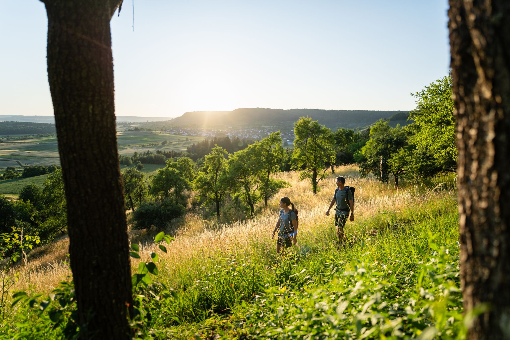
6 Long-Distance Hikes for Your Escape to the Swabian Alb

Discover premium and quality long-distance hiking in southern Germany
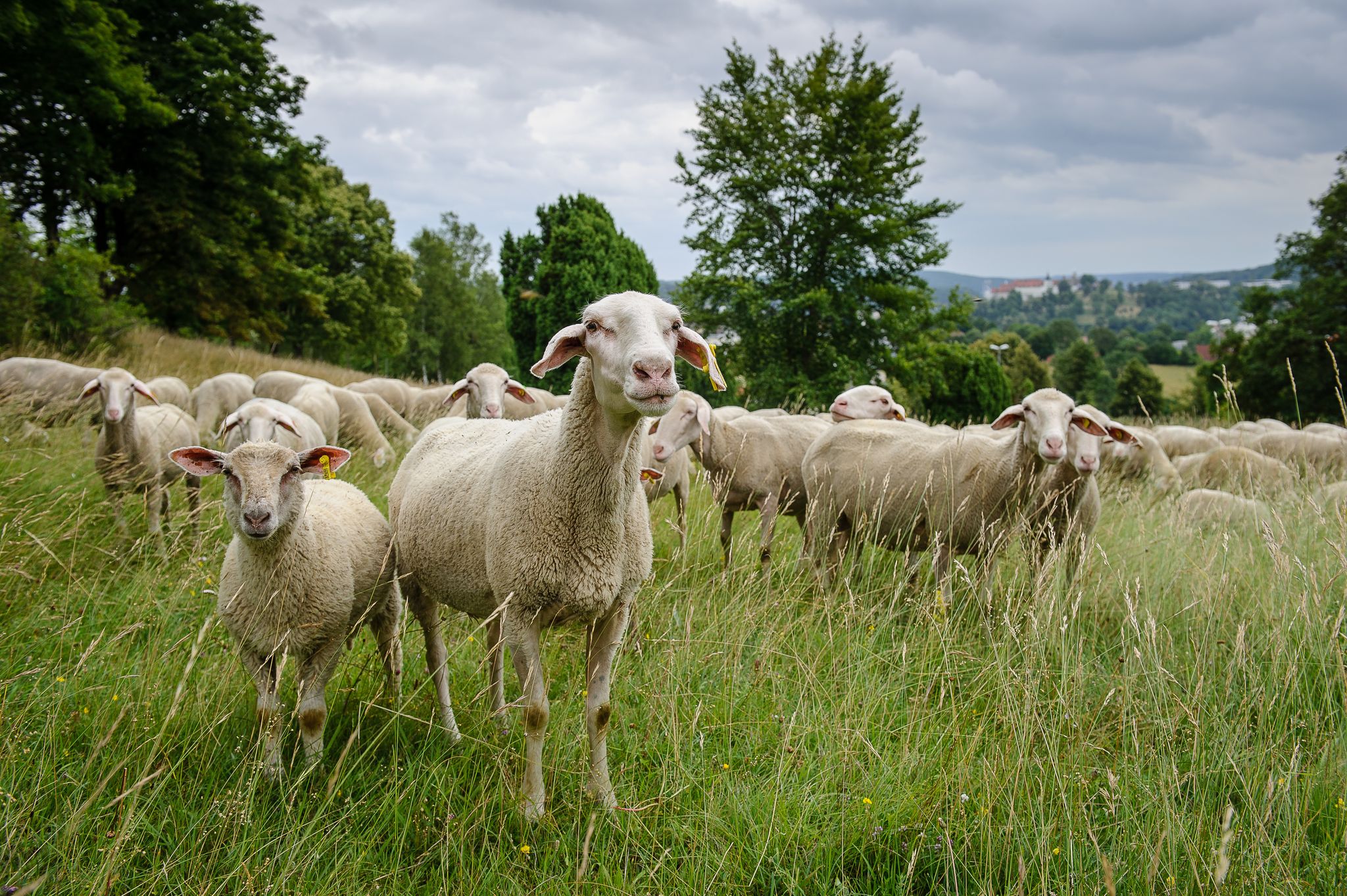
Counting sheep on the Albschäfer Trail
Counting sheep on the Albschäfer Trail
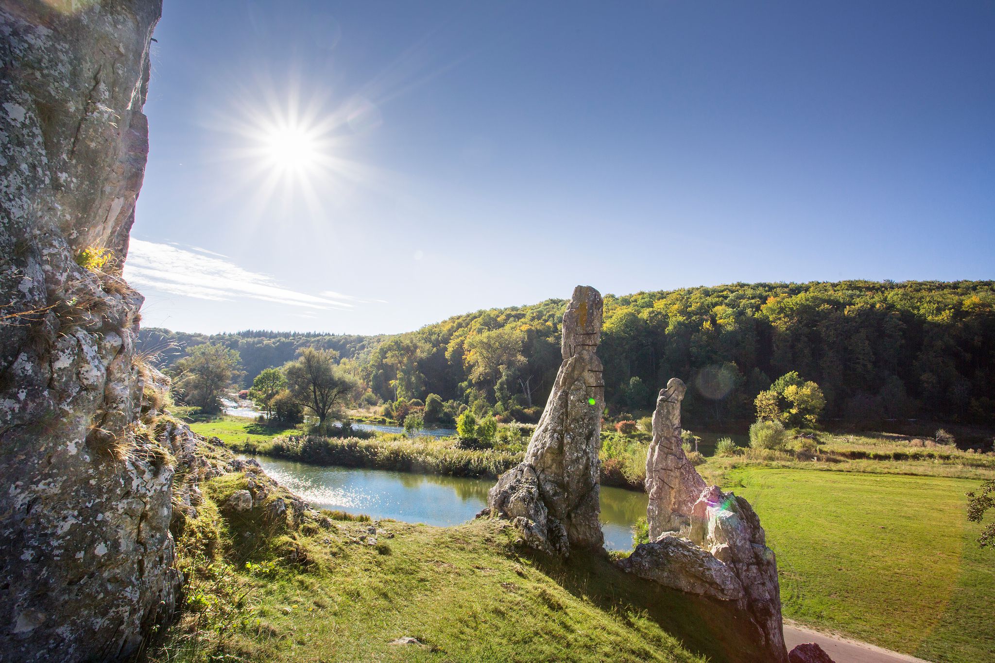
Picturesque valleys on Germany’s Württemberg Valley Cycle Path
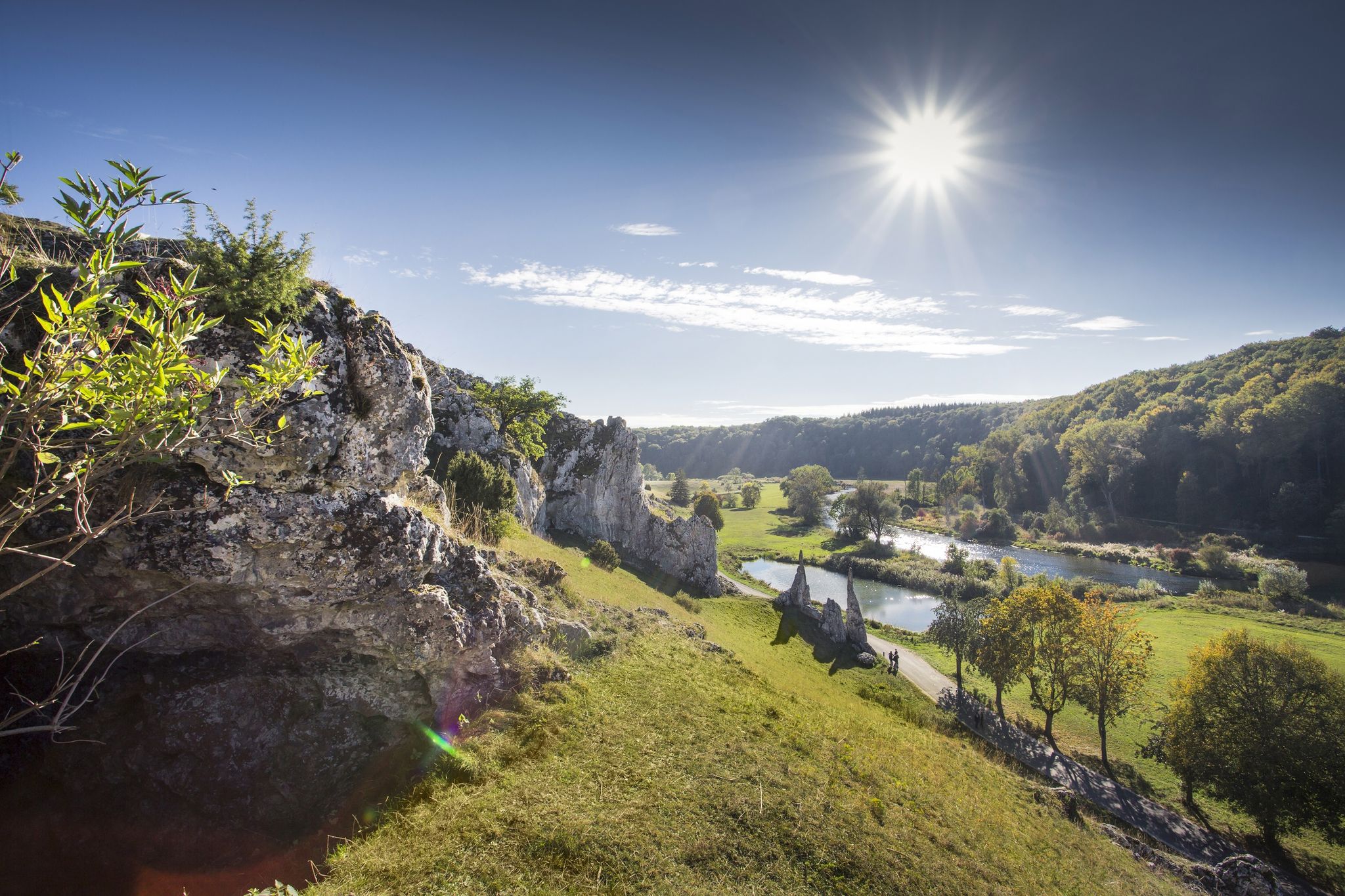
Albtäler Cycle Tour — discover the beautiful valleys of the Swabian Jura
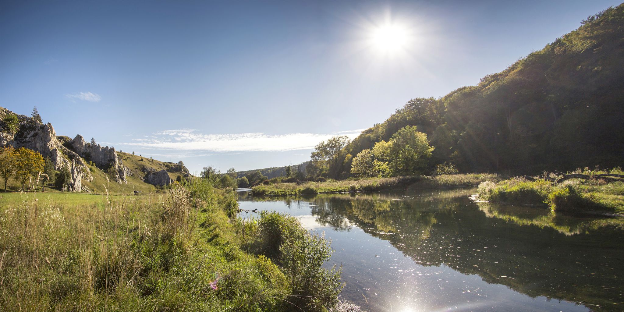
Albtäler Cycle Tour — discover the beautiful valleys of the Swabian Jura
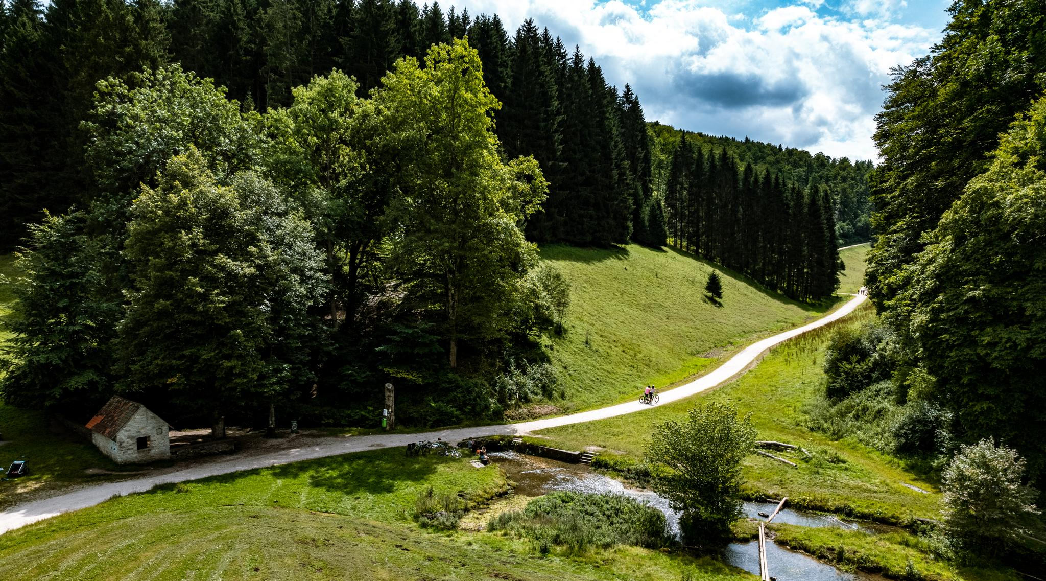
On the Albtäler cycle path through the most beautiful valleys of the Swabian Alb
Other adventures around Giengen an der Brenz


Tips from the Community

It feels enormous...without beginning or end.
0
0
A well-camouflaged facility. Somewhat aged.
0
0
Very far out, no chance without a car
0
0

The Protestant St. Martin's Church in Hohenmemmingen has a tower dating from around 1100, making it one of the oldest buildings in the Heidenheim district. The nave is of a more recent date. Some of the furnishings are from the Baroque period. Two of the three church bells were cast in 1576 and 1586 by the bell founder Wolf Neidthardt of Ulm. The third bell was cast in 1974 in Kochendorf.
0
0
The former town hall of Hohenmemmingen is a brick building dating from 1868 and now serves as a community hall for the Protestant parish. An old town sign from 1876, indicating the town's military affiliation, can also be found here.
0
0
On a clear day, the Alps can be seen on the horizon from this point.
0
0
A boundary stone can be found at the edge of the forest. It marks the border between Bavaria and (Baden-)Württemberg. It probably dates from the beginning of the 19th century.
0
0
The "Geiwitz" hiking parking area is also located here. An information board with hiking suggestions is available.
0
0
Frequently Asked Questions
How many bus-accessible hiking trails are available around Giengen an der Brenz?
There are nearly 130 bus-accessible hiking trails around Giengen an der Brenz. These routes cater to various fitness levels, with 74 easy, 48 moderate, and 7 difficult options to explore the region's diverse landscapes.
What kind of natural features can I expect to see on these bus station hikes?
The region around Giengen an der Brenz, nestled in the Swabian Jura and traversed by the Brenz River, offers a rich variety of natural features. You can explore fascinating karst caves like the Charlottenhöhle, enjoy the scenic Eselsburger Valley along the Brenz River, or discover the tranquil Stone Maidens rock formations. The Itzelberger See also provides a beautiful natural recreation area.
Are there any easy, short circular routes accessible by bus?
Yes, there are several easy and short circular routes perfect for a quick outing. For example, the Charlottenhöhle – Hundsloch Cave loop from Charlottenhöhle is an easy 5.6 km route that takes you through interesting geological formations. Another accessible option is the Green waste collection point, Syrgenstein loop from VVG der Stadt Giengen an der Brenz, which is an easy 6.7 km walk.
What historical landmarks or castles can I visit on a hike from a bus stop?
Many bus-accessible trails offer glimpses of the region's history. You can find routes that pass by impressive structures like Güssenburg or Brenz Castle. The Güssenburg – Burgberg Castle loop from Charlottenhöhle is a longer, more challenging route that specifically incorporates historical castle sites.
Are the bus station hiking trails in Giengen an der Brenz suitable for families with children?
Absolutely! With 74 easy routes available, many of the bus-accessible trails are well-suited for families. These often feature gentle paths through the Brenz River Valley or around the Itzelberger See, providing enjoyable and manageable distances for all ages. Look for routes with lower elevation gain and shorter distances for the most family-friendly experience.
What do other hikers say about the trails around Giengen an der Brenz?
The hiking trails around Giengen an der Brenz are highly rated by the komoot community, with an average score of 4.5 stars from over 640 ratings. Reviewers often praise the diverse landscapes, from river valleys to the foothills of the Swabian Jura, and the accessibility of many routes via public transport.
Can I find trails that offer scenic viewpoints of the area?
Yes, the region boasts several elevated spots that provide panoramic views. While specific bus routes to these exact viewpoints vary, the Swabian Jura offers peaks like the Eisbühl-Gipfelkreuz and the Knillberg, which are known for their vistas. Many trails will lead you through areas with elevated perspectives of Giengen and the surrounding valleys.
Are there any moderate hikes that explore the river valleys?
Yes, you can find moderate hikes that follow the scenic river valleys. The Charlottenhöhle – Path Along the Lone loop from Charlottenhöhle is an 8 km moderate route that takes you along the Lone River, offering beautiful riverside scenery and a manageable challenge.
What is the best time of year to go hiking from a bus station in Giengen an der Brenz?
Giengen an der Brenz offers enjoyable hiking experiences throughout the year. Spring brings blooming wildflowers and fresh greenery, while autumn showcases vibrant fall foliage. Summer is ideal for longer days and warmer weather, and even winter can be beautiful for crisp walks, especially on well-maintained paths. The diverse terrain means there's always something to explore, regardless of the season.
Are there any longer, more challenging bus-accessible routes for experienced hikers?
For experienced hikers seeking a greater challenge, the region offers more demanding routes. The Schmaudersgrube Pond – Kirnberg Hut loop from Giengen an der Brenz is a moderate 12.3 km hike with notable elevation changes. For a truly difficult and extensive adventure, consider the Güssenburg – Burgberg Castle loop from Charlottenhöhle, which spans over 24 km with significant elevation gain.
Most popular routes around Giengen an der Brenz
Most popular attractions around Giengen an der Brenz

Get inspired with the komoot mobile app


Explore more
Browse the best Hikes in other regions.
