The best hikes from bus stations around Bad Überkingen
4.6
(2293)
9,050
hikers
58
hikes
Bus station hiking trails around Bad Überkingen offer access to the diverse landscapes of the Swabian Alb. The region is characterized by its dramatic escarpment, known as the Albtrauf, which features steep cliffs and panoramic viewpoints. Valleys such as Autal and Rötelbach contain dense gorge forests, unique tuff rocks, and numerous springs. Hikers will encounter a mix of beech forests, meadows, and juniper heaths.
Best bus station hiking trails around Bad Überkingen
- The most popular bus station hiking route is…
Last updated: June 28, 2026
4.8
(397)
1,500
hikers
14.6km
04:25
470m
470m
Moderate hike. Good fitness required. Easily-accessible paths. Suitable for all skill levels.
5.0
(25)
104
hikers
18.9km
05:48
620m
620m
Hard hike. Very good fitness required. Mostly accessible paths. Sure-footedness required.

Sign up for free
4.8
(16)
64
hikers
4.11km
01:10
90m
90m
Easy hike. Great for any fitness level. Easily-accessible paths. Suitable for all skill levels.
4.9
(14)
49
hikers
13.4km
04:05
420m
420m
Moderate hike. Good fitness required. Easily-accessible paths. Suitable for all skill levels.
4.9
(17)
47
hikers
11.5km
03:55
570m
570m
Moderate hike. Good fitness required. Easily-accessible paths. Suitable for all skill levels.
Get access to more routes and recommendations from other explorers.
Sign up for free
Already have an account?
Our route recommendations are based on thousands of hikes, rides, and runs completed by other people on komoot.
Start today with a free account
Your next adventure awaits.
Login or Signup
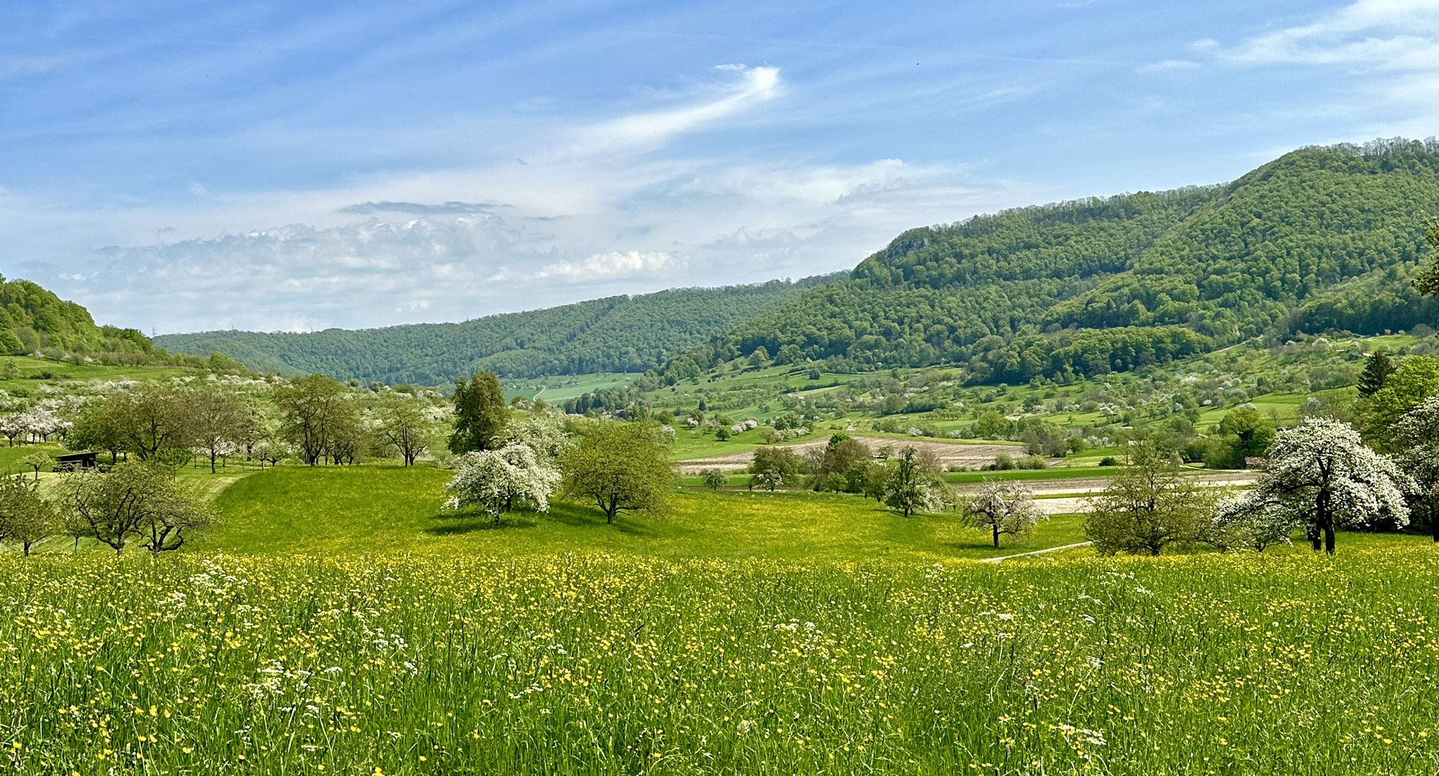
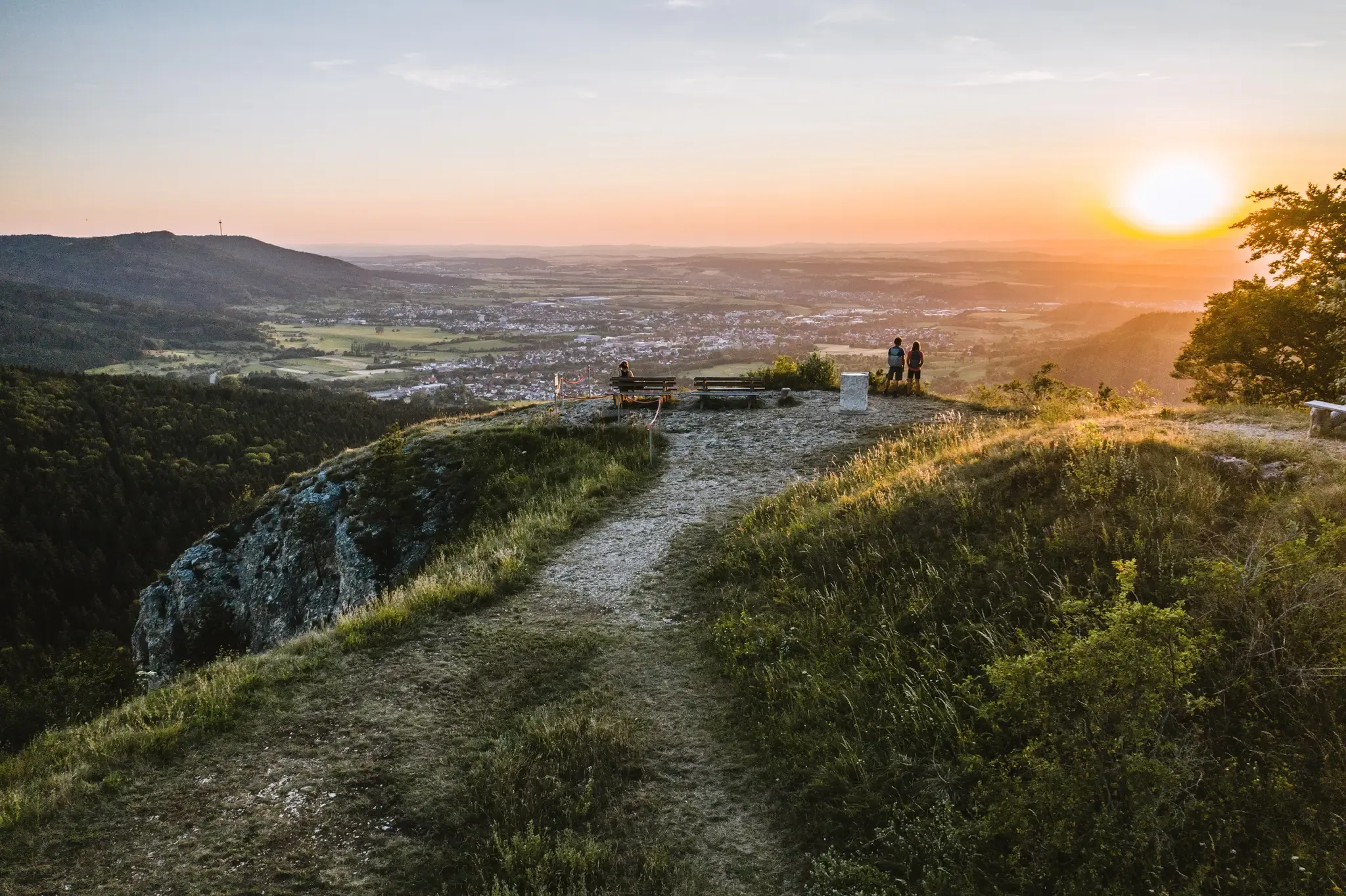
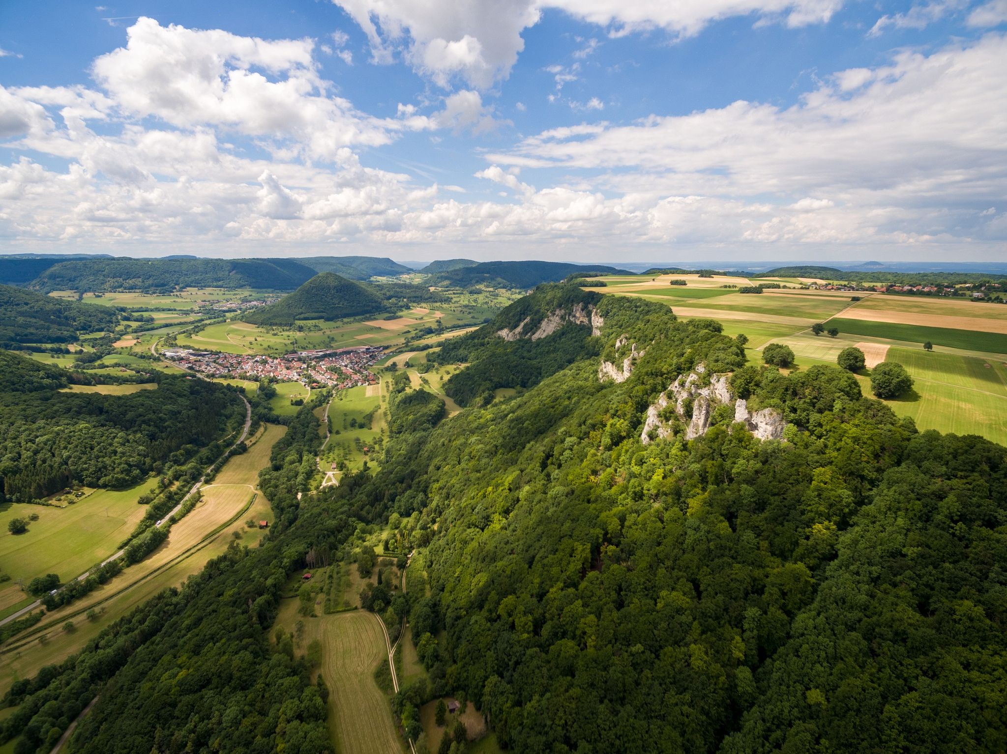
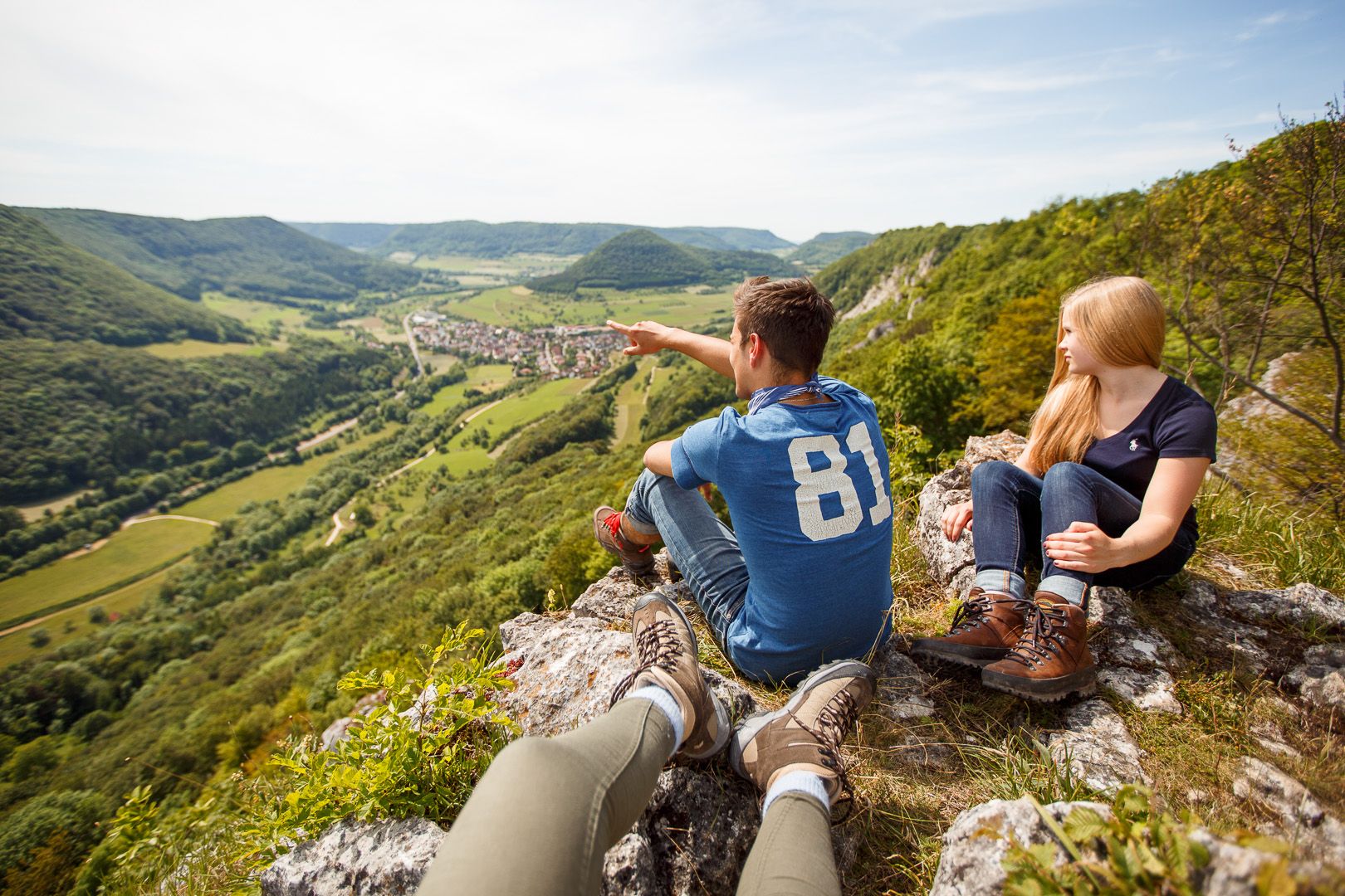
Other adventures around Bad Überkingen


Tips from the Community

Access currently extremely difficult or dangerous due to several fallen beech trees. :-(
1
0
Lined with interesting additions such as the old stone crusher machine with belt drive and an ecological tree socket. Although a top-maintained wellhead, unfortunately no drinking water.
1
0
The Traufweg trail at the Michelberg always runs along the edge of the Tafelberg. Those who are not afraid of heights can repeatedly enjoy deep views from the battlements of the Hausener Wand into the valley.
1
0

Fortunately not. Imagine if there were signs and railings at all the dangerous spots on the Alb. Then not much would be left of the Alb. Recently, near Bad Urach, I was alerted by a sign that there are forest dangers in the woods. Very disturbing.
0
0

Here is a great "Lion Bench" 🦁 you have a dreamlike view of Geislingen/Steige, with the Albtrauf and the Three Emperors Mountains in the background 😀👍
0
0
Art at the village fountain, something different 👍
0
0
Great view into the beautiful Filstal
1
1
Always be careful not to step too close to the edge! There are neither railings nor warning signs, just a steep drop...
0
0
Frequently Asked Questions
How many bus station hiking trails are available around Bad Überkingen?
There are over 45 hiking routes around Bad Überkingen that are easily accessible from bus stations. These trails offer a variety of experiences, from easy strolls to more challenging ascents along the Swabian Alb escarpment.
Are there easy, family-friendly hiking routes accessible by bus in Bad Überkingen?
Yes, Bad Überkingen offers several easy and family-friendly routes. A great option is the View of Hausener Wand – Autal Chapel loop from Bad Überkingen, which is an easy 4.7 km hike. The region's diverse landscapes, including the Autal and Rötelbach valleys with their gorge forests and tuff springs, provide engaging scenery for all ages.
What natural highlights can I expect to see on bus-accessible hikes in Bad Überkingen?
Hikers can discover a wealth of natural beauty. The region is known for its dramatic Swabian Alb Escarpment, romantic valleys like Autal and Rötelbach, and unique geological features such as water-drenched tuff rocks and numerous tuff springs. Keep an eye out for the spectacular 'Märzenbechertraum' (spring snowflake bloom) in early spring, especially in the Autal and Rötelbach valleys.
Are there any waterfalls or caves accessible from bus station trails?
Absolutely! The popular Forest and Water Path Bad Überkingen, which can be reached via public transport, leads past the idyllic forest chapel and through gorge forests. It includes a worthwhile detour to the impressive Autal Waterfall and the Brunnensteighöhle (Brunnensteig Cave).
What are some recommended circular hiking routes starting from a bus stop?
For a moderate circular hike, consider the Hausen Rocks – Hausener Cliff loop from Burgruine Spitzenberg, which covers about 8.3 km. Another option is the longer Hausen Rocks – Hausener Cliff loop from Autal, spanning nearly 13 km, offering varied terrain and views.
What is the best time of year to go hiking around Bad Überkingen?
Bad Überkingen offers beautiful hiking experiences year-round. Early spring is particularly special for witnessing the 'Märzenbechertraum' (spring snowflake bloom) in the Autal and Rötelbach valleys. Summer and autumn provide pleasant temperatures for exploring the diverse forests and panoramic viewpoints along the Albtrauf.
Are there any scenic viewpoints along the bus-accessible trails?
Yes, the region is rich in stunning viewpoints. The Kahlenstein Viewpoint offers splendid views of Bad Überkingen and the Upper Filstal. Trails along the Albtrauf, such as those near the Hausen Rocks, also provide magnificent vistas across the Swabian Alb landscape.
What do other hikers enjoy most about the trails in Bad Überkingen?
The area is highly rated by the komoot community, with an average score of 4.6 stars. Reviewers often praise the diverse landscapes, from dramatic escarpments to serene valleys, and the well-maintained trails that lead to natural highlights like waterfalls and unique rock formations. The accessibility via public transport is also frequently highlighted.
Are there any longer, more challenging hikes that can be started from a bus station?
For those seeking a more challenging experience, the View from the Ramsfelsen – Hausen Rocks loop from Bad Überkingen is a moderate 14.6 km route with significant elevation gain, offering expansive views and a good workout. This trail allows you to explore more of the Albtrauf's dramatic features.
Can I bring my dog on the hiking trails around Bad Überkingen?
Many trails in the Bad Überkingen region are dog-friendly, allowing you to enjoy the natural beauty with your canine companion. It's always recommended to keep dogs on a leash, especially in nature reserves or areas with wildlife, and to be mindful of other hikers and local regulations.
What kind of geological features can be observed on these hikes?
The hikes around Bad Überkingen offer fascinating geological insights. You'll encounter water-drenched tuff rocks, moss-covered cascades, and numerous tuff springs, which are unique formations created by mineral-rich water. The dramatic cliffs of the Swabian Alb Escarpment also showcase ancient geological processes.
Most popular routes around Bad Überkingen
Most popular attractions around Bad Überkingen

Get inspired with the komoot mobile app


Explore more
Browse the best Hikes in other regions.
